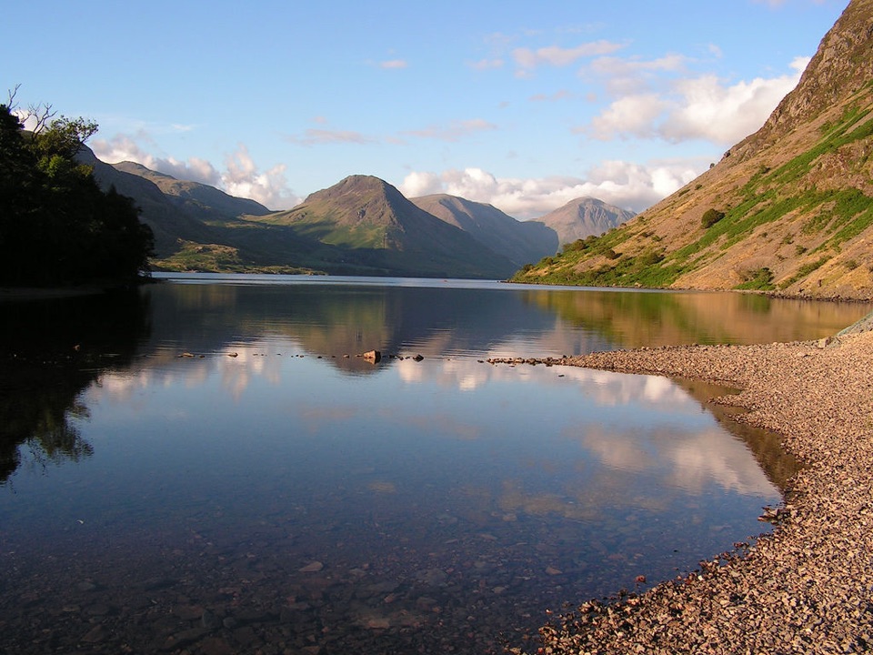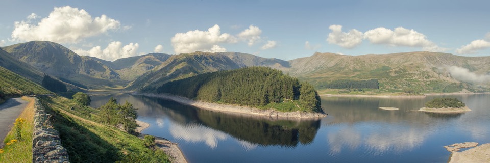
Haweswater Reservoir in Lake District National Park

Sight · Lake District National Park

Haweswater Reservoir

A remote mountain reservoir where quiet paths meet the High Street fells

Photo: Flickr
Type
Sight
Nearest trail
3.1 km
Audio stories
3 nearby
  • Parking

Hear the audio tour

Haweswater and Mardale Head

Overview

About Haweswater Reservoir

Why stop

  • Big mountain-and-water views with fewer crowds than the central Lakes
  • Excellent birdwatching and wildlife potential

Heads up

  • Remote approach with almost no services at the water
  • The full circuit can be rough and partly road-based
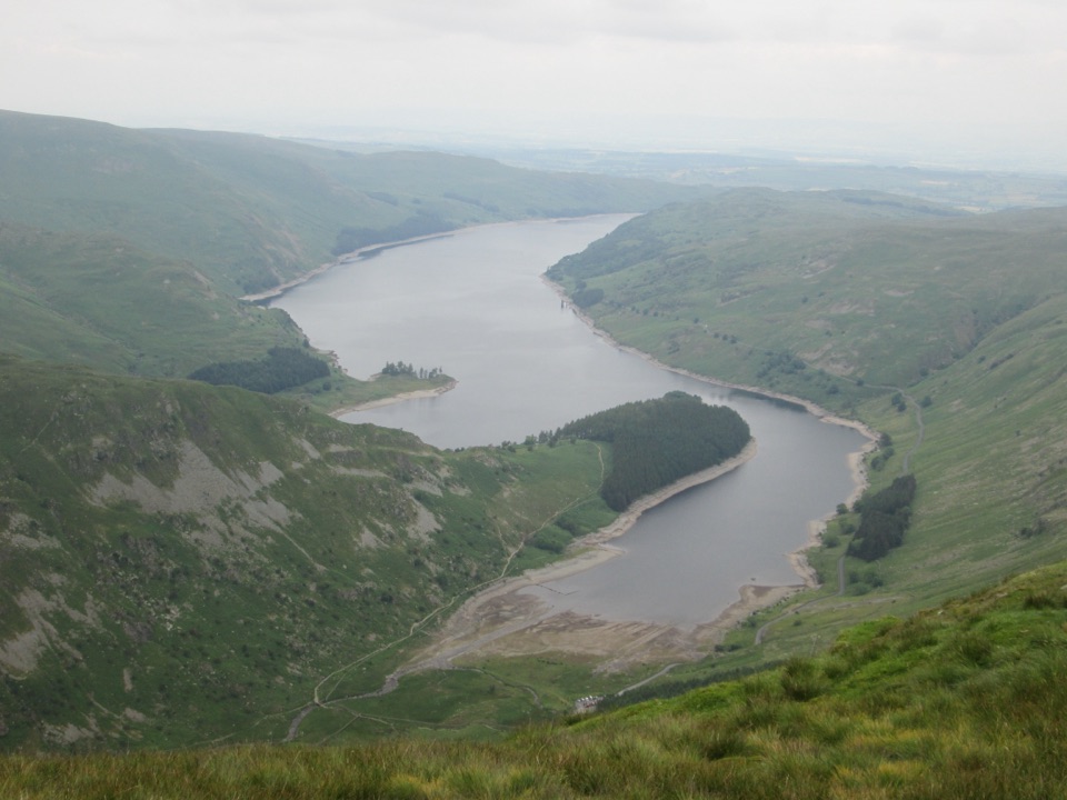
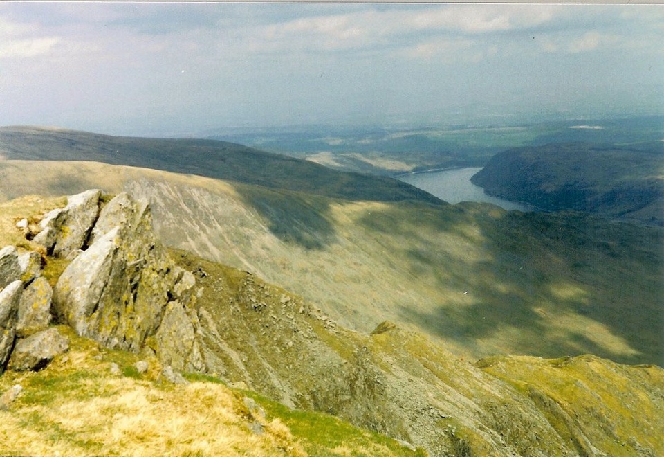
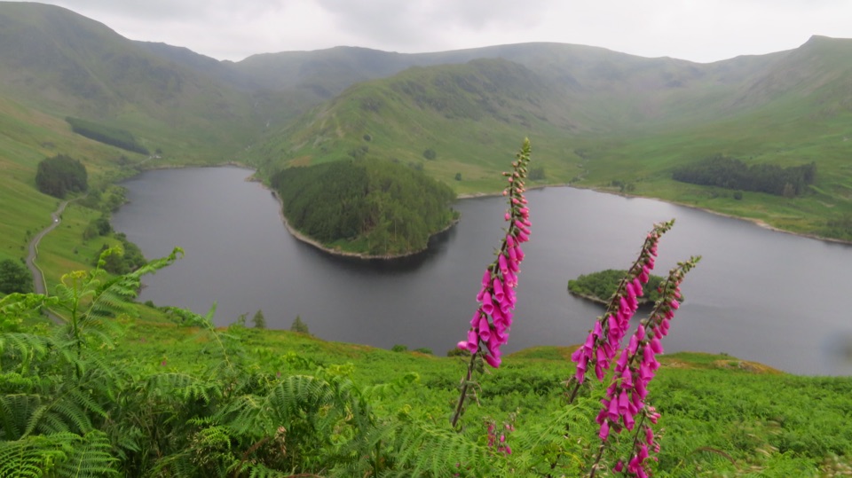
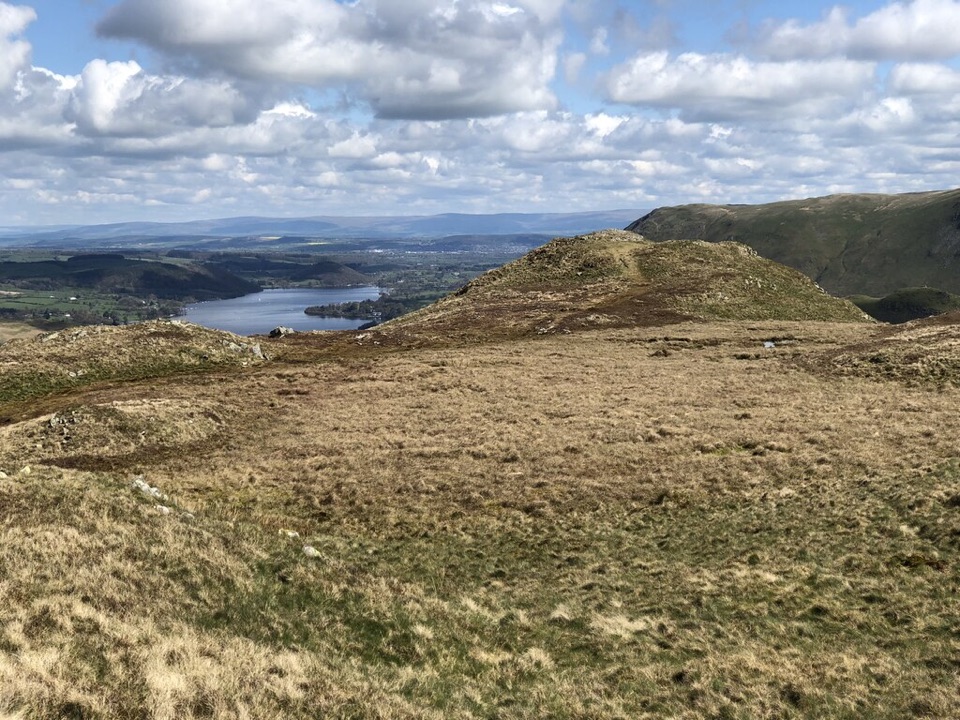
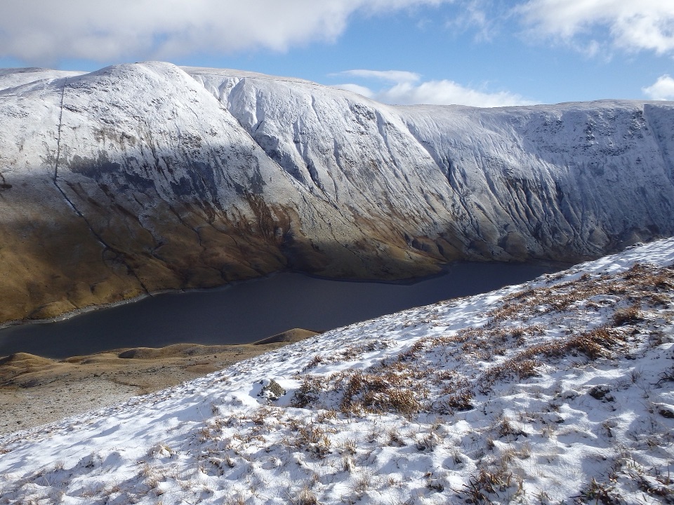
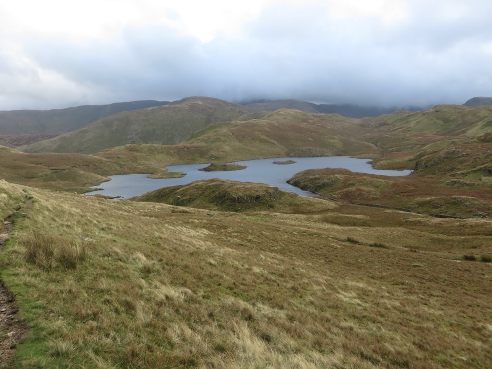
Haweswater is a long, remote reservoir tucked into Mardale, where steep fells close around the water and the valley feels much wilder than the busier central Lakes. The view changes constantly as the light moves across the slopes, with The Rigg peninsula and the High Street fells giving the reservoir its distinctive shape. It is a strong choice when you want mountain scenery and quiet rather than a village waterfront or a busy lake cruise.
Parkwolf’s verdictWhy stop

Map

Where it is

Loading the Lake District map
Full map
SightHaweswater Reservoir54.51330, -2.79566
Keep this map with you offline in the Parkwolf app

Plan your stop

Before you go

Best time to go

For the best reflections and side light, arrive early or stay toward late afternoon. Clear weather opens the biggest views, while mist can make the head of the reservoir feel especially atmospheric. The approach is remote and services at the water are very limited, so bring food, water, waterproof layers, and shoes suitable for wet or rocky paths. Start early on busy weekends because the main car park is small and the full circuit is a substantial outing.


8 active Lake District alerts

  • ClosureChapel Stile footpath closed for retaining-wall riskPart of Footpath 543030 between Chapel Stile and Baysbrown campsite is closed because a retaining wall beside the path could collapse and material it supports could fall across the footpath.Official details
  • ClosureStanley Ghyll Lower Falls footpath closed for rockfallThe section of Footpath 408037 leading towards Stanley Ghyll Lower Falls is closed because severe rockfall damage has made the path unstable and further rockfall remains a danger.Official details
See all 8 alerts
A park ranger sits on a dash-mounted phone, talking, as Parkwolf’s Tour Guide plays “Army Cutworm Moths: A Grizzly Bear Buffet” on Grand Loop Road below Dunraven Pass in Yellowstone
Parkwolf Tour GuideThe highest, rockiest slopes around here are a summer buffet for grizzly bears.

Lake District Tour Guide

Your drive to Haweswater Reservoir, narrated.

Parkwolf is a GPS audio tour guide for Lake District National Park. As you drive, it chimes in with what’s ahead: hidden gems, upcoming stops, history, geology, and wildlife, right through your car’s speakers.

Recorded for this place

Haweswater and Mardale Head
0:00 / 1:18
“You're nearing Mardale Head at the southern end of Haweswater, where steep fells rise around the reservoir and the walks begin beside the water.”

Plays as you drive up to Haweswater Reservoir in the Parkwolf Lake District Tour Guide.

More stories near here in the app

  • Burnbanks: The Village Built for a Dam
  • Swindale: Walk to the Lower Falls
  • Redstarts: Watch for the Flickering Tail
  • The Cockpit: A Stone Circle on the Fell
  • 298 audio storiesacross Lake District’s roads, triggered by GPS as you drive
  • Wildlife heatmapsfor Red Deer, Eurasian Otter, Osprey, and 13 more
  • Works offlinemaps, 265 trails, 89 places, and audio download before you lose signal
  • CarPlay readysimple controls built for the drive
★★★★★
“Fantastic app with many points of information… It’s great to just turn on while you’re driving and it gives you an audio tour of the national Park. We love it!!!!”
JMJamesApp Store review
Download Parkwolf on the App StoreGet Parkwolf on Google Play

4.7 from 8,600+ ratings

Guide

More about Haweswater Reservoir

What to expectThe main visitor access is at Mardale Head, at the southern end of the reservoir.

The main visitor access is at Mardale Head, at the southern end of the reservoir. An information board marks the circular route around the water, which takes about five to six hours for a full circuit. You can get a good feel for the landscape from a shorter lakeside outing, but this is not a flat, fully surfaced promenade. The far side can be uneven and rough, and some versions of the circuit use road walking, so sturdy footwear matters.

Wildlife and the old valleyHaweswater is managed as a drinking-water reservoir and is also an important wildlife landscape.

Haweswater is managed as a drinking-water reservoir and is also an important wildlife landscape. Look up toward the crags for peregrines, and scan the becks and wooded edges for dippers and redstarts. The water supports schelly, a protected whitefish, along with other lake fish, though seeing one is not a realistic visitor expectation.

The reservoir was created by damming the original lakes in the Mardale valley. The old village of Mardale Green was vacated before the water rose, and its drowned valley is part of the place's story. The result feels less like a conventional recreational lake and more like a high mountain valley shaped by a water-supply project.

Wildlife

Wildlife in Lake District

All Lake District wildlife maps

Sighting maps show where each species has been reported across Lake District. Wildlife moves, so no sighting is guaranteed.

Parkwolf’s Lake District ranking

Top sights in Lake District

All 89 places
  1. 1WindermereSight
  2. 2Scafell PikeSight
  3. 3UllswaterSight
  4. 4DerwentwaterSight
  5. 5Wast WaterSight
  6. 6Aira ForceSight

Take Parkwolf to Lake District.

The audio tour guide for the drive, plus offline maps, trails, and wildlife heatmaps for when the signal drops.

4.7 from 8,600+ ratings

Download Parkwolf on the App StoreGet Parkwolf on Google Play