Parking
Start at Mardale Head Car Park at the head of Haweswater. Reach it by the slow, winding road along the reservoir. The car park holds about 25 vehicles and has no public services; overnight parking is prohibited.
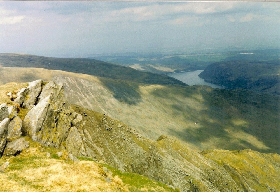
Lake District National Park, EN
Steep ridge scramble to five summits high above Haweswater's crags
Overview
This is a loop of 8.1 miles round trip, starting and finishing at Mardale Head Car Park, with about 824 m of ascent and five named fells. The mapped centerline measures 7.98 miles and closes back at the car park, so treat 8.1 miles as the stored round-trip figure. Allow around 5 hours at a steady walking pace, longer if you stop for views or the cloud comes down and you need to navigate carefully.
Mardale Head is a well-known starting point and the small car park draws walkers on fine weekends, but the Rough Crag ridge is generally quieter than the busiest Lakeland ridges, and the plateau summits can feel empty. This suits walkers who want a high-level circuit with several tops in one day. It is a poor choice for a casual stroll, for a wet low-cloud day, or if you are not comfortable with sustained steep ground. If the full circuit is too much, the shorter High Street and Mardale Ill Bell walk is a more focused alternative from the same valley.
 Parkwolf’s verdictCrowds and Who It Suits
Map & elevation
Plan your hike

The highest, rockiest slopes around here are a summer buffet for grizzly bears.
Lake District Tour Guide
Parkwolf is a GPS audio tour guide for Lake District National Park. As you drive, it chimes in with what’s ahead: hidden gems, upcoming stops, history, geology, and wildlife, right through your car’s speakers.
Recorded for this trailhead
Haweswater and Mardale Head“You're nearing Mardale Head at the southern end of Haweswater, where steep fells rise around the reservoir and the walks begin beside the water.”
Plays as you drive up to this trailhead in the Parkwolf Lake District Tour Guide.
More stories near here in the app
“Fantastic app with many points of information… It’s great to just turn on while you’re driving and it gives you an audio tour of the national Park. We love it!!!!”


Trail guide
From the car park the path skirts the head of the reservoir and passes below The Rigg before the real work begins: a steep, sustained climb over Rough Crag and up the Riggindale and Long Stile ridge to High Street. From there the walk crosses the Straits of Riggindale to Rampsgill Head, continues to High Raise, then turns back to Kidsty Pike before descending by Kidsty Howes and Randale Beck and returning over The Rigg to the car park. The reward is the constantly shifting view over Haweswater, deep into Riggindale, and across to Blea Water and the eastern fells, with Riggindale Crag seen best from the High Street rim and Kidsty Pike framed from the Straits.
Rate this hard mountain hiking, 7 out of 10. It is not technical climbing, and the ridge gives little sense of exposure to most walkers, but it is a serious fell day:
The ridge is flanked by steep crags, so poor visibility or strong wind changes the character of the day completely. Boots with good grip, a map and compass, and the confidence to use them are the minimum.
Riggindale is a classic glacial U-shaped valley, scooped out below crags and holding the reservoir at its foot, with corrie tarns, heather and upland grass on the higher ground. Birds of prey and other fell wildlife may be seen from the ridge, though nothing is guaranteed.
The walk starts and ends at Mardale Head Car Park, roughly 54.48921, -2.82041, near grid reference NY469 107. It is free, holds about 25 vehicles, and has no public services of any kind, so bring your own water and food. The approach is a slow, winding road along the length of Haweswater, so allow more driving time than the distance suggests. There is no opening-hour restriction, but overnight parking is prohibited under a public-space order. Phone signal is absent across much of the area, so plan on being out of contact.
Pets are allowed on the public rights of way used by this loop. Keep dogs on leads around livestock and ground-nesting birds, particularly through the nesting season, and stay on the rights of way where the ground is very steep and uneven. Be plain with yourself about this one: the crags flanking the Rough Crag and Long Stile ridge make it potentially dangerous for dogs, and it is not a route for a dog that is not sure-footed and reliably under control.
Wildlife
 81 sightingsRed DeerMost seen around 7 PMSighting map
 13 sightingsEurasian OtterMost seen around 6 AMSighting map
 76 sightingsOspreyMost seen around 8 AMSighting map
 51 sightingsEuropean BadgerMost seen around 8 PMSighting map
 233 sightingsMute SwanMost seen around 6 PMSighting map
 176 sightingsGrey HeronMost seen around 7 AMSighting map
Sighting maps show where each species has been reported across Lake District. Wildlife moves, so no sighting is guaranteed.
Keep exploring
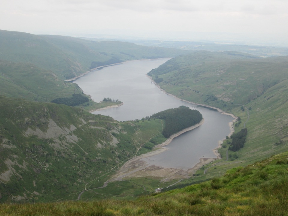 ChallengingHarter Fell from Mardale Head7.5 km · 3.5 hr · At the trailheadSteep ridge circuit above Haweswater, with a high tarn and stepping stonesChallengingHigh Street from Mardale Head23.3 km · 8.5 hr · At the trailheadA long fell circuit from Haweswater across High Street and remote tops
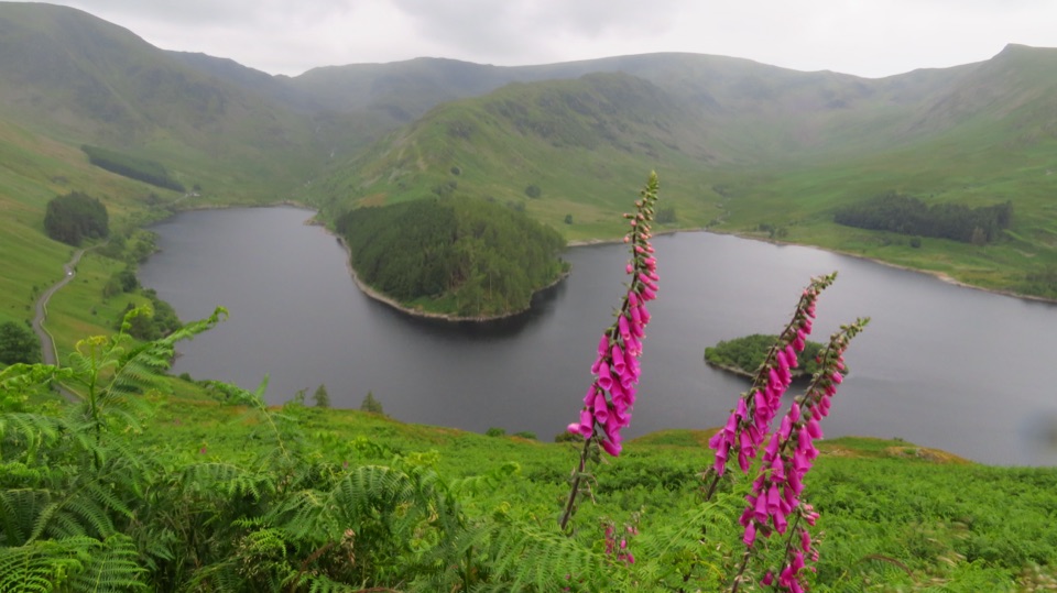 ChallengingBranstree and Selside Pike from Mardale Head9.3 km · 3.5 hr · At the trailheadSteep pass climb, boggy ridge, and an old corpse road to Haweswater
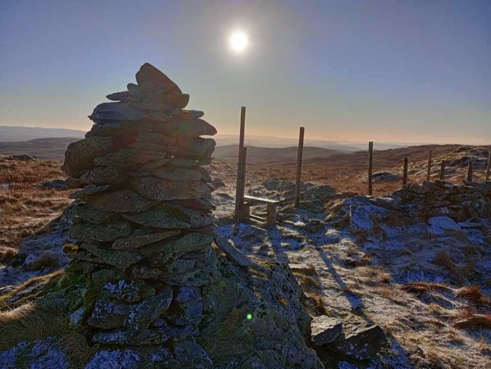 ModerateGrey Crag, Harrop Pike and Tarn Crag11.3 km · 4.5 hr · 5.2 km awayFour summit tops and a boggy, quiet sweep above Longsleddale
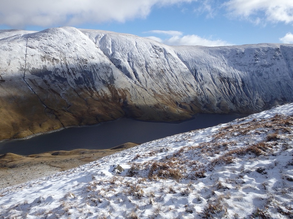 ModerateAround Hayeswater Reservoir7.9 km · 3 hr · 6.3 km awayA rough, quiet mountain tarn loop with cascades and old mine ruins
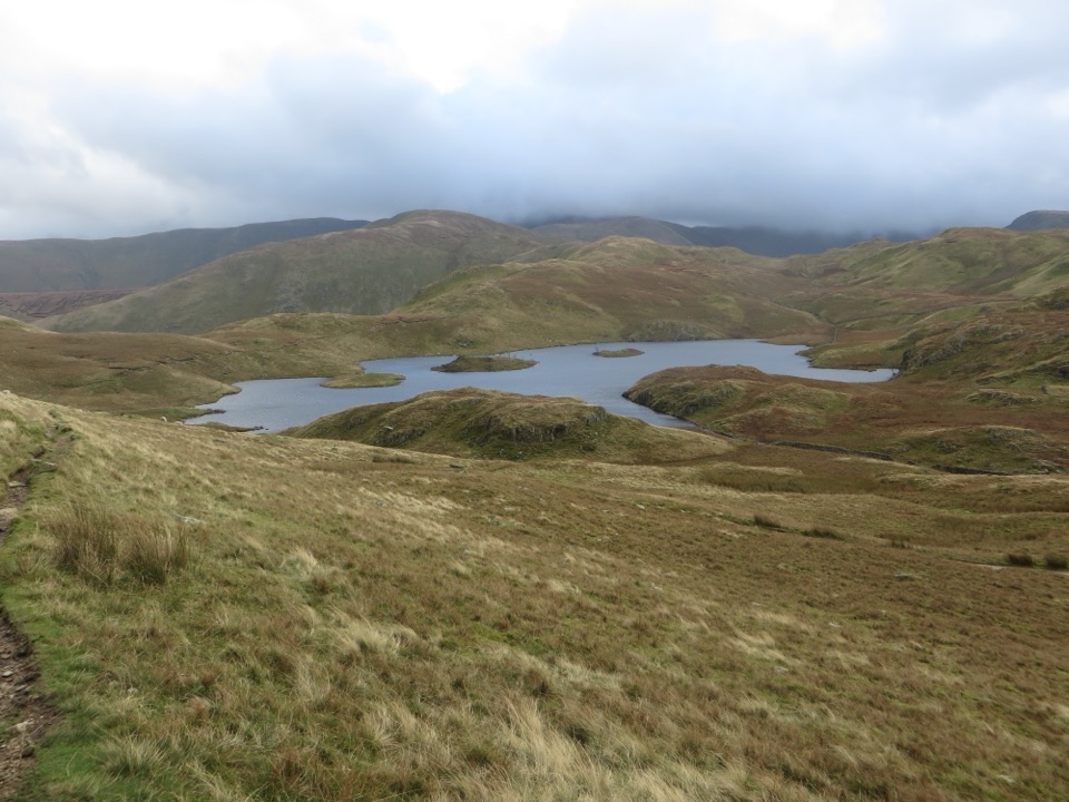 ModerateAngletarn Pikes from Hartsop11.6 km · 4.5 hr · 6.3 km awayA rough, rewarding circuit linking Angle Tarn with two airy felltops
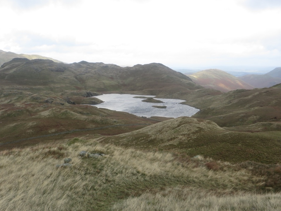 ModerateBrock Crags and Angletarn Pikes Circular12.2 km · 4.5 hr · 6.3 km awayTarn, twin rocky tops and wild boggy fells above a quiet valley
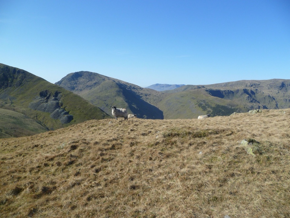 ChallengingPasture Beck Round from Hartsop10.5 km · 5 hr · 6.3 km awayFour summit tops and a rugged horseshoe above a quiet valley
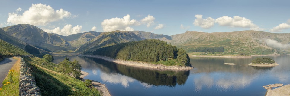 Sight · 3.1 km awayHaweswater ReservoirA remote mountain reservoir where quiet paths meet the High Street fells
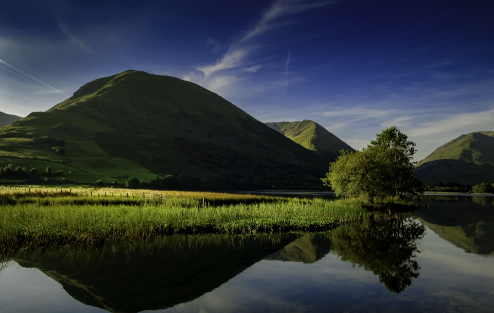 Sight · 7 km awayBrothers WaterA reed-fringed lake with big fell reflections and an easy shore walk
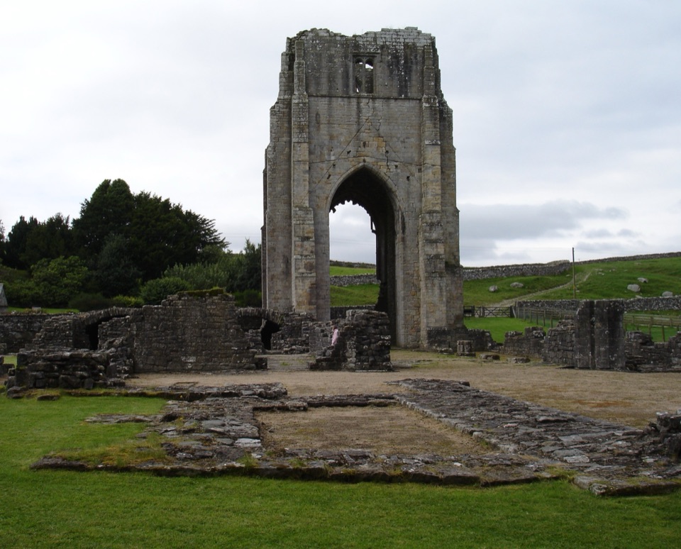 Sight · 9 km awayShap AbbeyA quiet monastic ruin with a striking 15th-century west tower
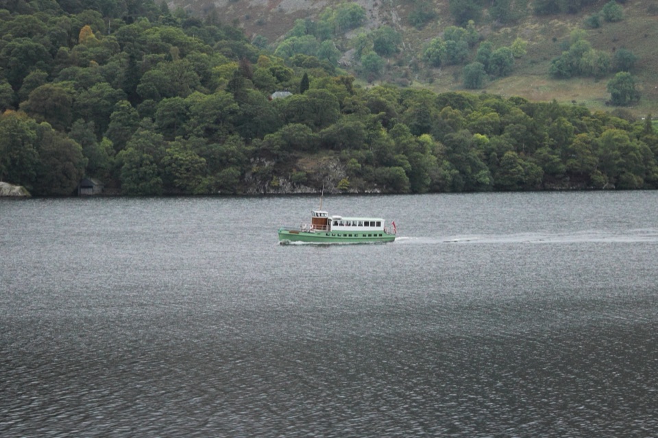 Sight · 10.1 km awayUllswater SteamersHeritage boats turn Ullswater into a moving mountain panorama
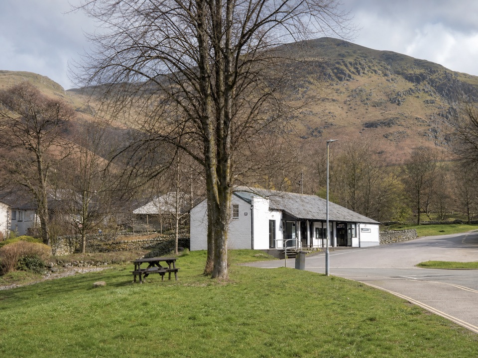 Visitor center · 10.4 km awayUllswater Information CentreA practical launchpad for Ullswater walks, boats, and local know-how
 Sight · 10.5 km awayUllswaterA mountain-rimmed lake made for cruises, walks, and changing light
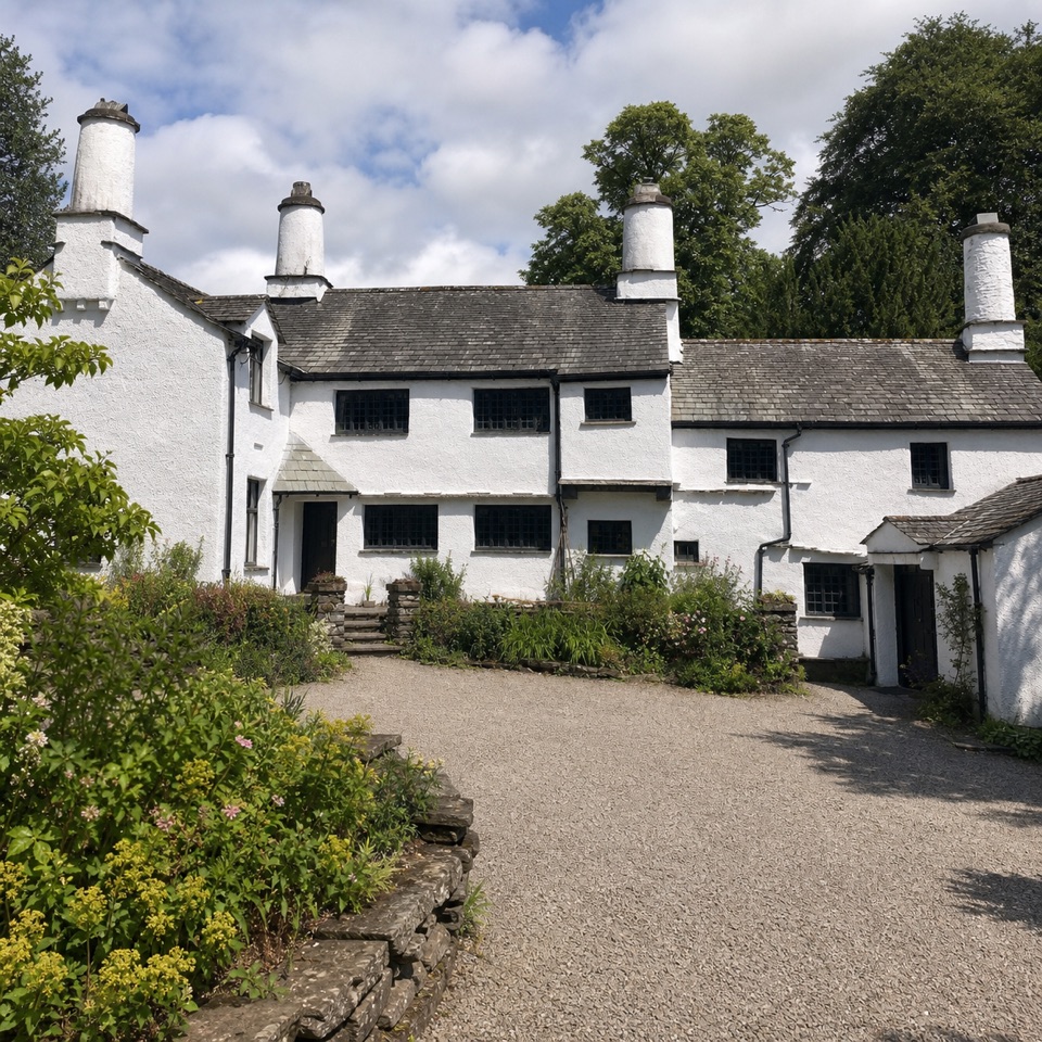 Sight · 10.5 km awayTownendA lived-in farmhouse where 400 years of Browne family life remain.
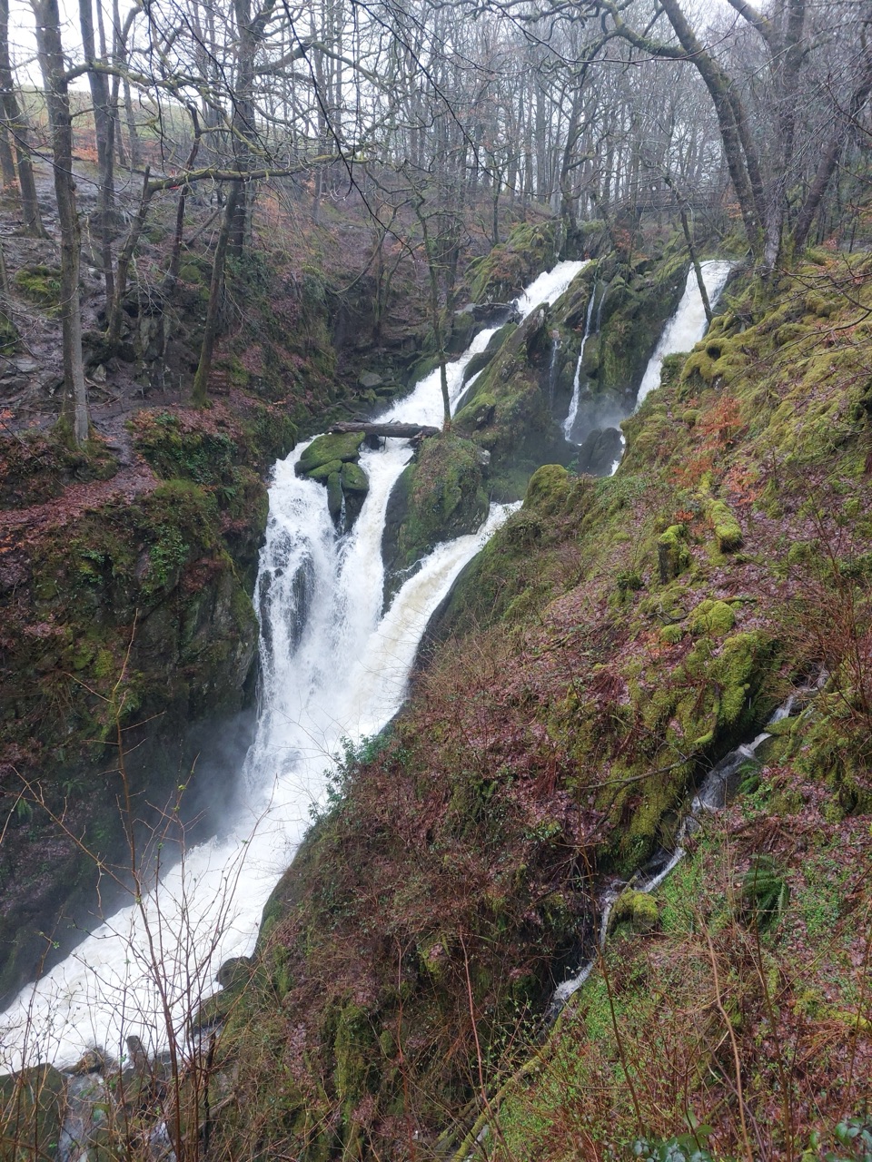 Sight · 10.5 km awayStock Ghyll ForceA short woodland walk to a 70-foot cascade above Ambleside
Parkwolf’s Lake District ranking
The audio tour guide for the drive, plus offline maps, trails, and wildlife heatmaps for when the signal drops.





