Parking
Start at the small roadside spaces by St Martin's Church in Martindale, near CA10 2NF. Parking is limited: use only clear legal spaces, and never block gates, passing places, the lane or farm access.
Lake District National Park, EN
A quiet ridge circuit with Ullswater views and a rough fell descent
Overview
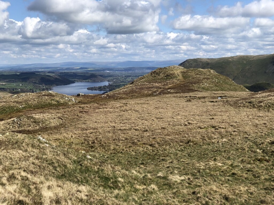
A 3.8-mile loop from St Martin's Church in Martindale climbs past Winter Crag to Beda Head, follows the open ridge, then descends through Bedafell Knott to Dalehead before returning along the valley lane. The stored distance is the complete loop from the church, including the road and bridleway return. Expect heather, rough grass, rocky steps and broad Ullswater views; allow about three hours for the climb, summit pause and descent. It is a quieter, lower-key fell walk, but the approach is through narrow lanes and Martindale has no shops or public toilets. Dogs are allowed on the public route, but keep them close around livestock and red deer.
Map & elevation
Plan your hike

The highest, rockiest slopes around here are a summer buffet for grizzly bears.
Lake District Tour Guide
Parkwolf is a GPS audio tour guide for Lake District National Park. As you drive, it chimes in with what’s ahead: hidden gems, upcoming stops, history, geology, and wildlife, right through your car’s speakers.
Recorded for this trailhead
Martindale: Beda Fell Ridge Walk“You're coming up on St Martin's Church in Martindale, the starting point for a quieter ridge walk over Beda Fell.”
Plays as you drive up to this trailhead in the Parkwolf Lake District Tour Guide.
More stories near here in the app
“Fantastic app with many points of information… It’s great to just turn on while you’re driving and it gives you an audio tour of the national Park. We love it!!!!”


Wildlife
 81 sightingsRed DeerMost seen around 7 PMSighting map
 13 sightingsEurasian OtterMost seen around 6 AMSighting map
 76 sightingsOspreyMost seen around 8 AMSighting map
 51 sightingsEuropean BadgerMost seen around 8 PMSighting map
 233 sightingsMute SwanMost seen around 6 PMSighting map
 176 sightingsGrey HeronMost seen around 7 AMSighting map
Sighting maps show where each species has been reported across Lake District. Wildlife moves, so no sighting is guaranteed.
Keep exploring
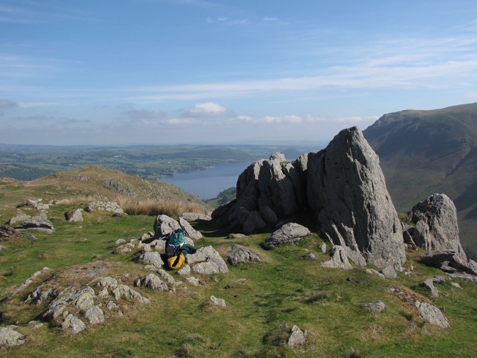 ChallengingFusedale Round: Steel Knotts, Wether Hill, Loadpot Hill, Arthur's Pike and Bonscale Pike14.3 km · 4.5 hr · 0.8 km awayFive quiet fells above Ullswater, ending with a steep grassy descent
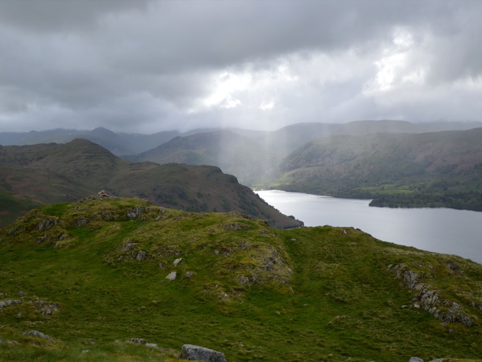 ModerateHallin Fell2.2 km · 1.8 hr · 0.8 km awaySteep grassy mile to a giant obelisk high above UllswaterModerateSteel Knotts and Pikeawassa4 km · 2 hr · 0.8 km awayA short, steep loop to a rocky Ullswater viewpoint
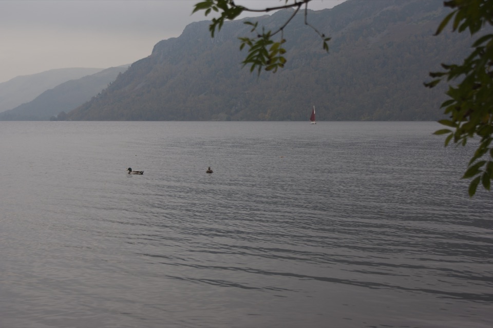 EasyAira Force to Glencoyne Trail1.9 km · 45 min · 3.7 km awayLakeshore and woodland link route between two Ullswater car parks
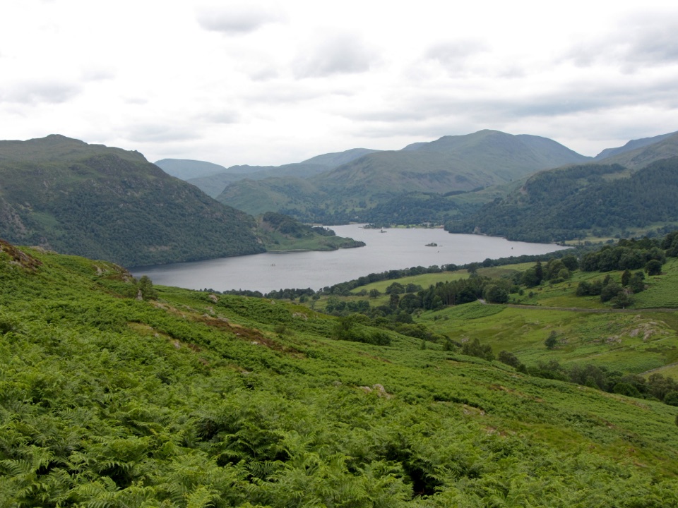 ModerateAira Force and Gowbarrow Park Trail7.2 km · 2.5 hr · 3.7 km awayWaterfalls, a summit panorama, and Ullswater views in one loop
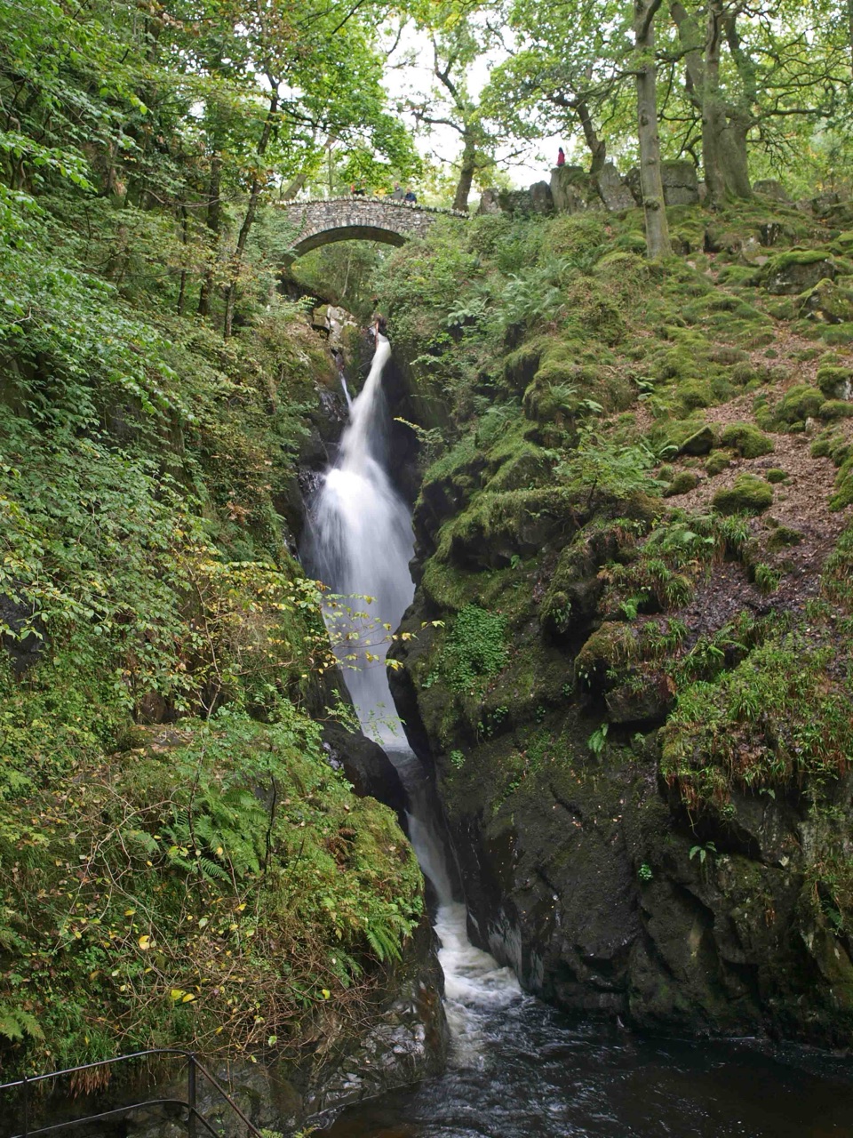 EasyAira Force Waterfall Walk1.6 km · 1.3 hr · 3.7 km awayStepped woodland climb to a 65-foot fall, one mile round trip
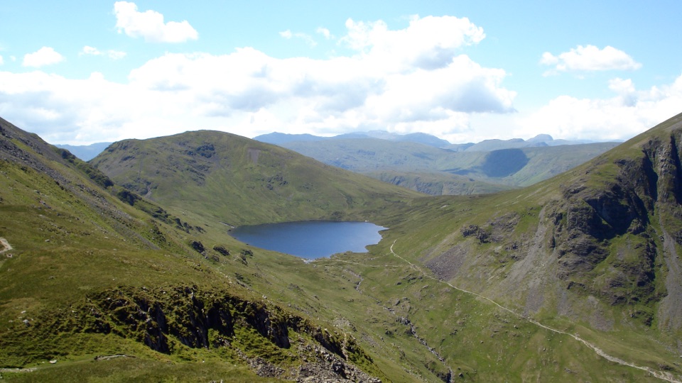 ChallengingSt Sunday Crag and Grisedale Tarn14.5 km · 5.5 hr · 4.6 km awayA high ridge, airy crags, and a tarn-filled valley return
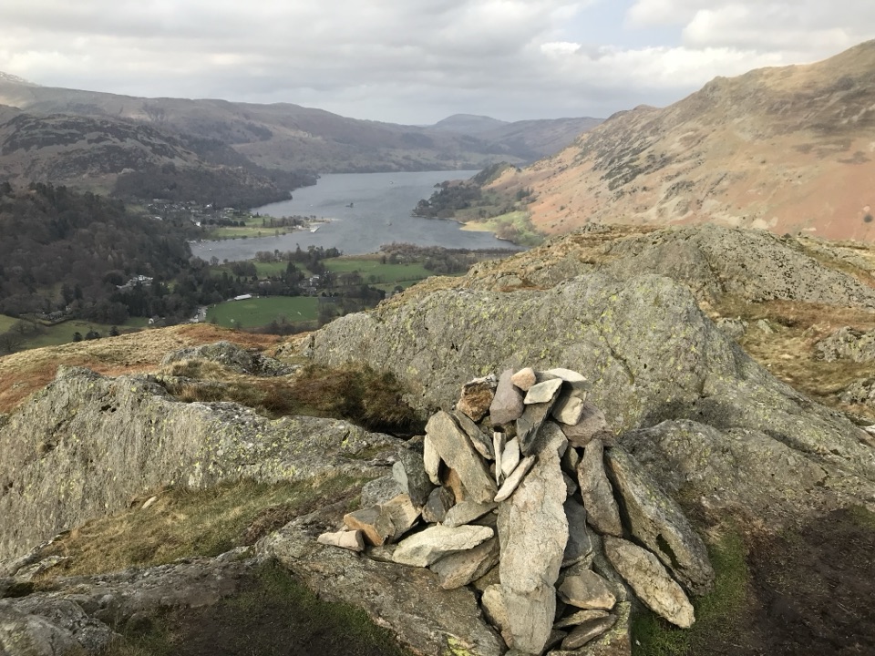 ModerateBirks and Arnison Crag Circular7.9 km · 3.3 hr · 4.6 km awayTwo summits, a rough ridge, and Ullswater views from Patterdale
 Sight · 2.1 km awayUllswaterA mountain-rimmed lake made for cruises, walks, and changing light
 Sight · 4.1 km awayAira ForceA wooded waterfall walk with bridges, cascades, and Ullswater views
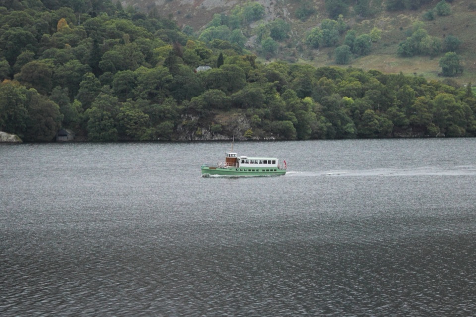 Sight · 4.7 km awayUllswater SteamersHeritage boats turn Ullswater into a moving mountain panorama
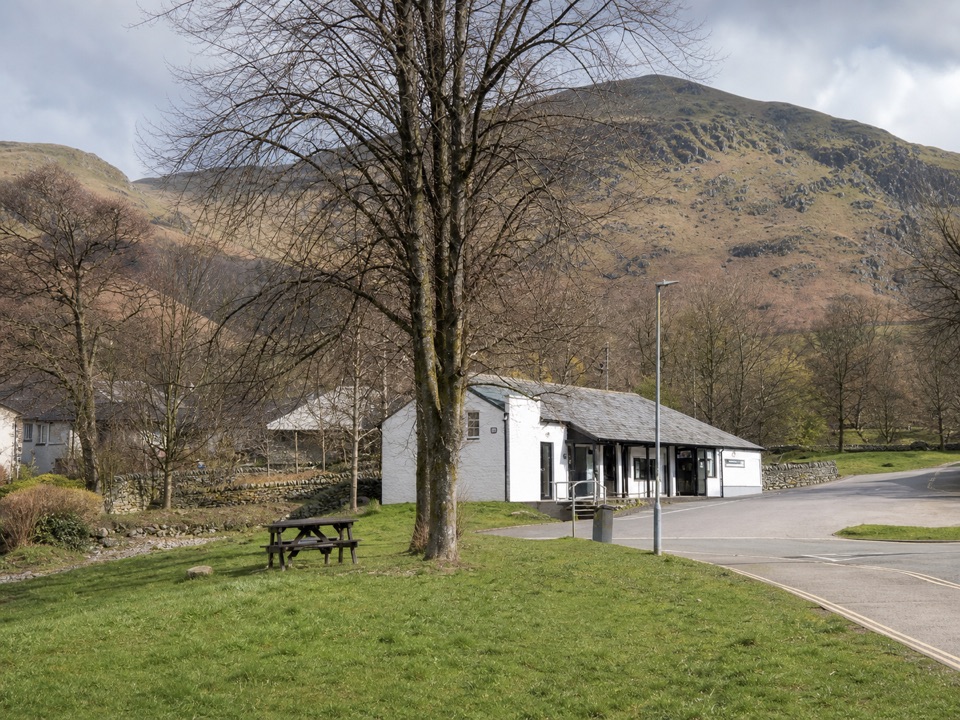 Visitor center · 5 km awayUllswater Information CentreA practical launchpad for Ullswater walks, boats, and local know-how
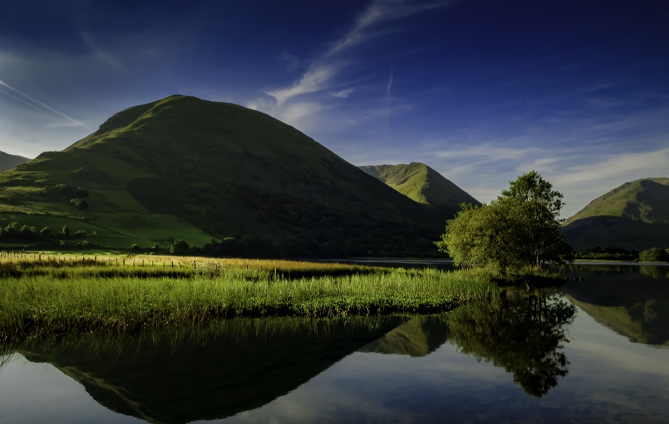 Sight · 6.4 km awayBrothers WaterA reed-fringed lake with big fell reflections and an easy shore walk
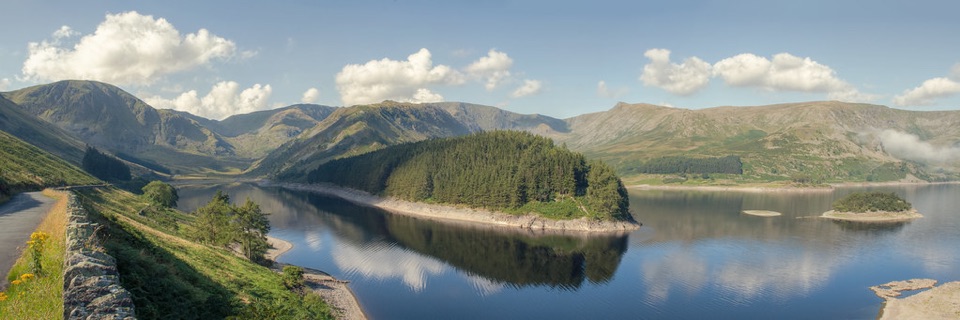 Sight · 7.2 km awayHaweswater ReservoirA remote mountain reservoir where quiet paths meet the High Street fells
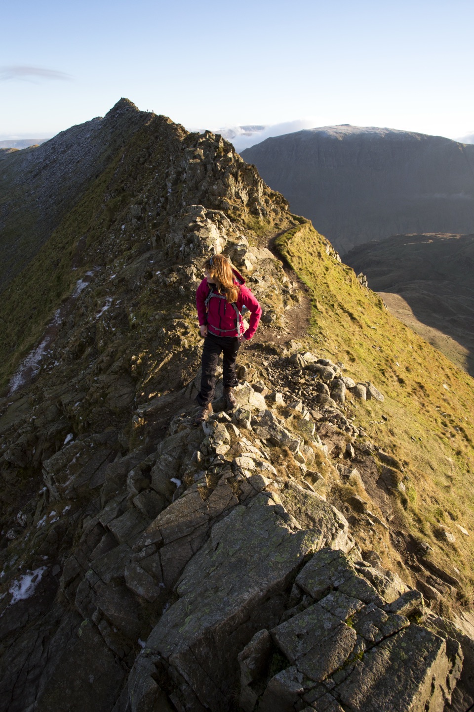 Sight · 9.7 km awayHelvellynEngland's third-highest peak, ringed by two airy ridges
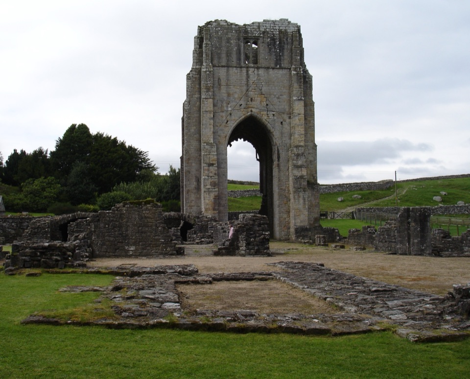 Sight · 11.8 km awayShap AbbeyA quiet monastic ruin with a striking 15th-century west tower
Parkwolf’s Lake District ranking

The audio tour guide for the drive, plus offline maps, trails, and wildlife heatmaps for when the signal drops.





