Parking
Start at Mardale Head Car Park at the end of the road beside Haweswater. The lot has about 25 spaces and no services; bring what you need and take waste away.
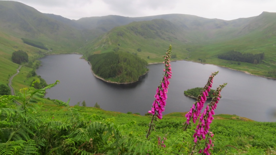
Lake District National Park, EN
Steep pass climb, boggy ridge, and an old corpse road to Haweswater
Overview
Map & elevation
Plan your hike

The highest, rockiest slopes around here are a summer buffet for grizzly bears.
Lake District Tour Guide
Parkwolf is a GPS audio tour guide for Lake District National Park. As you drive, it chimes in with what’s ahead: hidden gems, upcoming stops, history, geology, and wildlife, right through your car’s speakers.
Recorded for this trailhead
Haweswater and Mardale Head“You're nearing Mardale Head at the southern end of Haweswater, where steep fells rise around the reservoir and the walks begin beside the water.”
Plays as you drive up to this trailhead in the Parkwolf Lake District Tour Guide.
More stories near here in the app
“Fantastic app with many points of information… It’s great to just turn on while you’re driving and it gives you an audio tour of the national Park. We love it!!!!”


Trail guide
A circular fell walk of 5.8 miles (9.3 km) from Mardale Head, taking in two quiet fells above Haweswater. Allow about 3.5 hours to complete the whole loop, with published timings running from roughly 3 to 4 hours depending on pace and conditions. Total ascent is around 556 to 579 metres (1,800 to 1,900 feet).
Rated 7/10, hard. The work is front-loaded on Gatescarth Pass, then the ground turns rough open fell with peat and bog that gets properly squelchy in wet weather. The drop off Selside End on the Corpse Road is steep and stony, so knees and poles earn their keep. Boots with real grip and a tolerance for wet feet are the right call.
The pass and the Corpse Road are clear. The link between them is not. The grassy ascent to Branstree is indistinct, and the ridge across to Selside Pike is best followed by keeping the fence line as your guide. Carry a map and compass and know how to use them, since there is little to navigate by once you are on the plateau in poor visibility.
Big views back over Haweswater and into the head of Mardale, with remote, empty country either side of the ridge. The descent is the historical highlight: the Old Corpse Road was once used to carry the dead out of the valley, and it passes abandoned stone buildings and waterfalls on the way down.
Start from Mardale Head Car Park at the end of the road beside Haweswater. It holds about 25 vehicles, is free, and has no services, so no toilets, water or shop. It is a remote end-of-road access point, so bring what you need and take all waste away with you.
Dogs are welcome on the public route. Sheep and cattle graze the fells and the valley floor, so keep dogs close and on a lead around livestock.
Wildlife
 81 sightingsRed DeerMost seen around 7 PMSighting map
 13 sightingsEurasian OtterMost seen around 6 AMSighting map
 76 sightingsOspreyMost seen around 8 AMSighting map
 51 sightingsEuropean BadgerMost seen around 8 PMSighting map
 233 sightingsMute SwanMost seen around 6 PMSighting map
 176 sightingsGrey HeronMost seen around 7 AMSighting map
Sighting maps show where each species has been reported across Lake District. Wildlife moves, so no sighting is guaranteed.
Keep exploring
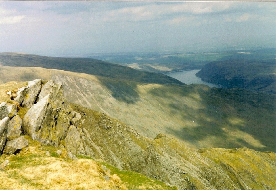 ChallengingHigh Street from Mardale Head23.3 km · 8.5 hr · At the trailheadA long fell circuit from Haweswater across High Street and remote tops
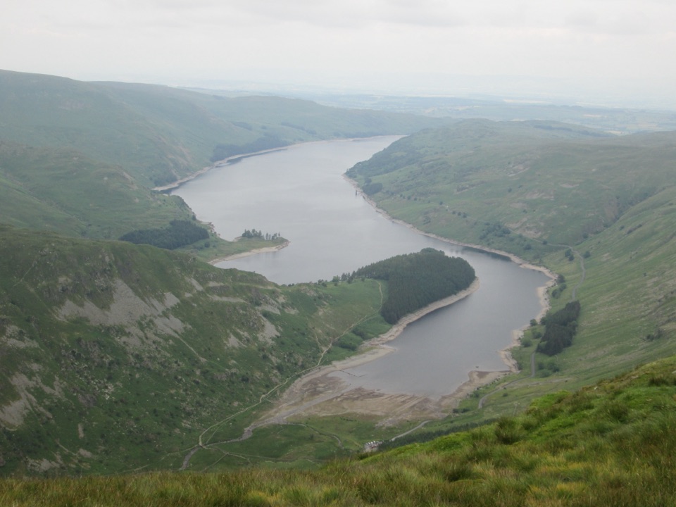 ChallengingHarter Fell from Mardale Head7.5 km · 3.5 hr · At the trailheadSteep ridge circuit above Haweswater, with a high tarn and stepping stonesChallengingRiggindale Round13 km · 5 hr · At the trailheadSteep ridge scramble to five summits high above Haweswater's crags
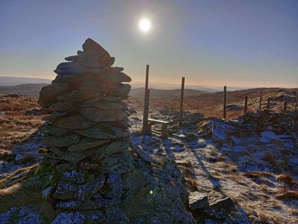 ModerateGrey Crag, Harrop Pike and Tarn Crag11.3 km · 4.5 hr · 5.2 km awayFour summit tops and a boggy, quiet sweep above Longsleddale
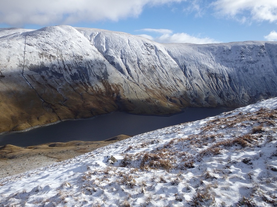 ModerateAround Hayeswater Reservoir7.9 km · 3 hr · 6.3 km awayA rough, quiet mountain tarn loop with cascades and old mine ruins
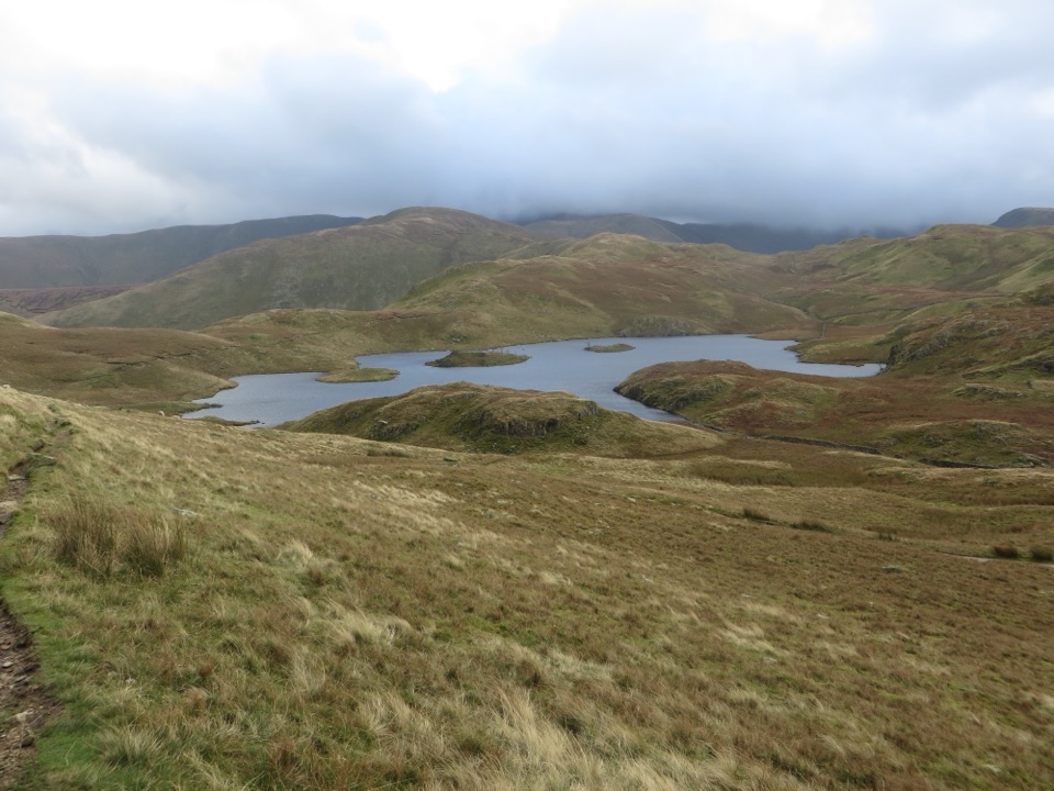 ModerateAngletarn Pikes from Hartsop11.6 km · 4.5 hr · 6.3 km awayA rough, rewarding circuit linking Angle Tarn with two airy felltops
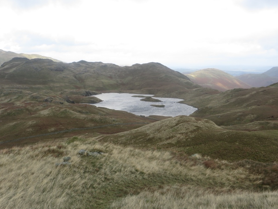 ModerateBrock Crags and Angletarn Pikes Circular12.2 km · 4.5 hr · 6.3 km awayTarn, twin rocky tops and wild boggy fells above a quiet valley
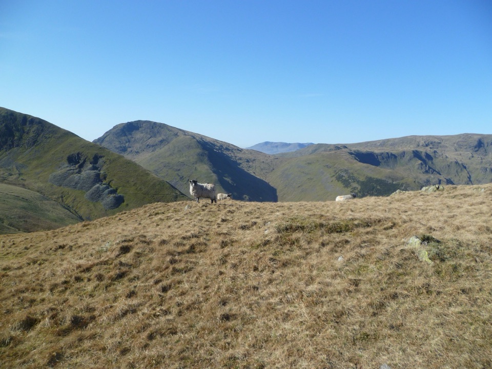 ChallengingPasture Beck Round from Hartsop10.5 km · 5 hr · 6.3 km awayFour summit tops and a rugged horseshoe above a quiet valley
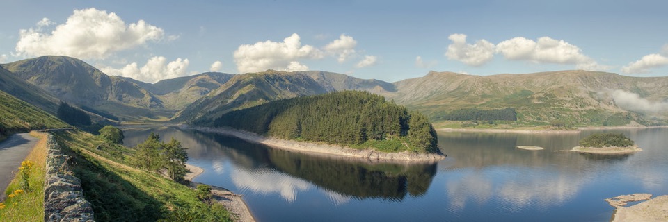 Sight · 3.2 km awayHaweswater ReservoirA remote mountain reservoir where quiet paths meet the High Street fells
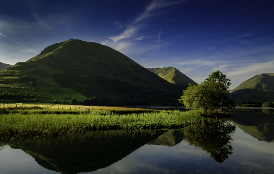 Sight · 7 km awayBrothers WaterA reed-fringed lake with big fell reflections and an easy shore walk
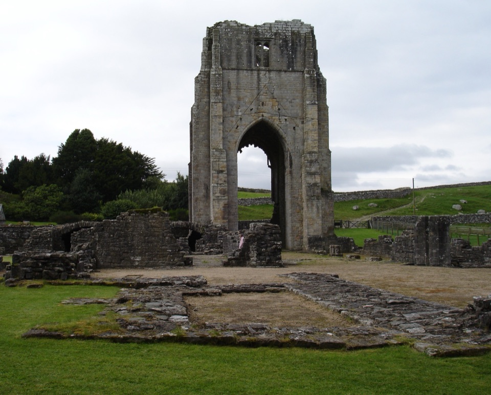 Sight · 9.1 km awayShap AbbeyA quiet monastic ruin with a striking 15th-century west tower
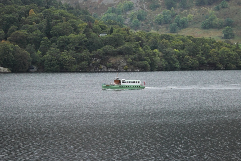 Sight · 10 km awayUllswater SteamersHeritage boats turn Ullswater into a moving mountain panorama
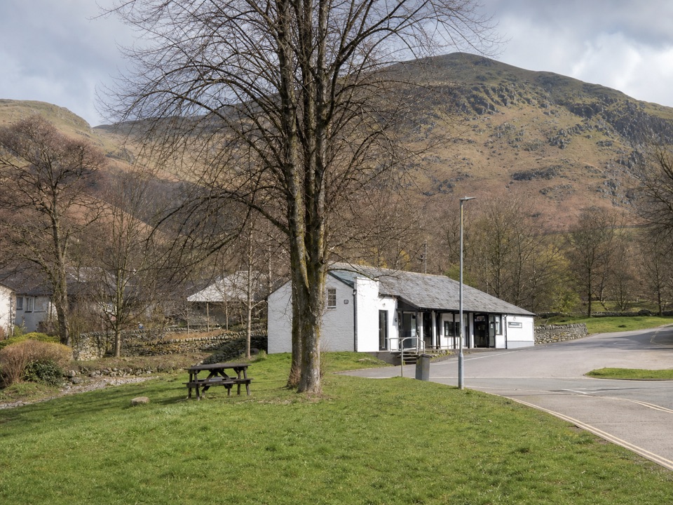 Visitor center · 10.3 km awayUllswater Information CentreA practical launchpad for Ullswater walks, boats, and local know-how
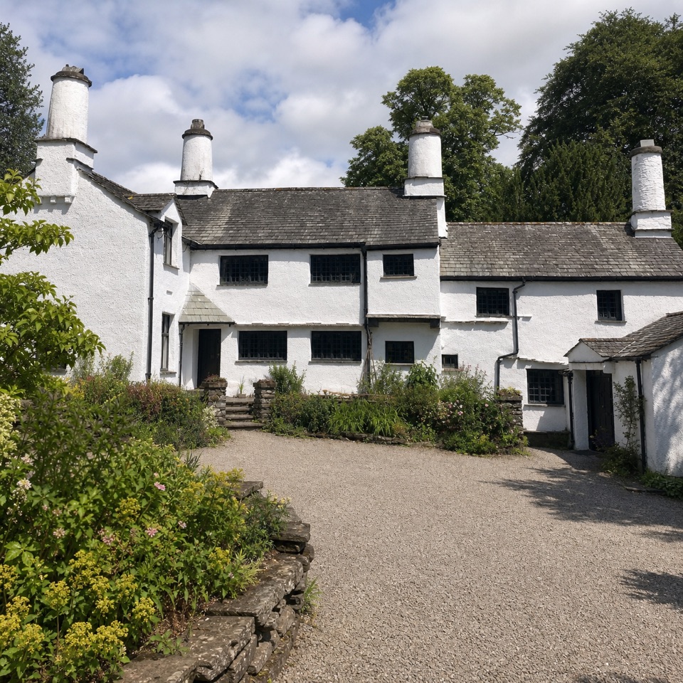 Sight · 10.4 km awayTownendA lived-in farmhouse where 400 years of Browne family life remain.
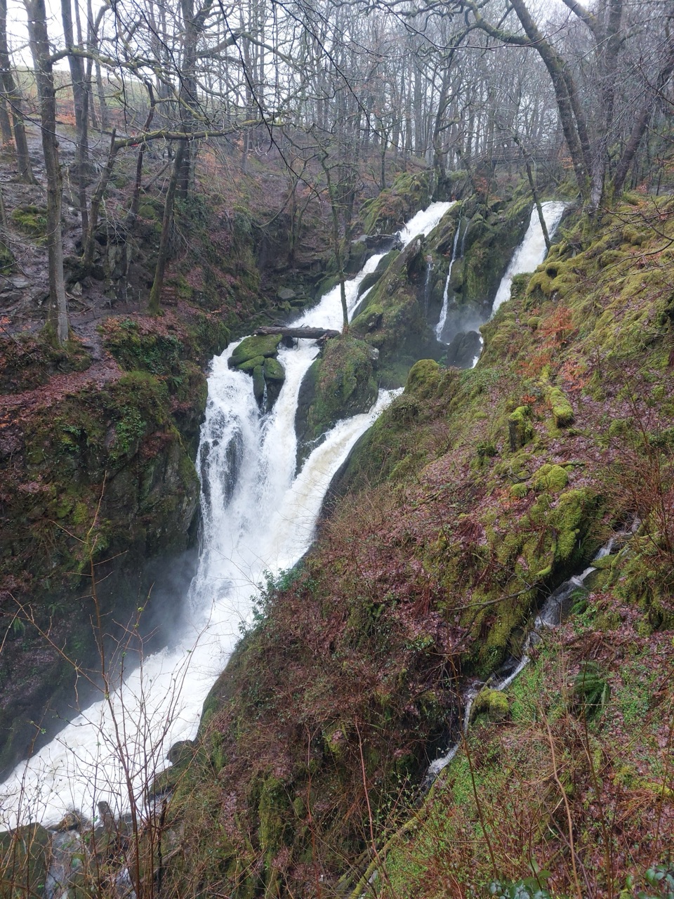 Sight · 10.5 km awayStock Ghyll ForceA short woodland walk to a 70-foot cascade above Ambleside
 Sight · 10.5 km awayUllswaterA mountain-rimmed lake made for cruises, walks, and changing light
Parkwolf’s Lake District ranking

The audio tour guide for the drive, plus offline maps, trails, and wildlife heatmaps for when the signal drops.





