Parking
Start at Mardale Head Car Park at the end of the public road beside Haweswater, grid reference NY469107. It is a small car park of roughly 25 spaces and fills on busy days. Arrive early and do not obstruct the road or turning area.
Lake District National Park, EN
Steep ridge circuit above Haweswater, with a high tarn and stepping stones
Overview
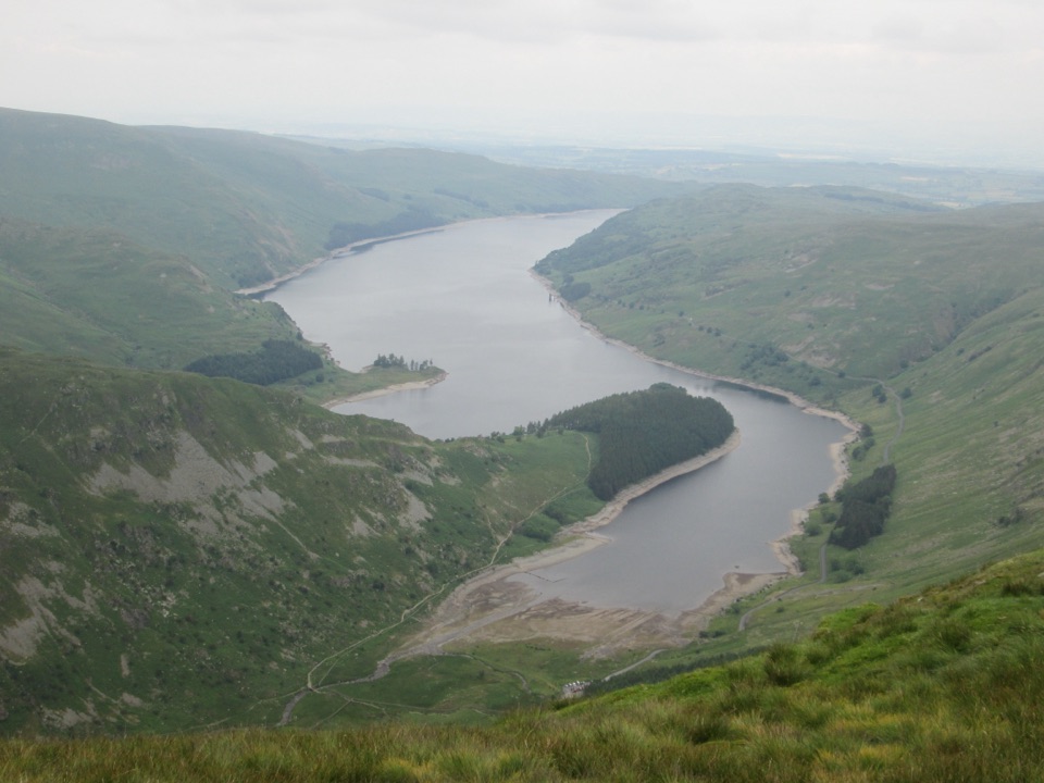
Haweswater fills the view for much of the climb and from the summit, with the reservoir stretched out below and the surrounding fells ranged around it. Small Water is the quieter highlight on the return, a dark tarn ringed by boulders. The circuit packs a genuine high mountain day into a short distance.
 Parkwolf’s verdictThe payoff
Map & elevation
Plan your hike

The highest, rockiest slopes around here are a summer buffet for grizzly bears.
Lake District Tour Guide
Parkwolf is a GPS audio tour guide for Lake District National Park. As you drive, it chimes in with what’s ahead: hidden gems, upcoming stops, history, geology, and wildlife, right through your car’s speakers.
Recorded for this trailhead
Haweswater and Mardale Head“You're nearing Mardale Head at the southern end of Haweswater, where steep fells rise around the reservoir and the walks begin beside the water.”
Plays as you drive up to this trailhead in the Parkwolf Lake District Tour Guide.
More stories near here in the app
“Fantastic app with many points of information… It’s great to just turn on while you’re driving and it gives you an audio tour of the national Park. We love it!!!!”


Trail guide
A 4.66 mile (7.49 km) loop from Mardale Head Car Park at the head of Haweswater, climbing to the Harter Fell summit ridge and returning past Small Water. Expect roughly 530 to 550 m of ascent and about 3.5 hours at an ordinary pace. Fitter walkers move faster, but treat quicker estimates as a minimum rather than a plan.
Rated hard, about 7/10. There is no technical climbing, but the ground is demanding:
Boots with ankle support and good grip make a noticeable difference on the descent.
The Gatescarth Pass track is obvious, but the ridge and upper descent can be indistinct, with faint trods braiding across grass and rock. Carry a map and compass and be confident using them, especially if cloud drops onto the tops. The outflow of Small Water is crossed on stepping stones, which can be slippery and awkward when water levels are high, so check the crossing before committing and be prepared to take extra care.
Start from Mardale Head Car Park at the end of the public road beside Haweswater, grid reference NY469107 (approximately 54.48915, -2.82040). It is a small surface car park of roughly 25 spaces and fills on busy days. Arrive early, and do not park so as to obstruct the road or turning area. The approach road is a long dead end, so plan for the drive back out.
Ordinary dogs are welcome. Water is available at both passes and at Small Water. Keep dogs under close control or on a short lead around livestock, horses, and other walkers, and bear in mind that the bouldery descent and the stepping stones are hard work for smaller or older dogs.
Wildlife
 81 sightingsRed DeerMost seen around 7 PMSighting map
 13 sightingsEurasian OtterMost seen around 6 AMSighting map
 76 sightingsOspreyMost seen around 8 AMSighting map
 51 sightingsEuropean BadgerMost seen around 8 PMSighting map
 233 sightingsMute SwanMost seen around 6 PMSighting map
 176 sightingsGrey HeronMost seen around 7 AMSighting map
Sighting maps show where each species has been reported across Lake District. Wildlife moves, so no sighting is guaranteed.
Keep exploring
 ChallengingRiggindale Round13 km · 5 hr · At the trailheadSteep ridge scramble to five summits high above Haweswater's cragsChallengingHigh Street from Mardale Head23.3 km · 8.5 hr · At the trailheadA long fell circuit from Haweswater across High Street and remote tops
 ChallengingBranstree and Selside Pike from Mardale Head9.3 km · 3.5 hr · At the trailheadSteep pass climb, boggy ridge, and an old corpse road to Haweswater
 ModerateGrey Crag, Harrop Pike and Tarn Crag11.3 km · 4.5 hr · 5.2 km awayFour summit tops and a boggy, quiet sweep above Longsleddale
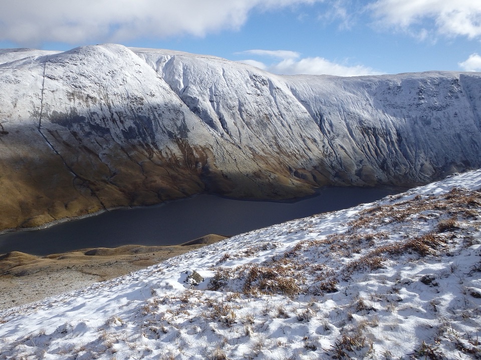 ModerateAround Hayeswater Reservoir7.9 km · 3 hr · 6.3 km awayA rough, quiet mountain tarn loop with cascades and old mine ruins
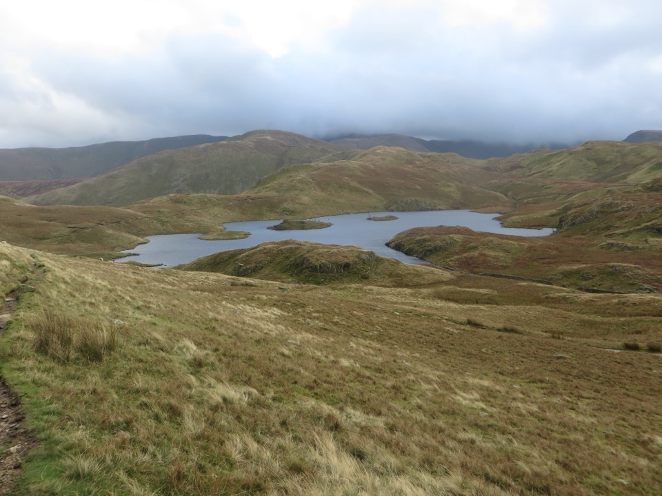 ModerateAngletarn Pikes from Hartsop11.6 km · 4.5 hr · 6.3 km awayA rough, rewarding circuit linking Angle Tarn with two airy felltops
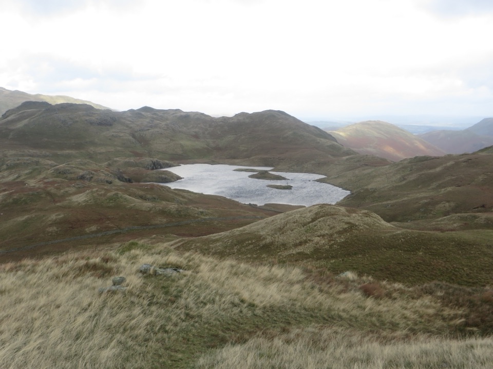 ModerateBrock Crags and Angletarn Pikes Circular12.2 km · 4.5 hr · 6.3 km awayTarn, twin rocky tops and wild boggy fells above a quiet valley
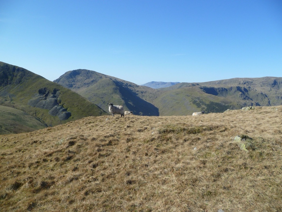 ChallengingPasture Beck Round from Hartsop10.5 km · 5 hr · 6.3 km awayFour summit tops and a rugged horseshoe above a quiet valley
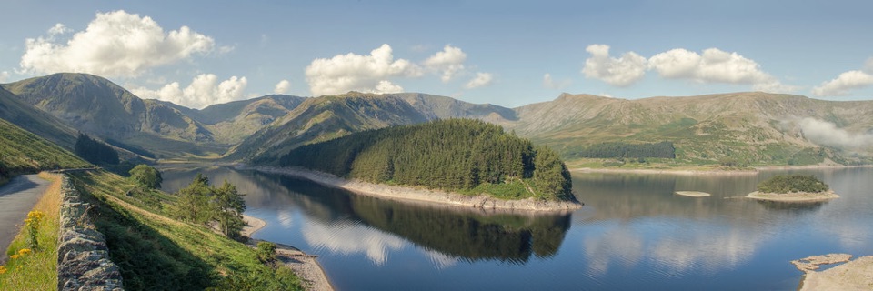 Sight · 3.1 km awayHaweswater ReservoirA remote mountain reservoir where quiet paths meet the High Street fells
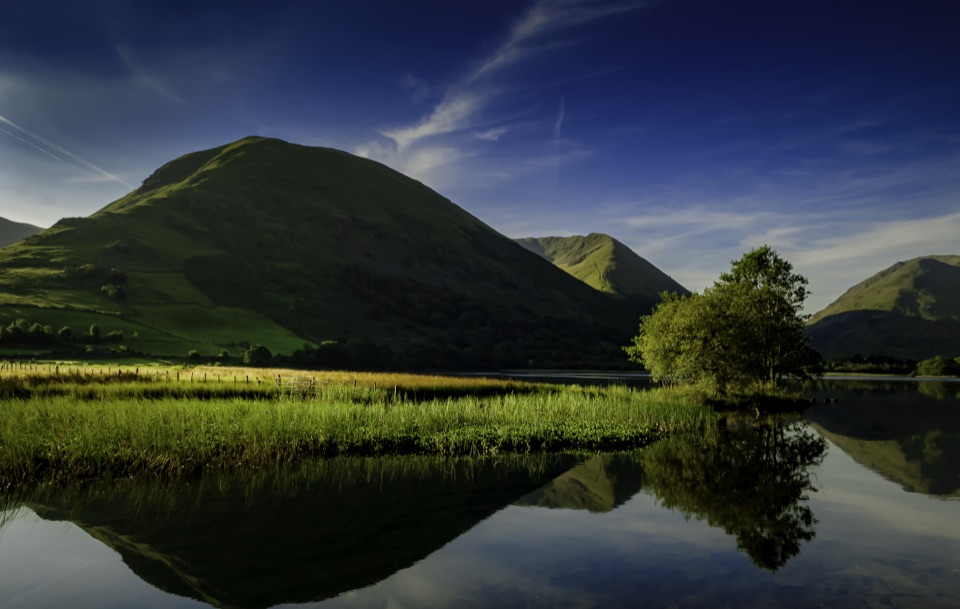 Sight · 7 km awayBrothers WaterA reed-fringed lake with big fell reflections and an easy shore walk
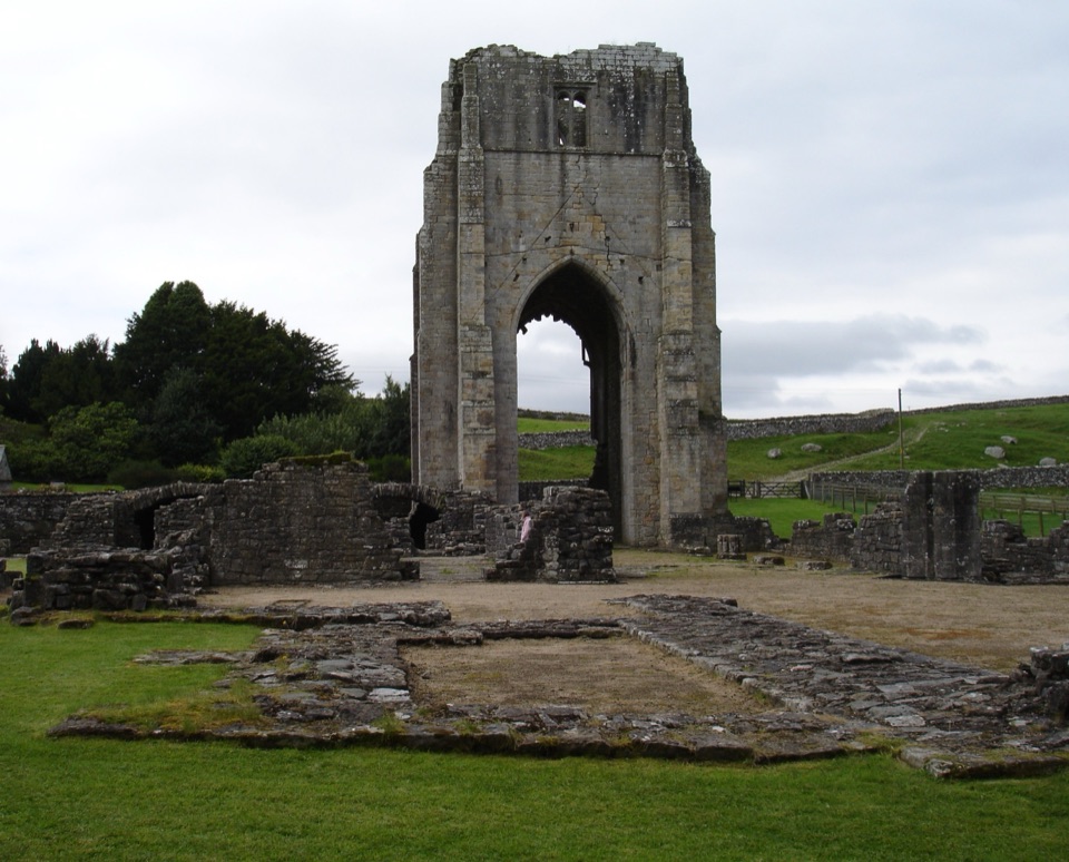 Sight · 9 km awayShap AbbeyA quiet monastic ruin with a striking 15th-century west tower
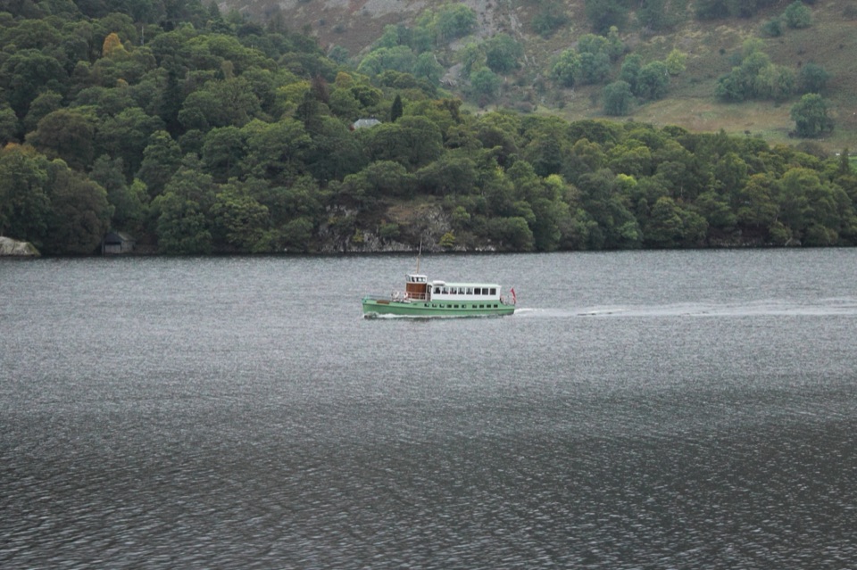 Sight · 10.1 km awayUllswater SteamersHeritage boats turn Ullswater into a moving mountain panorama
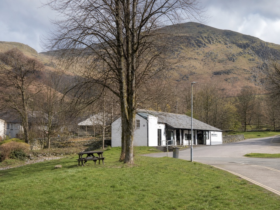 Visitor center · 10.4 km awayUllswater Information CentreA practical launchpad for Ullswater walks, boats, and local know-how
 Sight · 10.5 km awayUllswaterA mountain-rimmed lake made for cruises, walks, and changing light
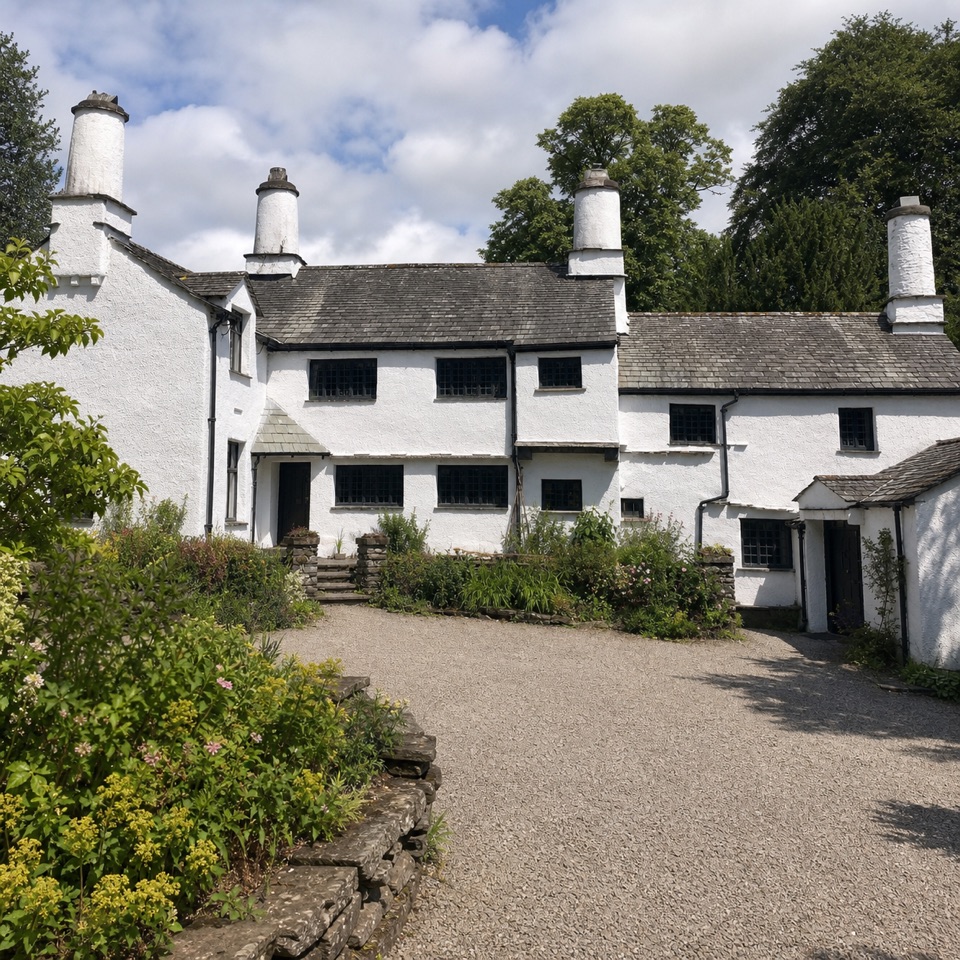 Sight · 10.5 km awayTownendA lived-in farmhouse where 400 years of Browne family life remain.
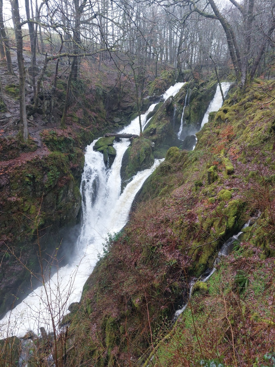 Sight · 10.5 km awayStock Ghyll ForceA short woodland walk to a 70-foot cascade above Ambleside
Parkwolf’s Lake District ranking
The audio tour guide for the drive, plus offline maps, trails, and wildlife heatmaps for when the signal drops.





