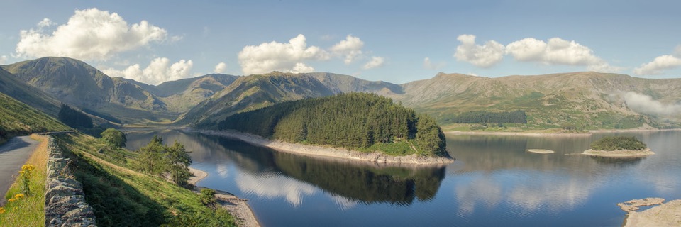
High Street from Mardale Head in Lake District National Park

Lake District National Park, EN

High Street from Mardale Head

A long fell circuit from Haweswater across High Street and remote tops

Photo: Wikimedia Commons
Length
23.3km
Time
8.5hr
Elev. change
559m
Difficulty
Challenging
  • Loop
  • Dogs allowed
  • High point 811 m
  • #51 of 265 in Lake District

Hear the audio tour

Haweswater and Mardale Head

Overview

About High Street from Mardale Head

This is a 14.5-mile (23 km) circular mountain walk from Mardale Head, measured as the complete loop. Allow around 8.5 hours including normal pauses. The route climbs from Haweswater to Small Water and Nan Bield Pass, crosses Mardale Ill Bell and High Street, then follows the high ground over The Knott, Rampsgill Head, Kidsty Pike, High Raise, Raven Howe, Red Crag and Wether Hill before descending over Bampton Common and returning beside Haweswater. Total ascent is about 1,025 m. This is a long, strenuous day rather than a short summit outing.

Why go

  • Full-day circuit with a real sense of remoteness
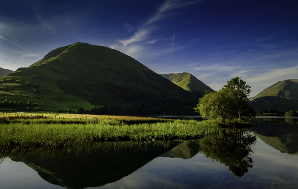
  • Several high tops and broad Haweswater views
  • Small Water and Nan Bield add variety before the summit ridge

Heads up

  • Long, strenuous route with limited bailout options
  • Boggy ground and faint paths make navigation important

Map & elevation

The route

Loading the Lake District map
Full map
Elevation252–811 m
TrailheadHigh Street from Mardale Head54.48911, -2.82043
Keep this map with you offline in the Parkwolf app

Plan your hike

Before you go

Parking

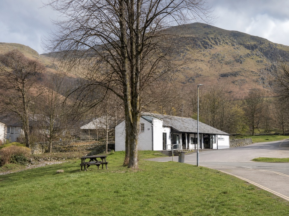
Use Mardale Head car park at the end of the narrow single-track road along the eastern shore of Haweswater. The compact lot has about 25 spaces and fills on busy days, so never obstruct the approach road. The route starts through the gate at the far end of the car park.


Safety

This is exposed, high-level mountain terrain with a long day out and limited shelter. Expect rough, sometimes boggy paths, loose rock, faint lines across broad tops and difficult navigation in mist. Carry enough water because reliable sources are limited on the high section, especially between High Street and Haweswater. Keep dogs on a short lead around livestock and from 1 March to 31 July.

8 active Lake District alerts

  • ClosureChapel Stile footpath closed for retaining-wall riskPart of Footpath 543030 between Chapel Stile and Baysbrown campsite is closed because a retaining wall beside the path could collapse and material it supports could fall across the footpath.Official details
  • ClosureStanley Ghyll Lower Falls footpath closed for rockfallThe section of Footpath 408037 leading towards Stanley Ghyll Lower Falls is closed because severe rockfall damage has made the path unstable and further rockfall remains a danger.Official details
See all 8 alerts
A park ranger sits on a dash-mounted phone, talking, as Parkwolf’s Tour Guide plays “Army Cutworm Moths: A Grizzly Bear Buffet” on Grand Loop Road below Dunraven Pass in Yellowstone
Parkwolf Tour GuideThe highest, rockiest slopes around here are a summer buffet for grizzly bears.

Lake District Tour Guide

Your drive to High Street from Mardale Head, narrated.

Parkwolf is a GPS audio tour guide for Lake District National Park. As you drive, it chimes in with what’s ahead: hidden gems, upcoming stops, history, geology, and wildlife, right through your car’s speakers.

Recorded for this trailhead

Haweswater and Mardale Head
0:00 / 1:18
“You're nearing Mardale Head at the southern end of Haweswater, where steep fells rise around the reservoir and the walks begin beside the water.”

Plays as you drive up to this trailhead in the Parkwolf Lake District Tour Guide.

More stories near here in the app

  • Swindale: Walk to the Lower Falls
  • Sadgill: Grey Crag and Tarn Crag
  • Burnbanks: The Village Built for a Dam
  • Hartsop: Hayeswater Gill and Tarn
  • 298 audio storiesacross Lake District’s roads, triggered by GPS as you drive
  • Wildlife heatmapsfor Red Deer, Eurasian Otter, Osprey, and 13 more
  • Works offlinemaps, 265 trails, 89 places, and audio download before you lose signal
  • CarPlay readysimple controls built for the drive
★★★★★
“Fantastic app with many points of information… It’s great to just turn on while you’re driving and it gives you an audio tour of the national Park. We love it!!!!”
JMJamesApp Store review
Download Parkwolf on the App StoreGet Parkwolf on Google Play

4.7 from 8,600+ ratings

Trail guide

Hiking High Street from Mardale Head

Route and payoffThe first climb is steady from the shoreline to Small Water and Nan Bield Pass.

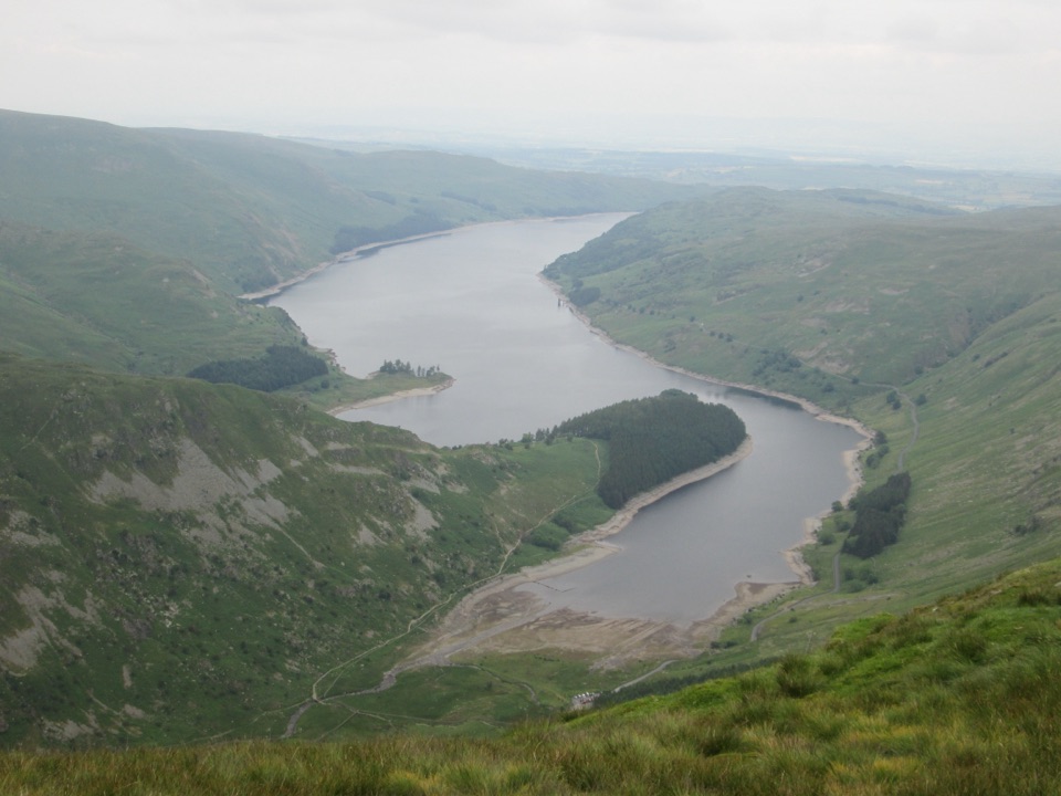
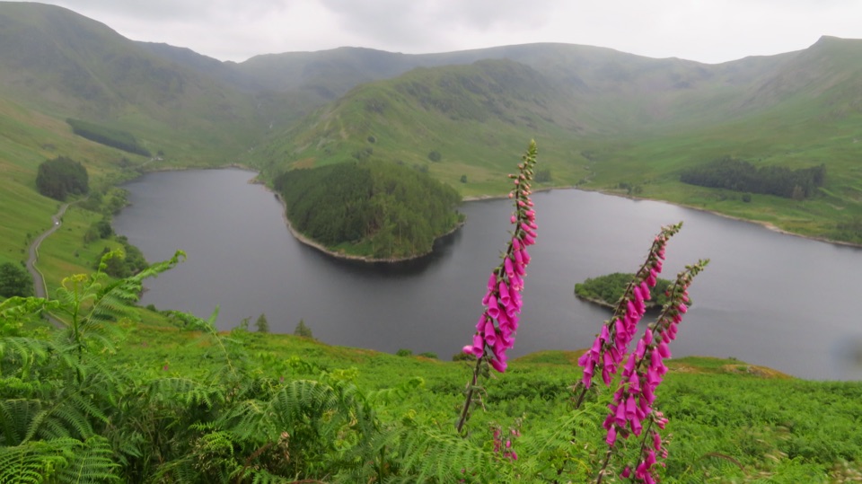
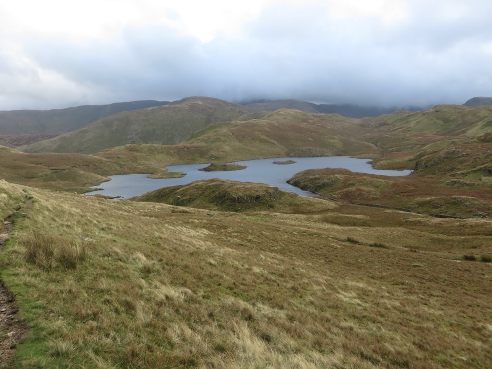
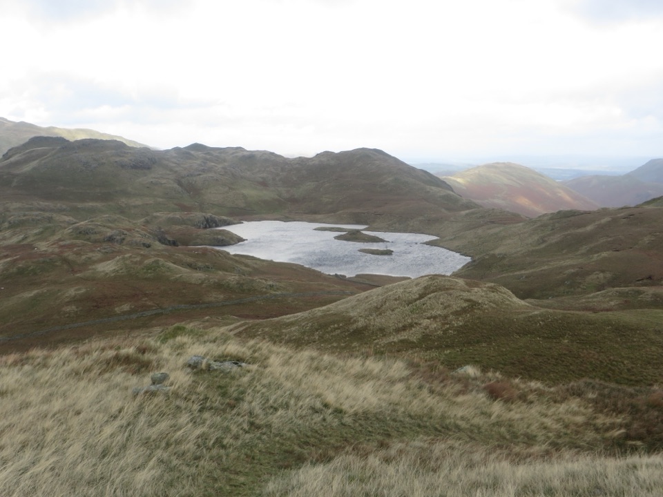
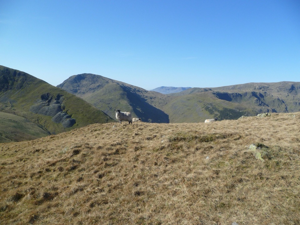
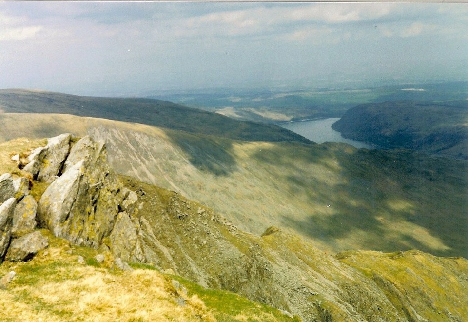
The first climb is steady from the shoreline to Small Water and Nan Bield Pass. Mardale Ill Bell and High Street deliver the best high-level views, with deep corrie scenery around Blea Water, Haweswater below and wide sightlines across the eastern fells. After the summit, the route stays high and remote for several miles, with a succession of broad tops and rough paths before the long descent towards Bampton Common and the reservoir shore. High Street is a broad grassy summit with a trig pillar, while the old Roman road ridge gives the northern half a distinctive historic thread.

Effort and conditionsAt roughly 1,025 m of ascent, this is a serious fell day.

At roughly 1,025 m of ascent, this is a serious fell day. Footing alternates between stony paths, rough grass, peat, boggy ground and eroded descents. There is no technical scramble on this line, but steep ground, loose rocks and the distance make it demanding. In mist, the broad plateaus, wall junctions and faint paths are easy to misread. The exposed tops have little shelter, and water sources are not dependable on the high section, especially between High Street and Haweswater.

Planning the dayClear visibility matters.

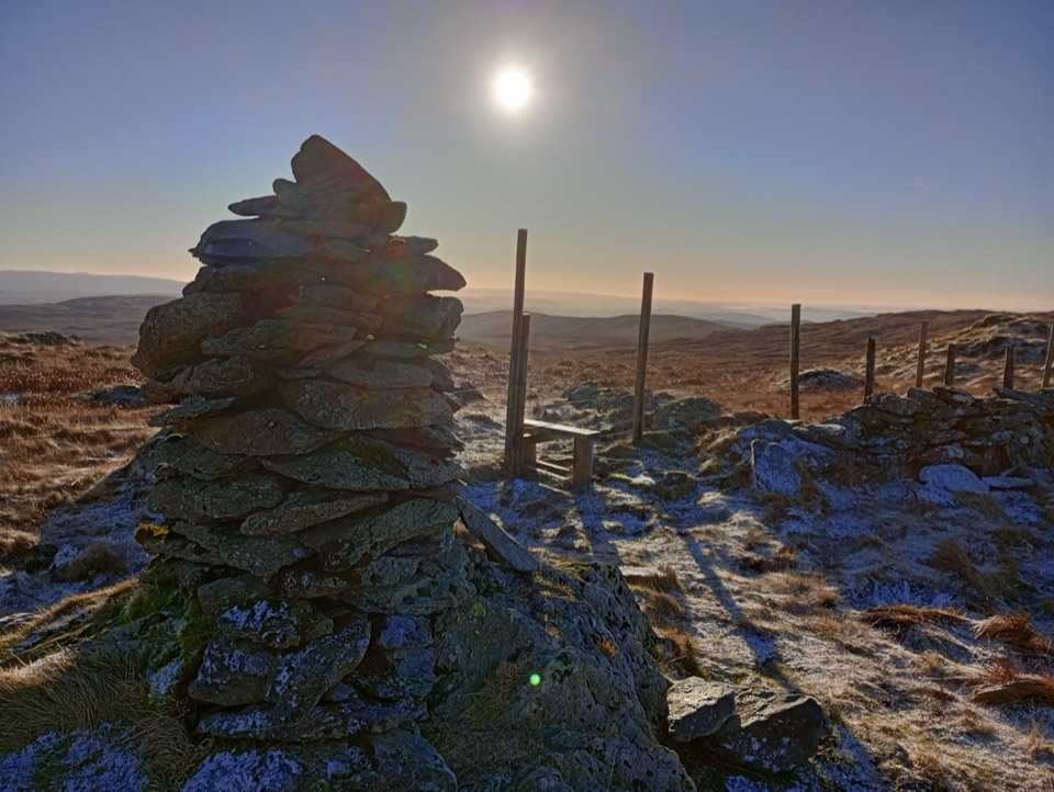
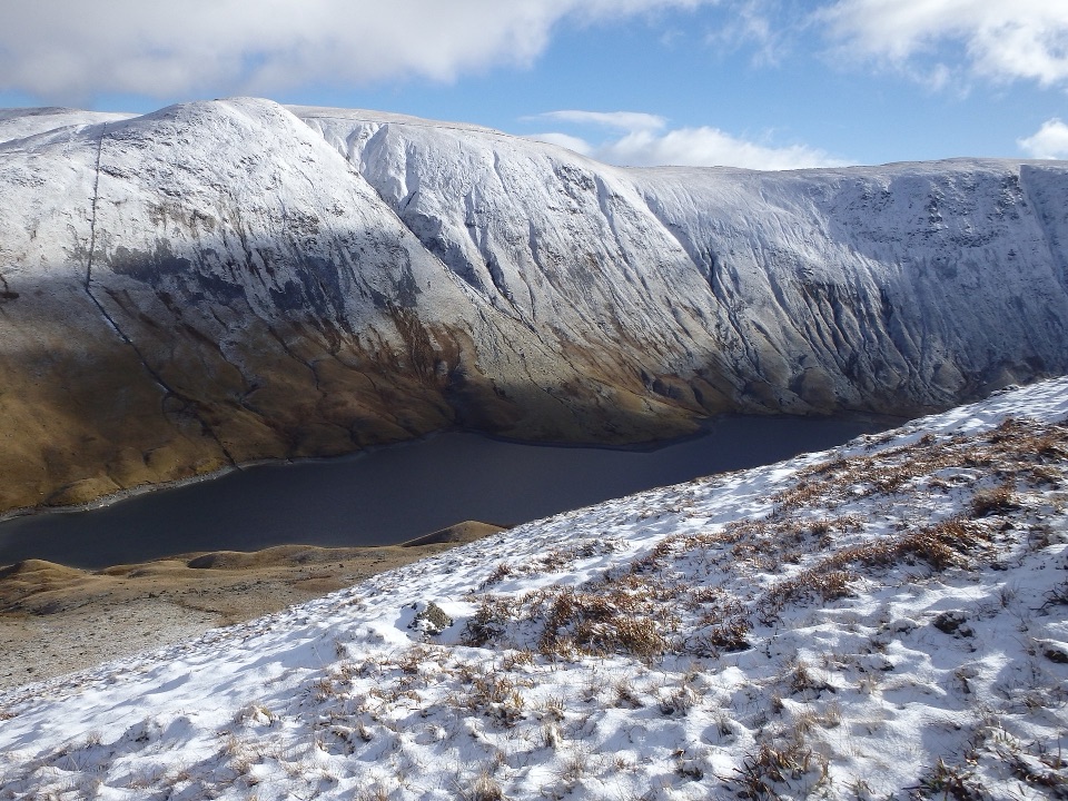
Clear visibility matters. An early start gives you more margin and calmer light on Haweswater and around Small Water. Late spring through autumn often gives the easiest ground, but high ground can hold snow or ice outside summer. For photographs, the lower shore and tarns work well in early light, while the high ridges are strongest when side-lit. If you want a shorter, more focused outing, the Rough Crag and High Street out-and-back is a different route with less remote mileage.

DogsDogs may use the public route, but this is a poor choice for an inexperienced dog.

Dogs may use the public route, but this is a poor choice for an inexperienced dog. Keep dogs under close control and on a short lead near livestock, and use a lead of no more than two metres from 1 March to 31 July. The rocky ground, long distance and exposed high sections are hard on many dogs.

Wildlife

Wildlife in Lake District

All Lake District wildlife maps

Sighting maps show where each species has been reported across Lake District. Wildlife moves, so no sighting is guaranteed.

Keep exploring

Near High Street from Mardale Head

See it all on the map

Trails that start nearby

Places near the trailhead

Parkwolf’s Lake District ranking

Top-rated trails in Lake District

All 265 trails
  1. 1Scafell Pike via Hollow Stones from WasdaleChallenging · 9 km
  2. 2Helvellyn via Striding Edge and Swirral EdgeChallenging · 12.4 km
  3. 3CatbellsModerate · 6.6 km
  4. 4The Old Man of ConistonChallenging · 9 km
  5. 5Buttermere CircularEasy · 7.6 km
  6. 6The Fairfield HorseshoeChallenging · 17.2 km

Take Parkwolf to Lake District.

The audio tour guide for the drive, plus offline maps, trails, and wildlife heatmaps for when the signal drops.

4.7 from 8,600+ ratings

Download Parkwolf on the App StoreGet Parkwolf on Google Play