Parking
Use the Wasdale Head village green and car park beside the Wasdale Head Inn. Valley parking is very limited; National Trust car parks do not allow overnight parking.
Lake District National Park, EN
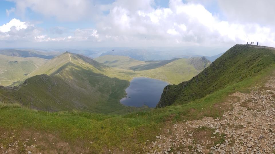
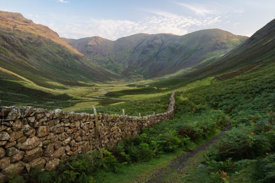
Steep climb through Mosedale crags to an 892 m summit above Ennerdale
Photo: Julian Herzog, CC BY-SA 4.0
Overview
An out-and-back mountain walk of 7.5 miles (12 km) round trip from Wasdale Head through Mosedale to the 892 m summit of Pillar, returning by the same path. The reward for the steep climb is a wide view over Ennerdale and the Scafell massif. Typical time is about 4 hours 30 minutes. Distances here count the full return journey, while the mapped line shows the one-way corridor once, roughly 6.4 km.
Map & elevation
Plan your hike

The highest, rockiest slopes around here are a summer buffet for grizzly bears.
Lake District Tour Guide
Parkwolf is a GPS audio tour guide for Lake District National Park. As you drive, it chimes in with what’s ahead: hidden gems, upcoming stops, history, geology, and wildlife, right through your car’s speakers.
See the Lake District audio tourRecorded for this trailhead
Wasdale Head and Great Gable“You're coming up on Wasdale Head, where you can enjoy the mountains without climbing one. For a short stop, walk toward the inn and packhorse bridge for a taste of Mosedale.”
Plays as you drive up to this trailhead in the Parkwolf Lake District Tour Guide.
More stories near here in the app
“Fantastic app with many points of information… It’s great to just turn on while you’re driving and it gives you an audio tour of the national Park. We love it!!!!”


Trail guide
Start at the Wasdale Head village green and car park and walk towards the Wasdale Head Inn, passing between the Inn and the Barn Door. Continue by the packhorse bridge and Row Head farm along the river, then turn into Mosedale and follow the valley for about 1.7 km. Cross the rocky ford at Gatherstone Beck, climb the zig-zags past Gatherstone Head, and take the pitched path up to Black Sail Pass. At the broken old metal gateway at the top of the pass, turn left for Pillar, cross the saddle below the steep upper section, work up through crags and boulders, then cross the rising plateau to the summit before retracing your steps.
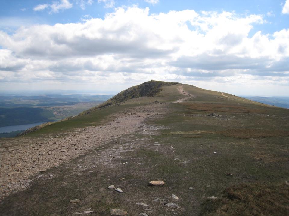
This is a challenging mountain walk with over 800 m of ascent. The route is mostly single-track footpath with pitched sections and steep, rocky ground higher up. The rocky ford can be hazardous when river levels are high, and the upper fell is rough and bouldery underfoot.
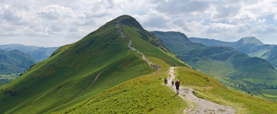
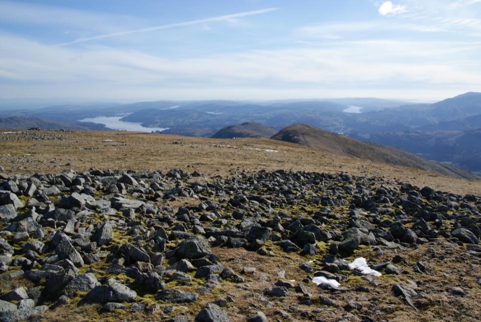
Mosedale sets the tone with becks, dry-stone walls and open fell. From the top the views open out broadly over Ennerdale and the Scafell massif.
The upper ground is open and rocky, and poor visibility makes mountain navigation noticeably harder. Keep track of your position on the climb from Black Sail Pass so you can follow the same line back down.
Wildlife
 84 sightingsRed DeerMost seen around 7 PMSighting map
 13 sightingsEurasian OtterMost seen around 6 AMSighting map
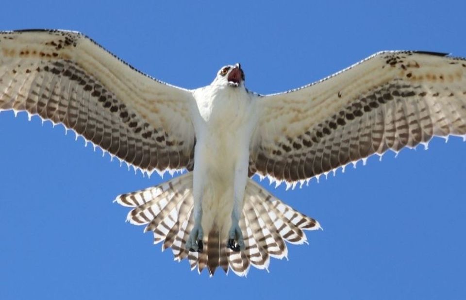 76 sightingsOspreyMost seen around 8 AMSighting map
 52 sightingsEuropean BadgerMost seen around 8 PMSighting map
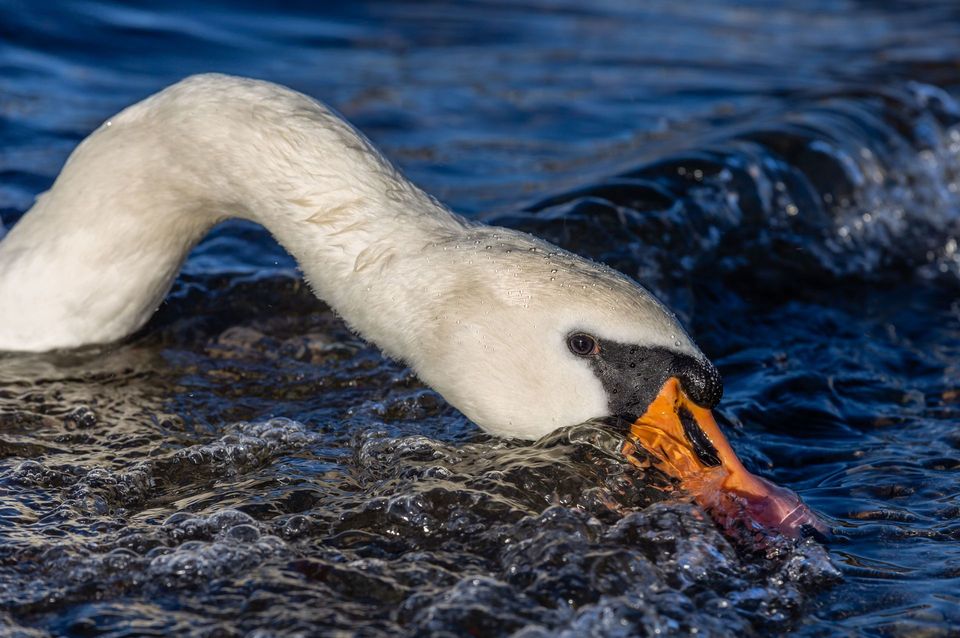 235 sightingsMute SwanMost seen around 6 PMSighting map
 185 sightingsGrey HeronMost seen around 7 AMSighting map
Sighting maps show where each species has been reported across Lake District. Wildlife moves, so no sighting is guaranteed.
Keep exploring
ChallengingMosedale Horseshoe17.4 km · 8 hr · At the trailheadA hard 10.8 mile ridge loop over Pillar, Steeple and Red Pike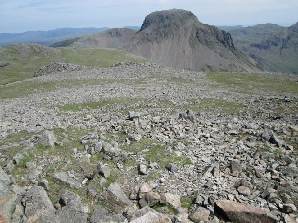 ChallengingKirk Fell and Great Gable13 km · 6.5 hr · At the trailheadTwo big Wasdale summits linked by a loose scree gully and boulders
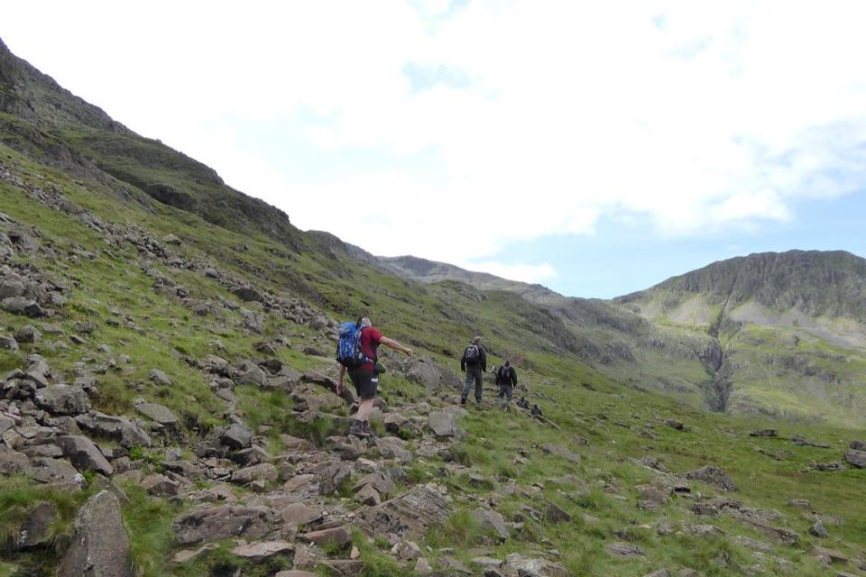 ChallengingScafell Pike via the Corridor Route from Wasdale12.2 km · 6 hr · 0.1 km awayA high traverse to Scafell Pike above Piers Gill
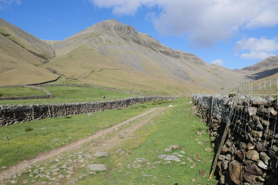 ChallengingGreat Gable from Wasdale Head9.6 km · 4.5 hr · 0.3 km awaySteep, bouldery fell loop to a rocky summit high above Wasdale
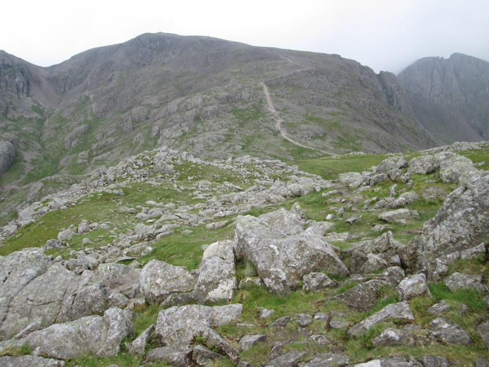 ChallengingScafell Pike via Hollow Stones from Wasdale9 km · 5 hr · 1.1 km awayEngland’s highest summit by a direct, bouldery Wasdale climb
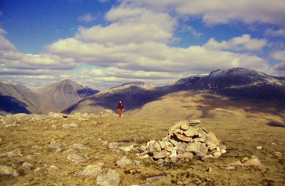 ChallengingIllgill Head and Whin Rigg15.8 km · 5.8 hr · 1.1 km awayA crag-top ridge over Wastwater, with a long road return
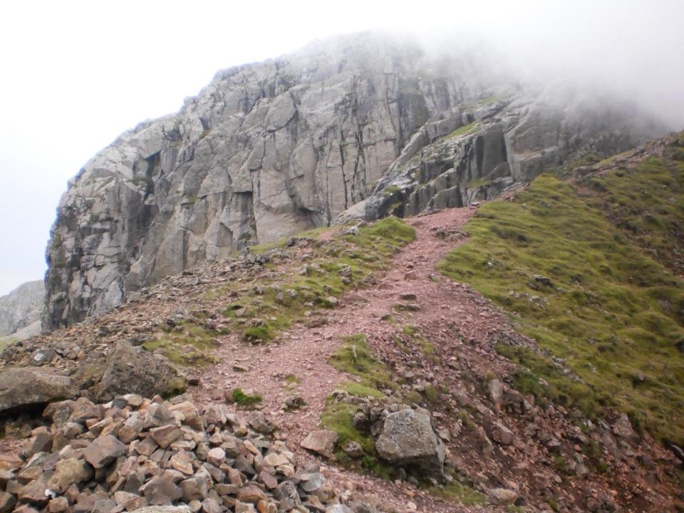 ChallengingScafell Pike via Mickledore8.4 km · 5.5 hr · 1.1 km awayScree, a hands-on gully and boulders to England's highest point
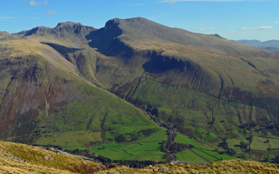 ChallengingYewbarrow Loop6.6 km · 4 hr · 2.5 km awayA steep summit loop with airy crags and big views over Wastwater
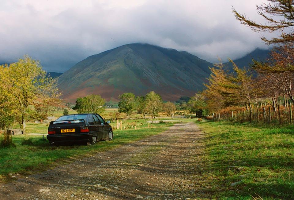 Campground · 1 km awayWasdale CampsiteA riverside base for Scafell Pike and the Wasdale valleySight · 2.9 km awayScafellA rugged high summit with big views over Wastwater and Eskdale
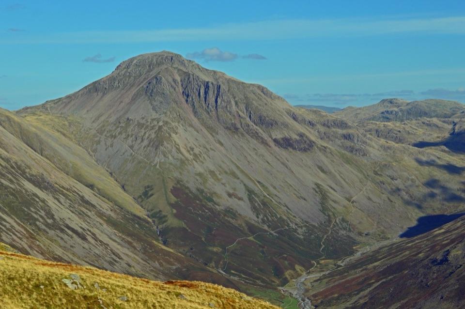 Sight · 3.1 km awayGreat GableA rocky summit with wide views and a storied climbing heritage
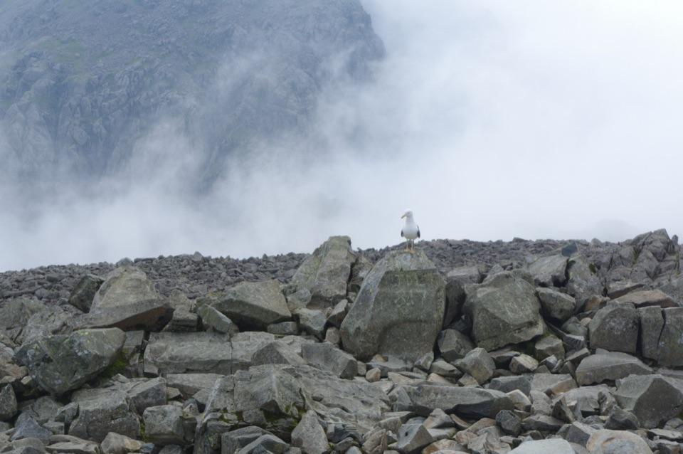 Sight · 3.2 km awayScafell PikeEngland's highest summit, reached over a rough, weathered boulder field
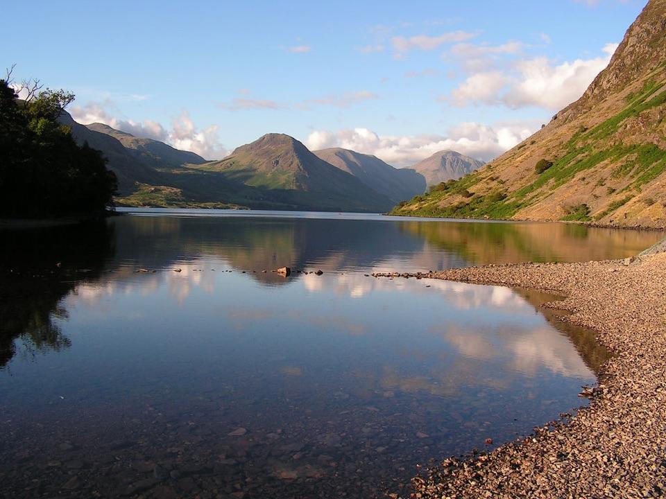 Sight · 3.7 km awayWast WaterThe deepest lake in England, hemmed in by the Wasdale Screes
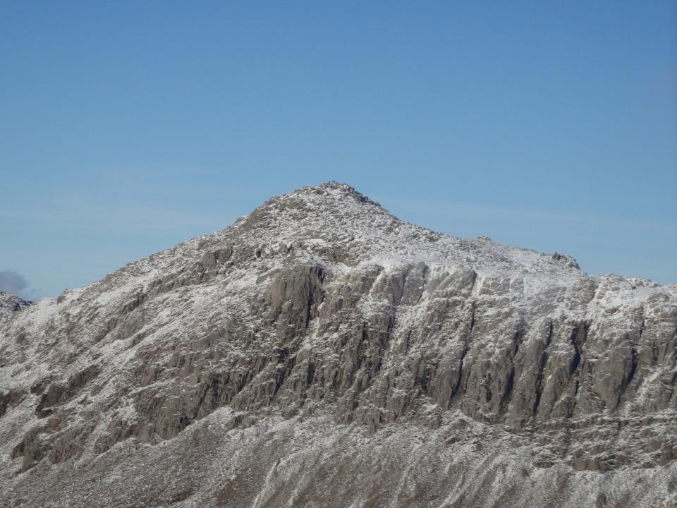 Sight · 6.2 km awayBowfellA rocky summit above Langdale, with the Scafells spread beyond
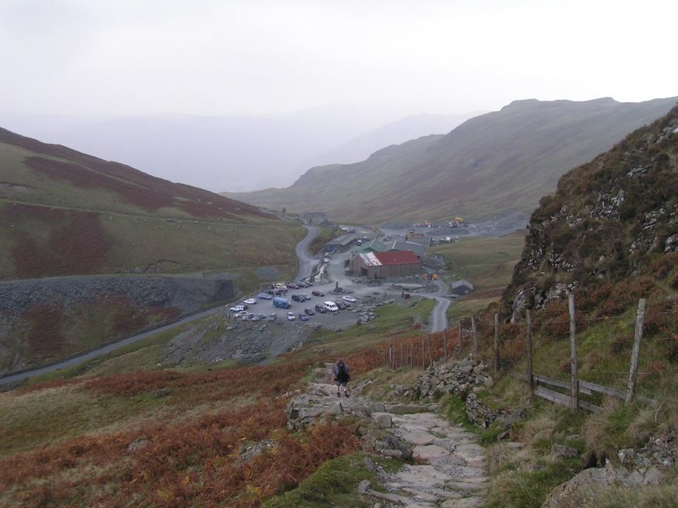 Sight · 6.3 km awayHonister Slate MineExplore England's last working slate mine beneath a mountain pass
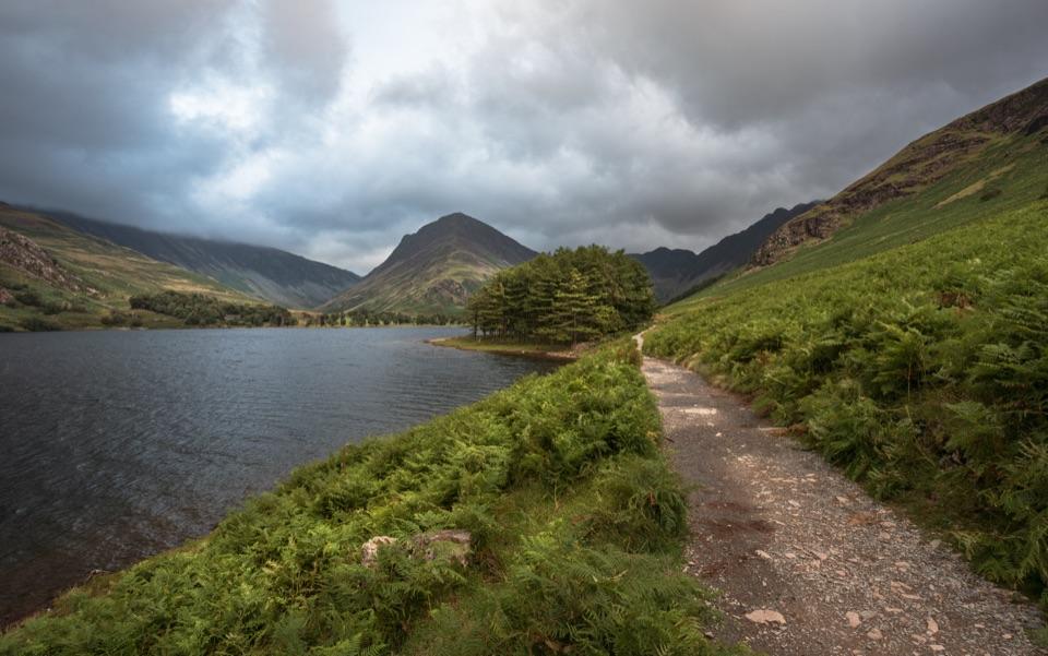 Sight · 7.2 km awayButtermereA calm mountain lake ringed by high fells and an easy circuit
Parkwolf’s Lake District ranking

The audio tour guide for the drive, plus offline maps, trails, and wildlife heatmaps for when the signal drops.