Parking
Use the National Trust Lake Head car park at OS grid NY 182075, at the head of Wastwater. Cross the bridge over Lingmell Gill to start the loop. Parking is paid and overnight parking is not permitted.
Lake District National Park, EN
Crag-edge ridge above England's deepest lake, with a quiet lakeside return
Overview
The crag-edge stretch is why you come. You walk a grassy ridge that drops away in vast slate and rock scree slopes and broken gullies straight into Wastwater, the deepest lake in England, with Wasdale Head and the Western Fells stacked up behind you. The contrast between the soft turf underfoot and the shattered ground below is the whole character of the walk.
 Parkwolf’s verdictThe payoff
Map & elevation
Plan your hike

The highest, rockiest slopes around here are a summer buffet for grizzly bears.
Lake District Tour Guide
Parkwolf is a GPS audio tour guide for Lake District National Park. As you drive, it chimes in with what’s ahead: hidden gems, upcoming stops, history, geology, and wildlife, right through your car’s speakers.
Recorded for this trailhead
Scafell Pike from Lake Head“You’re coming up on Lake Head, the starting point for the direct walk up Scafell Pike. At 978 metres, it’s England’s highest mountain, with views across Wast Water and the surrounding fells when the cloud clears.”
Plays as you drive up to this trailhead in the Parkwolf Lake District Tour Guide.
More stories near here in the app
“Fantastic app with many points of information… It’s great to just turn on while you’re driving and it gives you an audio tour of the national Park. We love it!!!!”


Trail guide
This is a closed circular loop from the head of Wastwater, and the stored distance of 9.8 miles (15.8 km) is the whole circuit, not a one way figure. Expect about 674 m of ascent and, in honest walking terms, 5.5 to 6 hours including stops, stiles and photo time. Faster times exist on paper, but they assume you never pause.
From the Lake Head and Brackenclose access you cross the bridge over Lingmell Gill and take the bridleway through fields, then climb steadily beside a wall onto the broad grassy back of Illgill Head at just over 600 m. From there the path runs south west along the top of the Wastwater Screes, passing small tarns and a run of viewpoints, to Whin Rigg at around 535 m. The descent is steep beside Greathall Gill, then it is field and track work to the River Irt, Lund Bridge and Low Wood, before the road carries you back around the head of the lake to the start.
Treat this as hard. The climb is sustained, the Greathall Gill descent is steep and can feel loose, and the ground in between is rough and boggy in places. Walkers regularly report mud, slippery rock in wet weather and loose stone on the steep sections.
Start from the large National Trust car park at the head of Wastwater, which has a toilet block and welcome centre and serves as the jumping off point for the surrounding fells. Parking here is paid and overnight parking is not permitted. No route-specific permit requirement was established for this walk. Dogs are welcome across Wasdale, but this is working farmland and open fell with ground-nesting wildlife, so carry a lead, keep close control, use a short lead near stock and follow local signs. The cattle fields and stiles on the lower loop are worth thinking about in advance if your dog is not used to them.
If the full circuit is too much for the day, the National Trust's Greendale and Middle Fell walk nearby is a separate route of about 3.5 miles (5.6 km) and gives you Wasdale scenery in a much shorter outing.
Wildlife
 81 sightingsRed DeerMost seen around 7 PMSighting map
 13 sightingsEurasian OtterMost seen around 6 AMSighting map
 76 sightingsOspreyMost seen around 8 AMSighting map
 51 sightingsEuropean BadgerMost seen around 8 PMSighting map
 233 sightingsMute SwanMost seen around 6 PMSighting map
 176 sightingsGrey HeronMost seen around 7 AMSighting map
Sighting maps show where each species has been reported across Lake District. Wildlife moves, so no sighting is guaranteed.
Keep exploring
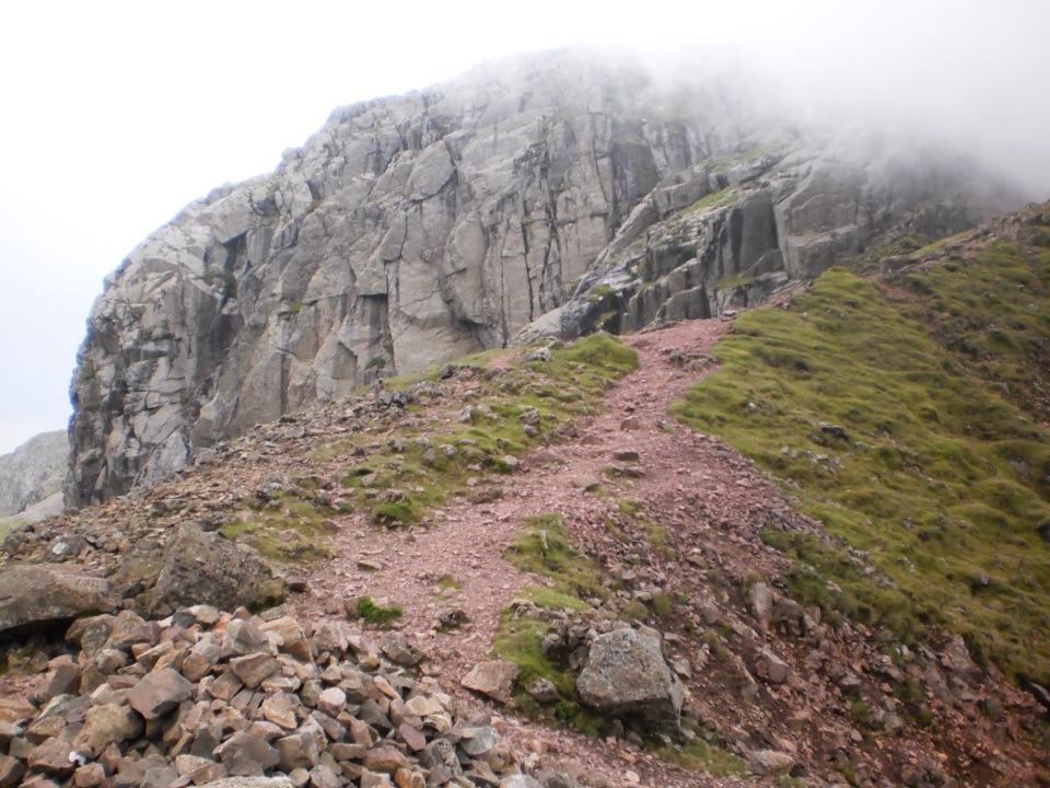 ChallengingScafell Pike via Mickledore8.4 km · 5.5 hr · At the trailheadScree, a hands-on gully and boulders to England's highest point
 ChallengingScafell Pike via Hollow Stones from Wasdale9 km · 5 hr · 0.1 km awayEngland’s highest summit by a direct, bouldery Wasdale climb
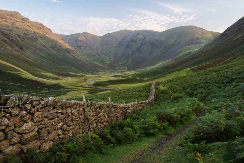 ChallengingPillar Trail from Wasdale Head12.1 km · 4.5 hr · 1.1 km awaySteep climb through Mosedale crags to an 892 m summit above EnnerdaleChallengingMosedale Horseshoe17.4 km · 8 hr · 1.1 km awayA hard 10.8 mile ridge loop over Pillar, Steeple and Red Pike
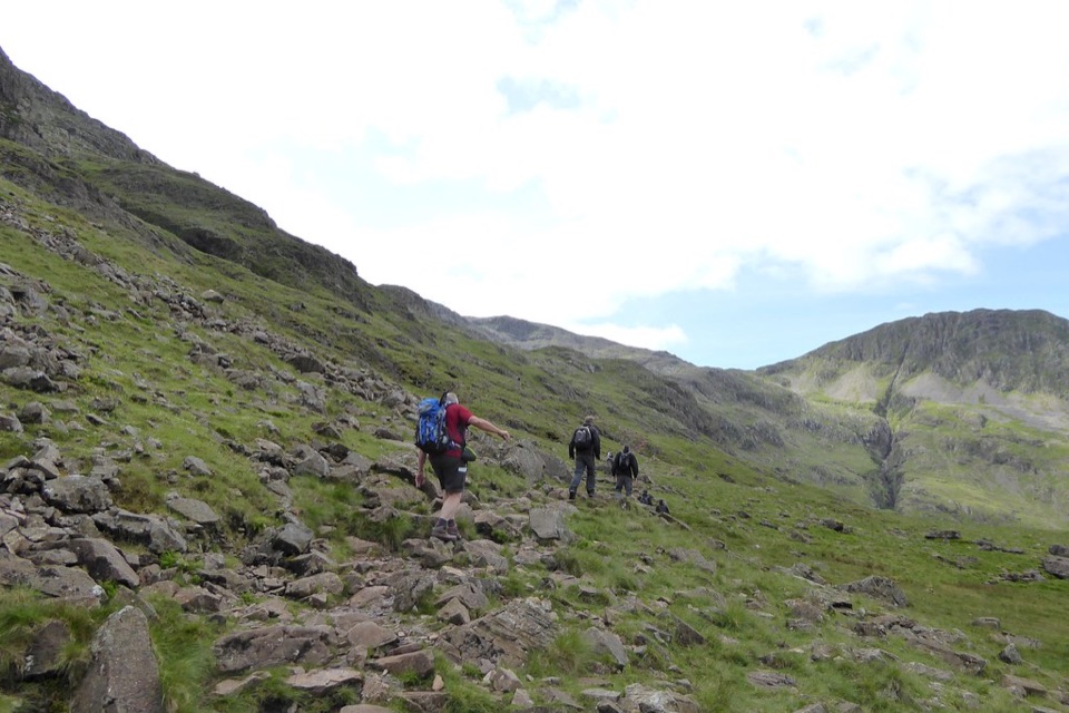 ChallengingScafell Pike via the Corridor Route from Wasdale12.2 km · 6 hr · 1.1 km awayQuiet high traverse up, boulder summit, fast Hollow Stones descent
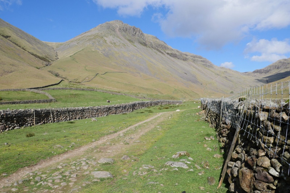 ChallengingGreat Gable from Wasdale Head9.6 km · 4.5 hr · 1.4 km awaySteep, bouldery fell loop to a rocky summit high above Wasdale
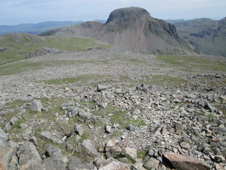 ChallengingKirk Fell and Great Gable13.2 km · 6.5 hr · 1.4 km awayTwo big Wasdale summits linked by a loose scree gully and boulders
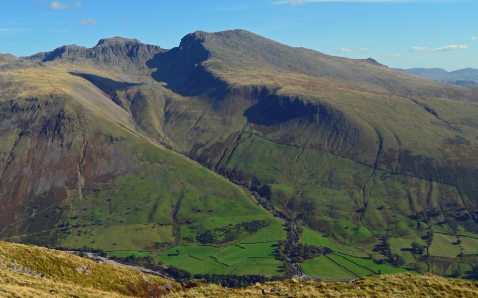 ChallengingYewbarrow Loop6.6 km · 4 hr · 1.6 km awayA steep summit loop with airy crags and big views over Wastwater
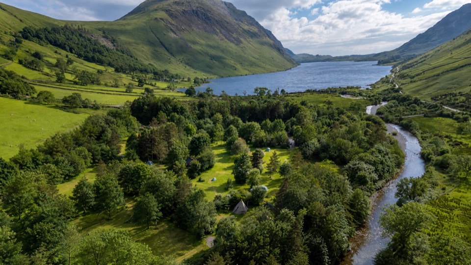 Campground · 0.1 km awayWasdale CampsiteA riverside base for Scafell Pike and the Wasdale valleySight · 2.6 km awayScafellA rugged high summit with big views over Wastwater and Eskdale
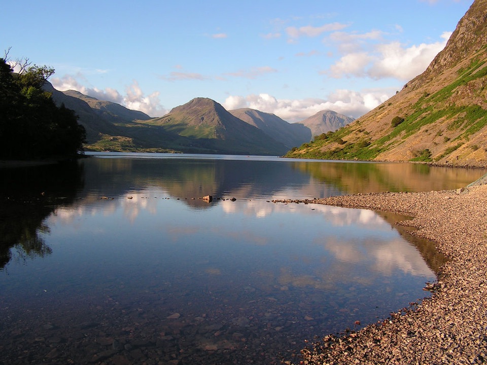 Sight · 2.7 km awayWast WaterThe deepest lake in England, hemmed in by the Wasdale Screes
 Sight · 3.3 km awayScafell PikeEngland's highest summit, reached over a rough, weathered boulder field
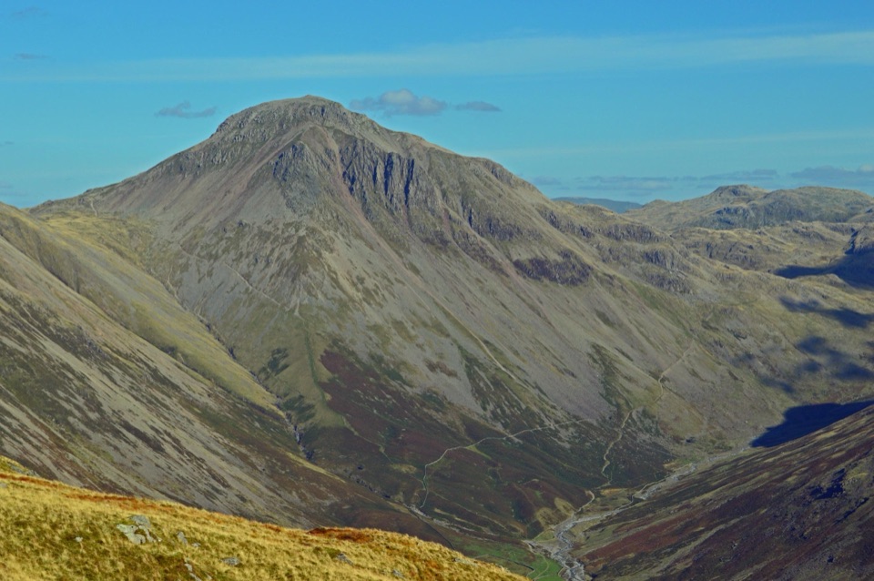 Sight · 4 km awayGreat GableA rocky summit with wide views and a storied climbing heritage
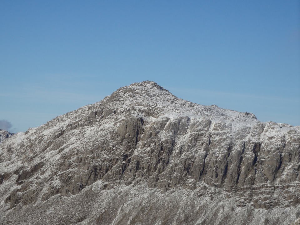 Sight · 6.2 km awayBowfellA rocky summit above Langdale, with the Scafells spread beyond
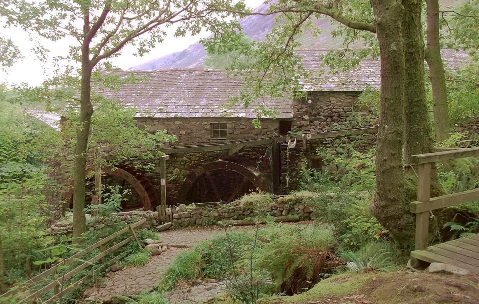 Sight · 6.3 km awayEskdale MillTwo working waterwheels bring 500 years of milling to life
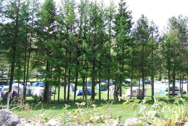 Campground · 6.4 km awayEskdale CampsiteRiverside camping below Hardknott Pass, with fells on the doorstep
Parkwolf’s Lake District ranking
The audio tour guide for the drive, plus offline maps, trails, and wildlife heatmaps for when the signal drops.




