Parking
Use the National Trust Tarn Hows Car Park, signposted from the B5285 near Coniston. It has limited spaces and can fill at peak holiday times; toilets and a cafe are available at the start.
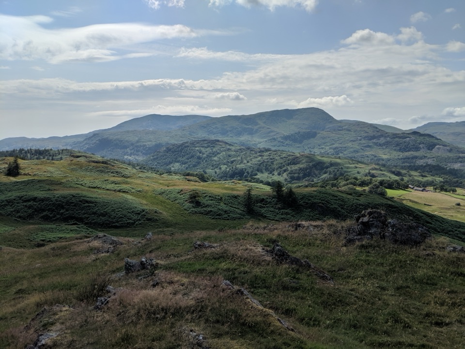
Lake District National Park, EN
Two fells, a flooded quarry, a waterfall and two tarns
Overview
This is a full circular of 8.1 miles (13.1 km), a complete loop starting and finishing at the National Trust Tarn Hows car park, with around 562 m of ascent and about 5 hours of walking for most people. In that distance you take in two modest fells, a flooded slate quarry, two sheets of water and a waterfall, which is a lot of variety for one day out.
Map & elevation
Plan your hike

The highest, rockiest slopes around here are a summer buffet for grizzly bears.
Lake District Tour Guide
Parkwolf is a GPS audio tour guide for Lake District National Park. As you drive, it chimes in with what’s ahead: hidden gems, upcoming stops, history, geology, and wildlife, right through your car’s speakers.
Recorded for this trailhead
Tarn Hows: Lakeside or Fell Walk“You're coming up on Tarn Hows, a good choice for a gentle walk with water, woodland and fell views close together. Wooded islands break up the tarn, with the Coniston hills rising beyond the trees.”
Plays as you drive up to this trailhead in the Parkwolf Lake District Tour Guide.
More stories near here in the app
“Fantastic app with many points of information… It’s great to just turn on while you’re driving and it gives you an audio tour of the national Park. We love it!!!!”


Trail guide
You start on the lakeside path around Tarn Hows, then head away through Iron Keld and climb Black Fell to its trig point and cairn. The descent goes by Low Arnside to the busy A593 between Ambleside and Coniston, then on via High Oxen to the Hodge Close quarry parking area. From there the route climbs Holme Fell, with Ivy Crag alongside, before dropping through Uskdale Gap and Harty Guards Wood to Yew Tree Tarn. A short stretch of road near Tom Gill car park puts you on the path up beside Tom Gill and its waterfall, back to Tarn Hows and the car park. The payoff is the contrast: the designed woodland landscape at the start and finish, broad views from Black Fell, then the drama of the quarry and the craggy little tops of Holme Fell and Ivy Crag.
Call it moderate but demanding, about 6 out of 10. Nothing is technical, but the ascent adds up across separate climbs and the ground is rough in places. Expect soft and boggy sections along with steep pitches, particularly on the descents.
Two things deserve real attention. The route crosses the busy Ambleside to Coniston road twice, so take both crossings carefully and keep any group together. At Hodge Close the quarry has unprotected precipitous drops straight into deep water, so stay well back from the edge and keep children and dogs under close control.
Wayfinding needs basic map-reading. The line is vague in places, especially around the fields, at Uskdale Gap and in Harty Guards Wood, so carry a map and keep track of where you are rather than trusting a worn path.
The car park has limited space and gets busy at peak holiday times, so arriving early gives you the best chance of a space. There are toilets and a cafe at the start, which makes it a comfortable base for a long day.
Near the Black Crag section you can see exposed volcanic rock of the Ordovician Lincomb Tarn formation. Red squirrels and pine martens have been reported in the wider area, so it is worth walking quietly through the woodland, though neither is a reliable sighting on this particular loop. Dogs are allowed but must be kept on leads, since you can meet livestock along the way.
There is a much shorter circular of roughly 2 miles around Tarn Hows itself, which gives you the water and woodland without the fells, the quarry or the road crossings. It is the sensible fallback if the group has mixed appetite for hills.
Wildlife
 81 sightingsRed DeerMost seen around 7 PMSighting map
 13 sightingsEurasian OtterMost seen around 6 AMSighting map
 76 sightingsOspreyMost seen around 8 AMSighting map
 51 sightingsEuropean BadgerMost seen around 8 PMSighting map
 233 sightingsMute SwanMost seen around 6 PMSighting map
 176 sightingsGrey HeronMost seen around 7 AMSighting map
Sighting maps show where each species has been reported across Lake District. Wildlife moves, so no sighting is guaranteed.
Keep exploring
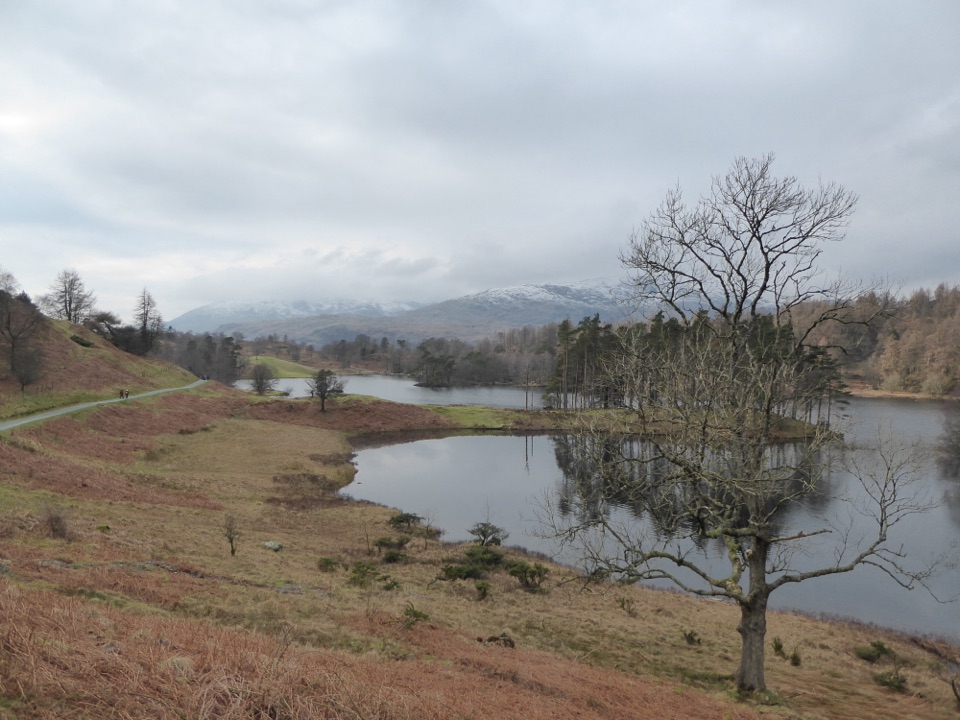 EasyTarn Hows Circular Walk3.2 km · 1 hr · At the trailheadWide gravel loop around a landscaped tarn beneath grazed fells
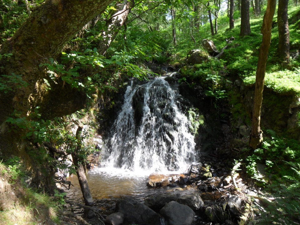 ChallengingTom Gill to Tarn Hows Walk2.6 km · 1.3 hr · 0.6 km awayScramble beside waterfalls to a Victorian tarn on a steep 1.6-mile loop
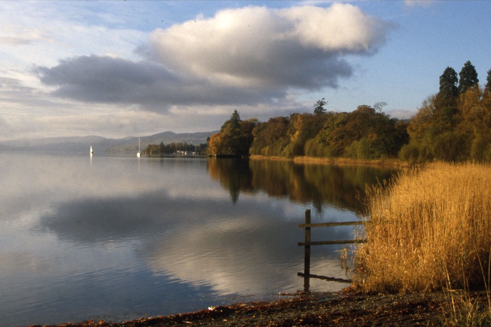 EasyMonk Coniston3.7 km · 1.5 hr · 2.2 km awayAn accessible lakeside link with big Coniston Water and fell views
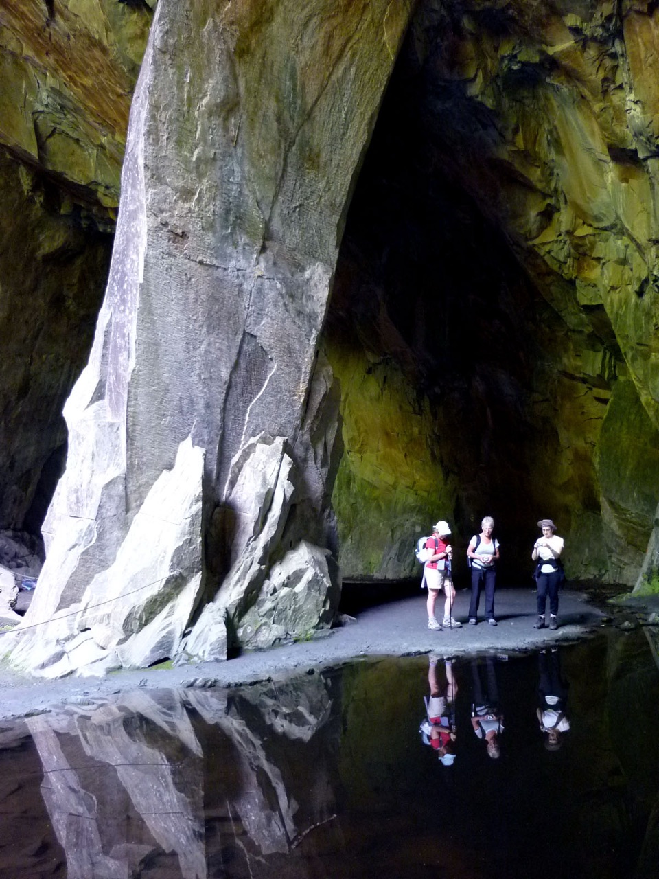 ModerateCathedral Cavern from Tilberthwaite6.1 km · 3 hr · 2.5 km awaySlate tunnels, a 40ft quarry chamber, and Slater's Bridge on one loop
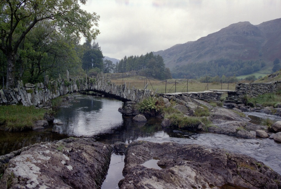 EasyHigh Tilberthwaite to Little Langdale Ford and Slater Bridge5.9 km · 2 hr · 2.5 km awayAn old quarry track to a river ford and historic Slater Bridge
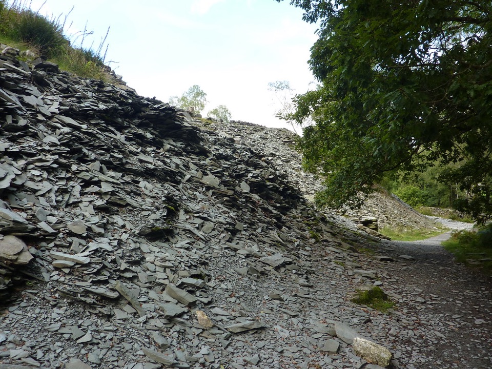 EasyElterwater Trail10 km · 3.5 hr · 2.7 km awaySlate country crossing from Coniston to Elterwater via Slater's Bridge
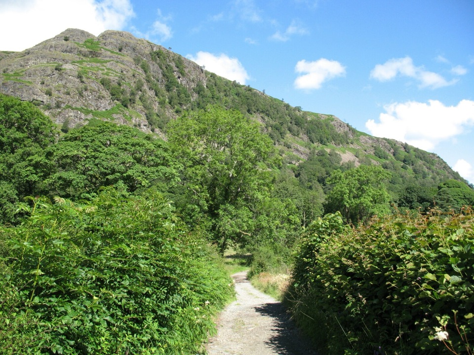 EasyYewdale Bridleway4.8 km · 1.3 hr · 2.7 km awayStone track under rocky fells, oak woods and a timber footbridge
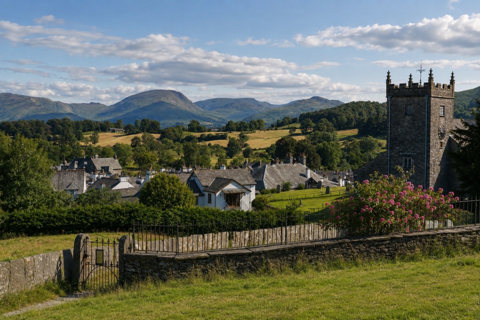 EasyHawkshead to Loanthwaite Lane2 km · 1 hr · 2.9 km awayEasy stone tracks and hedged lanes through meadows north of Hawkshead
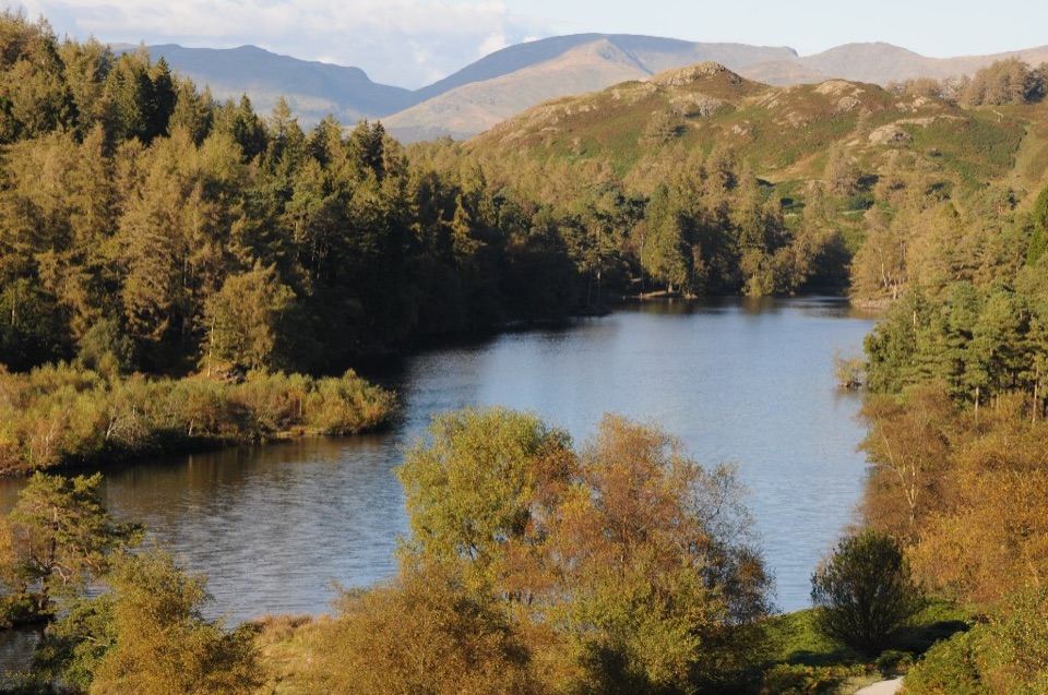 Sight · At the trailheadTarn HowsA wooded mountain tarn with an easy loop and fell views
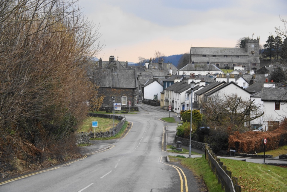 Sight · 2.9 km awayHawksheadCobbled lanes, white cottages, and a church above old market squares
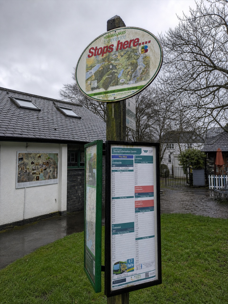 Visitor center · 3 km awayHawkshead Information CentreYour base for Hawkshead walks, bikes, and onward routes
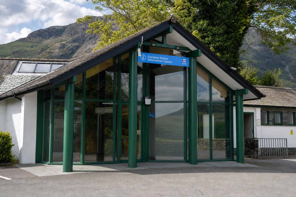 Visitor center · 3 km awayConiston Information CentreA practical base for maps, walks, and local Coniston advice
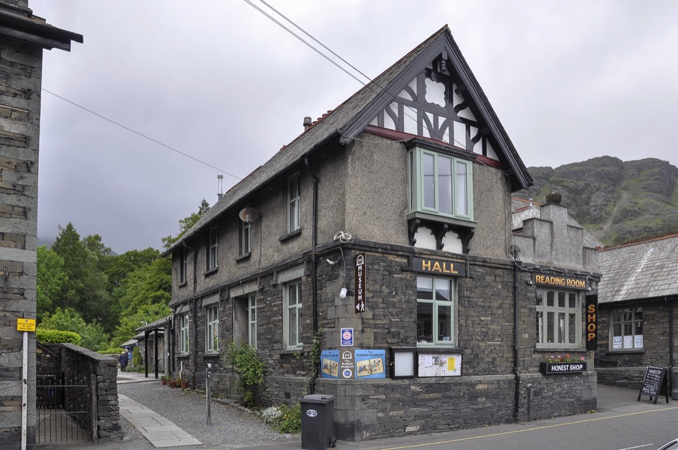 Sight · 3 km awayThe Ruskin MuseumBluebird K7 anchors a rich story of Coniston, copper, and culture
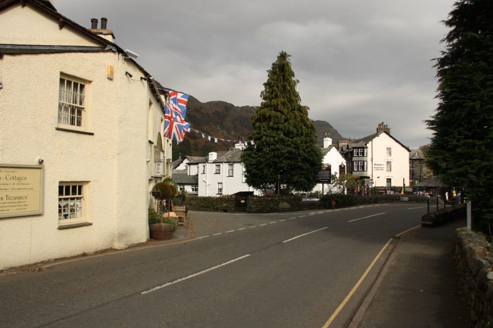 Sight · 3.1 km awayConiston VillageA characterful village base beneath the Old Man of Coniston
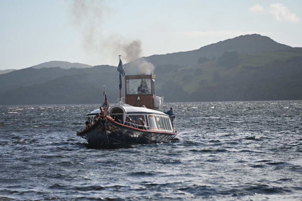 Sight · 3.2 km awaySteam Yacht GondolaA Victorian steam yacht gliding beneath Coniston's fells
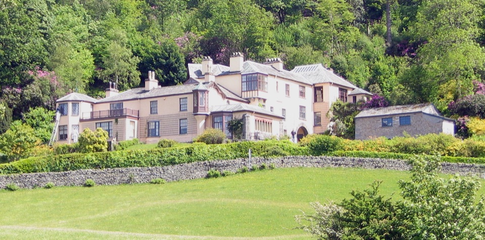 Sight · 3.9 km awayBrantwoodRuskin's house, winding gardens, and a big Coniston Water view
Parkwolf’s Lake District ranking

The audio tour guide for the drive, plus offline maps, trails, and wildlife heatmaps for when the signal drops.





