Parking
Start at Monk Coniston Car Park, grid reference SD 316 978, on the north shore of Coniston Water. The route leaves from the lakeside side of the lot. Because the walk is linear, return on foot or arrange transport from the Coniston end.
Lake District National Park, EN
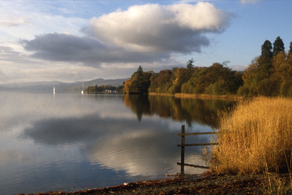
An accessible lakeside link with big Coniston Water and fell views
Overview
Map & elevation
Plan your hike

The highest, rockiest slopes around here are a summer buffet for grizzly bears.
Lake District Tour Guide
Parkwolf is a GPS audio tour guide for Lake District National Park. As you drive, it chimes in with what’s ahead: hidden gems, upcoming stops, history, geology, and wildlife, right through your car’s speakers.
Recorded for this trailhead
Monk Coniston: A Gentle Lakeside Walk“You're getting close to Monk Coniston, where a level lakeside walk offers an easy way to enjoy Coniston Water on foot.”
Plays as you drive up to this trailhead in the Parkwolf Lake District Tour Guide.
More stories near here in the app
“Fantastic app with many points of information… It’s great to just turn on while you’re driving and it gives you an audio tour of the national Park. We love it!!!!”


Trail guide
This is a linear, 2.27-mile one-way walk between the lakeshore at Monk Coniston and Coniston village. The stored distance is one way, not a loop or round trip. Plan to retrace the route or arrange transport if you do not want to walk back.
The route starts beside Coniston Water, follows a compacted path, then uses pavements and a few short roadside sections as it approaches the village. Expect changing views across the lake, wooded shore, boats, and the Coniston fells, with the Old Man of Coniston providing the main mountain backdrop. The payoff is the landscape and the easy connection into the village, not a summit or a remote fell experience.
Wildlife
 81 sightingsRed DeerMost seen around 7 PMSighting map
 13 sightingsEurasian OtterMost seen around 6 AMSighting map
 76 sightingsOspreyMost seen around 8 AMSighting map
 51 sightingsEuropean BadgerMost seen around 8 PMSighting map
 233 sightingsMute SwanMost seen around 6 PMSighting map
 176 sightingsGrey HeronMost seen around 7 AMSighting map
Sighting maps show where each species has been reported across Lake District. Wildlife moves, so no sighting is guaranteed.
Keep exploring
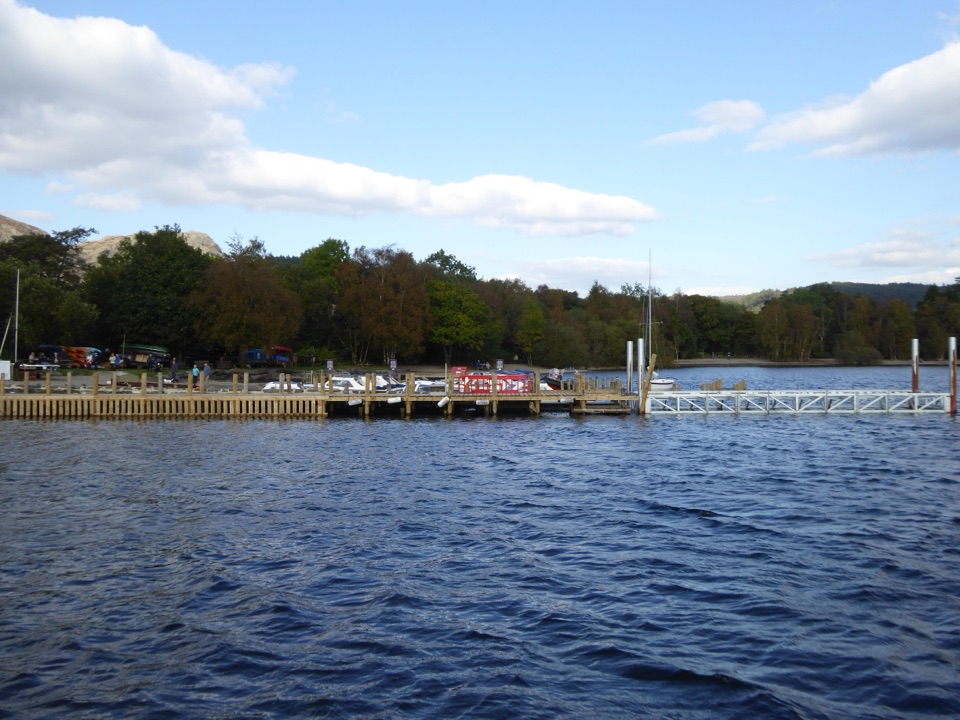 EasyMiners' Lives3.2 km · 1 hr · 1 km awayShort lakeside village loop through Coniston's copper-mining past
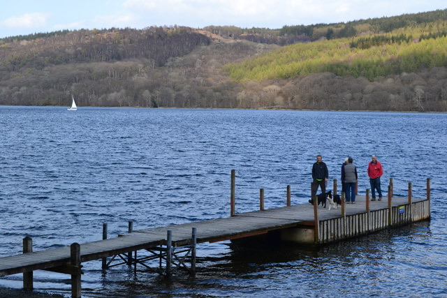 EasyConiston to Torver Jetty3.5 km · 1.8 hr · 1 km awaySmooth lakeshore path south to Torver jetty, with Old Man views
 ChallengingThe Old Man of Coniston9 km · 4 hr · 1.2 km awaySteep mine tracks and stone zigzags to an 803 m summit loop
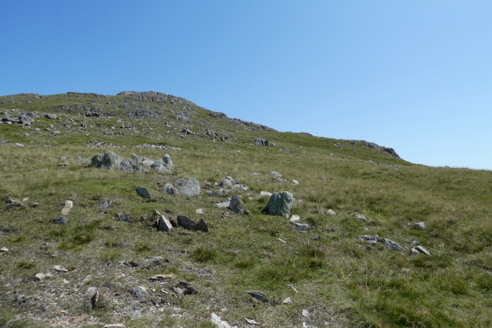 ChallengingWetherlam via Lad Stones Ridge and Black Sails12.2 km · 5.5 hr · 1.3 km awayRocky ridges, a Wainwright summit, and copper-mine relics above Coniston
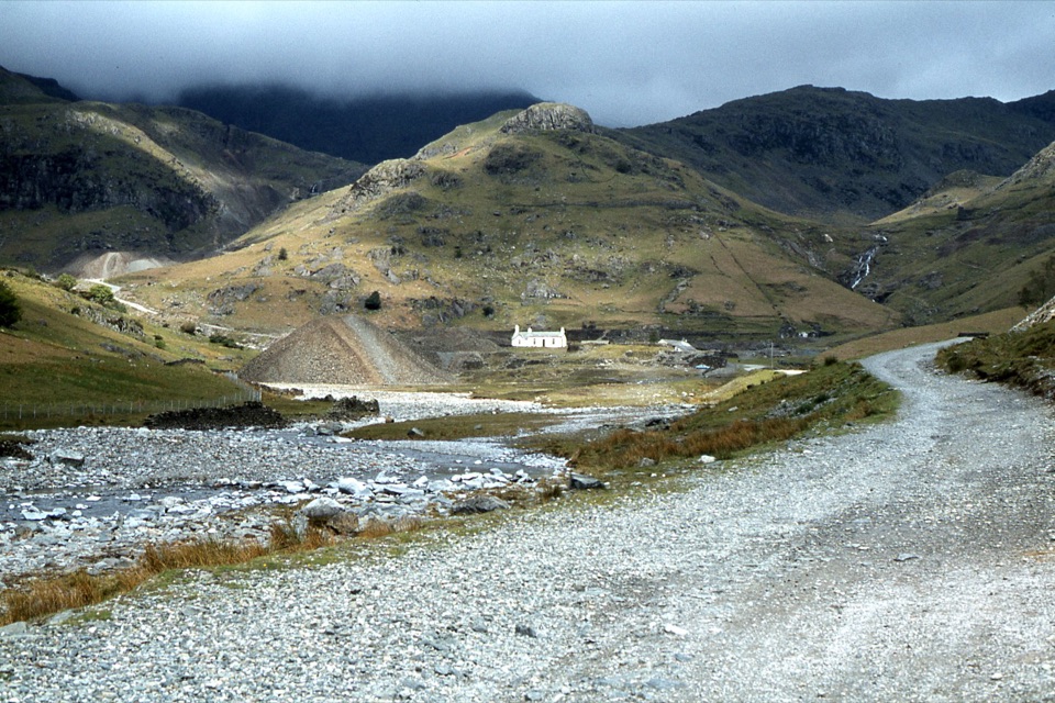 EasyIntroducing Coppermines Valley4 km · 2 hr · 1.3 km awayClimb past miners' cottages and slag heaps into a copper mining valley
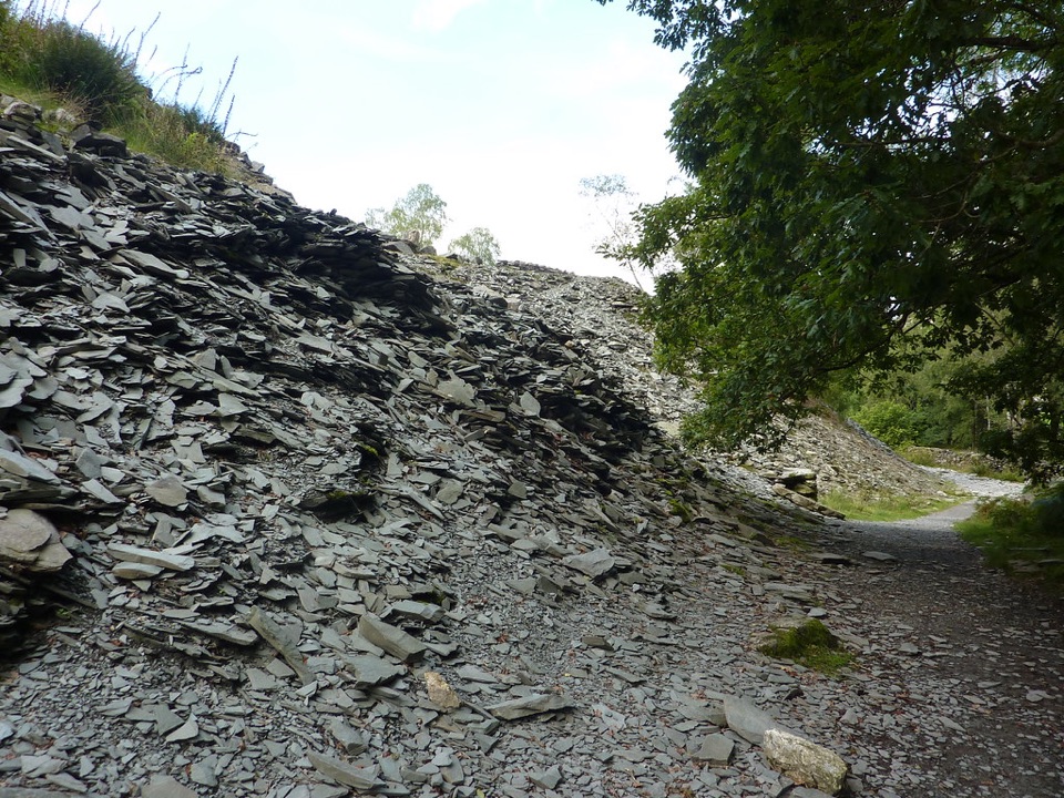 EasyElterwater Trail10 km · 3.5 hr · 1.3 km awaySlate country crossing from Coniston to Elterwater via Slater's Bridge
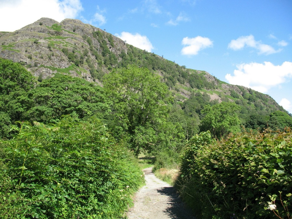 EasyYewdale Bridleway4.8 km · 1.3 hr · 1.3 km awayStone track under rocky fells, oak woods and a timber footbridge
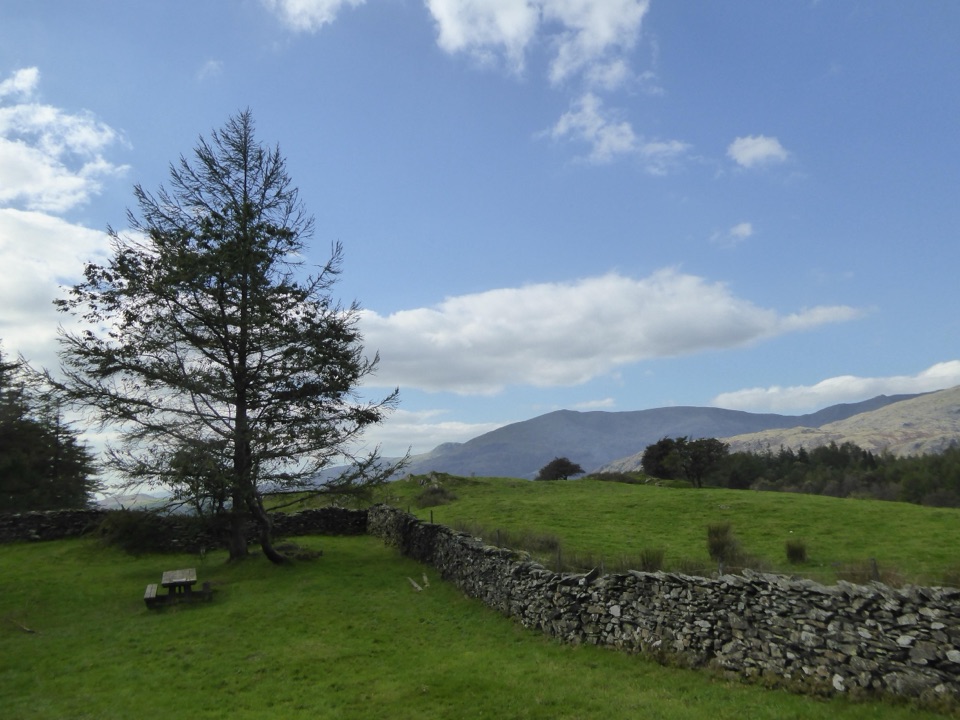 EasyConiston to High Cross4.5 km · 2 hr · 1.4 km awayClimb gravel bridleways from Coniston village to the High Cross viewpoint
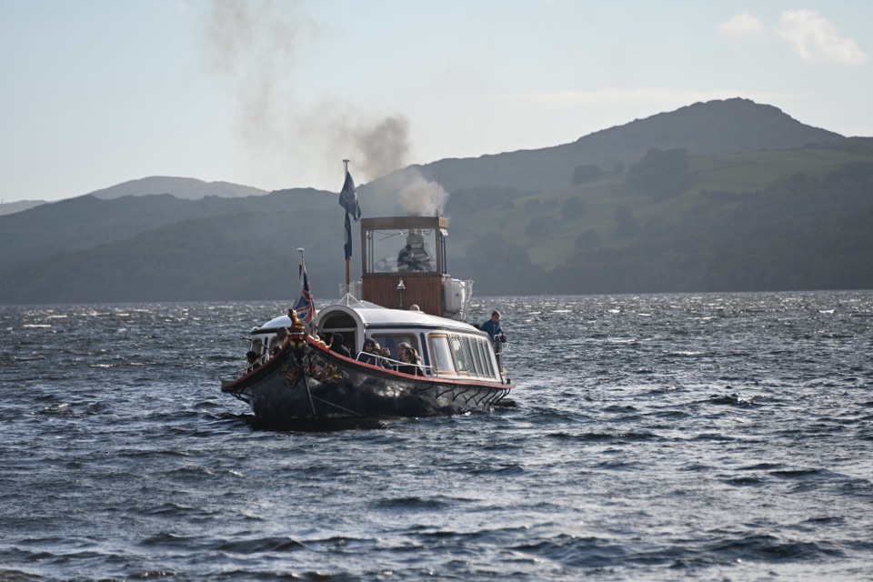 Sight · 1 km awaySteam Yacht GondolaA Victorian steam yacht gliding beneath Coniston's fells
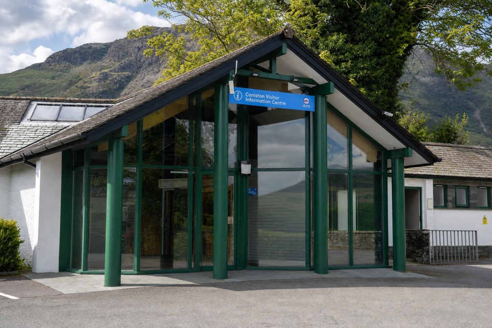 Visitor center · 1.3 km awayConiston Information CentreA practical base for maps, walks, and local Coniston advice
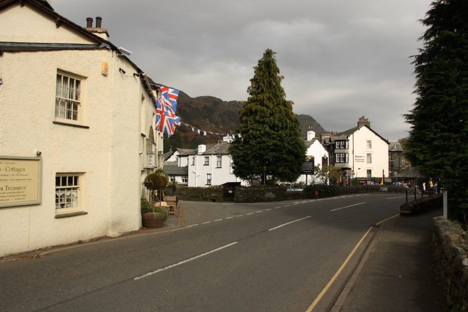 Sight · 1.4 km awayConiston VillageA characterful village base beneath the Old Man of Coniston
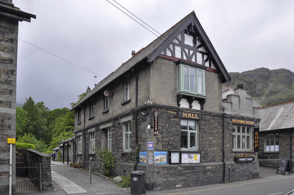 Sight · 1.4 km awayThe Ruskin MuseumBluebird K7 anchors a rich story of Coniston, copper, and culture
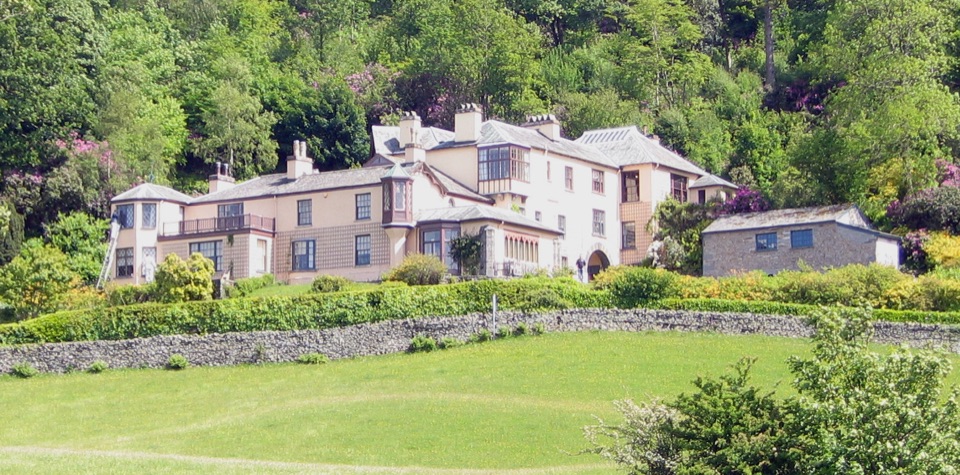 Sight · 1.8 km awayBrantwoodRuskin's house, winding gardens, and a big Coniston Water view
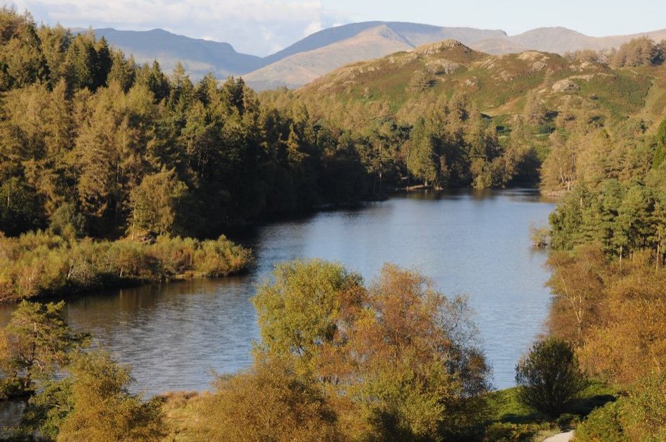 Sight · 2.1 km awayTarn HowsA wooded mountain tarn with an easy loop and fell views
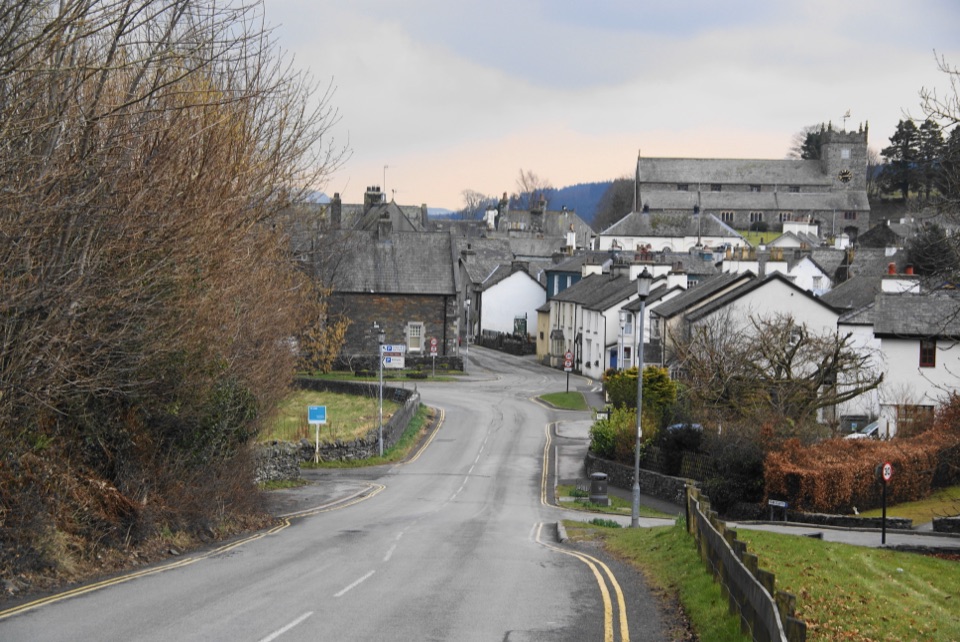 Sight · 3.7 km awayHawksheadCobbled lanes, white cottages, and a church above old market squares
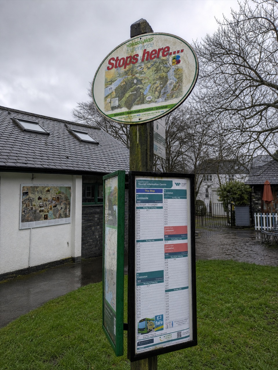 Visitor center · 3.7 km awayHawkshead Information CentreYour base for Hawkshead walks, bikes, and onward routes
Parkwolf’s Lake District ranking

The audio tour guide for the drive, plus offline maps, trails, and wildlife heatmaps for when the signal drops.




