Parking
Use Tilberthwaite car park, reached by turning from the A593 onto the minor road signposted Tilberthwaite and continuing about 1.5 km. There are no buses to the start, and there are no facilities on the route.
Lake District National Park, EN
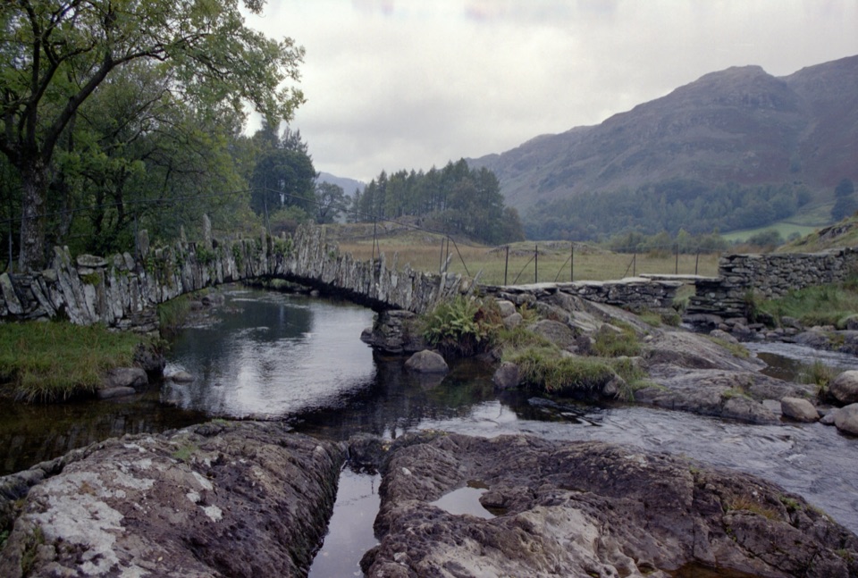
An old quarry track to a river ford and historic Slater Bridge
Overview
Map & elevation
Plan your hike

The highest, rockiest slopes around here are a summer buffet for grizzly bears.
Lake District Tour Guide
Parkwolf is a GPS audio tour guide for Lake District National Park. As you drive, it chimes in with what’s ahead: hidden gems, upcoming stops, history, geology, and wildlife, right through your car’s speakers.
Recorded for this trailhead
Tilberthwaite: Cathedral Cavern or Slater’s Bridge“You're coming up to Tilberthwaite, the starting point for a walk to Cathedral Cavern and Slater's Bridge.”
Plays as you drive up to this trailhead in the Parkwolf Lake District Tour Guide.
More stories near here in the app
“Fantastic app with many points of information… It’s great to just turn on while you’re driving and it gives you an audio tour of the national Park. We love it!!!!”


Trail guide
This is a 3.64-mile out-and-back, measured as the complete return from Tilberthwaite car park to Little Langdale Ford and Slater Bridge. The physical route is about 2.92 km each way. It starts on the tarmac road to High Tilberthwaite Farm, then follows a rising track between old slate quarries before descending through a wooded section. Stay left at the junction signposted away from the quarry track, continue north to the River Brathay ford, then turn left along the old quarry road for the final stretch to Slater Bridge.
The reward is the landscape's industrial history rather than a summit or a single dramatic viewpoint. Spoil heaps, quarry workings, drystone walls and old tracks make the middle of the route feel unusually connected to the valley's slate-mining past. At the end, the route reaches the river and the small, distinctive 17th-century packhorse bridge, with wooded slopes and open fell scenery around it. The ford and bridge are the best photography stops, especially when the water is bright and the surrounding hills are clear.
Use the route for its quiet history and variety, not for a strenuous fell day. Dogs are allowed, but this is working countryside: keep them on a lead or under close control around livestock, the farmyard and other users. There are no facilities on the route. The old quarry road and surrounding fells offer the best broad views; the bridge itself is the natural turnaround point.
Wildlife
 81 sightingsRed DeerMost seen around 7 PMSighting map
 13 sightingsEurasian OtterMost seen around 6 AMSighting map
 76 sightingsOspreyMost seen around 8 AMSighting map
 51 sightingsEuropean BadgerMost seen around 8 PMSighting map
 233 sightingsMute SwanMost seen around 6 PMSighting map
 176 sightingsGrey HeronMost seen around 7 AMSighting map
Sighting maps show where each species has been reported across Lake District. Wildlife moves, so no sighting is guaranteed.
Keep exploring
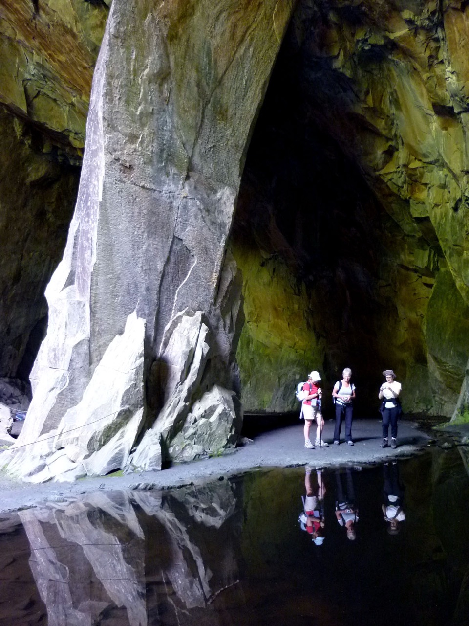 ModerateCathedral Cavern from Tilberthwaite6.1 km · 3 hr · At the trailheadSlate tunnels, a 40ft quarry chamber, and Slater's Bridge on one loop
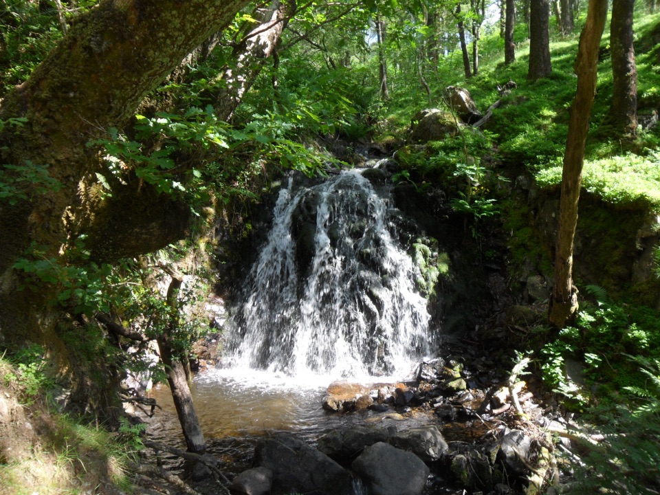 ChallengingTom Gill to Tarn Hows Walk2.6 km · 1.3 hr · 1.9 km awayScramble beside waterfalls to a Victorian tarn on a steep 1.6-mile loop
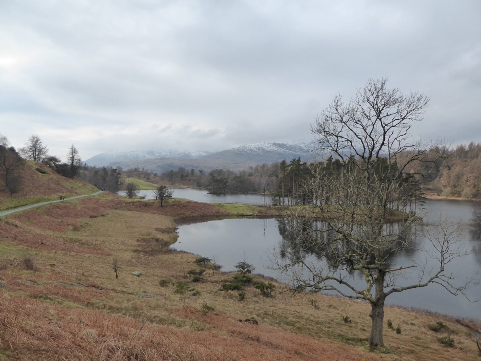 EasyTarn Hows Circular Walk3.2 km · 1 hr · 2.5 km awayWide gravel loop around a landscaped tarn beneath grazed fells
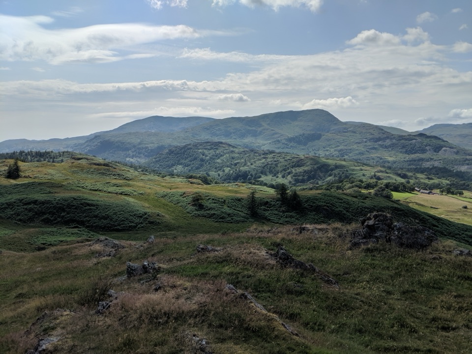 ModerateTarn Hows, Black Fell and Holme Fell13 km · 5 hr · 2.5 km awayTwo fells, a flooded quarry, a waterfall and two tarns
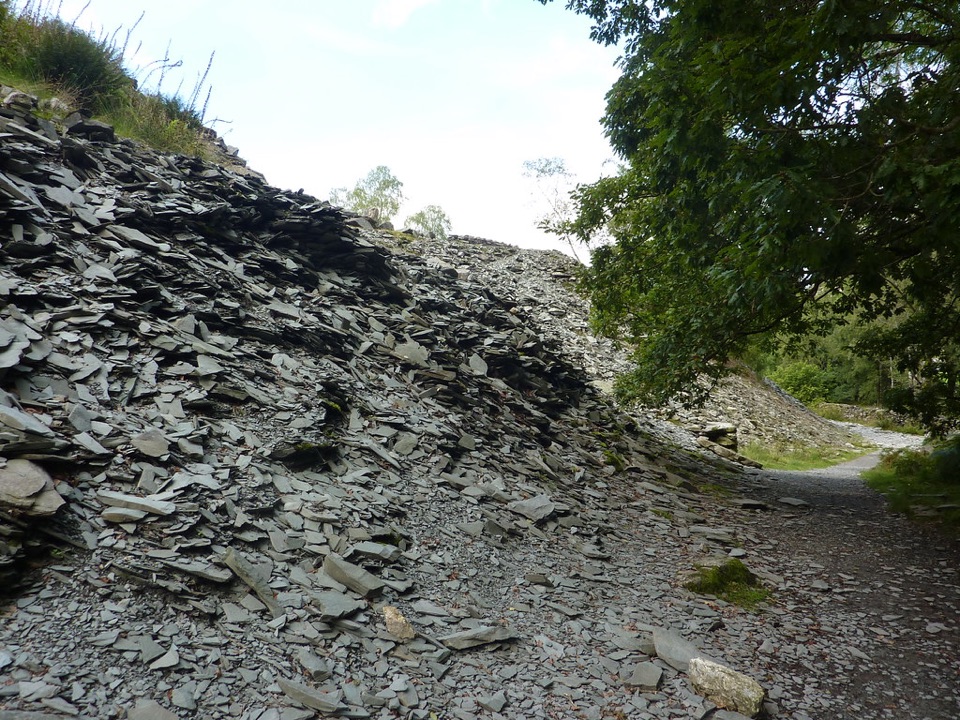 EasyElterwater Trail10 km · 3.5 hr · 3 km awaySlate country crossing from Coniston to Elterwater via Slater's Bridge
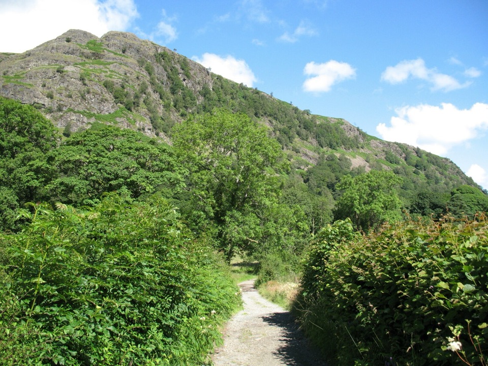 EasyYewdale Bridleway4.8 km · 1.3 hr · 3 km awayStone track under rocky fells, oak woods and a timber footbridge
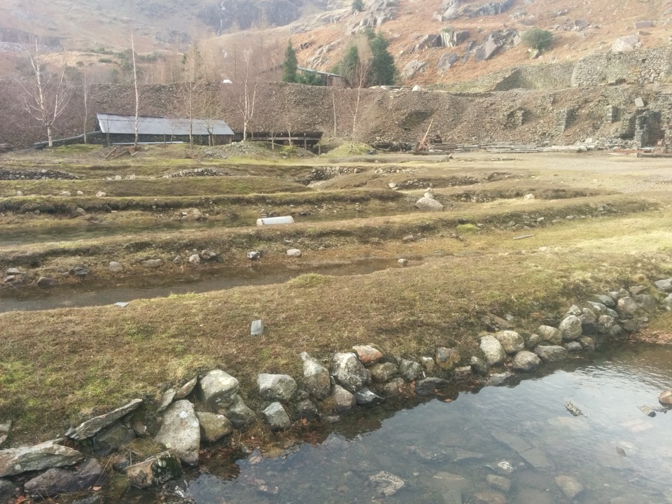 ChallengingLand of Power and Ore5.6 km · 3.3 hr · 3.3 km awaySteep fell track past engine houses, shafts and old copper workings
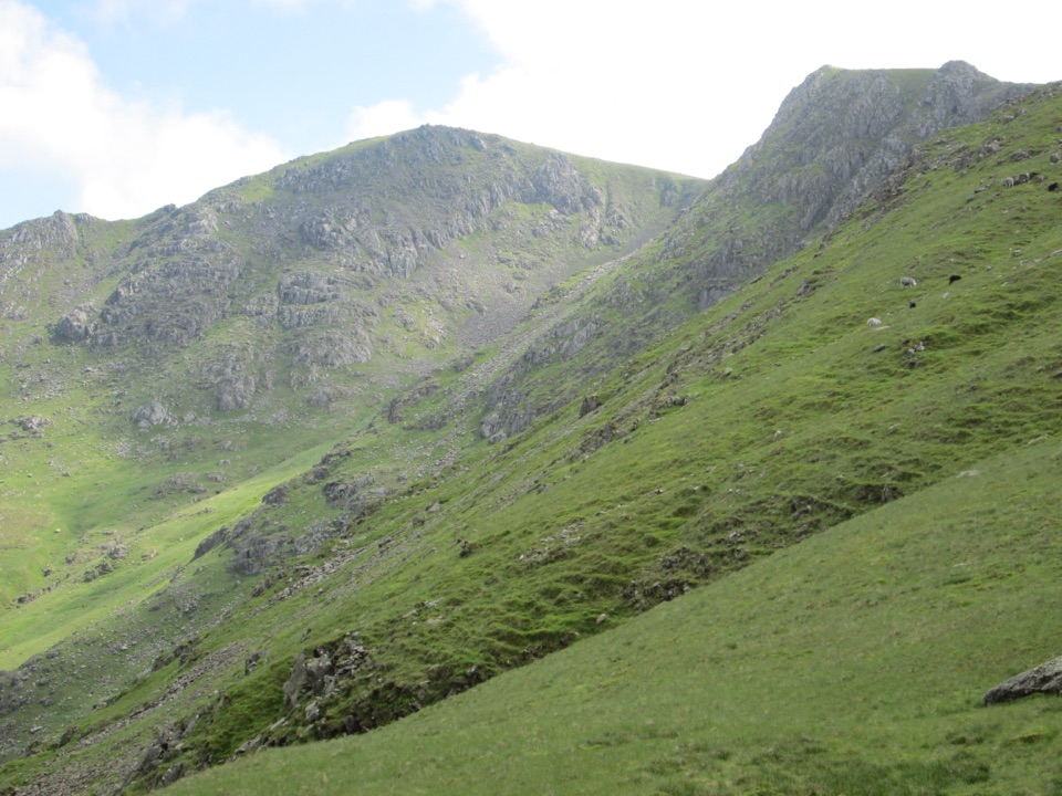 ChallengingGreat Carrs and Grey Friar7.6 km · 4 hr · 3.4 km awayA rugged two-summit outing with a dramatic ridge and bomber memorial
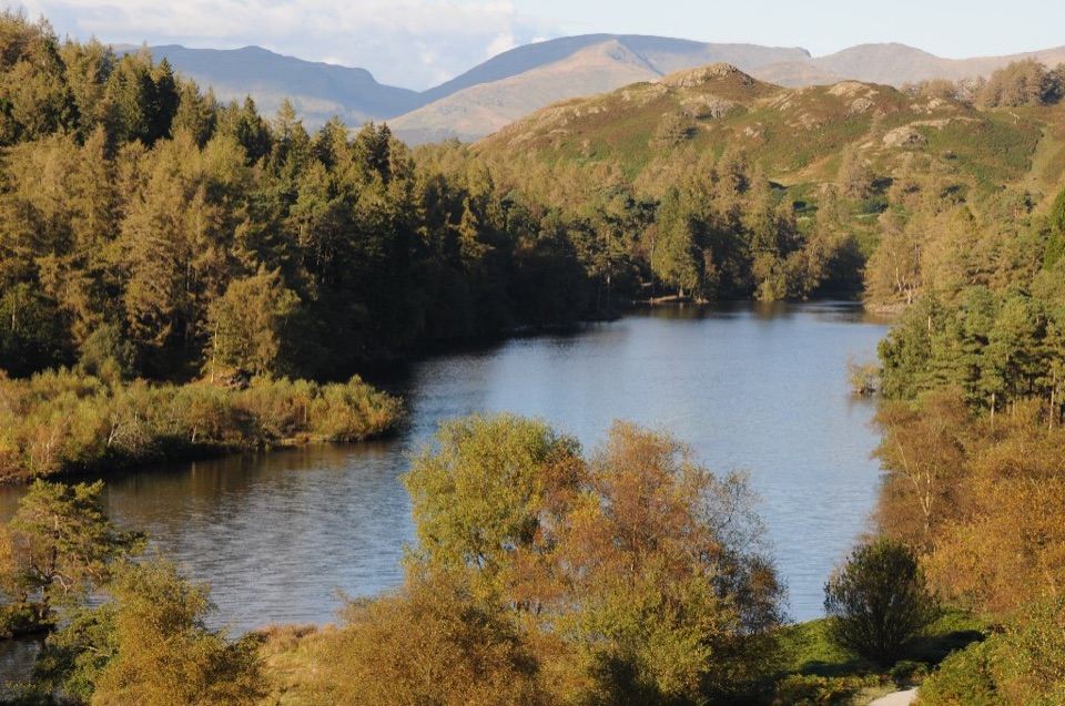 Sight · 2.5 km awayTarn HowsA wooded mountain tarn with an easy loop and fell views
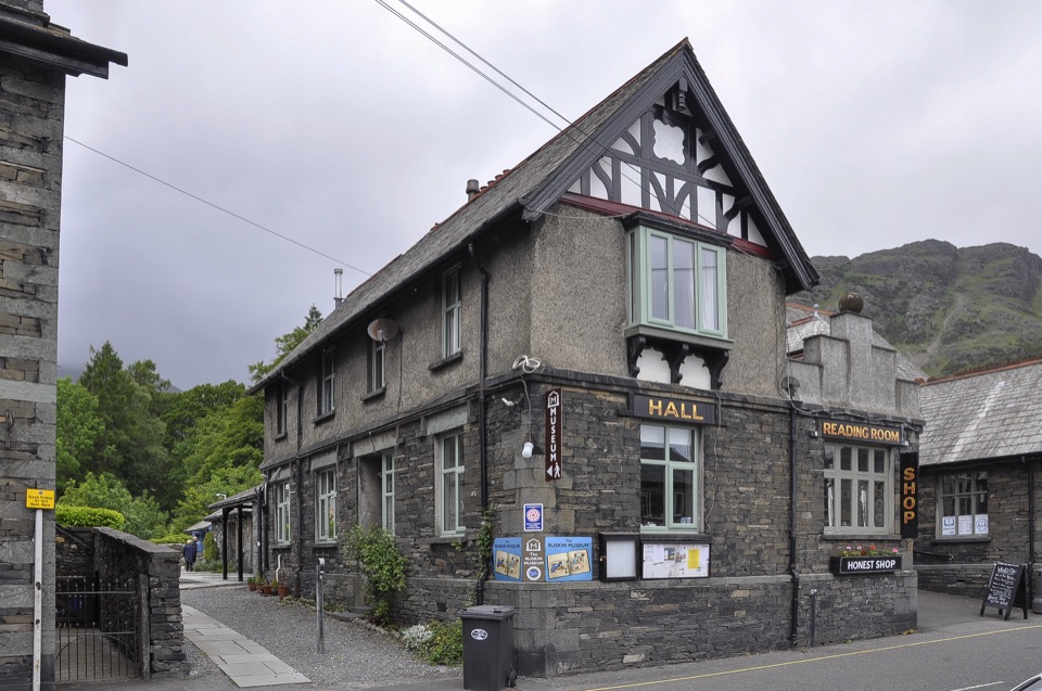 Sight · 3.3 km awayThe Ruskin MuseumBluebird K7 anchors a rich story of Coniston, copper, and culture
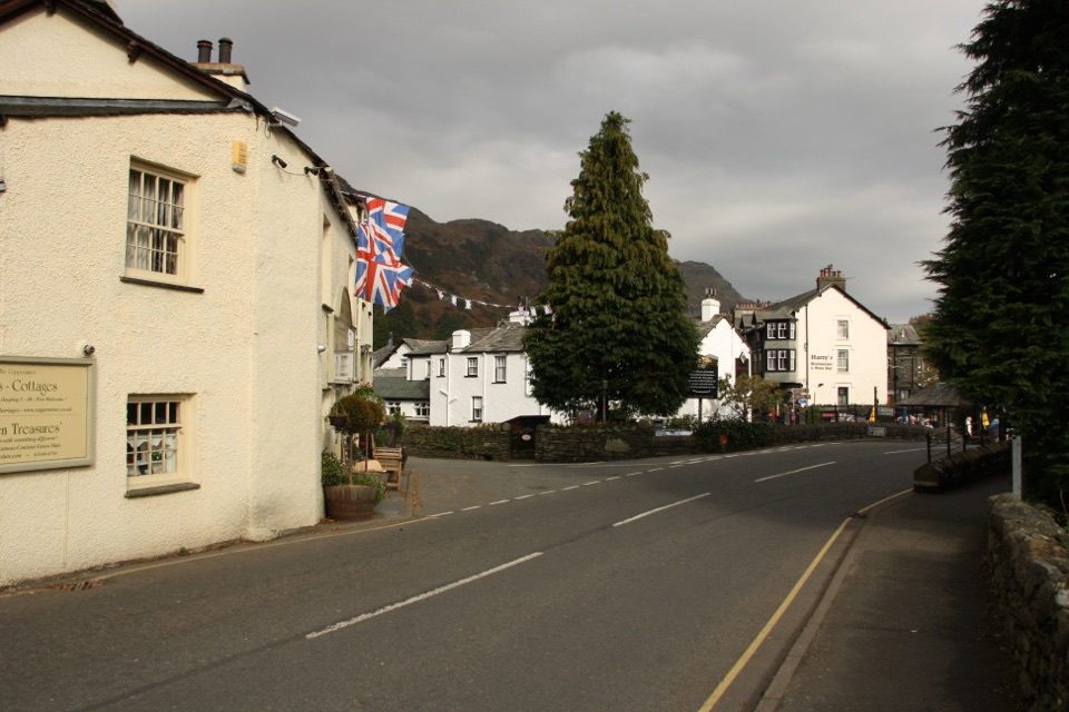 Sight · 3.4 km awayConiston VillageA characterful village base beneath the Old Man of Coniston
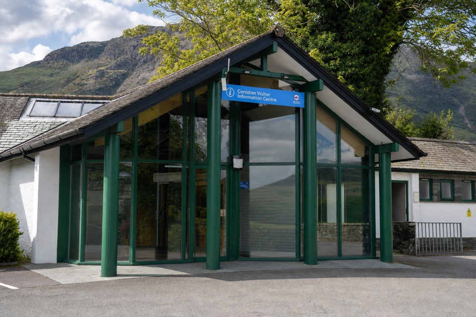 Visitor center · 3.4 km awayConiston Information CentreA practical base for maps, walks, and local Coniston advice
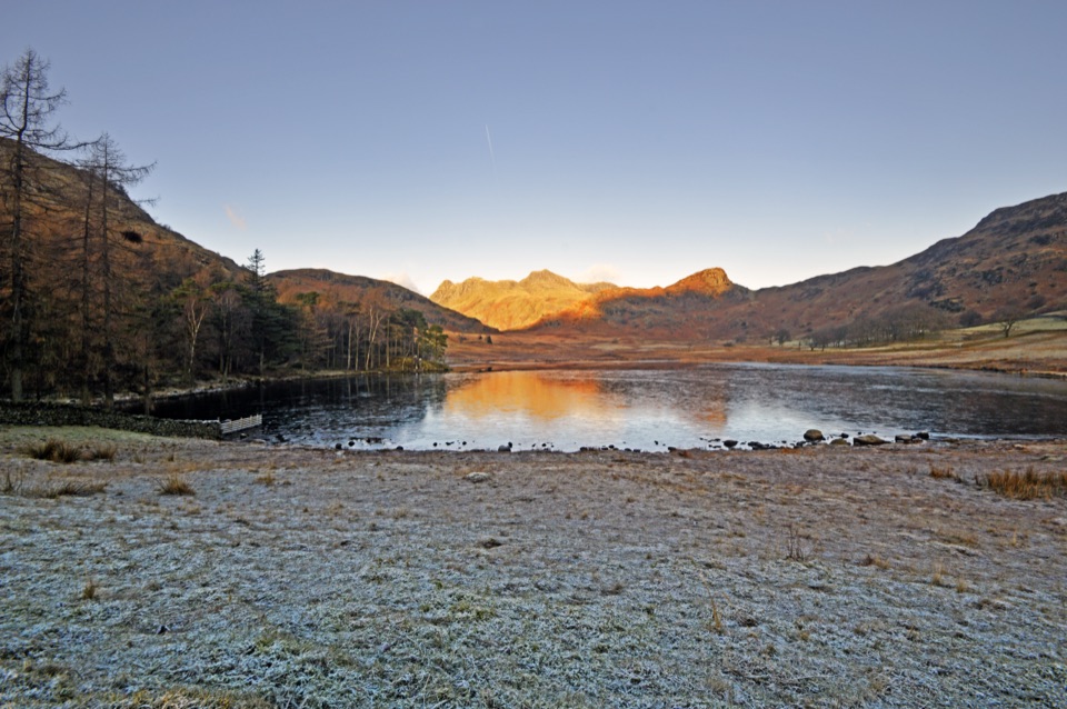 Sight · 3.7 km awayBlea TarnA still mountain tarn framed by the Langdale Pikes
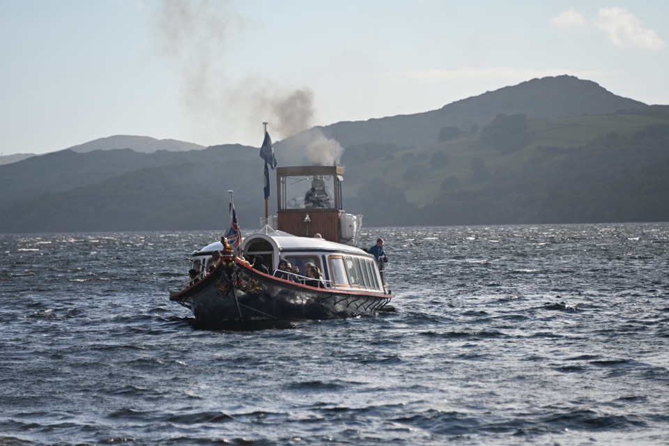 Sight · 4.1 km awaySteam Yacht GondolaA Victorian steam yacht gliding beneath Coniston's fells
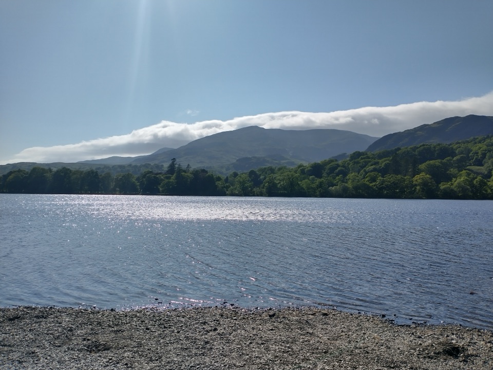 Sight · 4.7 km awayOld Man of ConistonA slate-scarred summit with wide views over the southern Lakes
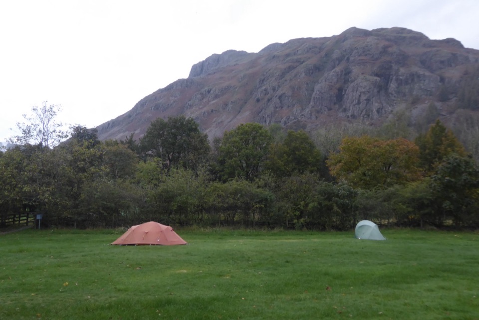 Campground · 5.2 km awayGreat Langdale CampsiteA mountain-framed base for walks and a proper digital detox
Parkwolf’s Lake District ranking

The audio tour guide for the drive, plus offline maps, trails, and wildlife heatmaps for when the signal drops.





