Parking
Use the pay-and-display car park opposite the Patterdale Hotel, near grid reference NY396159. The walk starts beside the hotel and returns to the same place. Do not use farm entrances or block the narrow lanes.
Lake District National Park, EN
Two summits, a rough ridge, and Ullswater views from Patterdale
Overview
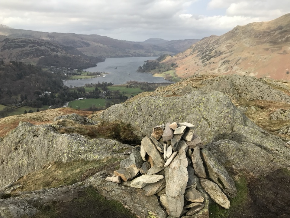
Arnison Crag gives the more immediate view down Ullswater towards Glenridding, while Birks looks across Grisedale to Birkhouse Moor, St Sunday Crag, and the Helvellyn range. Expect open fell, exposed rock, old walls, and patches of prostrate juniper. The lower section through Glenamara Park adds veteran oak and alder, with bluebells a durable seasonal highlight in May and June. Clear early or late light is especially good for the lake and ridge views.
 Parkwolf’s verdictThe payoff
Map & elevation
Plan your hike

The highest, rockiest slopes around here are a summer buffet for grizzly bears.
Lake District Tour Guide
Parkwolf is a GPS audio tour guide for Lake District National Park. As you drive, it chimes in with what’s ahead: hidden gems, upcoming stops, history, geology, and wildlife, right through your car’s speakers.
Recorded for this trailhead
Patterdale: Place Fell and Arnison Crag“Up ahead is Patterdale, a starting point for Place Fell and a mountain walk with Ullswater spread below you.”
Plays as you drive up to this trailhead in the Parkwolf Lake District Tour Guide.
More stories near here in the app
“Fantastic app with many points of information… It’s great to just turn on while you’re driving and it gives you an audio tour of the national Park. We love it!!!!”


Trail guide
This is a 4.9-mile (7.9 km) circular from Patterdale, starting and finishing at the car park opposite the Patterdale Hotel. From the village, follow the lane towards Grisedale, climb through Glenamara Park and up the steep, stone-pitched path to Thornhow End, then continue to the grassy summit of Birks. The route drops beside a ruined wall to Trough Head, crosses Hag Beck, and climbs the rough ridge to Arnison Crag before descending past Oxford Crag and returning to Patterdale. Allow 3 to 3.5 hours; about 3.25 hours is a realistic sightseeing pace.
The distance is modest, but 526 metres of ascent makes this a proper fell walk. The first climb is sustained and steep, while the ridge between the two summits is grassy, uneven, and occasionally boggy. Birks has a small cairn on an open, rather plain summit. Arnison Crag is rockier, with a short clamber to its summit outcrop. The route is not technically difficult, but the faint line around Trough Head and the rough ground reward careful navigation, especially in mist.
Dogs are allowed, but the route crosses grazed ground. Keep them on a lead and well clear of cattle and sheep. Parking at Patterdale is limited, so the circuit is easier when you can arrive early or use public transport. The roadside approach can be busy, and the path can become wet underfoot after rain. If you want a longer, higher outing, continue from Birks towards St Sunday Crag; that is a different and much more demanding walk than this circuit.
Wildlife
 81 sightingsRed DeerMost seen around 7 PMSighting map
 13 sightingsEurasian OtterMost seen around 6 AMSighting map
 76 sightingsOspreyMost seen around 8 AMSighting map
 51 sightingsEuropean BadgerMost seen around 8 PMSighting map
 233 sightingsMute SwanMost seen around 6 PMSighting map
 176 sightingsGrey HeronMost seen around 7 AMSighting map
Sighting maps show where each species has been reported across Lake District. Wildlife moves, so no sighting is guaranteed.
Keep exploring
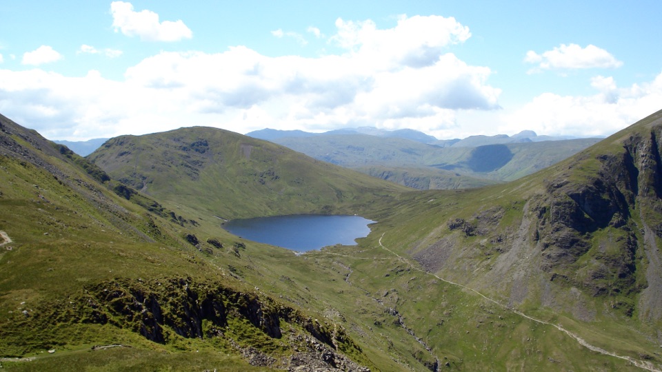 ChallengingSt Sunday Crag and Grisedale Tarn14.5 km · 5.5 hr · At the trailheadA high ridge, airy crags, and a tarn-filled valley return
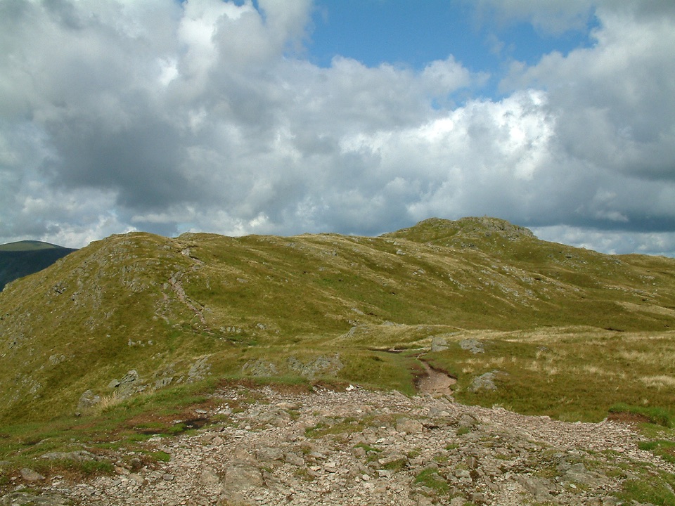 ChallengingPlace Fell and Ullswater Shore12.1 km · 4.5 hr · 0.2 km awayHard fell loop from Patterdale with Ullswater views and waterfall
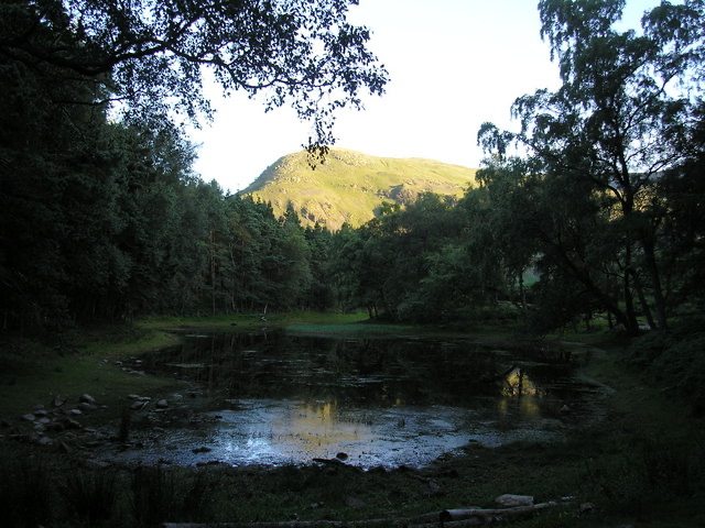 ModerateLanty's Tarn, Keldas and Patterdale Circular4.3 km · 1.5 hr · 1.3 km awayQuiet tarn, tiny summit and Ullswater views from Glenridding
 ChallengingHelvellyn via Striding Edge and Swirral Edge12.4 km · 5.5 hr · 1.4 km awayThe classic Lake District ridge walk over Helvellyn's summit
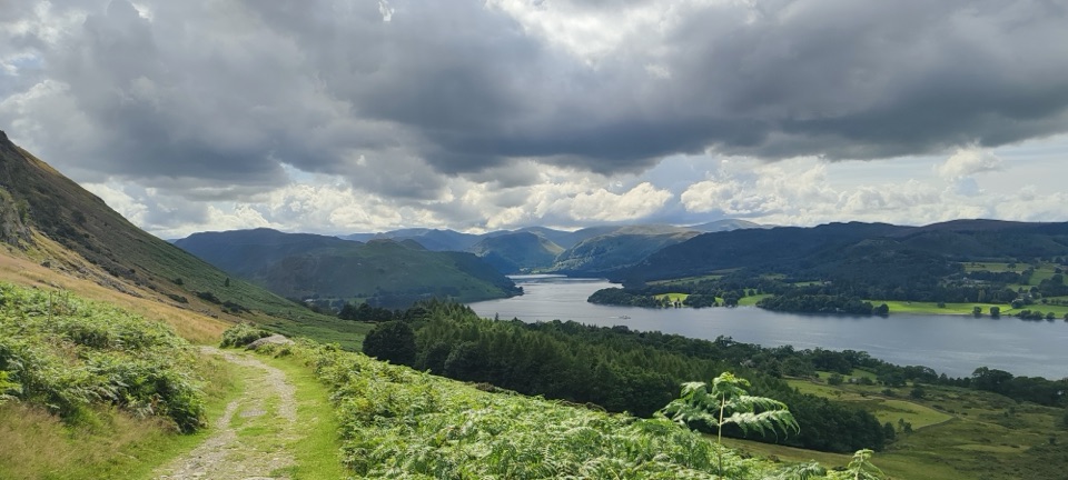 ModerateUllswater Way32.3 km · 10 hr · 1.4 km awayA full day circling Ullswater on lakeshore paths and fellside tracks
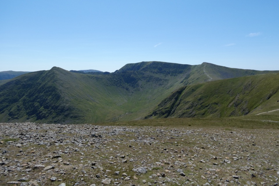 ChallengingWhite Side and Raise from Glenridding13.7 km · 5 hr · 1.4 km awayTwo Wainwright summits, Helvellyn views, and old mine workings below
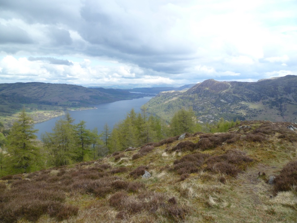 ModerateGlenridding Dodd, Heron Pike and Sheffield Pike9.2 km · 3.8 hr · 1.4 km awayThree-summit heather ridge circuit above Ullswater, 5.7 miles
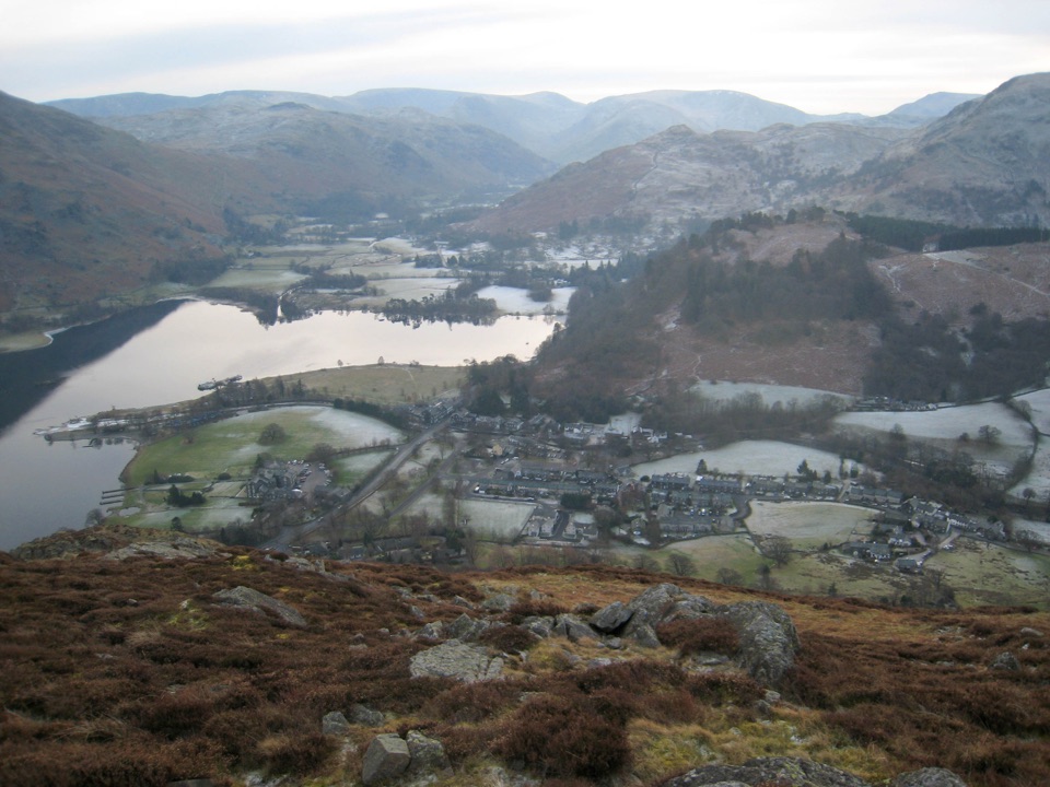 ModerateGlenridding Dodd5 km · 2 hr · 1.4 km awayA steep little loop to a 442 m cairn above Ullswater
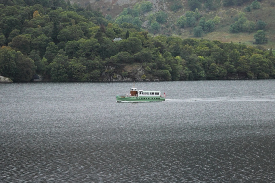 Sight · 1.1 km awayUllswater SteamersHeritage boats turn Ullswater into a moving mountain panorama
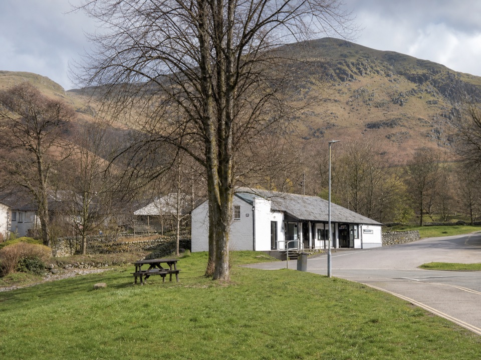 Visitor center · 1.4 km awayUllswater Information CentreA practical launchpad for Ullswater walks, boats, and local know-how
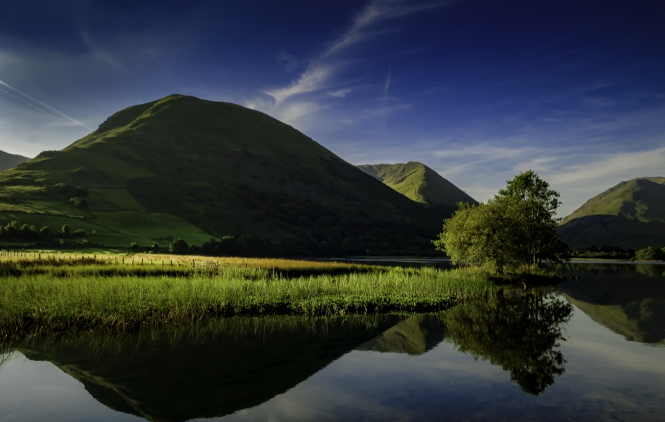 Sight · 3.2 km awayBrothers WaterA reed-fringed lake with big fell reflections and an easy shore walk
 Sight · 4.6 km awayAira ForceA wooded waterfall walk with bridges, cascades, and Ullswater views
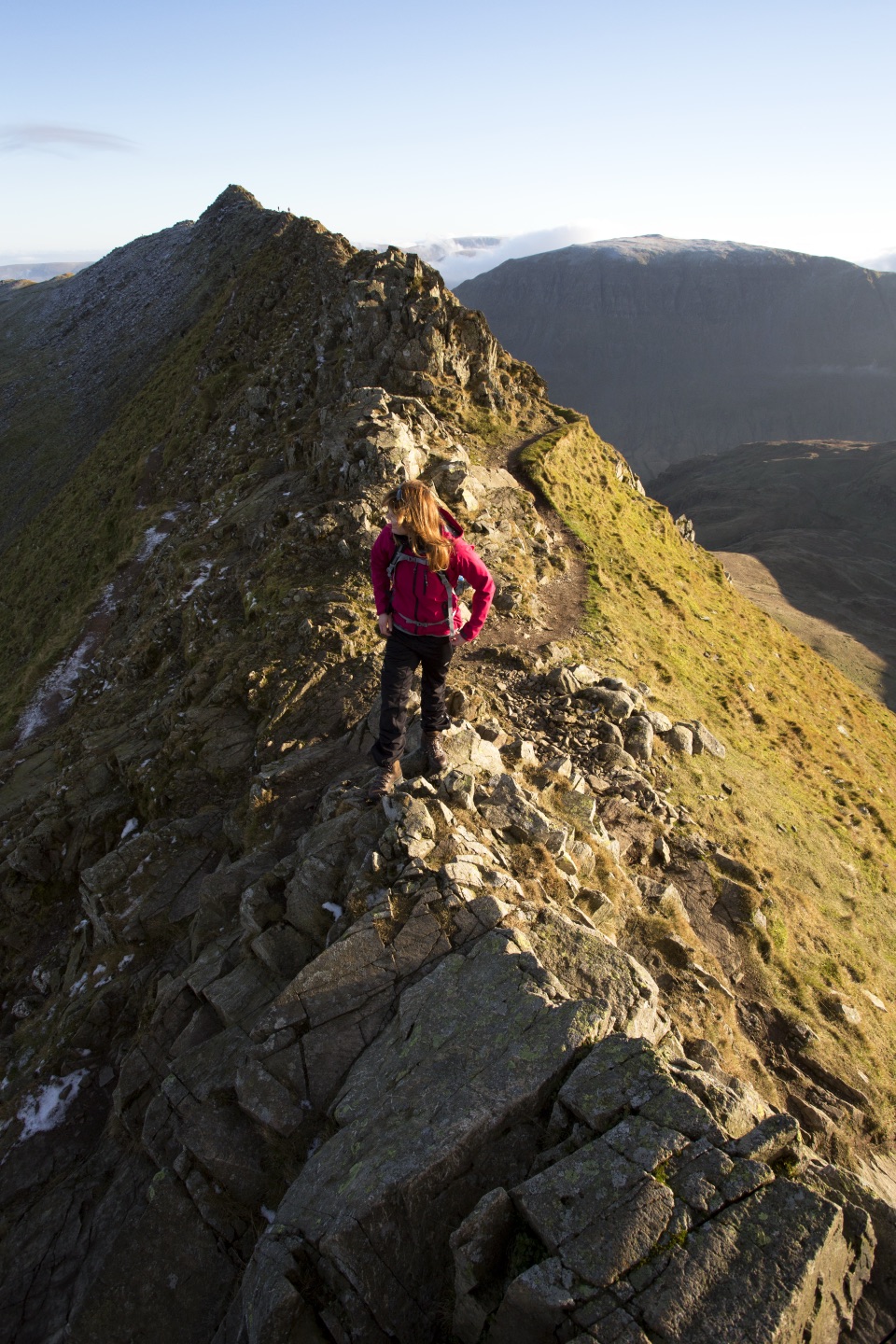 Sight · 5.4 km awayHelvellynEngland's third-highest peak, ringed by two airy ridges
 Sight · 5.4 km awayUllswaterA mountain-rimmed lake made for cruises, walks, and changing light
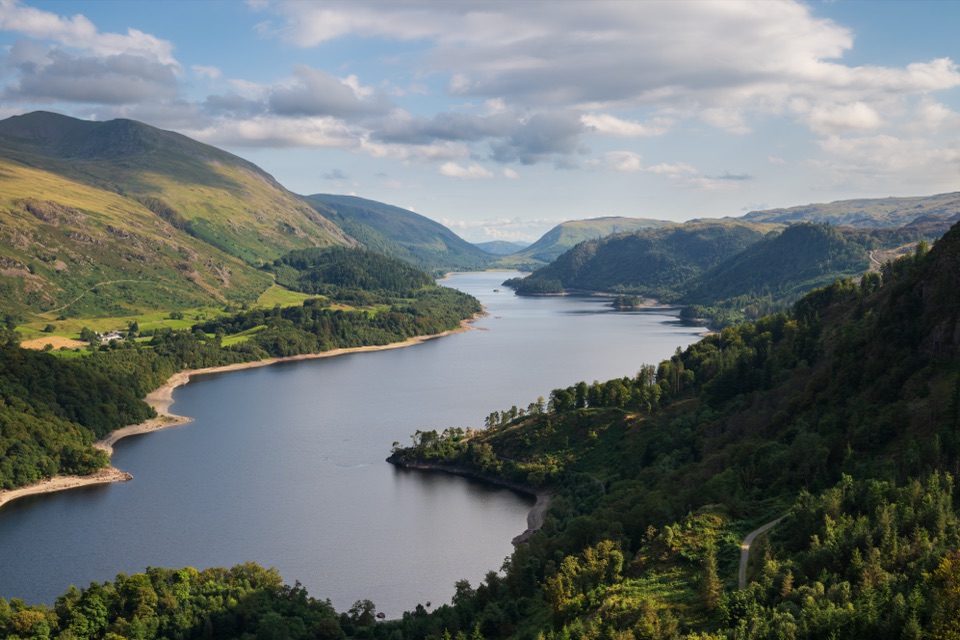 Sight · 8 km awayThirlmereA long, dark reservoir framed by Helvellyn and wooded fells.
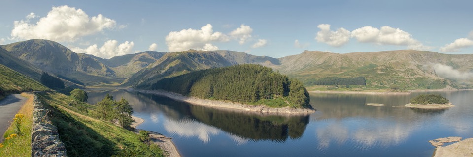 Sight · 9.4 km awayHaweswater ReservoirA remote mountain reservoir where quiet paths meet the High Street fells
Parkwolf’s Lake District ranking
The audio tour guide for the drive, plus offline maps, trails, and wildlife heatmaps for when the signal drops.




