Parking
Start at Beckside Car Park in Glenridding. From the upper level, follow Greenside Road and the path beside the Health Centre; the village and its facilities are close by. The car park is pay-and-display.
Lake District National Park, EN
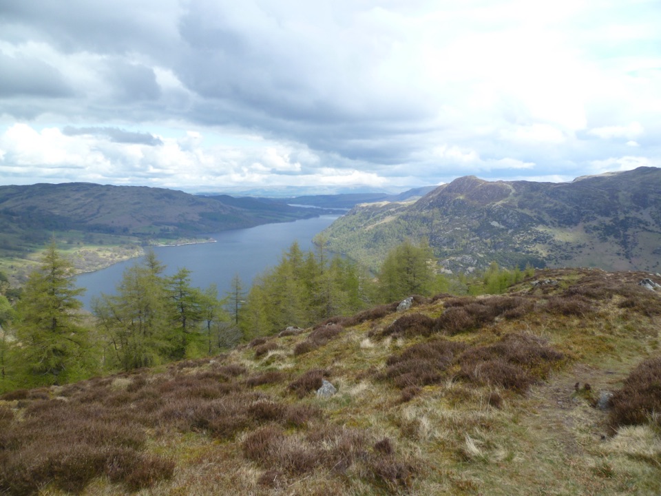
Three-summit heather ridge circuit above Ullswater, 5.7 miles
Overview
This is a closed loop starting and finishing at Beckside Car Park, and all distances quoted are for the full loop: 5.7 miles (9.2 km) with 611 m of ascent, typically taking about 3 hours 45 minutes. Difficulty is rated 6 out of 10, reflecting sustained steep ground rather than technical scrambling. No permit is required.
Map & elevation
Plan your hike

The highest, rockiest slopes around here are a summer buffet for grizzly bears.
Lake District Tour Guide
Parkwolf is a GPS audio tour guide for Lake District National Park. As you drive, it chimes in with what’s ahead: hidden gems, upcoming stops, history, geology, and wildlife, right through your car’s speakers.
Recorded for this trailhead
Helvellyn Walks from Glenridding“You're coming up on Glenridding, a starting point for Helvellyn and some much shorter walks into the fells. Helvellyn rises to almost nine hundred and fifty metres, making it England's third-highest mountain.”
Plays as you drive up to this trailhead in the Parkwolf Lake District Tour Guide.
More stories near here in the app
“Fantastic app with many points of information… It’s great to just turn on while you’re driving and it gives you an audio tour of the national Park. We love it!!!!”


Trail guide
From Beckside Car Park the route follows Greenside Road past the Health Centre and climbs The Rake to reach Glenridding Dodd. From the Dodd it returns to the col and takes the south-east ridge onto Heron Pike, then continues to the summit of Sheffield Pike. The descent goes by way of Nick Head, passing quarry heaps to a footbridge, then Greenside Mine and Gillside Farm before returning through Glenridding.
Expect steep rocky steps on the initial climb, deep heather on the ridges, and a boggy plateau between the higher summits. The descent involves rough, loose stone before easier lower tracks. On the high ground, route choice needs attention, and mist makes navigation harder.
There is no safe escape from the south-east ridge until the summit is reached, so commit to the line only if prepared to finish it. Steep slopes and old mine workings lie near parts of the route. In winter, snow, ice, and wet bog make the walk considerably harder.
Walkers wanting a longer and higher day may prefer the Helvellyn ridges, while those seeking a much shorter outing can climb Glenridding Dodd alone and return the same way.
Dogs are permitted. Keep them under close control throughout and on leads where livestock may be present.
Wildlife
 81 sightingsRed DeerMost seen around 7 PMSighting map
 13 sightingsEurasian OtterMost seen around 6 AMSighting map
 76 sightingsOspreyMost seen around 8 AMSighting map
 51 sightingsEuropean BadgerMost seen around 8 PMSighting map
 233 sightingsMute SwanMost seen around 6 PMSighting map
 176 sightingsGrey HeronMost seen around 7 AMSighting map
Sighting maps show where each species has been reported across Lake District. Wildlife moves, so no sighting is guaranteed.
Keep exploring
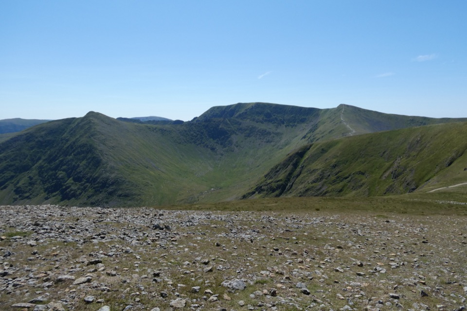 ChallengingWhite Side and Raise from Glenridding13.7 km · 5 hr · At the trailheadTwo Wainwright summits, Helvellyn views, and old mine workings below
 ChallengingHelvellyn via Striding Edge and Swirral Edge12.4 km · 5.5 hr · At the trailheadThe classic Lake District ridge walk over Helvellyn's summit
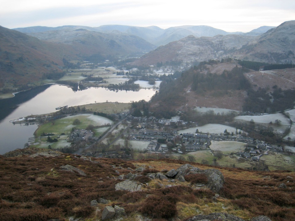 ModerateGlenridding Dodd5 km · 2 hr · At the trailheadA steep little loop to a 442 m cairn above Ullswater
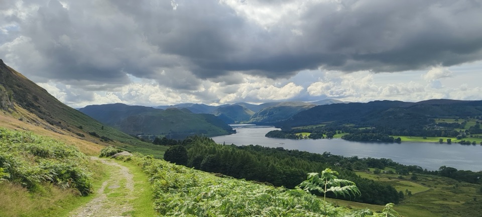 ModerateUllswater Way32.3 km · 10 hr · 0.1 km awayA full day circling Ullswater on lakeshore paths and fellside tracks
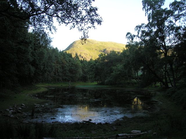 ModerateLanty's Tarn, Keldas and Patterdale Circular4.3 km · 1.5 hr · 0.2 km awayQuiet tarn, tiny summit and Ullswater views from Glenridding
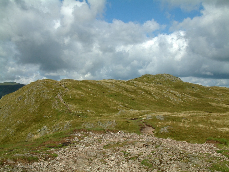 ChallengingPlace Fell and Ullswater Shore12.1 km · 4.5 hr · 1.2 km awayHard fell loop from Patterdale with Ullswater views and waterfall
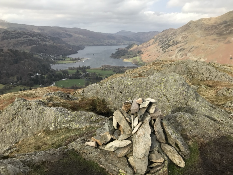 ModerateBirks and Arnison Crag Circular7.9 km · 3.3 hr · 1.4 km awayTwo summits, a rough ridge, and Ullswater views from Patterdale
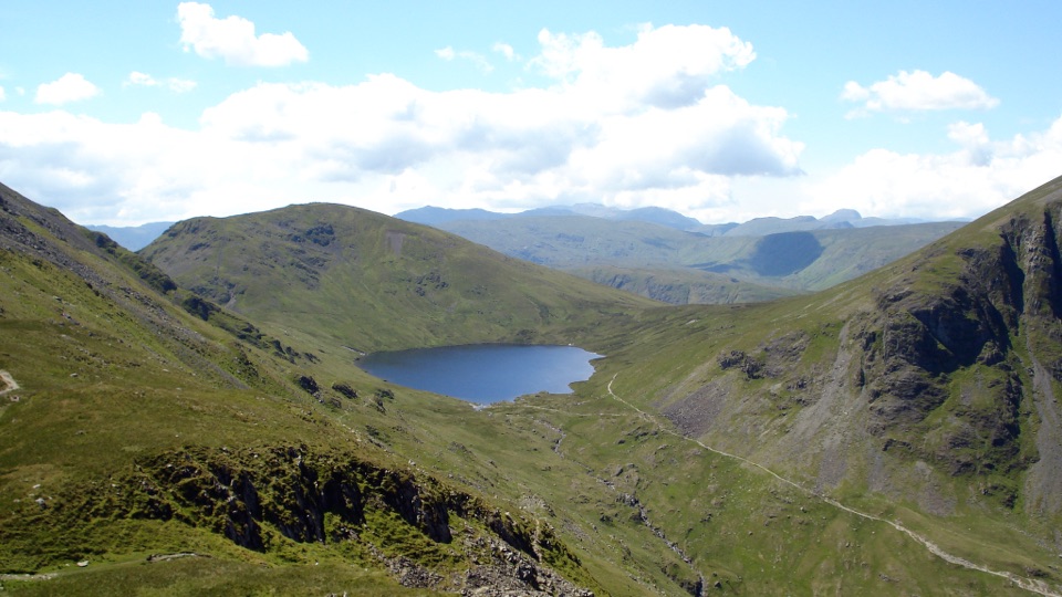 ChallengingSt Sunday Crag and Grisedale Tarn14.5 km · 5.5 hr · 1.4 km awayA high ridge, airy crags, and a tarn-filled valley return
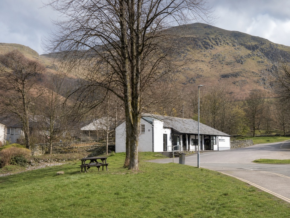 Visitor center · At the trailheadUllswater Information CentreA practical launchpad for Ullswater walks, boats, and local know-how
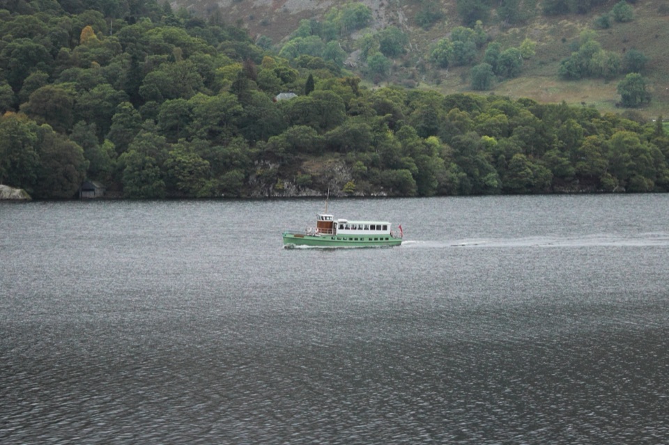 Sight · 0.5 km awayUllswater SteamersHeritage boats turn Ullswater into a moving mountain panorama
 Sight · 3.9 km awayAira ForceA wooded waterfall walk with bridges, cascades, and Ullswater views
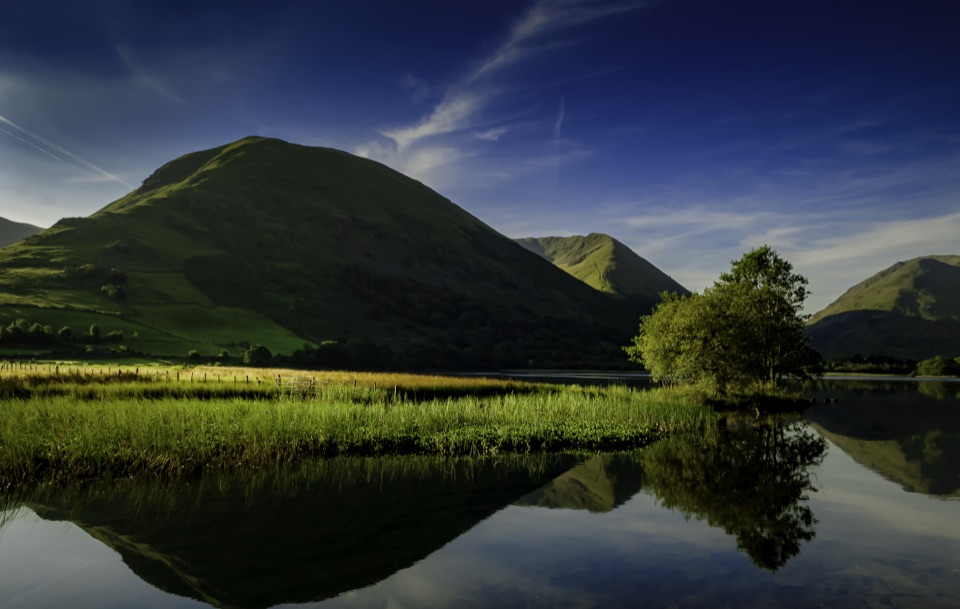 Sight · 4.4 km awayBrothers WaterA reed-fringed lake with big fell reflections and an easy shore walk
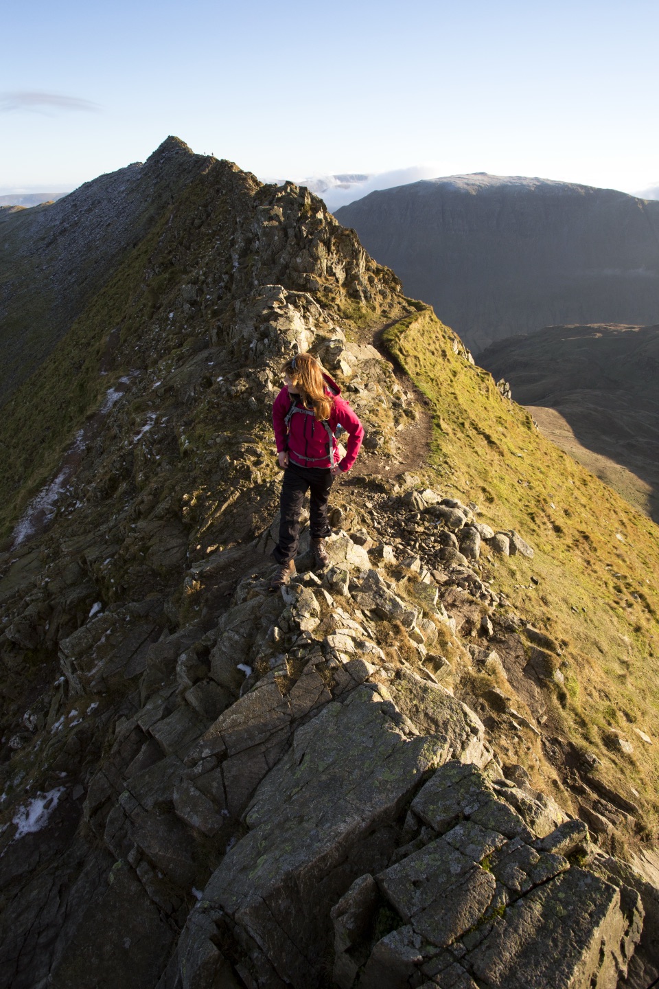 Sight · 4.7 km awayHelvellynEngland's third-highest peak, ringed by two airy ridges
 Sight · 5.4 km awayUllswaterA mountain-rimmed lake made for cruises, walks, and changing light
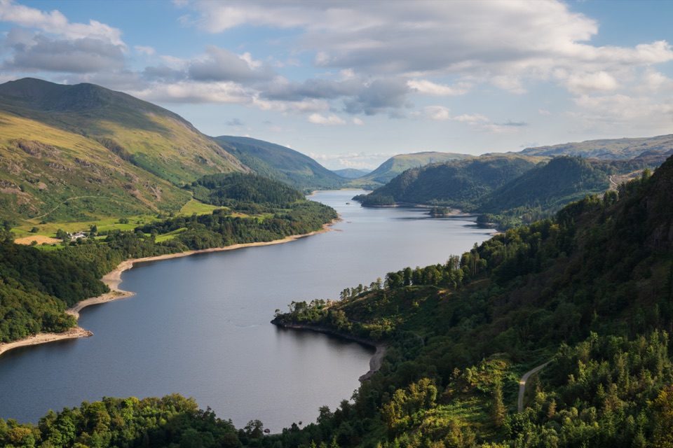 Sight · 7.1 km awayThirlmereA long, dark reservoir framed by Helvellyn and wooded fells.
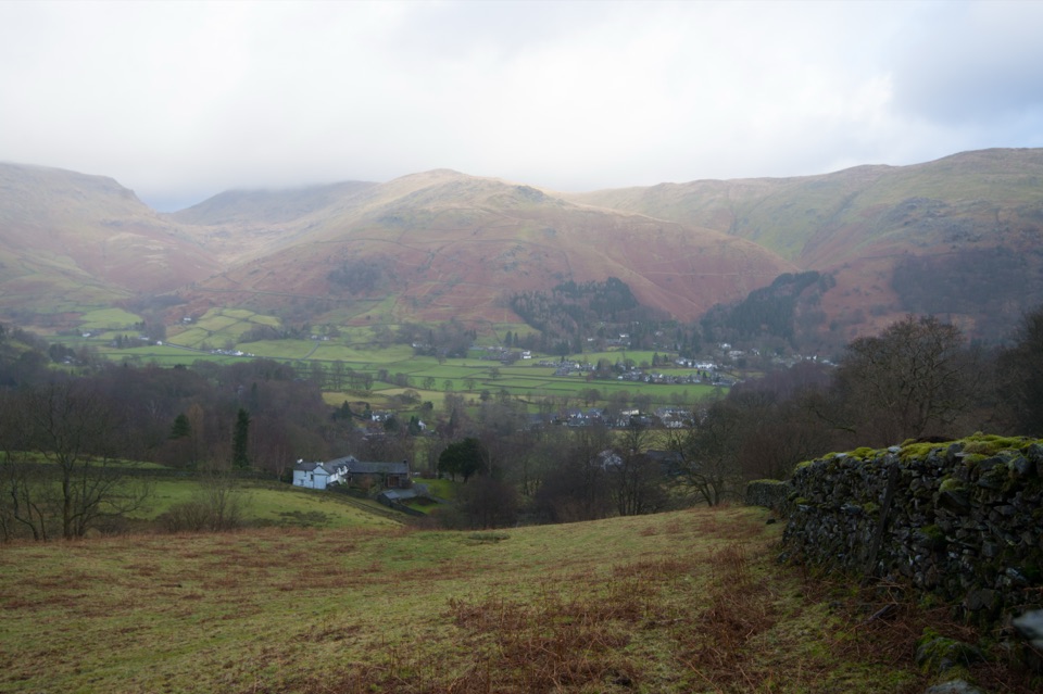 Sight · 10.5 km awayGrasmere VillageA slate-roofed fell village with Wordsworth, gingerbread, and walks
Parkwolf’s Lake District ranking

The audio tour guide for the drive, plus offline maps, trails, and wildlife heatmaps for when the signal drops.




