Parking
Start at Glenridding Car Park on Greenside Road, beside the Ullswater Information Centre and close to the lake. The loop can also be started at Pooley Bridge or Aira Force, with local buses and Ullswater Steamers linking sections.
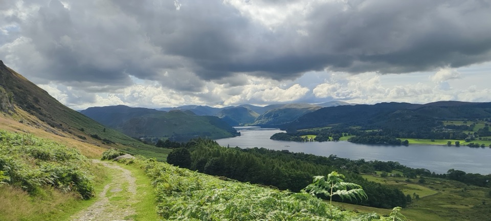
#12 of 265 trails in Lake District
Lake District National Park, EN
A full day circling Ullswater on lakeshore paths and fellside tracks
Overview
Map & elevation
Plan your hike

The highest, rockiest slopes around here are a summer buffet for grizzly bears.
Lake District Tour Guide
Parkwolf is a GPS audio tour guide for Lake District National Park. As you drive, it chimes in with what’s ahead: hidden gems, upcoming stops, history, geology, and wildlife, right through your car’s speakers.
Recorded for this trailhead
Glenridding: Ullswater Shore and Steamers“You're approaching Glenridding, where you can join the Ullswater Way or head to the pier for a trip among the fells.”
Plays as you drive up to this trailhead in the Parkwolf Lake District Tour Guide.
More stories near here in the app
“Fantastic app with many points of information… It’s great to just turn on while you’re driving and it gives you an audio tour of the national Park. We love it!!!!”


Trail guide
The Ullswater Way is a circular loop, and the stored figure of 20.1 miles is the complete circuit of the lake. There is no fixed start; this record uses Glenridding Car Park as the primary access point simply so the mapped loop begins somewhere consistent. The official public figure is 20 miles, or 32 km.
From Glenridding the stored line follows the southern lake shore, then the wilder eastern side below Place Fell by way of Sandwick, Martindale and Howtown, continues on the lower shore route toward Pooley Bridge, and returns along the northern and western side past Watermillock, Aira Force and Glencoyne before closing the loop at Glenridding. It uses the lower route throughout, so the optional higher Gowbarrow and Askham Fell alternatives are not part of the stored walk.
Difficulty is 6 out of 10. No named summit is climbed, but the ground is persistently undulating and the cumulative ascent is substantial, with independent estimates ranging from roughly 780 m to about 900 m. The official grading for the full route is Harder, and the route association calls the whole circuit challenging. Nothing here is technical mountaineering.
Allow around 10 hours as a realistic point estimate for ordinary walkers taking pauses. Faster times are reported by strong walkers and much longer estimates exist, so treat the day as open ended rather than timed. Splitting the circuit into stages is sensible, and there are four natural sections between the Steamer piers.
Expect public rights of way across fell paths and tracks, woodland, fields, quiet road sections and rocky or narrow shoreline. Surfaces are frequently uneven, with rock and tree roots. About 200 m runs beside the A592 at Stybarrow Crag. There is one stone step stile on the lower Howtown to Pooley Bridge option, which the Askham Fell alternative avoids. Livestock are present, and the quieter eastern shore and fellside sections are the most exposed to wind and rain. Yellow daffodil waymarks guide the route, but ordinary map awareness is still worth keeping.
The eastern shore below Place Fell is the quietest part of the circuit, with hidden bays, Sandwick and open water views. Easier walking comes on Pooley Bridge to Gale Bay and Aira Force to Glencoyne. The circuit as a whole is not an accessible route, because of its length, undulation, rough surfaces and the lower route stile.
The payoff is variety rather than a single viewpoint: lakeshore paths, woodland, fellside tracks and villages, the waterfall at Aira Force, the ancient woodland and historic farm at Glencoyne, and northern heritage such as Maiden Castle, Watermillock Church and Cockpit Stone Circle near the route. Lake and fell views work best in clearer light, while the woods, shoreline and the waymark itself add close range subjects.
Parking and information sit together in the village: Glenridding Car Park, Greenside Road, Glenridding, Penrith CA11 0PA, with the Ullswater Information Centre beside the main visitor car park. Other recognised parking exists at Pooley Bridge and Aira Force. The loop can be walked in either direction. Food and facilities are found in or near the villages and are more limited on the quieter stretches, so carry what you need.
Dogs are allowed on this public route, but must be kept under close control and on a lead near livestock or wherever signs request it.
The Aira Force and Gowbarrow Park Trail is shorter and centred on the waterfall, a sound choice for a compact outing instead of the full circuit.
Wildlife
 81 sightingsRed DeerMost seen around 7 PMSighting map
 13 sightingsEurasian OtterMost seen around 6 AMSighting map
 76 sightingsOspreyMost seen around 8 AMSighting map
 51 sightingsEuropean BadgerMost seen around 8 PMSighting map
 233 sightingsMute SwanMost seen around 6 PMSighting map
 176 sightingsGrey HeronMost seen around 7 AMSighting map
Sighting maps show where each species has been reported across Lake District. Wildlife moves, so no sighting is guaranteed.
Keep exploring
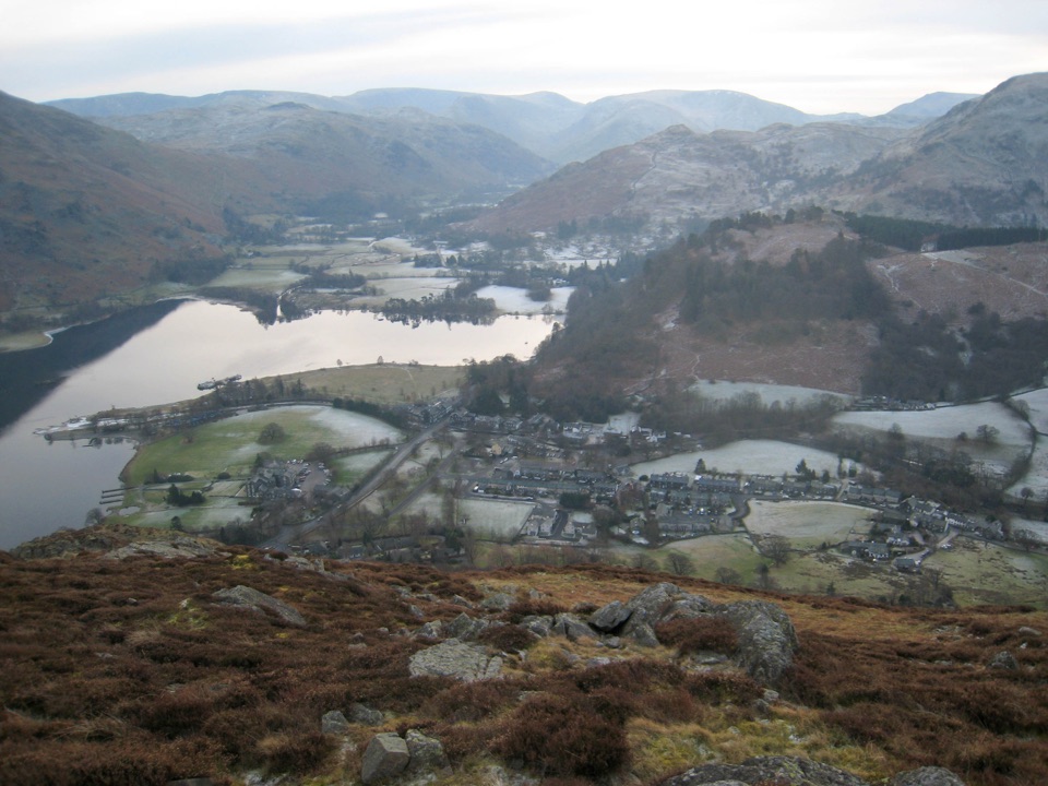 ModerateGlenridding Dodd5 km · 2 hr · At the trailheadA steep little loop to a 442 m cairn above Ullswater
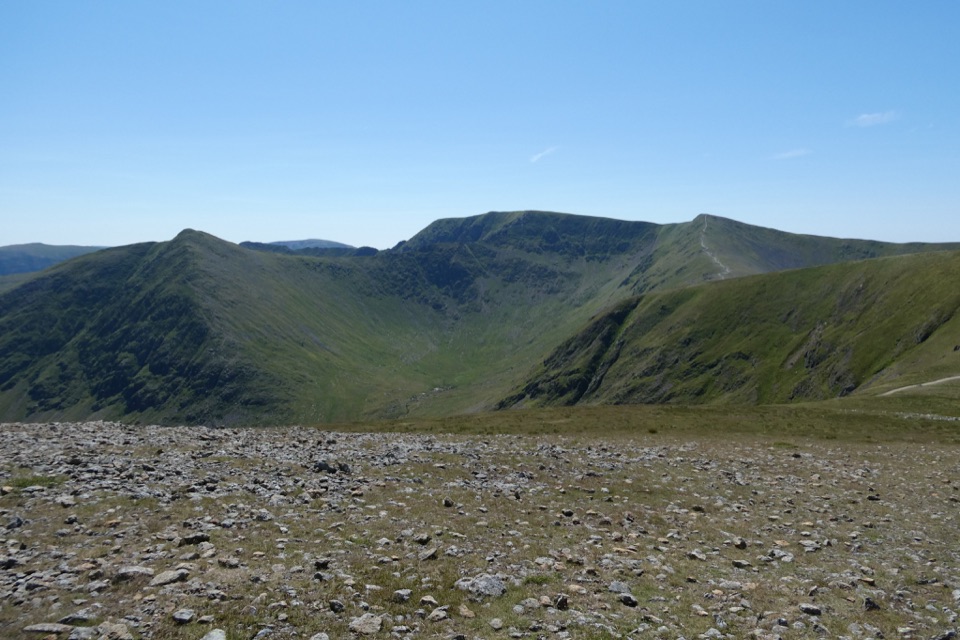 ChallengingWhite Side and Raise from Glenridding13.7 km · 5 hr · At the trailheadTwo Wainwright summits, Helvellyn views, and old mine workings below
 ChallengingHelvellyn via Striding Edge and Swirral Edge12.4 km · 5.5 hr · At the trailheadThe classic Lake District ridge walk over Helvellyn's summit
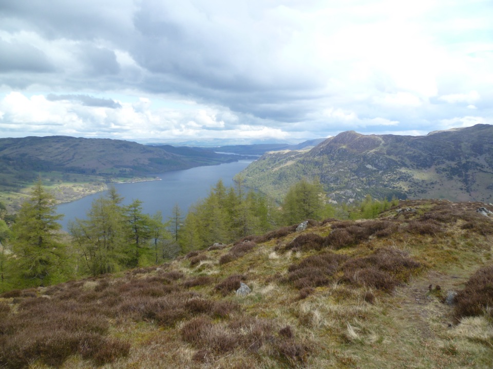 ModerateGlenridding Dodd, Heron Pike and Sheffield Pike9.2 km · 3.8 hr · 0.1 km awayThree-summit heather ridge circuit above Ullswater, 5.7 miles
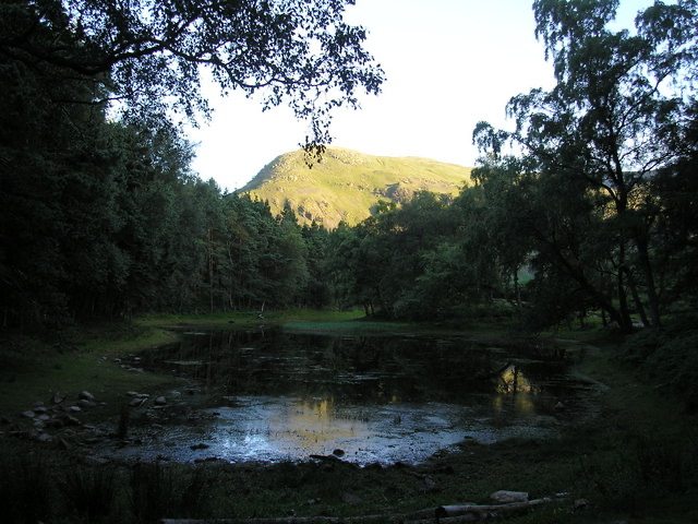 ModerateLanty's Tarn, Keldas and Patterdale Circular4.3 km · 1.5 hr · 0.1 km awayQuiet tarn, tiny summit and Ullswater views from Glenridding
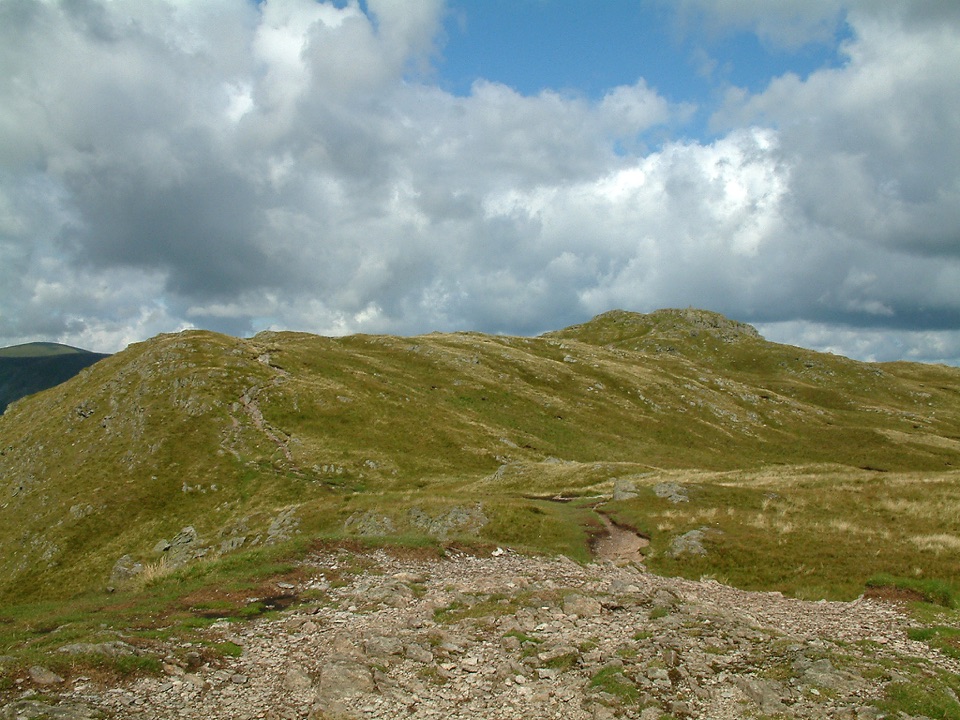 ChallengingPlace Fell and Ullswater Shore12.1 km · 4.5 hr · 1.2 km awayHard fell loop from Patterdale with Ullswater views and waterfall
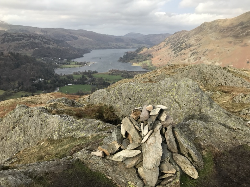 ModerateBirks and Arnison Crag Circular7.9 km · 3.3 hr · 1.4 km awayTwo summits, a rough ridge, and Ullswater views from Patterdale
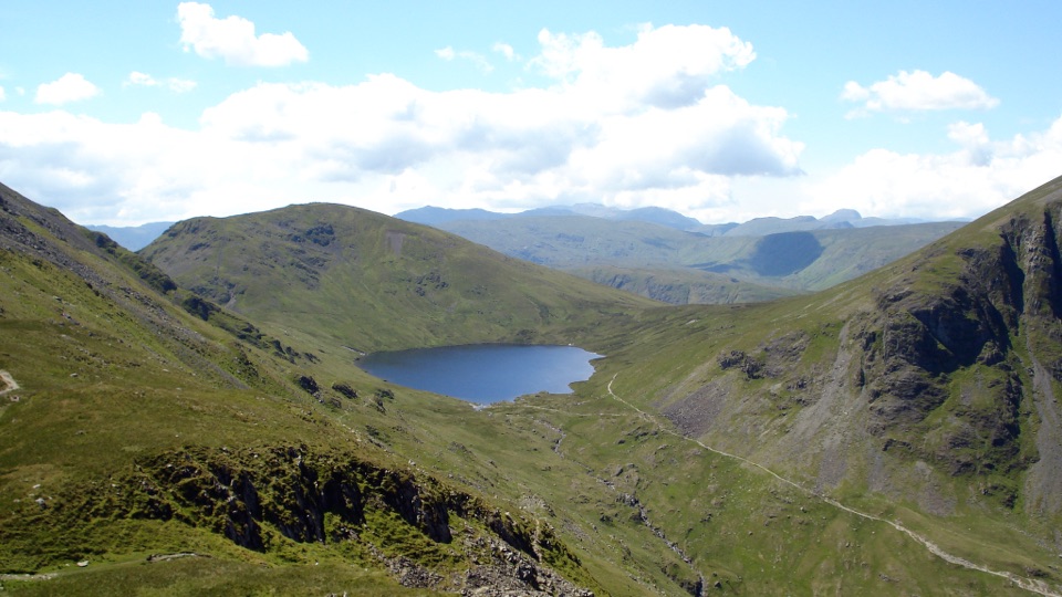 ChallengingSt Sunday Crag and Grisedale Tarn14.5 km · 5.5 hr · 1.4 km awayA high ridge, airy crags, and a tarn-filled valley return
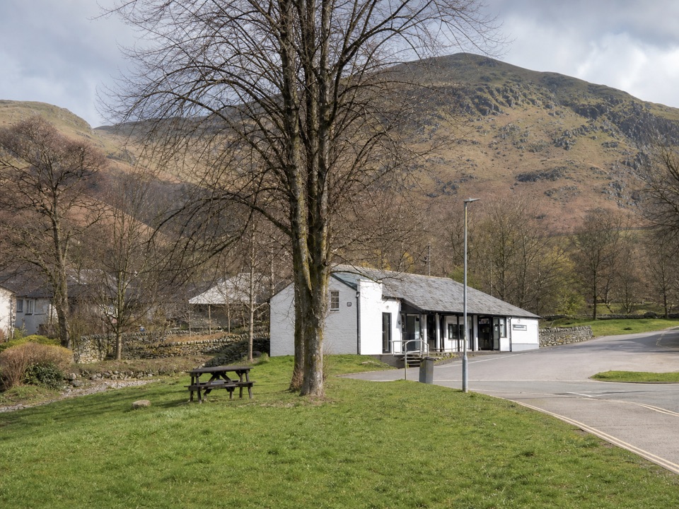 Visitor center · At the trailheadUllswater Information CentreA practical launchpad for Ullswater walks, boats, and local know-how
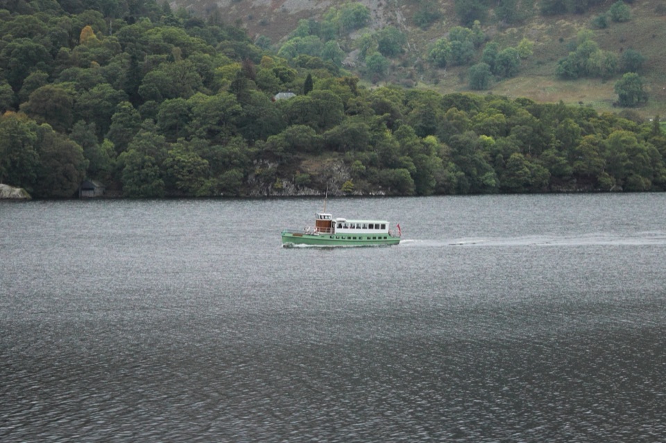 Sight · 0.4 km awayUllswater SteamersHeritage boats turn Ullswater into a moving mountain panorama
 Sight · 3.8 km awayAira ForceA wooded waterfall walk with bridges, cascades, and Ullswater views
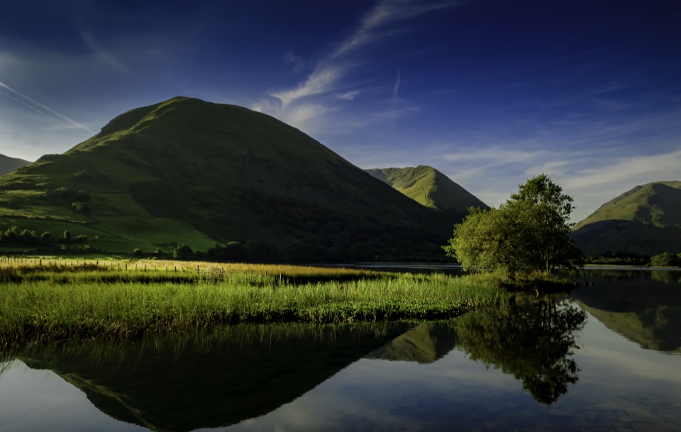 Sight · 4.4 km awayBrothers WaterA reed-fringed lake with big fell reflections and an easy shore walk
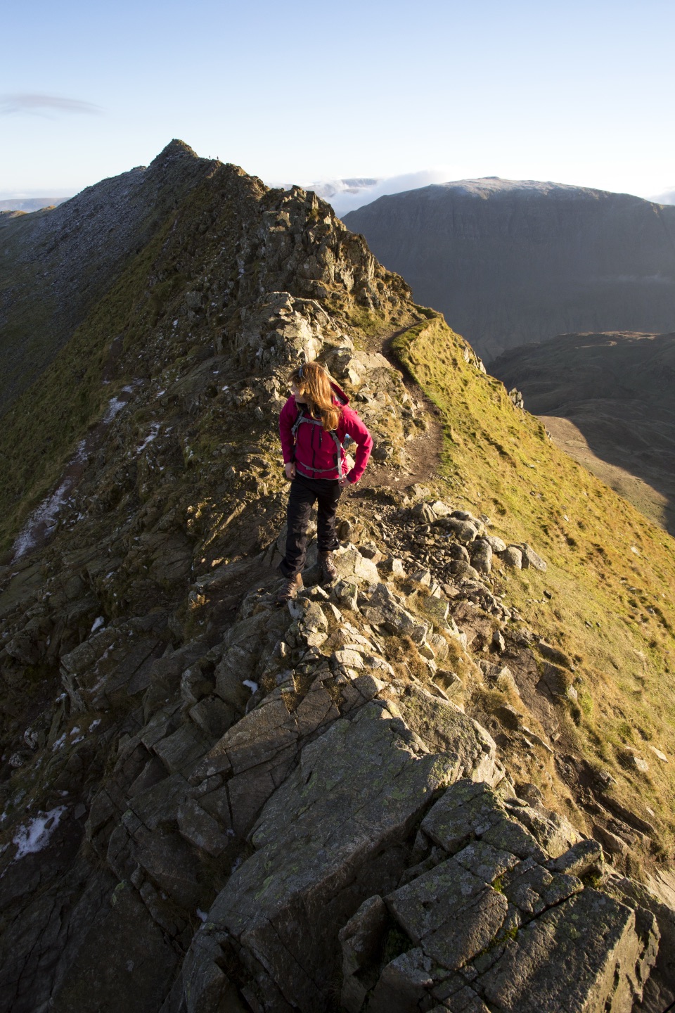 Sight · 4.7 km awayHelvellynEngland's third-highest peak, ringed by two airy ridges
 Sight · 5.3 km awayUllswaterA mountain-rimmed lake made for cruises, walks, and changing light
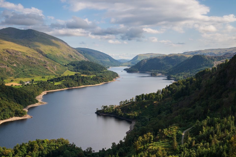 Sight · 7.1 km awayThirlmereA long, dark reservoir framed by Helvellyn and wooded fells.
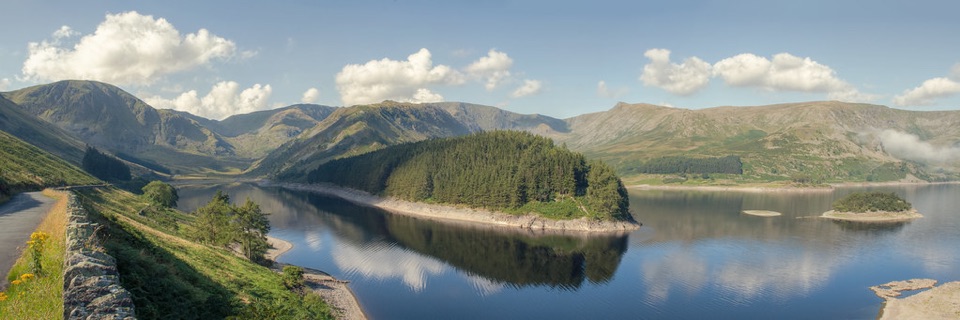 Sight · 10.6 km awayHaweswater ReservoirA remote mountain reservoir where quiet paths meet the High Street fells
Parkwolf’s Lake District ranking

The audio tour guide for the drive, plus offline maps, trails, and wildlife heatmaps for when the signal drops.




