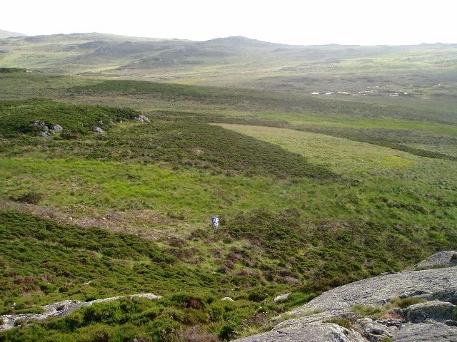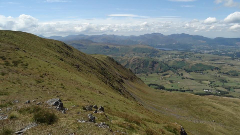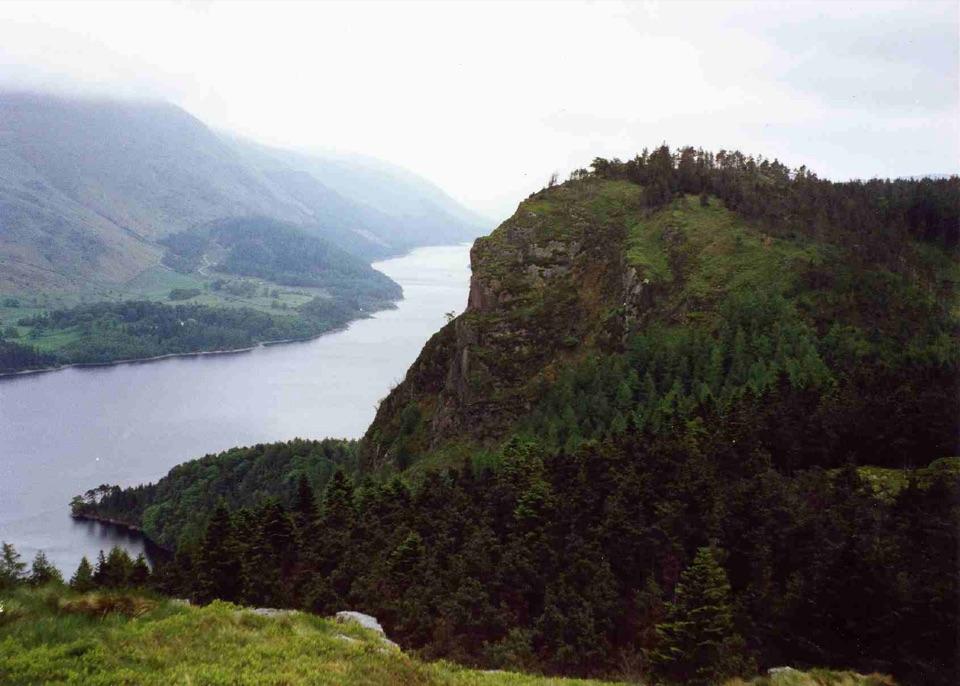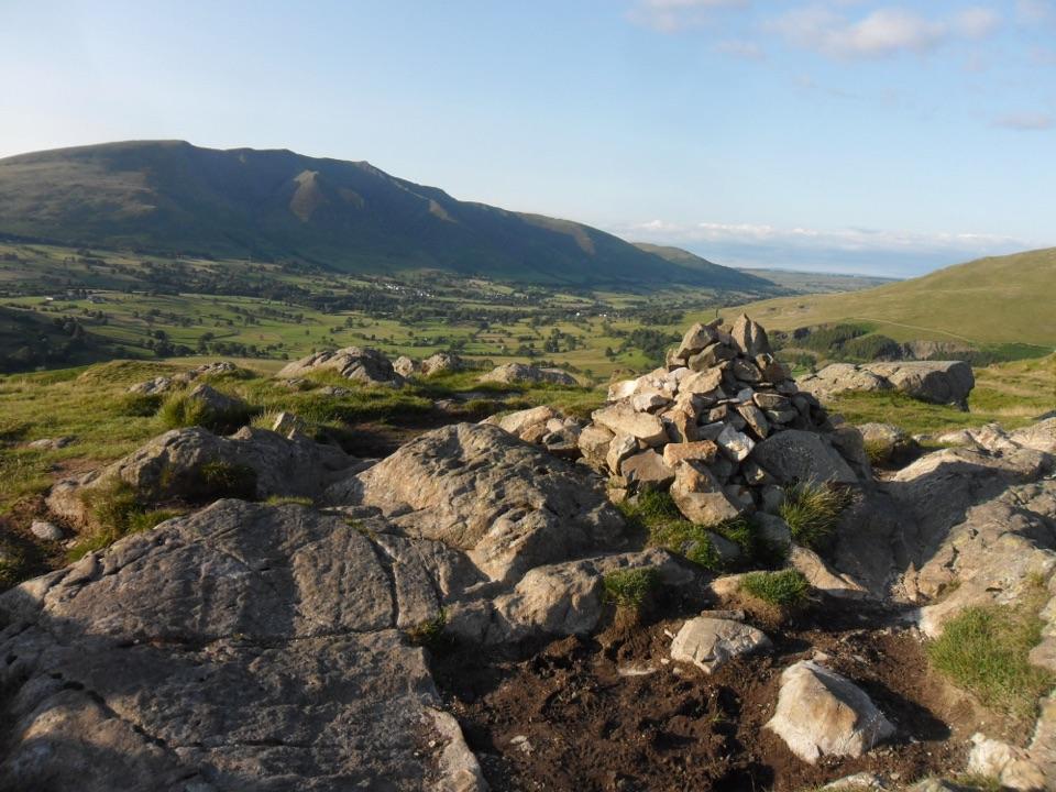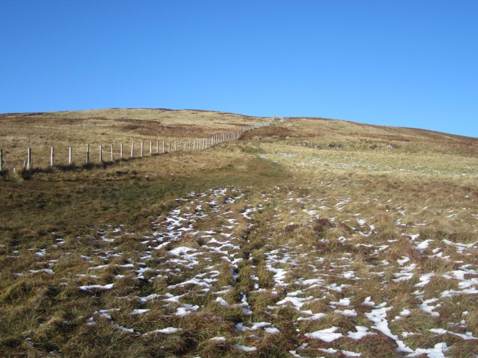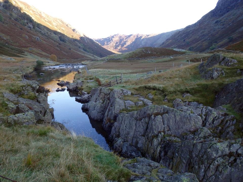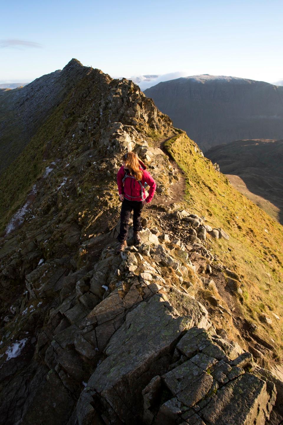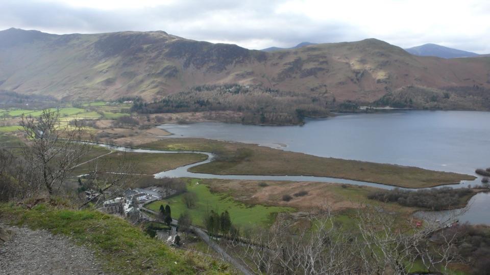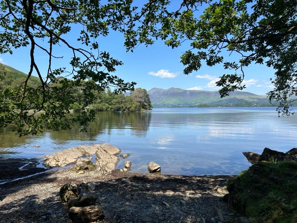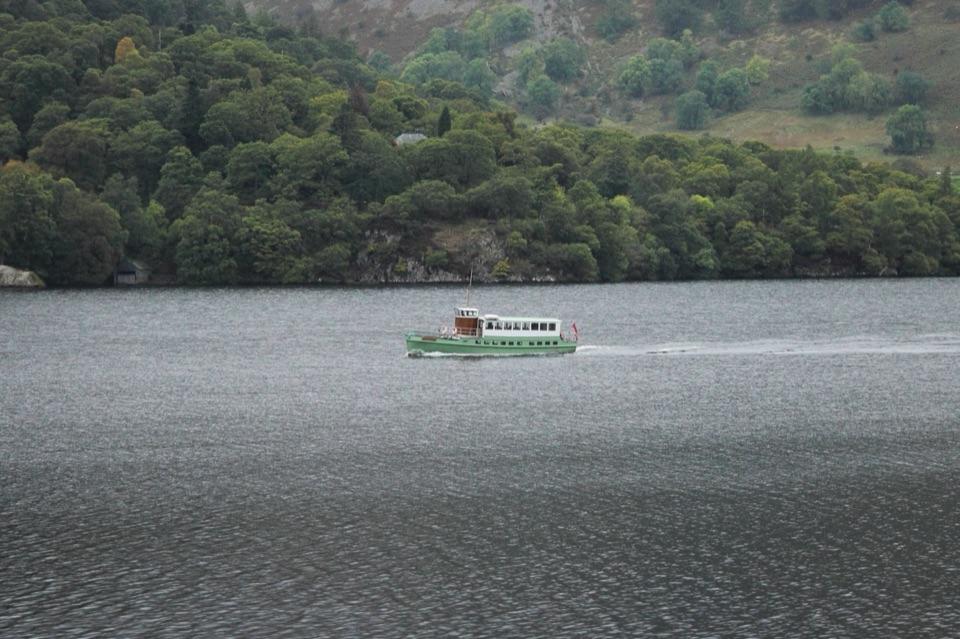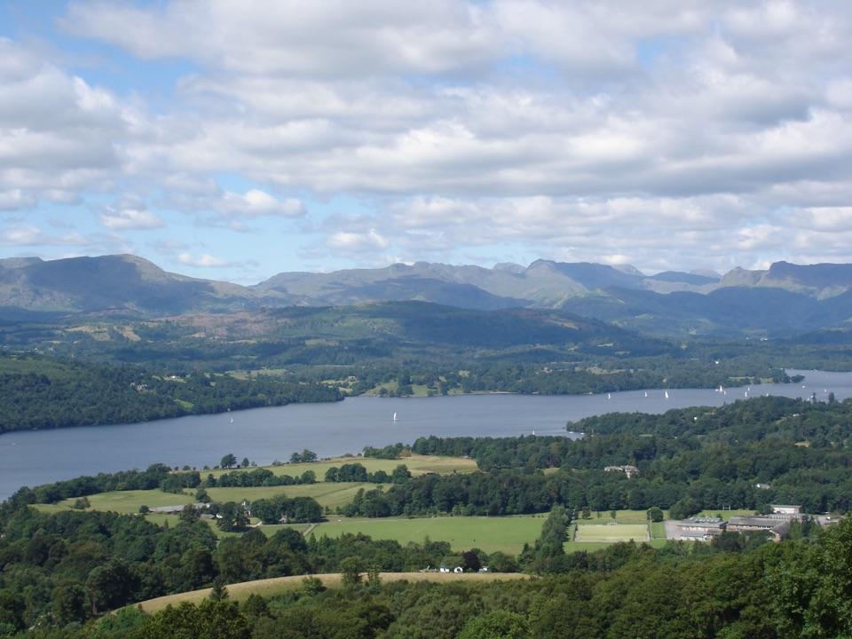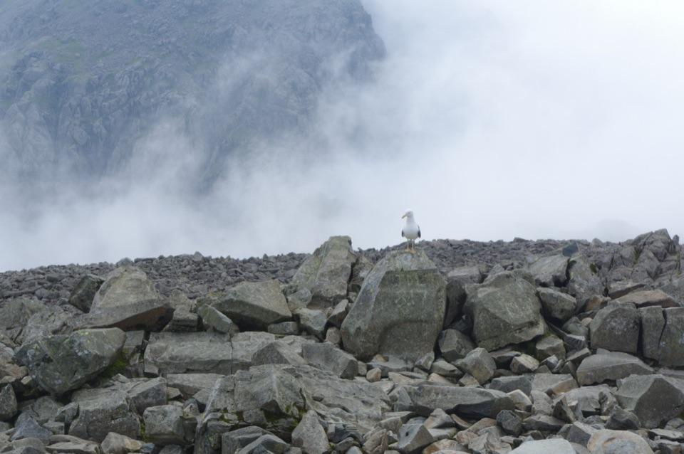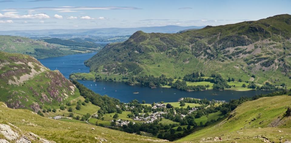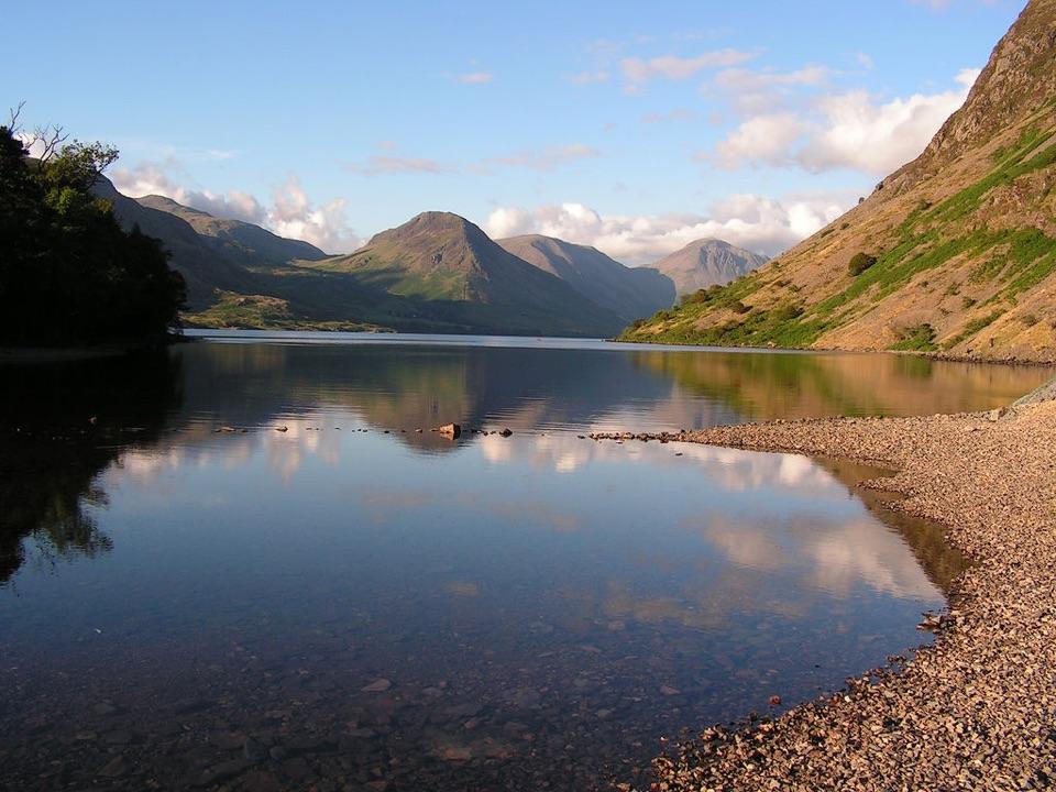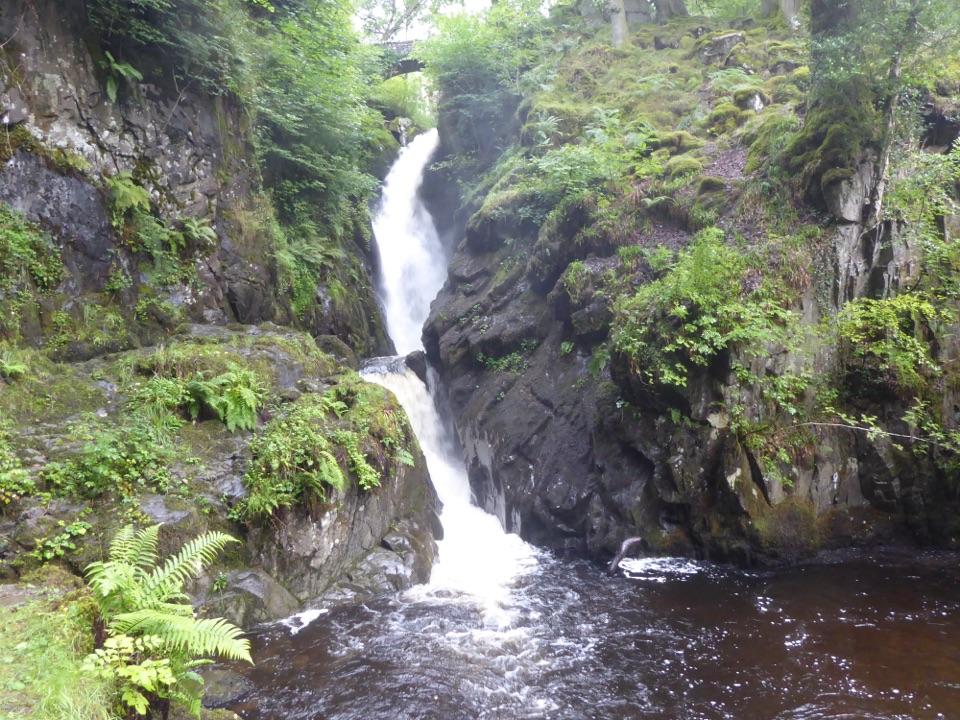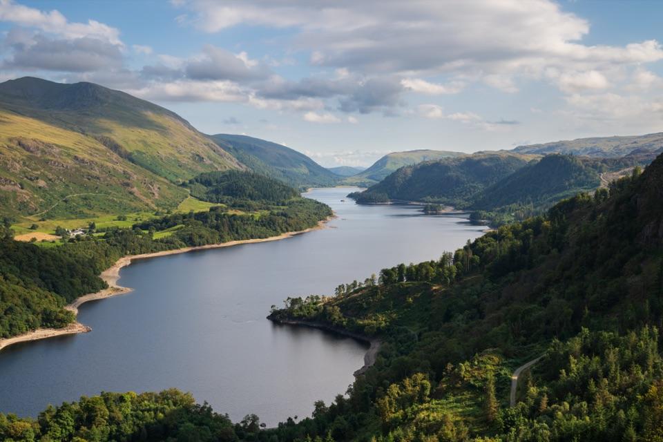
Thirlmere in Lake District National Park

Sight · Lake District National Park

Thirlmere

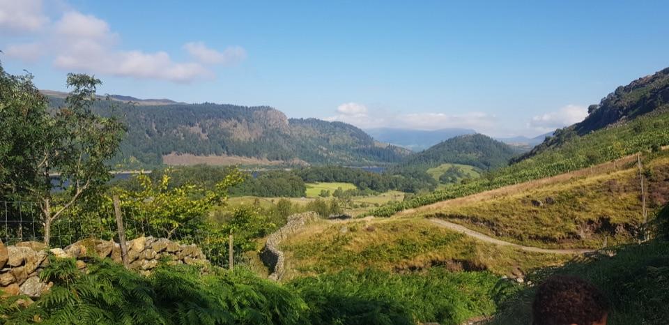
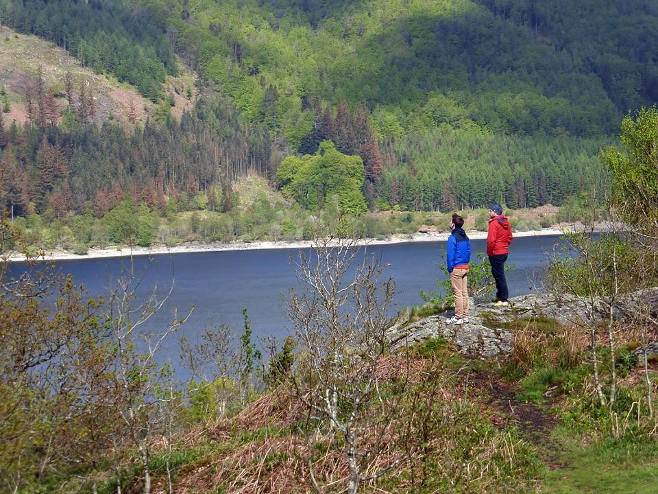
A long, dark reservoir framed by Helvellyn and wooded fells.

Photo: Julian Herzog, CC BY-SA 4.0

Type
Sight
Nearest trail
0.8 km
Audio stories
5 nearby
  • Parking
  • Restrooms
  • Picnic tables

Hear the audio tour

Thirlmere and Swirls: Lakeside or High Ridge
Download Parkwolf on the App StoreGet Parkwolf on Google Play

4.7 from 8,600+ ratings

Overview

About Thirlmere

Why stop

  • Dramatic Helvellyn-and-water views
  • Easy to pair with a longer fell walk

Heads up

  • Many viewpoints are roadside or reached by wet, uneven paths
The west shore is the more rewarding side for seeing the lake at close range, while the A591 gives the classic through-the-valley reveal. From the north, the dam and surrounding slopes create a strong sense of scale; higher walks toward Raven Crag or Helvellyn open wider views back over the reservoir. This makes Thirlmere a good scenic pause and a useful base for a bigger fell walk, but not a substitute for those summits.
Parkwolf’s verdictWhat makes it worth a stop

Map

Where it is

Loading the Lake District map
Full map
SightThirlmere54.53577, -3.06040
Keep this map with you offline in the Parkwolf app

Plan your stop

Before you go

Planning your visit

For a short walk, start at Swirls on the A591. The park authority's 1.4 km Swirls Trail goes under the road and through Station Coppice to a picnic bench overlooking the water. It is graded accessible for many rather than all: there is a short steep section, and the path beyond the signed end becomes rougher. Swirls has parking and accessible toilets. Other parking and walking access points are spread around the valley, but the shoreline is not one continuous, flat promenade. Paths can be wet, uneven, steep, or tree-covered, and a longer circuit takes much more time than a quick photo stop. Swimming and paddleboarding are not allowed on Thirlmere; the park authority permits canoes, kayaks and sailing boats, but not powered craft.


8 active Lake District alerts

  • ClosureAnglers’ Crag path closes intermittently for repairsFootpath 407024 and the adjoining unrecorded way over Anglers’ Crag on Ennerdale Water’s southern shore close intermittently for repairs; follow signs to check whether the path is open.Official details
  • ClosureWhinlatter paths close intermittently for forestry workSections of Bridleway 201006 in Thornthwaite Forest and Footpath 201044 at Beckstones Gill close intermittently for forestry thinning; follow signs, as the paths are open when closures are not in…Official details
See all 8 alerts
A park ranger sits on a dash-mounted phone, talking, as Parkwolf’s Tour Guide plays “Army Cutworm Moths: A Grizzly Bear Buffet” on Grand Loop Road below Dunraven Pass in Yellowstone
Parkwolf Tour GuideThe highest, rockiest slopes around here are a summer buffet for grizzly bears.

Lake District Tour Guide

Your drive to Thirlmere, narrated.

Parkwolf is a GPS audio tour guide for Lake District National Park. As you drive, it chimes in with what’s ahead: hidden gems, upcoming stops, history, geology, and wildlife, right through your car’s speakers.

See the Lake District audio tour

Recorded for this place

Thirlmere and Swirls: Lakeside or High Ridge
0:00 / 0:37
“Swirls car park is coming up beside Thirlmere. For a short break, follow the path through the road underpass and Station Coppice to the picnic bench overlooking the reservoir.”

Plays as you drive up to Thirlmere in the Parkwolf Lake District Tour Guide.

More stories near here in the app

  • Armboth: High Tove and the Rocky Tops
  • Thirlmere: Water All the Way to Manchester
  • Stanah: Sticks Pass and the Dodds
  • Raven Crag: Thirlmere from Above
  • 298 audio storiesacross Lake District’s roads, triggered by GPS as you drive
  • Wildlife heatmapsfor Red Deer, Eurasian Otter, Osprey, and 13 more
  • Works offlinemaps, 265 trails, 90 places, and audio download before you lose signal
  • CarPlay readysimple controls built for the drive
★★★★★
“Fantastic app with many points of information… It’s great to just turn on while you’re driving and it gives you an audio tour of the national Park. We love it!!!!”
JMJamesApp Store review
Download Parkwolf on the App StoreGet Parkwolf on Google Play

4.7 from 8,600+ ratings

Guide

More about Thirlmere

A reservoir in a mountain corridorThirlmere is a long, dark reservoir tucked between the central fells, with Helvellyn rising on…

Thirlmere is a long, dark reservoir tucked between the central fells, with Helvellyn rising on the east side and wooded slopes dropping to the water. It is not a single viewpoint or developed lakeside attraction; the appeal is the changing relationship between the water, forest, and steep valley walls as you move along the roads and paths.

A lake shaped by engineeringThirlmere was originally two smaller waters, Leathes Water and Wythburn Water, linked by a…

Thirlmere was originally two smaller waters, Leathes Water and Wythburn Water, linked by a stream and a causeway bridge. Manchester Corporation’s late-19th-century works raised them to create the reservoir, flooding a hamlet and pub; its aqueduct carried water towards Manchester. That history is part of the place's character: the wooded shoreline and quiet mountain setting sit alongside a large working water-supply scheme.

Wildlife

Wildlife in Lake District

All Lake District wildlife maps

Sighting maps show where each species has been reported across Lake District. Wildlife moves, so no sighting is guaranteed.

Keep exploring

Near Thirlmere

See it all on the map

Trails nearby

More stops nearby

Parkwolf’s Lake District ranking

Top sights in Lake District

All 90 places
  1. 1WindermereSight
  2. 2Scafell PikeSight
  3. 3UllswaterSight
  4. 4DerwentwaterSight
  5. 5Wast WaterSight
  6. 6Aira ForceSight

Take Parkwolf to Lake District.

The audio tour guide for the drive, plus offline maps, trails, and wildlife heatmaps for when the signal drops.

4.7 from 8,600+ ratings

Download Parkwolf on the App StoreGet Parkwolf on Google Play