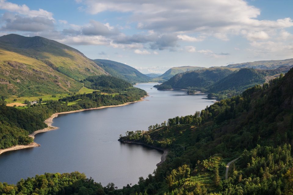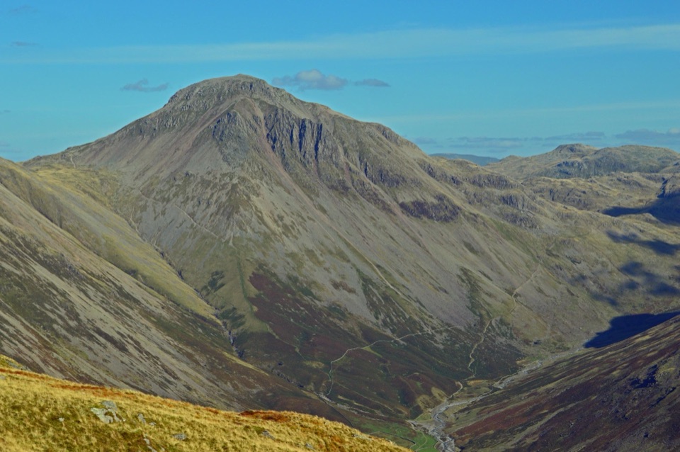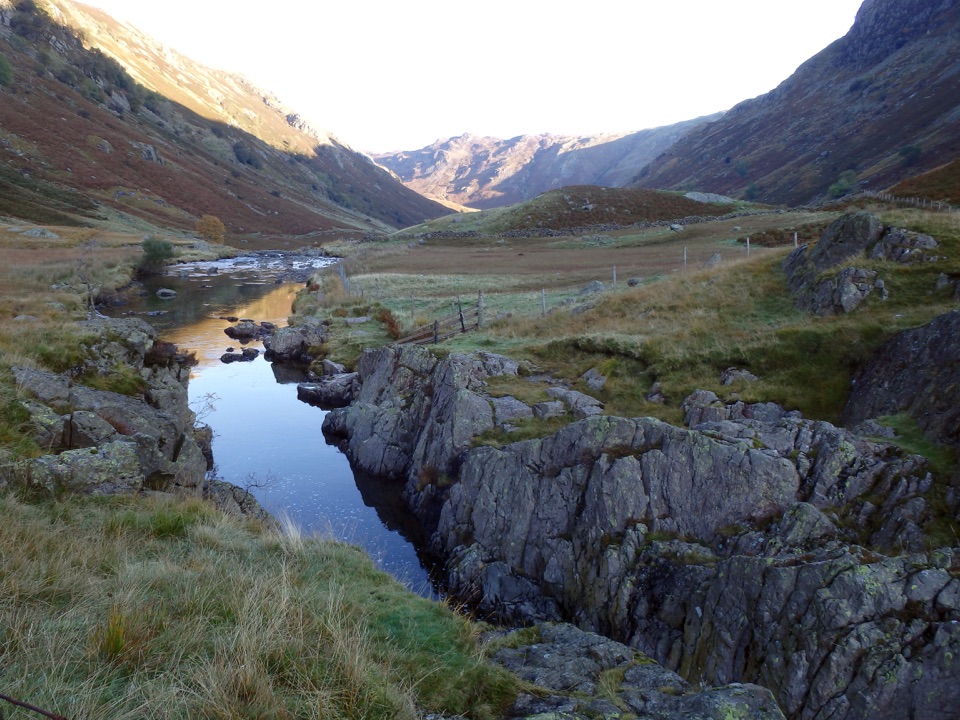
Black Moss Pot and Galleny Force in Lake District National Park

Lake District National Park, EN

Black Moss Pot and Galleny Force

A rough valley walk to a deep swimming pot and waterfall

Photo: Wikimedia Commons
Length
6.8km
Time
2.3hr
Elev. change
113m
Difficulty
Moderate
  • Dogs allowed
  • High point 213 m
  • #77 of 265 in Lake District

Hear the audio tour

Stonethwaite: Galleny Force and Black Moss Pot

Overview

About Black Moss Pot and Galleny Force

Why go

  • Galleny Force and Black Moss Pot in one compact valley walk
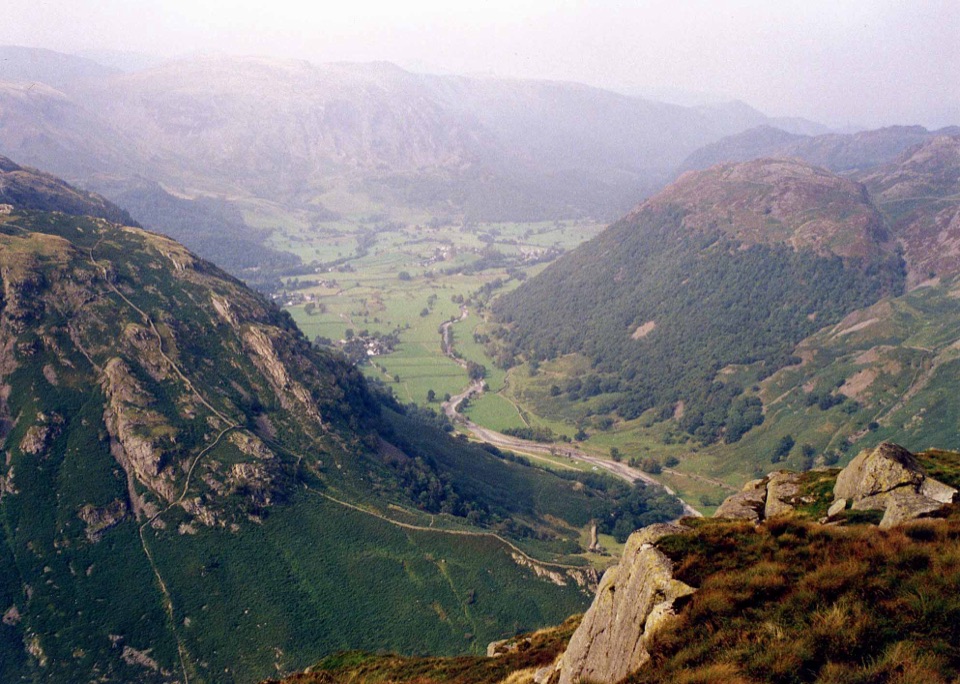
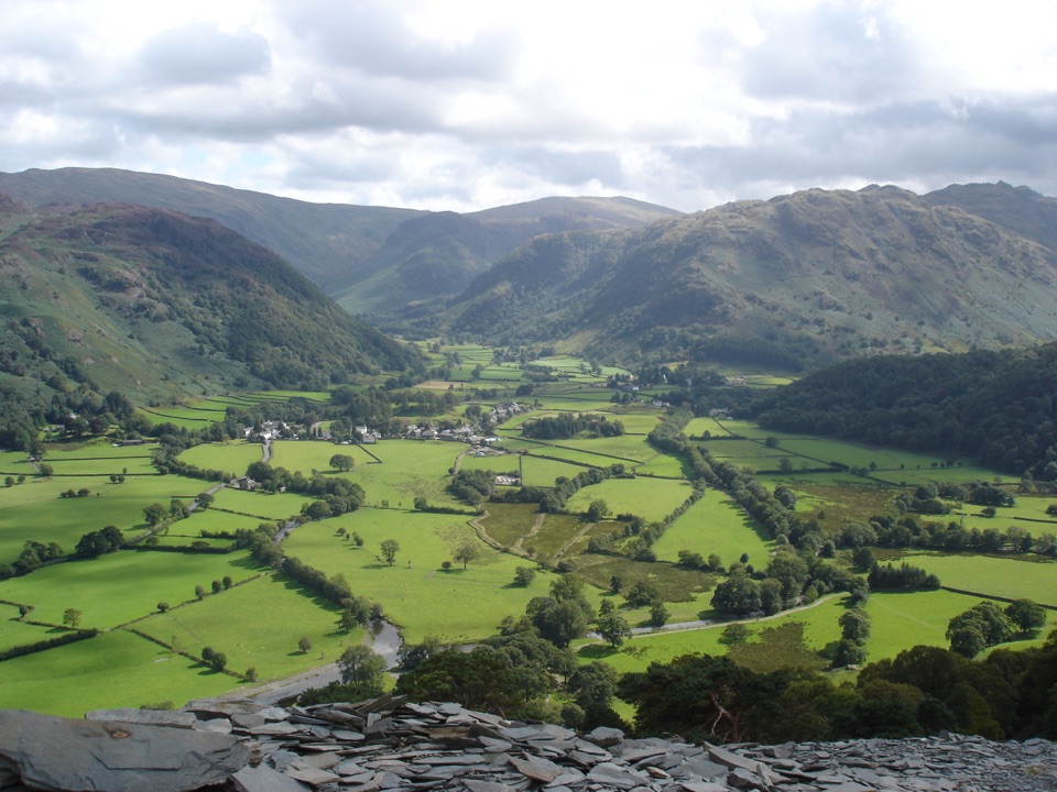
  • Big fell scenery without committing to a summit route

Heads up

  • Very limited parking at the tiny starting village
  • Rough, wet footing and deep water at the destination
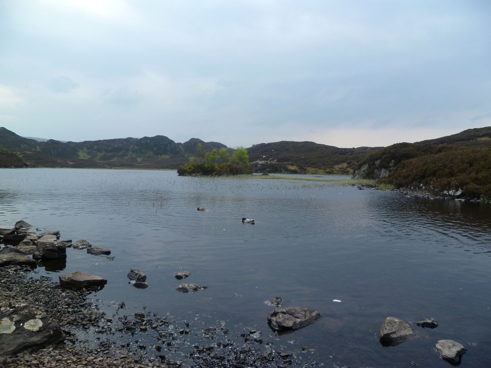
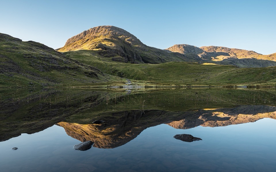
Galleny Force is a worthwhile halfway stop, especially when the water is running, and Black Moss Pot is a striking final destination for confident wild swimmers. The gorge can stay shaded even on a bright day, so direct sun later in the day gives the pool more colour for photographs. This is a popular destination in fine weather, and the small valley access can feel busy at peak times. Late spring through early autumn is the most forgiving season; wet, icy, or high-water conditions make the rocks, crossings, and water edges considerably less friendly.
Parkwolf’s verdictThe payoff and the tradeoff

Map & elevation

The route

Loading the Lake District map
Full map
Elevation100–213 m
TrailheadBlack Moss Pot and Galleny Force54.51279, -3.13987
Keep this map with you offline in the Parkwolf app

Plan your hike

Before you go

Parking

Use the small number of spaces by Stonethwaite’s red phone box or another clearly legal space before the village. Never block lanes, gates, passing places, or access to homes. If those spaces are full, the National Trust car park at Rosthwaite is the more reliable fallback, but walking from there adds distance that is not included in this trail’s 4.2-mile figure.


Safety

Black Moss Pot is deep, cold, and enclosed by steep rock sides. Stay out of the water below waterfalls, keep children and dogs well back from the edges, and do not cliff-jump without independently checking depth and landing conditions. The route also has rough rocks, wet ground, and stream crossings that become more difficult after heavy rain or in icy weather.

8 active Lake District alerts

  • ClosureChapel Stile footpath closed for retaining-wall riskPart of Footpath 543030 between Chapel Stile and Baysbrown campsite is closed because a retaining wall beside the path could collapse and material it supports could fall across the footpath.Official details
  • ClosureStanley Ghyll Lower Falls footpath closed for rockfallThe section of Footpath 408037 leading towards Stanley Ghyll Lower Falls is closed because severe rockfall damage has made the path unstable and further rockfall remains a danger.Official details
See all 8 alerts
A park ranger sits on a dash-mounted phone, talking, as Parkwolf’s Tour Guide plays “Army Cutworm Moths: A Grizzly Bear Buffet” on Grand Loop Road below Dunraven Pass in Yellowstone
Parkwolf Tour GuideThe highest, rockiest slopes around here are a summer buffet for grizzly bears.

Lake District Tour Guide

Your drive to Black Moss Pot and Galleny Force, narrated.

Parkwolf is a GPS audio tour guide for Lake District National Park. As you drive, it chimes in with what’s ahead: hidden gems, upcoming stops, history, geology, and wildlife, right through your car’s speakers.

Recorded for this trailhead

Stonethwaite: Galleny Force and Black Moss Pot
0:00 / 1:02
“You're coming up on Stonethwaite, where a walk into Langstrath brings you to Galleny Force and the deep pool of Black Moss Pot.”

Plays as you drive up to this trailhead in the Parkwolf Lake District Tour Guide.

More stories near here in the app

  • Rosthwaite: Dock Tarn and Great Crag
  • Seatoller: Castle Crag or Waterfall Walk
  • Seathwaite and the Corridor Route
  • Bowder Stone: A Woodland Giant
  • 298 audio storiesacross Lake District’s roads, triggered by GPS as you drive
  • Wildlife heatmapsfor Red Deer, Eurasian Otter, Osprey, and 13 more
  • Works offlinemaps, 265 trails, 89 places, and audio download before you lose signal
  • CarPlay readysimple controls built for the drive
★★★★★
“Fantastic app with many points of information… It’s great to just turn on while you’re driving and it gives you an audio tour of the national Park. We love it!!!!”
JMJamesApp Store review
Download Parkwolf on the App StoreGet Parkwolf on Google Play

4.7 from 8,600+ ratings

Trail guide

Hiking Black Moss Pot and Galleny Force

The routeThis is a 4.

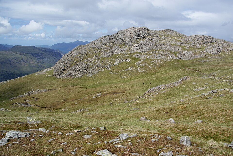
This is a 4.2-mile out-and-back from Stonethwaite to Black Moss Pot, with Galleny Force on the approach. The distance is the complete round trip, while the stored map draws the physical path once. From the village, pass the Langstrath Inn and campsite, then follow Langstrath Beck through open fell country. Galleny Force and several smaller pools arrive first; the rougher track continues beside the beck to the deep, rock-walled pot before returning the same way.

What it feels likeAllow about two to two and a half hours for the walk, with extra time if you plan to swim or…

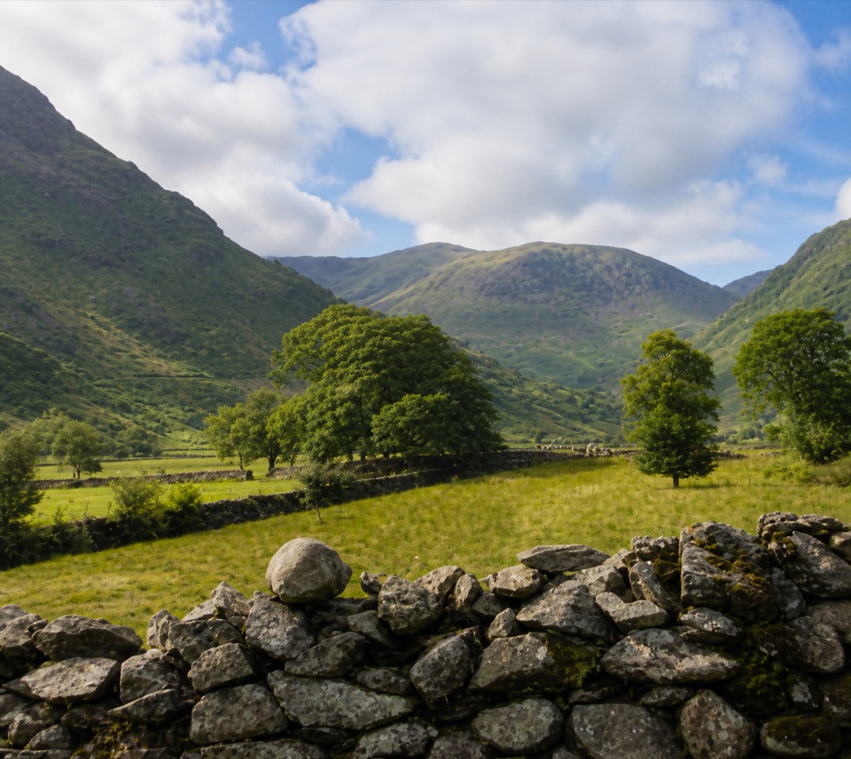
Allow about two to two and a half hours for the walk, with extra time if you plan to swim or linger at the falls. The climb is modest overall, around 150 m on the mapped corridor, but the surface is stony and uneven, with wet patches and occasional awkward stream crossings after heavy rain. The valley opens onto high fells and crags, while the waterfall and pool provide the memorable stops. For a longer day, continue with an established Langstrath or Rosthwaite circuit rather than treating this short route as a fell summit walk.

Access and dogsThe walk starts in tiny Stonethwaite, where parking near the red phone box is very limited.

The walk starts in tiny Stonethwaite, where parking near the red phone box is very limited. Dogs may use the route, but this is grazing country and the pot has steep rock sides, so keep them close and well back from the water’s edge. No permit is normally needed for the public path.

Wildlife

Wildlife in Lake District

All Lake District wildlife maps

Sighting maps show where each species has been reported across Lake District. Wildlife moves, so no sighting is guaranteed.

Keep exploring

Near Black Moss Pot and Galleny Force

See it all on the map

Trails that start nearby

Places near the trailhead

Parkwolf’s Lake District ranking

Top-rated trails in Lake District

All 265 trails
  1. 1Scafell Pike via Hollow Stones from WasdaleChallenging · 9 km
  2. 2Helvellyn via Striding Edge and Swirral EdgeChallenging · 12.4 km
  3. 3CatbellsModerate · 6.6 km
  4. 4The Old Man of ConistonChallenging · 9 km
  5. 5Buttermere CircularEasy · 7.6 km
  6. 6The Fairfield HorseshoeChallenging · 17.2 km

Take Parkwolf to Lake District.

The audio tour guide for the drive, plus offline maps, trails, and wildlife heatmaps for when the signal drops.

4.7 from 8,600+ ratings

Download Parkwolf on the App StoreGet Parkwolf on Google Play