Parking
Use the roadside access at the end of the public road by Seathwaite Farm. Spaces are limited; park considerately and keep the farm entrance, field entrances and emergency access clear.
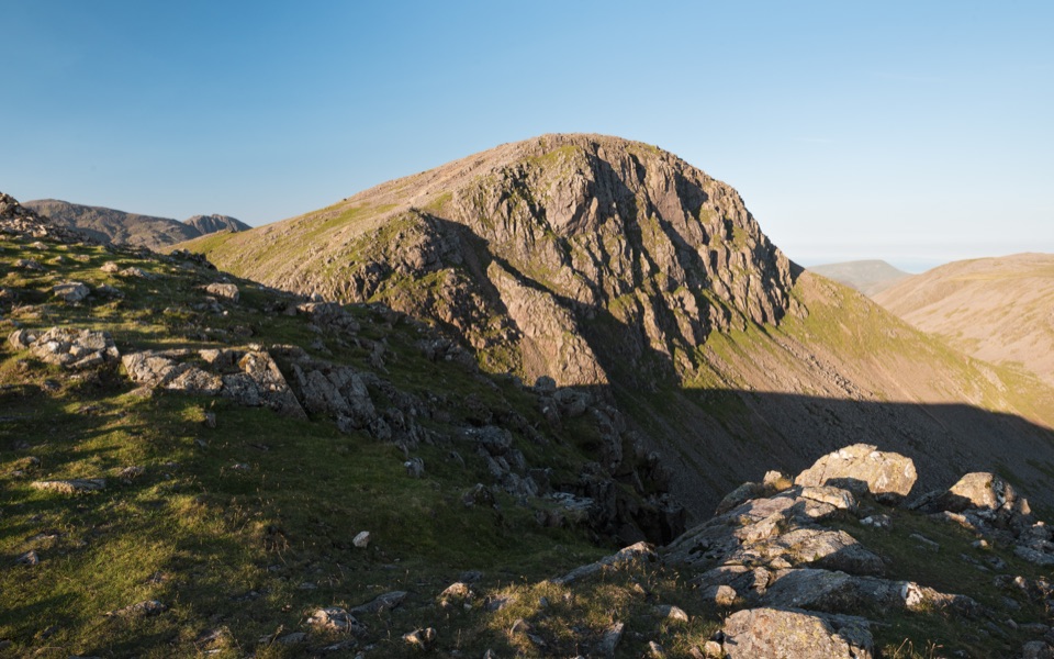
Lake District National Park, EN
Four summits, scrambling and tarns on a hard 7.3-mile Borrowdale circuit
Overview
A circular loop from Seathwaite Farm, 7.3 miles (11.7 km) for the complete circuit with about 1,014 m of ascent. Allow around 6.5 hours for planning; strong parties moving well have done it in just over 4 hours. This is a hard, expert-level mountain day rather than a walk to fit around other plans.
Map & elevation
Plan your hike

The highest, rockiest slopes around here are a summer buffet for grizzly bears.
Lake District Tour Guide
Parkwolf is a GPS audio tour guide for Lake District National Park. As you drive, it chimes in with what’s ahead: hidden gems, upcoming stops, history, geology, and wildlife, right through your car’s speakers.
Recorded for this trailhead
Seathwaite and the Corridor Route“You're approaching Seathwaite, the starting point for the Corridor Route up Scafell Pike.”
Plays as you drive up to this trailhead in the Parkwolf Lake District Tour Guide.
More stories near here in the app
“Fantastic app with many points of information… It’s great to just turn on while you’re driving and it gives you an audio tour of the national Park. We love it!!!!”


Trail guide
The climb starts beside the cascades of Sour Milk Gill, then works up to Base Brown before the steady pull to Green Gable. From there the route drops to Windy Gap and climbs the final rocky section to the summit of Great Gable, the high point of the day. The descent runs down to Sty Head, past Sprinkling Tarn, over the Seathwaite Fell Wainwright summit, then back down to Stockley Bridge and the valley road.
Expect loose rock, blocky steps and hands-on minor scrambling on Great Gable, plus an exposed terraced path where a slip would matter. The ground above Sty Head is often boggy, and the descent from Seathwaite Fell is faint to pathless across rough grass, so you need to hold a line by map and compass. There is a stream crossing that can be awkward. Carry water from the valley, since sources high on the route are limited.
The waterfalls low down give way to wide fell panoramas from Base Brown and Green Gable. Great Gable brings the crags of the Great Napes and the summit memorial plaque, and the return leg passes Styhead Tarn and Sprinkling Tarn with open views back toward Seathwaite and out in the direction of Keswick.
Underfoot the mountain is rough blocky rock with long runs of loose scree on the steeper flanks, while the tops of Base Brown and Seathwaite Fell are grassier and more rounded. That contrast explains the sudden change in walking speed between the rocky central section and the soft, uneven ground on the way down.
Parking is limited roadside at the end of the Seathwaite road and fills quickly at weekends and on holidays. Park considerately and never block the farm entrance or emergency access. The Great Gable and Sty Head sections are popular, while Base Brown and Seathwaite Fell see far fewer people.
Dogs are legally allowed on this public access route, but it is a difficult outing for them: scrambling steps, rock obstacles and a tricky stream crossing all need lifting or a detour. Consider a shorter valley walk instead. If you want another big day from the same valley, Scafell Pike from Seathwaite is a separate nearby option.
Wildlife
 81 sightingsRed DeerMost seen around 7 PMSighting map
 13 sightingsEurasian OtterMost seen around 6 AMSighting map
 76 sightingsOspreyMost seen around 8 AMSighting map
 51 sightingsEuropean BadgerMost seen around 8 PMSighting map
 233 sightingsMute SwanMost seen around 6 PMSighting map
 176 sightingsGrey HeronMost seen around 7 AMSighting map
Sighting maps show where each species has been reported across Lake District. Wildlife moves, so no sighting is guaranteed.
Keep exploring
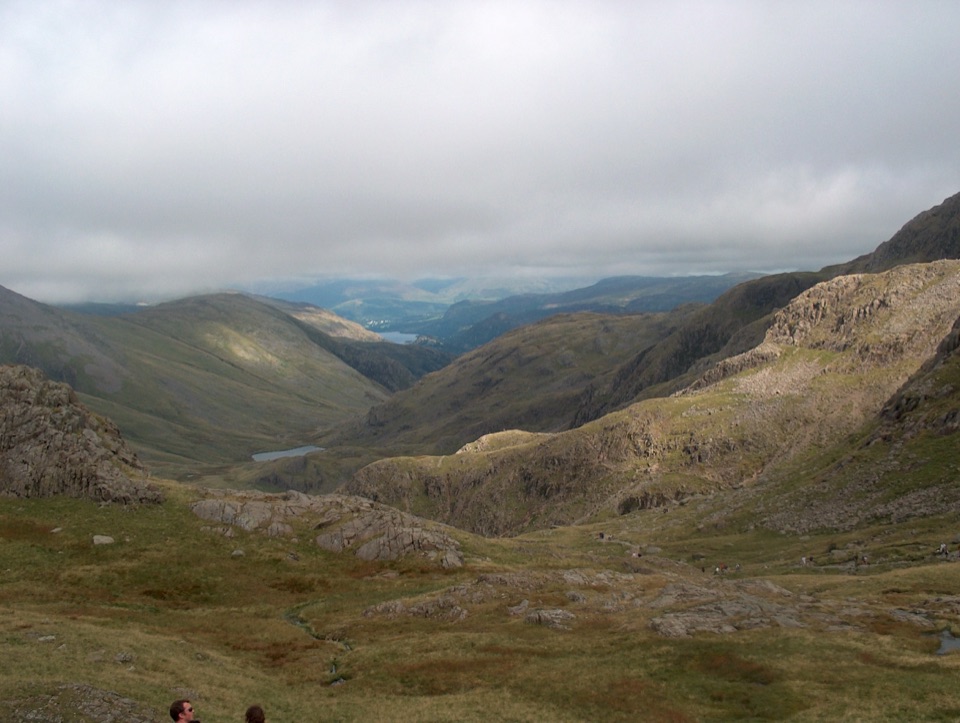 ChallengingScafell Pike from Seathwaite via the Corridor Route15.1 km · 6 hr · At the trailheadLedges under Great End, a hands-on Bad Step, then England's high point
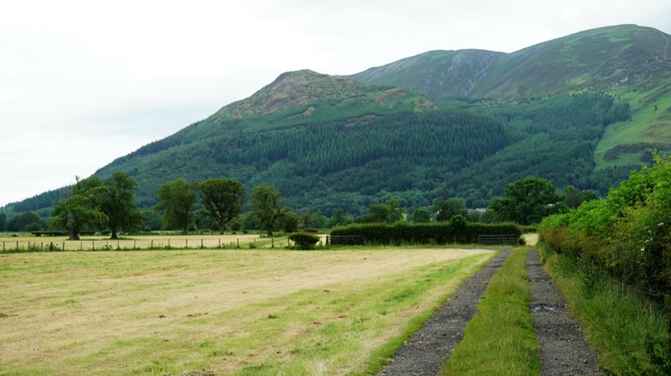 ChallengingAllerdale Ramble80.5 km · 23 hr · 0.1 km awayFell tops to Solway saltmarsh on a 50-mile unmarked coast-bound trek
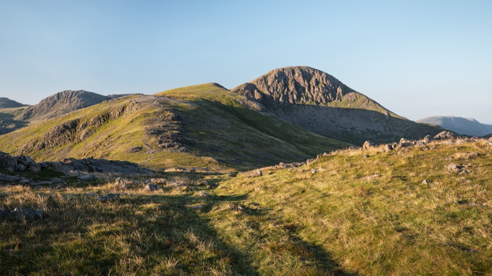 ChallengingGreat Gable from Honister Pass10.5 km · 4.5 hr · 1.7 km awayFour rocky summits, big valley views, and a serious high fell day
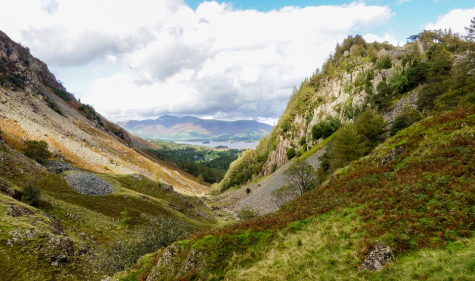 EasyDownstream to Derwent Walk, Borrowdale and Derwent Water7.5 km · 2 hr · 1.7 km awayDownhill from slate country to Borrowdale riverside and Grange Bridge
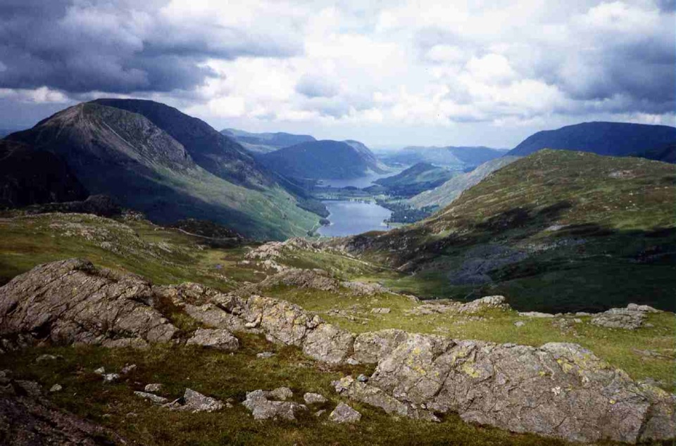 ModerateGrey Knotts and Brandreth Circular7.6 km · 3.3 hr · 1.7 km awayRocky fell tops, old mine workings, and wide views over Buttermere
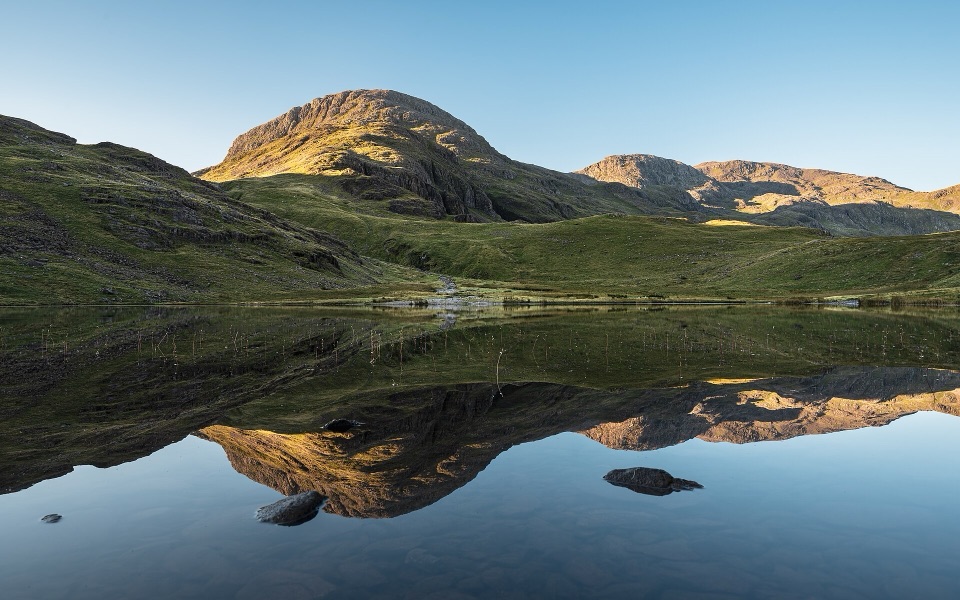 ChallengingSeatoller, Styhead Tarn and Grains Gill Walk13.4 km · 5 hr · 1.9 km awayTwo high tarns and a rugged fell circuit above Borrowdale
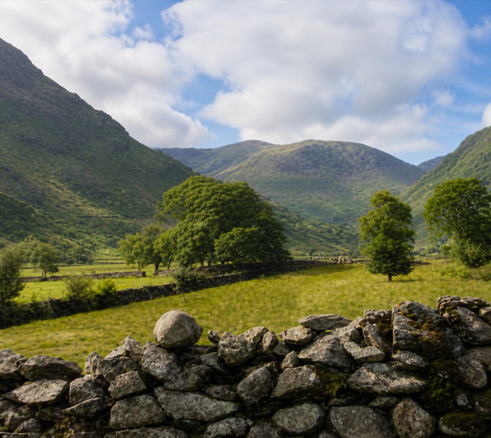 EasyThorneythwaite Farm Picnic and Waterfall Walk3.7 km · 1.2 hr · 1.9 km awayA short farm-to-fell walk ending at a waterfall beneath Coombe Crag
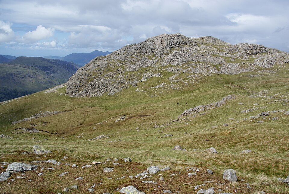 ChallengingThe Glaramara Wainwrights16.6 km · 6.5 hr · 1.9 km awayThree Wainwright summits across a rough, pathless ridge
 Sight · 1.7 km awayHonister Slate MineExplore England's last working slate mine beneath a mountain pass
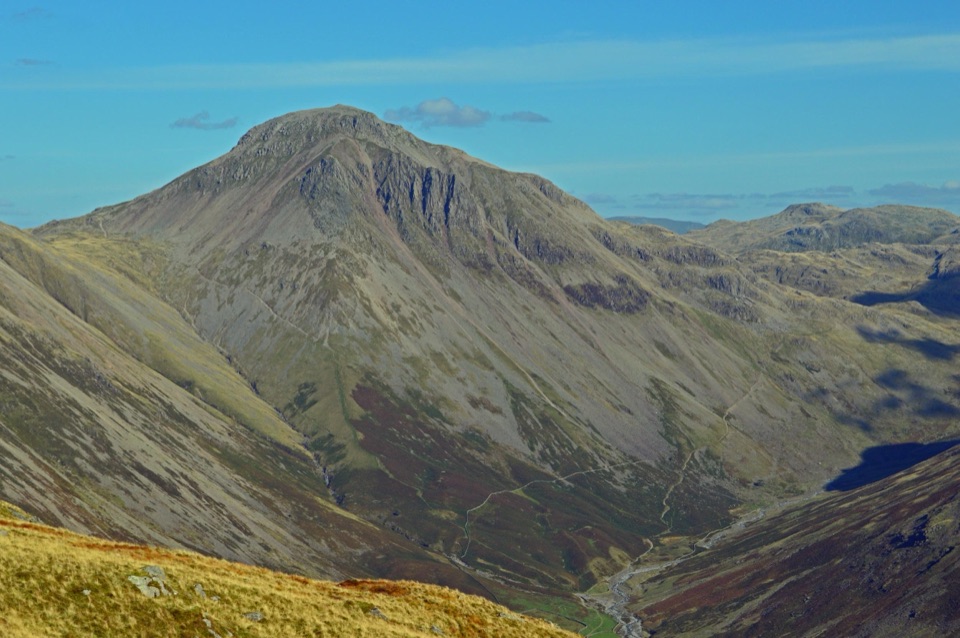 Sight · 3.1 km awayGreat GableA rocky summit with wide views and a storied climbing heritage
 Sight · 4.6 km awayThe Bowder StoneA 2,000-tonne boulder balanced above a woodland path
 Sight · 5.3 km awayScafell PikeEngland's highest summit, reached over a rough, weathered boulder field
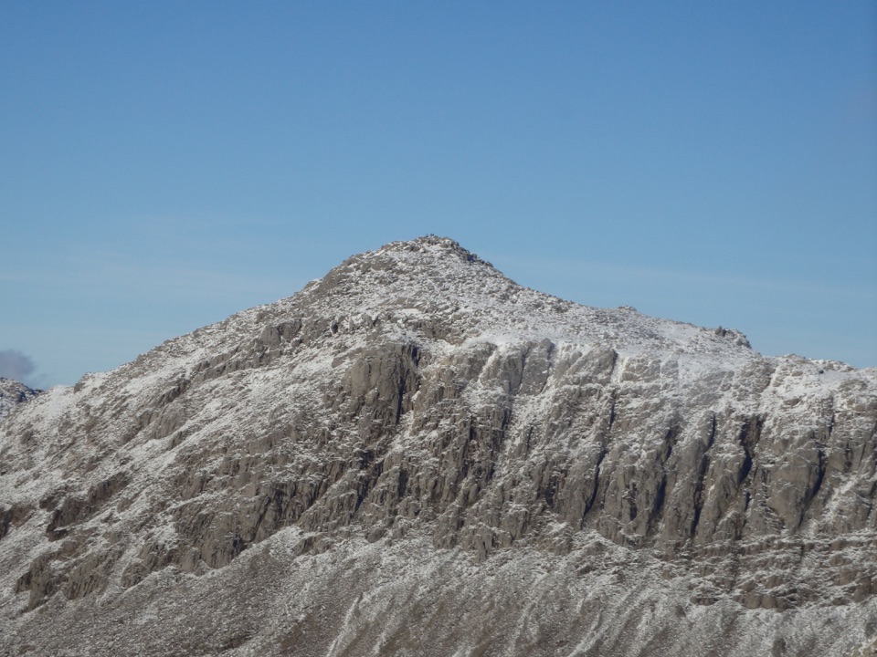 Sight · 5.8 km awayBowfellA rocky summit above Langdale, with the Scafells spread beyond
 Sight · 6.4 km awayButtermereA calm mountain lake ringed by high fells and an easy circuit
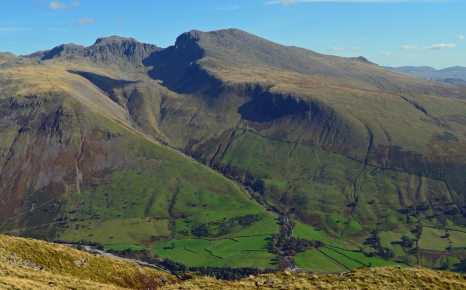 Sight · 6.4 km awayScafellA rugged high summit with big views over Wastwater and Eskdale
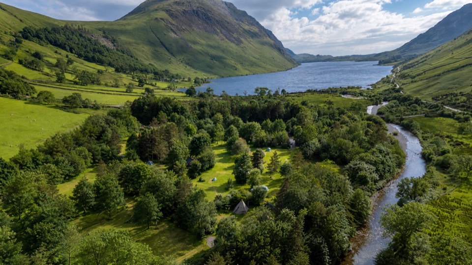 Campground · 7 km awayWasdale CampsiteA riverside base for Scafell Pike and the Wasdale valley
Parkwolf’s Lake District ranking

The audio tour guide for the drive, plus offline maps, trails, and wildlife heatmaps for when the signal drops.





