Parking
Use the National Trust car park at Rosthwaite near the village hall; the adjacent Borrowdale Institute car park is an alternative. Bus 78 serves Rosthwaite.
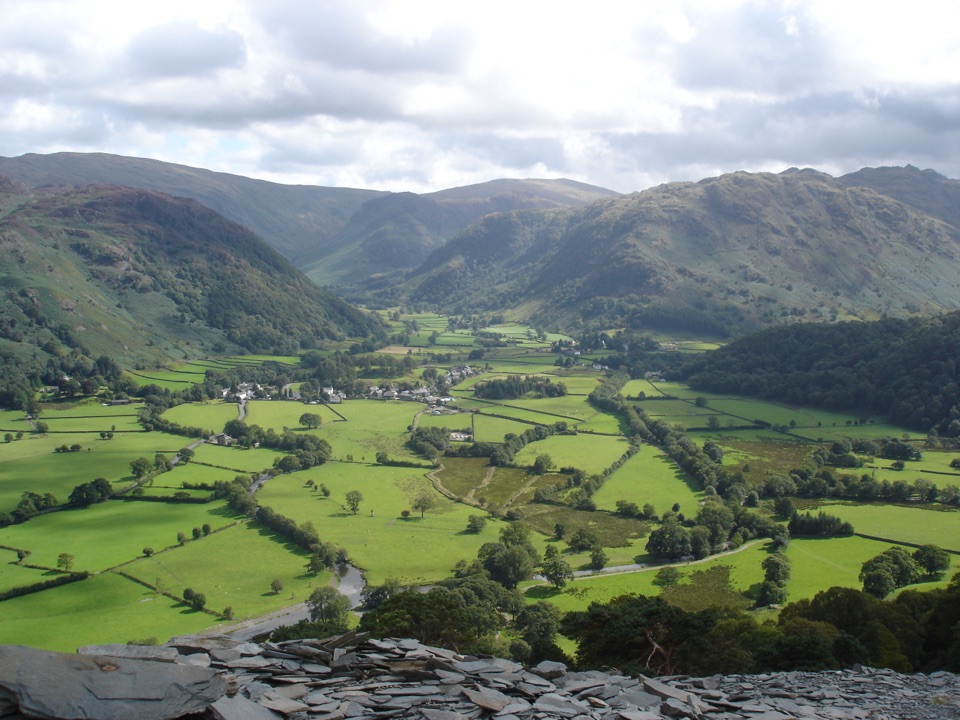
Lake District National Park, EN
Riverside path to a hermit's cave, then loose slate to Castle Crag
Overview
Map & elevation
Plan your hike

The highest, rockiest slopes around here are a summer buffet for grizzly bears.
Lake District Tour Guide
Parkwolf is a GPS audio tour guide for Lake District National Park. As you drive, it chimes in with what’s ahead: hidden gems, upcoming stops, history, geology, and wildlife, right through your car’s speakers.
Recorded for this trailhead
Rosthwaite: Dock Tarn and Great Crag“Rosthwaite is coming up ahead, a starting point for a walk to Dock Tarn, Watendlath and the rocky top of Great Crag.”
Plays as you drive up to this trailhead in the Parkwolf Lake District Tour Guide.
More stories near here in the app
“Fantastic app with many points of information… It’s great to just turn on while you’re driving and it gives you an audio tour of the national Park. We love it!!!!”


Trail guide
A 6.5 km / 4.0 mile loop from Rosthwaite that links the River Derwent, Millican Dalton's cave and the quarried top of Castle Crag. Rated moderate at 5/10: the valley walking is easy, but the cave approach and the summit climb are narrow, rocky and loose, with short hands-on scrambling and exposed edges near the top.
The cave is a there-and-back detour off the main track. Do not try to link it directly to the summit: the ground between them is dangerous. Drop back down to the established path and start the ascent properly. The cave itself was Millican Dalton's summer home for close to fifty years in the first half of the twentieth century, and he styled himself the Professor of Adventure.
Slate is the theme here, and wet slate is genuinely slippery. Expect loose spoil on the climb and descent, steep rocky steps, a scramble to reach the cave, and vertical cliff edges around the summit workings. Boots with grip matter more than fitness on this walk. It is not suitable for wheelchairs or buggies.
Allow 2.5 to 3 hours with stops and photographs; faster recorded times are not a sensible plan. Start from the National Trust car park at Rosthwaite near the village hall, with the adjacent Borrowdale Institute car park as an alternative. Bus 78 serves the village. Dogs are allowed on these public footpaths and bridleways, but keep them under close control or on a short lead near livestock, and hold them close on the crag where the edges are sheer. There is no guaranteed water or shade on the route; refreshments are available in Rosthwaite.
The payoff is the contrast: mossy, fern-hung Borrowdale woodland and the Derwent below, then a summit of broken slate with long views over Rosthwaite and the surrounding fells. Early and late light works best for the valley and the top. The cave is dark and close, so plan for low light rather than sweeping shots.
The Castle Crag walk starting from Seatoller is a bigger day at around 8 km, with rolling contour paths and a riverside return. It is a different route with a different feel, not an extension of this one.
Wildlife
 81 sightingsRed DeerMost seen around 7 PMSighting map
 13 sightingsEurasian OtterMost seen around 6 AMSighting map
 76 sightingsOspreyMost seen around 8 AMSighting map
 51 sightingsEuropean BadgerMost seen around 8 PMSighting map
 233 sightingsMute SwanMost seen around 6 PMSighting map
 176 sightingsGrey HeronMost seen around 7 AMSighting map
Sighting maps show where each species has been reported across Lake District. Wildlife moves, so no sighting is guaranteed.
Keep exploring
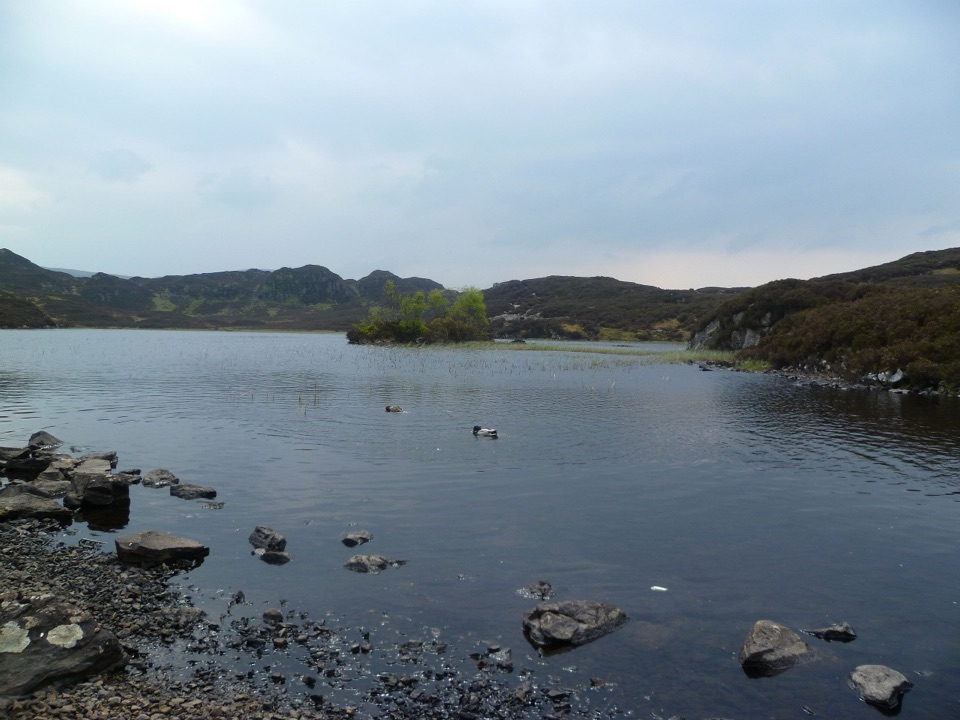 ModerateDock Tarn, Great Crag and Watendlath Loop8.4 km · 4 hr · At the trailheadTwo tarns, a rocky summit, and a proper Lakeland leg-stretcher
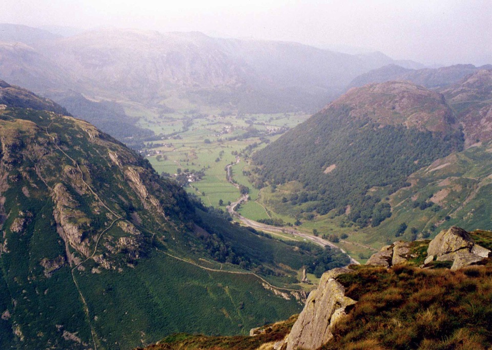 ChallengingEagle Crag, Sergeant's Crag and Ullscarf14.6 km · 6.5 hr · 1.2 km awayA rough fell loop from scrambling crags to a lonely high plateau
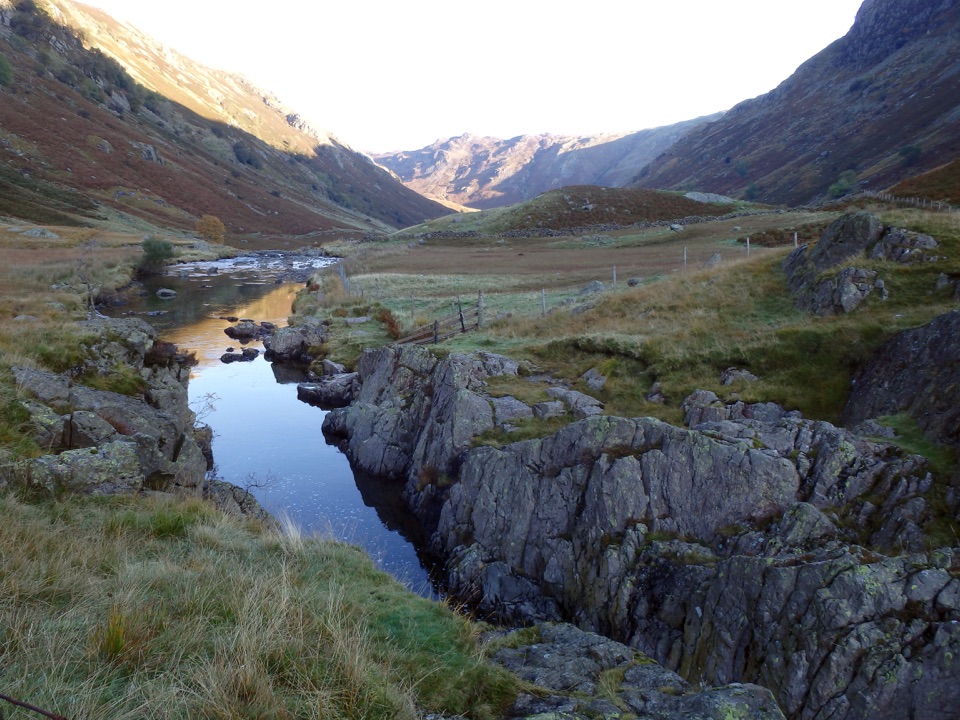 ModerateBlack Moss Pot and Galleny Force6.8 km · 2.3 hr · 1.3 km awayA rough valley walk to a deep swimming pot and waterfall
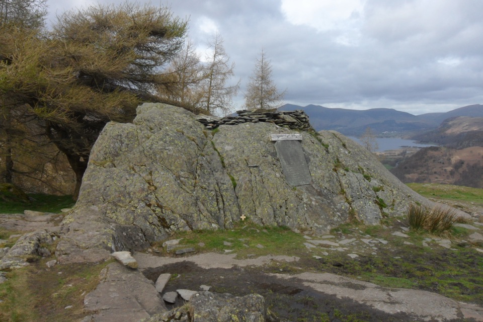 ModerateCastle Crag from Seatoller8 km · 3.5 hr · 1.6 km awayTerrace paths above Borrowdale to a slate-spoil summit and river woods
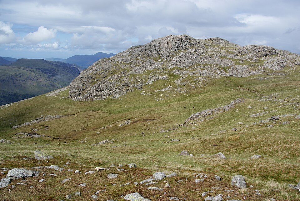 ChallengingThe Glaramara Wainwrights16.6 km · 6.5 hr · 1.6 km awayThree Wainwright summits across a rough, pathless ridge
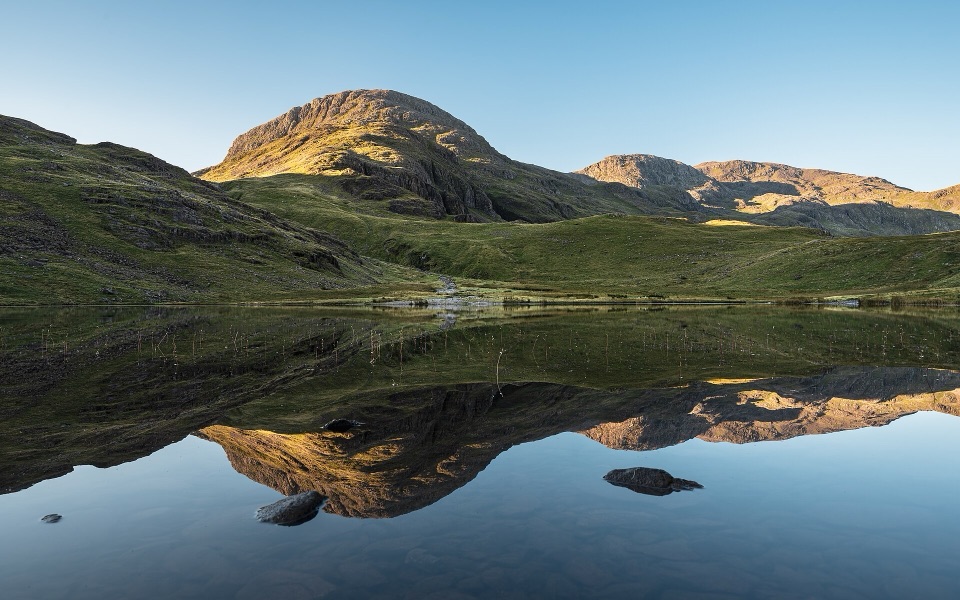 ChallengingSeatoller, Styhead Tarn and Grains Gill Walk13.4 km · 5 hr · 1.6 km awayTwo high tarns and a rugged fell circuit above Borrowdale
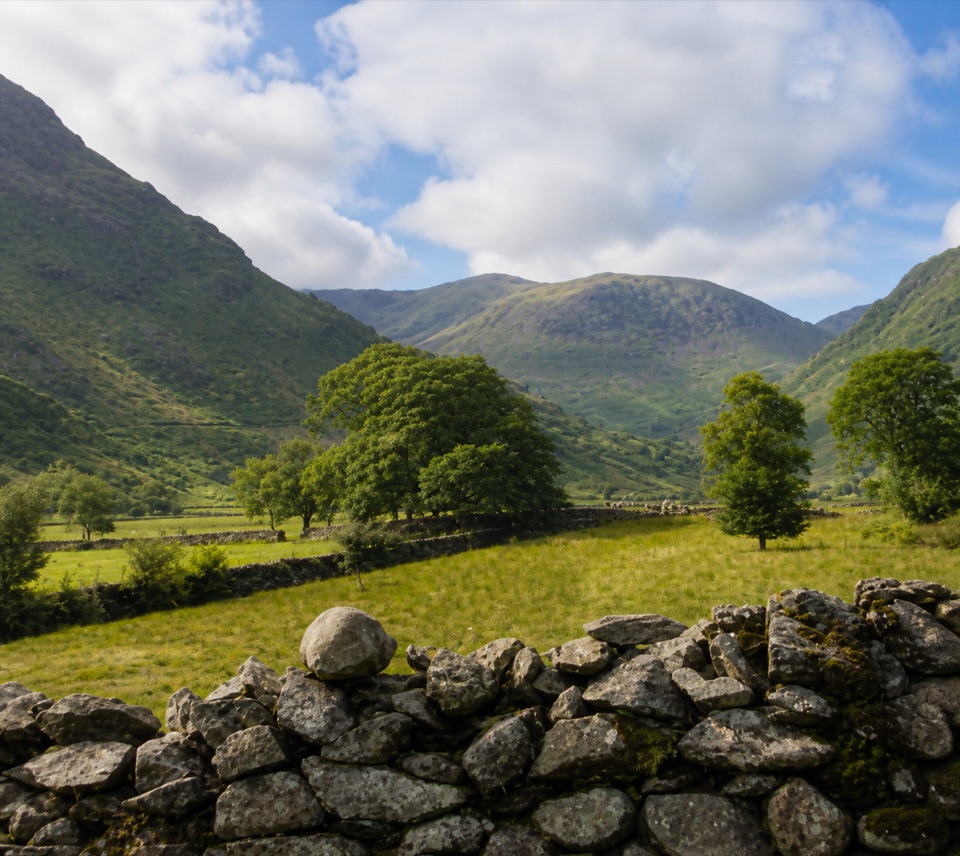 EasyThorneythwaite Farm Picnic and Waterfall Walk3.7 km · 1.2 hr · 1.6 km awayA short farm-to-fell walk ending at a waterfall beneath Coombe Crag
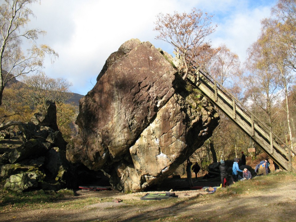 EasyBowder Stone Trail0.9 km · 30 min · 2 km awayTen minutes of gravel and woodland to a 30-foot balanced boulder
 Sight · 1.6 km awayThe Bowder StoneA 2,000-tonne boulder balanced above a woodland path
 Sight · 3.6 km awayHonister Slate MineExplore England's last working slate mine beneath a mountain pass
 Sight · 3.9 km awayLodore FallsA wooded ravine where Watendlath Beck tumbles toward Derwentwater
 Sight · 4.3 km awaySurprise ViewA cliff-edge panorama over Derwentwater, islands, and Borrowdale
 Sight · 5 km awayAshness BridgeAn 18th-century packhorse bridge above a rushing Borrowdale beck
 Sight · 5.2 km awayCat BellsA short rocky climb to a huge Derwentwater panorama
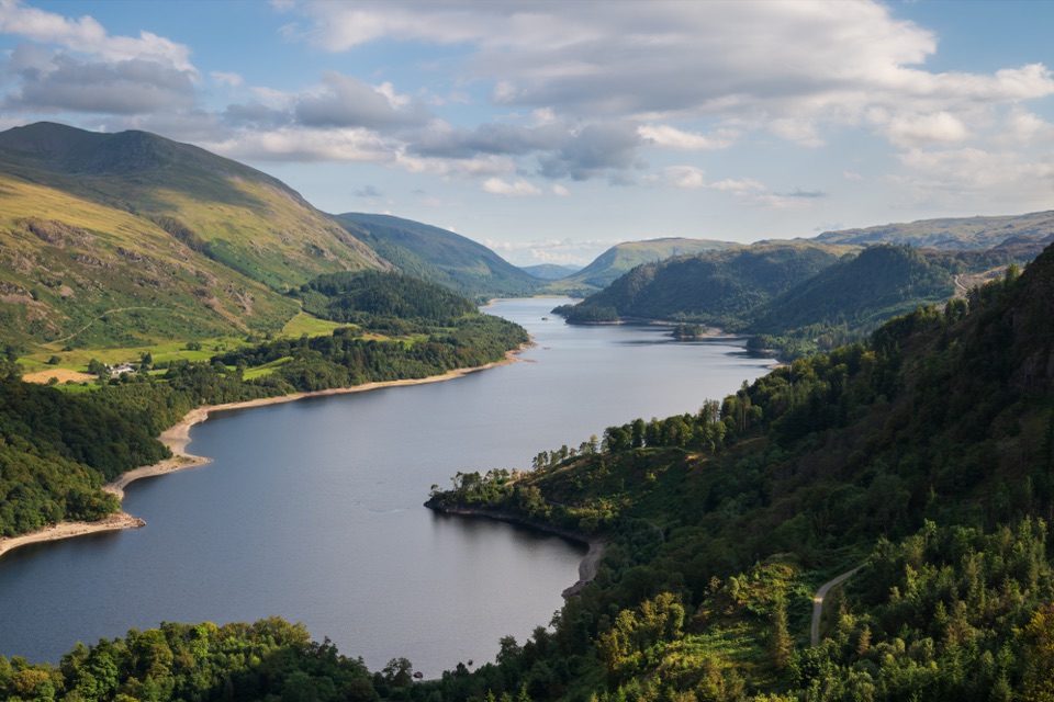 Sight · 5.8 km awayThirlmereA long, dark reservoir framed by Helvellyn and wooded fells.
 Sight · 6.1 km awayDerwentwaterA mountain lake with islands, wooded shores, and classic fell views
Parkwolf’s Lake District ranking

The audio tour guide for the drive, plus offline maps, trails, and wildlife heatmaps for when the signal drops.





