Parking
Start at the National Trust car park in Seatoller, on the left as you enter the hamlet from the B5289. Toilets are at the car park. The route also passes near facilities in Rosthwaite and Longthwaite.
Lake District National Park, EN
Terrace paths above Borrowdale to a slate-spoil summit and river woods
Overview
Map & elevation
Plan your hike

The highest, rockiest slopes around here are a summer buffet for grizzly bears.
Lake District Tour Guide
Parkwolf is a GPS audio tour guide for Lake District National Park. As you drive, it chimes in with what’s ahead: hidden gems, upcoming stops, history, geology, and wildlife, right through your car’s speakers.
Recorded for this trailhead
Seatoller: Castle Crag or Waterfall Walk“Up ahead is Seatoller, where you can leave the car for a walk through Borrowdale to Castle Crag. My pick here is the five-mile Castle Crag loop from the National Trust car park, taking around three and a half hours.”
Plays as you drive up to this trailhead in the Parkwolf Lake District Tour Guide.
More stories near here in the app
“Fantastic app with many points of information… It’s great to just turn on while you’re driving and it gives you an audio tour of the national Park. We love it!!!!”


Trail guide
This is a closed loop of 5 miles (8 km), the rounded official figure and the one stored here. Follow every mapped twist of the footpaths plus the out-and-back spur to the top and it measures nearer 5.3 miles, which is the same route rather than a different one. Allow around 3.5 hours, with the official window running from 3 hours to 4 hours 15 minutes depending on how long you linger on the summit.
Start from the Seatoller car park, walk through the hamlet and take the track uphill. After the stream, take the middle path up to the wall, then follow the contour path along the flank of the valley high above Borrowdale. Cross Tongue Gill, carry on past the first opening view down to Derwent Water, then take the sheep-track fork and the ladder stile. From there a short zigzag path climbs Castle Crag over loose slate quarry spoil to the top. Retrace the summit path back to the ladder area, take the alternate descent into the wood, then join the River Derwent past Rosthwaite and Longthwaite, through Johnny Wood, and back to Seatoller. Millican Dalton's Cave is a signed optional spur and is not part of the recorded main line.
Rated moderate, 5 out of 10. There is no sustained high mountain crossing, but the climbs are short and steep and the ground is rough. Expect uneven rock, pitched stone steps, and a summit ascent where the slate spoil can shift underfoot. On the riverside return there is one very short rocky section with a chain to hold. Slate underfoot gets slippery after rain, so boots with decent grip make a real difference.
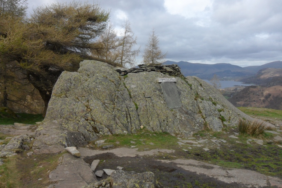
The contour path gives long views down Borrowdale, and the first sight of Derwent Water stretching north opens partway along it. The summit itself is small and airy, and holds the Hamer war memorial. Add in the River Derwent, the old quarry workings, and the damp valley woodland, and the loop covers a lot of ground types in a short distance.
Castle Crag is built of slate, and the 19th-century quarry spoil is clear to see on the climb, with grey slate heaped across the upper slopes. Juniper grows on the crag flanks, and the valley woods below are Borrowdale wet temperate rainforest, thick with moss and lichen on damp bark and boulders. Sheep graze the open ground on the approach.
Start and finish at the Seatoller National Trust car park, on the left as you come into Seatoller from the B5289. There are toilets at the car park. Dogs are welcome, but keep them on leads around livestock.
The rough ground and the loose-slate climb make this a poor choice if you want smooth, easy walking, and the short chain-assisted step by the river will not suit everyone. If the Seatoller version is more distance than you want, starting from Rosthwaite joins the same loop and saves roughly a mile.
Wildlife
 81 sightingsRed DeerMost seen around 7 PMSighting map
 13 sightingsEurasian OtterMost seen around 6 AMSighting map
 76 sightingsOspreyMost seen around 8 AMSighting map
 51 sightingsEuropean BadgerMost seen around 8 PMSighting map
 233 sightingsMute SwanMost seen around 6 PMSighting map
 176 sightingsGrey HeronMost seen around 7 AMSighting map
Sighting maps show where each species has been reported across Lake District. Wildlife moves, so no sighting is guaranteed.
Keep exploring
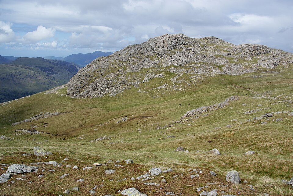 ChallengingThe Glaramara Wainwrights16.6 km · 6.5 hr · At the trailheadThree Wainwright summits across a rough, pathless ridge
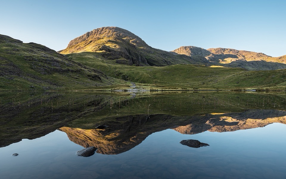 ChallengingSeatoller, Styhead Tarn and Grains Gill Walk13.4 km · 5 hr · At the trailheadTwo high tarns and a rugged fell circuit above Borrowdale
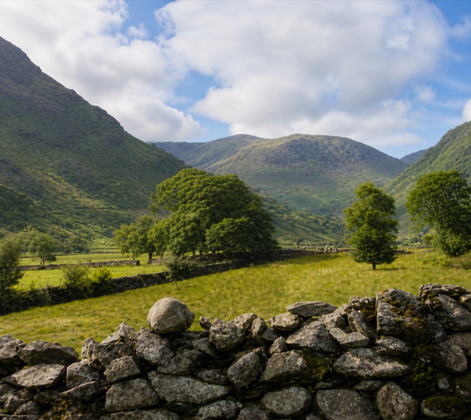 EasyThorneythwaite Farm Picnic and Waterfall Walk3.7 km · 1.2 hr · At the trailheadA short farm-to-fell walk ending at a waterfall beneath Coombe Crag
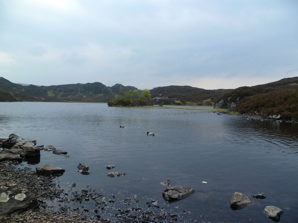 ModerateDock Tarn, Great Crag and Watendlath Loop8.4 km · 4 hr · 1.6 km awayTwo tarns, a rocky summit, and a proper Lakeland leg-stretcher
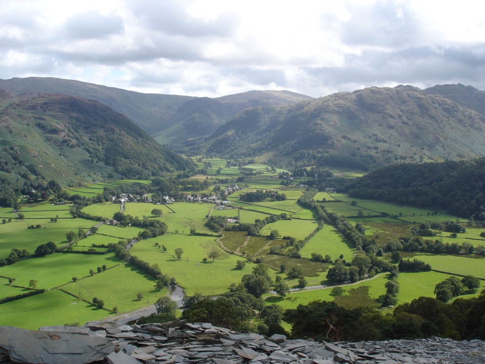 ModerateMillican Dalton's Cave and Castle Crag6.4 km · 2.8 hr · 1.6 km awayRiverside path to a hermit's cave, then loose slate to Castle Crag
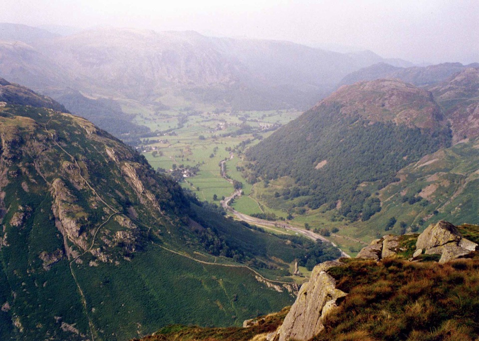 ChallengingEagle Crag, Sergeant's Crag and Ullscarf14.6 km · 6.5 hr · 1.6 km awayA rough fell loop from scrambling crags to a lonely high plateau
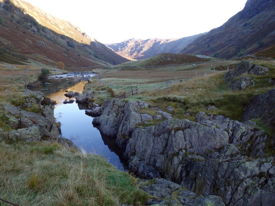 ModerateBlack Moss Pot and Galleny Force6.8 km · 2.3 hr · 1.7 km awayA rough valley walk to a deep swimming pot and waterfall
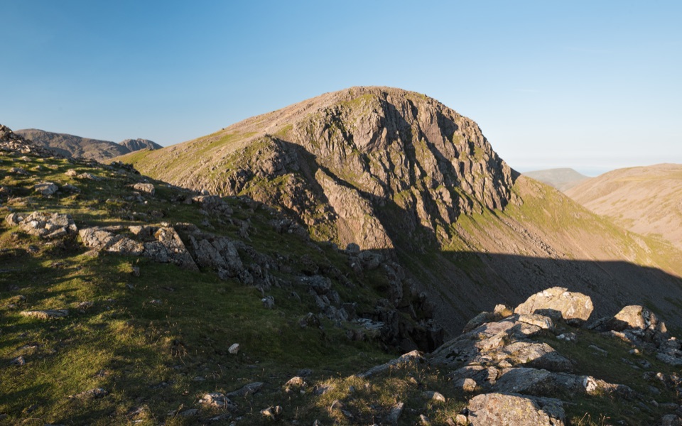 ChallengingBase Brown, Green Gable, Great Gable and Seathwaite Fell11.7 km · 6.5 hr · 1.9 km awayFour summits, scrambling and tarns on a hard 7.3-mile Borrowdale circuit
 Sight · 2.1 km awayHonister Slate MineExplore England's last working slate mine beneath a mountain pass
 Sight · 2.7 km awayThe Bowder StoneA 2,000-tonne boulder balanced above a woodland path
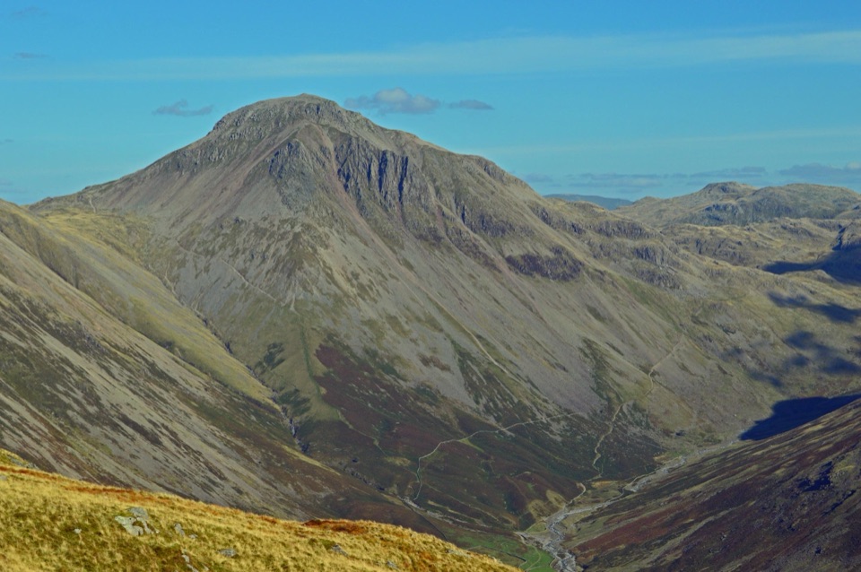 Sight · 4.9 km awayGreat GableA rocky summit with wide views and a storied climbing heritage
 Sight · 5.2 km awayLodore FallsA wooded ravine where Watendlath Beck tumbles toward Derwentwater
 Sight · 5.6 km awaySurprise ViewA cliff-edge panorama over Derwentwater, islands, and Borrowdale
 Sight · 6.1 km awayCat BellsA short rocky climb to a huge Derwentwater panorama
 Sight · 6.4 km awayAshness BridgeAn 18th-century packhorse bridge above a rushing Borrowdale beck
 Sight · 6.6 km awayButtermereA calm mountain lake ringed by high fells and an easy circuit
Parkwolf’s Lake District ranking

The audio tour guide for the drive, plus offline maps, trails, and wildlife heatmaps for when the signal drops.





