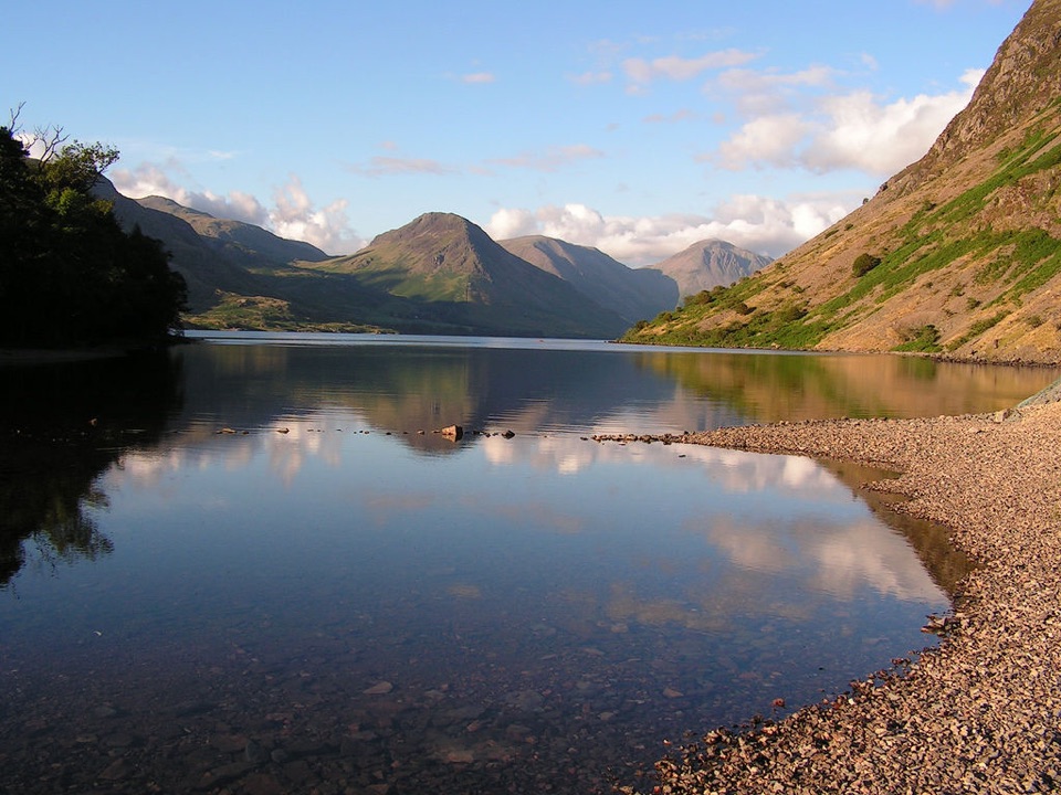
Buttermere in Lake District National Park

Sight · Lake District National Park

Buttermere

A calm mountain lake ringed by high fells and an easy circuit

Photo: Wikimedia Commons
Type
Sight
Nearest trail
1.4 km
Audio stories
3 nearby
  • Parking
  • Restrooms
  • #12 of 80 sights

Hear the audio tour

Buttermere: Lakeshore and Village

Overview

About Buttermere

Why stop

  • Full lakeshore circuit with exceptional mountain views
  • Easy, level walking for much of the route

Heads up

  • Crowds can take the edge off the quiet at peak times
  • A rough step and road section interrupt the otherwise level walk
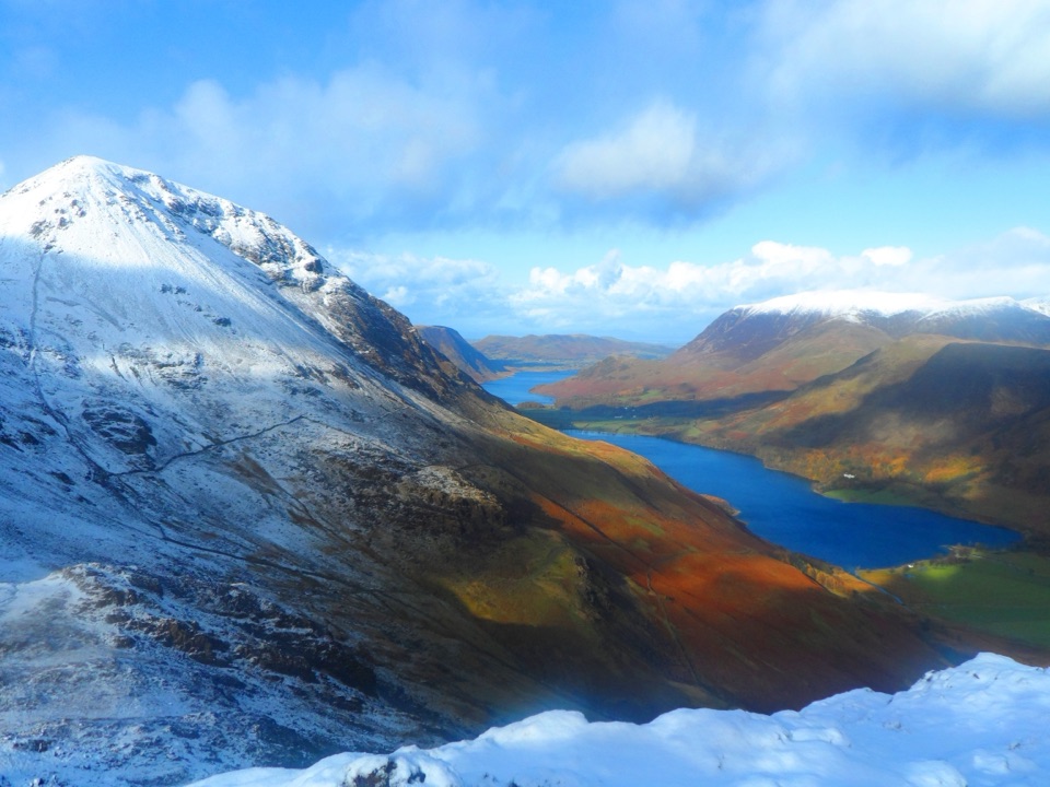
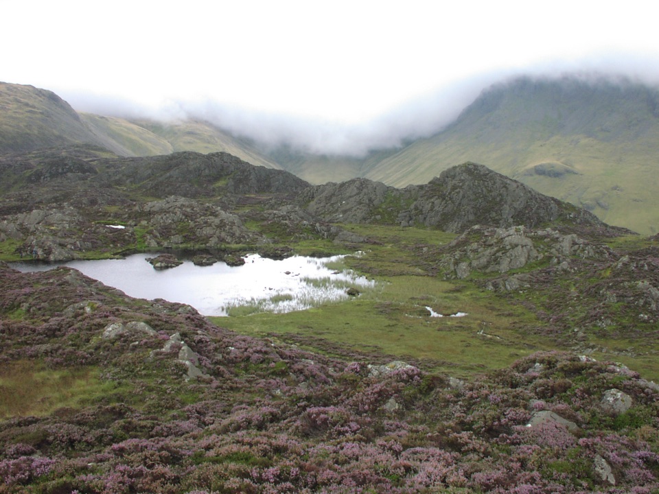
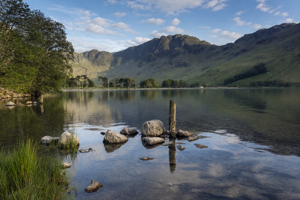
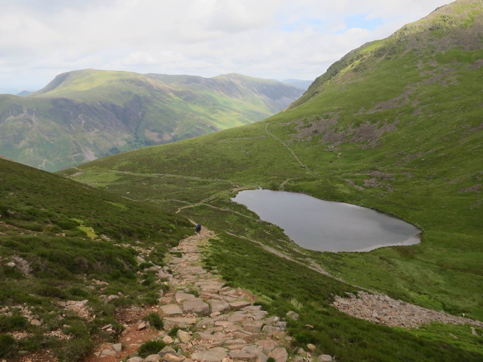
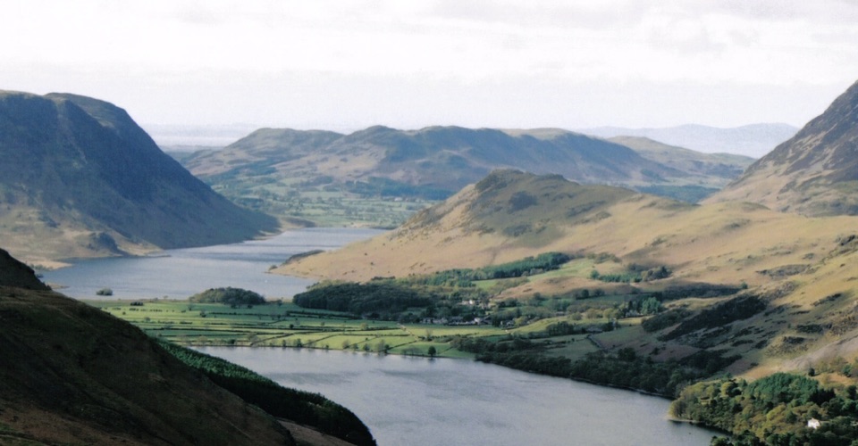
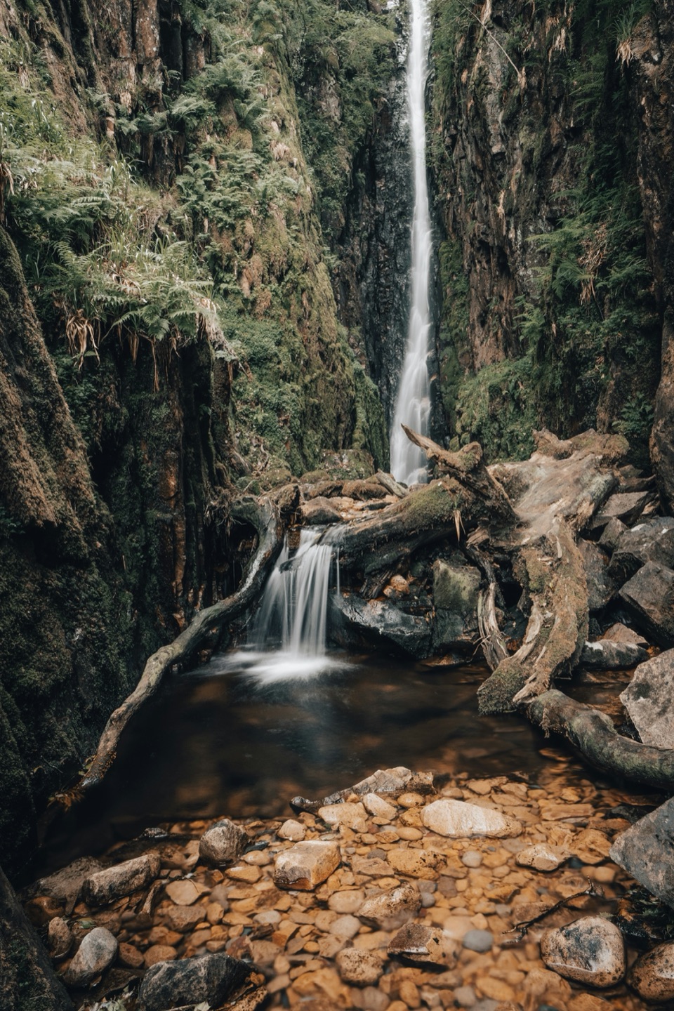
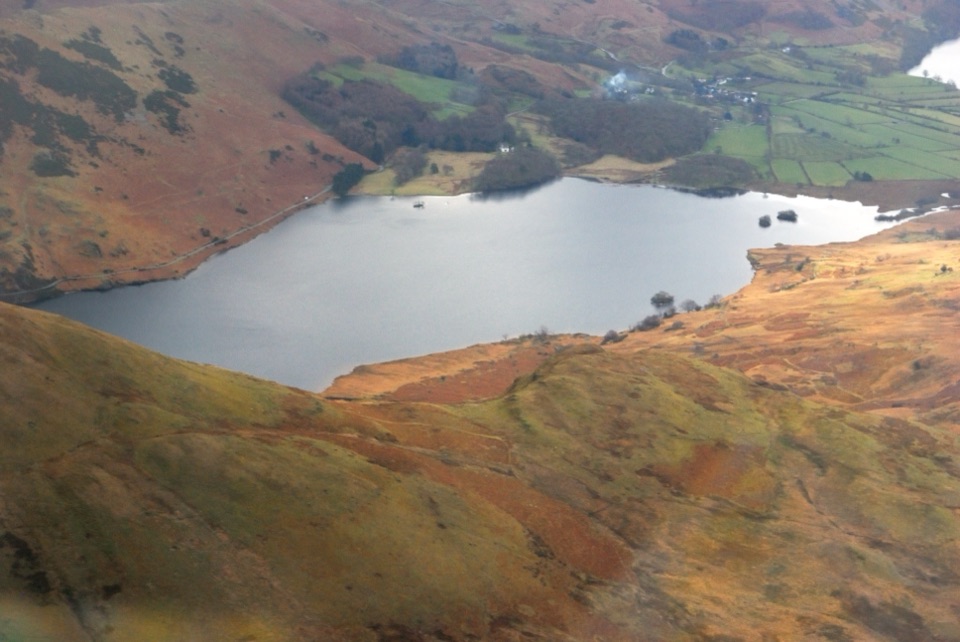
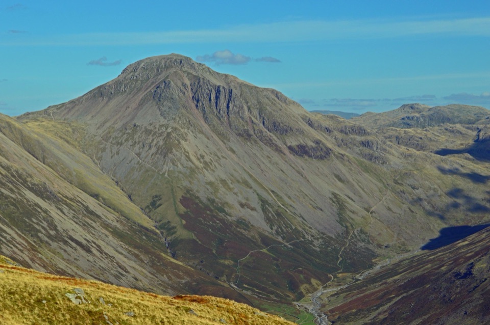
Buttermere is one of the Lake District's best low-level lake walks: a compact sheet of water held between dark fells, open pasture and woodland. The shoreline circuit is the draw, not a single viewpoint. It gives you changing views of Fleetwith Pike, Haystacks, High Stile and the surrounding valley, with Sourmilk Gill dropping through the trees at the northern end.
Parkwolf’s verdictWhy stop

Map

Where it is

Loading the Lake District map
Full map
SightButtermere54.52992, -3.26555
Keep this map with you offline in the Parkwolf app

Plan your stop

Before you go

Best time to go

The National Trust car park for the lake and village is a short walk north of Buttermere village, off the B5289. A public toilet is available in the village. Parking and the narrow roads can become pressured on weekends, holidays and warm days, so arrive early, use the available car parks and never block a lane needed by residents, farm vehicles or emergency services. A bus or seasonal shuttle can be a useful alternative when operating, but check the current timetable before relying on it.

Early morning and late afternoon are usually the calmest times for reflections and photographs. Bring waterproof layers, sturdy shoes, food and water, especially if you plan to extend the walk toward the surrounding fells. The shore path has some accessible stretches, but the full circuit's rock step, road section and changeable surfaces mean it should not be treated as fully accessible.


8 active Lake District alerts

  • ClosureChapel Stile footpath closed for retaining-wall riskPart of Footpath 543030 between Chapel Stile and Baysbrown campsite is closed because a retaining wall beside the path could collapse and material it supports could fall across the footpath.Official details
  • ClosureStanley Ghyll Lower Falls footpath closed for rockfallThe section of Footpath 408037 leading towards Stanley Ghyll Lower Falls is closed because severe rockfall damage has made the path unstable and further rockfall remains a danger.Official details
See all 8 alerts
A park ranger sits on a dash-mounted phone, talking, as Parkwolf’s Tour Guide plays “Army Cutworm Moths: A Grizzly Bear Buffet” on Grand Loop Road below Dunraven Pass in Yellowstone
Parkwolf Tour GuideThe highest, rockiest slopes around here are a summer buffet for grizzly bears.

Lake District Tour Guide

Your drive to Buttermere, narrated.

Parkwolf is a GPS audio tour guide for Lake District National Park. As you drive, it chimes in with what’s ahead: hidden gems, upcoming stops, history, geology, and wildlife, right through your car’s speakers.

Recorded for this place

Buttermere: Lakeshore and Village
0:00 / 1:10
“You're nearing Buttermere village, where a low-level lakeshore walk puts you right beneath the high fells.”

Plays as you drive up to Buttermere in the Parkwolf Lake District Tour Guide.

More stories near here in the app

  • Gatesgarth: Haystacks and the Mountain Tarns
  • Newlands Hause: Knott Rigg and Ard Crags
  • Crummock Water: Cinders and Grasmoor
  • Honister: Inside the Slate Mountain
  • 298 audio storiesacross Lake District’s roads, triggered by GPS as you drive
  • Wildlife heatmapsfor Red Deer, Eurasian Otter, Osprey, and 13 more
  • Works offlinemaps, 265 trails, 89 places, and audio download before you lose signal
  • CarPlay readysimple controls built for the drive
★★★★★
“Fantastic app with many points of information… It’s great to just turn on while you’re driving and it gives you an audio tour of the national Park. We love it!!!!”
JMJamesApp Store review
Download Parkwolf on the App StoreGet Parkwolf on Google Play

4.7 from 8,600+ ratings

Guide

More about Buttermere

The lakeshore circuitThe full loop is about 4.5 miles (7 km) and usually takes around three hours with stops.

The full loop is about 4.5 miles (7 km) and usually takes around three hours with stops. Much of it is easy and level, but do not mistake it for a completely smooth or step-free path. There is a short section on the road and one rough rock step where you may need to use your hands. Wet weather can make rocks, roots and the lakeside path slippery.

For a gentler outing, walk only part of the shore and turn back. The path through the woods gives some shelter from wind. If you are walking with children, going anticlockwise keeps the more sheltered woodland section early in the outing and saves the small tunnel for the return. The tunnel was cut in the nineteenth century and is one of the walk's memorable details.

Wildlife, history and the waterKeep an eye on the quieter margins for water birds, and scan the woods for red squirrels.

Keep an eye on the quieter margins for water birds, and scan the woods for red squirrels. Otters are present in the valley but are elusive, so treat one as a lucky sighting rather than an expectation. In spring, bluebells bring colour to Rannerdale and the surrounding woods. A short stretch of permissive path on the north side of the lake is traditionally closed from early April to the end of June to give nesting sandpipers a quiet refuge, so the complete loop may not be available then.

The valley was shaped by glacial ice, and Buttermere and nearby Crummock Water are thought to have once been a single lake before streams and deposits formed the land between them. You can swim in the lake, and boating and fishing are possible under local permit arrangements. Powered craft are not allowed, and boats are limited to keep the small lake peaceful. Treat it as cold open water and check current local rules before bringing equipment.

Why stopThe lake feels more rural and less built-up than the larger, busier destinations in the central…

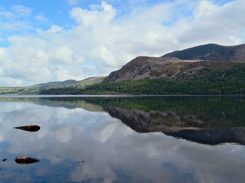
The lake feels more rural and less built-up than the larger, busier destinations in the central Lakes. It is also a place where a modest walk can deliver a full mountain landscape. On a clear, calm day, the fells reflect across the water; in low cloud or rain, the same basin feels wilder and more dramatic.

Wildlife

Wildlife in Lake District

All Lake District wildlife maps

Sighting maps show where each species has been reported across Lake District. Wildlife moves, so no sighting is guaranteed.

Keep exploring

Near Buttermere

See it all on the map

Trails nearby

More stops nearby

Parkwolf’s Lake District ranking

Top sights in Lake District

All 89 places
  1. 1WindermereSight
  2. 2Scafell PikeSight
  3. 3UllswaterSight
  4. 4DerwentwaterSight
  5. 5Wast WaterSight
  6. 6Aira ForceSight

Take Parkwolf to Lake District.

The audio tour guide for the drive, plus offline maps, trails, and wildlife heatmaps for when the signal drops.

4.7 from 8,600+ ratings

Download Parkwolf on the App StoreGet Parkwolf on Google Play