Parking
Use the Walna Scar car park at the end of the steep, narrow road above Coniston. Start on the rough Walna Scar track at the far end of the car park; do not continue beyond the public parking area onto the bridleway.
Lake District National Park, EN
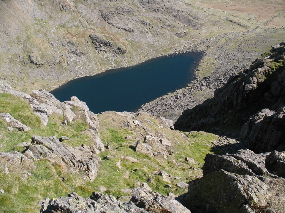
A rocky ridge to a cliff-edged summit above a dark mountain tarn
Overview
This is a 6.5-mile circular loop from the Walna Scar Road car park, with the distance measured for the complete loop. It follows the broad Walna Scar track to the ridge, crosses Brown Pike and Buck Pike to Dow Crag, then descends to Goat's Hawse and returns around the left shore of Goat's Water before rejoining the road.
Map & elevation
Plan your hike

The highest, rockiest slopes around here are a summer buffet for grizzly bears.
Lake District Tour Guide
Parkwolf is a GPS audio tour guide for Lake District National Park. As you drive, it chimes in with what’s ahead: hidden gems, upcoming stops, history, geology, and wildlife, right through your car’s speakers.
Recorded for this trailhead
Walna Scar: Dow Crag and Goat’s Water“Up ahead is Walna Scar car park, the starting point for a mountain loop over Dow Crag and the Old Man of Coniston.”
Plays as you drive up to this trailhead in the Parkwolf Lake District Tour Guide.
More stories near here in the app
“Fantastic app with many points of information… It’s great to just turn on while you’re driving and it gives you an audio tour of the national Park. We love it!!!!”


Trail guide
The opening track is steady and straightforward, but the upper section becomes rough, rocky fell walking. The ridge gives open views over Coniston Water, the Duddon Estuary, Morecambe Bay and the Scafells. Dow Crag is the payoff: a dark, broken wall of buttresses and gullies above the tarn. The summit rocks are awkward enough that hands may help, although the standard route does not require a technical climb. Bypass the roughest blocks if you prefer a more cautious line.
The return beside Goat's Water is quieter and more enclosed, with a clear engineered path in places but plenty of boulders and short steps. The basin and The Cove retain evidence of the area's slate-quarrying past, including spoil below Brown Pike. There is little shade, no reliable water on the ridge, and limited wayfinding once cloud hides the landmarks, so this is a mountain day rather than a casual lakeside walk.
Wildlife
 81 sightingsRed DeerMost seen around 7 PMSighting map
 13 sightingsEurasian OtterMost seen around 6 AMSighting map
 76 sightingsOspreyMost seen around 8 AMSighting map
 51 sightingsEuropean BadgerMost seen around 8 PMSighting map
 233 sightingsMute SwanMost seen around 6 PMSighting map
 176 sightingsGrey HeronMost seen around 7 AMSighting map
Sighting maps show where each species has been reported across Lake District. Wildlife moves, so no sighting is guaranteed.
Keep exploring
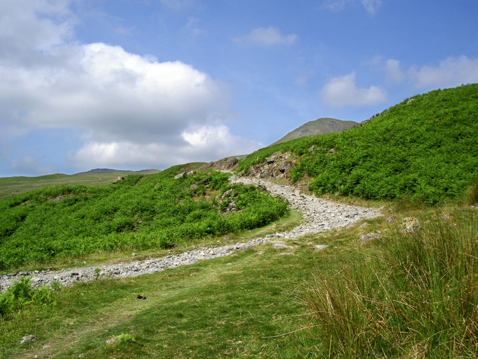 ModerateWalna Scar, White Maiden and White Pike10.9 km · 4.5 hr · At the trailheadThree quiet summits above the Walna Scar road
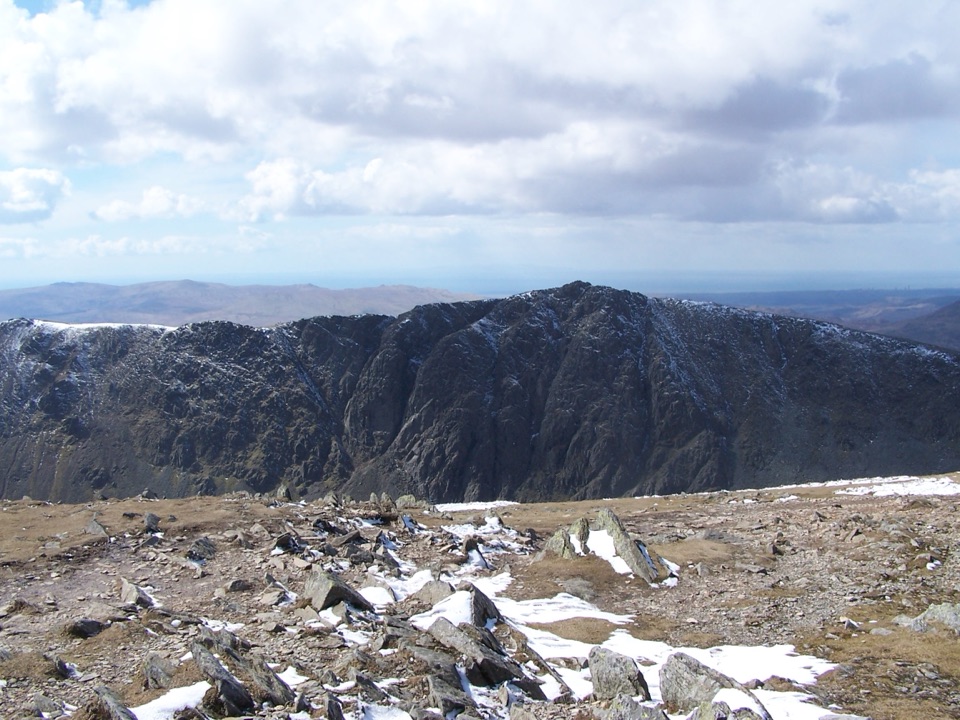 ChallengingOld Man of Coniston via Dow Crag10 km · 4.5 hr · At the trailheadRugged summit loop over Dow Crag, Goat's Water, and the Old Man
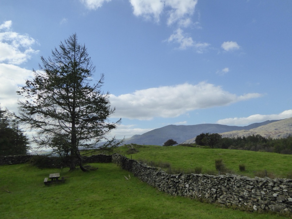 EasyConiston to High Cross4.5 km · 2 hr · 1.4 km awayClimb gravel bridleways from Coniston village to the High Cross viewpoint
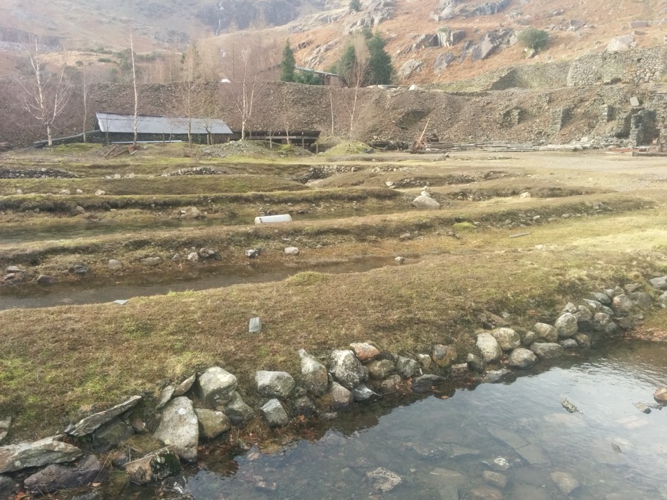 ChallengingLand of Power and Ore5.6 km · 3.3 hr · 1.5 km awaySteep fell track past engine houses, shafts and old copper workings
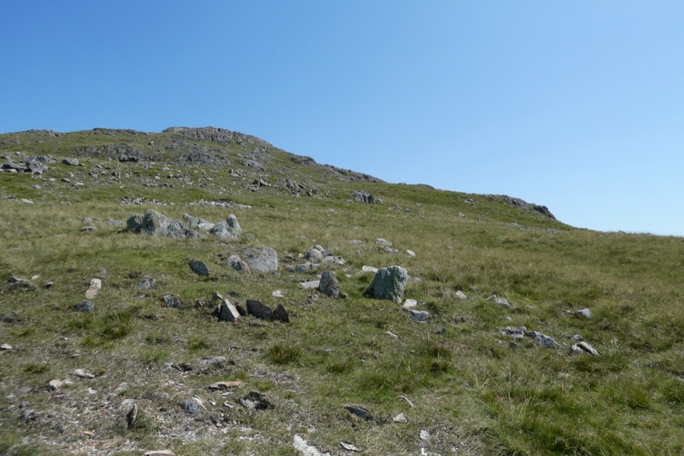 ChallengingWetherlam via Lad Stones Ridge and Black Sails12.2 km · 5.5 hr · 1.5 km awayRocky ridges, a Wainwright summit, and copper-mine relics above Coniston
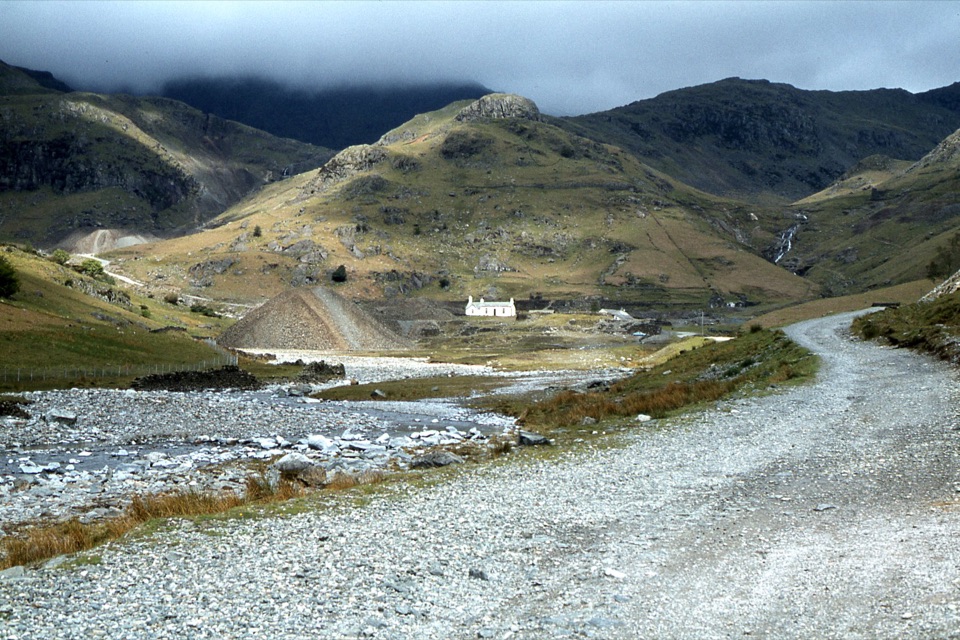 EasyIntroducing Coppermines Valley4 km · 2 hr · 1.5 km awayClimb past miners' cottages and slag heaps into a copper mining valley
 ChallengingThe Old Man of Coniston9 km · 4 hr · 1.6 km awaySteep mine tracks and stone zigzags to an 803 m summit loop
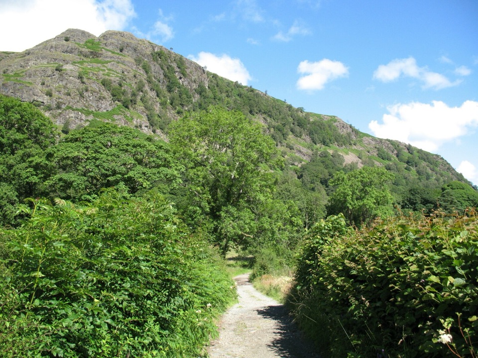 EasyYewdale Bridleway4.8 km · 1.3 hr · 1.8 km awayStone track under rocky fells, oak woods and a timber footbridge
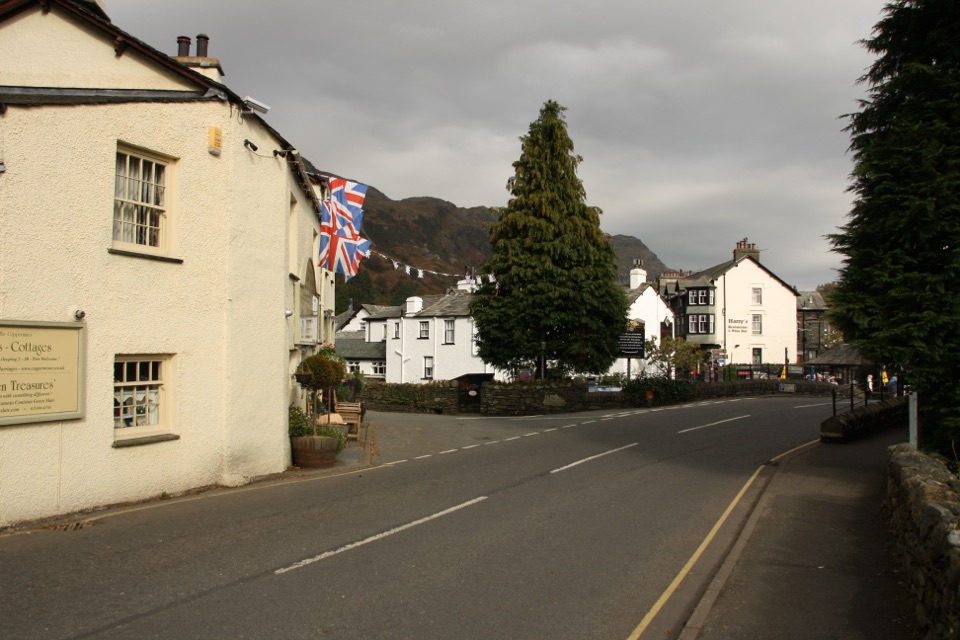 Sight · 1.4 km awayConiston VillageA characterful village base beneath the Old Man of Coniston
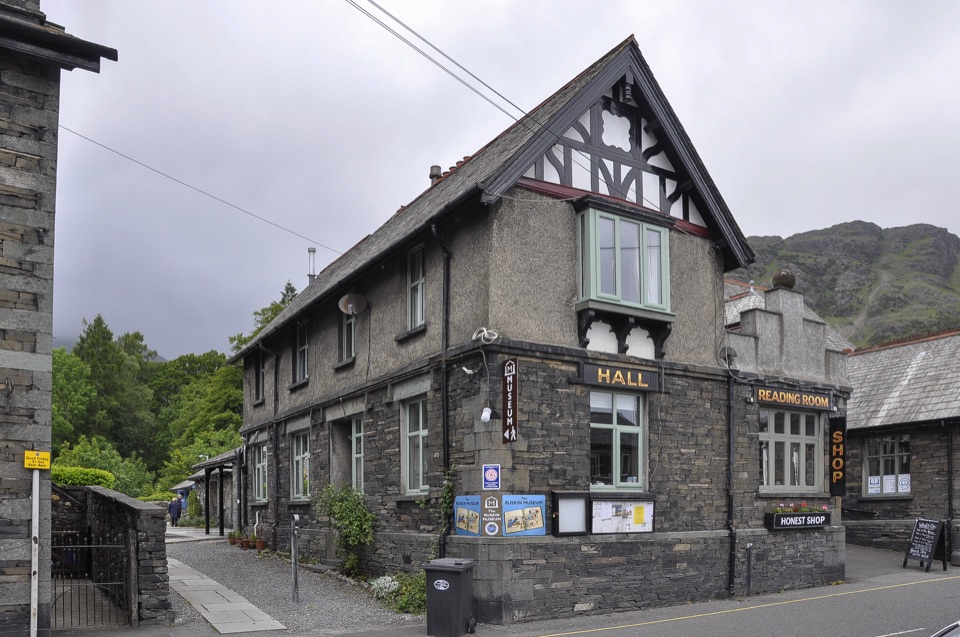 Sight · 1.5 km awayThe Ruskin MuseumBluebird K7 anchors a rich story of Coniston, copper, and culture
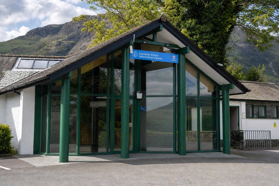 Visitor center · 1.5 km awayConiston Information CentreA practical base for maps, walks, and local Coniston advice
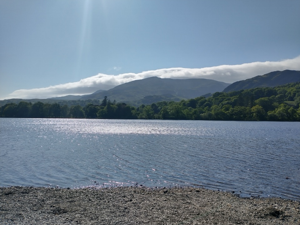 Sight · 1.8 km awayOld Man of ConistonA slate-scarred summit with wide views over the southern Lakes
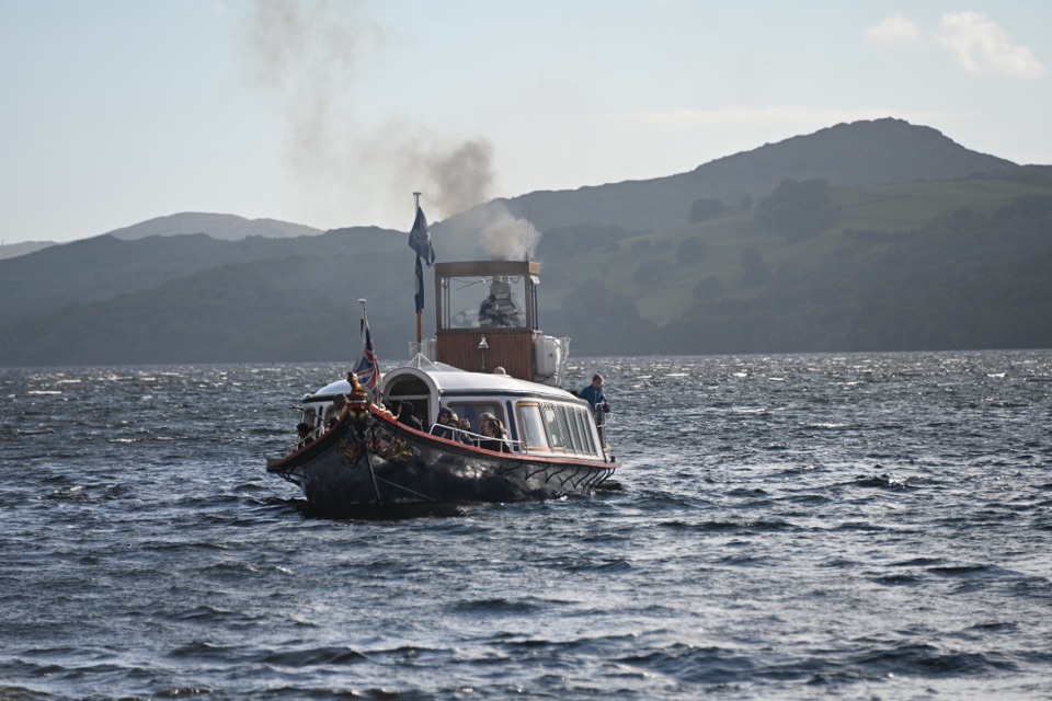 Sight · 1.9 km awaySteam Yacht GondolaA Victorian steam yacht gliding beneath Coniston's fells
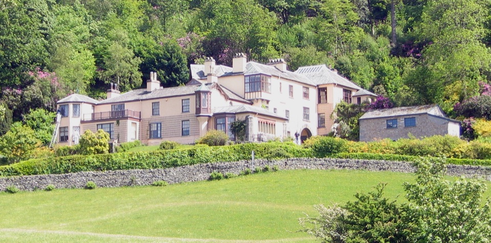 Sight · 2.6 km awayBrantwoodRuskin's house, winding gardens, and a big Coniston Water view
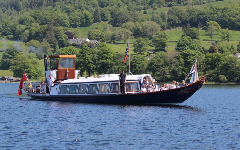 Sight · 3.5 km awayConiston WaterA deep lake of boats, stories, and the Old Man's reflection
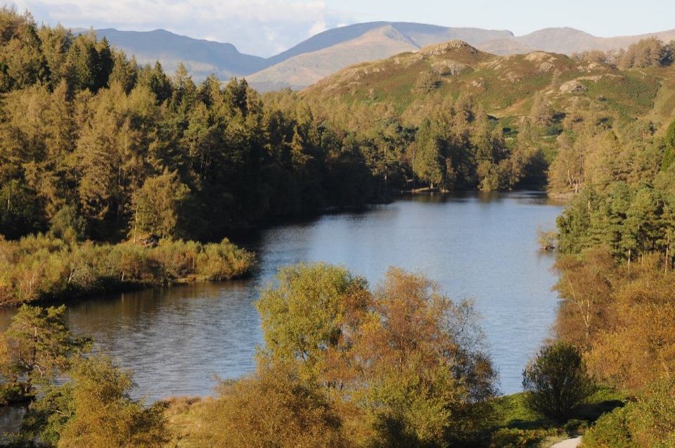 Sight · 4.5 km awayTarn HowsA wooded mountain tarn with an easy loop and fell views
Parkwolf’s Lake District ranking

The audio tour guide for the drive, plus offline maps, trails, and wildlife heatmaps for when the signal drops.




