Wetherlam via Lad Stones Ridge and Black Sails in Lake District National Park

Lake District National Park, EN

Wetherlam via Lad Stones Ridge and Black Sails

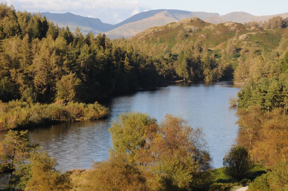
Rocky ridges, a Wainwright summit, and copper-mine relics above Coniston

Photo: Wikimedia Commons
Length
12.2km
Time
5.5hr
Elev. change
696m
Difficulty
Challenging
  • Loop
  • Dogs allowed
  • High point 752 m
  • #56 of 265 in Lake District

Hear the audio tour

Coniston: Old Man and Coppermines

Overview

About Wetherlam via Lad Stones Ridge and Black Sails

Why go

  • Three named high points and Levers Water in one circuit
  • Coppermines history gives the return a distinctive finish

Heads up

  • Faint, exposed ridge paths demand confident navigation
  • Rough rock, bog and a steep Black Sails descent slow progress

Map & elevation

The route

Loading the Lake District map
Full map
Elevation56–752 m
TrailheadConiston Tourist Information Centre54.36883, -3.07376
Keep this map with you offline in the Parkwolf app

Plan your hike

Before you go

Parking

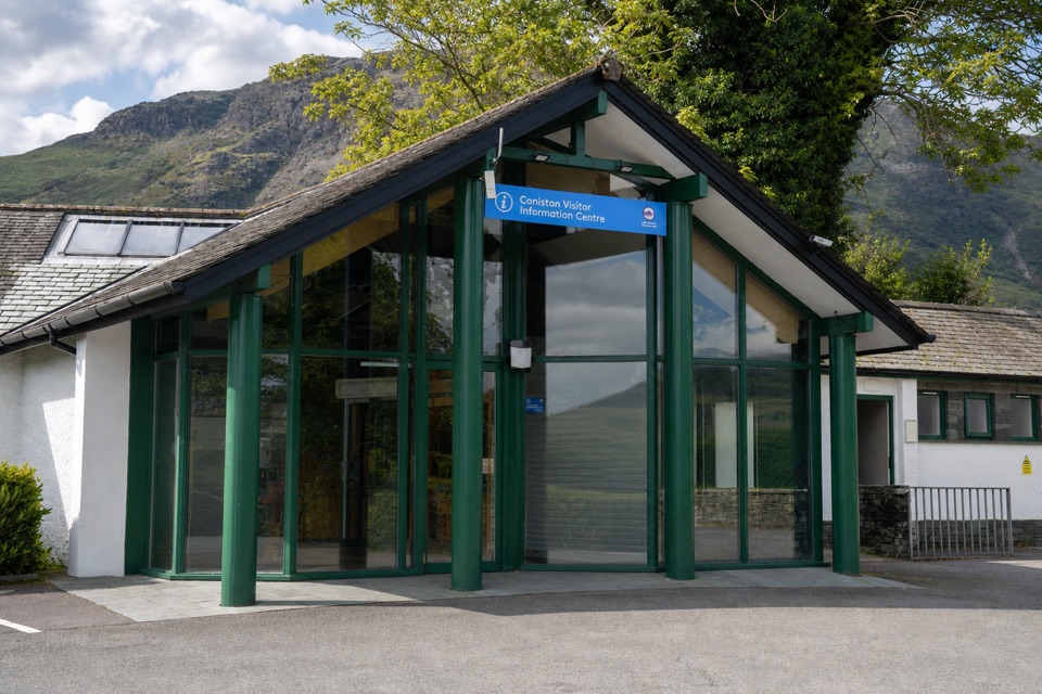
Start at the Lake District National Park car park beside Coniston Tourist Information Centre on Ruskin Avenue. The village provides the approach to the Coppermines, and the information centre is the correct access point for this route rather than a summit or mine listing. Parking is pay-and-display.

Best time to go

Late spring through early autumn gives the best combination of daylight and open fell conditions; heather colour is a late-summer bonus. Clear mornings and late afternoon give the best light along the ridges and across Coniston Water, though cloud can build quickly and change the day.

Safety

The high route is exposed and can be indistinct in mist. Stay on the crest when descending Black Sails because steep ground drops away on either side. Expect rocky steps, bog and loose footing; old mine openings around Paddy End and the Coppermines require distance. The Levers Water dam may be wet, and dogs need close control near livestock.

8 active Lake District alerts

  • ClosureChapel Stile footpath closed for retaining-wall riskPart of Footpath 543030 between Chapel Stile and Baysbrown campsite is closed because a retaining wall beside the path could collapse and material it supports could fall across the footpath.Official details
  • ClosureStanley Ghyll Lower Falls footpath closed for rockfallThe section of Footpath 408037 leading towards Stanley Ghyll Lower Falls is closed because severe rockfall damage has made the path unstable and further rockfall remains a danger.Official details
See all 8 alerts
A park ranger sits on a dash-mounted phone, talking, as Parkwolf’s Tour Guide plays “Army Cutworm Moths: A Grizzly Bear Buffet” on Grand Loop Road below Dunraven Pass in Yellowstone
Parkwolf Tour GuideThe highest, rockiest slopes around here are a summer buffet for grizzly bears.

Lake District Tour Guide

Your drive to Wetherlam via Lad Stones Ridge and Black Sails, narrated.

Parkwolf is a GPS audio tour guide for Lake District National Park. As you drive, it chimes in with what’s ahead: hidden gems, upcoming stops, history, geology, and wildlife, right through your car’s speakers.

Recorded for this trailhead

Coniston: Old Man and Coppermines
0:00 / 1:23
“You're approaching Coniston village, a starting point for the Old Man of Coniston and walks into the Coppermines Valley.”

Plays as you drive up to this trailhead in the Parkwolf Lake District Tour Guide.

More stories near here in the app

  • Coniston Water: Gondola and the Shore
  • Monk Coniston: A Gentle Lakeside Walk
  • Walna Scar: Dow Crag and Goat’s Water
  • Brantwood: Ruskin’s House and Gardens
  • 298 audio storiesacross Lake District’s roads, triggered by GPS as you drive
  • Wildlife heatmapsfor Red Deer, Eurasian Otter, Osprey, and 13 more
  • Works offlinemaps, 265 trails, 89 places, and audio download before you lose signal
  • CarPlay readysimple controls built for the drive
★★★★★
“Fantastic app with many points of information… It’s great to just turn on while you’re driving and it gives you an audio tour of the national Park. We love it!!!!”
JMJamesApp Store review
Download Parkwolf on the App StoreGet Parkwolf on Google Play

4.7 from 8,600+ ratings

Trail guide

Hiking Wetherlam via Lad Stones Ridge and Black Sails

The shape of the dayA circular fell walk starting and finishing at the Coniston information centre, beside the…

A circular fell walk starting and finishing at the Coniston information centre, beside the national park car park. 7.6 miles / 12.2 km for the full loop, not one-way, with about 786 m of ascent. Most ordinary hikers should plan on 5 to 6 hours moving time, plus stops. Faster schedules exist on paper, but they are not a sensible basis for planning.

Sequence and payoffYou leave the village on road and gravel track up the Coppermines approach beside Church Beck,…

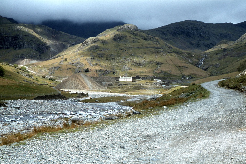
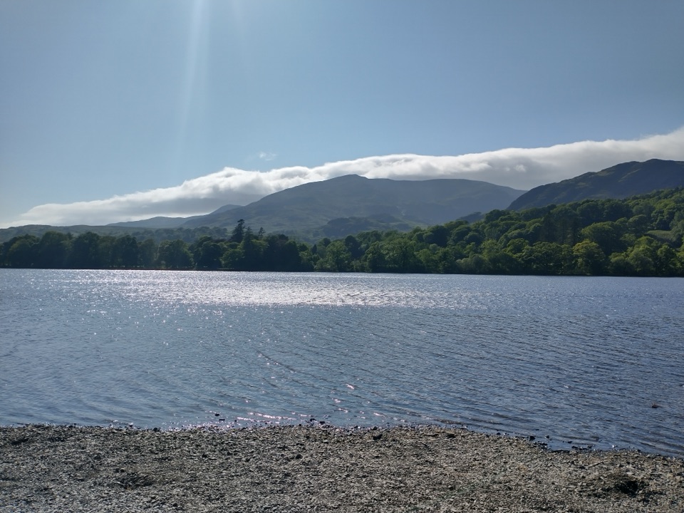
You leave the village on road and gravel track up the Coppermines approach beside Church Beck, past Miners Bridge and the hydro intake, then take a rough path through bracken and over a stone footbridge to Hole Rake. From there the walk swings onto the Lad Stones ridge and climbs steadily over Lower Howes to Wetherlam. West from the summit toward Swirl Hawse you detour over Red Dell Head, then tackle the rocky eastern face of Black Sails before the complicated south ridge over Kennel Crag and Erin Crag drops you to Levers Water dam. The return crosses the dam, passes the old workings at Paddy End, and descends Boulder Valley and Low Water Beck to the Coppermines terrace, the hydro intake and Church Beck. The reward is a varied and generally quieter Coniston round that strings together a Wainwright top, a genuinely rocky ridge, Levers Water, long views over Coniston Water and the neighbouring fells, and a lot of mining history.

Difficulty and footingRated 7 out of 10.

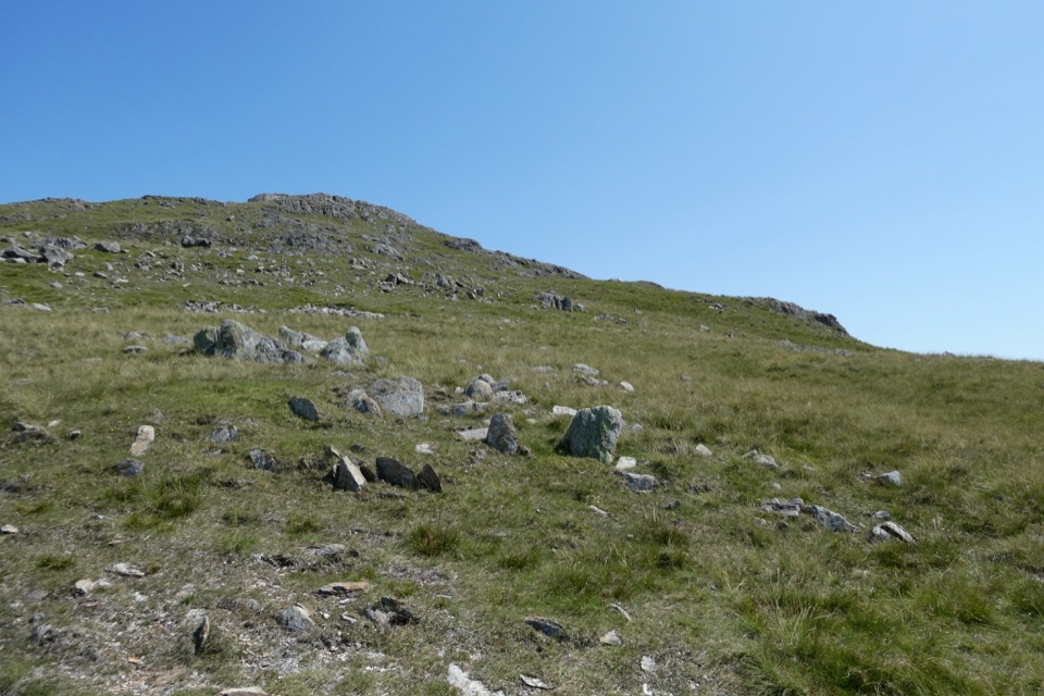
Rated 7 out of 10. No technical climbing, but it is a hard day: sustained ascent, rough and sometimes indistinct high paths, rocky steps, boggy ground, and steep ridge slopes. Underfoot you get village road, gravel track, rough mountain path, grass, bare rock, peat and loose steps. The climb itself is steady rather than brutal; the difficulty is in the ground and the navigation.

Navigation and exposureThe upper ground is more open and exposed, and route finding matters in mist.

The upper ground is more open and exposed, and route finding matters in mist. The line near Red Dell Head and around Black Sails can be faint. On the descent from Black Sails, stay on the crest and do not drift off either side early, because the slopes below are steep and unforgiving and there is some clambering through rocky steps. If water is spilling over the Levers Water dam, the crossing can be wet, and the rough track down the valley is the safer choice.

Mines, rock and sceneryThe Coniston valley is rugged fell country, and this route runs straight through its industrial…

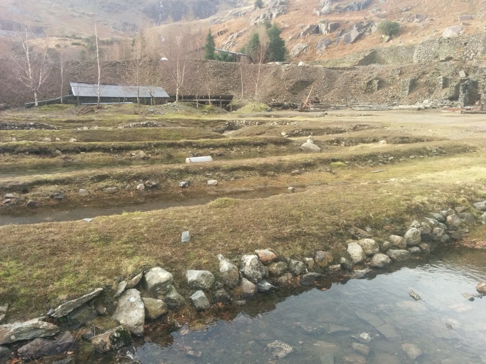
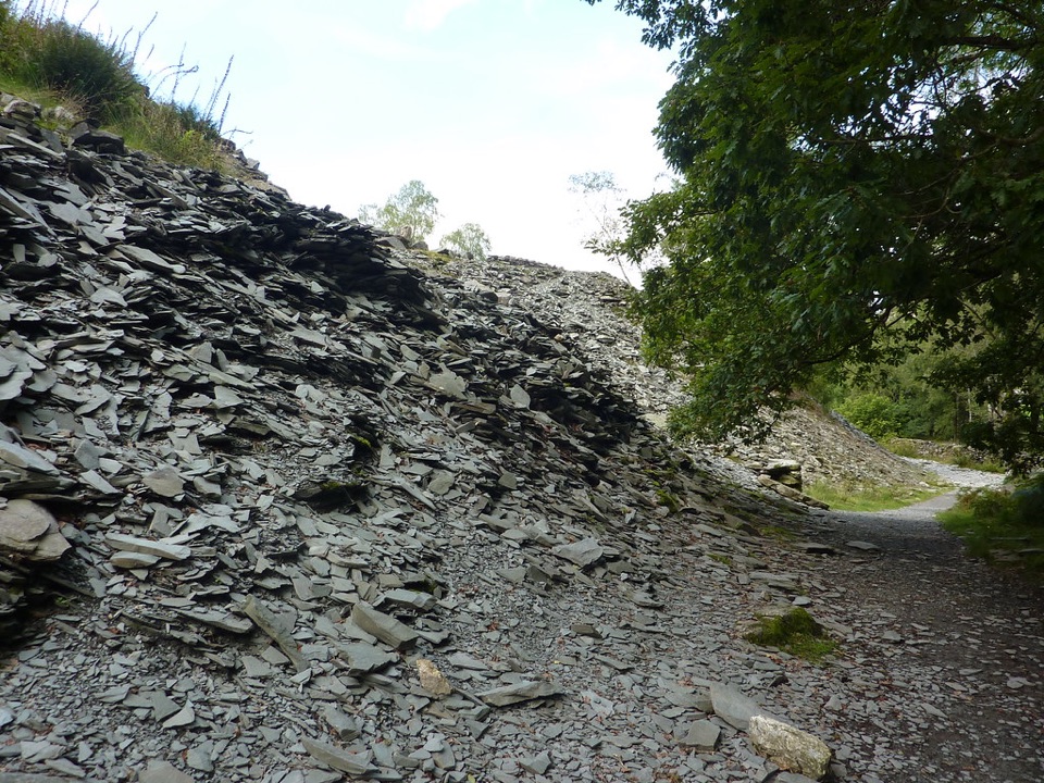
The Coniston valley is rugged fell country, and this route runs straight through its industrial past: old stopes, spoil, water management features and mine entrances around Paddy End and the Coppermines terrace. Stay on the route and well away from any opening. Higher up, the appeal is rock and ridge, with Levers Water sitting in its bowl below Black Sails.

Access, dogs and waterNo permit is needed for this day walk.

No permit is needed for this day walk. Dogs are welcome but must be under close control, on a lead wherever livestock is present, and on a lead of no more than 2 m from 1 March to 31 July on open access land to protect ground-nesting birds. There is no dependable water source to plan around, so carry everything you need.

Drawbacks and alternativesThis is not a route for poor visibility if you are unsure of your map work, and the Black Sails…

This is not a route for poor visibility if you are unsure of your map work, and the Black Sails descent is the crux rather than the summit. If you want a longer day on better-trodden paths, the Old Man of Coniston circuit from the same village is the obvious alternative; if you want the rockier, quieter option, stay with this one.

Wildlife

Wildlife in Lake District

All Lake District wildlife maps

Sighting maps show where each species has been reported across Lake District. Wildlife moves, so no sighting is guaranteed.

Keep exploring

Near Wetherlam via Lad Stones Ridge and Black Sails

See it all on the map

Trails that start nearby

Places near the trailhead

Parkwolf’s Lake District ranking

Top-rated trails in Lake District

All 265 trails
  1. 1Scafell Pike via Hollow Stones from WasdaleChallenging · 9 km
  2. 2Helvellyn via Striding Edge and Swirral EdgeChallenging · 12.4 km
  3. 3CatbellsModerate · 6.6 km
  4. 4The Old Man of ConistonChallenging · 9 km
  5. 5Buttermere CircularEasy · 7.6 km
  6. 6The Fairfield HorseshoeChallenging · 17.2 km

Take Parkwolf to Lake District.

The audio tour guide for the drive, plus offline maps, trails, and wildlife heatmaps for when the signal drops.

4.7 from 8,600+ ratings

Download Parkwolf on the App StoreGet Parkwolf on Google Play