Parking
Use signed public car parks in Coniston, including Ruskin Avenue and Station Road / Station Car Park, then walk to the village centre. High Cross has a separate car park, but this route is point-to-point.
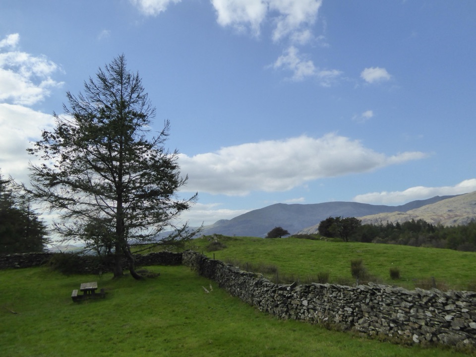
Lake District National Park, EN
Climb gravel bridleways from Coniston village to the High Cross viewpoint
Overview
The High Cross view is the endpoint payoff, with outlooks toward Coniston Water and the surrounding fells. Clear, settled conditions give the best chance of those longer views opening up across the water and hills.
 Parkwolf’s verdictThe Payoff
Map & elevation
Plan your hike

The highest, rockiest slopes around here are a summer buffet for grizzly bears.
Lake District Tour Guide
Parkwolf is a GPS audio tour guide for Lake District National Park. As you drive, it chimes in with what’s ahead: hidden gems, upcoming stops, history, geology, and wildlife, right through your car’s speakers.
Recorded for this trailhead
Coniston: Old Man and Coppermines“You're approaching Coniston village, a starting point for the Old Man of Coniston and walks into the Coppermines Valley.”
Plays as you drive up to this trailhead in the Parkwolf Lake District Tour Guide.
More stories near here in the app
“Fantastic app with many points of information… It’s great to just turn on while you’re driving and it gives you an audio tour of the national Park. We love it!!!!”


Trail guide
This is a point-to-point ride or walk measured as 2.78 miles (4.48 km) one way, the convention used throughout here. Retracing the same line back to Coniston makes the day about 5.56 miles in total. The route runs from Coniston village centre up to the High Cross access and picnic area.
Start in the village centre and follow short village-road sections to pick up the connected gravel bridleway and footway. The line continues through the Monk Coniston area, then along High Cross Plantation, passing open pasture, stone walls and woodland or plantation edges before reaching the High Cross car park and picnic area.
The route is officially an off-road gravel cycle and walking path with some steep hills. Elevation samples along the way run from about 62 m at the start to 211 m at the finish, so expect steady net climbing outbound and a descent on the return. Gravel underfoot and under tyre means sure footing or suitable tyres are worth having.
There are short road sections and road crossings on the way, mainly near the village end. Slow down, look both ways and expect to share the gravel with other cyclists and walkers.
Signed public parking in Coniston includes Ruskin Avenue and Station Road / Station Car Park, and High Cross has its own separate car park. Bus service 505 serves Coniston. Because the route is point-to-point with no loop return, plan either a same-route return, a pick-up at High Cross, or an onward continuation toward Grizedale Forest on forest tracks or Tarn Hows on quiet roads. No permit rule is stated in the available route information.
Dogs are allowed on this public route. Overlapping land guidance asks that dogs be kept on leads, and with livestock nearby and shared cycle traffic, close control is the sensible approach throughout.
If a circuit suits better, the Tarn Hows Circular Walk is the more obviously loop-shaped option. The Old Man of Coniston is a separate and much harder summit hike rather than a variation on this route.
Wildlife
 81 sightingsRed DeerMost seen around 7 PMSighting map
 13 sightingsEurasian OtterMost seen around 6 AMSighting map
 76 sightingsOspreyMost seen around 8 AMSighting map
 51 sightingsEuropean BadgerMost seen around 8 PMSighting map
 233 sightingsMute SwanMost seen around 6 PMSighting map
 176 sightingsGrey HeronMost seen around 7 AMSighting map
Sighting maps show where each species has been reported across Lake District. Wildlife moves, so no sighting is guaranteed.
Keep exploring
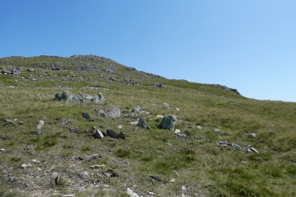 ChallengingWetherlam via Lad Stones Ridge and Black Sails12.2 km · 5.5 hr · 0.1 km awayRocky ridges, a Wainwright summit, and copper-mine relics above Coniston
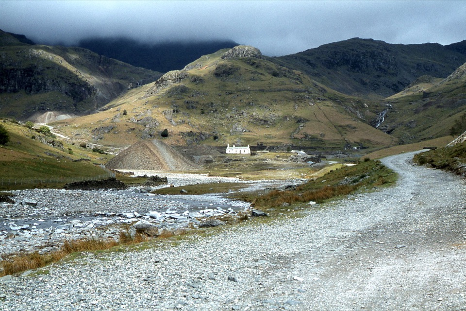 EasyIntroducing Coppermines Valley4 km · 2 hr · 0.1 km awayClimb past miners' cottages and slag heaps into a copper mining valley
 ChallengingThe Old Man of Coniston9 km · 4 hr · 0.1 km awaySteep mine tracks and stone zigzags to an 803 m summit loop
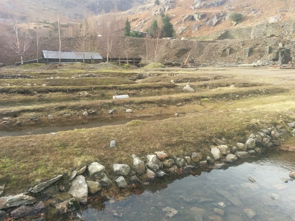 ChallengingLand of Power and Ore5.6 km · 3.3 hr · 0.2 km awaySteep fell track past engine houses, shafts and old copper workings
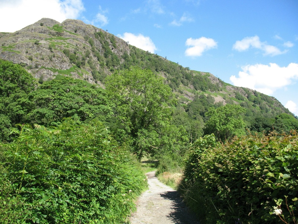 EasyYewdale Bridleway4.8 km · 1.3 hr · 0.4 km awayStone track under rocky fells, oak woods and a timber footbridge
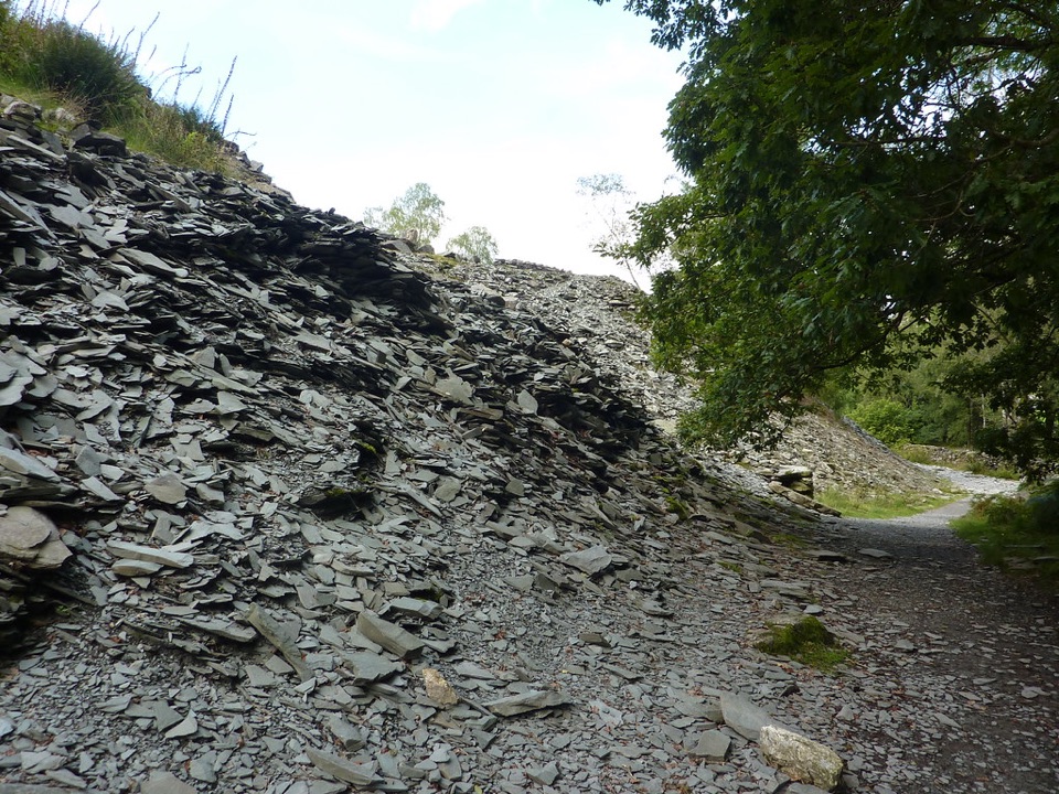 EasyElterwater Trail10 km · 3.5 hr · 0.5 km awaySlate country crossing from Coniston to Elterwater via Slater's Bridge
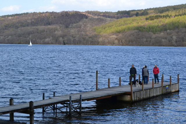 EasyConiston to Torver Jetty3.5 km · 1.8 hr · 0.7 km awaySmooth lakeshore path south to Torver jetty, with Old Man views
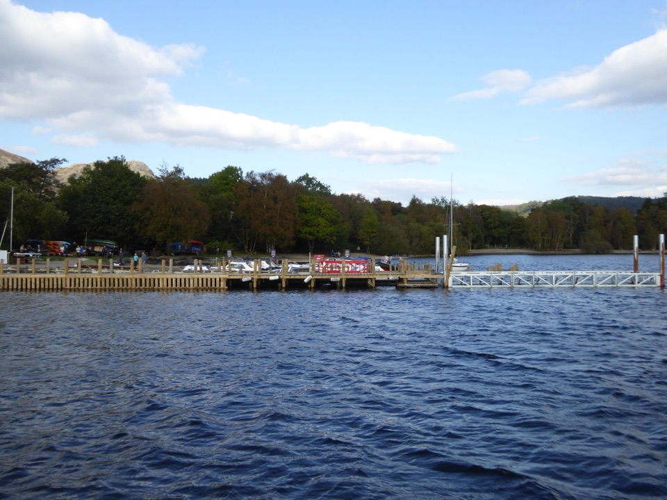 EasyMiners' Lives3.2 km · 1 hr · 0.8 km awayShort lakeside village loop through Coniston's copper-mining past
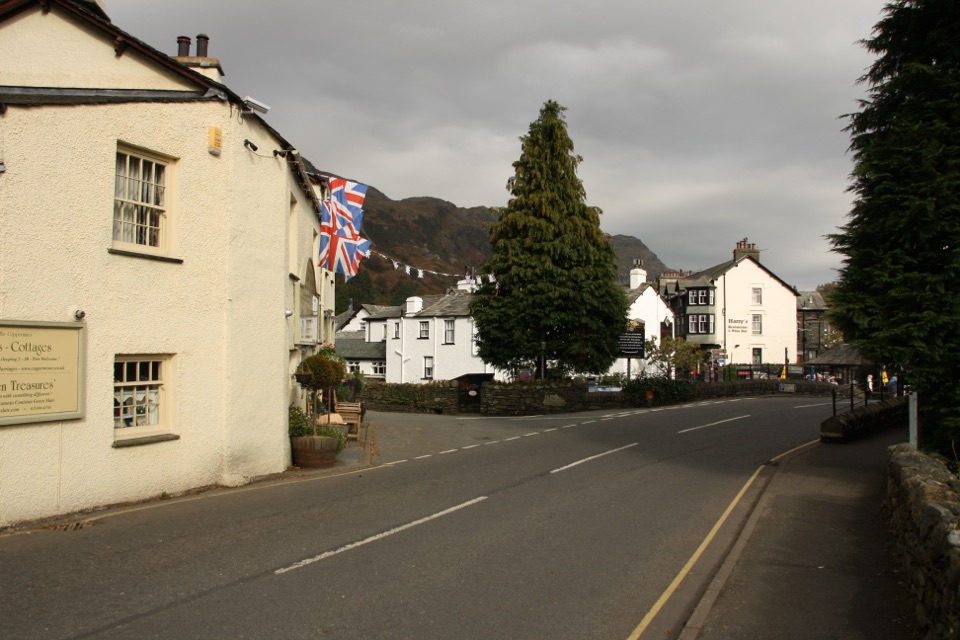 Sight · At the trailheadConiston VillageA characterful village base beneath the Old Man of Coniston
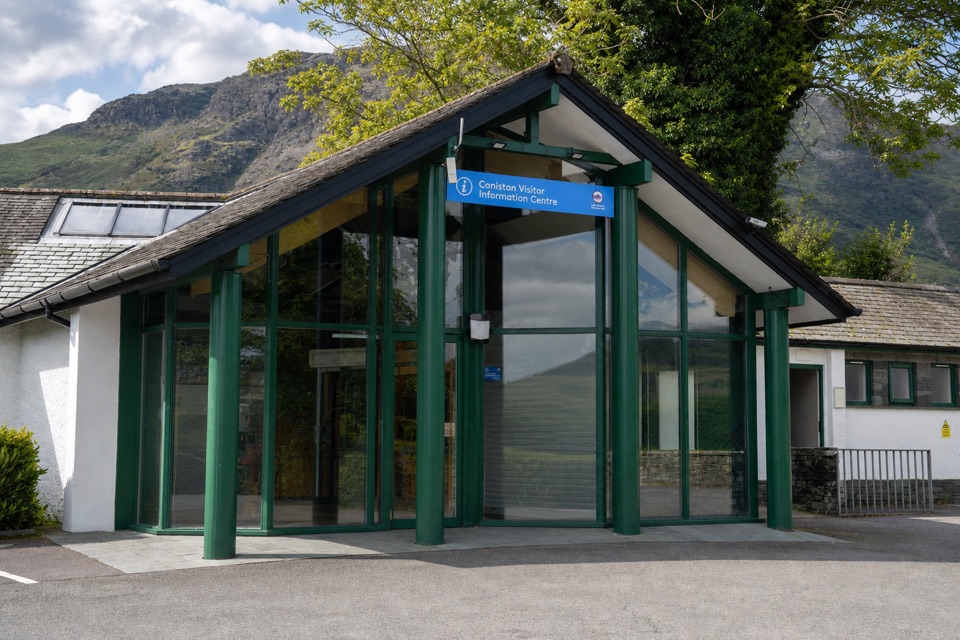 Visitor center · 0.1 km awayConiston Information CentreA practical base for maps, walks, and local Coniston advice
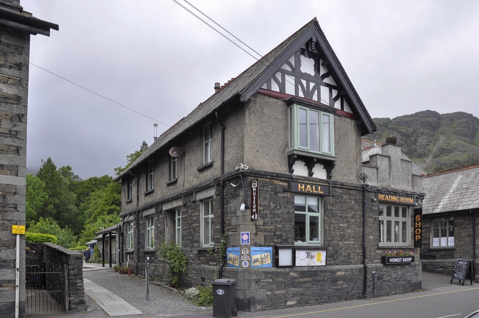 Sight · 0.2 km awayThe Ruskin MuseumBluebird K7 anchors a rich story of Coniston, copper, and culture
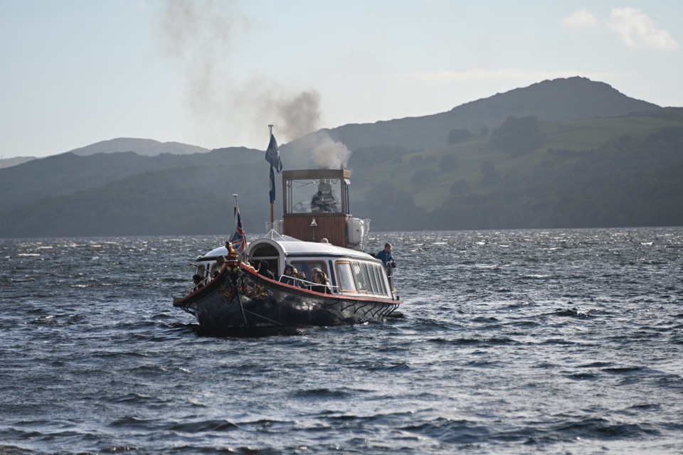 Sight · 0.9 km awaySteam Yacht GondolaA Victorian steam yacht gliding beneath Coniston's fells
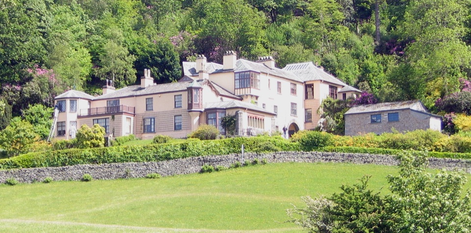 Sight · 2 km awayBrantwoodRuskin's house, winding gardens, and a big Coniston Water view
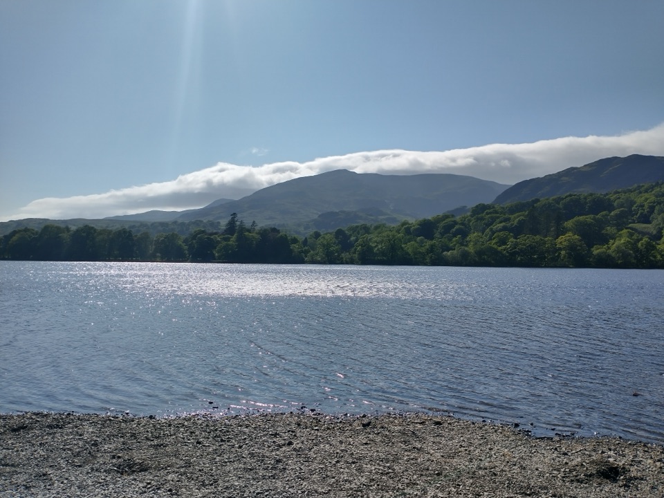 Sight · 3 km awayOld Man of ConistonA slate-scarred summit with wide views over the southern Lakes
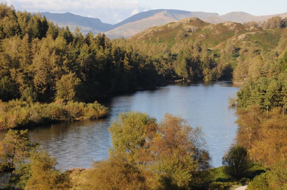 Sight · 3.1 km awayTarn HowsA wooded mountain tarn with an easy loop and fell views
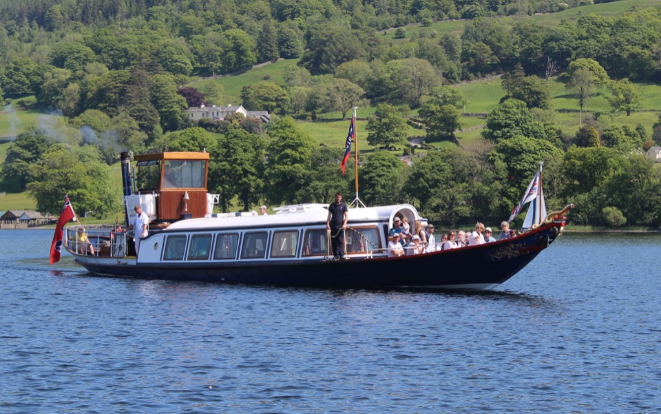 Sight · 3.8 km awayConiston WaterA deep lake of boats, stories, and the Old Man's reflection
Parkwolf’s Lake District ranking
The audio tour guide for the drive, plus offline maps, trails, and wildlife heatmaps for when the signal drops.




