Parking
Use the small grassy roadside area at Greendale beside the first building you reach, around grid reference NY144056. It holds roughly 10 cars. Do not block gates, lanes, or access to the cottages.
Lake District National Park, EN
A quiet fell circuit with a big Wastwater and Scafells payoff
Overview
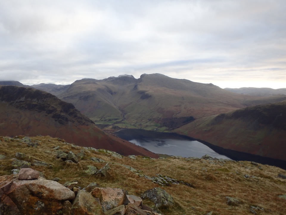
The walk earns its distance with a changing sequence of views. Greendale Gill and open fell pasture lead to Greendale Tarn, a small mountain tarn in a hollow between the ridges. Higher up, Middle Fell opens the view across Wastwater to the Scafells and back into Wasdale. Expect grass, heather, and scattered rock rather than woodland shade. The full Greendale Round over Seatallan and Buckbarrow is a separate, longer outing if you want a bigger day in the same corner of the fells.
 Parkwolf’s verdictThe payoff
Map & elevation
Plan your hike

The highest, rockiest slopes around here are a summer buffet for grizzly bears.
Lake District Tour Guide
Parkwolf is a GPS audio tour guide for Lake District National Park. As you drive, it chimes in with what’s ahead: hidden gems, upcoming stops, history, geology, and wildlife, right through your car’s speakers.
Recorded for this trailhead
Greendale: Middle Fell or Three Summits“You're nearing Greendale, the starting point for a quieter walk up Middle Fell and into the hills above Wastwater. For a satisfying outing of about three hours, I'd choose the three-and-a-half-mile Middle Fell circuit.”
Plays as you drive up to this trailhead in the Parkwolf Lake District Tour Guide.
More stories near here in the app
“Fantastic app with many points of information… It’s great to just turn on while you’re driving and it gives you an audio tour of the national Park. We love it!!!!”


Trail guide
This is a 3.5-mile circular walk from Greendale, with the lower approach retraced on the way back. Allow about three hours. The path climbs from the roadside, reaches the rough ground around Greendale Tarn, continues over the summit area of Middle Fell, and returns on a separate upper line before descending the same lower access. The listed route is 5.6 km; the stored map draws the complete circuit, including that retraced lower stem.
Park on the small grassy roadside area at Greendale, beside the first building you reach, around grid reference NY144056. The space is for roughly 10 cars and sits about 0.4 miles from Wastwater. Dogs are welcome under close control, but this is grazing country, so keep them close and leashed where needed.
Wildlife
 81 sightingsRed DeerMost seen around 7 PMSighting map
 13 sightingsEurasian OtterMost seen around 6 AMSighting map
 76 sightingsOspreyMost seen around 8 AMSighting map
 51 sightingsEuropean BadgerMost seen around 8 PMSighting map
 233 sightingsMute SwanMost seen around 6 PMSighting map
 176 sightingsGrey HeronMost seen around 7 AMSighting map
Sighting maps show where each species has been reported across Lake District. Wildlife moves, so no sighting is guaranteed.
Keep exploring
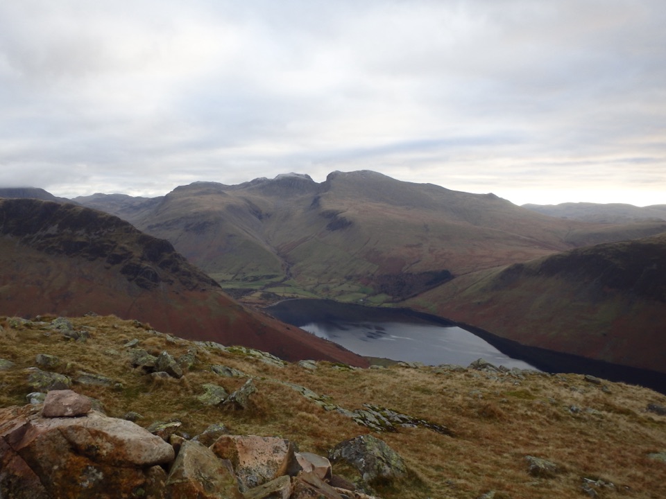 ChallengingMiddle Fell, Seatallan and Buckbarrow8.5 km · 4.5 hr · 0.1 km awayWastwater views, boggy saddles and three rough summits in one loop
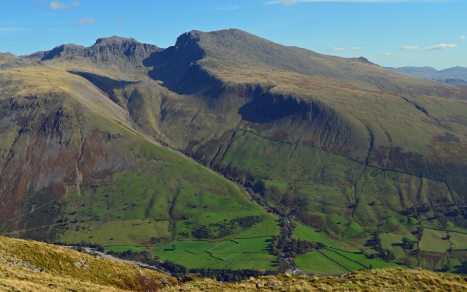 ChallengingYewbarrow Loop6.6 km · 4 hr · 2.6 km awayA steep summit loop with airy crags and big views over Wastwater
 ChallengingScafell Pike via Hollow Stones from Wasdale9 km · 5 hr · 4.2 km awayEngland’s highest summit by a direct, bouldery Wasdale climb
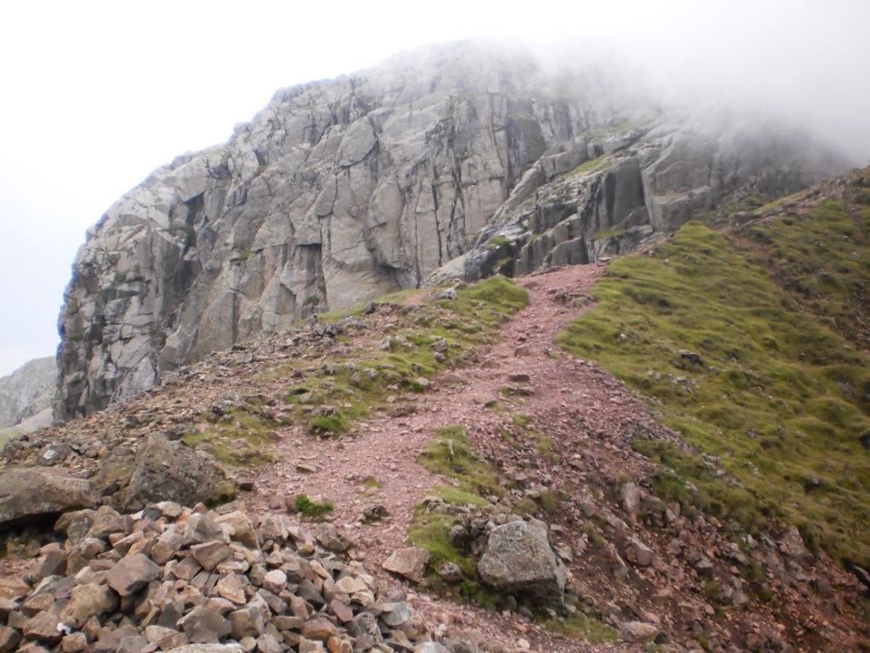 ChallengingScafell Pike via Mickledore8.4 km · 5.5 hr · 4.2 km awayScree, a hands-on gully and boulders to England's highest point
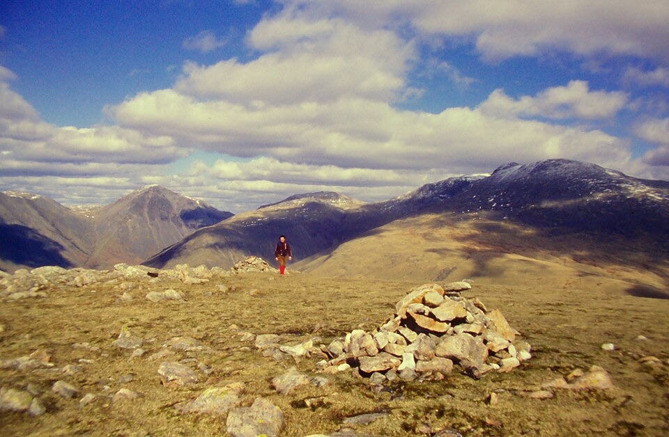 ChallengingIllgill Head and Whin Rigg15.8 km · 5.8 hr · 4.3 km awayCrag-edge ridge above England's deepest lake, with a quiet lakeside return
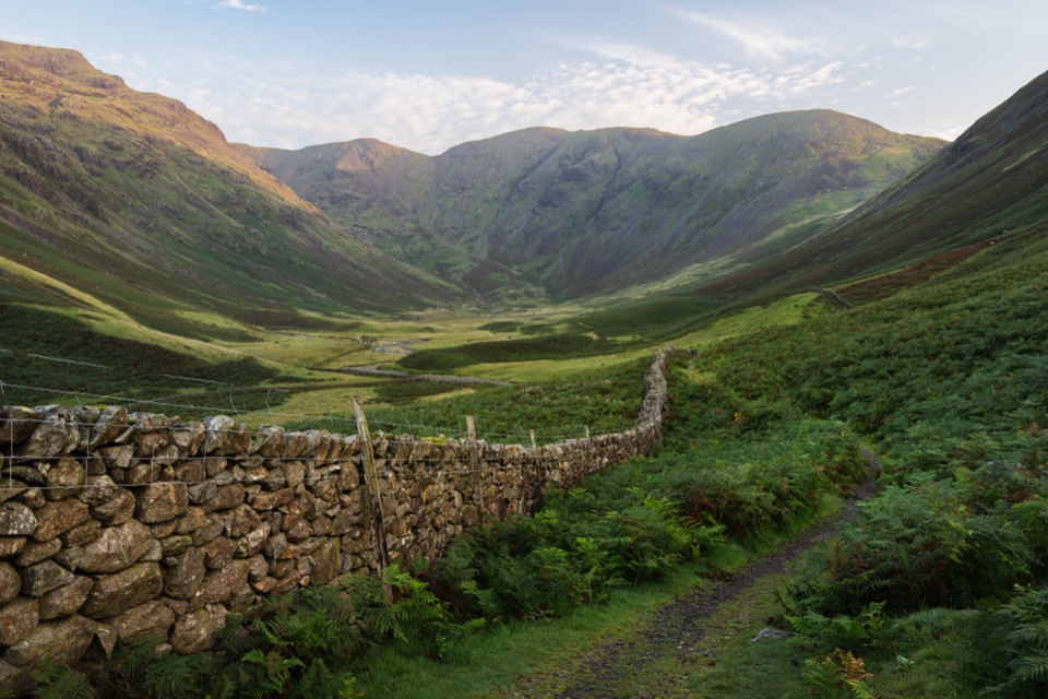 ChallengingPillar Trail from Wasdale Head12.1 km · 4.5 hr · 5.1 km awaySteep climb through Mosedale crags to an 892 m summit above EnnerdaleChallengingMosedale Horseshoe17.4 km · 8 hr · 5.1 km awayA hard 10.8 mile ridge loop over Pillar, Steeple and Red Pike
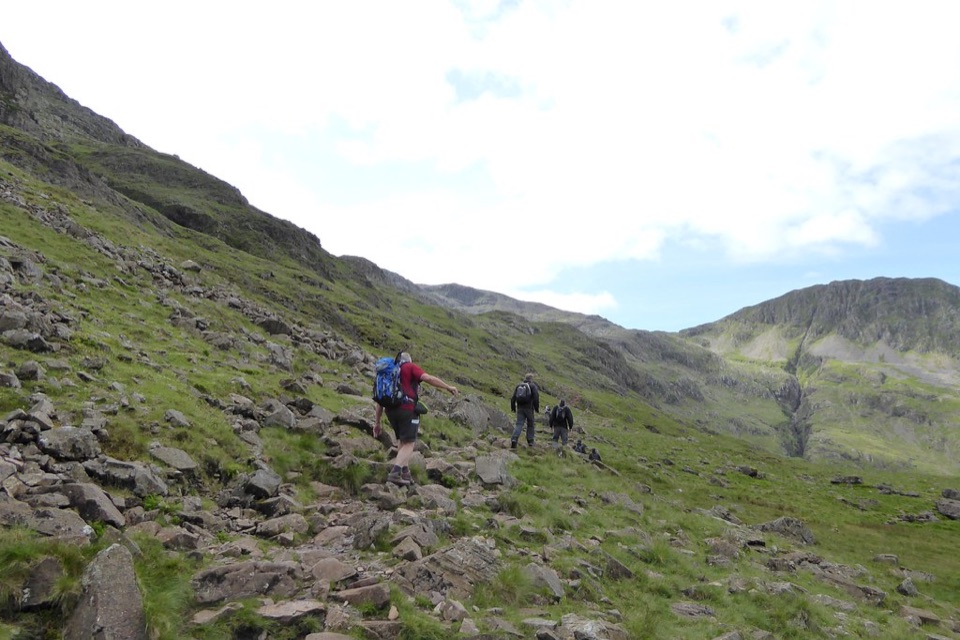 ChallengingScafell Pike via the Corridor Route from Wasdale12.2 km · 6 hr · 5.1 km awayQuiet high traverse up, boulder summit, fast Hollow Stones descent
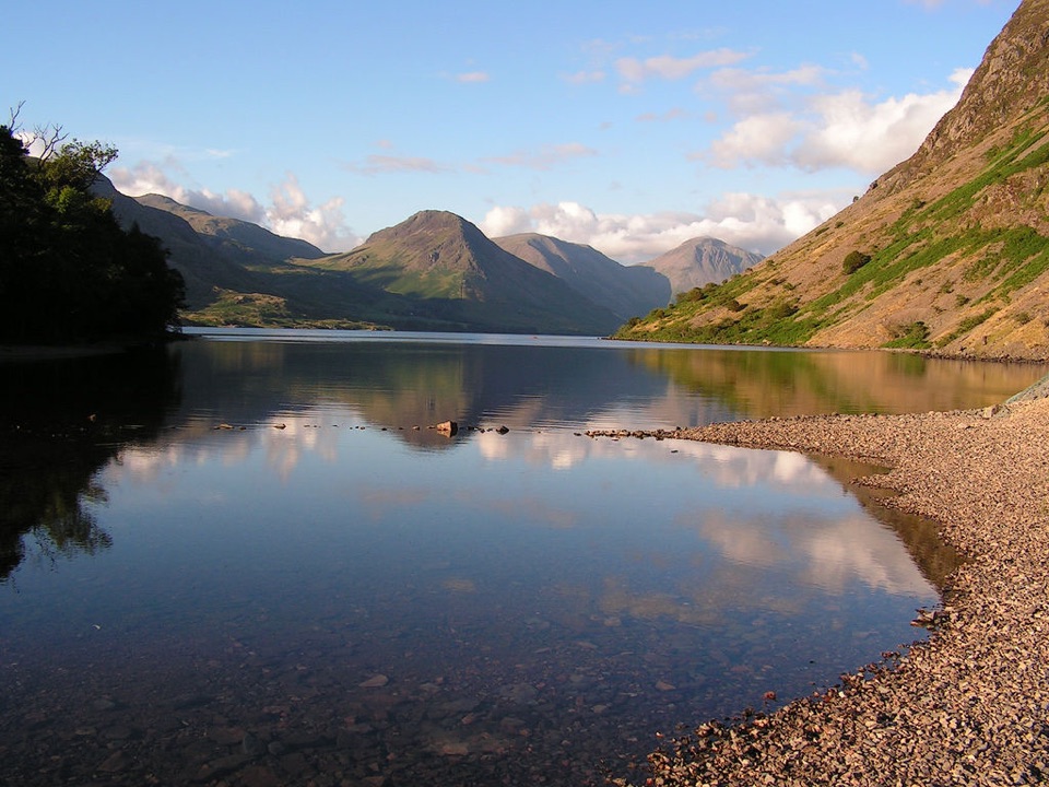 Sight · 1.9 km awayWast WaterThe deepest lake in England, hemmed in by the Wasdale Screes
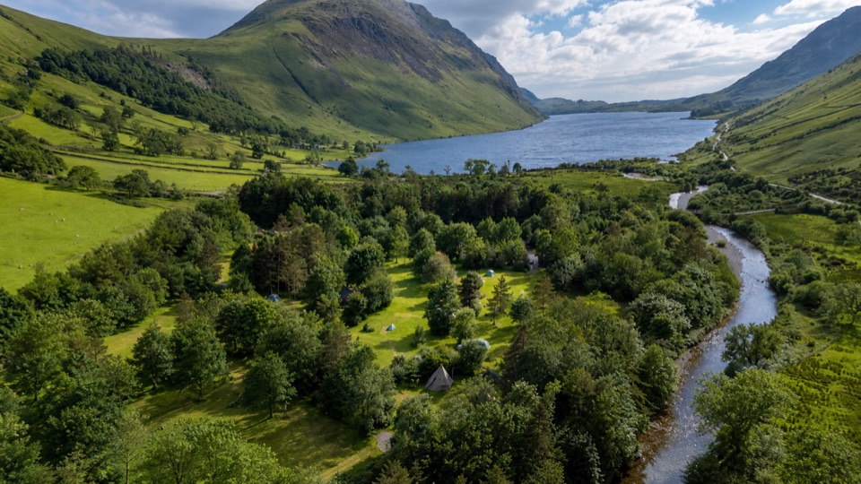 Campground · 4.3 km awayWasdale CampsiteA riverside base for Scafell Pike and the Wasdale valley
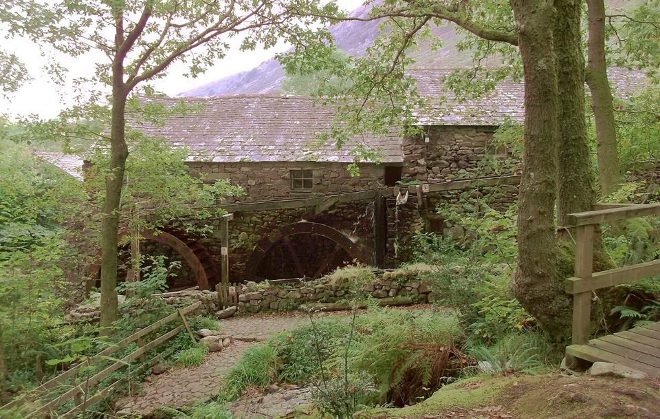 Sight · 5.5 km awayEskdale MillTwo working waterwheels bring 500 years of milling to life
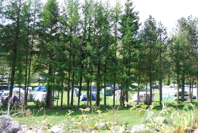 Campground · 5.7 km awayEskdale CampsiteRiverside camping below Hardknott Pass, with fells on the doorstepSight · 6.3 km awayScafellA rugged high summit with big views over Wastwater and Eskdale
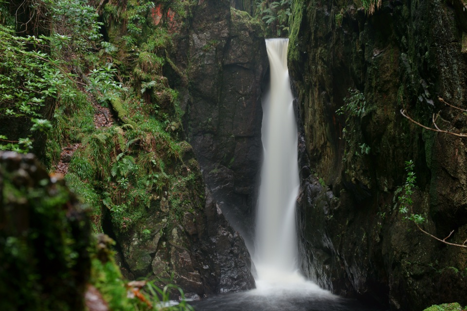 Sight · 6.8 km awayStanley GhyllA mossy ravine, footbridges, and a 60-foot waterfall
 Sight · 7.3 km awayScafell PikeEngland's highest summit, reached over a rough, weathered boulder field
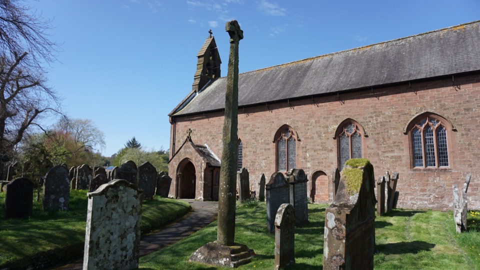 Sight · 7.5 km awayGosforth Cross and St Mary's ChurchA Viking cross where Norse myth meets Christian stonework
Parkwolf’s Lake District ranking
The audio tour guide for the drive, plus offline maps, trails, and wildlife heatmaps for when the signal drops.




