Grisedale Pike and Hopegill Head in Lake District National Park

Lake District National Park, EN

Grisedale Pike and Hopegill Head

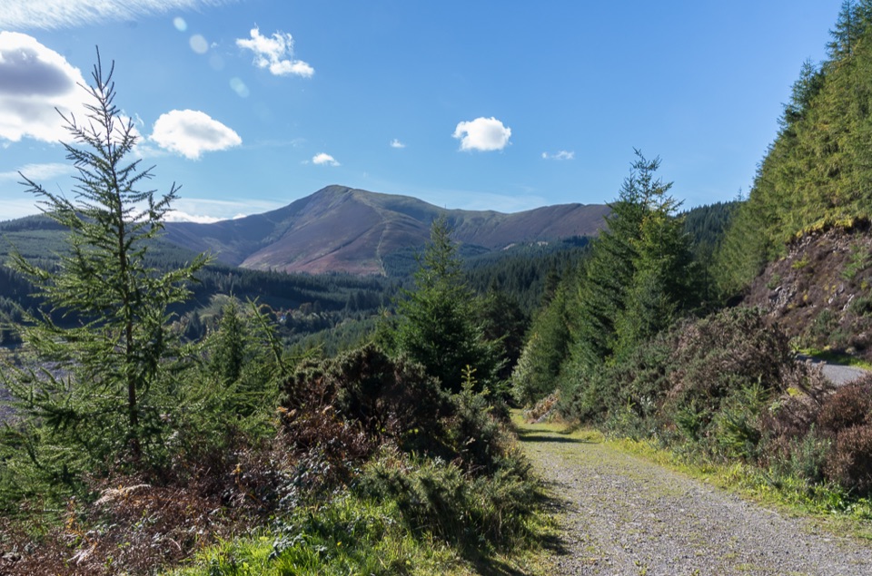
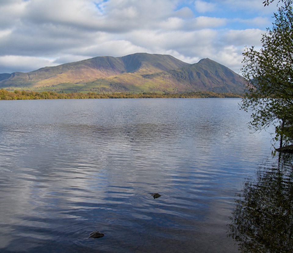
Steep ridge climb to two airy summits, mine ruins on return

Photo: Wikimedia Commons
Length
12km
Time
5.6hr
Elev. change
583m
Difficulty
Challenging
  • Loop
  • Dogs allowed
  • High point 756 m
  • #99 of 265 in Lake District

Hear the audio tour

Braithwaite: Coledale Ridge or Mine Walk

Overview

About Grisedale Pike and Hopegill Head

A circular fell loop of about 7.5 miles (12 km), measured as the full loop from Mall Quarry car park above Braithwaite and back. Allow roughly 5 to 6 hours at a steady walking pace, with around 2,400 feet of ascent.

Why go

  • Two fine summits and a genuinely airy connecting ridge
  • Long views over the north-western fells towards the Solway
  • Industrial heritage at Force Crag Mine on the quieter return

Heads up

  • Relentlessly steep opening climb with little warm-up
  • Very small trailhead car park that fills quickly
  • High ground offers no shelter from wind or weather

Map & elevation

The route

Loading the Lake District map
Full map
Elevation173–756 m
TrailheadMall Quarry car park above Braithwaite54.60327, -3.19776
Keep this map with you offline in the Parkwolf app

Plan your hike

Before you go

Parking

Start from Mall Quarry car park above Braithwaite, a short way up the Whinlatter Pass road (B5292) west of the village. It is a very small roadside lot and it is popular with fell walkers, so arriving early makes a real difference. Braithwaite village is the practical fallback and adds a short road section and extra distance in each direction. Do not block the pass road or field gateways.

Safety

The ridge above Hobcarton Crag has steep drops on the northern side, so keep well back from the crag edge, particularly in strong wind or when carrying a large pack. Ground on the climb and along the tops is rough, rocky and uneven, and the descent to Coledale Hause is loose in places. In mist the broad ground around Sand Hill and Coledale Hause is genuinely confusing, so carry map and compass and know how to use them rather than relying on a phone. Expect path diversions where erosion repair work has moved the line, and follow the marked route instead of cutting corners. Snow and ice make the ridge a winter mountaineering proposition needing axe, crampons and experience. Sheep graze the fell and the valley, so dogs must be leashed near livestock, and keep clear of the mine structures and any old workings in Coledale.

8 active Lake District alerts

  • ClosureChapel Stile footpath closed for retaining-wall riskPart of Footpath 543030 between Chapel Stile and Baysbrown campsite is closed because a retaining wall beside the path could collapse and material it supports could fall across the footpath.Official details
  • ClosureStanley Ghyll Lower Falls footpath closed for rockfallThe section of Footpath 408037 leading towards Stanley Ghyll Lower Falls is closed because severe rockfall damage has made the path unstable and further rockfall remains a danger.Official details
See all 8 alerts
A park ranger sits on a dash-mounted phone, talking, as Parkwolf’s Tour Guide plays “Army Cutworm Moths: A Grizzly Bear Buffet” on Grand Loop Road below Dunraven Pass in Yellowstone
Parkwolf Tour GuideThe highest, rockiest slopes around here are a summer buffet for grizzly bears.

Lake District Tour Guide

Your drive to Grisedale Pike and Hopegill Head, narrated.

Parkwolf is a GPS audio tour guide for Lake District National Park. As you drive, it chimes in with what’s ahead: hidden gems, upcoming stops, history, geology, and wildlife, right through your car’s speakers.

Recorded for this trailhead

Braithwaite: Coledale Ridge or Mine Walk
0:00 / 1:22
“You're approaching Braithwaite, the starting village for the Coledale Horseshoe and a gentler walk into the valley beneath it.”

Plays as you drive up to this trailhead in the Parkwolf Lake District Tour Guide.

More stories near here in the app

  • Noble Knott: Two Short Woodland Loops
  • Causey Pike: Scramble and Ridge Loop
  • Whinlatter: Beck Walk or Summit View
  • Barf and Lord's Seat from Powter How
  • 298 audio storiesacross Lake District’s roads, triggered by GPS as you drive
  • Wildlife heatmapsfor Red Deer, Eurasian Otter, Osprey, and 13 more
  • Works offlinemaps, 265 trails, 89 places, and audio download before you lose signal
  • CarPlay readysimple controls built for the drive
★★★★★
“Fantastic app with many points of information… It’s great to just turn on while you’re driving and it gives you an audio tour of the national Park. We love it!!!!”
JMJamesApp Store review
Download Parkwolf on the App StoreGet Parkwolf on Google Play

4.7 from 8,600+ ratings

Trail guide

Hiking Grisedale Pike and Hopegill Head

Sequence and payoffThe walk gains height almost immediately over Kinn and Sleet How, a long staircase of fell path…

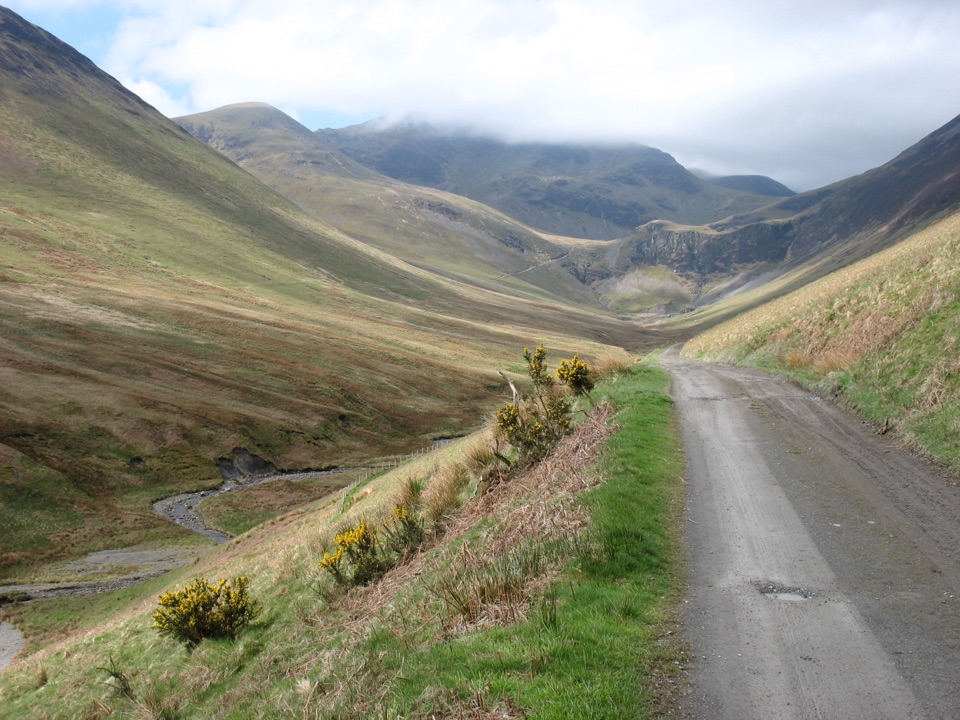
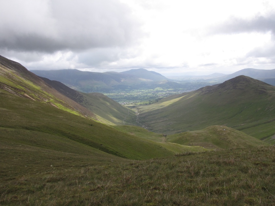
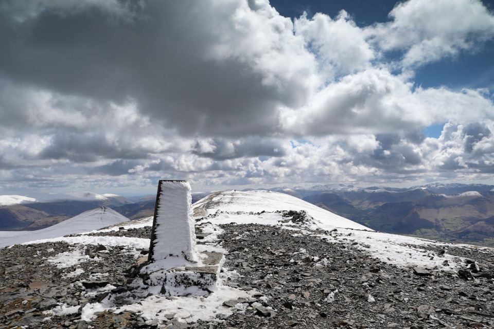
The walk gains height almost immediately over Kinn and Sleet How, a long staircase of fell path that leads directly to the summit of Grisedale Pike. From there the ridge runs above Hobcarton Crag to Hopegill Head, then over Sand Hill and down to Coledale Hause. The return drops into the Coledale valley, following the beck past Force Crag Mine on an easier track back to the start.

Difficulty and footingThis is a hard hill day rather than a casual outing.

This is a hard hill day rather than a casual outing. The ascent is sustained and steep, the summits and connecting ridge are rough and rocky, and the high ground is open and exposed to wind. The Coledale return is gentler underfoot but still a long descent on stony ground. Paths on the fell can be rerouted around erosion repairs, so follow the line that is currently in use.

Scenery and photographyThe high section opens views across the north-western fells and out towards the Solway and the…

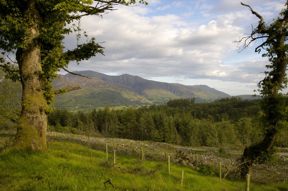
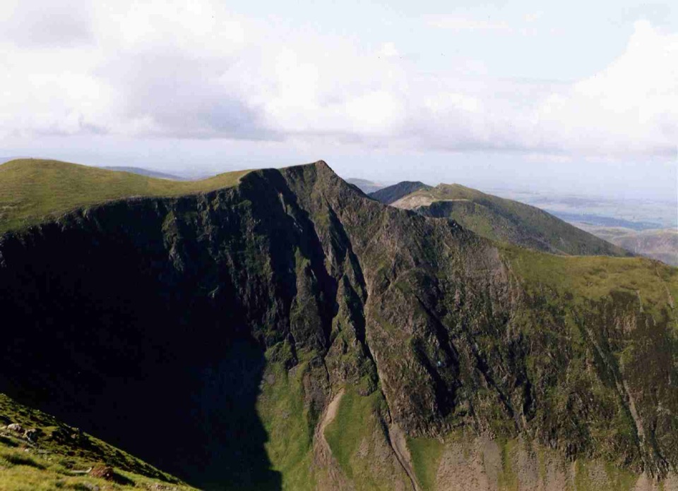
The high section opens views across the north-western fells and out towards the Solway and the Irish Sea. The best subjects are close at hand: the dark cliffs of Hobcarton Crag, the arc of the ridge to Hopegill Head, and the deep bowl of Coledale. Early and late light rakes across the crags and gives the ridge line real depth. Clear, settled conditions are worth waiting for, since the whole appeal is the view.

Heritage in ColedaleForce Crag Mine, a nineteenth century barytes and zinc working, sits in the valley on the way…

Force Crag Mine, a nineteenth century barytes and zinc working, sits in the valley on the way back and is a protected heritage site. It is a striking industrial feature in an otherwise wild valley, and it makes a natural pause before the final easy miles.

Access and dogsThe walk crosses open access fell and needs no special arrangement.

The walk crosses open access fell and needs no special arrangement. Dogs are welcome, but sheep graze widely here, so keep dogs on a lead wherever livestock may be present and under close control on the ridge.

Wildlife

Wildlife in Lake District

All Lake District wildlife maps

Sighting maps show where each species has been reported across Lake District. Wildlife moves, so no sighting is guaranteed.

Keep exploring

Near Grisedale Pike and Hopegill Head

See it all on the map

Trails that start nearby

Places near the trailhead

Parkwolf’s Lake District ranking

Top-rated trails in Lake District

All 265 trails
  1. 1Scafell Pike via Hollow Stones from WasdaleChallenging · 9 km
  2. 2Helvellyn via Striding Edge and Swirral EdgeChallenging · 12.4 km
  3. 3CatbellsModerate · 6.6 km
  4. 4The Old Man of ConistonChallenging · 9 km
  5. 5Buttermere CircularEasy · 7.6 km
  6. 6The Fairfield HorseshoeChallenging · 17.2 km

Take Parkwolf to Lake District.

The audio tour guide for the drive, plus offline maps, trails, and wildlife heatmaps for when the signal drops.

4.7 from 8,600+ ratings

Download Parkwolf on the App StoreGet Parkwolf on Google Play