Parking
Start at the main car park beside Whinlatter Forest Visitor Centre on Whinlatter Pass, Keswick, CA12 5TW. This is the correct access for the loop, and parking is paid. Do not navigate to the Seat How viewpoint itself.
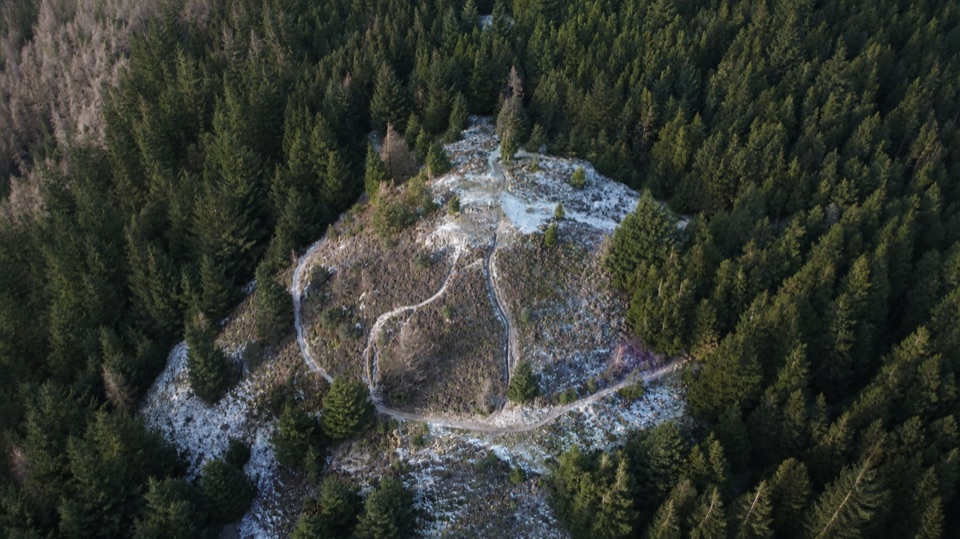
Lake District National Park, EN
A short climb to open views over forest, lakes, and northern fells
Overview
Map & elevation
Plan your hike

The highest, rockiest slopes around here are a summer buffet for grizzly bears.
Lake District Tour Guide
Parkwolf is a GPS audio tour guide for Lake District National Park. As you drive, it chimes in with what’s ahead: hidden gems, upcoming stops, history, geology, and wildlife, right through your car’s speakers.
Recorded for this trailhead
Whinlatter: Beck Walk or Summit View“You're coming up on Whinlatter Forest's visitor centre, where you can choose between a walk beside tumbling water and a climb above the trees.”
Plays as you drive up to this trailhead in the Parkwolf Lake District Tour Guide.
More stories near here in the app
“Fantastic app with many points of information… It’s great to just turn on while you’re driving and it gives you an audio tour of the national Park. We love it!!!!”


Trail guide
This is a 3.5-mile circular walk from the main visitor-centre car park. It climbs on wide forest tracks and narrower paths through conifers, reaches open heather at Seat How, then loops back through the forest. The summit section is the payoff, with views across Bassenthwaite and Derwentwater toward Skiddaw, plus the Helvellyn range in good visibility. Allow about 2 to 3 hours for the full loop with ordinary stops.
The distance is modest, but the opening climb is sustained and steep enough to make this a moderate walk rather than an effortless stroll. Underfoot, expect gravel and forest tracks below the trees, then rougher path over open heather and rocky ground near the top. The forest hides the wider scenery for much of the ascent, so the walk earns its views instead of delivering them continuously. Shared forest tracks are used by walkers, cyclists, and horse riders, so take care at bends and junctions.
Dogs are allowed on this route, but keep them under control around other trail users and wildlife. The walk starts from the visitor-centre area and follows signed trails through the forest. If you want a substantially longer and more open fell day, the nearby Lord's Seat and Barf route uses part of this network but is a different, much bigger outing.
Wildlife
 81 sightingsRed DeerMost seen around 7 PMSighting map
 13 sightingsEurasian OtterMost seen around 6 AMSighting map
 76 sightingsOspreyMost seen around 8 AMSighting map
 51 sightingsEuropean BadgerMost seen around 8 PMSighting map
 233 sightingsMute SwanMost seen around 6 PMSighting map
 176 sightingsGrey HeronMost seen around 7 AMSighting map
Sighting maps show where each species has been reported across Lake District. Wildlife moves, so no sighting is guaranteed.
Keep exploring
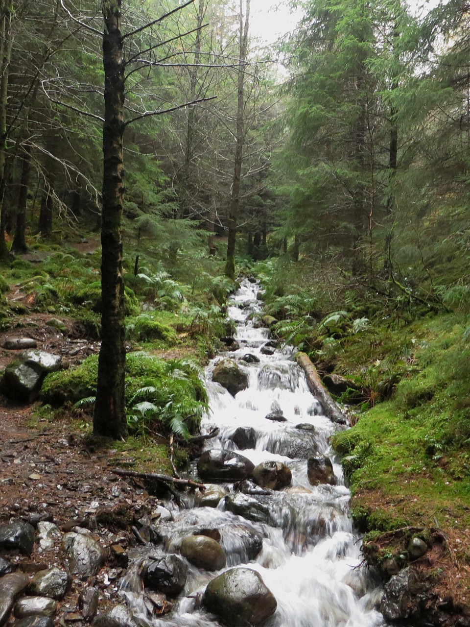 ModerateComb Beck Trail2.8 km · 1 hr · At the trailheadStreamside forest loop past an ancient sheepfold and a disused dam
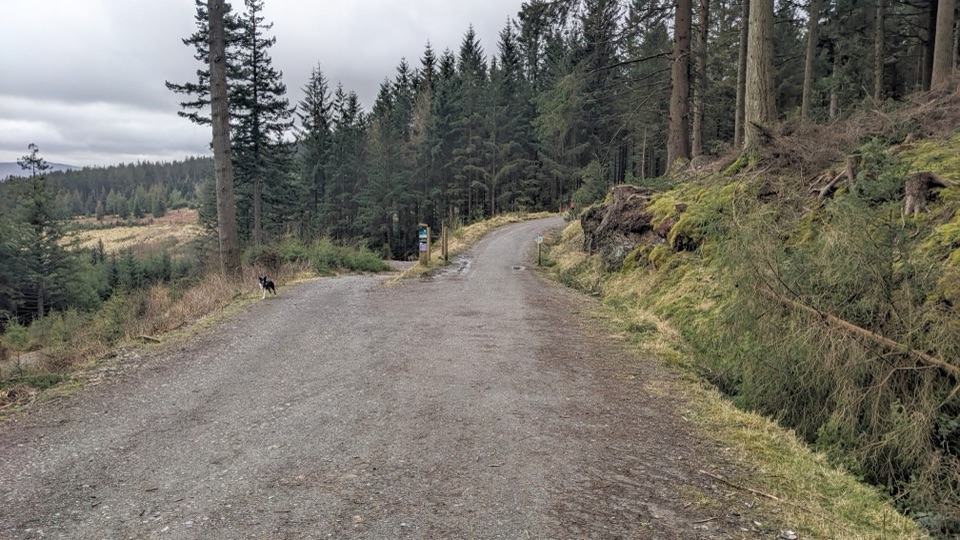 EasyWow Trail7.2 km · 3 hr · 0.1 km awaySurfaced forest loop to a wildlife hide and lake views
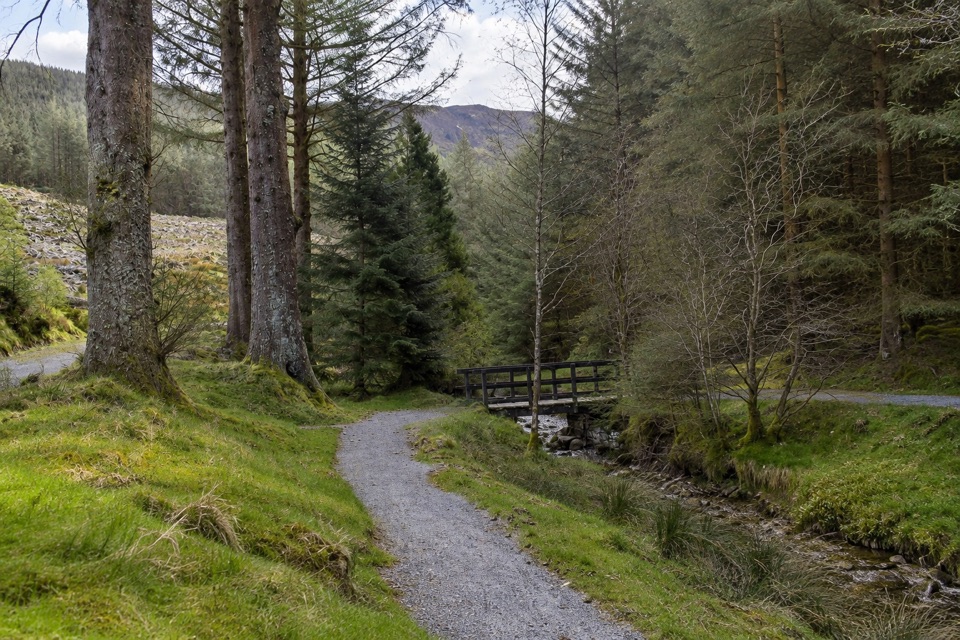 EasyRevelin Moss Trail, Whinlatter1.8 km · 45 min · 0.2 km awayShort gravel forest loop by a beck, Grisedale Pike looming above
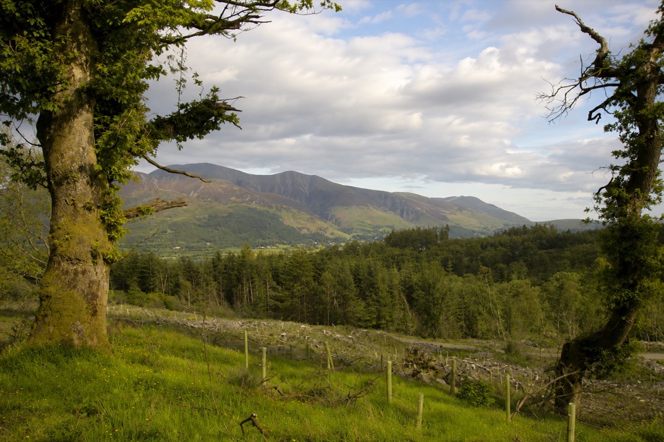 ModerateHeavy Sides Trail2.4 km · 1 hr · 1.5 km awayA short, steep woodland climb to Skiddaw and Bassenthwaite views
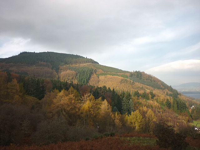 EasyMasmill Beck Trail2 km · 45 min · 1.5 km awayShort ancient-oak loop with a Bassenthwaite Lake view on the return
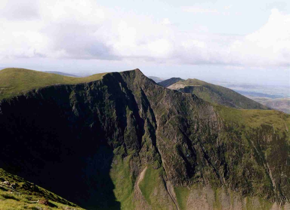 ChallengingGrisedale Pike and Hopegill Head12 km · 5.6 hr · 2 km awaySteep ridge climb to two airy summits, mine ruins on return
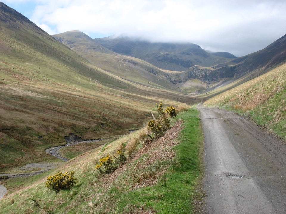 ModerateBraithwaite to Force Crag Mine7.4 km · 3 hr · 2 km awayGravel mine track climbs gently into Coledale to a preserved mine site
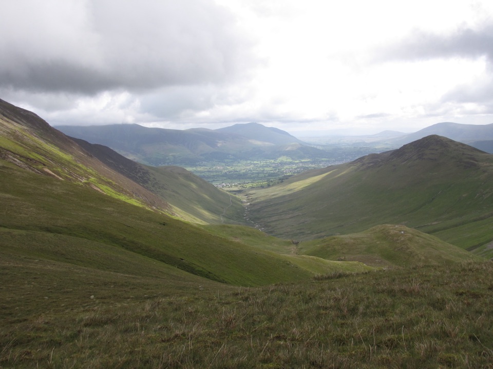 ChallengingThe Coledale Horseshoe15 km · 7 hr · 2.2 km awayRidge-walk the rim of a glacial valley over five rugged summits
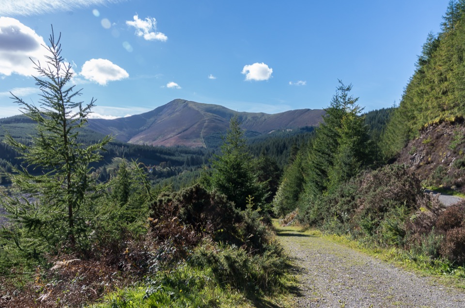 Sight · At the trailheadWhinlatter ForestMountain trails, big fell views, and family paths in a working forest
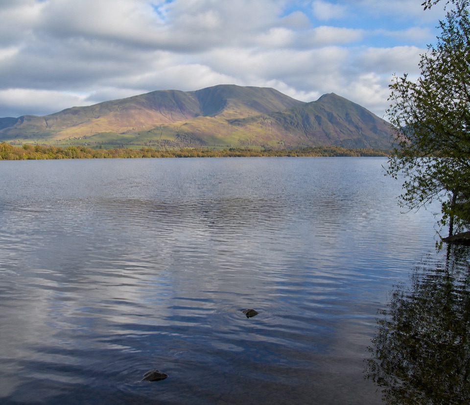 Sight · 4.9 km awayBassenthwaite LakeA quiet wildlife-rich lake beneath Skiddaw
 Sight · 5.8 km awayCat BellsA short rocky climb to a huge Derwentwater panorama
 Sight · 5.8 km awayKeswickA lively market town framed by Derwentwater and mountain walks
 Sight · 6 km awayFriar's CragA level lakeside path to Keswick's classic Derwentwater view
 Sight · 6.2 km awayDerwentwaterA mountain lake with islands, wooded shores, and classic fell views
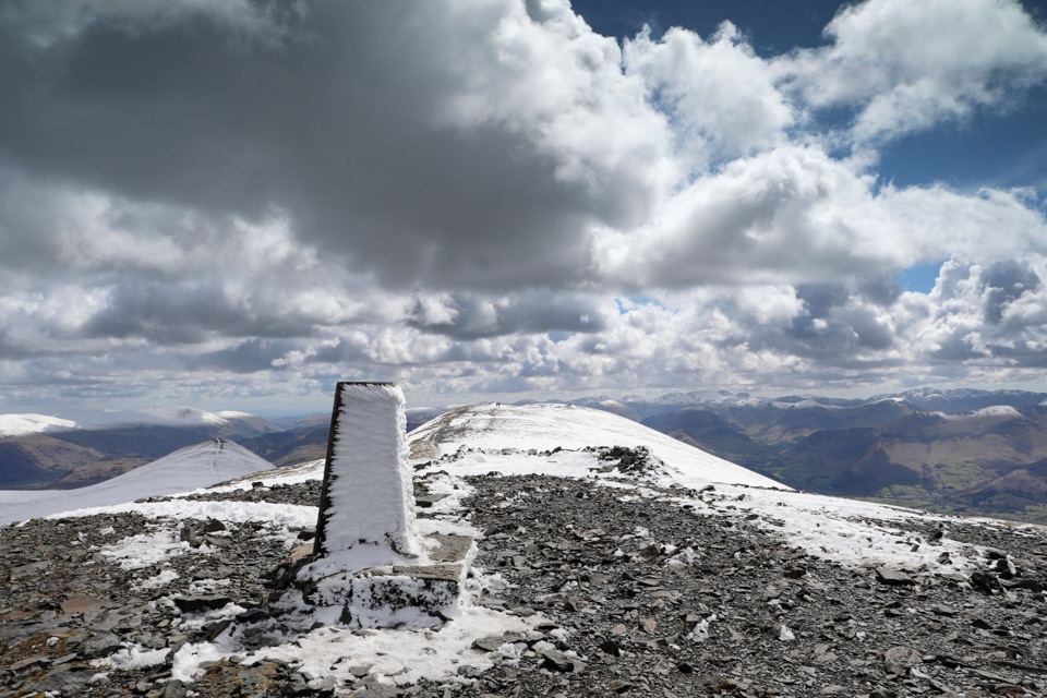 Sight · 6.9 km awaySkiddawA broad, windswept summit with huge views over the northern Lakes
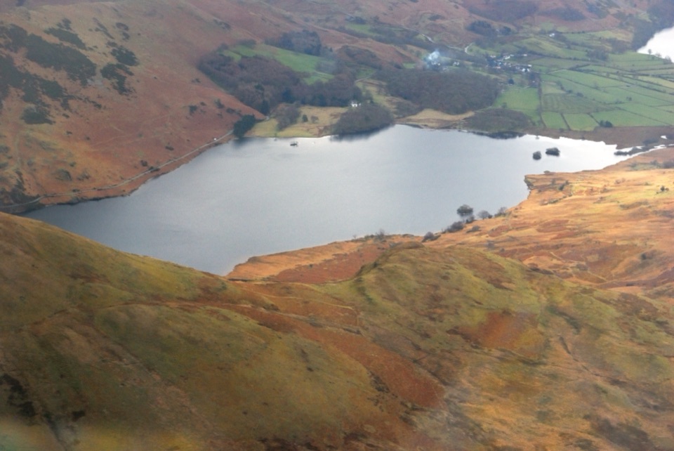 Sight · 7.5 km awayCrummock WaterA clear lake beneath an amphitheater of rugged western fells
Parkwolf’s Lake District ranking

The audio tour guide for the drive, plus offline maps, trails, and wildlife heatmaps for when the signal drops.





