Parking
Roadside lay-by at the Old School House, Wythop Mill; space for about six vehicles. Do not block the lane or field access, and have an alternative plan if full.
Lake District National Park, EN
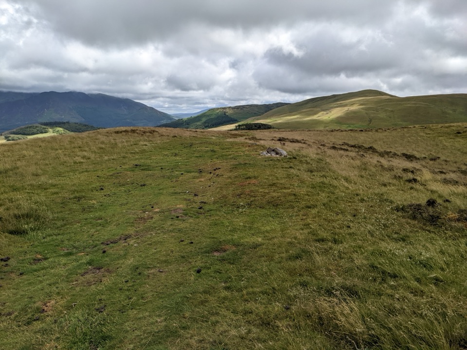
A quiet grassy summit above Wythop Valley with wide Skiddaw views
Overview
Ling Fell Loop is a circular fell walk of 2.7 miles for the complete loop, with about 233 m of ascent to a 373.7 m summit. Most walkers take 1.5 to 2.5 hours, around 2 hours being typical. The mapped route is the loop only and does not include the longer Sale Fell extension.
Map & elevation
Plan your hike

The highest, rockiest slopes around here are a summer buffet for grizzly bears.
Lake District Tour Guide
Parkwolf is a GPS audio tour guide for Lake District National Park. As you drive, it chimes in with what’s ahead: hidden gems, upcoming stops, history, geology, and wildlife, right through your car’s speakers.
Recorded for this trailhead
Ling Fell: A Quiet Two-Hour Loop“Ling Fell's walking start is coming up at Wythop Mill, a good choice for a quiet couple of hours on a rounded grassy hill. The full loop is two point seven miles, with about two hundred and thirty metres of climbing.”
Plays as you drive up to this trailhead in the Parkwolf Lake District Tour Guide.
More stories near here in the app
“Fantastic app with many points of information… It’s great to just turn on while you’re driving and it gives you an audio tour of the national Park. We love it!!!!”


Trail guide
The summit gives wide, open views for a small amount of effort: Skiddaw, neighbouring Sale Fell, Bassenthwaite, Grisedale Pike and Hopegill Head, and out toward Cockermouth. The Wythop Valley setting usually feels uncrowded, and the walk suits a short half day or an unhurried evening outing when the light is good. Clear conditions matter, both for the views and for picking out the line of the paths.
Moderate in practical terms rather than hard. Surfaces are open fell grass, a rough grassy path, an old track and a short section of quiet lane. Nothing is surfaced or engineered on the fell, the climb is steady rather than steep, and walkers often describe the route as easy to follow and manageable for shorter legs. Wet and muddy ground is possible, so wear boots with grip.
The fell is fully open, with no shade, shelter, dependable water or facilities anywhere on the route. The dome has no major cliff edges on this line, but wind and rain hit hard on top and the paths become much less obvious in cloud, so carry a map and compass and the skills to use them if visibility looks doubtful.
Parking is a roadside lay-by at the Old School House, Wythop Mill, with room for roughly six vehicles and no parking fee recorded. Space is genuinely limited and cannot be relied on, so arrive early or have an alternative plan. The route begins at the roadside, a few steps from where you park.
Dogs are welcome on this public route, which crosses open grazing and access land. Keep dogs under close control near livestock. The Lake District National Park states that dogs must be on leads anywhere livestock may be present, and on open access land a fixed lead no longer than two metres is legally required from 1 March to 31 July to protect ground-nesting birds.
As a quick, quiet summit with broad fell views, this loop earns its place. It is less dramatic than the nearby Sale Fell round, and the paths here are narrower and rougher. It is also much shorter and less substantial than the combined Ling Fell and Sale Fell circuit, which is the better choice if you want a fuller day on the fells.
Wildlife
 81 sightingsRed DeerMost seen around 7 PMSighting map
 13 sightingsEurasian OtterMost seen around 6 AMSighting map
 76 sightingsOspreyMost seen around 8 AMSighting map
 51 sightingsEuropean BadgerMost seen around 8 PMSighting map
 233 sightingsMute SwanMost seen around 6 PMSighting map
 176 sightingsGrey HeronMost seen around 7 AMSighting map
Sighting maps show where each species has been reported across Lake District. Wildlife moves, so no sighting is guaranteed.
Keep exploring
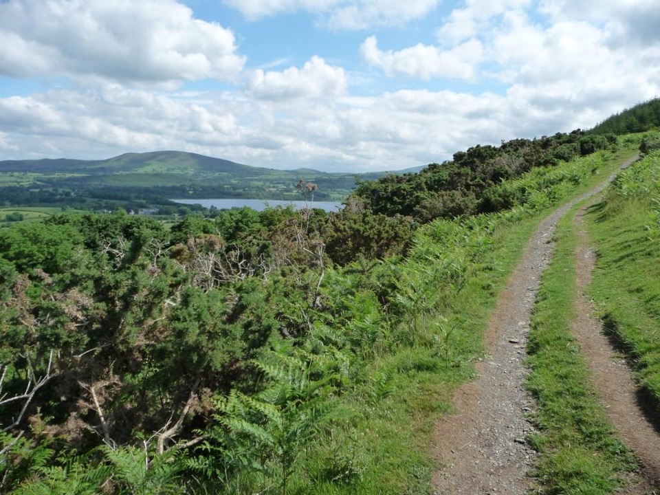 ModerateSale Fell3.2 km · 1.5 hr · 1.7 km awayQuiet two-mile loop with wide Bassenthwaite and Skiddaw views
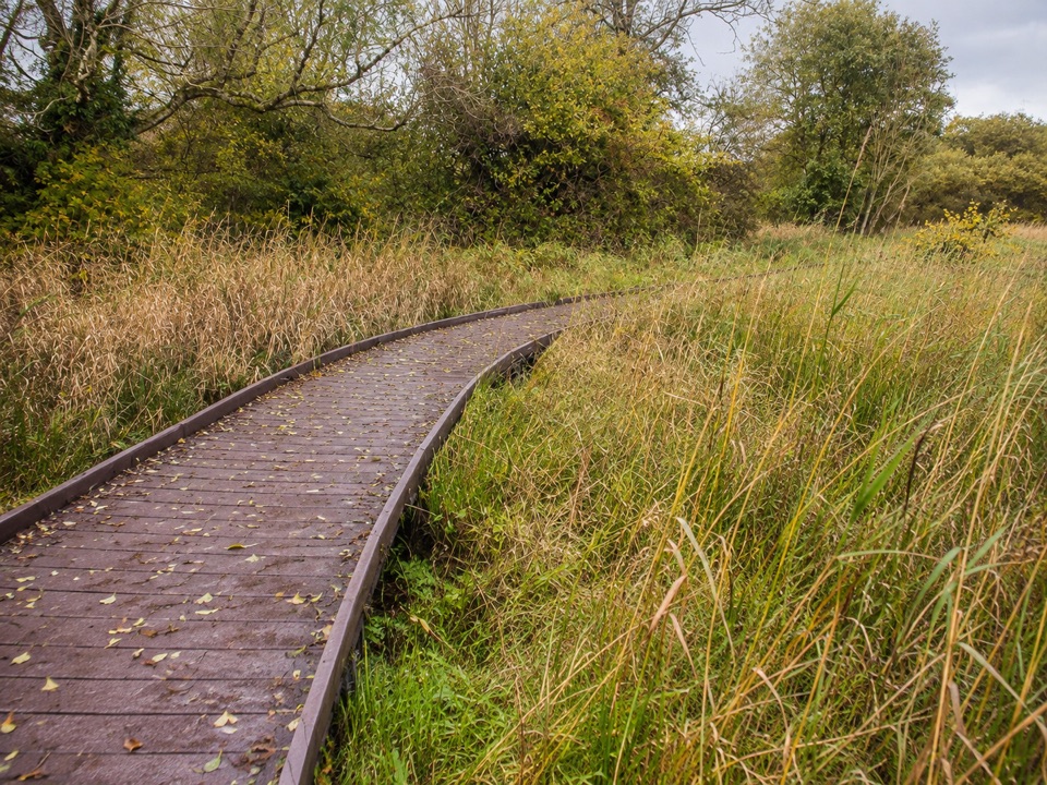 EasyDubwath Silver Meadows and Ouse Bridge1.5 km · 45 min · 2.7 km awayBoardwalk and stone paths loop across fen, meadow and willow carr
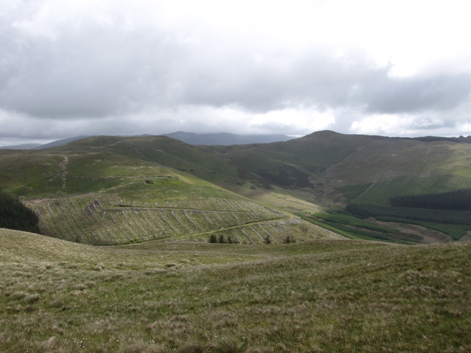 ModerateGraystones, Broom Fell and Lord's Seat10.6 km · 4 hr · 3.6 km awayA steep grassy climb onto a quiet rolling ridge above Whinlatter forest
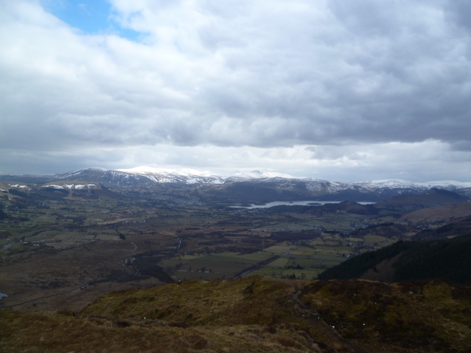 ModerateBarf, Lord's Seat, Ullister Hill and Seat How Loop8 km · 3.3 hr · 5.2 km awayFour summits, steep woodland, boggy tops, and a big Bassenthwaite view
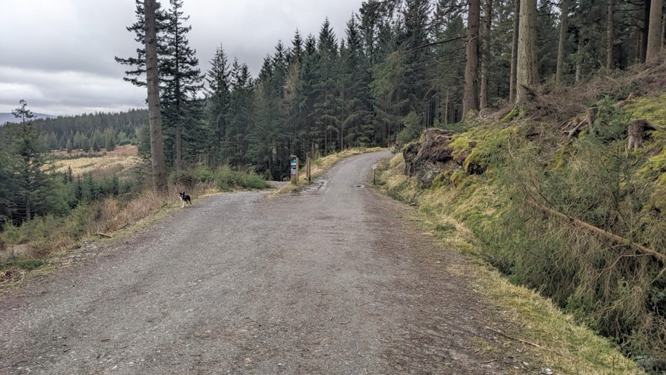 EasyWow Trail7.2 km · 3 hr · 5.8 km awaySurfaced forest loop to a wildlife hide and lake views
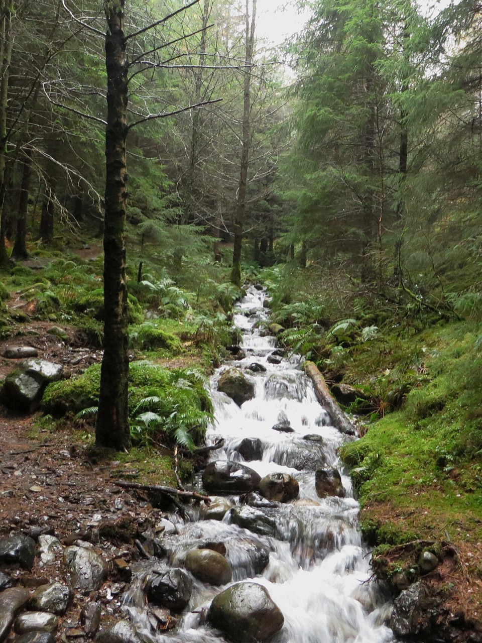 ModerateComb Beck Trail2.8 km · 1 hr · 5.8 km awayStreamside forest loop past an ancient sheepfold and a disused dam
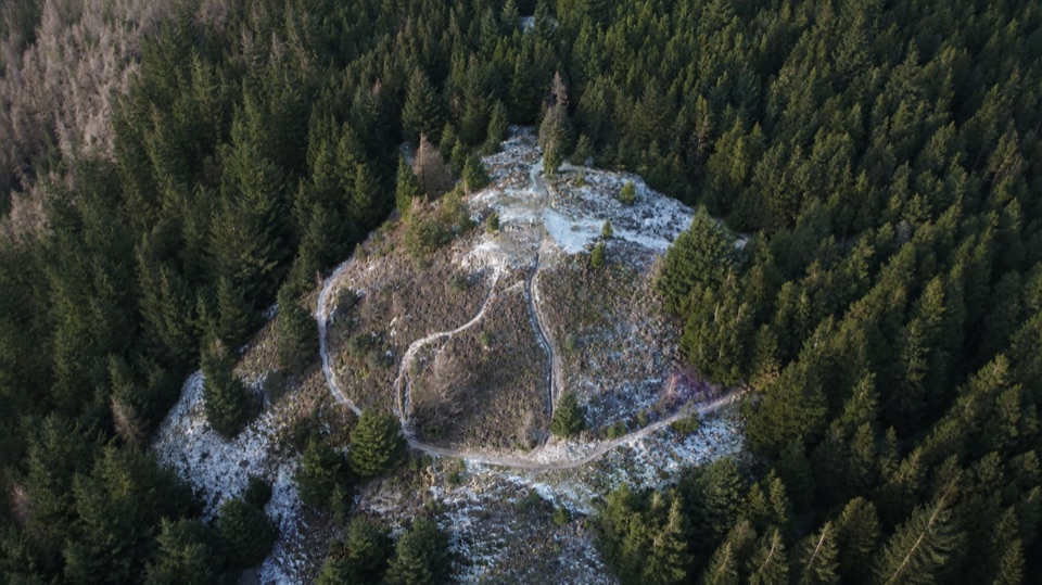 ModerateSeat How Summit Trail5.6 km · 2.5 hr · 5.8 km awayA short climb to open views over forest, lakes, and northern fells
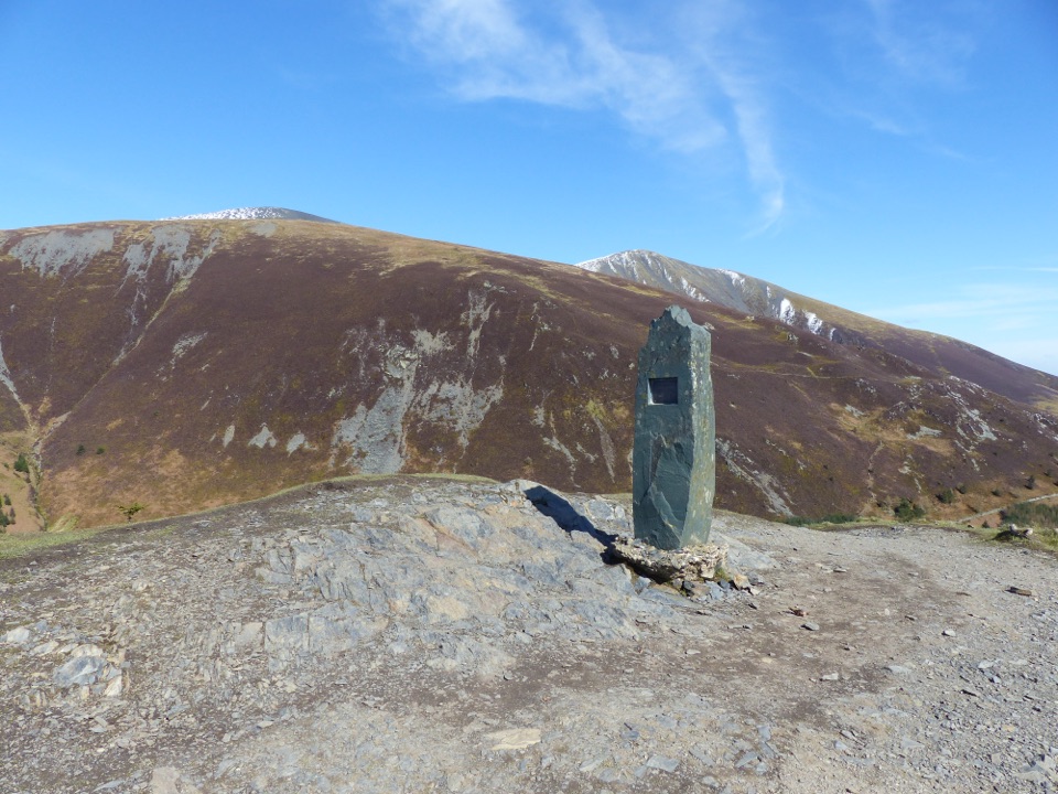 ChallengingDodd Summit Trail6.4 km · 3 hr · 5.9 km awaySteep forest climb to a 502 m fell summit with lake-and-coast views
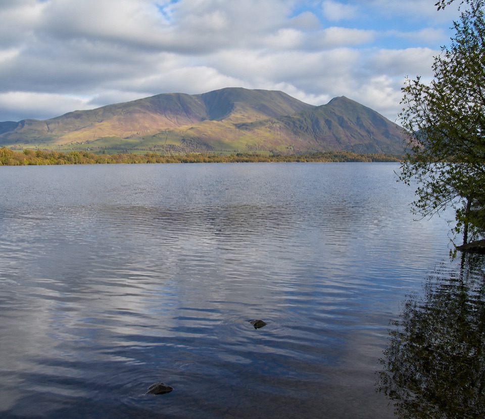 Sight · 3.9 km awayBassenthwaite LakeA quiet wildlife-rich lake beneath Skiddaw
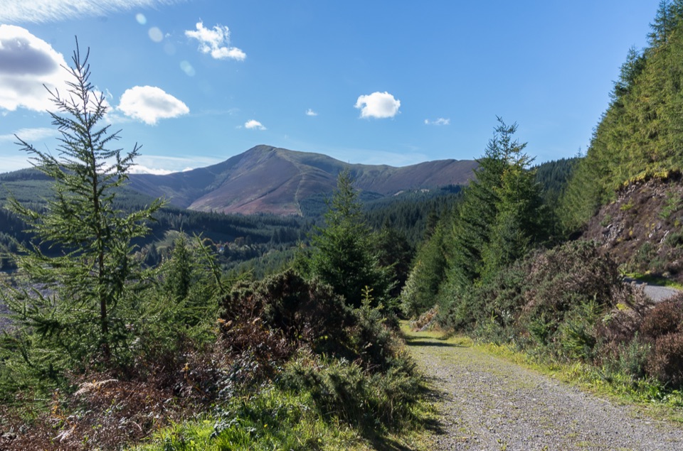 Sight · 5.8 km awayWhinlatter ForestMountain trails, big fell views, and family paths in a working forest
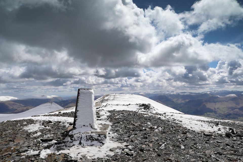 Sight · 8.3 km awaySkiddawA broad, windswept summit with huge views over the northern Lakes
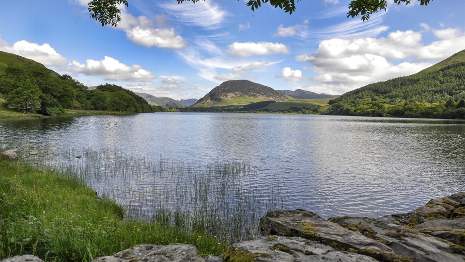 Sight · 9.3 km awayLoweswaterQuiet woodland, water and fell views on an unusually gentle lake walk
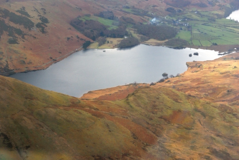 Sight · 10.7 km awayCrummock WaterA clear lake beneath an amphitheater of rugged western fells
 Sight · 10.7 km awayKeswickA lively market town framed by Derwentwater and mountain walks
 Sight · 11.2 km awayFriar's CragA level lakeside path to Keswick's classic Derwentwater view
 Sight · 11.7 km awayCat BellsA short rocky climb to a huge Derwentwater panorama
Parkwolf’s Lake District ranking

The audio tour guide for the drive, plus offline maps, trails, and wildlife heatmaps for when the signal drops.





