Parking
Use the informal roadside parking by the entrance on the minor road about 200 m north of the Pheasant Inn (CA13 9YL). Park considerately and leave room for farm vehicles and less able visitors.
Lake District National Park, EN
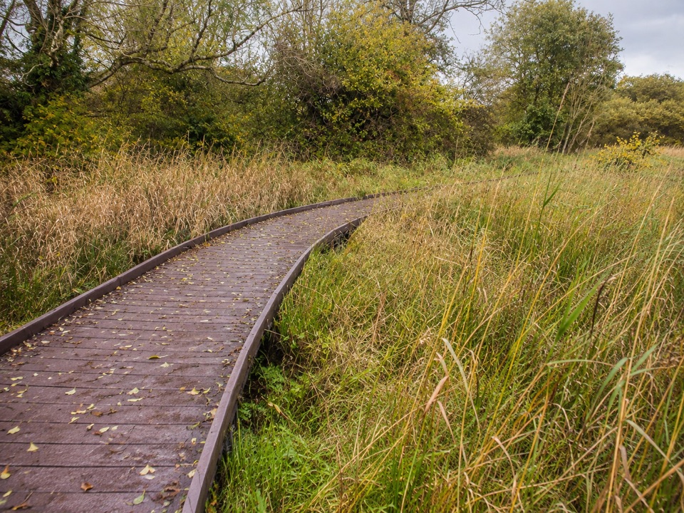
Boardwalk and stone paths loop across fen, meadow and willow carr
Overview
A low-level circular wetland walk at Dubwath Silver Meadows and Ouse Bridge in the Lake District National Park, listed as Miles Without Stiles 27. Distance is about 1.46 km (0.91 miles), roughly half an hour at an easy pace. Some route materials quote a longer distance and time, so treat the shorter figure as the current listed length for the connected route on the ground.
Map & elevation
Plan your hike

The highest, rockiest slopes around here are a summer buffet for grizzly bears.
Lake District Tour Guide
Parkwolf is a GPS audio tour guide for Lake District National Park. As you drive, it chimes in with what’s ahead: hidden gems, upcoming stops, history, geology, and wildlife, right through your car’s speakers.
Recorded for this trailhead
Dubwath Silver Meadows: Wetland Boardwalk“You're approaching Dubwath Silver Meadows, a good stop for a gentle walk through wetlands with plenty of places to pause and watch wildlife.”
Plays as you drive up to this trailhead in the Parkwolf Lake District Tour Guide.
More stories near here in the app
“Fantastic app with many points of information… It’s great to just turn on while you’re driving and it gives you an audio tour of the national Park. We love it!!!!”


Trail guide
The start is on the minor road about 200 m north of the Pheasant Inn, CA13 9YL, grid reference NY 198309. Access is free and permissive, and the site is open all year.
Stone paths and a recycled-plastic boardwalk carry the loop across fen, wet heath, hay meadow, wet woodland and willow carr. Viewing points, hides and wattle-and-daub and willow shelters are spaced along the way, so the circuit is a series of short stops rather than one long stretch. The payoff is close-up wetland habitat at eye level from firm, level going.
Low level with no fell ascent and no stiles. Suitable for wheelchairs, pushchairs and trampers. Mobility scooters are limited to class 2 or 3.
Birds use a feeding station on site. Roe deer are present, and small pearl-bordered fritillary occurs with marsh violet. Osprey is an occasional summer sighting. Badger has been reported, along with bats, red squirrel, voles and mice.
Parking is informal at the roadside by the entrance. Leave room for farm vehicles and for less able visitors. Arriving by bus involves crossing the busy A66, and there is no dropped kerb at Dubwath.
Dogs are allowed but must be on a lead at all times. There is deep water in places and the site can flood. This is a working farm, so keep to the paths and boardwalk.
Quiet daylight wildlife watching, and photography of the boardwalk, reeds and shelters.
Wildlife
 81 sightingsRed DeerMost seen around 7 PMSighting map
 13 sightingsEurasian OtterMost seen around 6 AMSighting map
 76 sightingsOspreyMost seen around 8 AMSighting map
 51 sightingsEuropean BadgerMost seen around 8 PMSighting map
 233 sightingsMute SwanMost seen around 6 PMSighting map
 176 sightingsGrey HeronMost seen around 7 AMSighting map
Sighting maps show where each species has been reported across Lake District. Wildlife moves, so no sighting is guaranteed.
Keep exploring
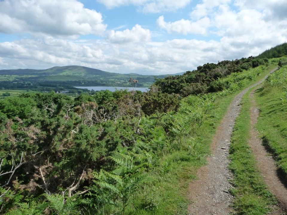 ModerateSale Fell3.2 km · 1.5 hr · 1 km awayQuiet two-mile loop with wide Bassenthwaite and Skiddaw views
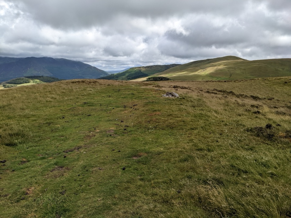 ModerateLing Fell Loop4.3 km · 2 hr · 2.7 km awayA quiet grassy summit above Wythop Valley with wide Skiddaw views
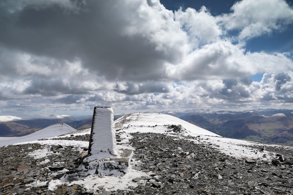 ChallengingSkiddaw via Longside Edge13.4 km · 6 hr · 3.8 km awayWindswept ridge, rough mountain paths, and a hard-earned Skiddaw summit
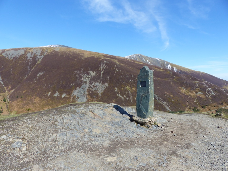 ChallengingDodd Summit Trail6.4 km · 3 hr · 4.7 km awaySteep forest climb to a 502 m fell summit with lake-and-coast views
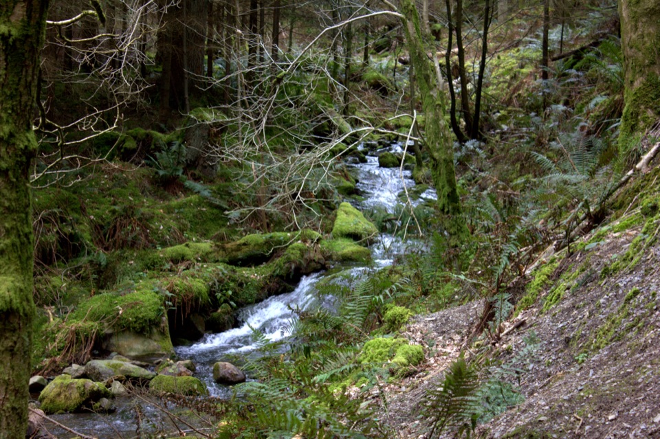 ModerateDouglas Fir Trail1.6 km · 45 min · 4.7 km awayA mile among towering Douglas firs on Dodd Wood's lower slopes
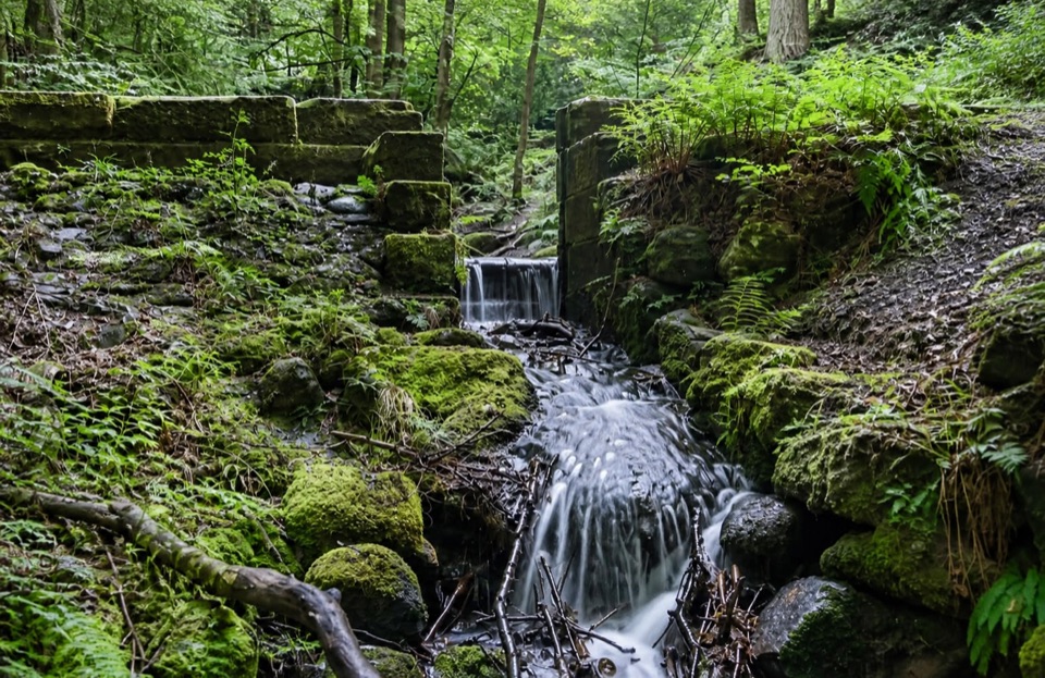 ModerateSandbed Gill Trail3.2 km · 48 min · 4.7 km awayMossy gill crossing and Bassenthwaite views on a short woodland loop
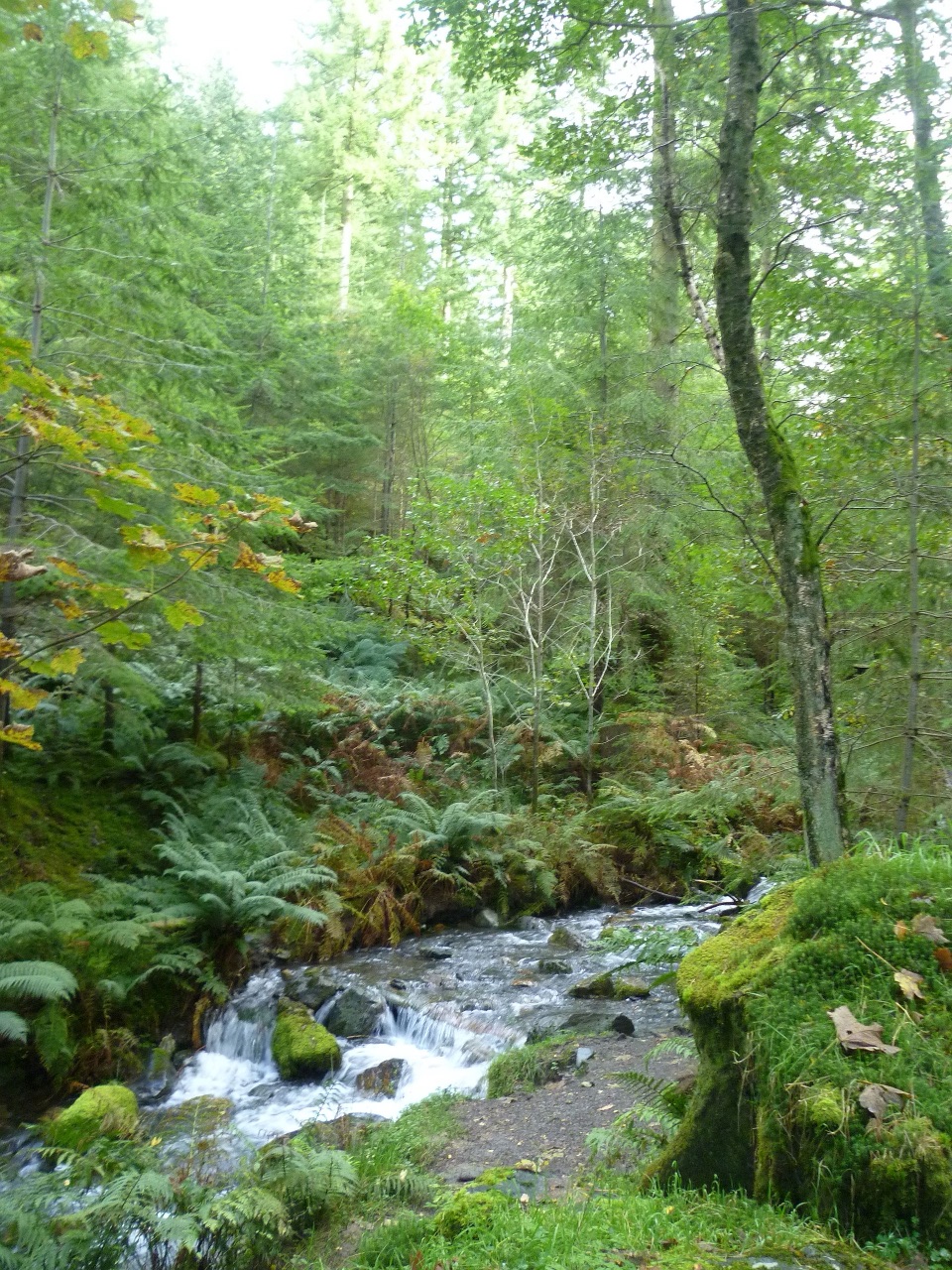 ModerateSkill Beck Trail at Dodd Wood2.4 km · 1.8 hr · 4.7 km awayA steep red-waymarked loop above Bassenthwaite Lake, back along Skill Beck
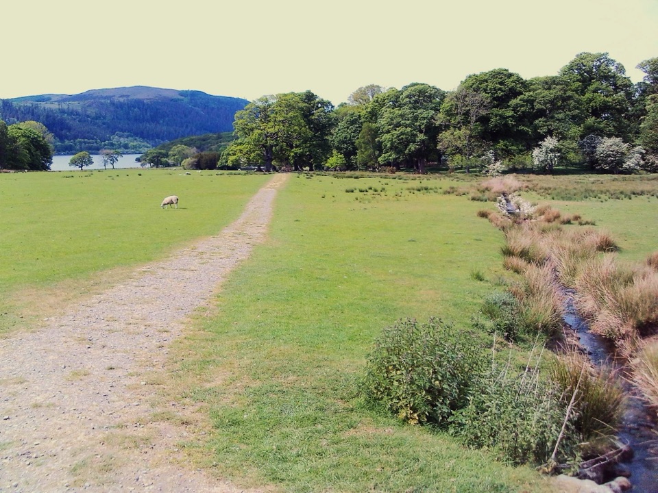 EasyMirehouse to St. Bega's Church2.5 km · 30 min · 4.7 km awayMeadow path to an ancient church with wide Bassenthwaite views
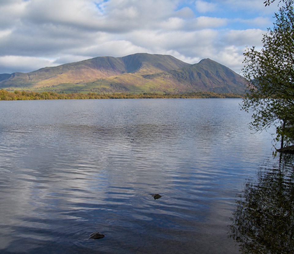 Sight · 2.5 km awayBassenthwaite LakeA quiet wildlife-rich lake beneath Skiddaw
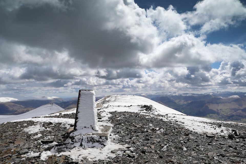 Sight · 6.5 km awaySkiddawA broad, windswept summit with huge views over the northern Lakes
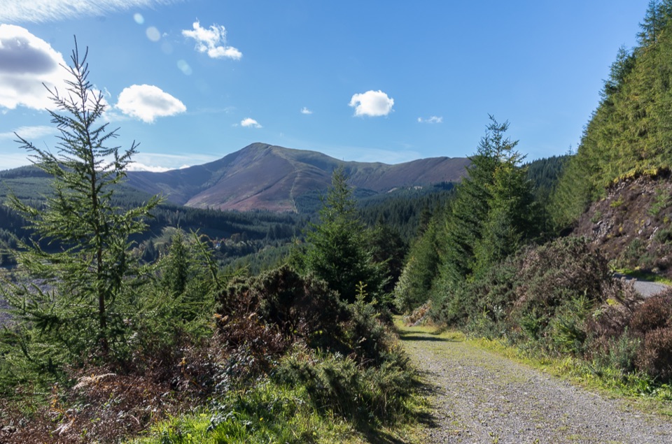 Sight · 6.6 km awayWhinlatter ForestMountain trails, big fell views, and family paths in a working forest
 Sight · 10.2 km awayKeswickA lively market town framed by Derwentwater and mountain walks
 Sight · 11 km awayFriar's CragA level lakeside path to Keswick's classic Derwentwater view
 Sight · 11.8 km awayDerwentwaterA mountain lake with islands, wooded shores, and classic fell views
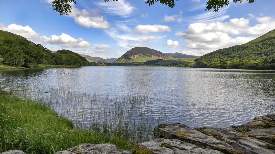 Sight · 11.8 km awayLoweswaterQuiet woodland, water and fell views on an unusually gentle lake walk
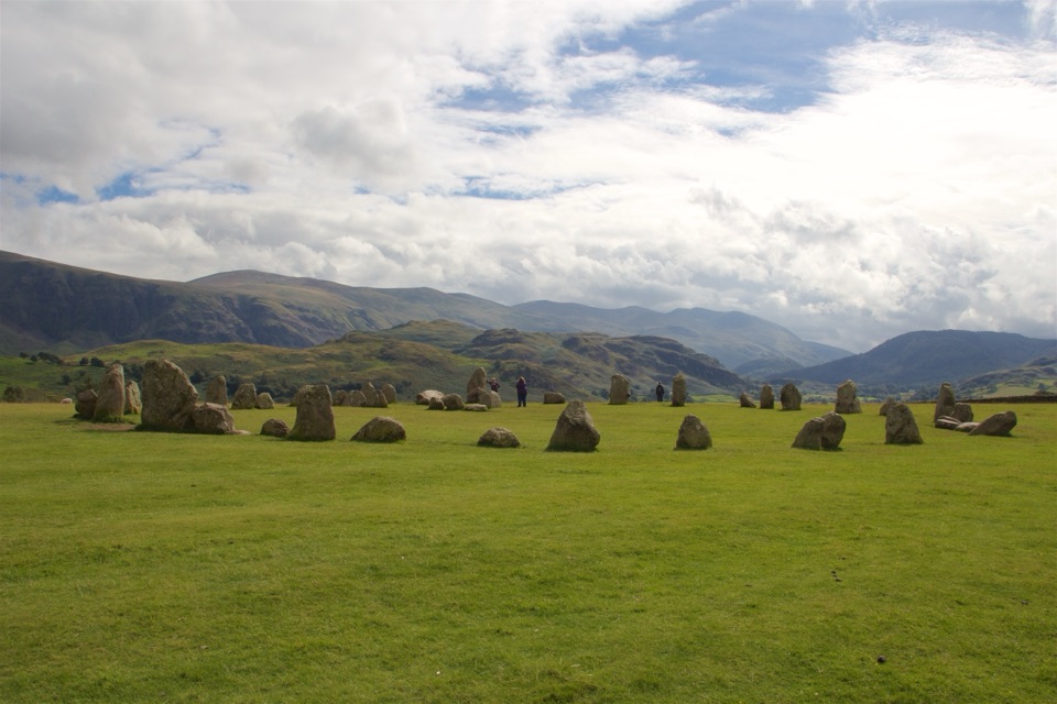 Sight · 11.8 km awayCastlerigg Stone CircleA 4,500-year-old stone ring with a grand mountain backdrop
Parkwolf’s Lake District ranking

The audio tour guide for the drive, plus offline maps, trails, and wildlife heatmaps for when the signal drops.





