Parking
Park in the signed lay-bys on the A591 near Mill Bridge, north of High Broadrayne. The lower lay-by is farther from the turn-off but has a pavement; if needed, use village parking in Grasmere and walk to the start.
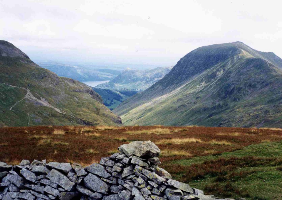
Lake District National Park, EN
Steep Tongue Gill climb to a quiet 737m summit above Grasmere
Overview
Map & elevation
Plan your hike

The highest, rockiest slopes around here are a summer buffet for grizzly bears.
Lake District Tour Guide
Parkwolf is a GPS audio tour guide for Lake District National Park. As you drive, it chimes in with what’s ahead: hidden gems, upcoming stops, history, geology, and wildlife, right through your car’s speakers.
Recorded for this trailhead
Mill Bridge: Seat Sandal and the Grasmere View“You're coming up to Mill Bridge, the starting area for Seat Sandal, a quieter fell walk with a fine view down toward Grasmere.”
Plays as you drive up to this trailhead in the Parkwolf Lake District Tour Guide.
More stories near here in the app
“Fantastic app with many points of information… It’s great to just turn on while you’re driving and it gives you an audio tour of the national Park. We love it!!!!”


Trail guide
A 4.3-mile circular loop (stored distance rounded from a measured 4.26 miles on the verified track), starting and finishing at the A591 lay-by near Mill Bridge, just north of High Broadrayne. It is a true loop, not an out-and-back, with roughly 630 m of ascent packed into a short day.
The sequence: a short lane and track, two footbridges, then a grassy and stone-pitched climb beside Tongue Gill with waterfalls below you and the valley opening behind. A steep headwall lifts you to Grisedale Hause, where Grisedale Tarn appears. From there you turn up the east ridge beside a broken wall, a short but sharp rocky pull to the broad grassy summit at about 737 m. The descent takes the south-west nose, then gates, fields and the lane back to the start.
Rated 7/10, hard, mostly for the ground rather than the length. Expect:
Allow about 3.5 hours at a normal walking pace with stops. Fit walkers move faster, but the summit climb and the faint descent both slow people down more than the mileage suggests.
From the top you get Grasmere, Windermere and Coniston Water on one side, Grisedale Tarn, Fairfield and the Helvellyn range close at hand, and the western fells beyond when visibility is good. The best single view is on the south-west descent, looking straight down the valley toward Grasmere, which is where later-day light works in your favour. Kestrels are often seen hunting over the lower fields.
Parking is the main constraint. The small A591 lay-bys near Mill Bridge fill quickly, and the lower one has a pavement alongside. Grasmere village parking is the fallback, with a walk out to the start. Compared with the headline summits nearby this fell stays comparatively quiet, which is a large part of the appeal. No special permit is needed for ordinary walking on the public rights of way and open access land used here. The route is not accessible: mountain paths, grass, pitched stone and loose rock throughout.
This is high fell walking with real exposure and almost no shade. Pick a clear, stable day with enough daylight, and treat winter as a serious proposition with snow and ice on the steep ground above the Hause. There is no reliable drinking water on the route, and the becks should not be counted as drinking water, so carry what you need. Ticks and adders are general hazards on Lakeland fellsides.
Ordinary dogs are welcome on this public access route but must be under close control. Use a lead around livestock, including the cattle that may be in the lower descent fields, and note the statutory 2 m lead requirement on open access land from 1 March to 31 July.
Walking in to Grisedale Tarn and back gives you the same gill, the same headwall and a clear destination while skipping the loose summit climb and the faint descent. At the other end, the Fairfield routes from the same area are a much longer and bigger commitment.
Wildlife
 81 sightingsRed DeerMost seen around 7 PMSighting map
 13 sightingsEurasian OtterMost seen around 6 AMSighting map
 76 sightingsOspreyMost seen around 8 AMSighting map
 51 sightingsEuropean BadgerMost seen around 8 PMSighting map
 233 sightingsMute SwanMost seen around 6 PMSighting map
 176 sightingsGrey HeronMost seen around 7 AMSighting map
Sighting maps show where each species has been reported across Lake District. Wildlife moves, so no sighting is guaranteed.
Keep exploring
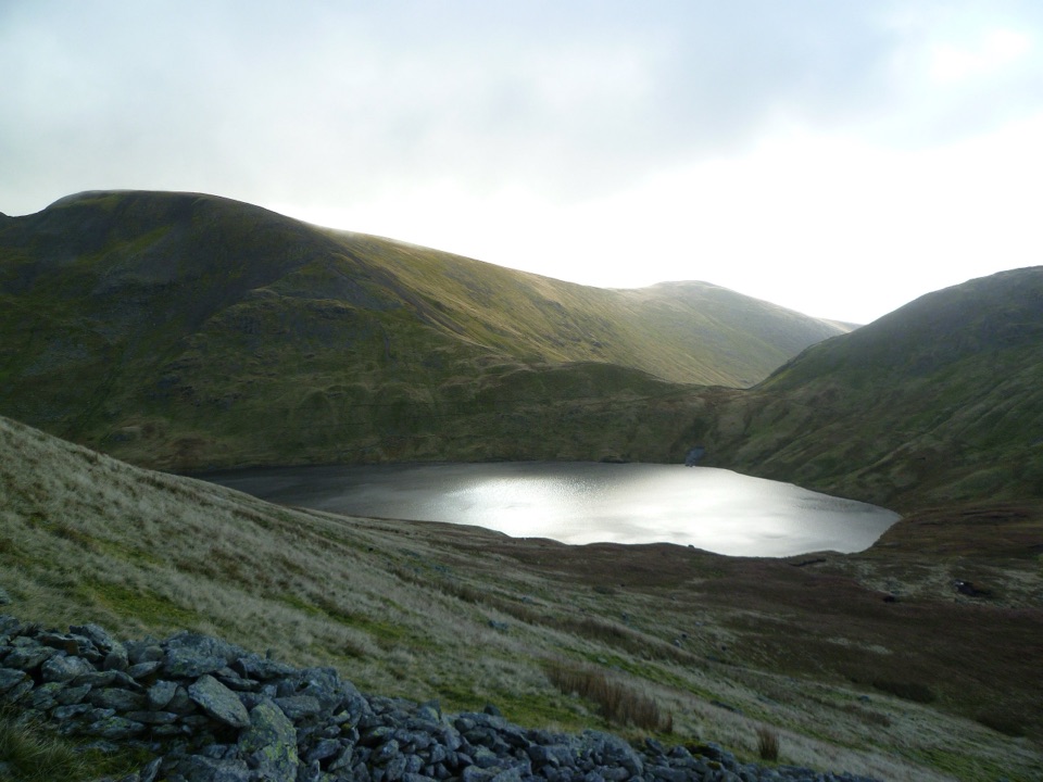 ModerateGrisedale Tarn7.6 km · 3.8 hr · At the trailheadSteep beckside climb to a dark tarn ringed by high Lakeland fells
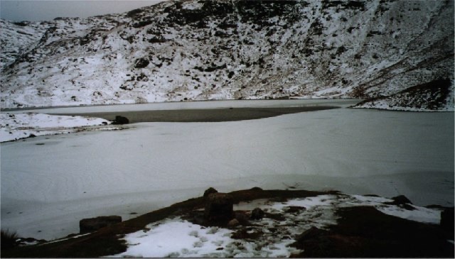 ModerateEasedale Tarn via Sourmilk Gill8.7 km · 3.3 hr · 1.1 km awayA lively waterfall climb to a quiet tarn beneath Tarn Crag
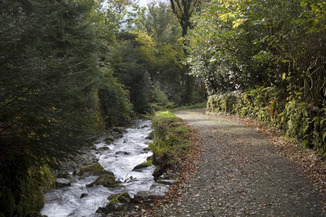 ModerateDig Dig Dig Audio Trail5.6 km · 2.5 hr · 1.4 km awayFollow a rushing gill to Elizabethan lead mine ruins above Grasmere
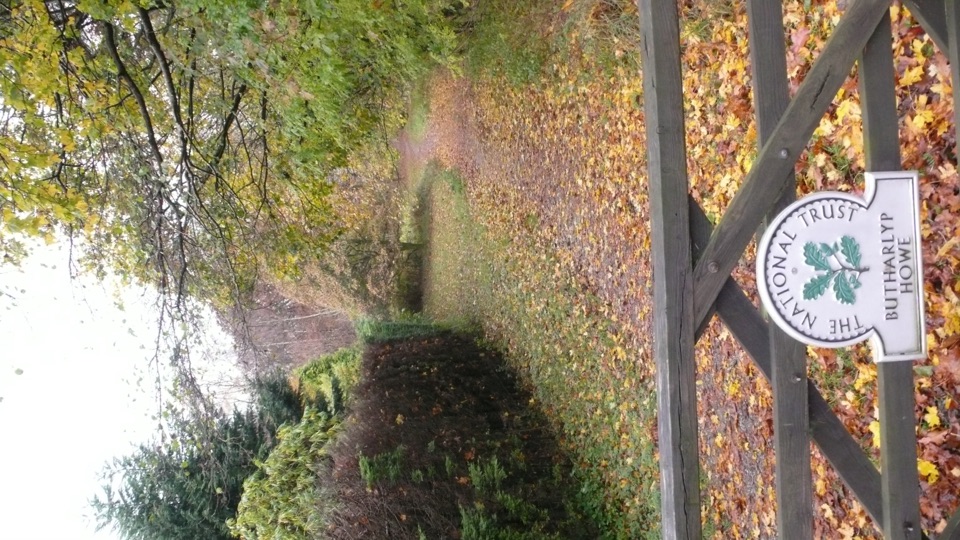 EasyGrasmere Jubilee Walk1.8 km · 1 hr · 1.5 km awayRiverside path, woodland climb and fell views in one village loop
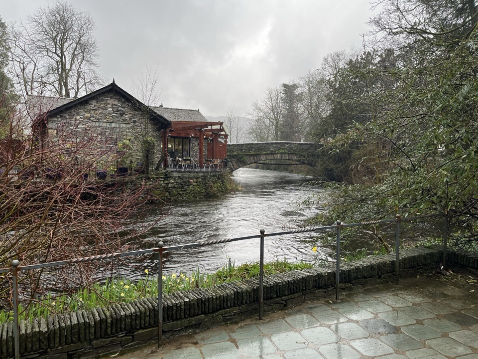 EasyGrasmere Riverside1.8 km · 1 hr · 1.5 km awayRiverside loop to Wordsworth's grave, level paths, an hour at easy pace
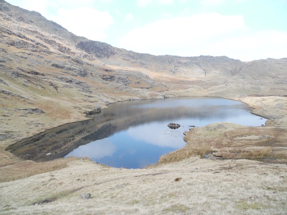 ChallengingEasedale Tarn, Codale Tarn and Tarn Crag13 km · 5.5 hr · 1.5 km awayTwo tarns, a rough scramble and a quiet ridge above Grasmere
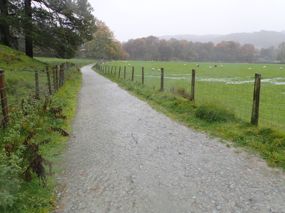 EasyGrasmere Trail8.7 km · 3 hr · 1.6 km awayLakeshore paths and woodland from Grasmere over to Ambleside, one way
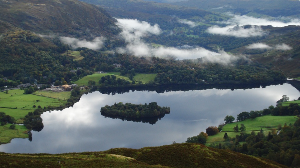 ModerateSilver How4.5 km · 2.3 hr · 1.6 km awayA short, steep climb to wide Grasmere and Langdale views
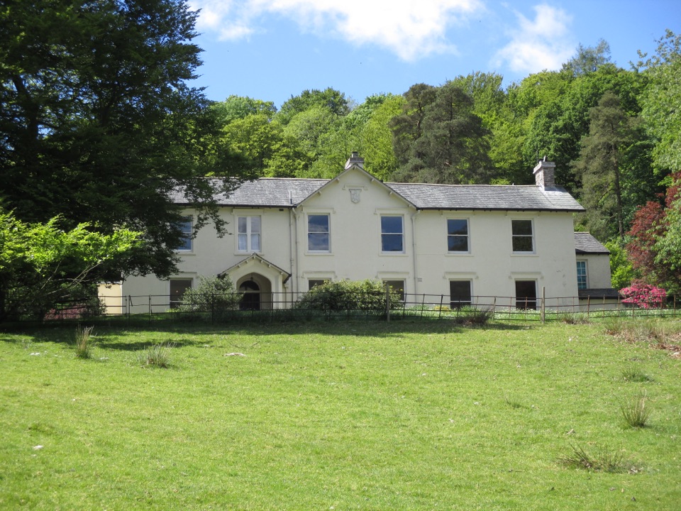 Sight · 1.5 km awayAllan BankWordsworth's villa pairs red squirrels with Grasmere views and woodland
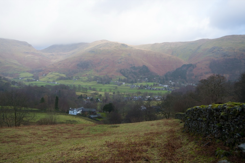 Sight · 1.6 km awayGrasmere VillageA slate-roofed fell village with Wordsworth, gingerbread, and walks
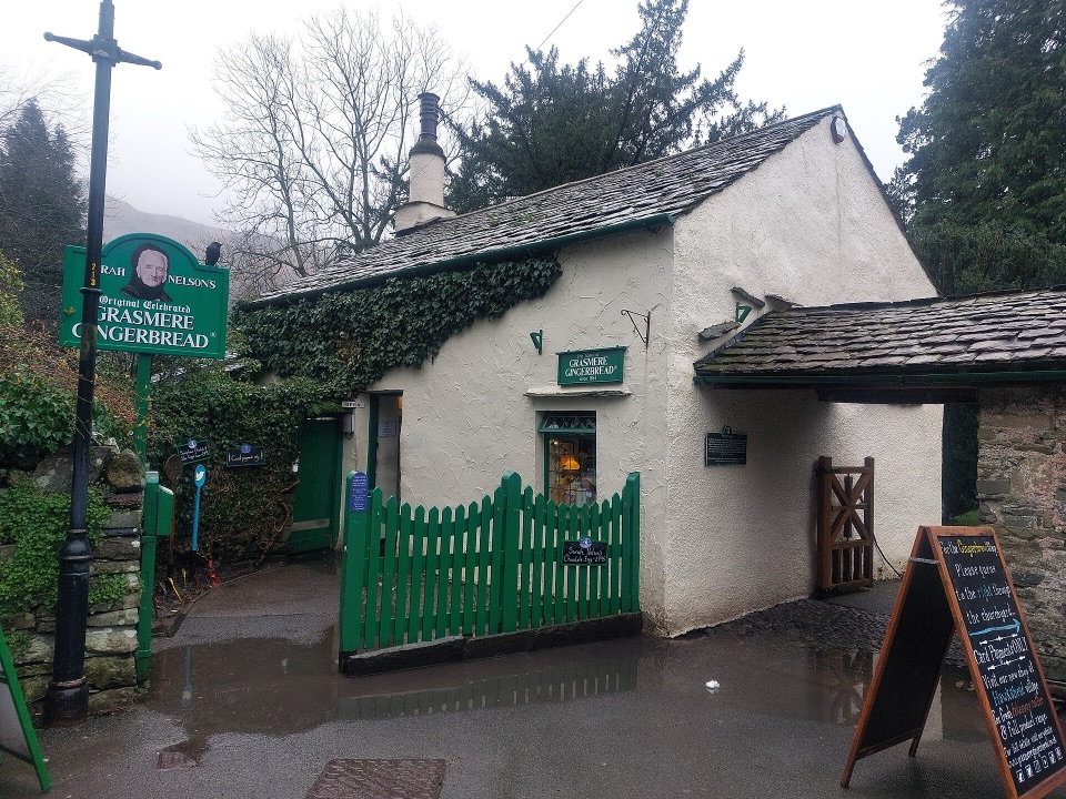 Store · 1.8 km awayGrasmere Gingerbread ShopA 1630 cottage where fresh gingerbread still draws a daily queue
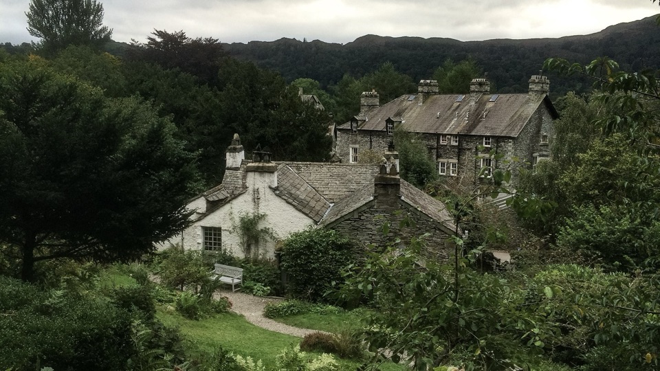 Sight · 2.2 km awayWordsworth GrasmereA poet's cottage, living garden, manuscripts, and wide valley views
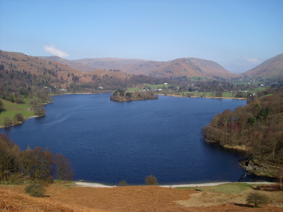 Sight · 2.7 km awayGrasmereA peaceful lake loop beneath the central Lake District fells
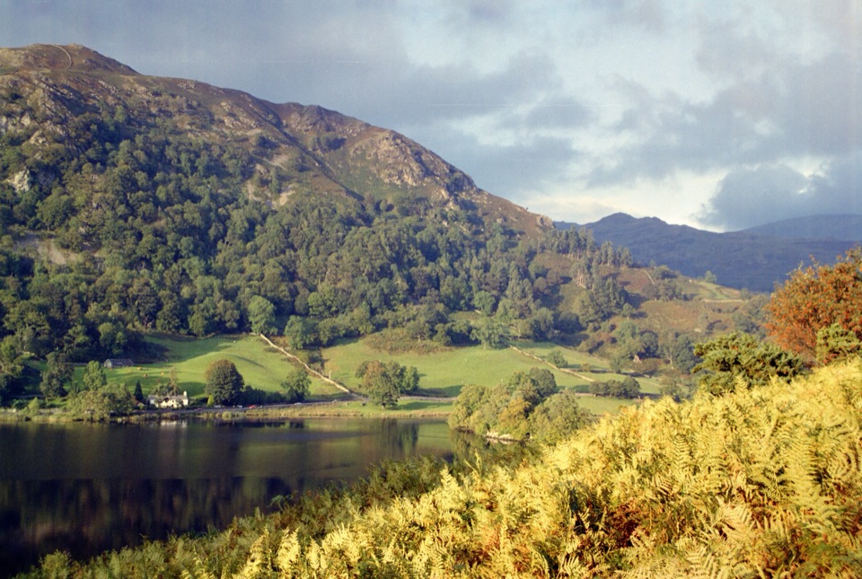 Sight · 3.6 km awayRydal WaterSmall lake, big reflections beneath Loughrigg Fell
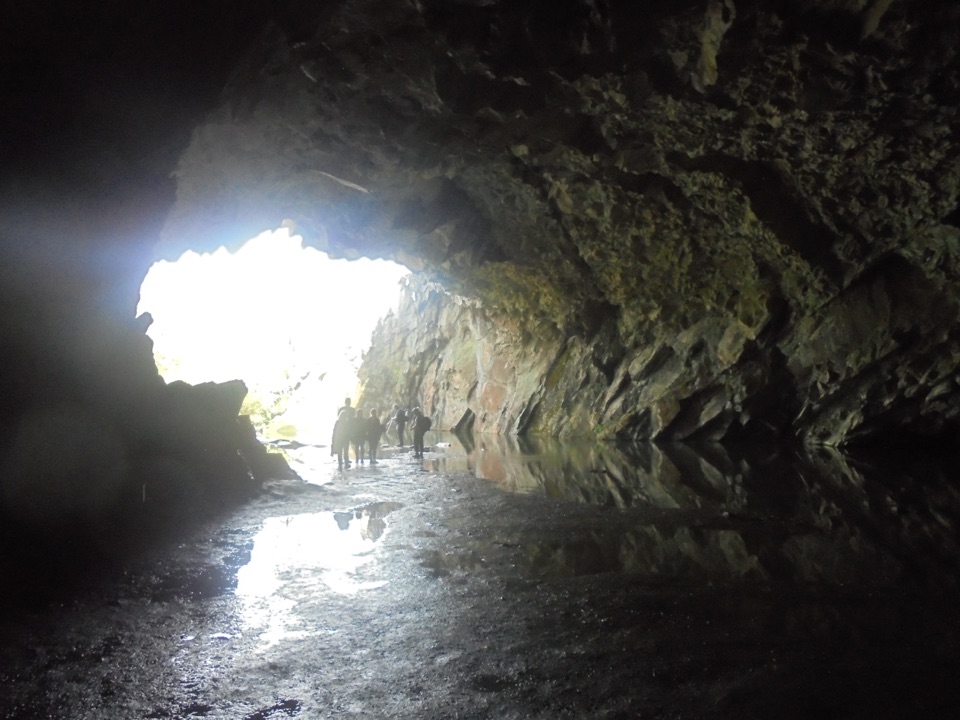 Sight · 3.9 km awayRydal CaveA former slate quarry opens onto water, stone, and fell views
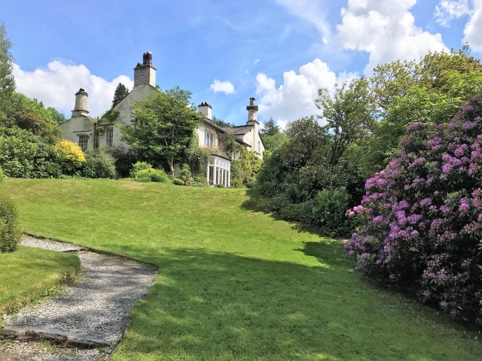 Sight · 4 km awayRydal MountWordsworth's final home, wrapped in five acres of garden and paths
Parkwolf’s Lake District ranking

The audio tour guide for the drive, plus offline maps, trails, and wildlife heatmaps for when the signal drops.





