Parking
Start at Ravenglass Station Car Park (CA18 1SN), pay and display. The village pay-and-display car park is an alternative with toilets. There is no parking at the bath house; access is on foot from Ravenglass.
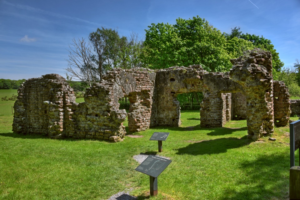
Lake District National Park, EN
Flat tarmac stroll to Roman bath house walls beside three-river estuary
Overview
The surviving bath house walls, known locally as Walls Castle, stand close to 4 m high, with the building measuring roughly 15 by 30 m. Viewing is from the outside only. It is one of the more complete pieces of standing Roman masonry in the region and worth the short effort.
 Parkwolf’s verdictThe Payoff
Map & elevation
Plan your hike

The highest, rockiest slopes around here are a summer buffet for grizzly bears.
Lake District Tour Guide
Parkwolf is a GPS audio tour guide for Lake District National Park. As you drive, it chimes in with what’s ahead: hidden gems, upcoming stops, history, geology, and wildlife, right through your car’s speakers.
Recorded for this trailhead
Ravenglass: Railway or Roman Walk“You're nearing Ravenglass, home of the Ravenglass and Eskdale Railway and a lovely chance to ride from the coast into the fells.”
Plays as you drive up to this trailhead in the Parkwolf Lake District Tour Guide.
More stories near here in the app
“Fantastic app with many points of information… It’s great to just turn on while you’re driving and it gives you an audio tour of the national Park. We love it!!!!”


Trail guide
An out-and-back walk of 2.2 km (about 1.4 miles) round trip, starting and finishing at Ravenglass Station Car Park, CA18 1SN. It is part of the national park's Miles Without Stiles network, graded For All, and the whole thing is broadly flat with roughly 0 to 20 m of height change.
1. Leave the station car park and follow the signed access around the edge of the village and railway.
2. Take care at the early road and bridge section, where there is a crossing and no continuous pavement.
3. Pass the caravan site entrance and join Walls Drive, a tarmac private road running beside the estuary.
4. Continue to the official turning point near the Roman bath house, then return the same way.
Surfacing is firm tarmac throughout, intended to suit wheelchairs and buggies. Be aware of the honest limits: short road sections without pavement, occasional vehicles on Walls Drive, and one road crossing near the start. There is no vehicular access or parking at the bath house itself, so the walk in is the only approach.
The bath house was established around AD 130, serving a Roman fort that guarded the river mouth. Most of the fort now lies below ground or shows only as earthworks. Interpretation gives both Glannoventa and Itunocelum as possible Roman names for the site, and neither is settled.
Ravenglass sits where the Esk, Mite and Irt meet the sea, so the estuary views shift with the tide. Low sun is the best light here, picking out the texture of the old masonry.
The longer walk from Ravenglass to Saltcoats gives a more open estuary and coastal outing for those with time and legs to spare.
Wildlife
 81 sightingsRed DeerMost seen around 7 PMSighting map
 13 sightingsEurasian OtterMost seen around 6 AMSighting map
 76 sightingsOspreyMost seen around 8 AMSighting map
 51 sightingsEuropean BadgerMost seen around 8 PMSighting map
 233 sightingsMute SwanMost seen around 6 PMSighting map
 176 sightingsGrey HeronMost seen around 7 AMSighting map
Sighting maps show where each species has been reported across Lake District. Wildlife moves, so no sighting is guaranteed.
Keep exploring
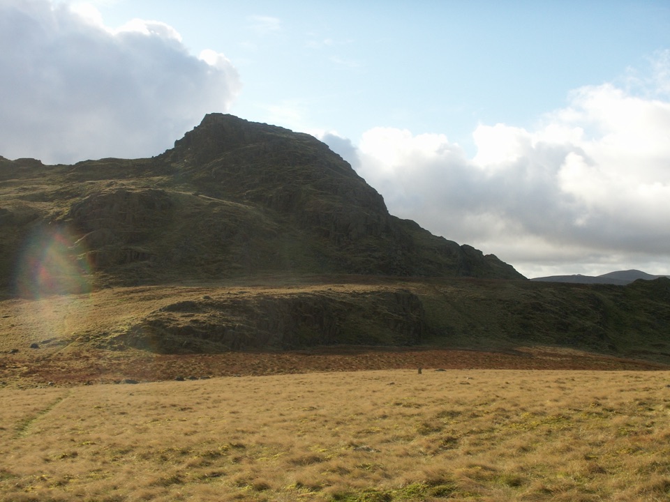 ModerateGreen Crag from Birker Fell6.6 km · 3 hr · 9.1 km awayA short, pathless fell loop with a surprisingly big summit view
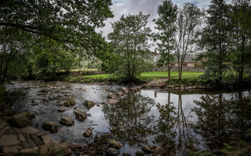 EasyRiver Esk: Steam, Ride and Ramble Walk5.6 km · 2.5 hr · 9.7 km awaySteam railway start, riverside paths and a humpback bridge loop
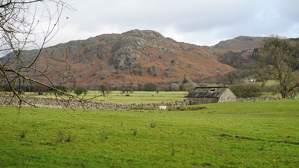 EasyEskdale Trail12.6 km · 4.5 hr · 9.8 km awayRiverside fields, oak woods and Chapel Hill, from Dalegarth to the coast
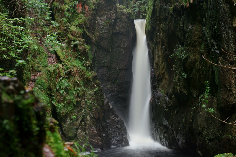 ModerateDalegarth and Stanley Ghyll Circular4.8 km · 1.8 hr · 9.8 km awayMossy gorge, cascades, and a dramatic waterfall above Eskdale
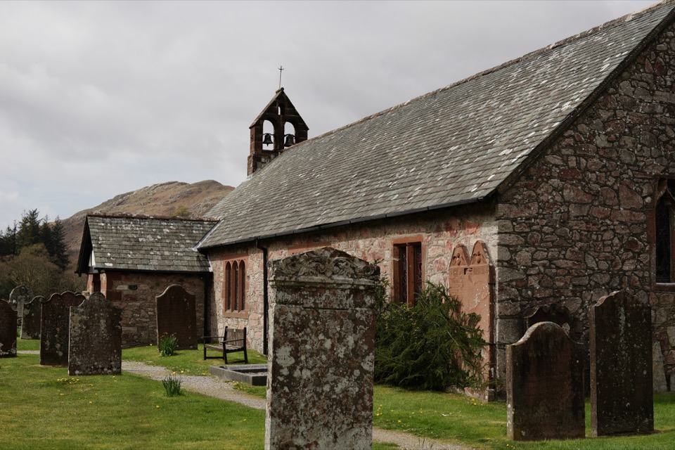 EasyDalegarth, Eskdale2.7 km · 1 hr · 9.8 km awayA compact Eskdale loop for church, river, and old railway traces
 ModerateGreendale and Middle Fell Walk5.6 km · 3 hr · 10.9 km awayA quiet fell circuit with a big Wastwater and Scafells payoff
 ChallengingMiddle Fell, Seatallan and Buckbarrow8.5 km · 4.5 hr · 10.9 km awayWastwater views, boggy saddles and three rough summits in one loop
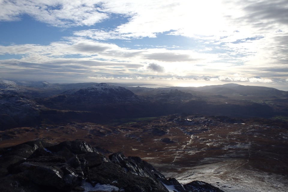 ChallengingSlight Side from Eskdale10 km · 4.5 hr · 12.3 km awayA rough, bouldery climb to a quiet Scafell-ridge summit
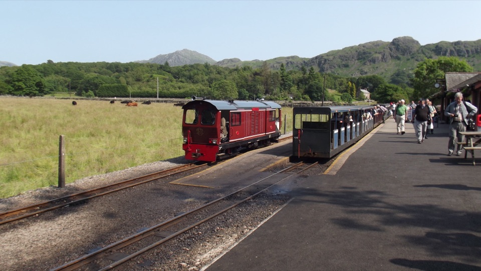 Sight · 0.1 km awayRavenglass & Eskdale RailwayA tiny train rolls from coastal estuary to wild Eskdale
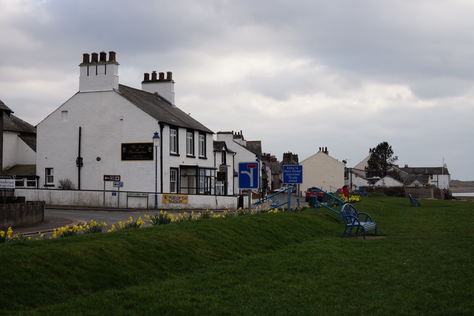 Sight · 0.2 km awayRavenglassA tidal estuary village where Roman ruins meet a little railway
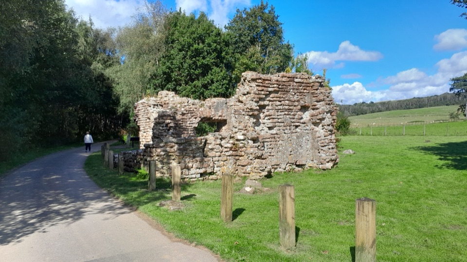 Sight · 0.6 km awayRavenglass Roman Bath HouseRoman walls nearly four metres high make this bath house memorable
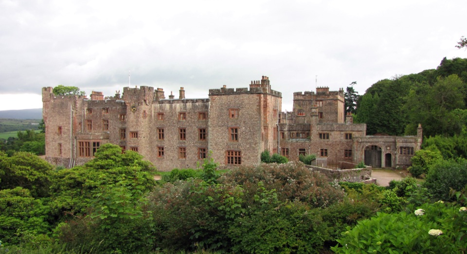 Sight · 1.8 km awayMuncaster CastleA lived-in castle with 77 acres of gardens and flying displays
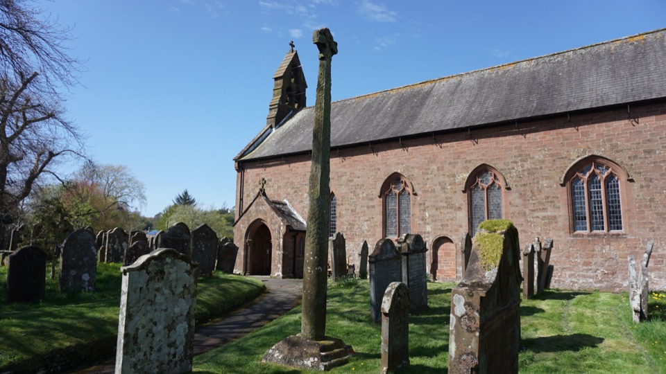 Sight · 7.2 km awayGosforth Cross and St Mary's ChurchA Viking cross where Norse myth meets Christian stonework
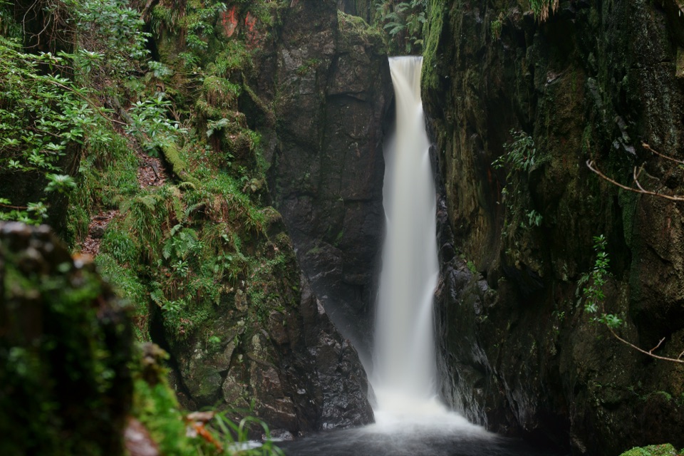 Sight · 9.4 km awayStanley GhyllA mossy ravine, footbridges, and a 60-foot waterfall
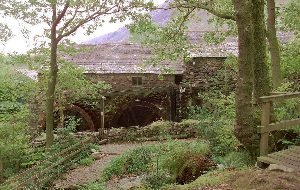 Sight · 10.2 km awayEskdale MillTwo working waterwheels bring 500 years of milling to life
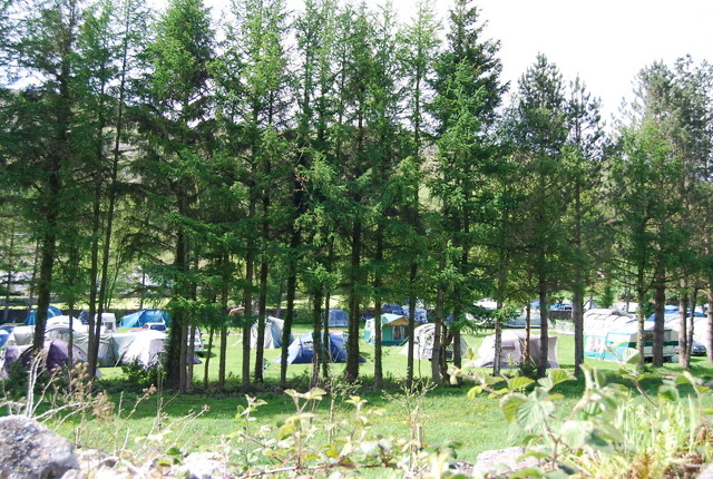 Campground · 10.3 km awayEskdale CampsiteRiverside camping below Hardknott Pass, with fells on the doorstep
Parkwolf’s Lake District ranking
The audio tour guide for the drive, plus offline maps, trails, and wildlife heatmaps for when the signal drops.





