Eskdale Trail in Lake District National Park

Lake District National Park, EN

Eskdale Trail

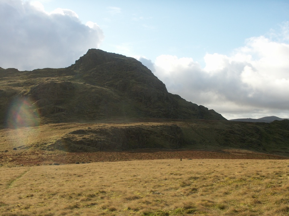
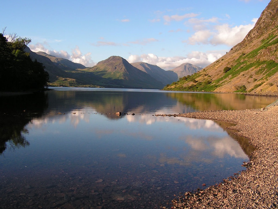
Riverside fields, oak woods and Chapel Hill, from Dalegarth to the coast

Photo: Wikimedia Commons
Length
12.6km
Time
4.5hr
Elev. change
139m
Difficulty
Easy
  • Dogs allowed
  • High point 148 m
  • #89 of 265 in Lake District

Hear the audio tour

Dalegarth: Stanley Ghyll or Riverside Walk

Overview

About Eskdale Trail

Why go

  • A varied valley crossing with river, woodland and railway heritage
  • Clear waymarking and plenty of interest for a family day out

Heads up

  • Point-to-point logistics need a return plan
  • Long easy walk with a real climb over Chapel Hill

Map & elevation

The route

Loading the Lake District map
Full map
Elevation9–148 m
TrailheadDalegarth for Boot railway station54.39535, -3.27479
Keep this map with you offline in the Parkwolf app

Plan your hike

Before you go

Parking

For the simplest arrangement, park at Ravenglass station, take the narrow-gauge train to Dalegarth for Boot, then walk back to your car. Alternatively use the Dalegarth station car park and arrange transport from Ravenglass. Use only signed village or lay-by parking where permitted.


Best time to go

Give yourself a long window of daylight, since 4 to 5 hours plus travel at either end fills a day comfortably. Late spring through autumn gives the kindest ground and the best of the woodland and river; after heavy rain, expect mud and slower going through the fields. If you want something gentler, the shorter riverside walk that starts and returns near Dalegarth covers the same valley character in a fraction of the distance.

Safety

Uneven stony and earthy tracks, grass fields, gates and wet or muddy ground after rain. Chapel Hill is a genuine climb with a steeper descent. The route crosses working farmland, so keep dogs on a short lead around livestock.

8 active Lake District alerts

  • ClosureChapel Stile footpath closed for retaining-wall riskPart of Footpath 543030 between Chapel Stile and Baysbrown campsite is closed because a retaining wall beside the path could collapse and material it supports could fall across the footpath.Official details
  • ClosureStanley Ghyll Lower Falls footpath closed for rockfallThe section of Footpath 408037 leading towards Stanley Ghyll Lower Falls is closed because severe rockfall damage has made the path unstable and further rockfall remains a danger.Official details
See all 8 alerts
A park ranger sits on a dash-mounted phone, talking, as Parkwolf’s Tour Guide plays “Army Cutworm Moths: A Grizzly Bear Buffet” on Grand Loop Road below Dunraven Pass in Yellowstone
Parkwolf Tour GuideThe highest, rockiest slopes around here are a summer buffet for grizzly bears.

Lake District Tour Guide

Your drive to Eskdale Trail, narrated.

Parkwolf is a GPS audio tour guide for Lake District National Park. As you drive, it chimes in with what’s ahead: hidden gems, upcoming stops, history, geology, and wildlife, right through your car’s speakers.

Recorded for this trailhead

Dalegarth: Stanley Ghyll or Riverside Walk
0:00 / 1:09
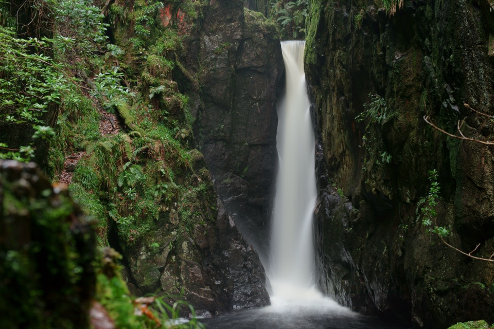
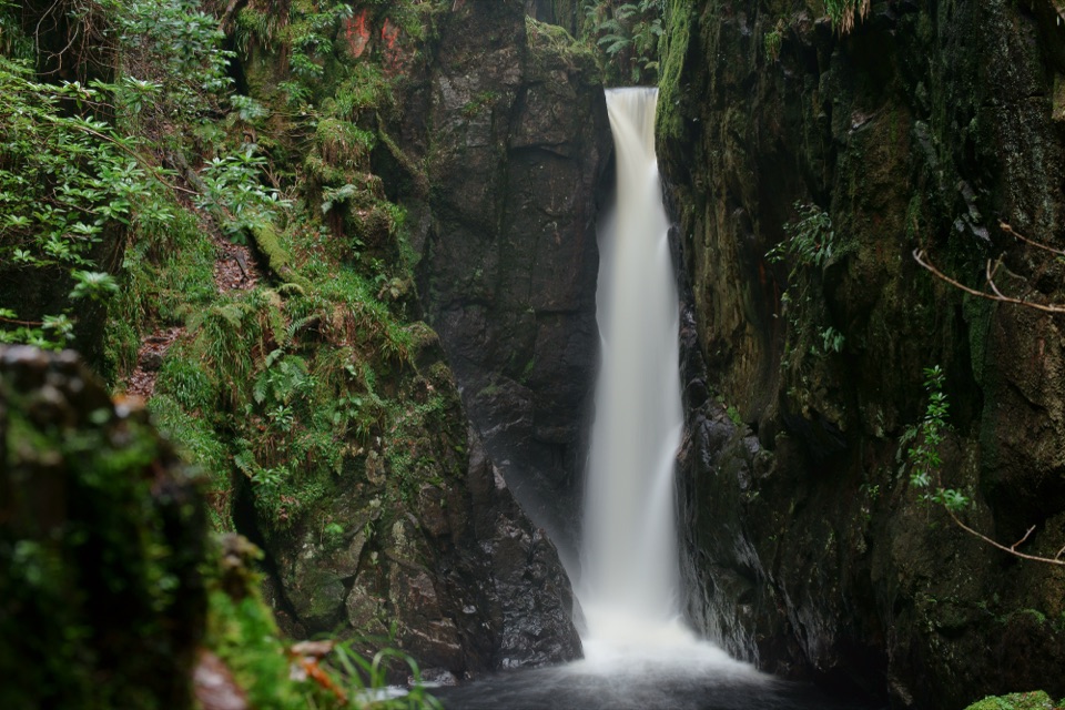
“You're coming up on Dalegarth Station, the starting point for a walk to Stanley Ghyll's sixty-foot waterfall.”

Plays as you drive up to this trailhead in the Parkwolf Lake District Tour Guide.

More stories near here in the app

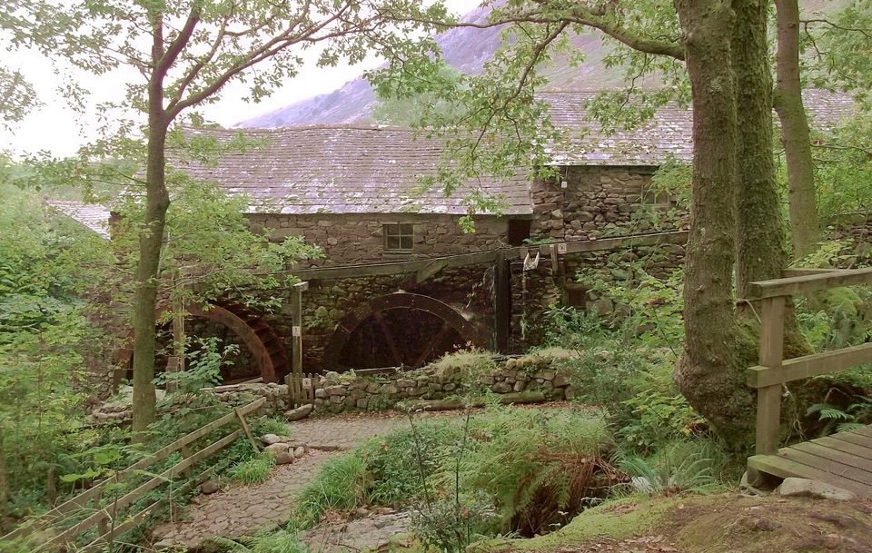
  • Boot: Eskdale Mill and the Beck
  • Slight Side from Wha House
  • Birker Fell: Green Crag’s Open-Fell Loop
  • Jubilee Bridge: Harter Fell’s Rocky Summit
  • 298 audio storiesacross Lake District’s roads, triggered by GPS as you drive
  • Wildlife heatmapsfor Red Deer, Eurasian Otter, Osprey, and 13 more
  • Works offlinemaps, 265 trails, 89 places, and audio download before you lose signal
  • CarPlay readysimple controls built for the drive
★★★★★
“Fantastic app with many points of information… It’s great to just turn on while you’re driving and it gives you an audio tour of the national Park. We love it!!!!”
JMJamesApp Store review
Download Parkwolf on the App StoreGet Parkwolf on Google Play

4.7 from 8,600+ ratings

Trail guide

Hiking Eskdale Trail

The route in briefA point-to-point valley walk of 7.

A point-to-point valley walk of 7.8 miles one way, from Dalegarth for Boot railway station down the Esk valley to Ravenglass railway station on the coast. Allow about 4.5 hours, and up to 5 if you stop often. This record covers the walking route in the recommended direction, which is mostly downhill apart from one climb. Walking it in reverse works too, with more sustained ascent.

What you pass, in orderStanley Ghyll Falls and its viewing platform sit in the wider Eskdale area rather than on the…

Stanley Ghyll Falls and its viewing platform sit in the wider Eskdale area rather than on the walked line of the trail, so treat any visit there as a separate outing.

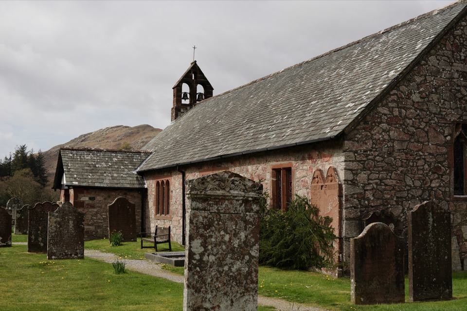
  • Leave Dalegarth station and head through Boot, near the historic mill area and St Catherine's Church.
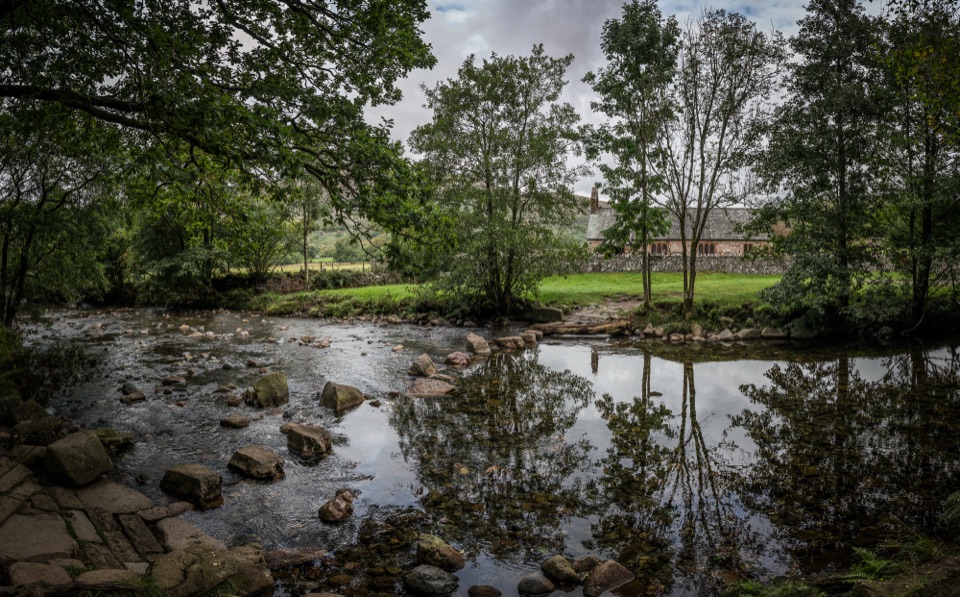
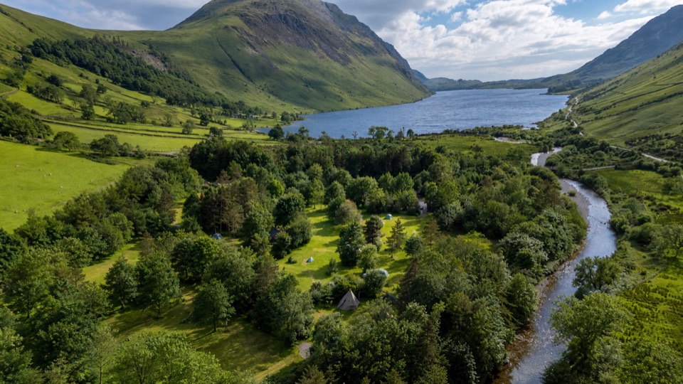
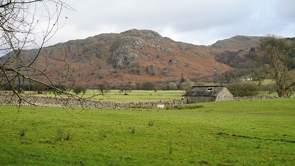
  • Follow the River Esk through riverside pasture, meadows and old oak woods, past bridges, dry-stone walls and traces of the valley's railway and mining past.
  • Climb Chapel Hill, the one real effort of the day, then take a steeper descent toward Muncaster Head.
  • Continue on tracks, through woods and fields and along quiet country lanes past the grounds of Muncaster Castle.
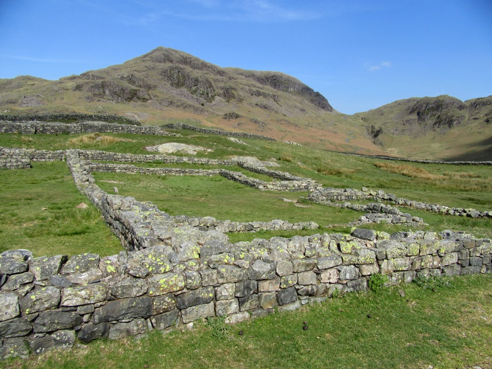
  • Finish in Ravenglass near the Roman Bath House, with the estuary and the sea ahead of you.
Difficulty and ground underfootRated easy overall, but it is a long easy day rather than a short stroll.

Rated easy overall, but it is a long easy day rather than a short stroll. Expect a mixture of country lanes, stony and earthy tracks, grass fields, wooded sections and a good number of gates. Ground can be wet and muddy after rain, and the tracks are uneven in places. Chapel Hill is a proper climb followed by a quick drop. There is no flat paved or step-free surface along the way, so plan for footwear with grip and steady footing.

WayfindingThe line of the route is generally clear and marked with distinctive metal fingerposts, 22 of…

The line of the route is generally clear and marked with distinctive metal fingerposts, 22 of them in total, which double as a brass-rubbing trail for families. Following the posts back toward Ravenglass keeps the navigation simple, though a map is still worth carrying for the field and woodland sections.

Scenery and wildlifeThis is a gentle, layered valley journey: the River Esk, crags above the pasture, ancient oak…

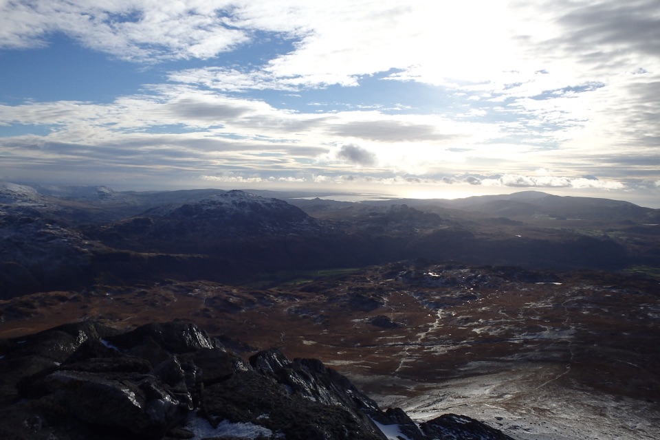
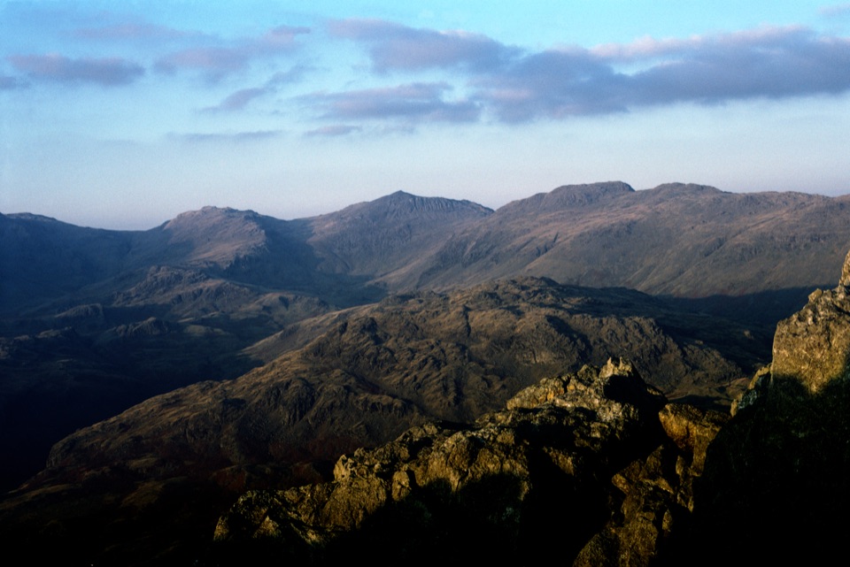
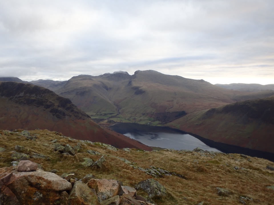
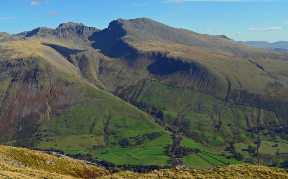
This is a gentle, layered valley journey: the River Esk, crags above the pasture, ancient oak woodland, and open views toward Muncaster Fell and the Scafell range. Red squirrels, roe deer and buzzards are all worth watching for, though nothing is guaranteed. Eskdale Mill, the church exhibition space in the valley, the Roman Bath House at Ravenglass and the narrow-gauge railway heritage add plenty of interest between the views.

Getting there and backBecause the walk is point-to-point, sort your return before you start.

Because the walk is point-to-point, sort your return before you start.

  • Simplest plan: park at Ravenglass, take the narrow-gauge train up the valley to Dalegarth, a ride of roughly 40 minutes, then walk back down to Ravenglass.
  • Alternative: use the pay-and-display car park at Dalegarth station, or other signed village and lay-by parking only where it is permitted, and arrange transport or a train connection at the far end.
  • Toilets, pubs and cafes are found around Ravenglass and Dalegarth and Boot, not along the middle of the route, so carry water and snacks with you.
DogsDogs are welcome on the walk.

Dogs are welcome on the walk. The route crosses working farmland and fields, so keep them on a short lead around livestock and under close control elsewhere to protect farm animals and ground-nesting wildlife.

Wildlife

Wildlife in Lake District

All Lake District wildlife maps

Sighting maps show where each species has been reported across Lake District. Wildlife moves, so no sighting is guaranteed.

Keep exploring

Near Eskdale Trail

See it all on the map

Trails that start nearby

Places near the trailhead

Parkwolf’s Lake District ranking

Top-rated trails in Lake District

All 265 trails
  1. 1Scafell Pike via Hollow Stones from WasdaleChallenging · 9 km
  2. 2Helvellyn via Striding Edge and Swirral EdgeChallenging · 12.4 km
  3. 3CatbellsModerate · 6.6 km
  4. 4The Old Man of ConistonChallenging · 9 km
  5. 5Buttermere CircularEasy · 7.6 km
  6. 6The Fairfield HorseshoeChallenging · 17.2 km

Take Parkwolf to Lake District.

The audio tour guide for the drive, plus offline maps, trails, and wildlife heatmaps for when the signal drops.

4.7 from 8,600+ ratings

Download Parkwolf on the App StoreGet Parkwolf on Google Play