Parking
Limited off-road and layby parking near Jesus Church and in Troutbeck; the village is popular with walkers, so a space is not guaranteed. The nearest bus stop is Troutbeck Bridge, about 1.3 miles from the start.
Lake District National Park, EN
A steady climb from stone lanes to ridge views over Windermere
Overview
Map & elevation
Plan your hike

The highest, rockiest slopes around here are a summer buffet for grizzly bears.
Lake District Tour Guide
Parkwolf is a GPS audio tour guide for Lake District National Park. As you drive, it chimes in with what’s ahead: hidden gems, upcoming stops, history, geology, and wildlife, right through your car’s speakers.
Recorded for this trailhead
Troutbeck: Wansfell Pike and Baystones“Up ahead is Jesus Church in Troutbeck, the starting point for a walk over Wansfell Pike and back through the village. If you fancy a substantial fell walk with a wide view over Windermere, this is a good place to stop.”
Plays as you drive up to this trailhead in the Parkwolf Lake District Tour Guide.
More stories near here in the app
“Fantastic app with many points of information… It’s great to just turn on while you’re driving and it gives you an audio tour of the national Park. We love it!!!!”


Trail guide
A 6.3 mile (10.1 km) loop from Jesus Church in Troutbeck, and that figure is the total distance for the whole circuit, village approach and return included. Allow 3 to 5 hours, with around 436 m of ascent. Graded challenging, mostly for the sustained climb and the rough ground up top.
From the church and Church Bridge (grid ref NY412027) you follow Green Gate Lane into Troutbeck, then walk the length of the village past Townend before turning up Fell Lane onto Hundreds Road. That old track is the easier way to gain height, and after much of the climbing is behind you it passes a waterfall before a grassier path leads toward Nanny Lane. A left turn through a kissing gate puts you on the final, simple pull to Wansfell Pike, which is the well known viewpoint but not the top. From there you head north-east beside a wall to Baystones, the marked summit of Wansfell, before turning southerly for the open descent back toward Troutbeck, with lanes and footpath returning you to Jesus Church. Nanny Lane is an ancient track back into the village.
The payoff is the contrast: a historic village, a quiet pastoral valley, then rough fellside, the Wansfell Pike viewpoint and the Baystones summit, with broad views over Windermere and Ambleside when visibility allows. Views depend entirely on the day, and cloud can sit on these tops when the valley looks fine.
Dogs are welcome and should be kept on a lead, as the area is grazed by sheep and cattle.
Parking in Troutbeck is limited to a few off-road spaces and roadside laybys, and the village is popular with walkers, so a space is not guaranteed. Arriving early helps. By bus, the nearest stop is Troutbeck Bridge, about 1.3 miles from the start, which adds a road walk at each end.
The shorter, direct up-and-down ascent of Wansfell Pike from another access point is a separate walk and misses the village, Hundreds Road and Baystones entirely.
Wildlife
 81 sightingsRed DeerMost seen around 7 PMSighting map
 13 sightingsEurasian OtterMost seen around 6 AMSighting map
 76 sightingsOspreyMost seen around 8 AMSighting map
 51 sightingsEuropean BadgerMost seen around 8 PMSighting map
 233 sightingsMute SwanMost seen around 6 PMSighting map
 176 sightingsGrey HeronMost seen around 7 AMSighting map
Sighting maps show where each species has been reported across Lake District. Wildlife moves, so no sighting is guaranteed.
Keep exploring
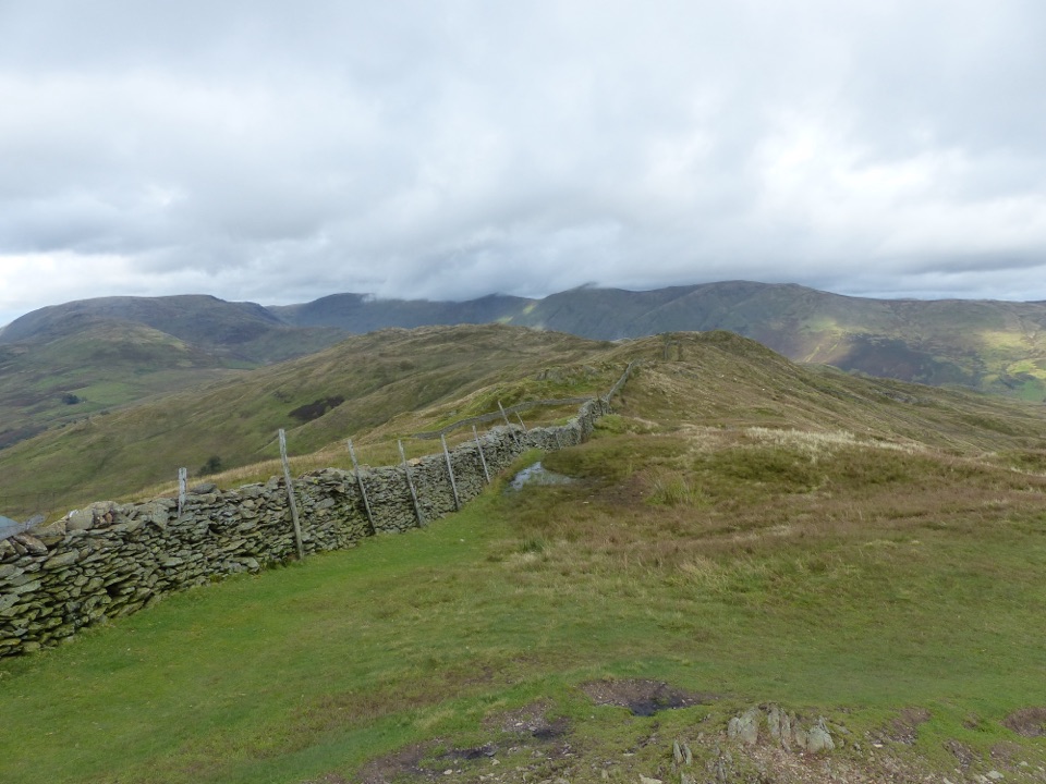
 ModerateTroutbeck Tongue12.4 km · 3.3 hr · At the trailheadValley lanes, a steep bracken climb, and a pointed summit cairn
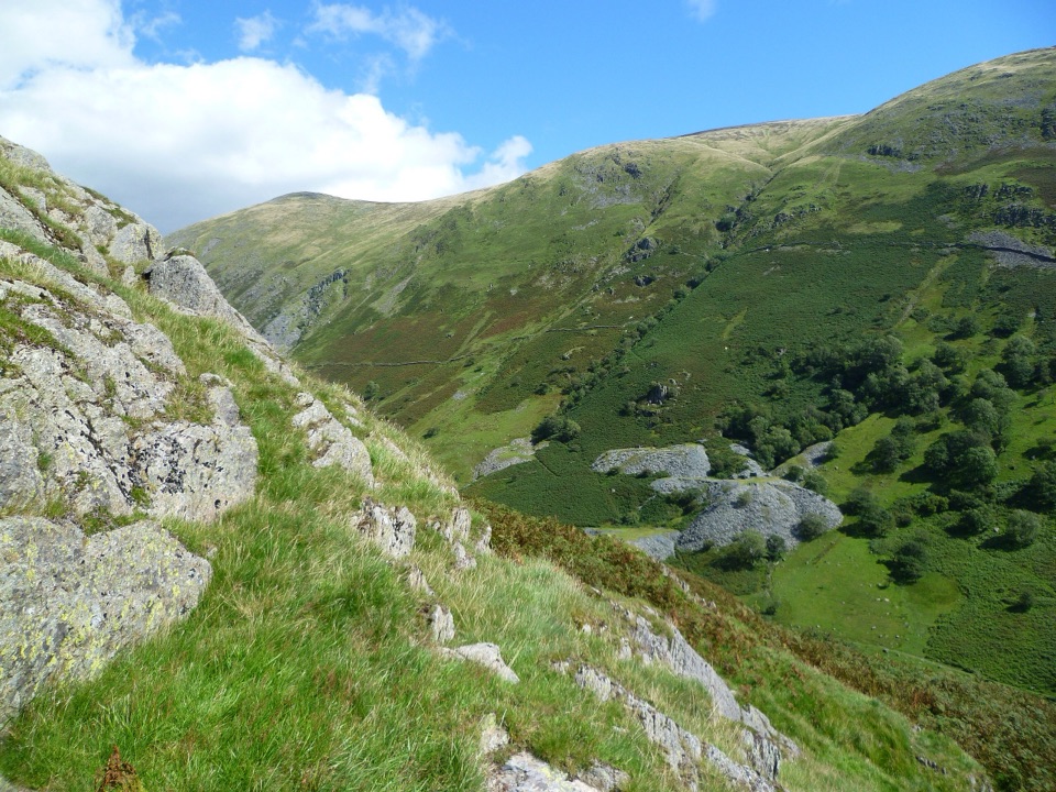
 ModerateSour Howes and Sallows8.7 km · 3.5 hr · At the trailheadQuiet twin-fell circuit with wide Windermere and Kentmere views
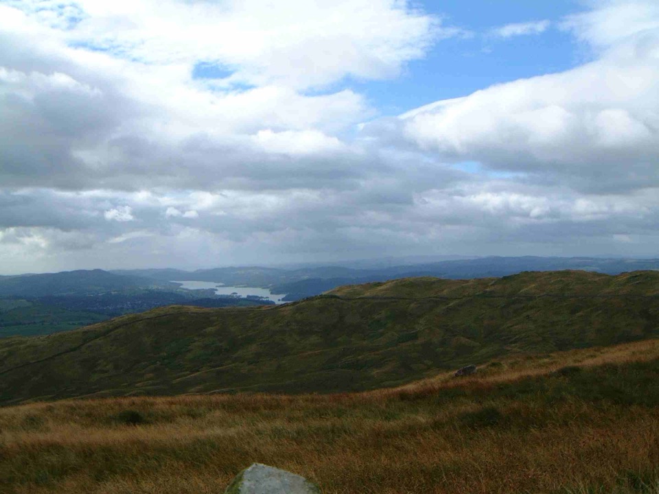
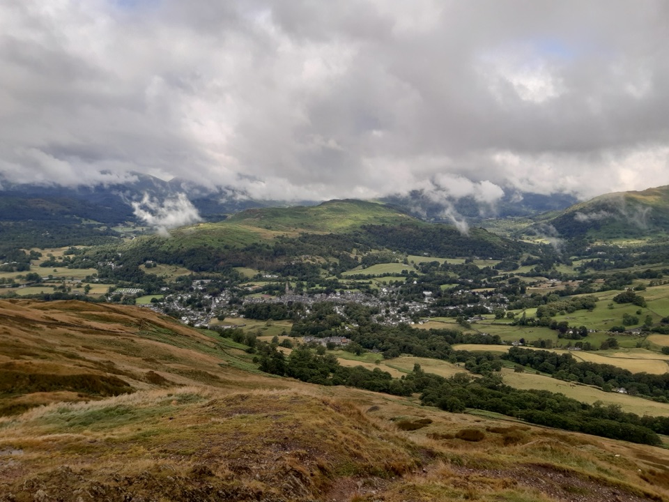 ModerateWansfell Pike and Troutbeck10.1 km · 4 hr · 0.1 km awayHistoric hamlet lanes, a stiff fell climb, wide Windermere views
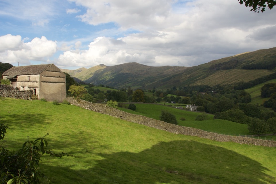 ModerateTownend and Troutbeck Valley Walk6.4 km · 2.5 hr · 2.7 km awayA gentle circuit of fell scenery, old lanes, and historic Townend
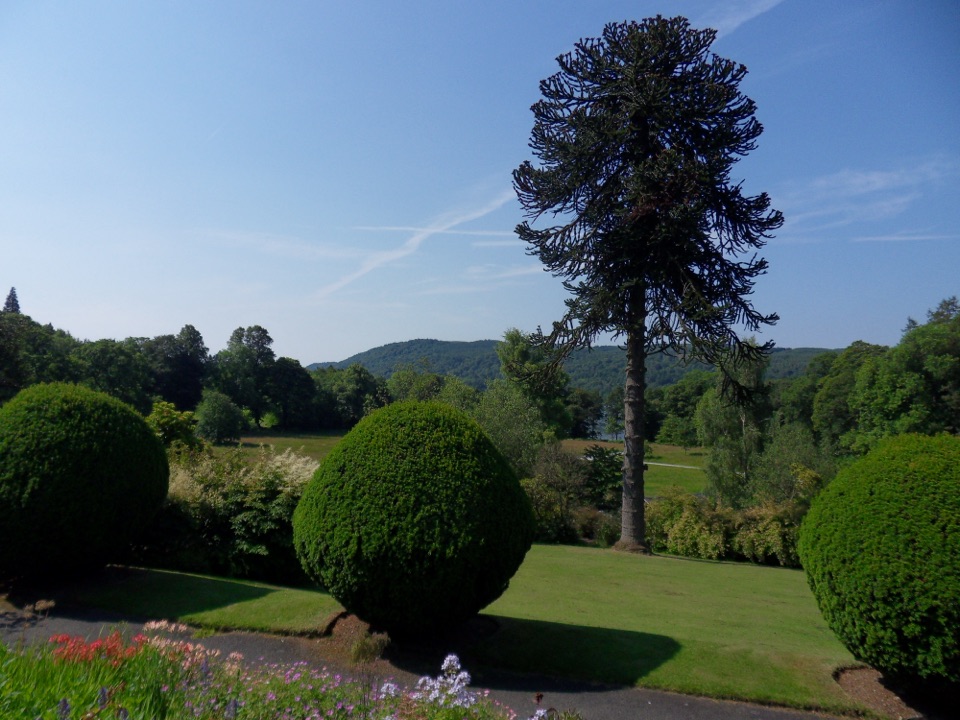 EasyBrockhole Lakeshore Loop1.5 km · 30 min · 2.7 km awayStep-free 1.5 km loop past gardens to the Windermere lakeshore
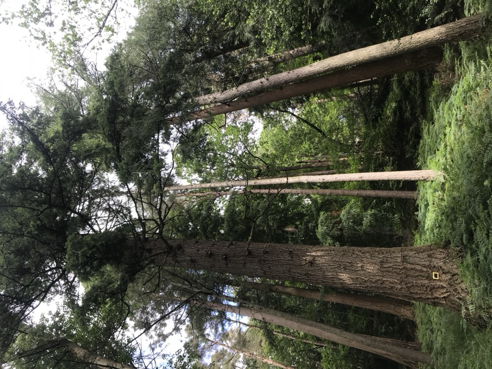 EasyAmbleside Champion Tree Trail1.3 km · 45 min · 3.2 km awayShort woodland loop past some of England's tallest champion trees
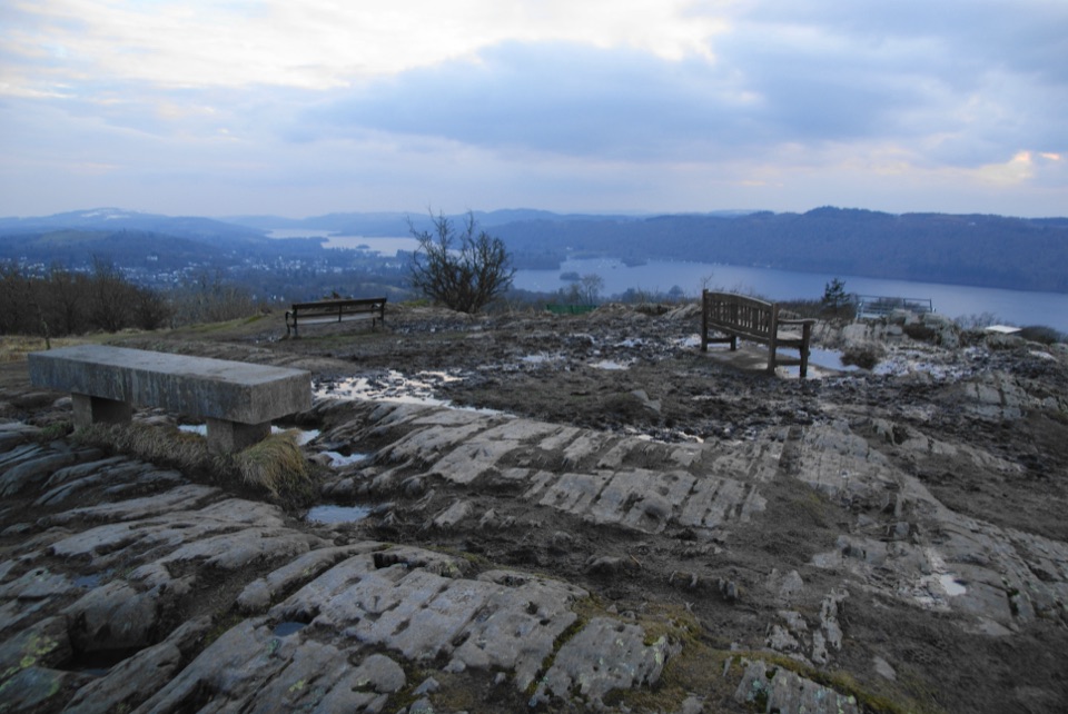 EasyOrrest Head3.5 km · 1.5 hr · 4 km awayShort accessible climb to a 360-degree lake and fells panorama
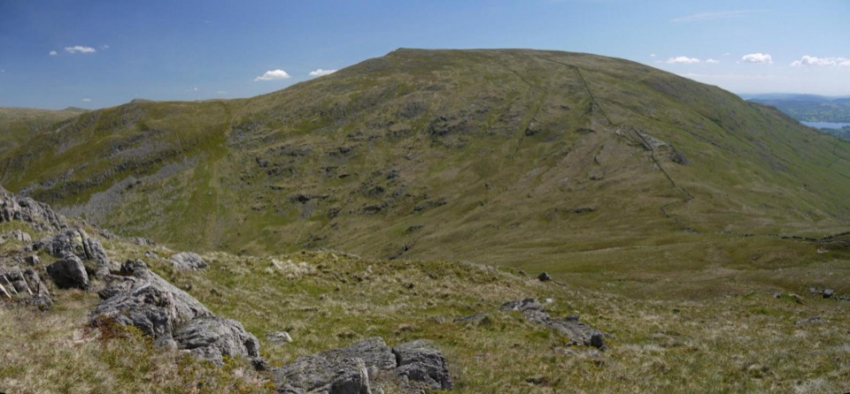 ChallengingRed Screes and Middle Dodd from Ambleside14.2 km · 5 hr · 4 km awayA tough two-top circuit with red scree, bog and a summit tarn
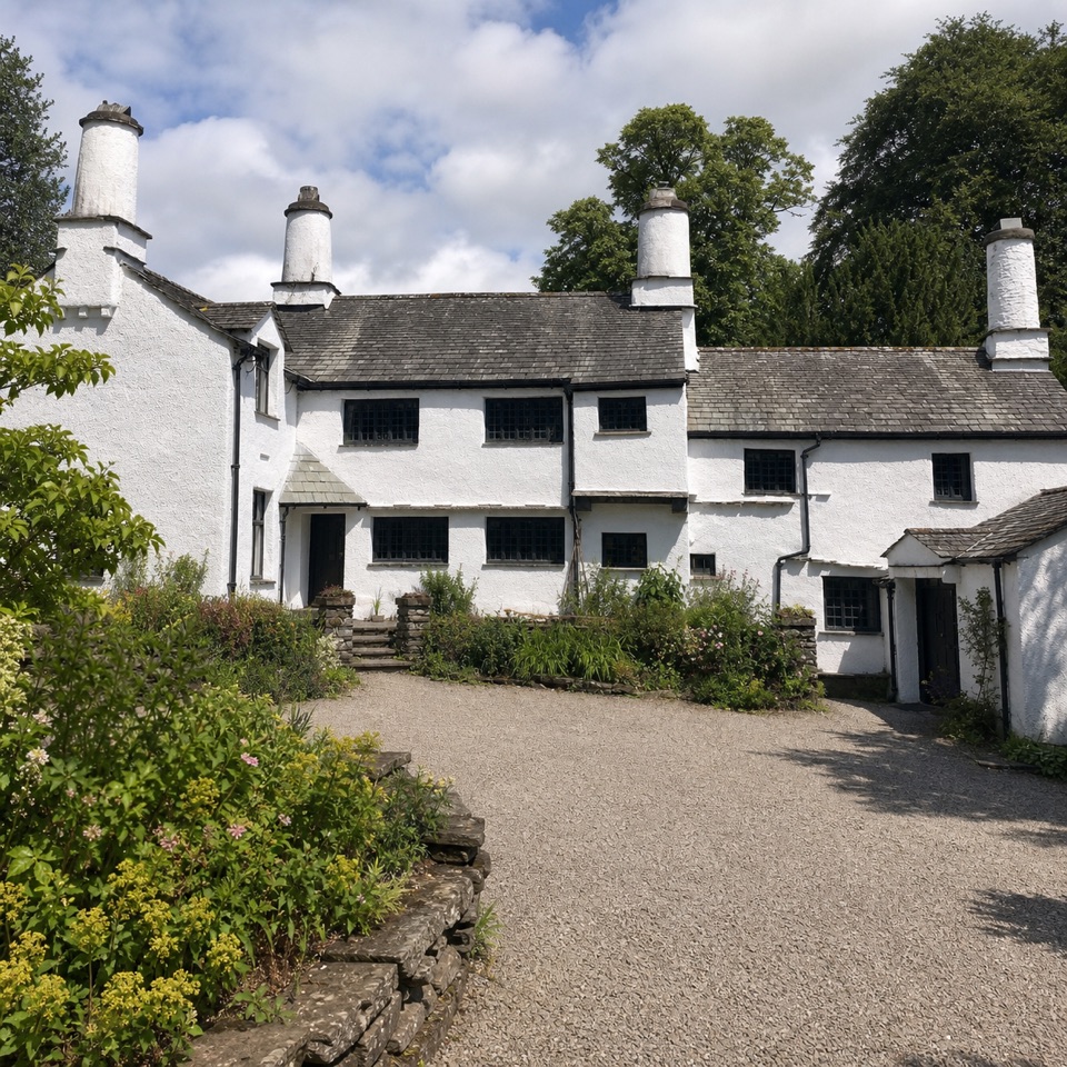 Sight · 0.7 km awayTownendA lived-in farmhouse where 400 years of Browne family life remain.
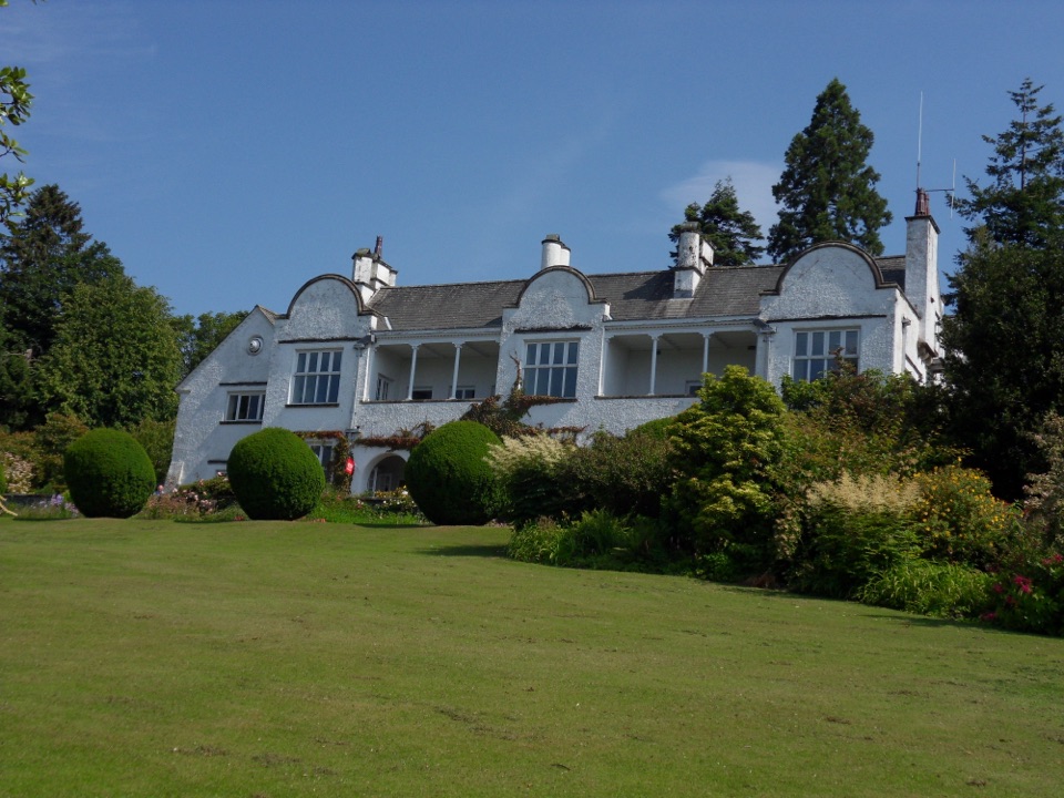 Sight · 2.8 km awayBrockhole on WindermereMawson gardens, woodland, and Windermere shore in one easy stopSight · 3.3 km awayOrrest HeadA short climb to Windermere's classic lake-and-fell panorama
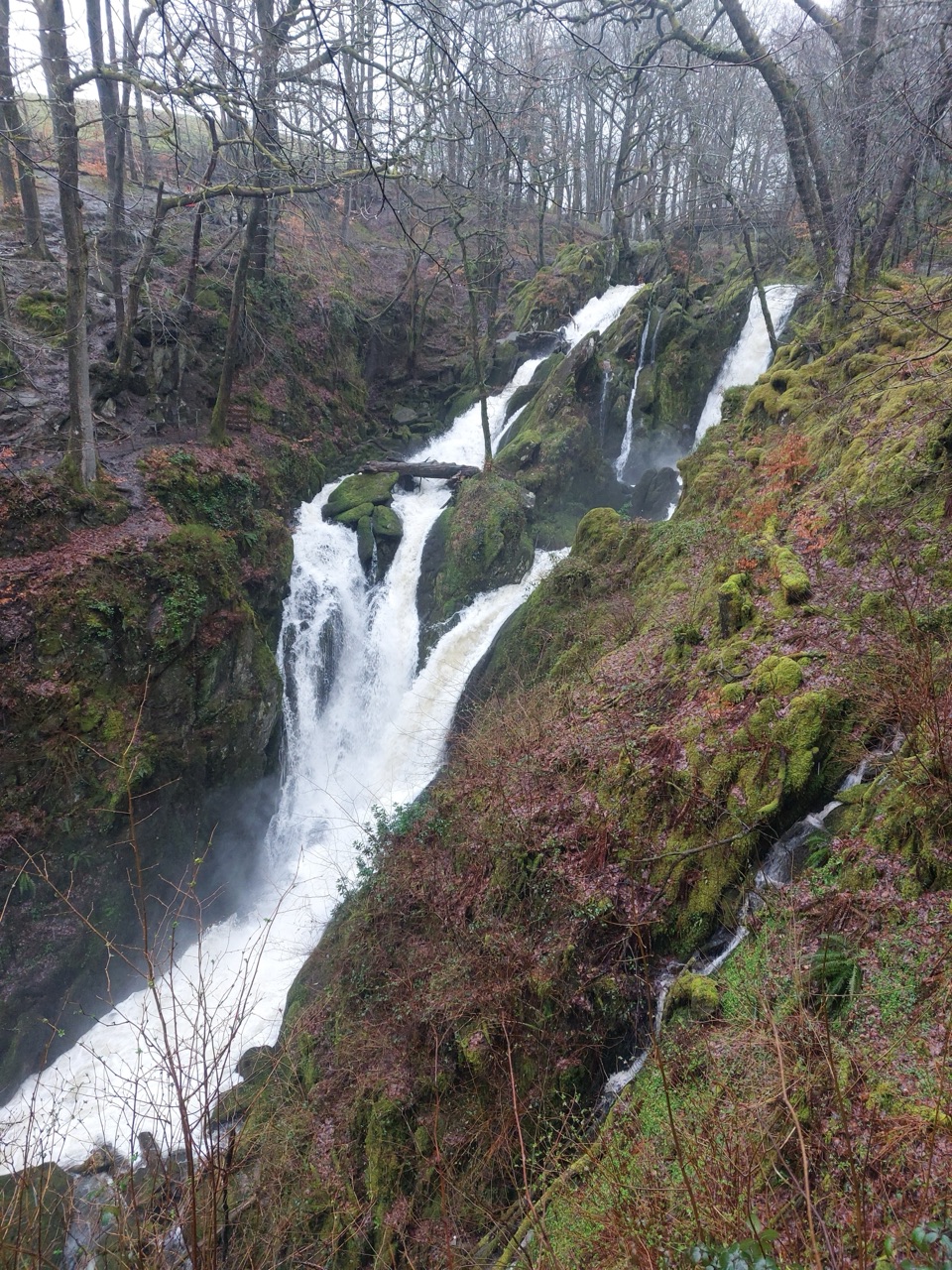 Sight · 3.4 km awayStock Ghyll ForceA short woodland walk to a 70-foot cascade above Ambleside
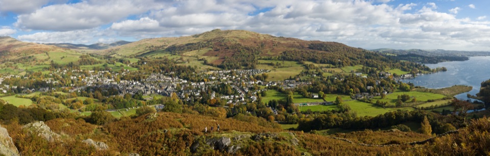 Sight · 4 km awayAmblesideOutdoor shops and old slate streets, with Windermere a mile away
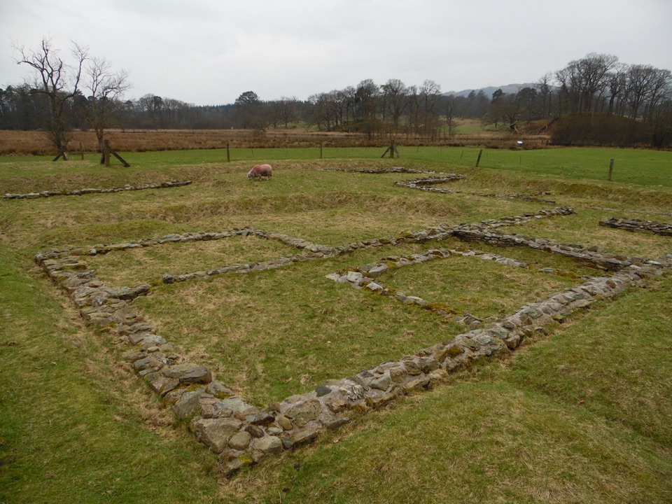 Sight · 4 km awayAmbleside Roman FortLow stone foundations make a Roman garrison surprisingly legible
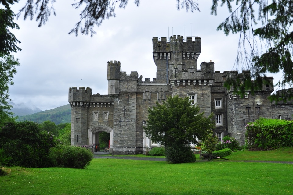 Sight · 4.1 km awayWray CastleA turreted lakeshore estate tied to Beatrix Potter's first visit
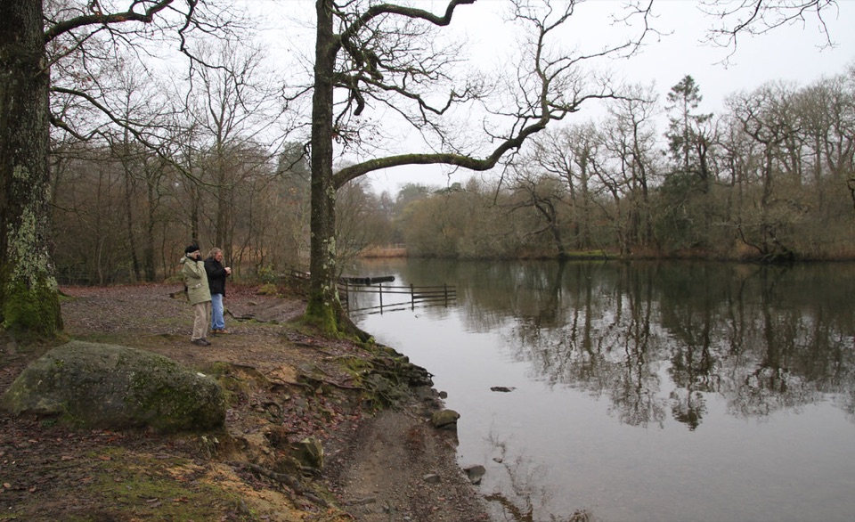 Campground · 4.3 km awayLow Wray CampsiteLakeside camping beside Windermere, with Wray Castle next door
Parkwolf’s Lake District ranking

The audio tour guide for the drive, plus offline maps, trails, and wildlife heatmaps for when the signal drops.





