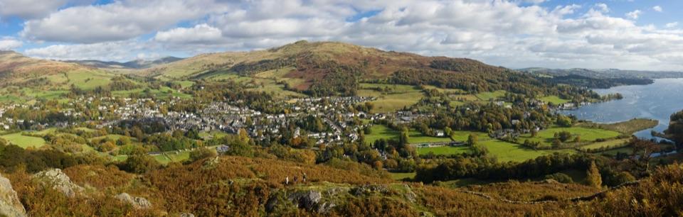
Red Screes and Middle Dodd from Ambleside in Lake District National Park

Lake District National Park, EN

Red Screes and Middle Dodd from Ambleside

A tough two-top circuit with red scree, bog and a summit tarn

Photo: Silence-is-infinite, CC BY-SA 3.0

Length
14.2km
Time
5hr
Elev. change
694m
Difficulty
Challenging
  • Loop
  • Dogs allowed
  • High point 756 m
  • #64 of 265 in Lake District

Hear the audio tour

Ambleside and Stock Ghyll Force

Overview

About Red Screes and Middle Dodd from Ambleside

Why go

  • Two Wainwright summits and the Scandale approach
  • Red-stained scree, tarn and broad fell views

Heads up

  • Short off-path section and indistinct navigation
  • Rough bog, scree and dog-unfriendly stiles
Pick this if you want a varied, committing two-summit round with valley, crag and ridge in one loop. Skip it if you want a fully waymarked lowland walk with dry footing. The much shorter Red Screes ascent from Kirkstone Pass is a simpler and different outing, but it misses the Scandale approach and the full circuit.
Parkwolf’s verdictIs it the right walk for you

Map & elevation

The route

Loading the Lake District map
Full map
Elevation62–756 m
TrailheadAmbleside Post Office and Tourist Information Centre54.43239, -2.96209
Keep this map with you offline in the Parkwolf app

Plan your hike

Before you go

Parking

Start at the Ambleside Post Office and Tourist Information Centre at the top of town. Parking options include the main car park above town on the A591 toward Rydal or Miller Field at the bottom end of Ambleside; walk to the town-centre start. The route begins at the centre, not at Kirkstone Pass.

Safety

The high route has steep, exposed ground close to crags and indistinct navigation in mist. Expect rough boulder and scree, peat and bog, plus a short off-path section to Middle Dodd. The southern ridge has ladder and step stiles without dog gates or bypasses. Keep dogs under close control around livestock and steep ground.

8 active Lake District alerts

  • ClosureAnglers’ Crag path closes intermittently for repairsFootpath 407024 and the adjoining unrecorded way over Anglers’ Crag on Ennerdale Water’s southern shore close intermittently for repairs; follow signs to check whether the path is open.Official details
  • ClosureWhinlatter paths close intermittently for forestry workSections of Bridleway 201006 in Thornthwaite Forest and Footpath 201044 at Beckstones Gill close intermittently for forestry thinning; follow signs, as the paths are open when closures are not in…Official details
See all 8 alerts
A park ranger sits on a dash-mounted phone, talking, as Parkwolf’s Tour Guide plays “Army Cutworm Moths: A Grizzly Bear Buffet” on Grand Loop Road below Dunraven Pass in Yellowstone
Parkwolf Tour GuideThe highest, rockiest slopes around here are a summer buffet for grizzly bears.

Lake District Tour Guide

Your drive to Red Screes and Middle Dodd from Ambleside, narrated.

Parkwolf is a GPS audio tour guide for Lake District National Park. As you drive, it chimes in with what’s ahead: hidden gems, upcoming stops, history, geology, and wildlife, right through your car’s speakers.

See the Lake District audio tour

Recorded for this trailhead

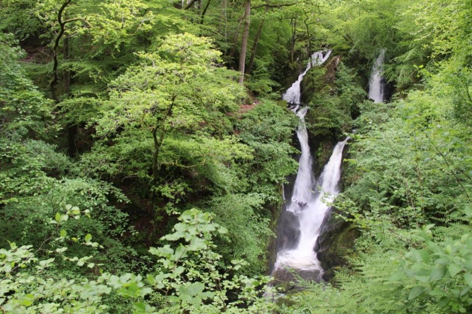
Ambleside and Stock Ghyll Force
0:00 / 0:37
“You're coming into Ambleside, a useful stop when some of your group want a walk and others would rather browse shops or find a café.”

Plays as you drive up to this trailhead in the Parkwolf Lake District Tour Guide.

More stories near here in the app

  • Ambleside: Fairfield or Loughrigg
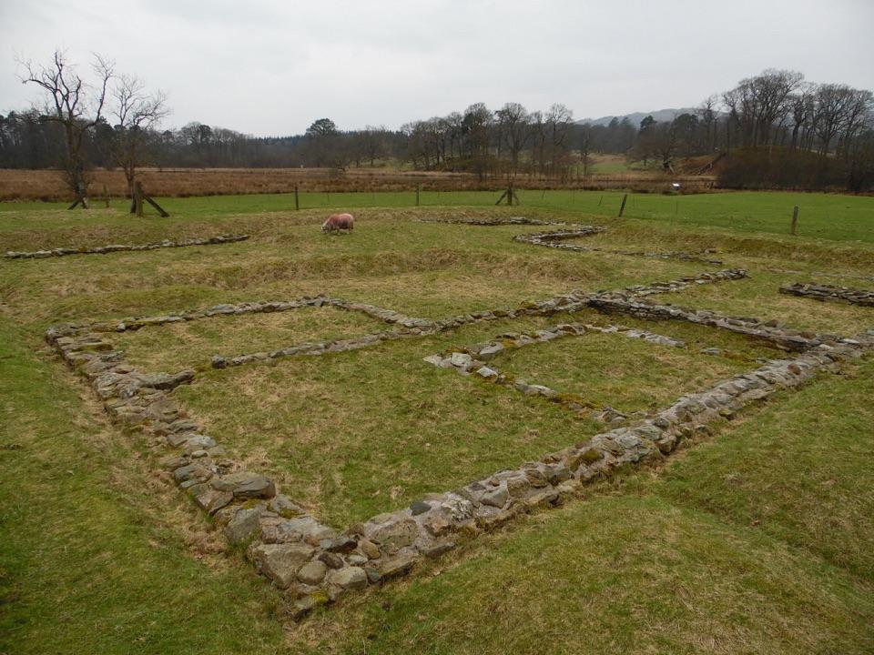
  • Ambleside Roman Fort: Reading the Ruins
  • Dragonflies: Before They Fly
  • Clappersgate: The Walk to Wray
  • 298 audio storiesacross Lake District’s roads, triggered by GPS as you drive
  • Wildlife heatmapsfor Red Deer, Eurasian Otter, Osprey, and 13 more
  • Works offlinemaps, 265 trails, 90 places, and audio download before you lose signal
  • CarPlay readysimple controls built for the drive
★★★★★
“Fantastic app with many points of information… It’s great to just turn on while you’re driving and it gives you an audio tour of the national Park. We love it!!!!”
JMJamesApp Store review
Download Parkwolf on the App StoreGet Parkwolf on Google Play

4.7 from 8,600+ ratings

Trail guide

Hiking Red Screes and Middle Dodd from Ambleside

The shape of the dayThis 8.8-mile (14.

This 8.8-mile (14.2 km) fell circuit from Ambleside climbs Scandale to Middle Dodd and Red Screes, then returns along the southern ridge. Expect 806 m of ascent and allow about five hours, longer with stops. The short off-path section to Middle Dodd and rough, boggy ground call for confident navigation, especially in mist.

Sequence and payoffThe two-summit pairing is the point here: Middle Dodd gives the valley-head drama, Red Screes…

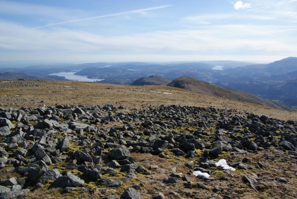
The two-summit pairing is the point here: Middle Dodd gives the valley-head drama, Red Screes gives the wide panorama.

  • Street start up North Road and Kirkstone Road, then Sweden Bridge Lane and a track into Scandale, passing High Sweden Bridge without crossing it.
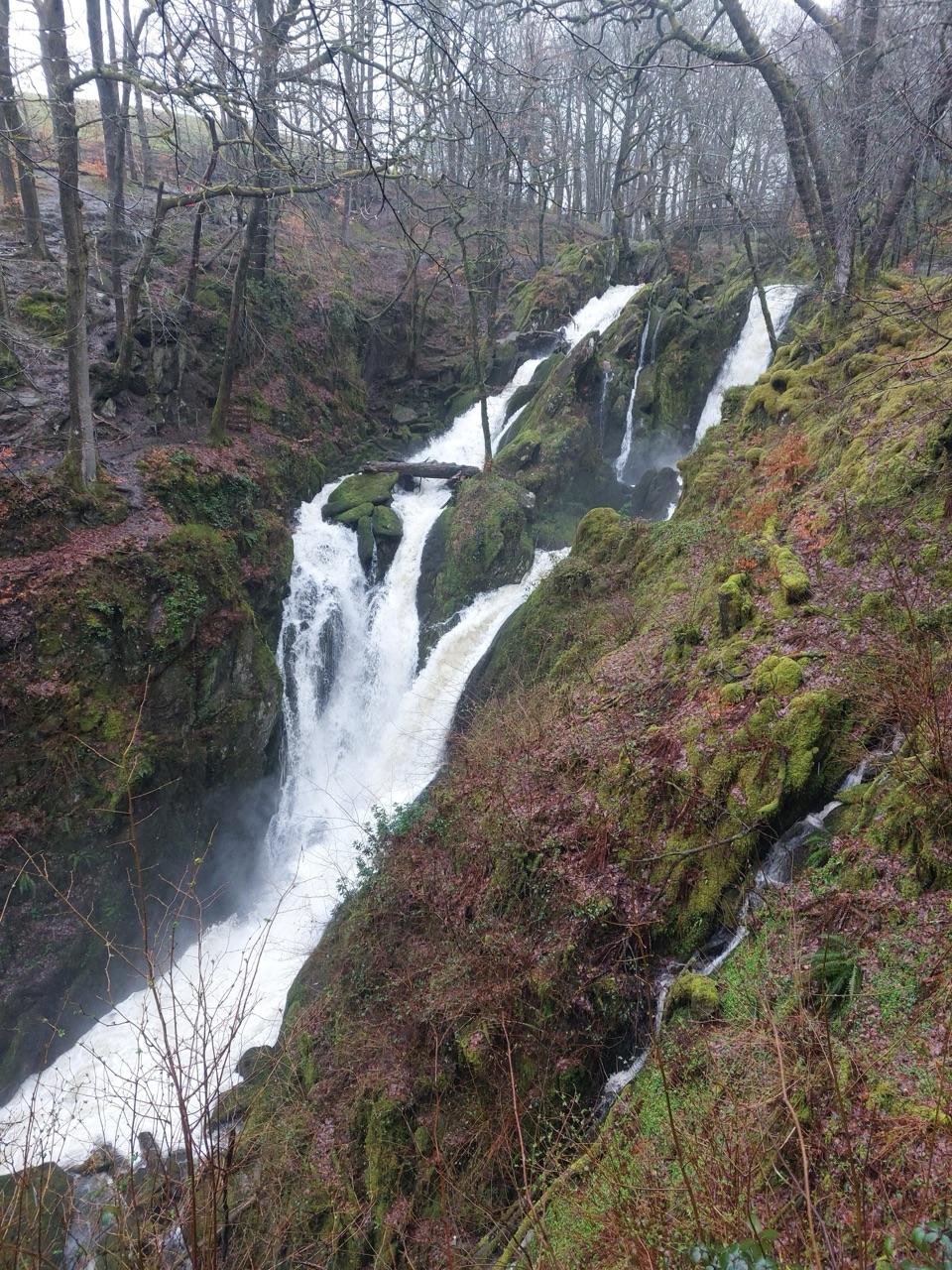
  • Follow Scandale Beck past cascades and through wetter ground near Scandale Bottom to Scandale Pass.
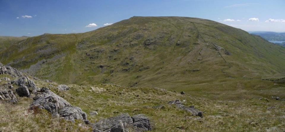
  • A short deliberate off-path traverse out to Middle Dodd, with big views down to Brothers Water, then back to the col.
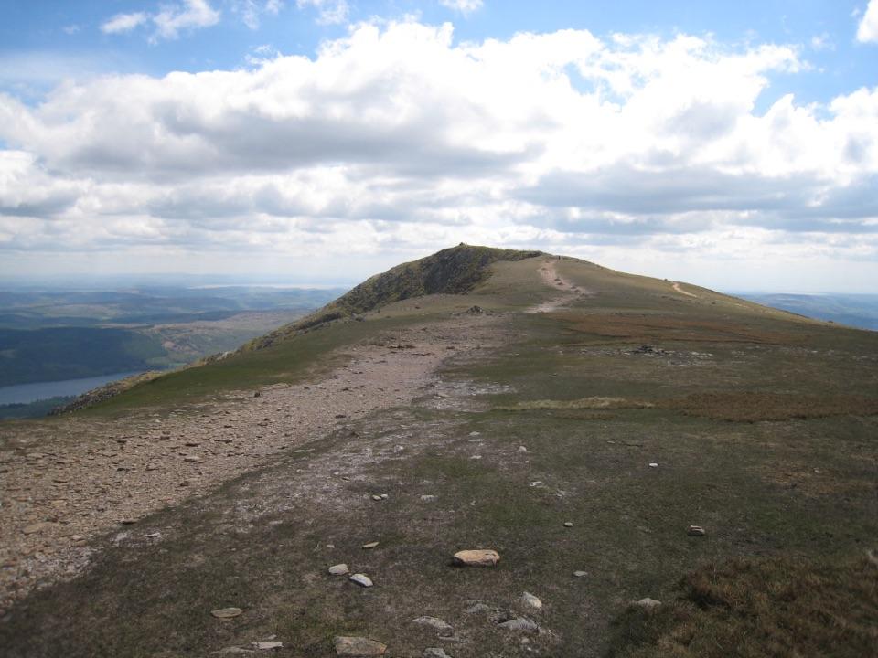
  • The ridge above the crags to Red Screes, passing the summit tarn, trig point, cairns and windshelter.
  • Descent by the southern ridge over boggy Snarker Moss, across ladder and step stiles, joining The Struggle back into Ambleside.
Difficulty and footingThe climbing is sustained rather than technical, but expect rough, rocky ground:

The climbing is sustained rather than technical, but expect rough, rocky ground:

Mist makes the navigation notably harder, especially on the off-path traverse and around the crag edge.

  • Very rough boulder and scree, peat, bog and steep grassy slopes.
  • Indistinct paths in places, with real map-and-compass demands.
  • A short section with no path at all on the way to Middle Dodd.
  • Some exposure near crags between Middle Dodd and Red Screes.
  • Rough, wet ground and repeated stiles on the lower southern ridge.
Scenery and landscapeViews open to Ambleside and Windermere on the way up and back, with Brothers Water, Ullswater…

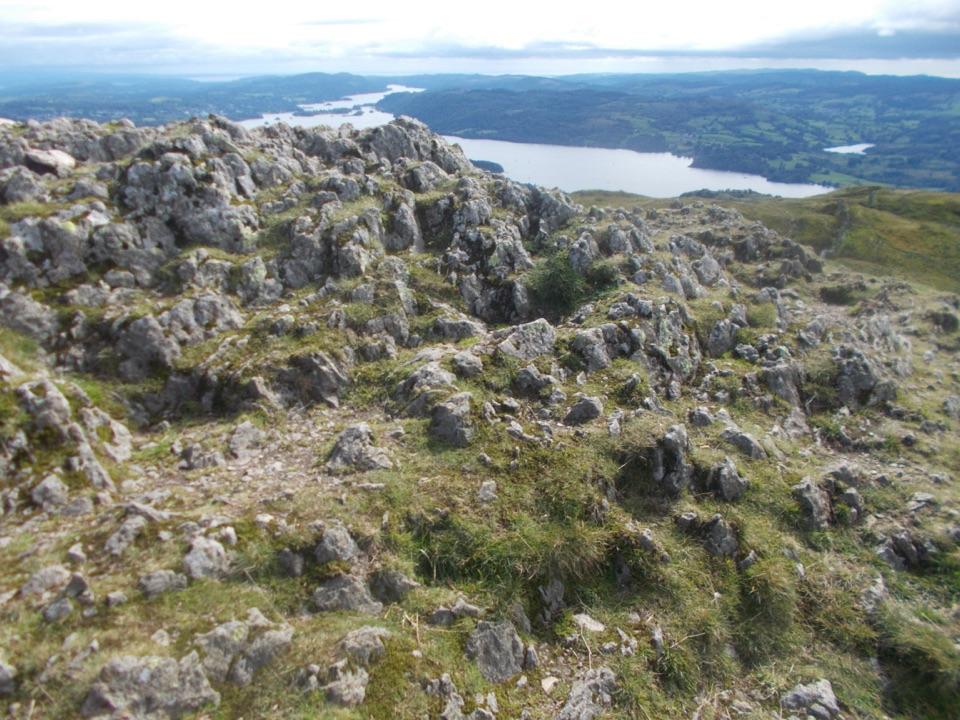
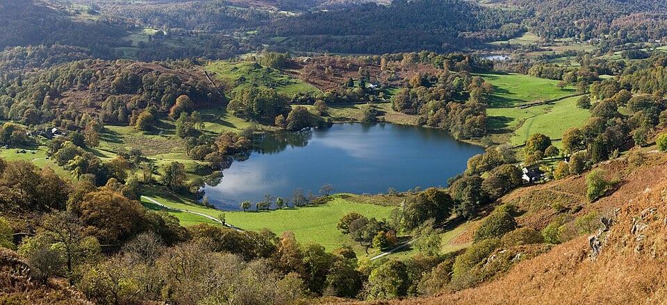
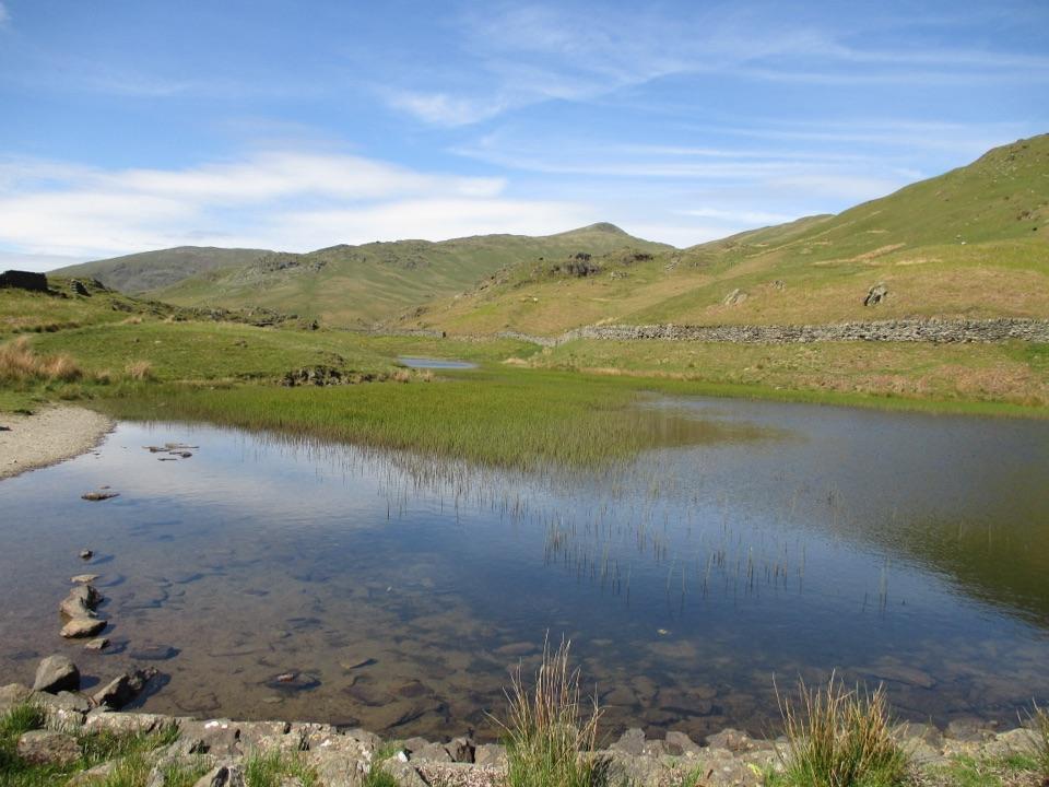
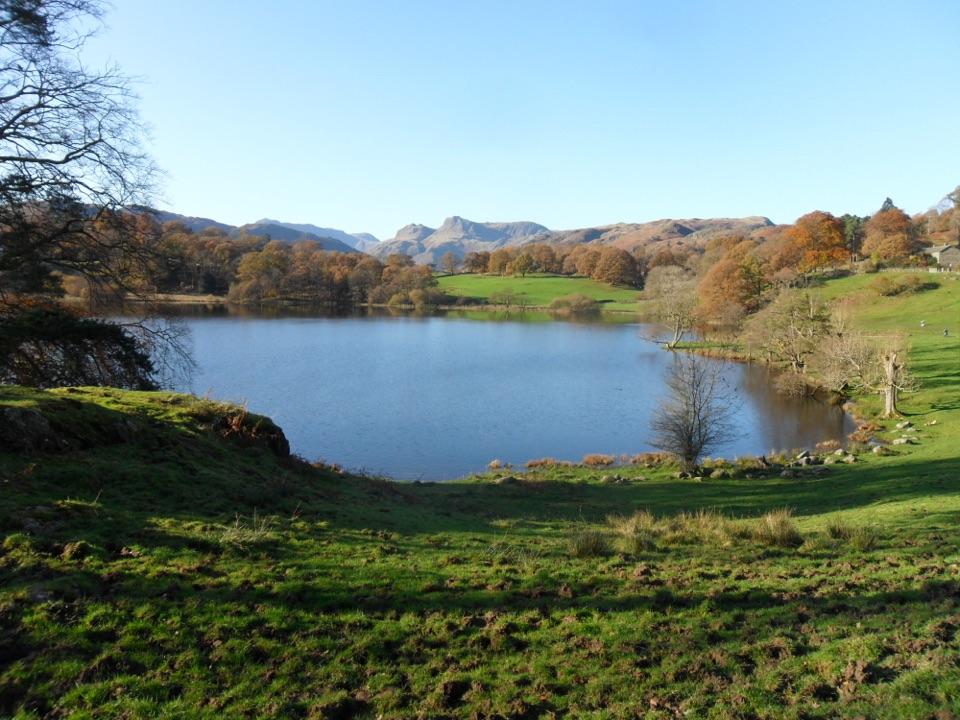
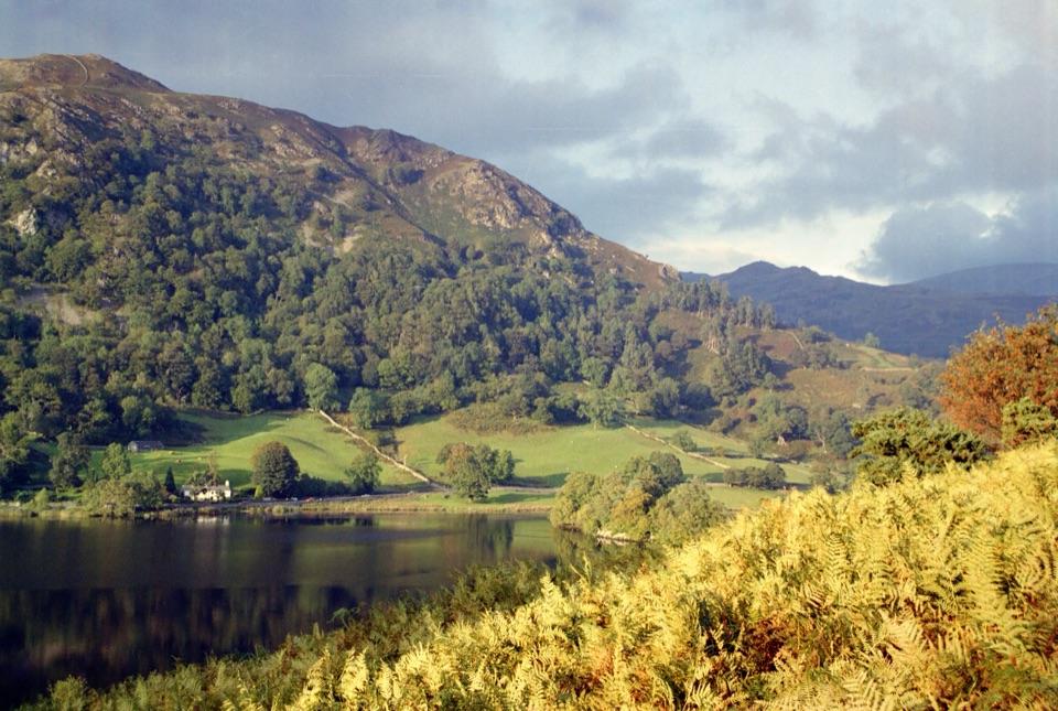
Views open to Ambleside and Windermere on the way up and back, with Brothers Water, Ullswater and the Fairfield high ground from the tops. The red-stained scree that names the fell is the durable signature of the walk, alongside the small summit tarn and the dry-stone walls threading the lower slopes.

Access, parking and dogsParking options include the main car park above Ambleside on the A591 toward Rydal, or Miller…

Parking options include the main car park above Ambleside on the A591 toward Rydal, or Miller Field at the bottom of town, then a short walk to the town-centre start.

Dogs are allowed on the standard route, but keep them under close control around livestock and steep ground. Note that the stiles on the lower southern ridge have no dog gate or bypass, so a dog that cannot be lifted will struggle.

Wildlife

Wildlife in Lake District

All Lake District wildlife maps

Sighting maps show where each species has been reported across Lake District. Wildlife moves, so no sighting is guaranteed.

Keep exploring

Near Red Screes and Middle Dodd from Ambleside

See it all on the map

Trails that start nearby

Places near the trailhead

Parkwolf’s Lake District ranking

Top-rated trails in Lake District

All 265 trails
  1. 1Scafell Pike via Hollow Stones from WasdaleChallenging · 9 km
  2. 2Helvellyn via Striding Edge and Swirral EdgeChallenging · 12.4 km
  3. 3CatbellsModerate · 6.6 km
  4. 4The Old Man of ConistonChallenging · 9 km
  5. 5Buttermere CircularEasy · 7.6 km
  6. 6The Fairfield HorseshoeChallenging · 17.2 km

Take Parkwolf to Lake District.

The audio tour guide for the drive, plus offline maps, trails, and wildlife heatmaps for when the signal drops.

4.7 from 8,600+ ratings

Download Parkwolf on the App StoreGet Parkwolf on Google Play