Hawkshead to Loanthwaite Lane in Lake District National Park

Lake District National Park, EN

Hawkshead to Loanthwaite Lane

Easy stone tracks and hedged lanes through meadows north of Hawkshead

Length
2km
Time
1hr
Elev. change
17m
Difficulty
Easy
  • Dogs allowed
  • High point 87 m

Hear the audio tour

Hawkshead: Village Lanes and Meadow Walk

Overview

About Hawkshead to Loanthwaite Lane

Why go

  • Easy, well-surfaced route with a quiet meadow finish
  • Good short outing straight from Hawkshead

Heads up

  • Occasional off-road vehicles on Scar House Lane
  • Gates interrupt an otherwise smooth walk

Map & elevation

The route

Loading the Lake District map
Full map
Elevation70–87 m
TrailheadBlack Beck Road54.37575, -2.99798
Keep this map with you offline in the Parkwolf app

Plan your hike

Before you go

Parking

Use the signed National Park village car park, about 300 m from Hawkshead, then walk to Black Beck Road. From the village centre, follow the cycle route signs; from the main car park, use the pavement beside the B5285 for about 200 m. The trail starts on Black Beck Road, not at the car park.


Best time to go

Spring through autumn is generally the most straightforward, with long daylight and firmer ground. In winter, short days and wet ground can slow things down, so start earlier and expect softer going in places. Pick clear weather if the fell views matter to you.

Safety

Scar House Lane is also used occasionally by off-road vehicles, so keep to one side and listen out. The route passes through working farmland with gates and livestock; local signs may require tighter dog control. Loanthwaite Lane is the turning point, not part of the optional steep and narrow extension beyond it.

8 active Lake District alerts

  • ClosureChapel Stile footpath closed for retaining-wall riskPart of Footpath 543030 between Chapel Stile and Baysbrown campsite is closed because a retaining wall beside the path could collapse and material it supports could fall across the footpath.Official details
  • ClosureStanley Ghyll Lower Falls footpath closed for rockfallThe section of Footpath 408037 leading towards Stanley Ghyll Lower Falls is closed because severe rockfall damage has made the path unstable and further rockfall remains a danger.Official details
See all 8 alerts
A park ranger sits on a dash-mounted phone, talking, as Parkwolf’s Tour Guide plays “Army Cutworm Moths: A Grizzly Bear Buffet” on Grand Loop Road below Dunraven Pass in Yellowstone
Parkwolf Tour GuideThe highest, rockiest slopes around here are a summer buffet for grizzly bears.

Lake District Tour Guide

Your drive to Hawkshead to Loanthwaite Lane, narrated.

Parkwolf is a GPS audio tour guide for Lake District National Park. As you drive, it chimes in with what’s ahead: hidden gems, upcoming stops, history, geology, and wildlife, right through your car’s speakers.

Recorded for this trailhead

Hawkshead: Village Lanes and Meadow Walk
0:00 / 1:06
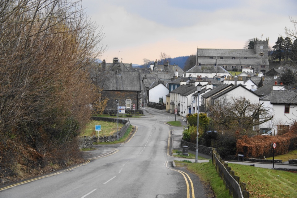
“You're coming into Hawkshead, where whitewashed cottages, cobbled lanes and little courtyards make a lovely stop to explore on foot.”

Plays as you drive up to this trailhead in the Parkwolf Lake District Tour Guide.

More stories near here in the app

  • Hawkshead: Wordsworth’s Schoolboy Carving
  • Beatrix Potter: Mushrooms Under the Microscope
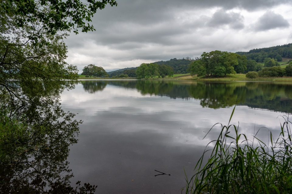
  • Esthwaite Water: Ospreys and a Lakeside Pause
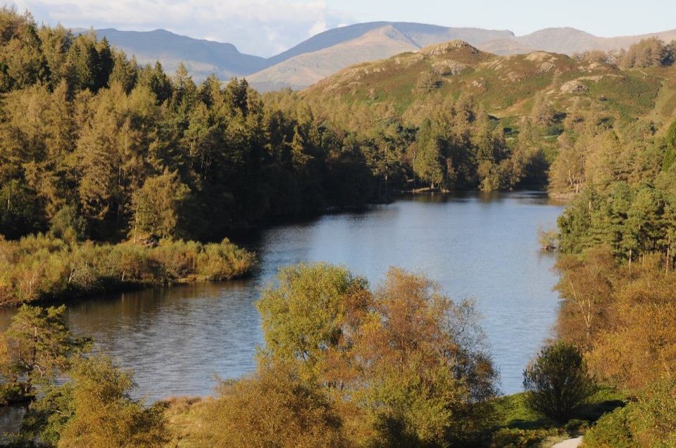
  • Tarn Hows: Lakeside or Fell Walk
  • 298 audio storiesacross Lake District’s roads, triggered by GPS as you drive
  • Wildlife heatmapsfor Red Deer, Eurasian Otter, Osprey, and 13 more
  • Works offlinemaps, 265 trails, 89 places, and audio download before you lose signal
  • CarPlay readysimple controls built for the drive
★★★★★
“Fantastic app with many points of information… It’s great to just turn on while you’re driving and it gives you an audio tour of the national Park. We love it!!!!”
JMJamesApp Store review
Download Parkwolf on the App StoreGet Parkwolf on Google Play

4.7 from 8,600+ ratings

Trail guide

Hiking Hawkshead to Loanthwaite Lane

The route in shortThis is a linear out-and-back walk, and the 2 km total is the full round trip, roughly 1.

This is a linear out-and-back walk, and the 2 km total is the full round trip, roughly 1.24 miles, with about 1 km in each direction. Allow around an hour if you want time to stop and look around. It is one of the National Park's Miles Without Stiles routes, designed to be manageable for many visitors rather than only confident fell walkers.

Following the pathStart on Black Beck Road, just off the B5285 on the edge of Hawkshead.

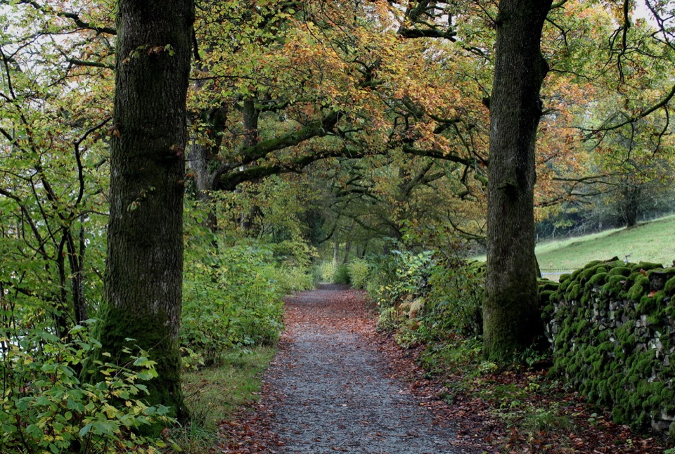
Start on Black Beck Road, just off the B5285 on the edge of Hawkshead. Take the short access lane, then turn right by the cottages and pick up the path lined with traditional shard fencing. Cross the bridge and carry on along a stone-surfaced track, passing through gates, then turn left onto hedge-lined Scar House Lane. Loanthwaite Lane is your turning point, and you retrace the same way back to the village.

Footing and difficultyFooting is straightforward: well-surfaced stone track and compacted cycleway or bridleway…

Footing is straightforward: well-surfaced stone track and compacted cycleway or bridleway sections, with a bridge, a few gates to open and close, and a quiet hedged lane. There is no mountain exposure and no serious climbing. The one thing worth knowing is that Scar House Lane sees occasional off-road vehicles, so keep to one side and listen out, especially with children or a dog.

What you getThe payoff is gentle rather than dramatic.

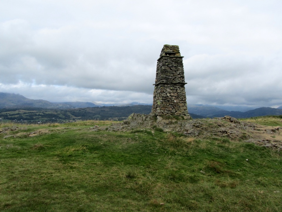
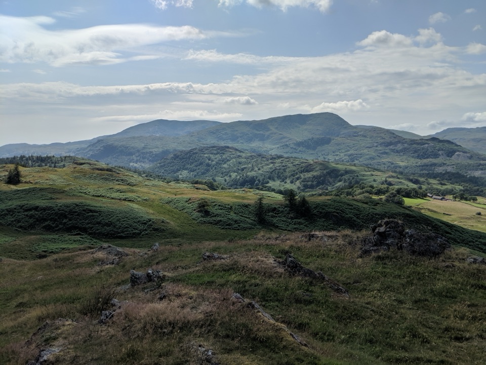
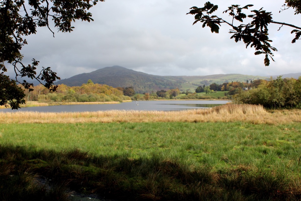
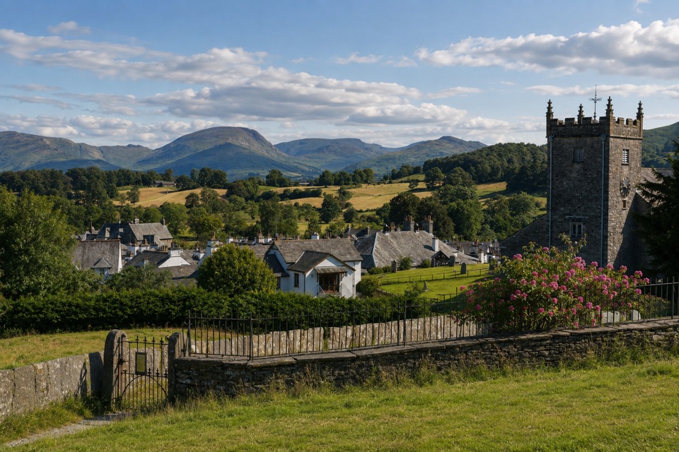
The payoff is gentle rather than dramatic. You get quiet meadows, dry stone walls and old lanes immediately north of Hawkshead, with the village and the surrounding fells framing the view. Think of it as an easy countryside stroll with good access rather than a walk to a single big viewpoint. For photographs, low light early or late in the day picks out the stone walls and field patterns nicely, and clear conditions give the best of the fell backdrop.

Getting there and practicalitiesUse the signed National Park village car park, about 300 m from the village, where there are…

Use the signed National Park village car park, about 300 m from the village, where there are public toilets, then walk across to Black Beck Road. From the village centre you can follow the cycle route signs, or from the main car park it is about 200 m of pavement beside the B5285. The whole route is on public paths and lanes.

DogsDogs are welcome on these public paths.

Dogs are welcome on these public paths. Keep them close and under control, particularly around livestock in the meadows and where the route runs between fields, and follow any signs you see locally.

If you want something biggerTarn Hows is not far away and offers a longer, more scenic loop on a developed gravel path,…

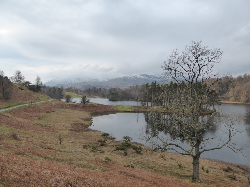
Tarn Hows is not far away and offers a longer, more scenic loop on a developed gravel path, though it is considerably busier. This walk is the short, low-level option straight from Hawkshead when you want quiet ground and less time on your feet.

Wildlife

Wildlife in Lake District

All Lake District wildlife maps

Sighting maps show where each species has been reported across Lake District. Wildlife moves, so no sighting is guaranteed.

Keep exploring

Near Hawkshead to Loanthwaite Lane

See it all on the map

Trails that start nearby

Places near the trailhead

Parkwolf’s Lake District ranking

Top-rated trails in Lake District

All 265 trails
  1. 1Scafell Pike via Hollow Stones from WasdaleChallenging · 9 km
  2. 2Helvellyn via Striding Edge and Swirral EdgeChallenging · 12.4 km
  3. 3CatbellsModerate · 6.6 km
  4. 4The Old Man of ConistonChallenging · 9 km
  5. 5Buttermere CircularEasy · 7.6 km
  6. 6The Fairfield HorseshoeChallenging · 17.2 km

Take Parkwolf to Lake District.

The audio tour guide for the drive, plus offline maps, trails, and wildlife heatmaps for when the signal drops.

4.7 from 8,600+ ratings

Download Parkwolf on the App StoreGet Parkwolf on Google Play