Parking
Use the designated South Parking Area on Sagamore Road, about 0.6 mile beyond the turn from Gull Bay Road. The lot is not plowed in winter and may be inaccessible after snowfall.
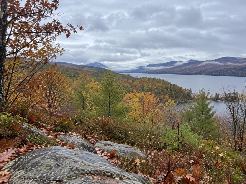
Lake George NY, NY
A short climb ends at a picnic table above Gull Bay.
Overview
Map & elevation
Plan your hike

The highest, rockiest slopes around here are a summer buffet for grizzly bears.
Lake George Tour Guide
Parkwolf is a GPS audio tour guide for Lake George NY. As you drive, it chimes in with what’s ahead: hidden gems, upcoming stops, history, geology, and wildlife, right through your car’s speakers.
See the Lake George audio tourRecorded for this trailhead
Sucker Brook Preserve’s Southern Trails“You’re nearing the Sagamore Road access to Sucker Brook Preserve’s southern trails. The half-hour Blue Trail walk leads to a picnic table overlooking Gull Bay and the Narrows, then returns the same way.”
Plays as you drive up to this trailhead in the Parkwolf Lake George Tour Guide.
More stories near here in the app
“Fantastic app with many points of information… It’s great to just turn on while you’re driving and it gives you an audio tour of the national Park. We love it!!!!”


Trail guide
The Blue Trail from South Lot is a short spur through the woods to a south-facing overlook above Gull Bay. It climbs gradually for about 0.34 mile; retrace it for about 0.68 mile round trip, and plan roughly 30 minutes with a pause at the view. Elevation sampling suggests about 150 feet of ascent. Surface and steps are not described, so check locally if they affect whether this walk will work for you.
The endpoint looks across Gull Bay and south along Lake George through the Narrows. A picnic table sits at the viewpoint, and educational signs line the way. For a photo, include the rocky foreground and shoreline trees before opening the frame toward the lake and mountain ridges. The Blue Trail connects with longer Yellow and Orange routes; retrace your steps from the overlook for the short outing.
Start at the designated South Parking Area on Sagamore Road, about 0.6 mile beyond the turn from Gull Bay Road. The preserve is free and open from dawn to dusk year-round, but the lot is unplowed in winter and may be inaccessible after snow. Dogs are allowed on leash. Hunting requires a land-manager permit; in hunting season, hikers are advised to wear bright colors and go in groups. The 1,078-acre preserve combines lands protected in 2003 and 2009, with wetlands and beaver-created ponds. Its southern section protects a great blue heron rookery, most active March through July; keep your distance and stay on marked trails.
Wildlife
 34 sightingsWhite-tailed DeerMost seen around 5 PMSighting map
 26 sightingsTimber RattlesnakeMost seen around 6 PMSighting map
 22 sightingsOspreyMost seen around 7 AMSighting map
 60 sightingsLoonMost seen around 6 AMSighting map
 33 sightingsPorcupineMost seen around 7 PMSighting map
 84 sightingsGreat Blue HeronMost seen around 6 AMSighting map
Sighting maps show where each species has been reported across Lake George. Wildlife moves, so no sighting is guaranteed.
Keep exploring
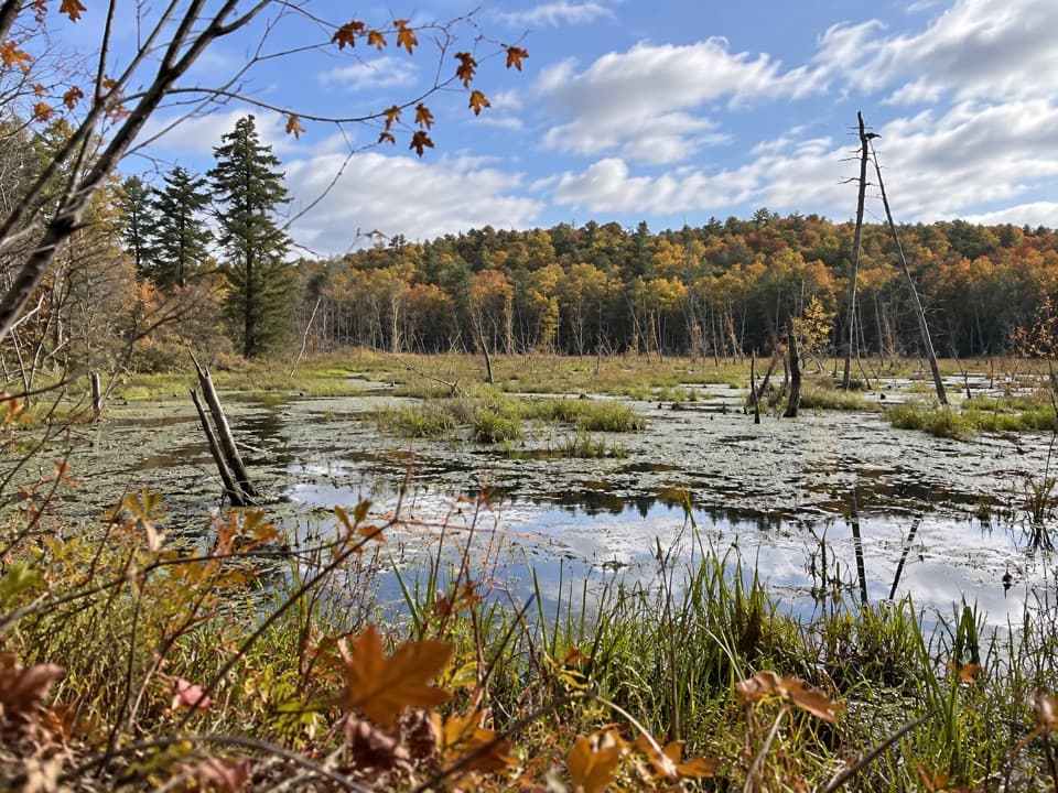 EasySucker Brook Preserve Orange Pond Loop1.6 mi · 1.3 hr · At the trailheadA short loop beside a beaver pond and great blue heron rookery.
 EasySucker Brook Preserve White Trail1 mi · 30 min · 0.8 mi awayAn easy spur beside a rare northern white cedar swamp.
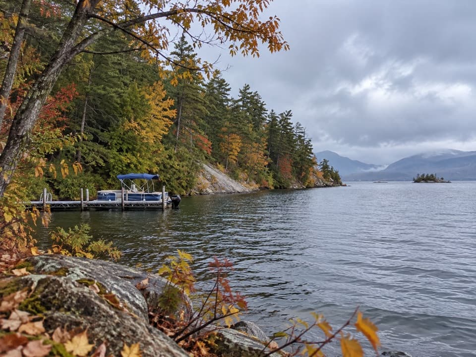 EasySucker Brook Preserve North Blue Trail2.8 mi · 1.8 hr · 1.7 mi awayA wooded route to a seasonal dock on Lake George
 EasyAndia-te-roc-te Trail0.9 mi · 36 min · 1.7 mi awayA short wetlands-view loop reached by the preserve’s Blue Trail.
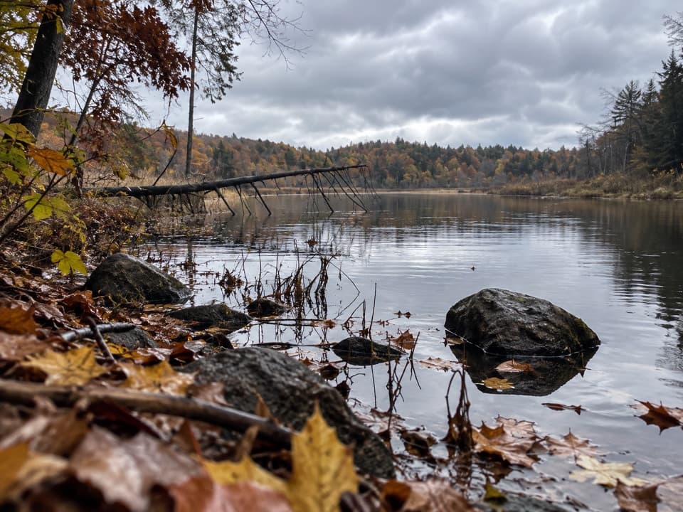 EasySucker Brook Preserve North Green Trail0.6 mi · 30 min · 1.7 mi awayA short walk to a beaver-built pond.
 ModerateAnthony’s Nose Preserve Blue Trail to Record Hill1.6 mi · 1.5 hr · 2.2 mi awayTwo Lake George viewpoints on a short but steep Blue Trail.
 EasyLittle Jabe Pond Trail0.6 mi · 30 min · 4.2 mi awayA quick yellow trail to a smaller, more isolated pond.
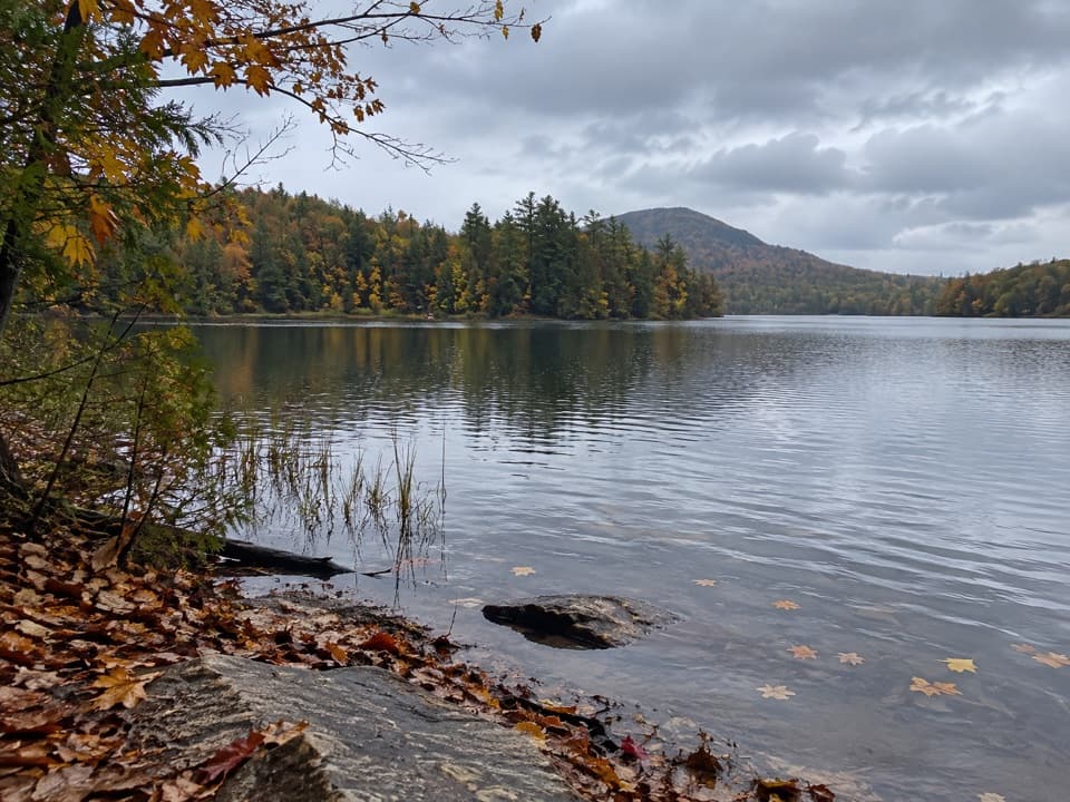 EasyJabe Pond Trail1.6 mi · 1 hr · 4.2 mi awayA short pond walk with rocky shore stops along the way.
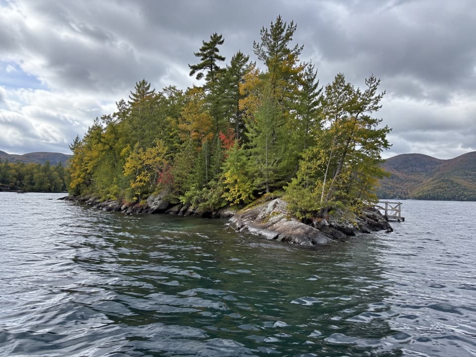 Picnic area · 1.6 mi awayAsas IslandA small boat-only picnic island with three numbered dock sites.
 Picnic area · 2.1 mi awayPeggy’s PointA shaded lakeside picnic stop with a small flower garden.
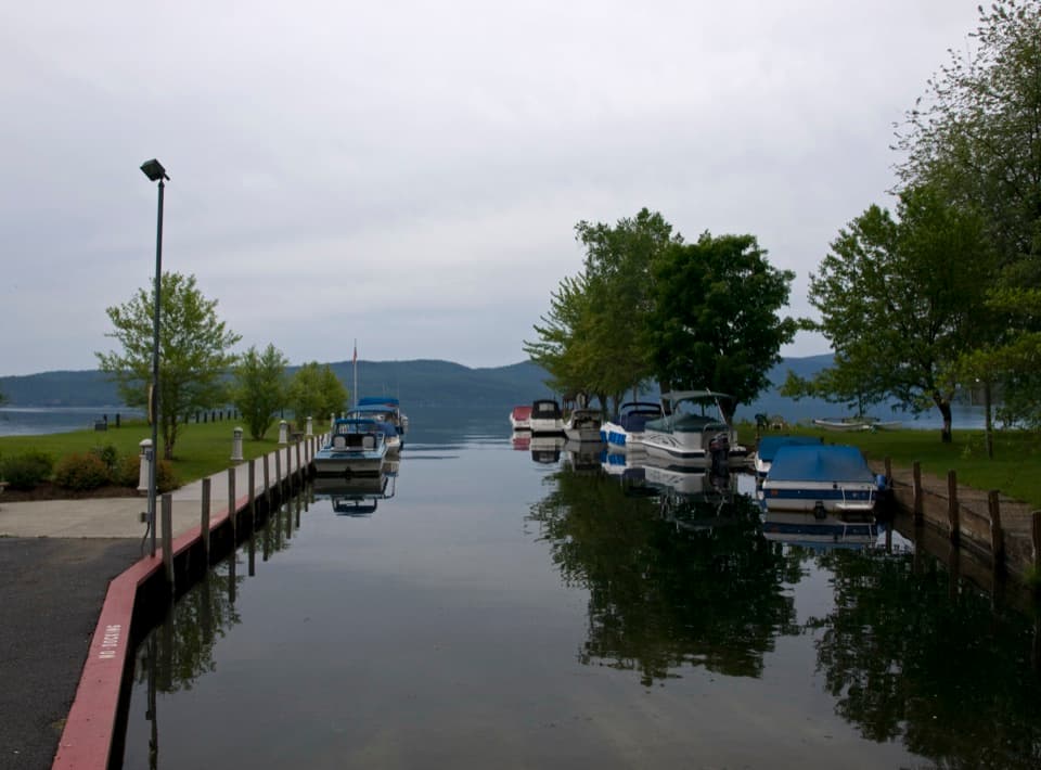 Beach · 2.1 mi awayHague Town Beach ParkA shallow family beach with a story rooted in one woman's wish.
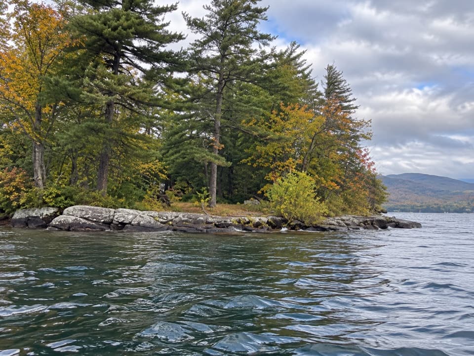 Picnic area · 4.1 mi awayO’Dell IslandA boat-only picnic stop on Lake George, with two dockside sites.
 Campground · 4.2 mi awayRogers Rock Campground and Day Use AreaA 332-site campground with a sandy Lake George beach.
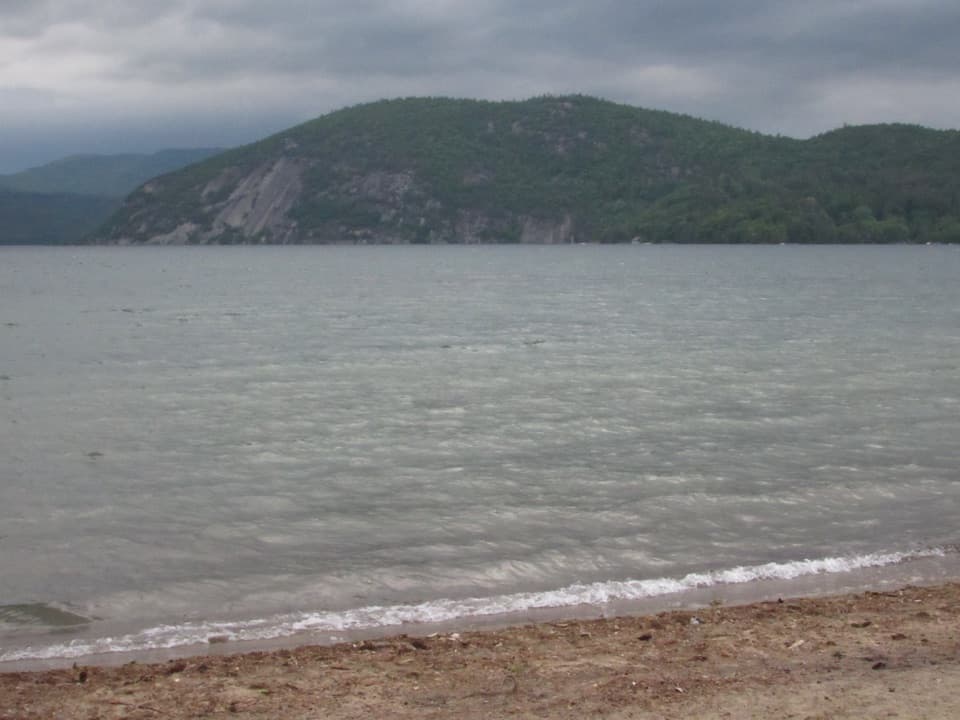 Beach · 4.6 mi awayBlack Point BeachA sandy swim with Rogers Rock filling the far shore.
 Campground · 5.2 mi awayBrookwood RV ResortA wooded 85-site base with cabins, tents, and full RV hookups.
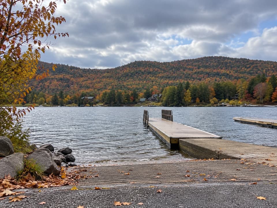 Sight · 6 mi awayMossy Point Boat LaunchHard ramp, trailer parking and a quieter way onto the north end
Parkwolf’s Lake George ranking

The audio tour guide for the drive, plus offline maps, trails, and wildlife heatmaps for when the signal drops.





