Parking
Start at Callville Wash North 2WD Trailhead at Mile 16 on Northshore Road. The 9.9-mile round trip begins here and follows Anniversary Mine Road 94A; a farther 4WD parking point shortens the walk. Confirm current route access locally.

Lake Mead National Recreation Area, AZ · NV
Sculpted narrows give way to a long, exposed summit ridge
Overview
Map & elevation
Plan your hike

The highest, rockiest slopes around here are a summer buffet for grizzly bears.
Lake Mead Tour Guide
Parkwolf is a GPS audio tour guide for Lake Mead National Recreation Area. As you drive, it chimes in with what’s ahead: hidden gems, upcoming stops, history, geology, and wildlife, right through your car’s speakers.
See the Lake Mead audio tourRecorded for this trailhead
Callville Wash North: Anniversary Narrows“You're approaching Callville Wash North trailhead, the starting point for Anniversary Narrows. The usual approach crosses private mining land, so confirm lawful access with park rangers before setting out.”
Plays as you drive up to this trailhead in the Parkwolf Lake Mead Tour Guide.
More stories near here in the app
“Fantastic app with many points of information… It’s great to just turn on while you’re driving and it gives you an audio tour of the national Park. We love it!!!!”


Trail guide
Anniversary Peak is an informal out-and-back of about 9.9 miles round trip from the Mile 16 2WD access. It follows a rough road and wash through Lovell Wash Narrows, then climbs a ridge to the summit. The mapped corridor is 4.94 miles one way; allow about seven hours for the return. The route description's partial mileage adds to about 4.7 miles one way, so the full distance remains an estimate. Most of the approach is wash travel and route-finding rather than a signed, maintained hiking trail.
From the 2WD parking area, follow Anniversary Mine Road 94A toward the hills; a farther 4WD parking point shortens the approach. From there, drop into Lovell Wash and walk upstream through the narrows. The canyon opens into a broad wash valley beneath red and pale mud hills. Pay attention at the forks and take the right branch at the major splits; a narrow side wash is a slower alternative, not a required shortcut.
The route leaves the wash through a cleft, climbs onto a bench and crosses a roughly 30-foot-deep gully before gaining the ridge. A saddle opens a view toward Bowl of Fire and makes a sensible turnaround if the exposed ridge ahead is beyond your comfort. The final narrow, rocky ridge continues to the summit, with long drops on parts of the way. From the top, the view opens over desert and Lake Mead. The saddle is a good place to frame the ridge with Bowl of Fire beyond.
The NPS backcountry-road map lists Road 94A as approved, but it dates from 2016 and does not designate the summit line as an agency trail. The full land status and current route-specific access could not be confirmed; check with the park before setting out. Stay on the mapped approach and do not enter old mine workings.
Flash floods can surge through the narrows and washes; do not enter when rain threatens. Old mine openings are dangerous. Dogs are allowed on park hiking trails on a leash no longer than six feet, though the long approach and exposed ridge make this a poor fit for many dogs.
Wildlife
 525 sightingsBighorn SheepMost seen around 5 PMSighting map
 116 sightingsBurroMost seen around 7 PMSighting map
 18 sightingsBald EagleMost seen around 4 PMSighting map
 99 sightingsWhite PelicanMost seen around 7 AMSighting map
 145 sightingsGreat Blue HeronMost seen around 7 AMSighting map
 106 sightingsTurkey VultureMost seen around noonSighting map
Sighting maps show where each species has been reported across Lake Mead. Wildlife moves, so no sighting is guaranteed.
Keep exploring
 ModerateAnniversary Narrows Trail5.8 mi · 3.5 hr · At the trailheadA twisting, colorful slot canyon on a sun-baked 5.8-mile loop.
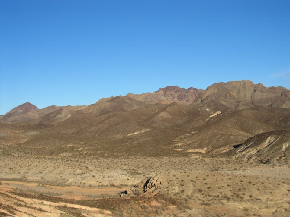 ChallengingHamblin Mountain Trail7.2 mi · 5.5 hr · 2 mi awayA rugged wash climb to a volcanic summit above Lake Mead.
 ModerateBowl of Fire Trail4.6 mi · 3.5 hr · 2 mi awayA faint desert route enters a maze of fire-red sandstone.
 EasyCottonwood Spring Trail2.1 mi · 1.3 hr · 2 mi awayFossil ripples and a desert spring reward an easy wash walk.
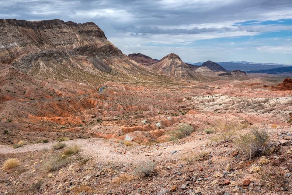 ModerateNorthshore Summit Trail0.6 mi · 1 hr · 4.2 mi awayA short loop climbs to banded desert views over Bowl of Fire.
 ChallengingNorthshore Peak East Ridge Route2.6 mi · 3 hr · 4.3 mi awayA short, exposed ridge scramble to fossil coral and lake views.
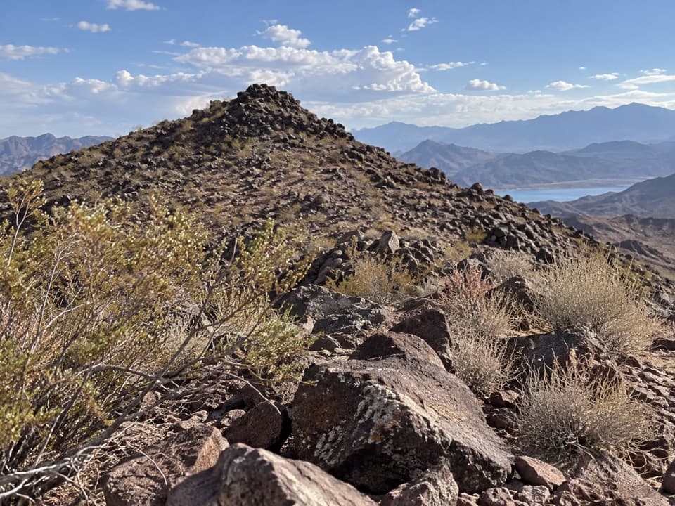 ModerateCallville Ridge Trail4.7 mi · 4 hr · 4.6 mi awayA pathless ridge to three summits and 1950s jet wreckage.
 ModerateBlack Mesa Trail3.9 mi · 3.5 hr · 5.2 mi awayA cross-country climb to Black Mesa's broad summit above Lake Mead.
 Campground · 4.3 mi awayCallville Bay RV ParkFive full-hookup spaces in a marina's tiny RV village.
 Sight · 4.3 mi awayCallville Bay MarinaBoat rentals open a day on the lake beneath red-rock cliffs.
 Picnic area · 4.4 mi awayCallville Bay Picnic AreaEight shaded tables, grills and drinking water make lunch easy.
 Campground · 4.7 mi awayCallville Bay CampgroundA quiet desert camp base with a marina and food nearby.
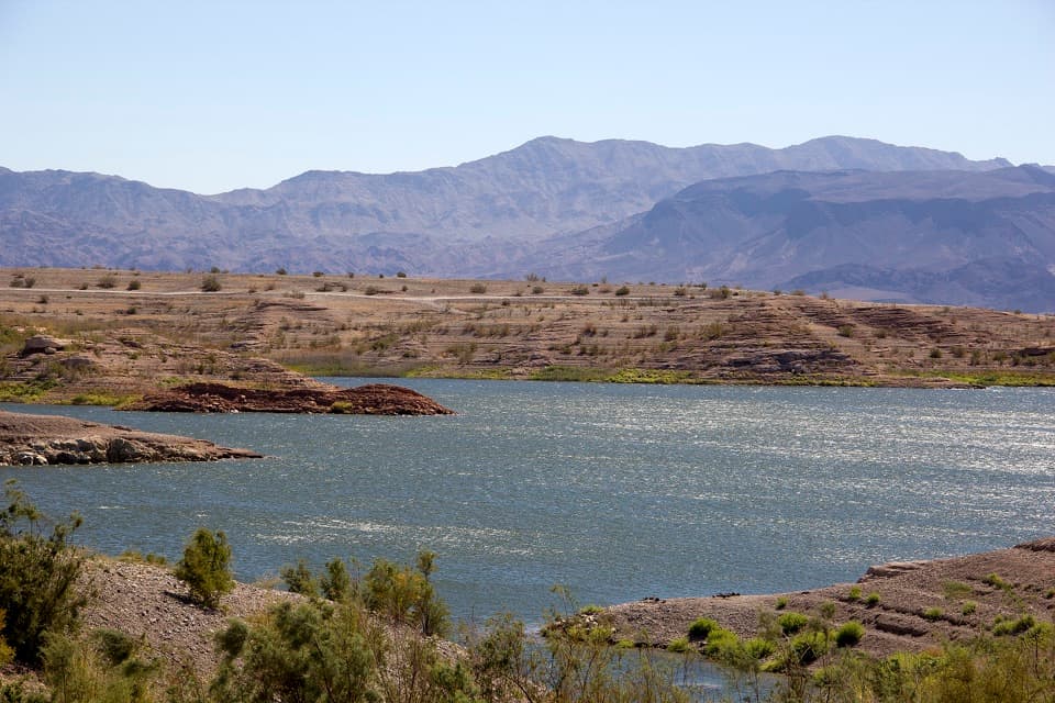 Campground · 9.5 mi awayGovernment Wash Campground and Day Use AreaCamping with small-craft lake access and no utility hookups
Parkwolf’s Lake Mead ranking

The audio tour guide for the drive, plus offline maps, trails, and wildlife heatmaps for when the signal drops.




