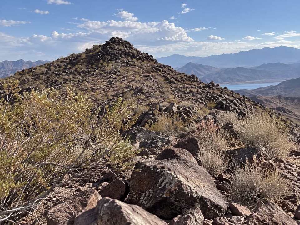
Callville Ridge Trail in Lake Mead National Recreation Area

Lake Mead National Recreation Area, AZ · NV

Callville Ridge Trail

A pathless ridge to three summits and 1950s jet wreckage.

Length
4.7mi
Time
4hr
Elev. change
446ft
Difficulty
Moderate
  • Dogs allowed
  • High point 2,152 ft

Hear the audio tour

Callville Ridge: Summits and Jet Wreckage

Overview

About Callville Ridge Trail

Why go

  • Three linked summits with open basin views
  • A 1950s F-100 crash site along the route

Heads up

  • No built tread; route-finding is cross-country
  • Optional Peak 662 East scramble and cliff edges at Peak 653

Map & elevation

The route

Loading the Lake Mead map
Full map
Elevation1,706–2,152 ft
TrailheadCallville Ridge Trailhead on Callville Bay Road36.17265, -114.76355
Keep this map with you offline in the Parkwolf app

Plan your hike

Before you go

Parking

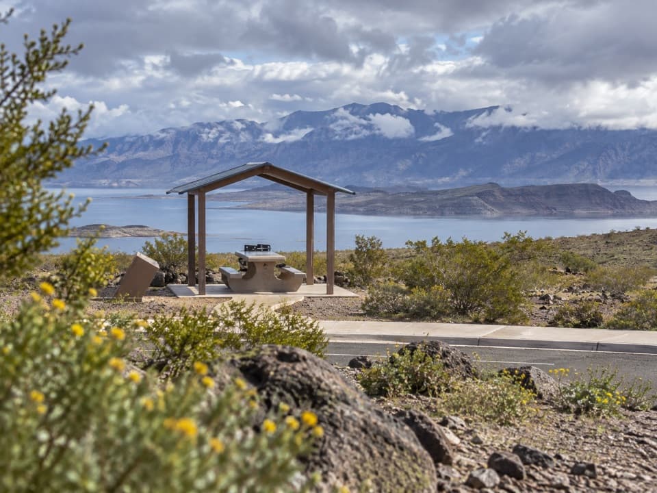
From the Northshore Road and Lakeshore Road junction, drive about 11 miles north on Northshore Road, turn onto Callville Bay Road, then continue about 0.3 mile south to the wide paved pullout on the right. The hiking start is across the road, roughly 100 yards up the pavement. A Lake Mead recreation-use pass is required to enter the area. Water and toilets were not identified at the pullout.

Safety

There is no built path, and the route crosses uneven, rocky ground with route-finding between landmarks. The initial climb is steep; Peak 653 has cliffs on two sides, and the direct ascent of Peak 662 East involves minimal Class 3 scrambling. Carry all water and avoid hot conditions. Pets must be leashed no longer than six feet under the park rule.

4 active Lake Mead alerts

  • CautionHarmful algae bloom at Nelson’s Landing and Cottonwood CoveA harmful algae bloom has been confirmed in recent samples from Nelson’s Landing and Cottonwood Cove; avoid contact with water where algae is visible.Official details
  • CautionArizona Hot Springs bacteria advisoryLimit body contact with Arizona Hot Springs water: fecal bacteria in samples frequently reach high levels and can transmit human diseases.Official details
See all 4 alerts
A park ranger sits on a dash-mounted phone, talking, as Parkwolf’s Tour Guide plays “Army Cutworm Moths: A Grizzly Bear Buffet” on Grand Loop Road below Dunraven Pass in Yellowstone
Parkwolf Tour GuideThe highest, rockiest slopes around here are a summer buffet for grizzly bears.

Lake Mead Tour Guide

Your drive to Callville Ridge Trail, narrated.

Parkwolf is a GPS audio tour guide for Lake Mead National Recreation Area. As you drive, it chimes in with what’s ahead: hidden gems, upcoming stops, history, geology, and wildlife, right through your car’s speakers.

See the Lake Mead audio tour

Recorded for this trailhead

Callville Ridge: Summits and Jet Wreckage
0:00 / 0:26
“Callville Ridge's hiking access is coming up, for a pathless ridge walk above Callville Bay and Boulder Basin. Allow about four hours for nearly five miles out and back, with a steep start, rough rock and cliff edges.”

Plays as you drive up to this trailhead in the Parkwolf Lake Mead Tour Guide.

More stories near here in the app

  • Black Mesa: A Cross-Country Summit Hike
  • A Jackrabbit’s Cooling Ears
  • A Scorpion's Glowing Shell
  • The Shrub That Sheds Salt
  • 153 audio storiesacross Lake Mead’s roads, triggered by GPS as you drive
  • Wildlife heatmapsfor Bighorn Sheep, Burro, Bald Eagle, and 13 more
  • Works offlinemaps, 42 trails, 70 places, and audio download before you lose signal
  • CarPlay readysimple controls built for the drive
★★★★★
“Fantastic app with many points of information… It’s great to just turn on while you’re driving and it gives you an audio tour of the national Park. We love it!!!!”
JMJamesApp Store review
Download Parkwolf on the App StoreGet Parkwolf on Google Play

4.7 from 8,600+ ratings

Trail guide

Hiking Callville Ridge Trail

A pathless ridge walkCallville Ridge Trail is a 4.

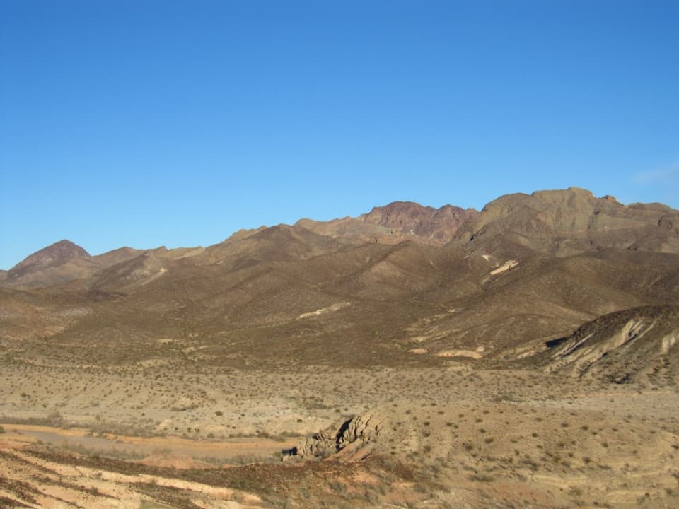
Callville Ridge Trail is a 4.74-mile out-and-back from Callville Bay Road to three high points, then back to the same access. This is open cross-country hiking over rough rock, not a constructed or signed path. The first climb is steep; most of the ascent comes in the first half mile, then the broad ridge rolls east. Give yourself about four hours; that is a planning estimate for the rocky, pathless ground, since no typical time is published. The map connects seven GPS waypoints as a simplified corridor, so expect the real walking line to wander between them.

The ridge and its three summitsThe first top is broad, rounded Peak 662, with open views across Callville Bay and the Boulder…

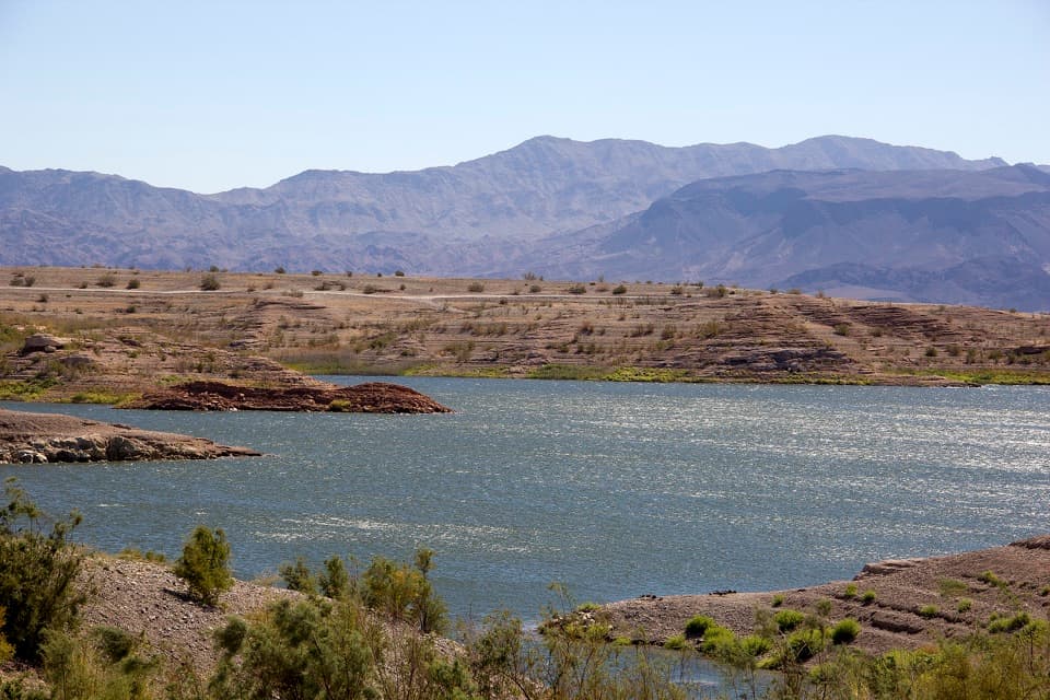
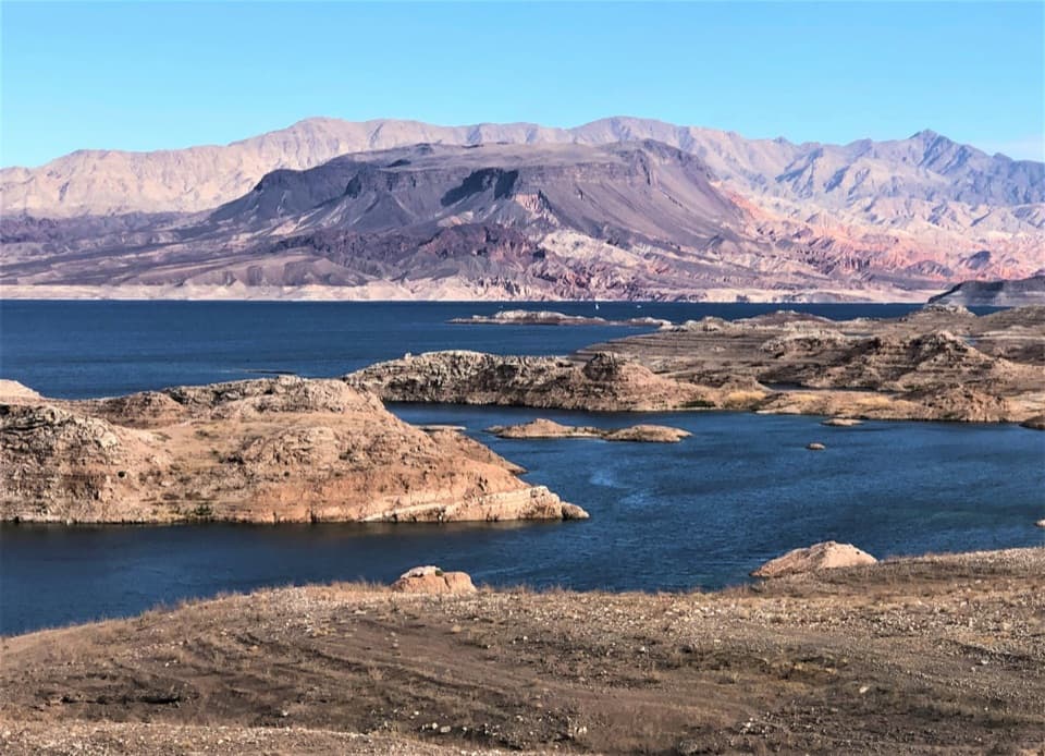
The first top is broad, rounded Peak 662, with open views across Callville Bay and the Boulder Basin. Creosote and white bursage cover the ridge, with beavertail and cottontop cactus among them; the beavertail can color the hills in late spring. Peak 662 East is a boulder pile. Climbing directly to its top is a short, minimal Class 3 scramble; the route can be walked around if you prefer to avoid the hands-on section.

The recovery road and Peak 653From Peak 662 East, the route drops north and northeast to a saddle, joins an old road, then…

From Peak 662 East, the route drops north and northeast to a saddle, joins an old road, then turns southeast and climbs back onto the ridge. The road was built to recover debris from a 1950s F-100 crash. Scattered pieces remain, including landing gear and equipment; leave the wreckage where it lies. Peak 653 is rocky and cliff-edged on two sides, with wide views. On the return, look west along the ridge toward Black Mesa and keep some of the rough foreground in the frame.

Start, access and heatPark at the wide paved pullout on Callville Bay Road, about 0.

Park at the wide paved pullout on Callville Bay Road, about 0.3 mile south of its Northshore Road junction. The route starts across the road, roughly 100 yards up the pavement. A Lake Mead recreation-use pass is required to enter the area; no water or toilets were confirmed at this pullout, so carry what you need. The National Park Service allows pets on hiking trails on a leash no longer than six feet. This exposed desert walk has little shelter from heat; carry plenty of water and avoid hot conditions.

Wildlife

Wildlife in Lake Mead

All Lake Mead wildlife maps

Sighting maps show where each species has been reported across Lake Mead. Wildlife moves, so no sighting is guaranteed.

Keep exploring

Near Callville Ridge Trail

See it all on the map

Trails that start nearby

Places near the trailhead

Parkwolf’s Lake Mead ranking

Top-rated trails in Lake Mead

All 42 trails
  1. 1Historic Railroad TrailEasy · 7.5 mi
  2. 2Anniversary Narrows TrailModerate · 5.8 mi
  3. 3Liberty Bell Arch TrailChallenging · 5.5 mi
  4. 4Arizona Hot Spring TrailChallenging · 5 mi
  5. 5Owl Canyon TrailModerate · 2.2 mi
  6. 6Fortification Hill TrailChallenging · 4 mi

Take Parkwolf to Lake Mead.

The audio tour guide for the drive, plus offline maps, trails, and wildlife heatmaps for when the signal drops.

4.7 from 8,600+ ratings

Download Parkwolf on the App StoreGet Parkwolf on Google Play