Parking
Use the pullout on the north side of Northshore Road, 10.5 road miles north of the Lakeshore Road junction (about half a mile beyond mile marker 10). This is a roadside access point, not a developed trailhead.

Lake Mead National Recreation Area, AZ · NV
A cross-country climb to Black Mesa's broad summit above Lake Mead.
Overview
Map & elevation
Plan your hike

The highest, rockiest slopes around here are a summer buffet for grizzly bears.
Lake Mead Tour Guide
Parkwolf is a GPS audio tour guide for Lake Mead National Recreation Area. As you drive, it chimes in with what’s ahead: hidden gems, upcoming stops, history, geology, and wildlife, right through your car’s speakers.
See the Lake Mead audio tourRecorded for this trailhead
Black Mesa: A Cross-Country Summit Hike“You're coming up on the Northshore Road pullout for Black Mesa, a hike to wide lake-and-mountain views. Allow three to four hours for roughly three point nine miles out and back.”
Plays as you drive up to this trailhead in the Parkwolf Lake Mead Tour Guide.
More stories near here in the app
“Fantastic app with many points of information… It’s great to just turn on while you’re driving and it gives you an audio tour of the national Park. We love it!!!!”


Trail guide
Black Mesa Trail is an unmarked, cross-country out-and-back to the broad top of Black Mesa, starting at the Northshore Road Mile 10.5 pullout. The north approach and return cover about 3.9 miles round trip; the mapped line shows the outward route once. Allow about three to four hours, even though the mileage sounds modest. This isn't a maintained trail with a clear tread, so go only if you're comfortable navigating open desert and rocky washes. Returning the way you came avoids the separate loop's steep west-ridge descent.
From the pullout, head southeast across desert pavement toward low bluffs, then drop to the meeting of two broad washes. Follow the wash east along the mesa's north side. At the first side wash coming in from the south, turn into a narrower canyon cut through red mudstone. The wash is rough underfoot, with large rocks and small boulders; it eventually climbs to the edge of a deep gully. Stay on the ridge; don't descend into the gully. From there, climb southwest up the steep ridge onto the mesa. There are no signs or tread markers, so bring the route line offline and be ready to navigate by terrain.
This is a mixed walk: a short dip to the drainage, easier walking in the broad wash, boulder-strewn scrambling in the canyon, then a steep rocky climb onto the ridge and mesa. The exposed climb is Class 2, where you may use a hand for balance; trekking poles can help on the loose slopes. Once on top, the mesa is broad and nearly flat. Continue to the summit a few yards west of Benchmark La Mesa, then retrace the same route. A separate roughly four-mile loop descends the west ridge and returns by a broad wash; that harder descent is not part of the route saved here.
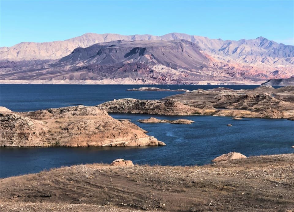
The narrow canyon cuts through red mudstone veined with pale gypsum, and the mesa's dark desert varnish gives Black Mesa its name. Look for animal tracks in the sandy wash; coyotes and desert bighorn use it, though signs are more likely than a guaranteed sighting. From the summit, Lake Mead and Black Canyon sit below a wide sweep of mountain ranges. Keep a strip of the rocky mesa edge in a south-facing photo so the lake's depth reads against the foreground.
Park at the pullout on the north side of Northshore Road, 10.5 road miles from the Lakeshore Road junction and about half a mile past mile marker 10. The access descriptions identify a roadside pullout rather than a developed trailhead, and list no facilities. Pets are allowed on hiking trails in the recreation area; keep them on a leash no longer than six feet (1.8 meters).
Wildlife
 525 sightingsBighorn SheepMost seen around 5 PMSighting map
 116 sightingsBurroMost seen around 7 PMSighting map
 18 sightingsBald EagleMost seen around 4 PMSighting map
 99 sightingsWhite PelicanMost seen around 7 AMSighting map
 145 sightingsGreat Blue HeronMost seen around 7 AMSighting map
 106 sightingsTurkey VultureMost seen around noonSighting map
Sighting maps show where each species has been reported across Lake Mead. Wildlife moves, so no sighting is guaranteed.
Keep exploring
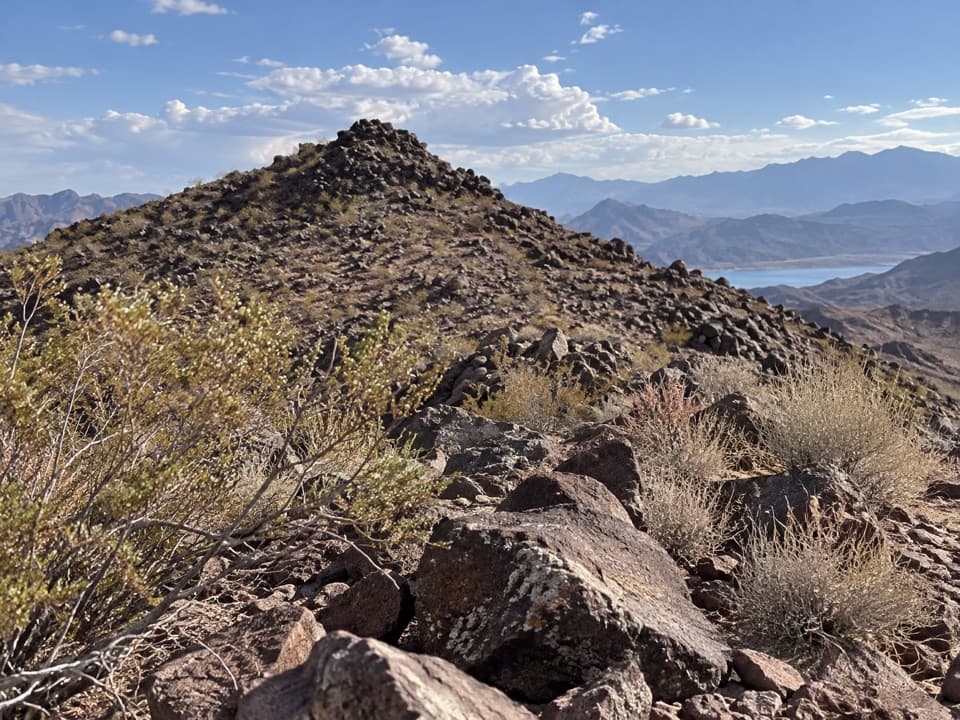 ModerateCallville Ridge Trail4.7 mi · 4 hr · 0.7 mi awayA pathless ridge to three summits and 1950s jet wreckage.
 ModerateAnniversary Narrows Trail5.8 mi · 3.5 hr · 5.2 mi awayA twisting, colorful slot canyon on a sun-baked 5.8-mile loop.
 ChallengingAnniversary Peak Trail9.9 mi · 7 hr · 5.2 mi awaySculpted narrows give way to a long, exposed summit ridge
 ModerateOwl Canyon Trail2.2 mi · 2 hr · 5.8 mi awayA steep descent to sculpted narrows and two road crossings.
 EasySunset View Trail0.6 mi · 24 min · 5.9 mi awayA short loop with broad views over Lake Mead's Boulder Basin.
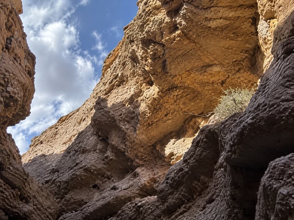 ModerateShoreline & White Owl Canyon Loop6.5 mi · 3.5 hr · 6.1 mi awayA rough loop of lakebed shore, gravel washes, and slot canyons.
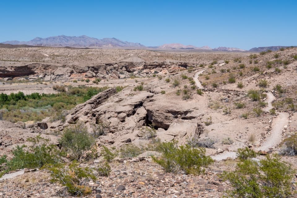 ModerateBluffs Trail2.7 mi · 2 hr · 6.3 mi awayGreen wash views and eroded bluffs just above the campground.
 EasyLas Vegas Bay Shoreline Trail3.4 mi · 1.8 hr · 6.4 mi awayWalk a rock-lined path along the bay's former shore.
 Campground · 3.5 mi awayCallville Bay RV ParkFive full-hookup spaces in a marina's tiny RV village.
 Picnic area · 3.5 mi awayCallville Bay Picnic AreaEight shaded tables, grills and drinking water make lunch easy.
 Campground · 3.6 mi awayCallville Bay CampgroundA quiet desert camp base with a marina and food nearby.
 Sight · 4.5 mi awayCallville Bay MarinaBoat rentals open a day on the lake beneath red-rock cliffs.
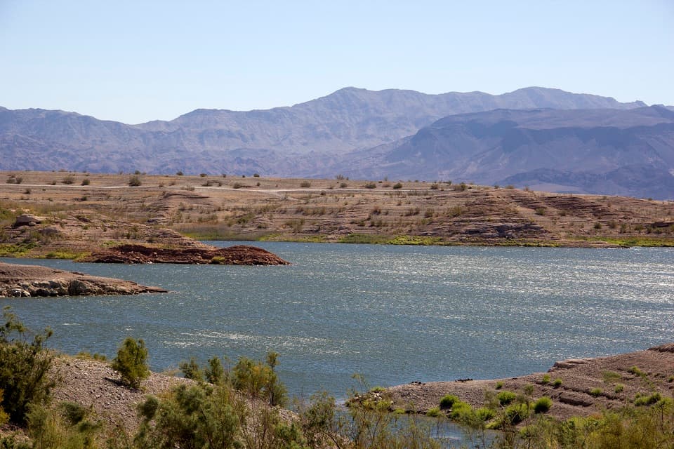 Campground · 4.5 mi awayGovernment Wash Campground and Day Use AreaCamping with small-craft lake access and no utility hookups
 Picnic area · 5.6 mi away33 Hole Scenic OverlookPicnic above Las Vegas Bay, with Owl Canyon starting nearby.
 Scenic pullout · 5.9 mi awaySunset View Scenic OverlookA quick Lakeshore Road stop for a wide Lake Mead panorama.
 Campground · 6.3 mi awayLas Vegas Bay CampgroundShaded sites and a bluff trail above Las Vegas Wash.
Parkwolf’s Lake Mead ranking

The audio tour guide for the drive, plus offline maps, trails, and wildlife heatmaps for when the signal drops.



