Manzanita Creek Trail in Lassen Volcanic National Park

Lassen Volcanic National Park, CA

Manzanita Creek Trail

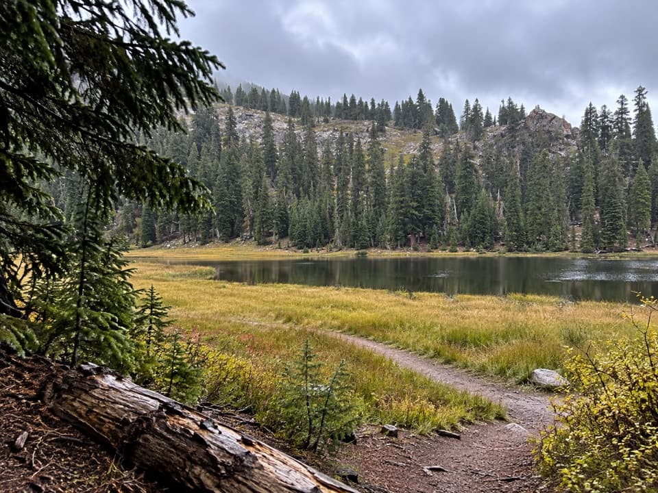
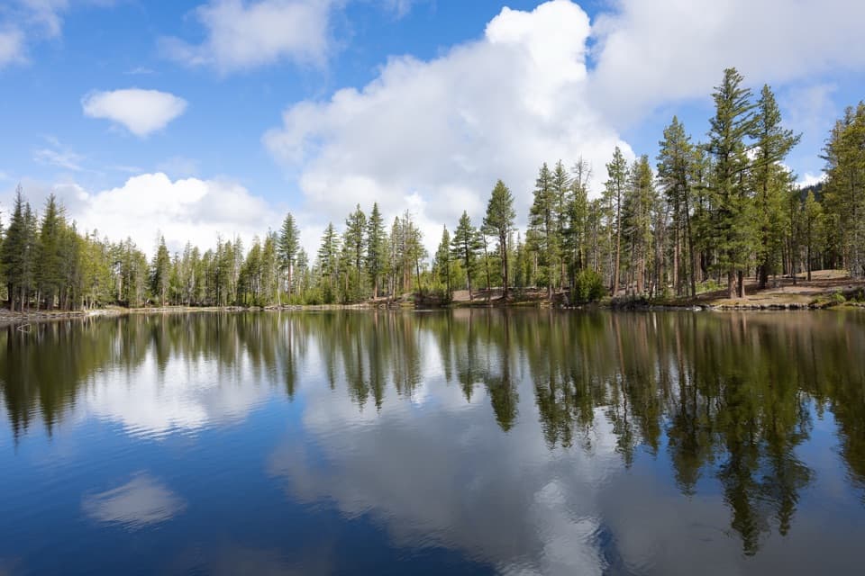
A forest creek climb to a marshy meadow beneath Loomis Peak.

Length
7mi
Time
4hr
Elev. change
1,201ft
Difficulty
Moderate
  • No dogs
  • High point 7,146 ft

Hear the audio tour

Manzanita Creek: Forest and a Flowering Meadow

Overview

About Manzanita Creek Trail

Why go

  • A shaded creek climb opens into a broad, flower-filled meadow.
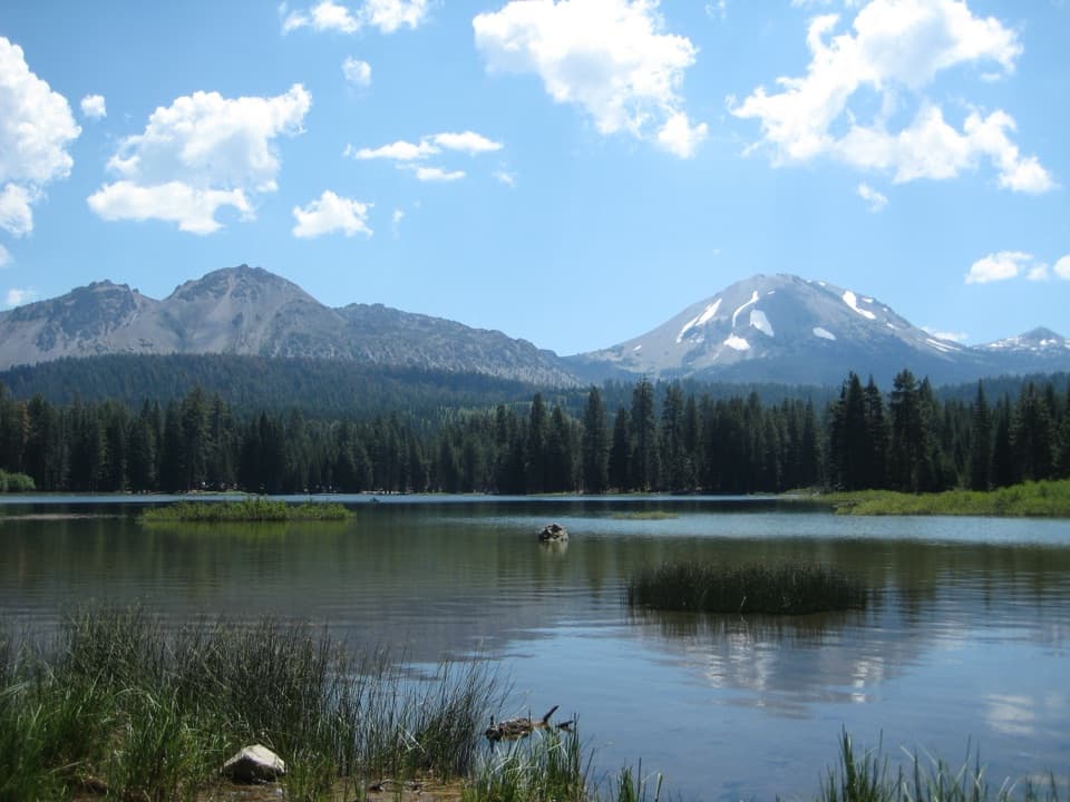
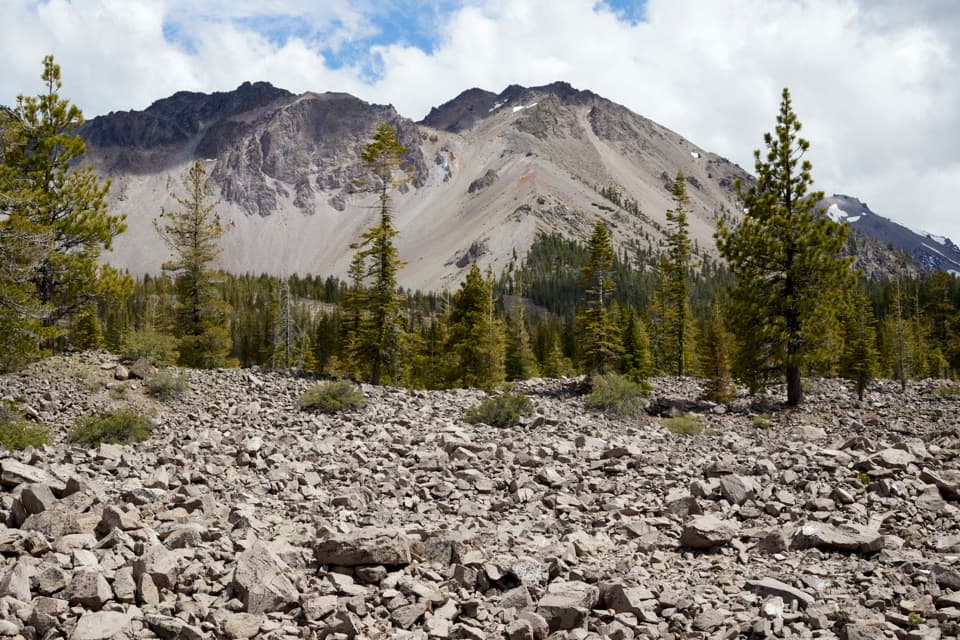
  • Views of Chaos Crags, Lassen Peak and Loomis Peak along the way.

Heads up

  • Seven miles and roughly 1,200 feet of cumulative ascent take a half day.
  • The final meadow is marshy, with faint paths around its edges.

Map & elevation

The route

Loading the Lassen Volcanic map
Full map
Elevation5,945–7,146 ft
TrailheadManzanita Creek Trailhead, Manzanita Lake Campground D-Loop40.52701, -121.56141
Keep this map with you offline in the Parkwolf app

Plan your hike

Before you go

Parking

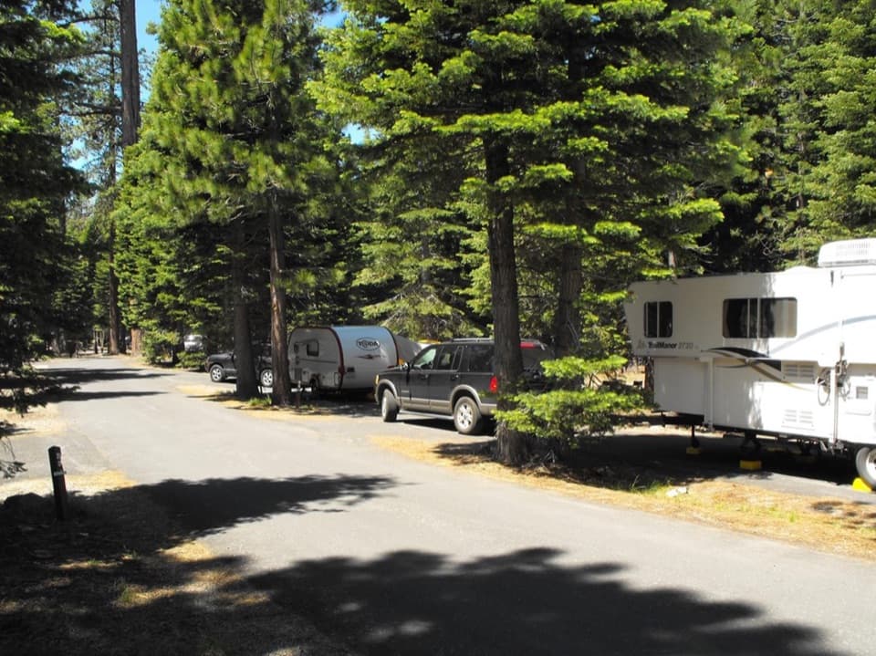
The summer trailhead is in Manzanita Lake Campground’s D Loop, about a mile from Loomis Plaza. Older directions to Loop F/site 31 conflict; confirm the D-Loop access on the current campground map. Trailhead parking capacity is not clearly documented.

Best time to go

The summer trailhead is in the campground's D Loop, about a mile from Loomis Plaza. Older directions point to Loop F/site 31, so confirm the D-Loop access on the current campground map. Snow can linger into June or July; the general hiking season is May through October. Day hiking requires no wilderness permit, but backcountry camping does. Dogs are not allowed on park hiking trails.

Safety

The upper meadow is marshy and the main route becomes less distinct among faint paths; stay on the established tread and turn around at the main meadow.

1 active Lassen Volcanic alert

  • ClosureJuniper Lake campground and day-use area closedJuniper Lake Campground and day-use area are closed for maintenance and campground-improvement projects. - Potable water is unavailable in the campground.Official details
Lassen Volcanic alerts
A park ranger sits on a dash-mounted phone, talking, as Parkwolf’s Tour Guide plays “Army Cutworm Moths: A Grizzly Bear Buffet” on Grand Loop Road below Dunraven Pass in Yellowstone
Parkwolf Tour GuideThe highest, rockiest slopes around here are a summer buffet for grizzly bears.

Lassen Volcanic Tour Guide

Your drive to Manzanita Creek Trail, narrated.

Parkwolf is a GPS audio tour guide for Lassen Volcanic National Park. As you drive, it chimes in with what’s ahead: hidden gems, upcoming stops, history, geology, and wildlife, right through your car’s speakers.

See the Lassen Volcanic audio tour

Recorded for this trailhead

Manzanita Creek: Forest and a Flowering Meadow
0:00 / 0:21
“Manzanita Creek trailhead is ahead, for a forest climb to a marshy meadow beneath Loomis Peak. I'd choose it if you want a half-day walk along a creek, with mid-to-late-summer flowers in the wet meadow.”

Plays as you drive up to this trailhead in the Parkwolf Lassen Volcanic Tour Guide.

More stories near here in the app

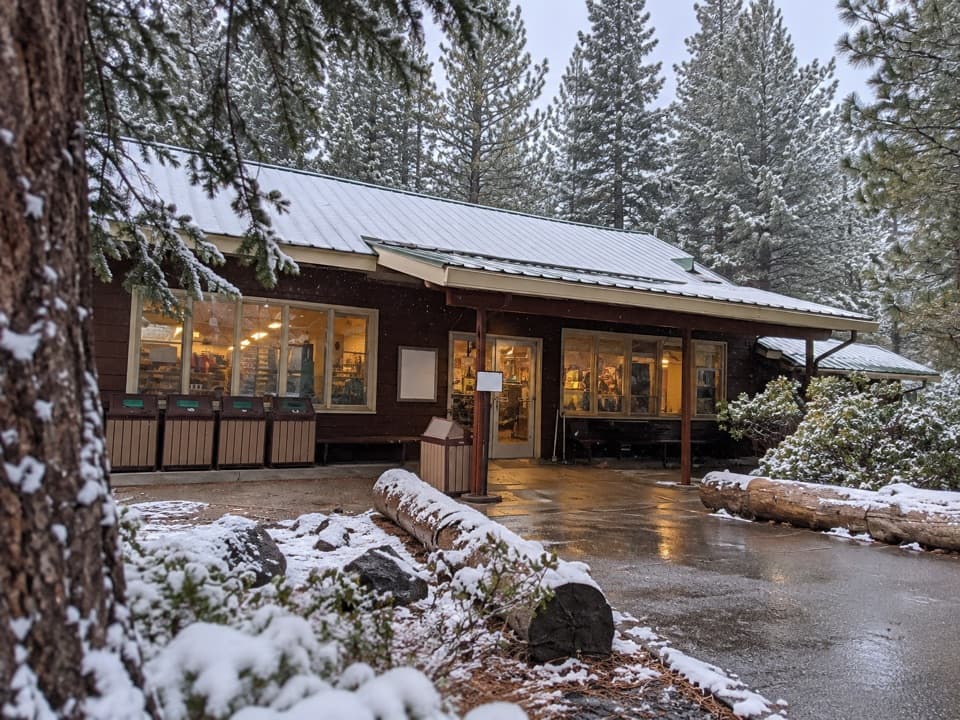
  • Manzanita Lake and the Camper Store
  • Crags Lake: Cliffs Above a Seasonal Lake
  • Loomis Museum and Reflection Lake
  • Chaos Crags Viewpoint and the Rock Avalanches
  • 45 audio storiesacross Lassen Volcanic’s roads, triggered by GPS as you drive
  • Wildlife heatmapsfor Black Bear, Bald Eagle, Mule Deer, and 13 more
  • Works offlinemaps, 59 trails, 56 places, and audio download before you lose signal
  • CarPlay readysimple controls built for the drive
★★★★★
“Fantastic app with many points of information… It’s great to just turn on while you’re driving and it gives you an audio tour of the national Park. We love it!!!!”
JMJamesApp Store review
Download Parkwolf on the App StoreGet Parkwolf on Google Play

4.7 from 8,600+ ratings

Trail guide

Hiking Manzanita Creek Trail

The walkManzanita Creek Trail is a 7-mile out-and-back from the Manzanita Lake Campground D-Loop access…

Manzanita Creek Trail is a 7-mile out-and-back from the Manzanita Lake Campground D-Loop access to a marshy meadow along the upper creek. The mapped corridor is 3.46 miles one way; route descriptions give round trips from 6.6 to 7.4 miles, so plan around 7 miles and roughly four hours. The climb builds through forest to the meadow, then returns on the same tread. For a shorter outing nearby, the 1.8-mile Manzanita Lake Loop circles the lake rather than following the creek.

The forest climbThe trail starts on sandy tread among greenleaf manzanita, Jeffrey pine and white fir.

The trail starts on sandy tread among greenleaf manzanita, Jeffrey pine and white fir. Openings frame Chaos Crags and Lassen Peak through the trees. Red fir and staghorn lichen appear in the first mile; around mile 1 the path briefly levels before a steeper rise and then an easier climb. Much of the approach is shaded, with the volcano views opening and closing as you walk.

The creek crossingAt about two miles, a footbridge crosses Manzanita Creek.

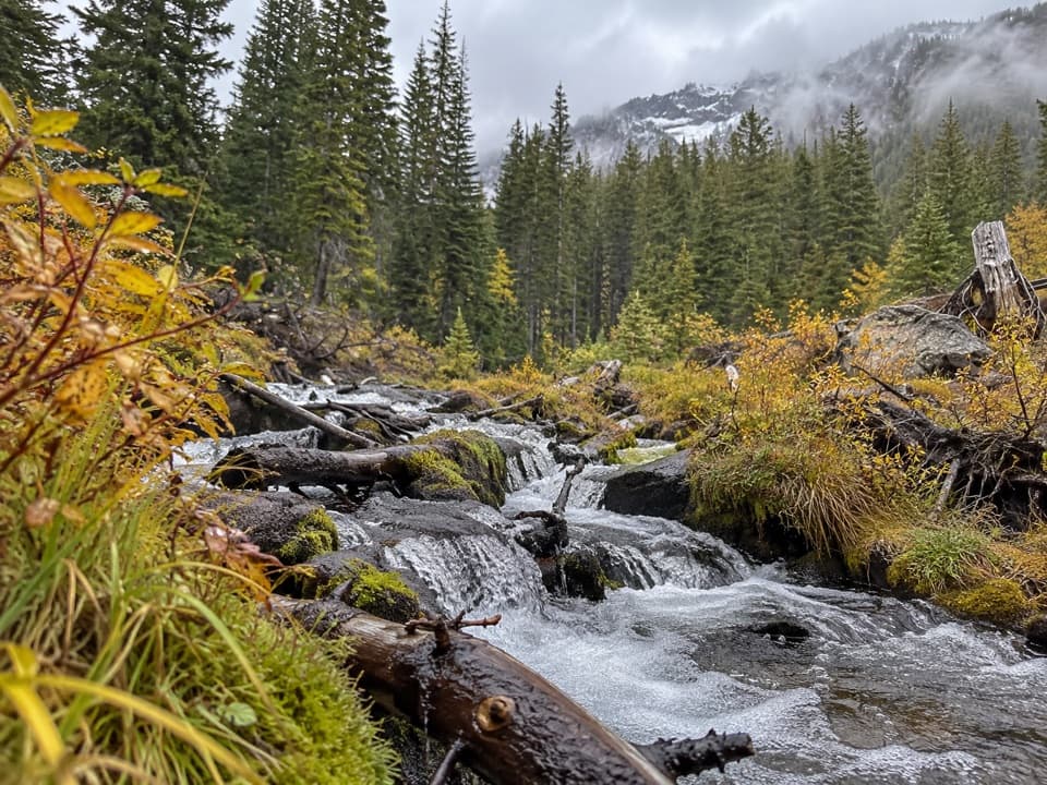
At about two miles, a footbridge crosses Manzanita Creek. Look down at the water and along the banks for mountain alder and flowering plants. Beyond the bridge, the path runs through red fir forest with occasional level clearings. Around mile 2.4, Loomis Peak comes into view, its serrated crest and bands of colored cliffs rising above the creek corridor.

The upper meadowA smaller open meadow appears around mile 2.

A smaller open meadow appears around mile 2.8, with a little stream; about half a mile farther, the trail reaches a broader, marshy meadow. In mid to late summer the wet ground is bright with flowers, and the view opens toward Loomis Peak, surrounding ridges and Thousand Lakes Wilderness. The route ends here: small faint tracks spread around the meadow, so make the main open area your turnaround instead of following side paths.

Wildlife

Wildlife in Lassen Volcanic

All Lassen Volcanic wildlife maps

Sighting maps show where each species has been reported across Lassen Volcanic. Wildlife moves, so no sighting is guaranteed.

Keep exploring

Near Manzanita Creek Trail

See it all on the map

Trails that start nearby

Places near the trailhead

Parkwolf’s Lassen Volcanic ranking

Top-rated trails in Lassen Volcanic

All 59 trails
  1. 1Lassen Peak TrailChallenging · 5 mi
  2. 2Cinder Cone TrailChallenging · 4 mi
  3. 3Bumpass Hell TrailModerate · 3 mi
  4. 4Brokeoff Mountain TrailChallenging · 7.4 mi
  5. 5Kings Creek Falls TrailModerate · 2.8 mi
  6. 6Manzanita Lake LoopEasy · 1.8 mi

Take Parkwolf to Lassen Volcanic.

The audio tour guide for the drive, plus offline maps, trails, and wildlife heatmaps for when the signal drops.

4.7 from 8,600+ ratings

Download Parkwolf on the App StoreGet Parkwolf on Google Play