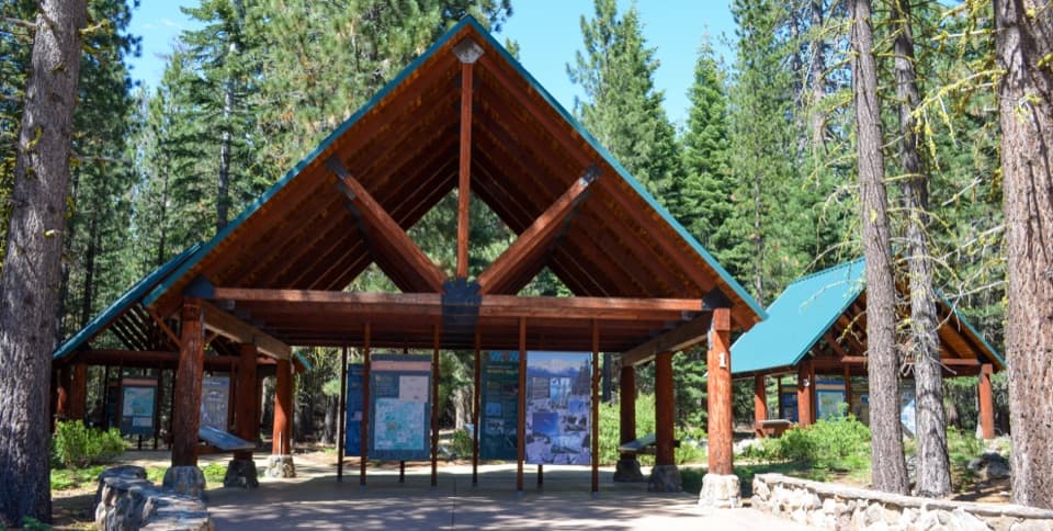
Reflection Lake Loop in Lassen Volcanic National Park

Lassen Volcanic National Park, CA

Reflection Lake Loop

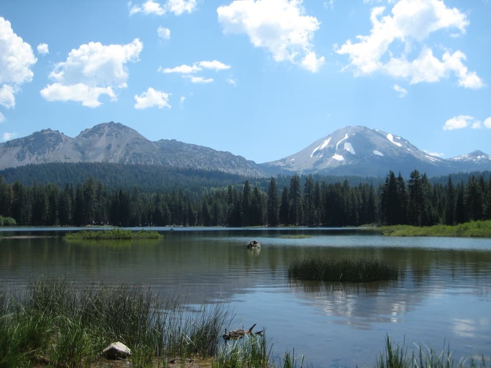
An easy loop for Lassen Peak reflected in the lake.

Photo: Wikimedia Commons
Length
0.6mi
Time
30min
Elev. change
39ft
Difficulty
Easy
  • Loop
  • No dogs
  • High point 5,935 ft
  • #16 of 59 in Lassen Volcanic

Hear the audio tour

Loomis Museum and Reflection Lake

Overview

About Reflection Lake Loop

Why go

  • A short circuit with Lassen Peak and Chaos Crags reflected in the lake
  • Mostly level route with a worthwhile view

Heads up

  • Roots, rock and narrow spots make it unsuitable for strollers and wheelchairs
  • Loomis Plaza parking often fills in summer

Map & elevation

The route

Loading the Lassen Volcanic map
Full map
Elevation5,896–5,935 ft
TrailheadLily Pond/Reflection Lake Trailhead40.53652, -121.56308
Keep this map with you offline in the Parkwolf app

Plan your hike

Before you go

Parking

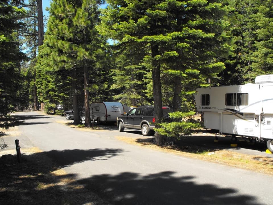
Start at the Lily Pond/Reflection Lake Trailhead across the park highway from Loomis Museum. Park at Loomis Plaza; it often fills in summer. Manzanita Lake Day Use Area is an alternative, connected to Loomis Plaza by a short stretch of Manzanita Lake Trail.

Best time to go

Start at the Lily Pond/Reflection Lake Trailhead across the park highway from Loomis Museum. Loomis Plaza is the closest parking and often fills in summer. Manzanita Lake Day Use Area is an alternative, connected to Loomis Plaza by a short stretch of Manzanita Lake Trail. Pets and bikes are not allowed on park trails. There is no separate trail fee or reservation, but park entry requires a fee or valid pass. Snow can linger into April; the route is typically snow-free from May through October.

Safety

Dirt, exposed roots and rock, narrow sections, and one short shallow wet crossing in spring and early summer. Strollers and wheelchairs are not recommended.

1 active Lassen Volcanic alert

  • ClosureJuniper Lake campground and day-use area closedJuniper Lake Campground and day-use area are closed for maintenance and campground-improvement projects. - Potable water is unavailable in the campground.Official details
Lassen Volcanic alerts
A park ranger sits on a dash-mounted phone, talking, as Parkwolf’s Tour Guide plays “Army Cutworm Moths: A Grizzly Bear Buffet” on Grand Loop Road below Dunraven Pass in Yellowstone
Parkwolf Tour GuideThe highest, rockiest slopes around here are a summer buffet for grizzly bears.

Lassen Volcanic Tour Guide

Your drive to Reflection Lake Loop, narrated.

Parkwolf is a GPS audio tour guide for Lassen Volcanic National Park. As you drive, it chimes in with what’s ahead: hidden gems, upcoming stops, history, geology, and wildlife, right through your car’s speakers.

See the Lassen Volcanic audio tour

Recorded for this trailhead

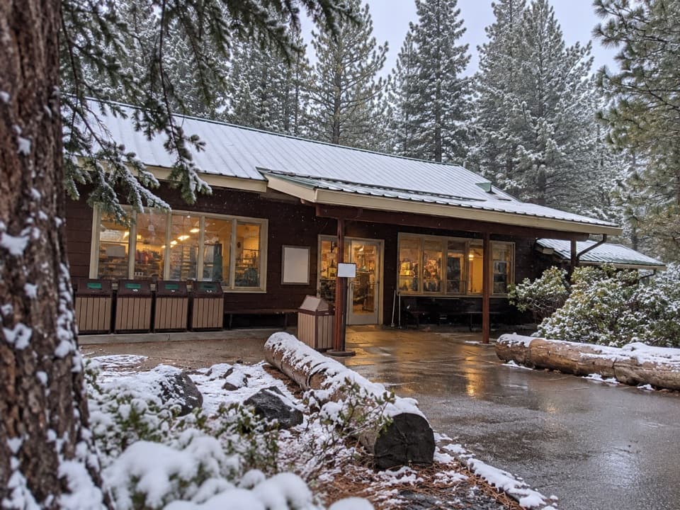
Loomis Museum and Reflection Lake
0:00 / 0:34
“Loomis Museum is coming up, a small stone museum that's worth a stop if you want the human story behind the volcano. Look for B. F.”

Plays as you drive up to this trailhead in the Parkwolf Lassen Volcanic Tour Guide.

More stories near here in the app

  • Crags Lake: Cliffs Above a Seasonal Lake
  • Manzanita Lake and the Camper Store
  • Manzanita Creek: Forest and a Flowering Meadow
  • Lassen Crossroads: Exhibits and a Meeting Place
  • 45 audio storiesacross Lassen Volcanic’s roads, triggered by GPS as you drive
  • Wildlife heatmapsfor Black Bear, Bald Eagle, Mule Deer, and 13 more
  • Works offlinemaps, 59 trails, 56 places, and audio download before you lose signal
  • CarPlay readysimple controls built for the drive
★★★★★
“Fantastic app with many points of information… It’s great to just turn on while you’re driving and it gives you an audio tour of the national Park. We love it!!!!”
JMJamesApp Store review
Download Parkwolf on the App StoreGet Parkwolf on Google Play

4.7 from 8,600+ ratings

Trail guide

Hiking Reflection Lake Loop

A short shoreline loopReflection Lake Loop is an easy 0.

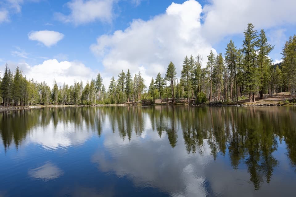
Reflection Lake Loop is an easy 0.6-mile circuit around Reflection Lake in the Manzanita Lake area. The National Park Service lists it as a half-mile; the verified mapped path measures 0.62 miles, so this record rounds the route to 0.6. Allow about 15 to 30 minutes. The north and west shores open to Chaos Crags and Lassen Peak, often mirrored in the water. This is a quick, worthwhile leg-stretcher when you want the view without a longer hike.

Take your time on the west shoreThe clearest look toward Chaos Crags and Lassen Peak opens from the western shore, with another…

The clearest look toward Chaos Crags and Lassen Peak opens from the western shore, with another good view on the north side. When the water is still, leave room in the frame for the reflection as well as the peaks; that is the reason to walk around instead of treating this as only a roadside stop.

Easy grade, uneven footingMost of the walk is flat, with a few small hills and narrow sections.

Most of the walk is flat, with a few small hills and narrow sections. Expect dirt, exposed roots and rock, with spots that can be soft or wet. A short, shallow wet crossing can show up in spring and early summer. The route is not a good fit for strollers or wheelchairs.

From Mud Lake to Reflection LakeThe lake was once called Mud Lake, when its water sat lower and it looked more like a pond.

The lake was once called Mud Lake, when its water sat lower and it looked more like a pond. In the late 1800s, a channel brought water from Manzanita Creek into the lake; trout were stocked, and fishing access was once sold by the landowner. Benjamin Franklin Loomis bought the 40 acres around the lake in 1926 and photographed Lassen Peak's eruptions here between 1914 and 1945. He and Estella Loomis donated the land, Loomis Museum and nearby seismograph building to the park in 1929.

Watch the water for birdsNative tui chub live in the warmer lake water.

Native tui chub live in the warmer lake water. Fish stocking ended in the early 1990s as the park worked to preserve natural riparian ecosystems. Canada geese, great blue herons, snowy egrets and kingfishers are among the birds drawn to the lake; coots and mallards are often on the water too.

Wildlife

Wildlife in Lassen Volcanic

All Lassen Volcanic wildlife maps

Sighting maps show where each species has been reported across Lassen Volcanic. Wildlife moves, so no sighting is guaranteed.

Keep exploring

Near Reflection Lake Loop

See it all on the map

Trails that start nearby

Places near the trailhead

Parkwolf’s Lassen Volcanic ranking

Top-rated trails in Lassen Volcanic

All 59 trails
  1. 1Lassen Peak TrailChallenging · 5 mi
  2. 2Cinder Cone TrailChallenging · 4 mi
  3. 3Bumpass Hell TrailModerate · 3 mi
  4. 4Brokeoff Mountain TrailChallenging · 7.4 mi
  5. 5Kings Creek Falls TrailModerate · 2.8 mi
  6. 6Manzanita Lake LoopEasy · 1.8 mi

Take Parkwolf to Lassen Volcanic.

The audio tour guide for the drive, plus offline maps, trails, and wildlife heatmaps for when the signal drops.

4.7 from 8,600+ ratings

Download Parkwolf on the App StoreGet Parkwolf on Google Play