Parking
Use Loomis Plaza across the park highway from the Lily Pond Trailhead; it often fills in summer. Manzanita Lake Day Use Area has additional parking and connects by a short walk on Manzanita Lake Trail.

Lassen Volcanic National Park, CA
An easy, interpretive loop through pond, meadow and volcanic forest.
Overview
Map & elevation
Plan your hike

The highest, rockiest slopes around here are a summer buffet for grizzly bears.
Lassen Volcanic Tour Guide
Parkwolf is a GPS audio tour guide for Lassen Volcanic National Park. As you drive, it chimes in with what’s ahead: hidden gems, upcoming stops, history, geology, and wildlife, right through your car’s speakers.
See the Lassen Volcanic audio tourRecorded for this trailhead
Loomis Museum and Reflection Lake“Loomis Museum is coming up, a small stone museum that's worth a stop if you want the human story behind the volcano. Look for B. F.”
Plays as you drive up to this trailhead in the Parkwolf Lassen Volcanic Tour Guide.
More stories near here in the app
“Fantastic app with many points of information… It’s great to just turn on while you’re driving and it gives you an audio tour of the national Park. We love it!!!!”


Trail guide
The Lily Pond Interpretive Trail is an easy loop near Manzanita Lake. The full connected walk is about 0.8 miles, starting across the park highway from Loomis Museum and using a short section of the Reflection Lake path before reaching Lily Pond. The current park listing says half a mile; the complete mapped loop is longer, so GPS and printed mileage may differ. Plan about an hour if you stop at the numbered nature markers.
The route reaches the pond’s north side; it isn’t a full shoreline path. Yellow pond-lily flowers are most likely in early summer, and duckweed can spread over the water later in summer. The wet edge supports aquatic insects, frogs, garter snakes and water birds among the willows and alders. If the lilies are blooming, the north-side view gives you the trail’s best close-up.
Numbered stops follow the change from wet shore to forest and volcanic rubble. Lily Pond lies in a depression in Chaos Jumbles, a rock-avalanche deposit below Chaos Crags. Volcanic sediment builds a sandy delta where rushes and sedges grow. Reflection Lake was once called Mud Lake; in the 1880s, William H. Coffey and John E. Stockton diverted part of Manzanita Creek into it. Three rock avalanches occurred in rapid succession about 300 years ago; their exact cause is unknown.
Park at Loomis Plaza, across the highway from the trailhead; it often fills in summer. Manzanita Lake Day Use Area has additional parking and connects by a short walk on Manzanita Lake Trail. There’s no trail fee or reservation, though park entry requires a pass or fee. Pets aren’t allowed on park trails.
Wildlife
 103 sightingsBlack BearMost seen around 7 PMSighting map
 44 sightingsBald EagleMost seen around 7 AMSighting map
 348 sightingsMule DeerMost seen around 7 PMSighting map
 17 sightingsSandhill CraneMost seen around 6 AMSighting map
 47 sightingsGreat Blue HeronMost seen around 7 AMSighting map
 12 sightingsGreat EgretMost seen around 7 AMSighting map
Sighting maps show where each species has been reported across Lassen Volcanic. Wildlife moves, so no sighting is guaranteed.
Keep exploring
 EasyReflection Lake Loop0.6 mi · 30 min · 0.1 mi awayAn easy loop for Lassen Peak reflected in the lake.
 ModerateCrags Lake Trail4 mi · 2.5 hr · 0.1 mi awayRocky Chaos Jumbles give way to a high view of Crags Lake.
 EasyManzanita Lake Loop1.8 mi · 1 hr · 0.4 mi awayLassen Peak and Chaos Crags can double in still lake water.
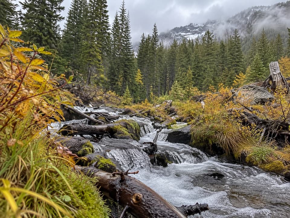 ModerateManzanita Creek Trail7 mi · 4 hr · 0.7 mi awayA forest creek climb to a marshy meadow beneath Loomis Peak.
 ChallengingLassen Peak Trail5 mi · 4.5 hr · 5.2 mi awayCinder slopes and ridge switchbacks reach a volcanic summit.
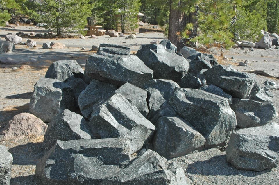 EasyDevastated Area Interpretive Trail0.3 mi · 20 min · 5.3 mi awayA quick accessible loop among the rocks left by Lassen's 1915 eruption.
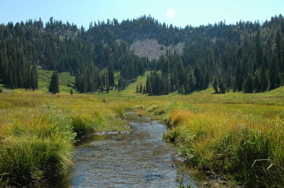 ModerateHat Lake to Paradise Meadows Trail2.8 mi · 2 hr · 5.4 mi awayA shaded creek climb to a meadow beneath Lassen’s rocky cliffs.ChallengingHat Creek Headwaters Trail6.1 mi · 5 hr · 5.4 mi awayA shuttle hike from creekside falls to meadow and lake country.
 Sight · 0.1 mi awayLoomis MuseumA compact museum built around photos of Lassen Peak’s 1914 eruption.
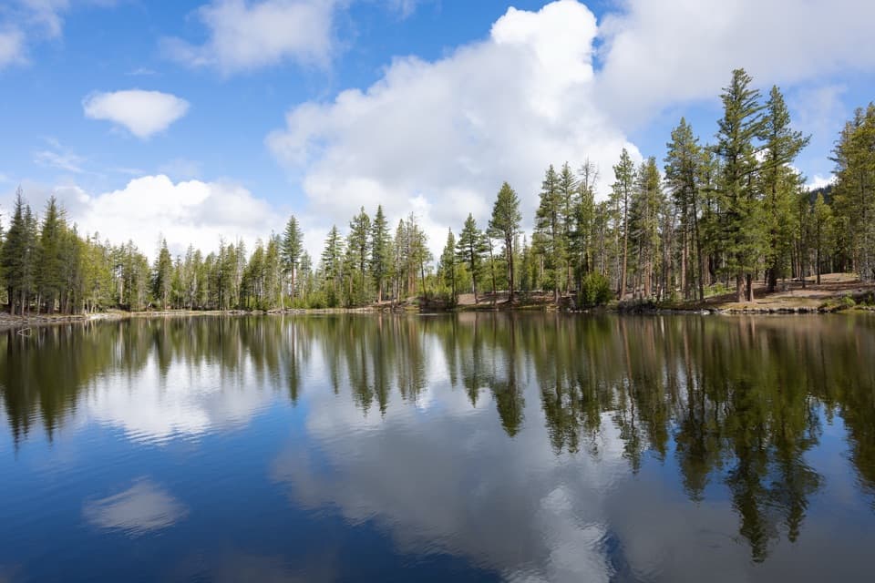 Sight · 0.2 mi awayReflection LakeLassen Peak and Chaos Crags double in a calm lake.
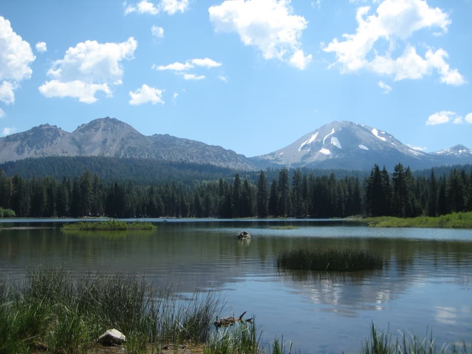 Sight · 0.4 mi awayManzanita LakeA shore loop with Lassen Peak reflected in the water.
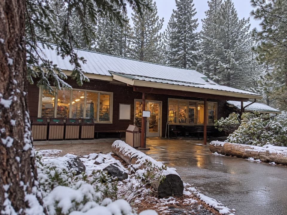 Store · 0.4 mi awayManzanita Lake Camper StoreFood, camper basics, showers and rentals at the Manzanita Lake campground.
 Lodging · 0.5 mi awayManzanita Lake Camping CabinsWood cabins near Manzanita Lake, with a camping-style setup.
 Entrance station · 0.5 mi awayManzanita Lake Entrance StationPasses, maps and park information at Lassen's northwest entrance.
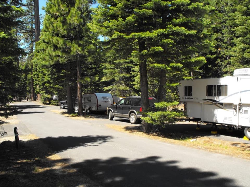 Campground · 0.6 mi awayManzanita Lake CampgroundA pine-shaded base with the lake and museum a short walk away.
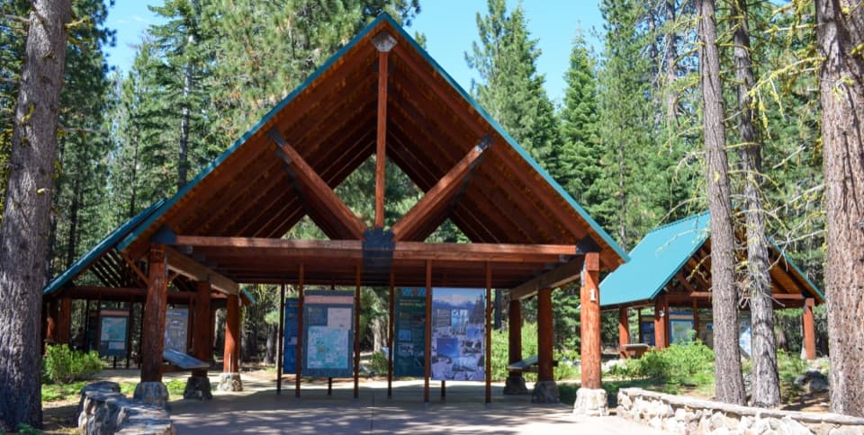 Sight · 1 mi awayLassen CrossroadsOpen-air exhibits and a short walk to the Northwest Entrance sign.
Parkwolf’s Lassen Volcanic ranking

The audio tour guide for the drive, plus offline maps, trails, and wildlife heatmaps for when the signal drops.



