Parking
Use the Kohm Yah-mah-nee Visitor Center/Southwest Area parking lot; the trail starts behind the adjacent amphitheater. Restrooms and a café are inside the visitor center. A park entrance pass is required.

#8 of 59 trails in Lassen Volcanic
Lassen Volcanic National Park, CA
A 75-foot waterfall rewards the repeated climbs.
Overview
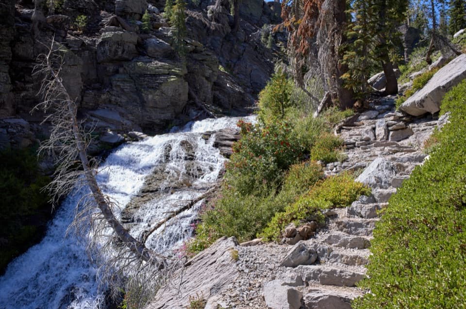
Mill Creek Falls is a 3.7-mile out-and-back from the Southwest Area parking lot to a viewpoint at Lassen’s highest waterfall. Plan on 2½ to 3 hours for a moderately strenuous walk through rolling gullies and open slopes; you reach the 75-foot falls where East Sulphur and Bumpass creeks meet. Choose it for a real half-day walk and a strong waterfall payoff, not a quick stroll to the water. The park’s dedicated trail page gives 3.8 miles, while its trail-conditions table lists 3.7, so treat the total as an estimate.
 Parkwolf’s verdictIs this hike for you?
Map & elevation
Plan your hike

The highest, rockiest slopes around here are a summer buffet for grizzly bears.
Lassen Volcanic Tour Guide
Parkwolf is a GPS audio tour guide for Lassen Volcanic National Park. As you drive, it chimes in with what’s ahead: hidden gems, upcoming stops, history, geology, and wildlife, right through your car’s speakers.
See the Lassen Volcanic audio tourRecorded for this trailhead
Kohm Yah-mah-nee Visitor Center and Café“You're nearing Kohm Yah-mah-nee Visitor Center, a useful stop for choosing hikes and getting a handle on the landscape. Start with the three-dimensional geology map, then ask the staff about trail and snow conditions.”
Plays as you drive up to this trailhead in the Parkwolf Lassen Volcanic Tour Guide.
More stories near here in the app
“Fantastic app with many points of information… It’s great to just turn on while you’re driving and it gives you an audio tour of the national Park. We love it!!!!”


Trail guide
Start behind the amphitheater beside the Kohm Yah-mah-nee Visitor Center. The path first descends to West Sulphur Creek, then crosses an open hillside before winding through gullies and the surviving forested stretches. It repeatedly dips and climbs along East Sulphur Creek’s contours rather than steadily gaining a summit. Narrow, rocky sections and creek crossings keep you watching your footing. The repeated rollers are what make the walk feel harder than the mileage suggests; on the way back, that first downhill becomes a final climb.
Much of the old forest burned in the 2021 Dixie Fire, opening views across the slopes but leaving standing dead trees that can fall without warning. The hillside is exposed to sun, and shade is limited through much of the walk. Bring enough water and avoid the hottest part of the day. Deep-tread shoes help on rocky ground, and trekking poles are useful on steeper, uneven sections. The short climbs keep adding up, even though there is no long summit push.
Mill Creek Falls drops 75 feet at the meeting of East Sulphur and Bumpass creeks. It is Lassen’s highest waterfall, but nearby hillsides and trees block some angles, so stay on the trail and look for a clear view from the falls area instead of trying to reach the water. For a photograph, include the wooden bridge and the rock ledge above the drop; they show the scale of the gorge. Beyond the falls, the path crosses the creeks, continues toward Crumbaugh Lake and eventually climbs steeply to Kings Creek Picnic Area. That is a longer point-to-point outing, not part of this falls out-and-back.
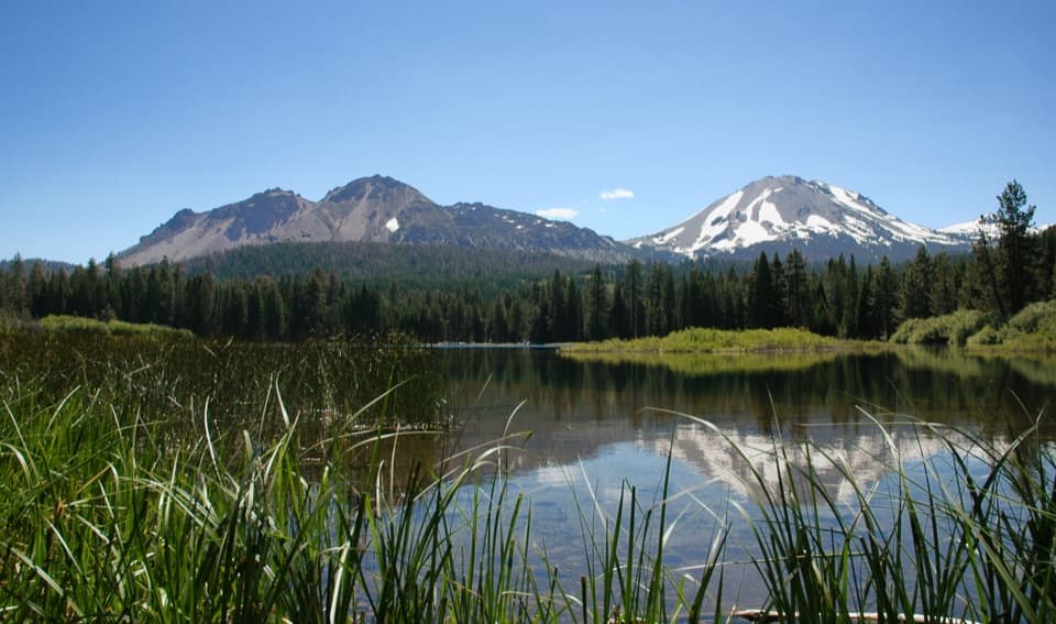
The open hillside is known for mule ears, usually in bloom by July, with blue and white stickseed among the other flowers. Look back toward Brokeoff Mountain and Mount Diller as the route opens up. Deer and a variety of birds are often seen in this part of the park, though no sighting is guaranteed. Older photographs show a greener, more wooded setting than the post-fire landscape visitors encounter now.
Use the Kohm Yah-mah-nee Visitor Center parking lot; the trail begins behind its adjacent amphitheater. The center has restrooms and a café serving soups, salads, sandwiches, espresso drinks and soft-serve ice cream. It is at the start, not on the trail, and its hours vary by season. A park entrance pass is required; no separate hike permit is listed. Pack water before leaving, and leave pets behind: pets are not allowed on park hiking trails.
Wildlife
 103 sightingsBlack BearMost seen around 7 PMSighting map
 44 sightingsBald EagleMost seen around 7 AMSighting map
 348 sightingsMule DeerMost seen around 7 PMSighting map
 17 sightingsSandhill CraneMost seen around 6 AMSighting map
 47 sightingsGreat Blue HeronMost seen around 7 AMSighting map
 12 sightingsGreat EgretMost seen around 7 AMSighting map
Sighting maps show where each species has been reported across Lassen Volcanic. Wildlife moves, so no sighting is guaranteed.
Keep exploring
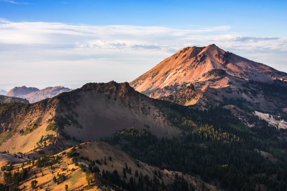 ChallengingBrokeoff Mountain Trail7.4 mi · 6 hr · 0.5 mi awayA steep summit climb with Lassen views and an ancient caldera.
 ChallengingRidge Lakes Trail2.2 mi · 1.8 hr · 0.8 mi awayA steep climb to two small lakes in a volcanic cirque.
 ModerateBumpass Hell Trail3 mi · 2 hr · 2.2 mi awayA steady first mile leads to a steaming basin boardwalk.
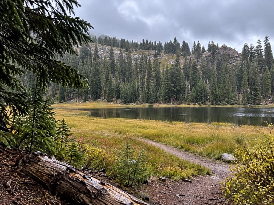 ModerateConard Meadows Shuttle Trail8 mi · 4.5 hr · 2.2 mi awayA shuttle links two lakes, Conard Meadows and a 75-foot waterfall.ChallengingTwin Meadows Shuttle Hike14.4 mi · 9 hr · 2.2 mi awayA faint, long downhill shuttle through high meadows and volcanic country.
 EasyCrumbaugh Lake Trail2.6 mi · 1.5 hr · 2.9 mi awayTwo lakes, muted bubbles, and a meadow below Mount Conard.
 ChallengingLassen Peak Trail5 mi · 4.5 hr · 2.9 mi awayCinder slopes and ridge switchbacks reach a volcanic summit.
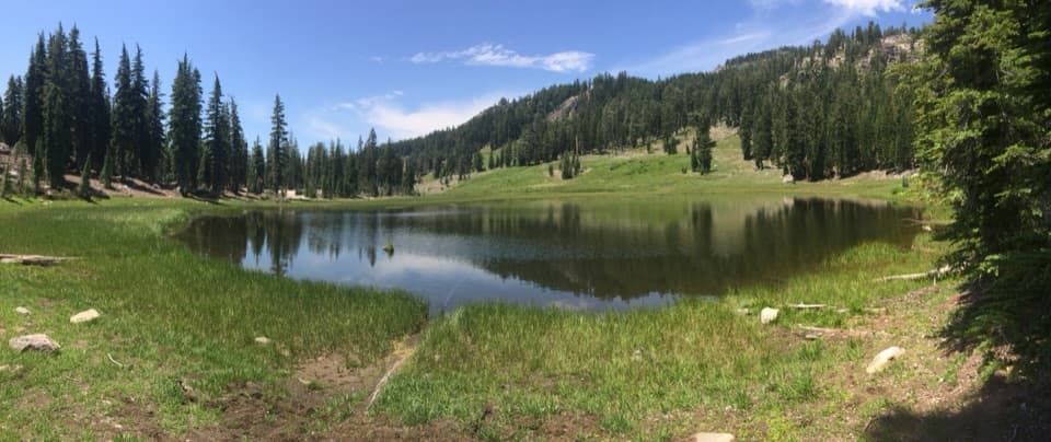 EasyCold Boiling Lake Trail1.6 mi · 54 min · 3.4 mi awayA short, mostly level walk to a lake that may still bubble.
 Visitor center · At the trailheadKohm Yah-mah-nee Visitor CenterA 3-D geology map makes volcanic terrain click
 Food · 0.1 mi awayLassen Café & GiftA handy stop for sandwiches, espresso, and soft-serve.
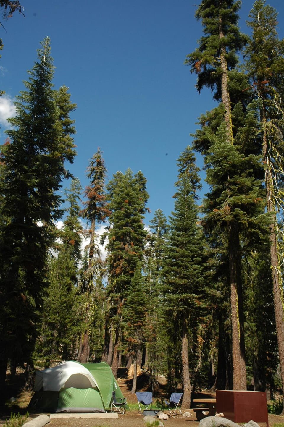 Campground · 0.1 mi awaySouthwest CampgroundWalk-in tents beside the visitor center; winter camping is vehicle-only.
 Entrance station · 0.2 mi awaySouthwest Entrance StationA quick first stop for passes and a park map.
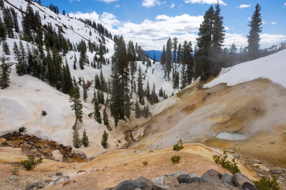 Sight · 0.8 mi awaySulphur WorksColored mudpots and steam, just steps from the park highway.
 Scenic pullout · 0.9 mi awayDiamond Peak Scenic VistaA quick pullout for Lassen Peak and the creek valley.
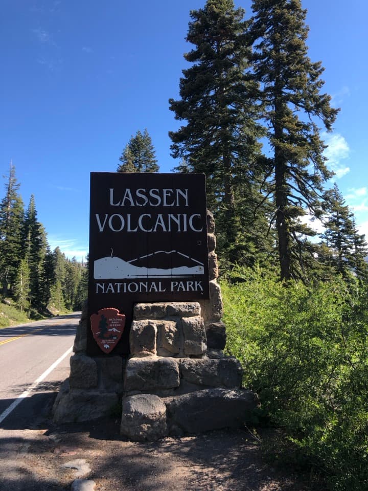 Scenic pullout · 0.9 mi awaySouthwest Entrance SignA quick photo at one of Lassen’s two roadside entrance signs.
 Sight · 1.1 mi awayMill Creek FallsA 75-foot waterfall worth the hot, hilly hike to reach it.
Parkwolf’s Lassen Volcanic ranking
The audio tour guide for the drive, plus offline maps, trails, and wildlife heatmaps for when the signal drops.