Best time to go
Snow usually closes or makes park roads impassable from roughly November through June. Check current road status before setting out; access to this pullout follows the park road.
Scenic pullout · Lassen Volcanic National Park
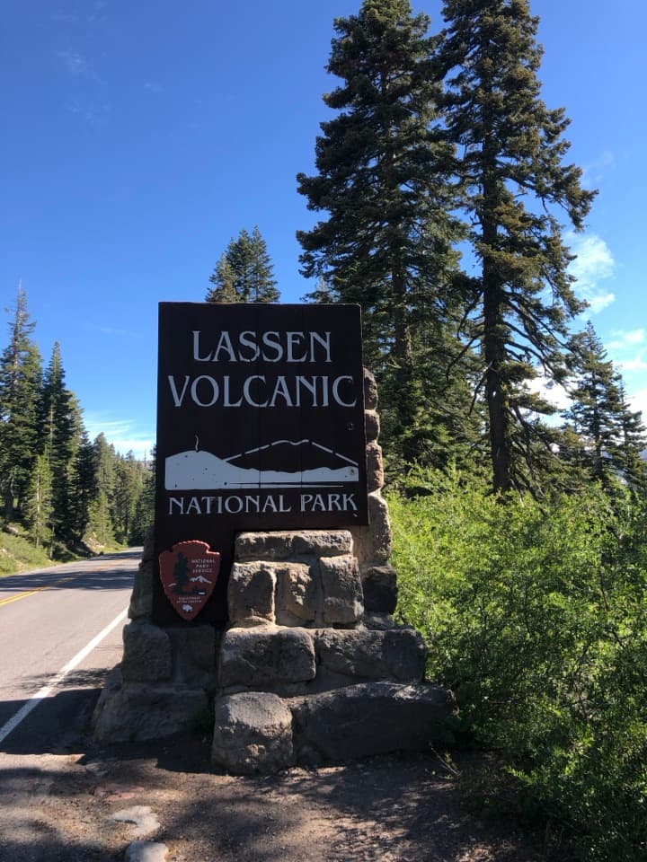
A quick photo at one of Lassen’s two roadside entrance signs.
Overview
Map
Plan your stop

The highest, rockiest slopes around here are a summer buffet for grizzly bears.
Lassen Volcanic Tour Guide
Parkwolf is a GPS audio tour guide for Lassen Volcanic National Park. As you drive, it chimes in with what’s ahead: hidden gems, upcoming stops, history, geology, and wildlife, right through your car’s speakers.
See the Lassen Volcanic audio tourRecorded for this area
Brokeoff Mountain: A Full-Day Climb“You're approaching the Brokeoff Mountain trailhead, where a strenuous climb earns views of Lassen Peak and Mount Shasta.”
Plays on the road 0.5 mi from Southwest Entrance Sign in the Parkwolf Lassen Volcanic Tour Guide.
More stories near here in the app
“Fantastic app with many points of information… It’s great to just turn on while you’re driving and it gives you an audio tour of the national Park. We love it!!!!”


Guide
Southwest Entrance Sign is a small pullout on Lassen Volcanic National Park Highway. It gives you a quick photo with one of the park’s two entrance signs, then you’re back on your drive. It’s a brief arrival stop, not a place to set aside much time.
From the pullout, frame the stone-set sign with a little of the highway and the surrounding conifers. That keeps the marker clear while showing where you are.
Wildlife
 103 sightingsBlack BearMost seen around 7 PMSighting map
 44 sightingsBald EagleMost seen around 7 AMSighting map
 348 sightingsMule DeerMost seen around 7 PMSighting map
 17 sightingsSandhill CraneMost seen around 6 AMSighting map
 47 sightingsGreat Blue HeronMost seen around 7 AMSighting map
 12 sightingsGreat EgretMost seen around 7 AMSighting map
Sighting maps show where each species has been reported across Lassen Volcanic. Wildlife moves, so no sighting is guaranteed.
Keep exploring
 ChallengingBrokeoff Mountain Trail7.4 mi · 6 hr · 0.5 mi awayA steep summit climb with Lassen views and an ancient caldera.
 ModerateMill Creek Falls Trail3.7 mi · 2.8 hr · 0.9 mi awayA 75-foot waterfall rewards the repeated climbs.
 ChallengingRidge Lakes Trail2.2 mi · 1.8 hr · 1.7 mi awayA steep climb to two small lakes in a volcanic cirque.
 ModerateBumpass Hell Trail3 mi · 2 hr · 3.1 mi awayA steady first mile leads to a steaming basin boardwalk.
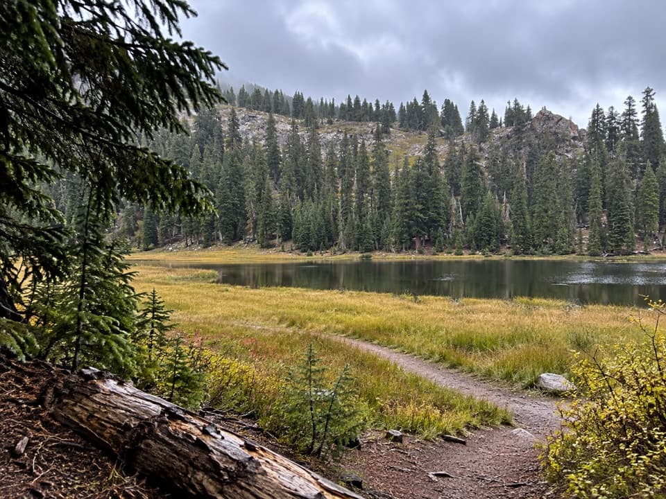 ModerateConard Meadows Shuttle Trail8 mi · 4.5 hr · 3.1 mi awayA shuttle links two lakes, Conard Meadows and a 75-foot waterfall.ChallengingTwin Meadows Shuttle Hike14.4 mi · 9 hr · 3.1 mi awayA faint, long downhill shuttle through high meadows and volcanic country.
 EasyCrumbaugh Lake Trail2.6 mi · 1.5 hr · 3.4 mi awayTwo lakes, muted bubbles, and a meadow below Mount Conard.
 ChallengingLassen Peak Trail5 mi · 4.5 hr · 3.8 mi awayCinder slopes and ridge switchbacks reach a volcanic summit.
 Entrance station · 0.8 mi awaySouthwest Entrance StationA quick first stop for passes and a park map.
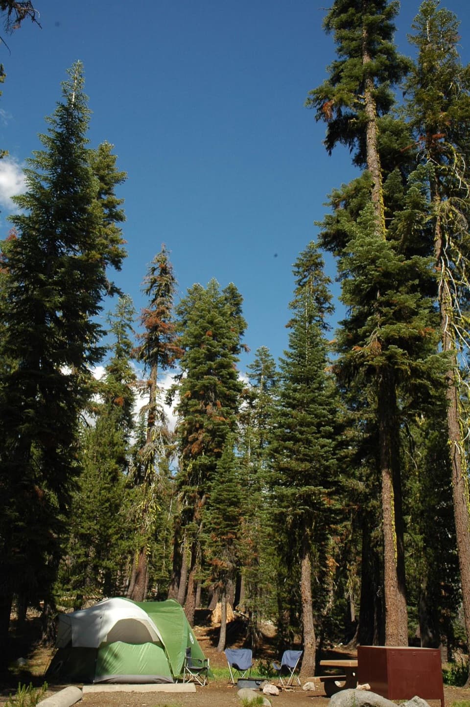 Campground · 0.9 mi awaySouthwest CampgroundWalk-in tents beside the visitor center; winter camping is vehicle-only.
 Food · 0.9 mi awayLassen Café & GiftA handy stop for sandwiches, espresso, and soft-serve.
 Visitor center · 0.9 mi awayKohm Yah-mah-nee Visitor CenterA 3-D geology map makes volcanic terrain click
 Sight · 1.6 mi awayMill Creek FallsA 75-foot waterfall worth the hot, hilly hike to reach it.
 Scenic pullout · 1.6 mi awayDiamond Peak Scenic VistaA quick pullout for Lassen Peak and the creek valley.
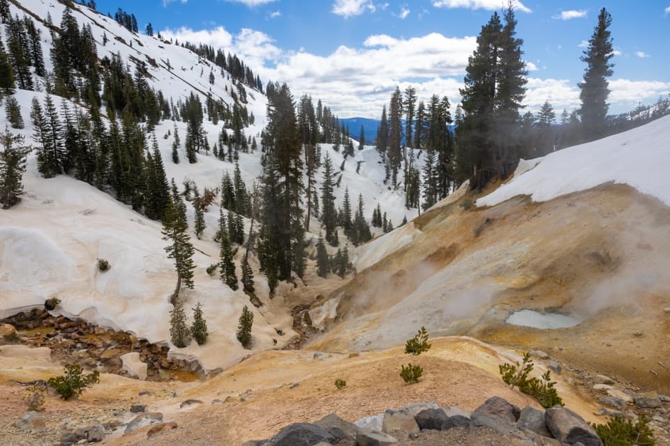 Sight · 1.7 mi awaySulphur WorksColored mudpots and steam, just steps from the park highway.
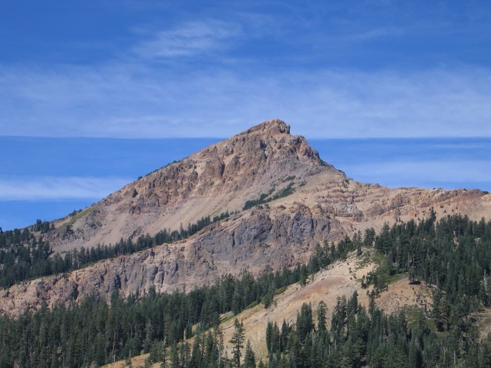 Sight · 2 mi awayBrokeoff MountainA tough six-hour climb opens a view across the old volcano.
Parkwolf’s Lassen Volcanic ranking

The audio tour guide for the drive, plus offline maps, trails, and wildlife heatmaps for when the signal drops.