Best time to go
- The track is usually open seasonally from June to September, the dry-season window.
- Earlier in that window generally means more chance of water in pools; later means hotter, drier conditions and lower pools.
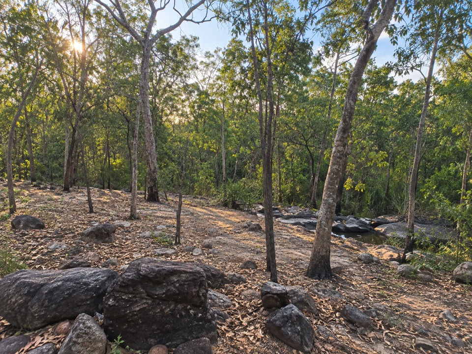
Campground · Litchfield National Park
Rugged riverbed camp 15 km into the Tabletop Track loop
Overview
Map
Plan your stop

The highest, rockiest slopes around here are a summer buffet for grizzly bears.
Litchfield Tour Guide
Parkwolf is a GPS audio tour guide for Litchfield National Park. As you drive, it chimes in with what’s ahead: hidden gems, upcoming stops, history, geology, and wildlife, right through your car’s speakers.
More stories near here in the app
“Fantastic app with many points of information… It’s great to just turn on while you’re driving and it gives you an audio tour of the national Park. We love it!!!!”


Guide
The southern designated overnight campground on the Tabletop Track, the multi-day loop around the Tabletop Range. It exists to break up a long walking circuit, and it is mapped simply as a camp site with permissive access. Camping on the track must be booked and paid for online in advance.
Facilities on the track are described as minimal, and no specific on-site amenities are verified for this campground, so plan to be fully self-sufficient.
Keep exploring
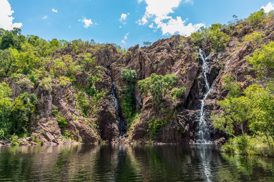 ModerateWangi Falls Walk1.6 km · 1 hr · 3.8 km awayA short loop pairs the plunge pool with an escarpment climb.
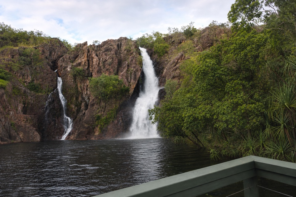 ChallengingTabletop Track: Wangi Falls to Walker Creek20.2 km · 12 hr · 4 km awayA rugged two-day Tabletop crossing with waterfalls and long dry stretches.
 EasyTolmer Falls Lookout Walk0.8 km · 20 min · 5 km awayA short sealed path to two decks over Tolmer's deep gorge.
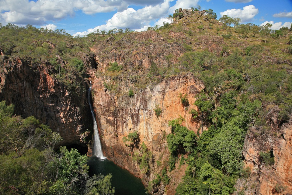 ModerateTolmer Falls Walk1.6 km · 45 min · 5 km awayA short loop pairs the falls platform with a rocky creek return.
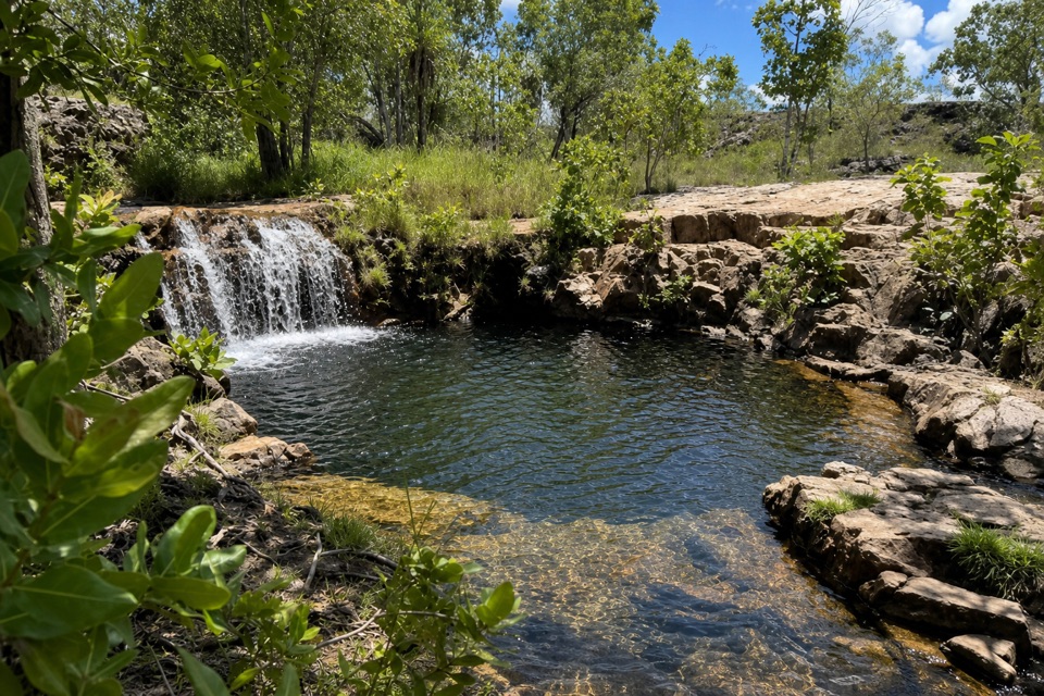 ModerateGreenant Creek Walk3.1 km · 1.5 hr · 5.1 km awayShade gives way to a steep climb and a falls lookout.
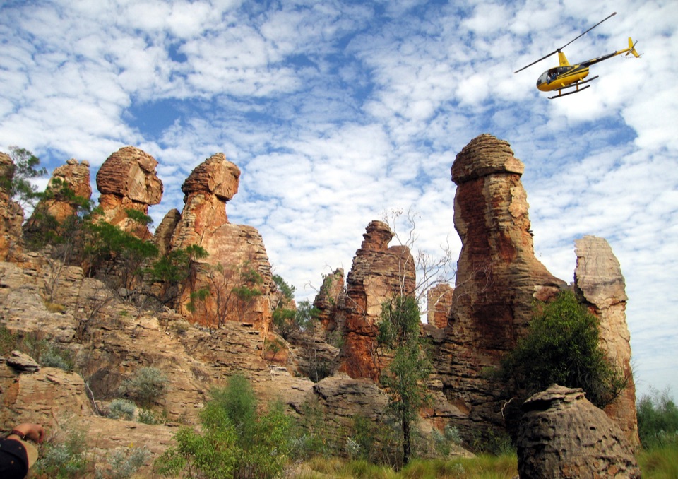
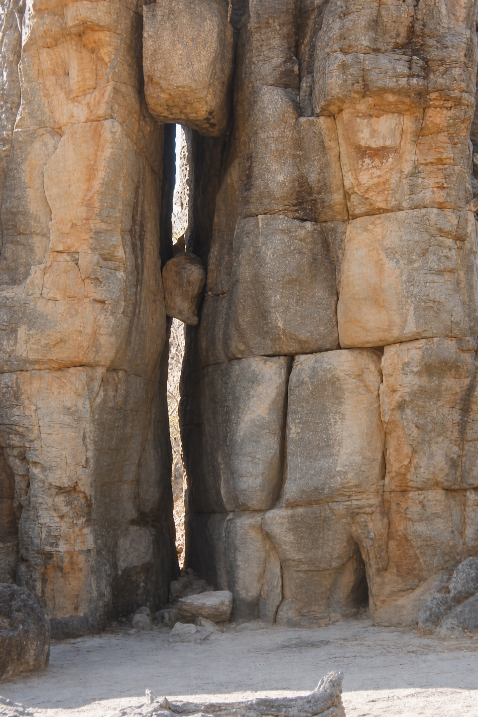 EasyThe Lost City Walk0.7 km · 30 min · 6.8 km awayA short wander among sandstone pillars, reached only by 4WD.
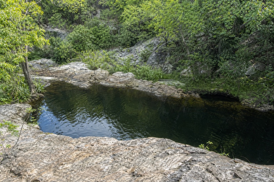 ModerateLower Cascades Walk2.6 km · 1.5 hr · 7.1 km awayQuickest, shadiest access to Curtain Falls and its rocky plunge pool.
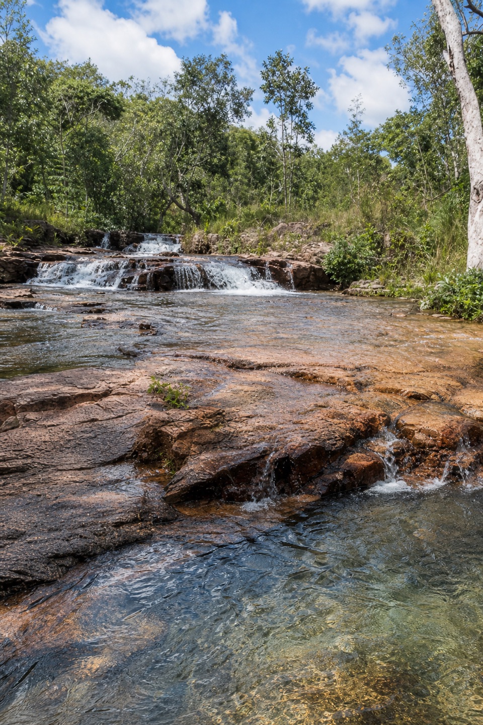 ModerateUpper Cascades Walk3.3 km · 2 hr · 7.1 km awayA rocky climb opens onto plateau lookouts and stepped cascades.
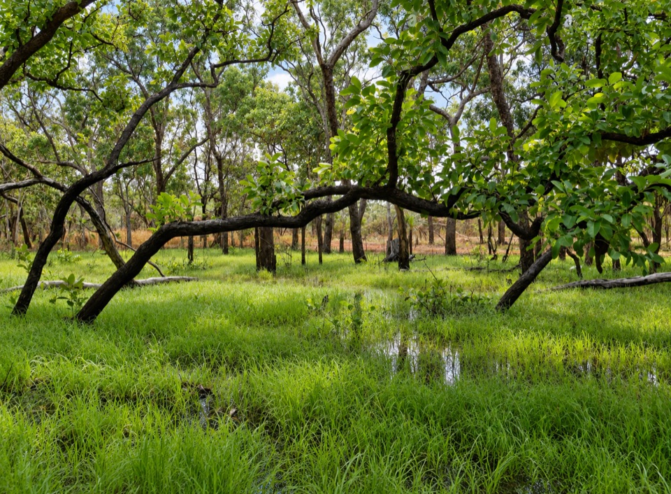 Sight · 3.7 km awayTabletop SwampA paperbark-fringed wetland for a quiet picnic and unhurried birdwatching
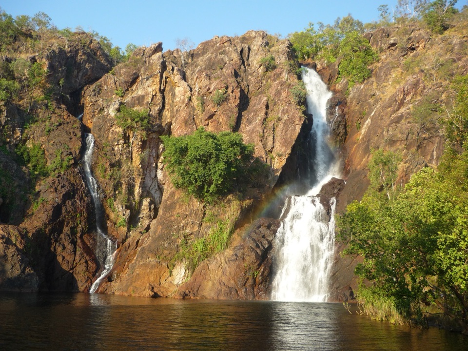 Sight · 3.7 km awayWangi FallsTwin falls into a deep swimming pool, minutes from the carpark
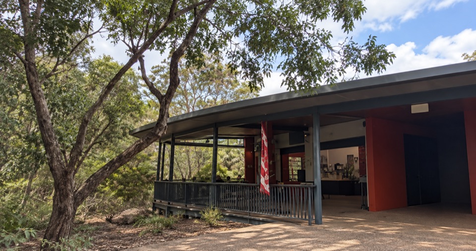 Food · 4 km awayWangi Falls CafeShaded open-air kiosk steps from the plunge pool, with cold drinks
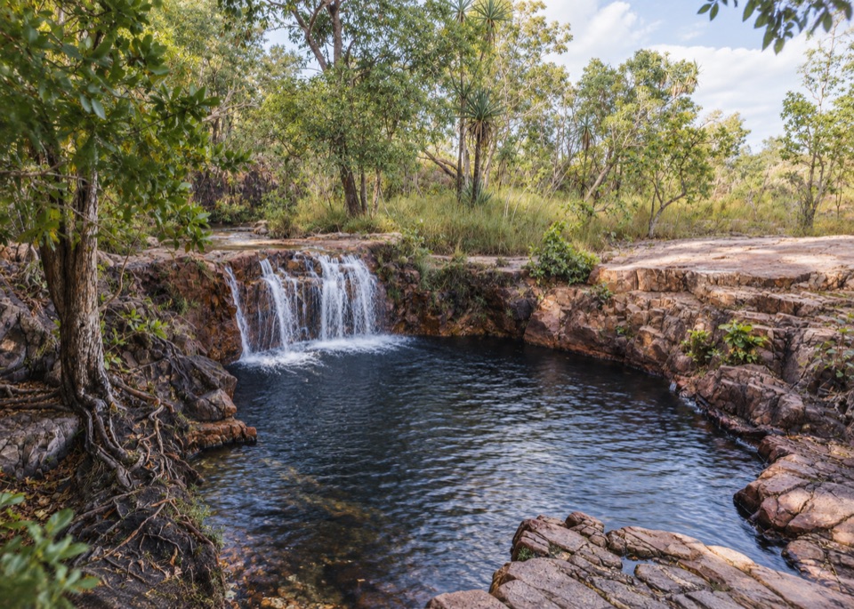 Sight · 4.2 km awayTjaetaba FallsShady creek walk climbing to a quiet rocky cascadeCampground · 4.2 km awayWangi Falls CampgroundCamp minutes from year-round falls and a deep monsoon-forest pool
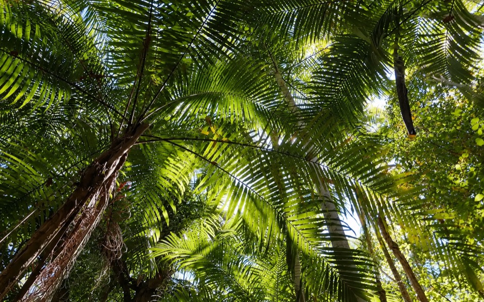 Picnic area · 5.2 km awayGreenant Creek Picnic AreaShady creekside start to a 2.7 km return walk and lookoutSight · 5.3 km awayTolmer FallsTwin escarpments, one deep plunge pool, and a short sealed path
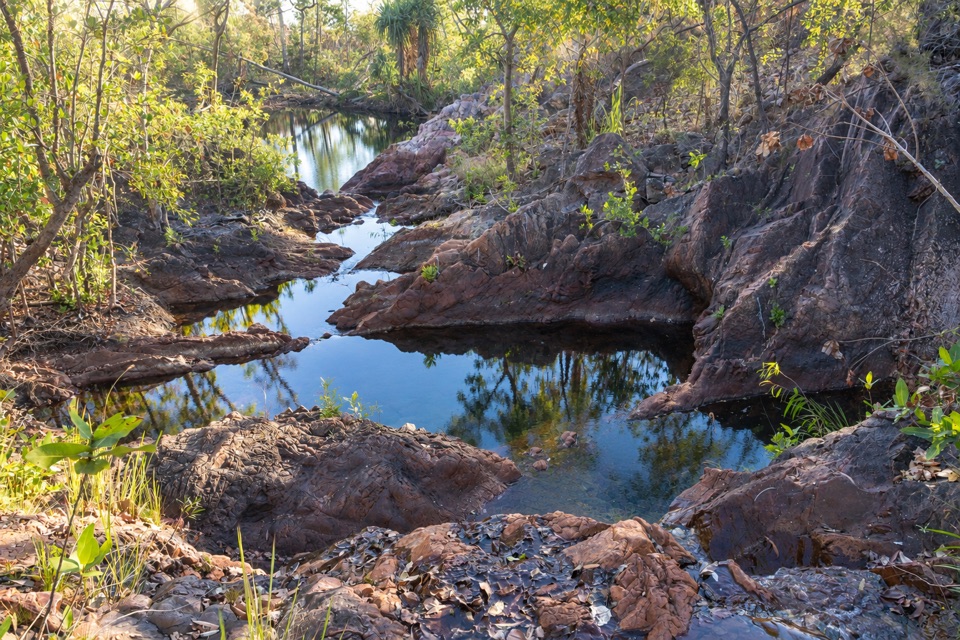 Campground · 5.9 km awayTjenya Falls CampgroundDry-plateau walk-in camp beside a small cascade and rock pools
Parkwolf’s Litchfield ranking

The audio tour guide for the drive, plus offline maps, trails, and wildlife heatmaps for when the signal drops.