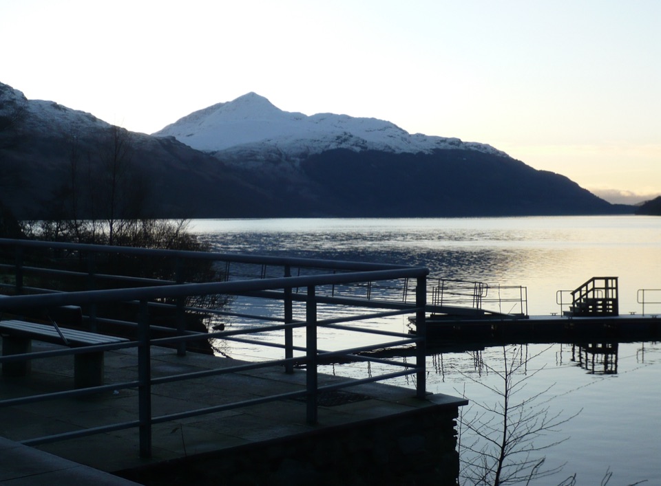
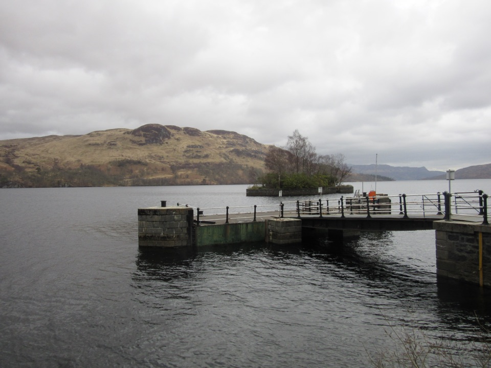
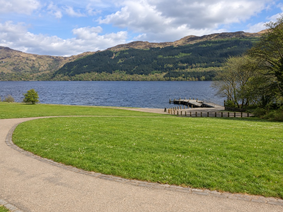
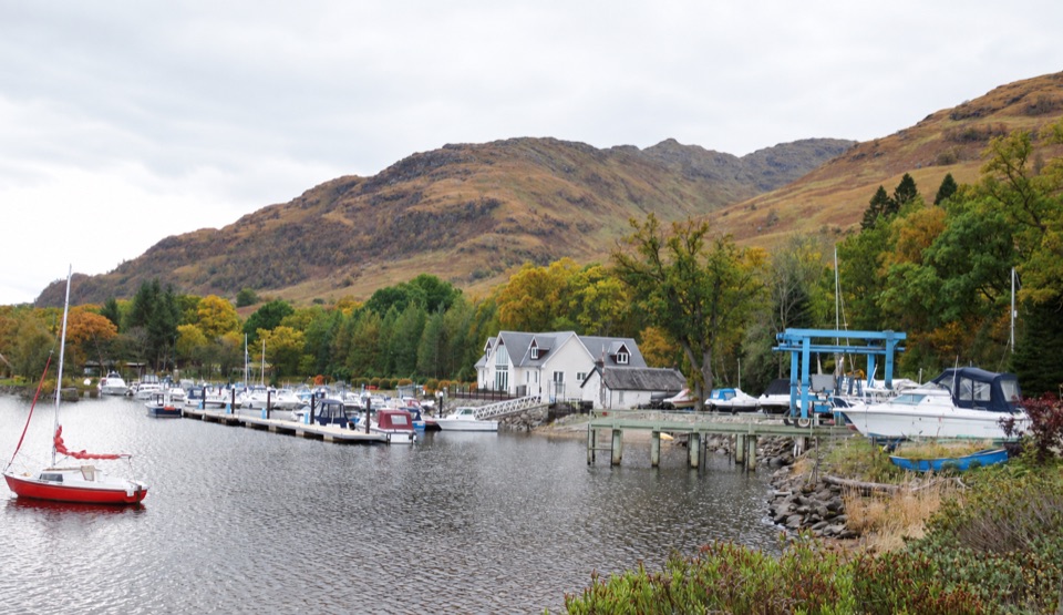
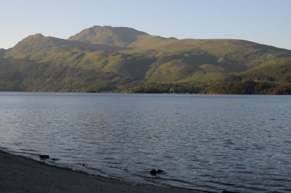
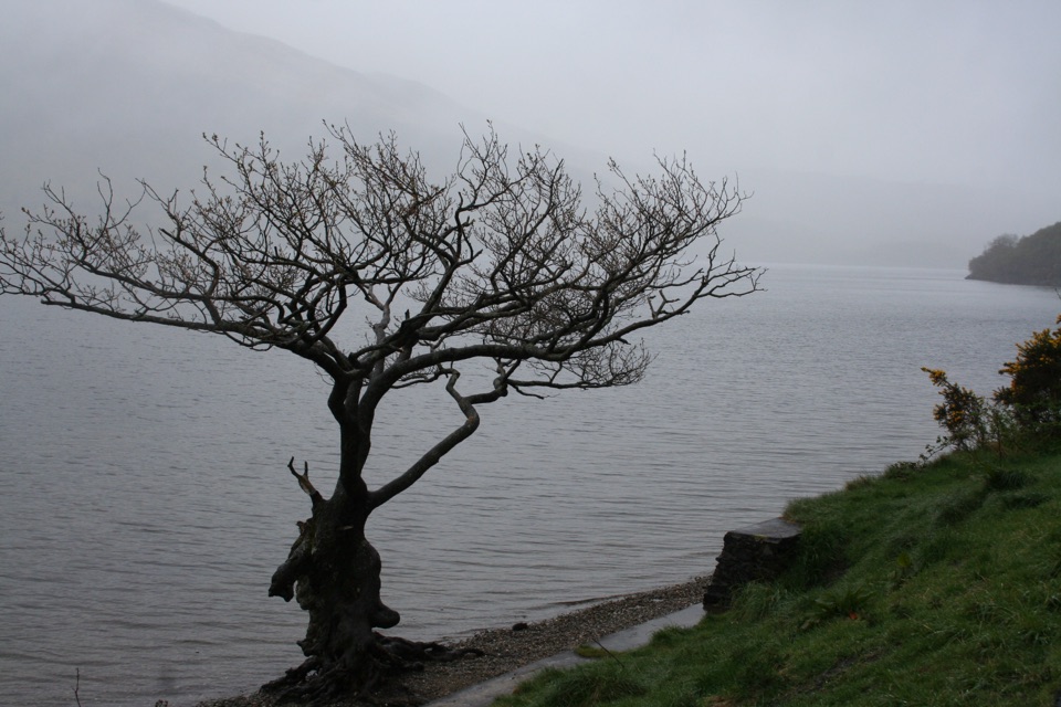
Inversnaid Upland Trail in Loch Lomond & The Trossachs National Park

Loch Lomond & The Trossachs National Park, SC

Inversnaid Upland Trail

A short gravel climb to a restored sheep fank and mountain views.

Length
1.6km
Time
1hr
Elev. change
31m
Difficulty
Easy
  • Dogs allowed
  • High point 155 m

Hear the audio tour

Inveruglas Lochside Viewpoint

Overview

About Inversnaid Upland Trail

Why go

  • A short climb ends at a restored sheep fank with mountain views.
  • The starting car park has an accessible toilet and picnic tables.

Heads up

  • Uneven gravel and muddy patches on a moderate uphill.
  • Only seven car spaces at the trailhead.

Map & elevation

The route

Loading the Loch Lomond & The Trossachs map
Full map
Elevation124–155 m
TrailheadRSPB Scotland Garrison Farm car park56.25075, -4.66722
Keep this map with you offline in the Parkwolf app

Plan your hike

Before you go

Parking

From Aberfoyle, take the B829 and continue on the single-track road for about 12 miles (19 km); turn left at the T-junction. Garrison Farm is on the right before Inversnaid Bunkhouse. The car park has seven spaces, including one accessible space.


Safety

The uneven gravel track climbs at a moderate slope and can be muddy or slippery.

4 active Loch Lomond & The Trossachs alerts

  • CautionA82 restriction near Kings House HotelThe A82 is restricted in both directions near Kings House Hotel, Glencoe, because of planned roadworks. - Temporary traffic lights are in place; follow the traffic management.Official details
  • ClosureDaytime A827 closure at KillinThe A827 at Killin is closed during the day for roadworks from 28 September through 9 October 2026. - Closure hours: 9:30am to 3:30pm; avoid the route during those hours.Official details
See all 4 alerts
A park ranger sits on a dash-mounted phone, talking, as Parkwolf’s Tour Guide plays “Army Cutworm Moths: A Grizzly Bear Buffet” on Grand Loop Road below Dunraven Pass in Yellowstone
Parkwolf Tour GuideThe highest, rockiest slopes around here are a summer buffet for grizzly bears.

Loch Lomond & The Trossachs Tour Guide

Your drive to Inversnaid Upland Trail, narrated.

Parkwolf is a GPS audio tour guide for Loch Lomond & The Trossachs National Park. As you drive, it chimes in with what’s ahead: hidden gems, upcoming stops, history, geology, and wildlife, right through your car’s speakers.

Recorded for this area

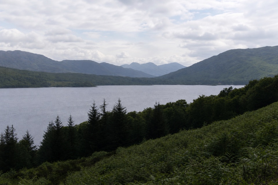
Inveruglas Lochside Viewpoint
0:00 / 0:28
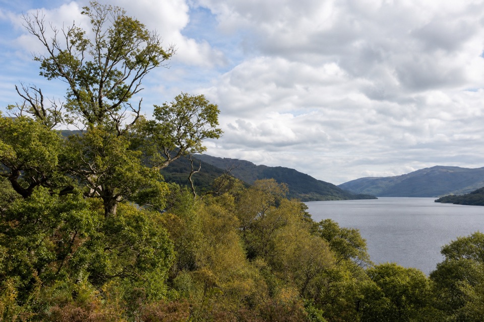
“You're approaching Inveruglas on Loch Lomond's west shore, a good place for a short pause rather than a whole day out.”

Plays on the road 2.6 km from the trailhead in the Parkwolf Loch Lomond & The Trossachs Tour Guide.

More stories near here in the app

  • Summer Homes Above Inveruglas
  • The Pipes Above Inveruglas
  • Roe in the Woods, Red on the Hill
  • The Sad Story in the Loch Lomond Song
  • 196 audio storiesacross Loch Lomond & The Trossachs’s roads, triggered by GPS as you drive
  • Wildlife heatmapsfor Golden Eagle, Red Deer, Mute Swan, and 13 more
  • Works offlinemaps, 93 trails, 73 places, and audio download before you lose signal
  • CarPlay readysimple controls built for the drive
★★★★★
“Fantastic app with many points of information… It’s great to just turn on while you’re driving and it gives you an audio tour of the national Park. We love it!!!!”
JMJamesApp Store review
Download Parkwolf on the App StoreGet Parkwolf on Google Play

4.7 from 8,600+ ratings

Trail guide

Hiking Inversnaid Upland Trail

A short uphill returnInversnaid Upland Trail is an out-and-back from Garrison Farm car park to a restored sheep fank.

Inversnaid Upland Trail is an out-and-back from Garrison Farm car park to a restored sheep fank. The route climbs about 800 m to the fank, then returns the same way: about 1 mile (1.6 km) round trip. The published walk time is 30 minutes each way; allow about one hour to walk and pause at the fank.

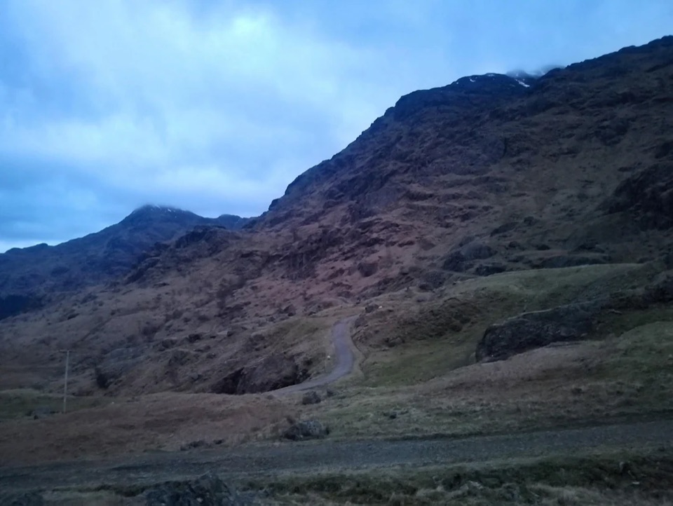
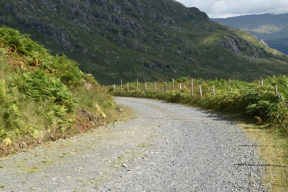
What the track is likeExpect an uneven gravel 4x4 track on a moderate uphill slope.

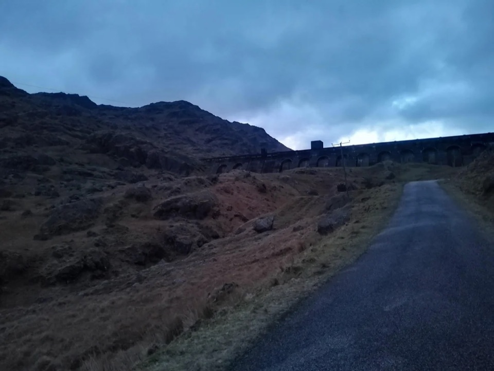
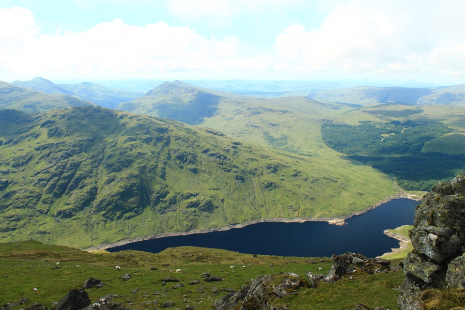
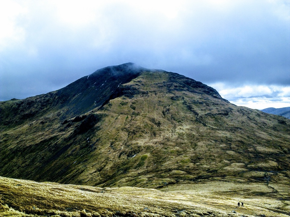
Expect an uneven gravel 4x4 track on a moderate uphill slope. The route crosses open upland, with mountain views along the climb; the restored fank is a good place to stop for a picnic. Some sections can be muddy, so this is a rough country track rather than a smooth-surface walk. Turn around at the fank and follow the same track back.

Start and practicalitiesThe walk starts at RSPB Scotland’s Garrison Farm car park, which has seven spaces, including…

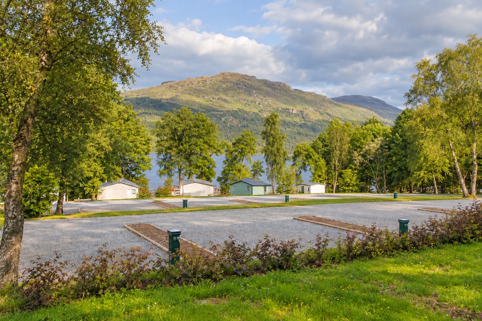
The walk starts at RSPB Scotland’s Garrison Farm car park, which has seven spaces, including one accessible space, plus an accessible toilet and two picnic tables. There’s no café or shop at the reserve. Inversnaid Hotel is the nearest food and drink option in high season; the café at Stronochlachar is about 3 miles (5 km) away. Keep dogs on a short lead from 1 April to 15 August and wherever livestock are present; assistance dogs are welcome throughout.

Wildlife

Wildlife in Loch Lomond & The Trossachs

All Loch Lomond & The Trossachs wildlife maps

Sighting maps show where each species has been reported across Loch Lomond & The Trossachs. Wildlife moves, so no sighting is guaranteed.

Keep exploring

Near Inversnaid Upland Trail

See it all on the map

Trails that start nearby

Places near the trailhead

Parkwolf’s Loch Lomond & The Trossachs ranking

Top-rated trails in Loch Lomond & The Trossachs

All 93 trails
  1. 1West Highland WayChallenging · 154.5 km
  2. 2Ben Lomond from RowardennanChallenging · 12.9 km
  3. 3Ben A’anModerate · 3.7 km
  4. 4Conic HillModerate · 4 km
  5. 5The CobblerChallenging · 10.5 km
  6. 6The Great Trossachs PathModerate · 48.3 km

Take Parkwolf to Loch Lomond & The Trossachs.

The audio tour guide for the drive, plus offline maps, trails, and wildlife heatmaps for when the signal drops.

4.7 from 8,600+ ratings

Download Parkwolf on the App StoreGet Parkwolf on Google Play