Parking
Use the council-run car park at Inversnaid Hotel (about 40 spaces). Walk north on the West Highland Way for about 500 m to the signed Woodland Trail turn-off.
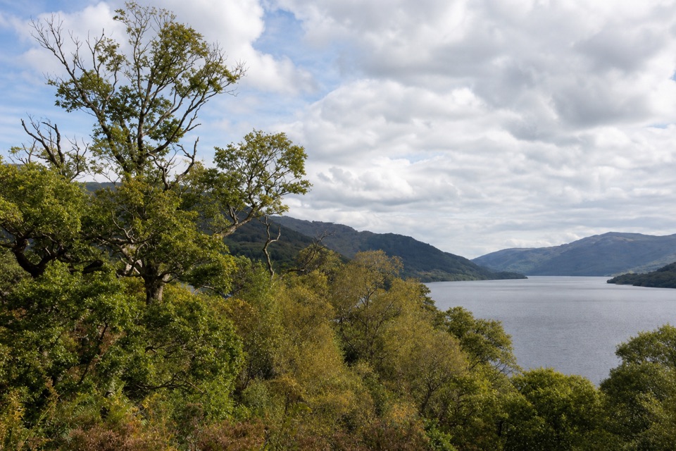
Loch Lomond & The Trossachs National Park, SC
A steep, stepped loop to old ruins and a Loch Lomond viewpoint.
Overview
Map & elevation
Plan your hike

The highest, rockiest slopes around here are a summer buffet for grizzly bears.
Loch Lomond & The Trossachs Tour Guide
Parkwolf is a GPS audio tour guide for Loch Lomond & The Trossachs National Park. As you drive, it chimes in with what’s ahead: hidden gems, upcoming stops, history, geology, and wildlife, right through your car’s speakers.
Recorded for this area
Summer Homes Above Inveruglas“Above Inveruglas, small stone foundations mark a summer routine that once shaped these hills. Families moved cattle up to seasonal pastures, keeping the animals away from crops by the loch.”
Plays on the road 1.4 km from the trailhead in the Parkwolf Loch Lomond & The Trossachs Tour Guide.
More stories near here in the app
“Fantastic app with many points of information… It’s great to just turn on while you’re driving and it gives you an audio tour of the national Park. We love it!!!!”


Trail guide
The Inversnaid Woodland Trail is a 1.5-mile loop from the Inversnaid Hotel car park, following the West Highland Way north beside Loch Lomond, climbing into Atlantic oakwoods and returning to the shore. Allow about an hour. The short mileage hides a steep climb of about 145 metres and more than 400 steps. I’d choose it for the change from shore to forest, its old settlement remains and a clearing above the loch, not for a level stroll.
Head north on the West Highland Way past an old corrugated-iron boathouse. Just after a little wooden bridge, take the signed path uphill to the right. The narrow trail climbs sharply through oak, hazel, holly and birch. Look beneath the canopy for the stone remains of Cladachbeag, an old settlement. Three benches along the way give you a pause, though none has a back or arm rests. At the grassy clearing, the trees open to a view down Loch Lomond toward Tarbet and the Arrochar Alps. Spring brings bluebells across the woodland floor and birdsong through the canopy. This is the place to pause and frame the water against the distant peaks.
From the clearing the path bears right and drops through the woods, crossing a wooden footbridge over a stream before rejoining the West Highland Way at the water. Turn left for the walk back to the Hotel. Rocky tread and frequent changes in gradient make the loop more demanding than the distance suggests; the path can be slippery or muddy.
The signed trail starts about 500 metres north of the Hotel car park. The 1.5-mile figure here is for the full Hotel-start circuit, including that shore approach and return. RSPB also lists the Woodland Trail as 1 kilometre but does not clarify the distance convention. The council-run Hotel car park has about 40 spaces. There is no café or shop at the reserve; the Hotel serves food in high season, and Stronachlachar has a café 3 miles away. High-season boats from Tarbet offer a car-free approach, but there is no general public transport. Dogs are allowed, on a short lead from 1 April to 15 August and around livestock.
Wildlife
 14 sightingsGolden EagleMost seen around 6 PMSighting map
 37 sightingsRed DeerMost seen around 7 PMSighting map
 100 sightingsMute SwanMost seen around 11 AMSighting map
 48 sightingsOspreyMost seen around 6 PMSighting map
 24 sightingsEurasian BeaverMost seen around 8 PMSighting map
 37 sightingsEurasian Pine MartenMost seen around 7 PMSighting map
Sighting maps show where each species has been reported across Loch Lomond & The Trossachs. Wildlife moves, so no sighting is guaranteed.
Keep exploring
 EasyInversnaid Upland Trail1.6 km · 1 hr · 1.4 km awayA short gravel climb to a restored sheep fank and mountain views.
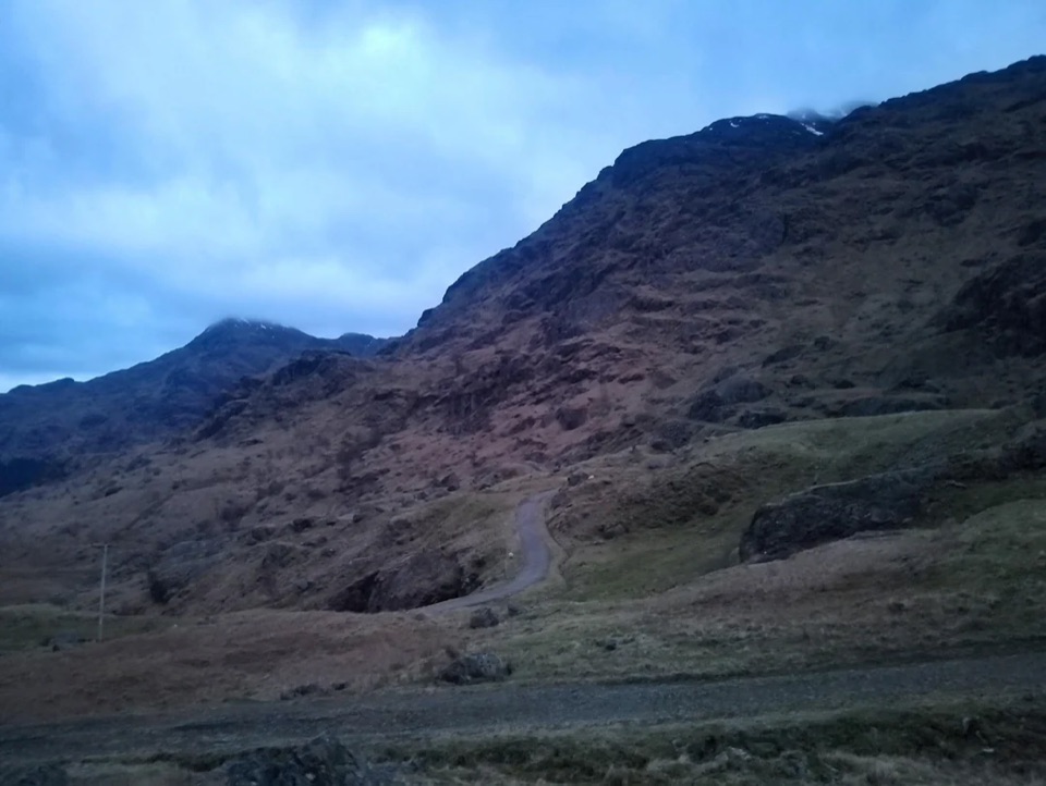 ChallengingBen Vane10.9 km · 5.5 hr · 1.7 km awayA steep Munro with Loch Lomond views and a short scramble.
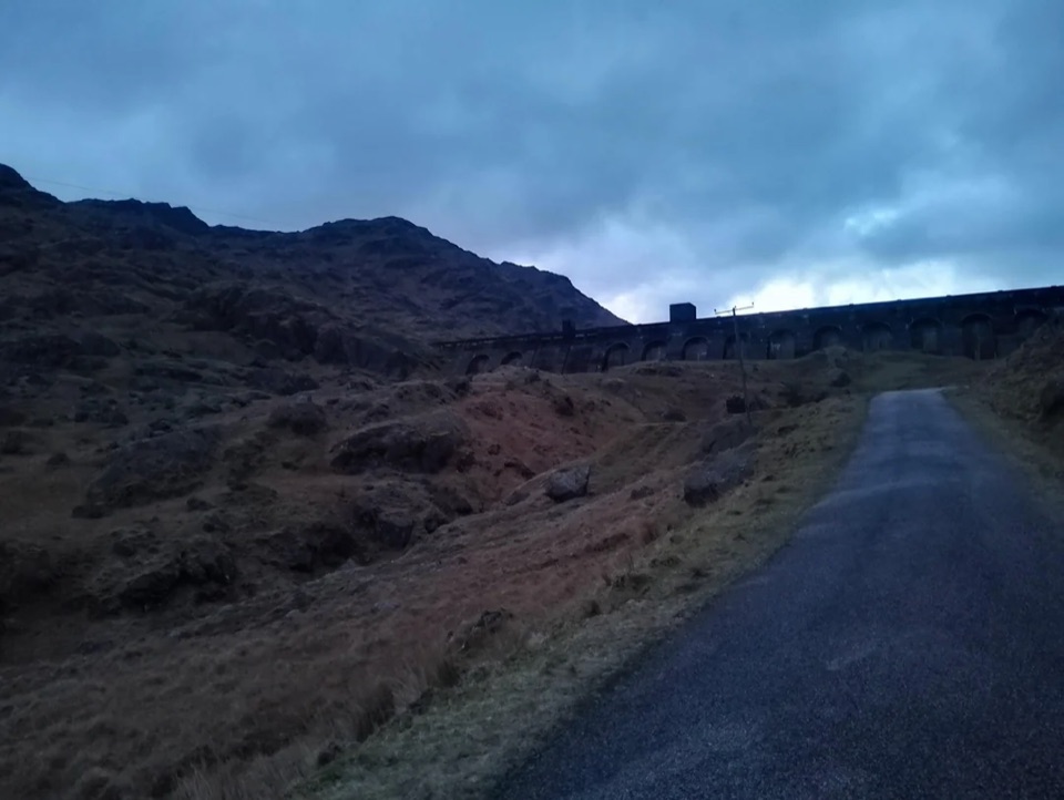 ModerateLoch Sloy Dam Walk11.3 km · 4 hr · 1.7 km awayA surfaced road leads to a huge dam beneath Ben Vorlich.
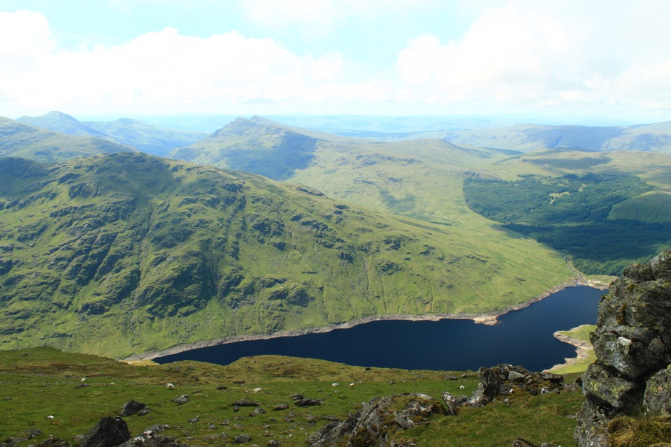 ChallengingBen Vorlich via Loch Sloy13.7 km · 6 hr · 1.7 km awayClimb the Loch Sloy road, then earn a wide Loch Lomond panorama.
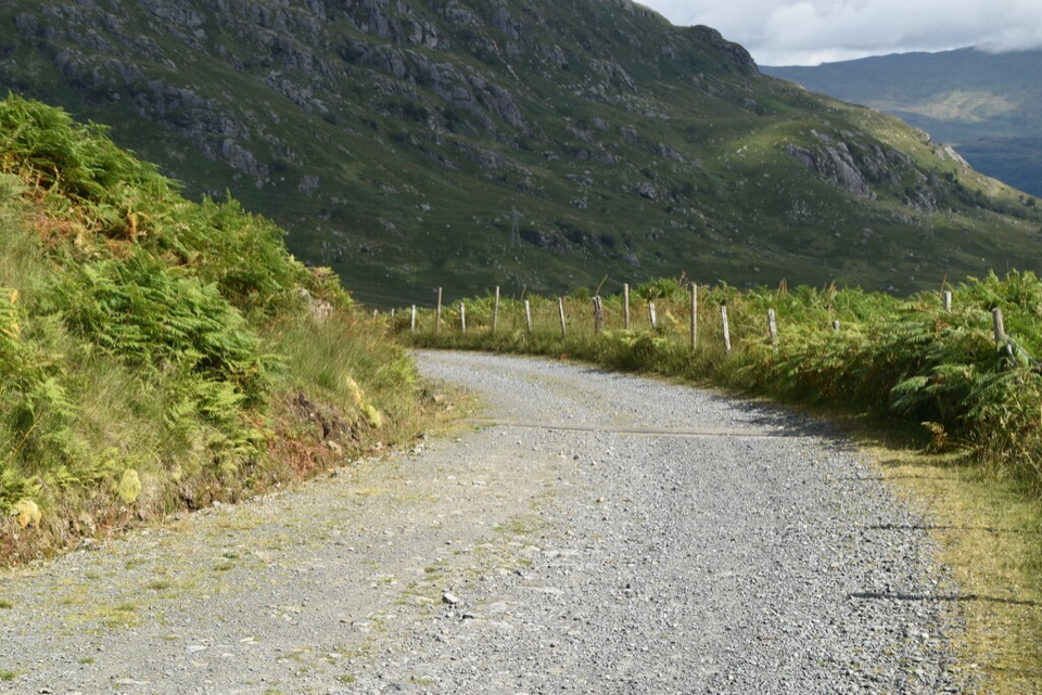 ModerateGlen Loin and Coiregrograin Walking Circuit17.7 km · 5 hr · 5.5 km awayA full Highland glen circuit with Ben Lomond and Loch Long views.
 ChallengingThe Cobbler10.5 km · 5.5 hr · 5.7 km awayStone steps lead to an airy summit beside a dramatic overhang.
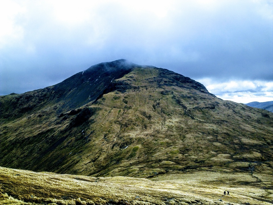 ChallengingBeinn Narnain and Beinn Ìme13.8 km · 6.5 hr · 5.7 km awayA rough 13.8 km loop over two Arrochar Munros.
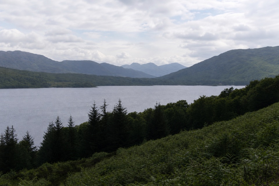 ModerateLoch Katrine Shore Walk21.6 km · 5.5 hr · 6.9 km awayA long lochside crossing threaded with waterfalls and old stories.
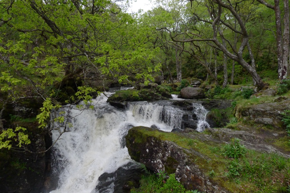 Sight · 0.1 km awayInversnaid FallsA footbridge brings you close to the tumbling Arklet Burn.
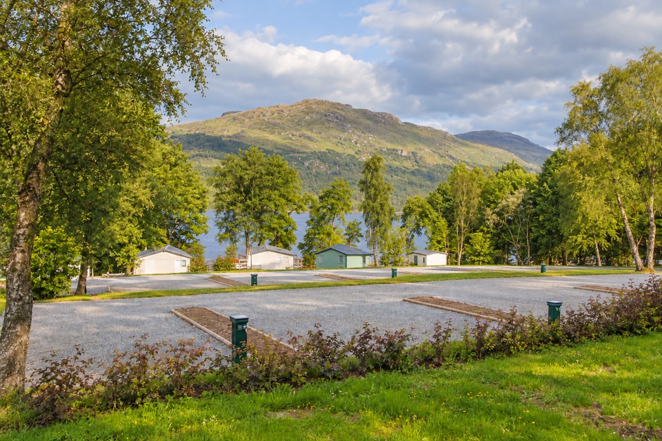 Lodging · 1.7 km awayLoch Lomond Holiday ParkPrivate beach, launchable shoreline and lodges facing open water
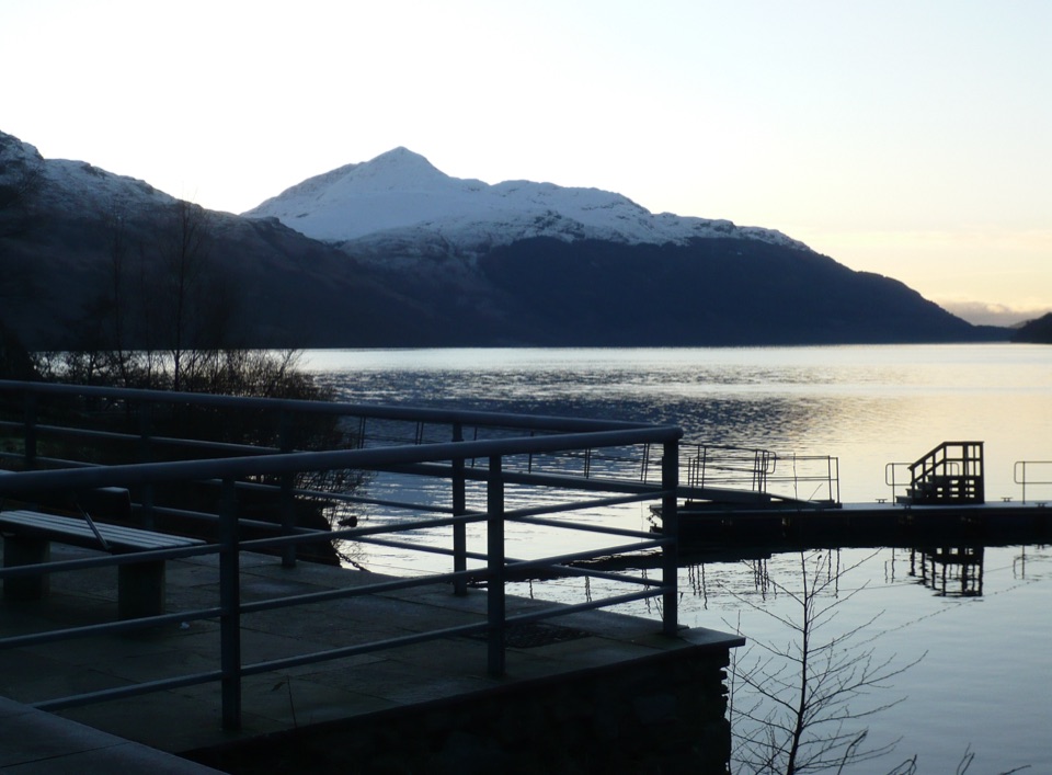 Sight · 1.7 km awayInveruglas Lochside ViewpointA quick lochside stop with Ben Lomond and the Arrochar Alps.
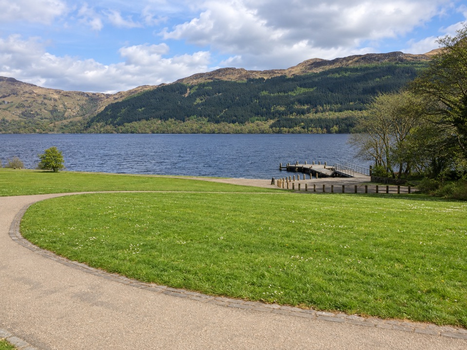 Sight · 4.7 km awayTarbet Pier and Picnic AreaBoard a circular cruise, or just take a short lochside break
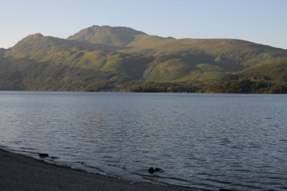 Sight · 6.7 km awayBen LomondA hard climb to a summit with Loch Lomond spread below.
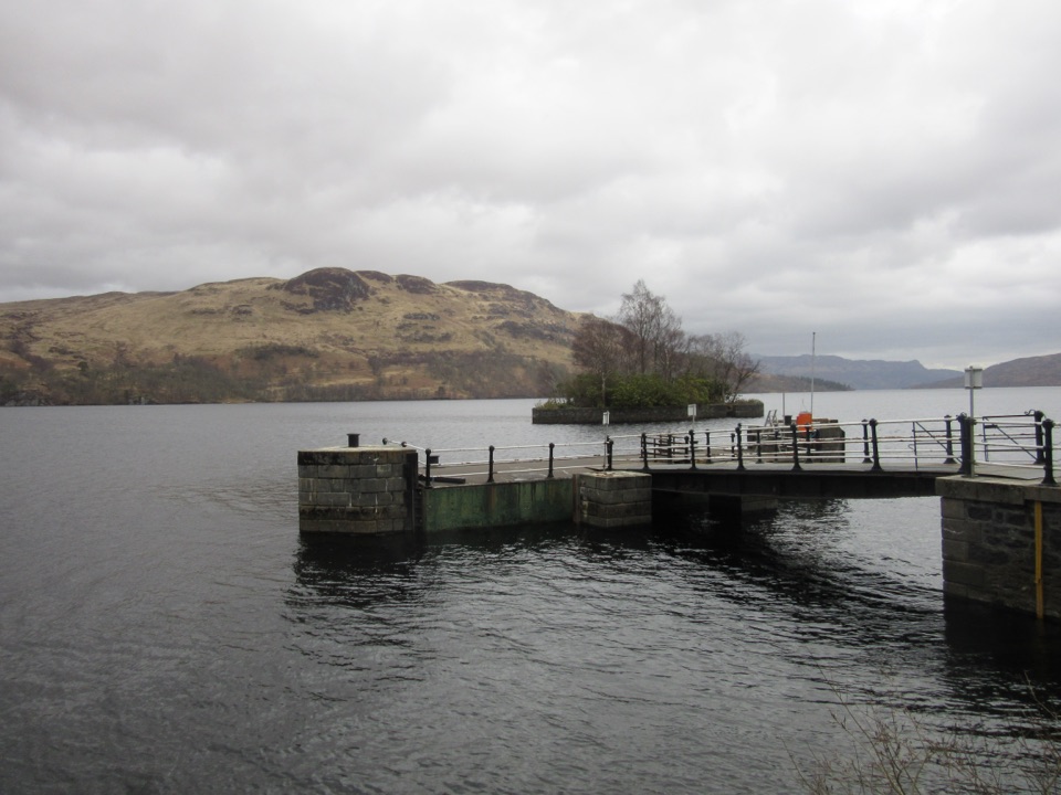 Sight · 6.9 km awayStronachlachar PierA quiet Loch Katrine pier for boats, hills, and a good café.
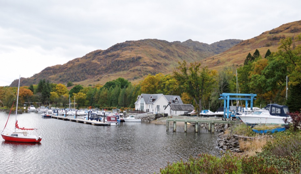 Lodging · 7.1 km awayArdlui Holiday ParkA lochside base for boats, whisky and the West Highland Way ferry.
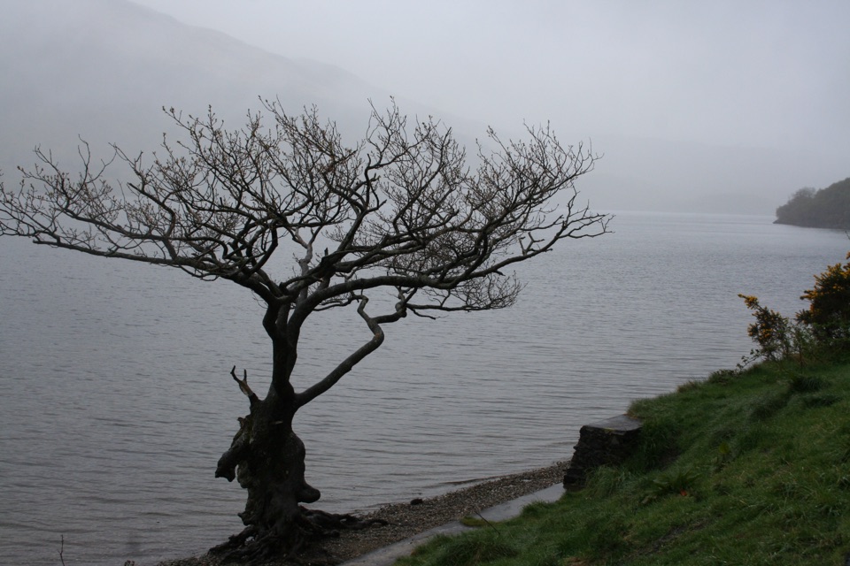 Sight · 8 km awayFirkin PointA lochside stop with Ben Lomond views and a long flat path.
Parkwolf’s Loch Lomond & The Trossachs ranking

The audio tour guide for the drive, plus offline maps, trails, and wildlife heatmaps for when the signal drops.




