The Cobbler (Ben Arthur) in Loch Lomond & The Trossachs National Park

Sight · Loch Lomond & The Trossachs National Park

The Cobbler (Ben Arthur)

Three rocky summits, with an optional scramble through the needle.

Photo: Wikimedia Commons
Type
Sight
Nearest trail
2.4 km
Audio stories
4 nearby
  • Parking
  • #12 of 41 sights

Hear the audio tour

The Cobbler from Succoth

Overview

About The Cobbler (Ben Arthur)

Why stop

  • Distinctive rock towers and wide mountain views

Heads up

  • Long climb with steep, rocky ground

Map

Where it is

Loading the Loch Lomond & The Trossachs map
Full map
SightThe Cobbler (Ben Arthur)56.21318, -4.80915
Keep this map with you offline in the Parkwolf app

Plan your stop

Before you go

4 active Loch Lomond & The Trossachs alerts

  • CautionA82 restriction near Kings House HotelThe A82 is restricted in both directions near Kings House Hotel, Glencoe, because of planned roadworks. - Temporary traffic lights are in place; follow the traffic management.Official details
  • ClosureDaytime A827 closure at KillinThe A827 at Killin is closed during the day for roadworks from 28 September through 9 October 2026. - Closure hours: 9:30am to 3:30pm; avoid the route during those hours.Official details
See all 4 alerts
A park ranger sits on a dash-mounted phone, talking, as Parkwolf’s Tour Guide plays “Army Cutworm Moths: A Grizzly Bear Buffet” on Grand Loop Road below Dunraven Pass in Yellowstone
Parkwolf Tour GuideThe highest, rockiest slopes around here are a summer buffet for grizzly bears.

Loch Lomond & The Trossachs Tour Guide

Your drive to The Cobbler (Ben Arthur), narrated.

Parkwolf is a GPS audio tour guide for Loch Lomond & The Trossachs National Park. As you drive, it chimes in with what’s ahead: hidden gems, upcoming stops, history, geology, and wildlife, right through your car’s speakers.

Recorded for this place

The Cobbler from Succoth
0:00 / 0:25
“You're approaching the Succoth trailhead for the Cobbler, the three-topped mountain above Loch Long. Allow five to six hours for the steep, six and a half mile return; the forest path becomes rough and rocky higher up.”

Plays as you drive up to The Cobbler (Ben Arthur) in the Parkwolf Loch Lomond & The Trossachs Tour Guide.

More stories near here in the app

  • Why Soldiers Built This Road
  • The Brack from Ardgartan
  • The Sea at Arrochar
  • Rest and Be Thankful above Glen Croe
  • 196 audio storiesacross Loch Lomond & The Trossachs’s roads, triggered by GPS as you drive
  • Wildlife heatmapsfor Golden Eagle, Red Deer, Mute Swan, and 13 more
  • Works offlinemaps, 93 trails, 73 places, and audio download before you lose signal
  • CarPlay readysimple controls built for the drive
★★★★★
“Fantastic app with many points of information… It’s great to just turn on while you’re driving and it gives you an audio tour of the national Park. We love it!!!!”
JMJamesApp Store review
Download Parkwolf on the App StoreGet Parkwolf on Google Play

4.7 from 8,600+ ratings

Guide

More about The Cobbler (Ben Arthur)

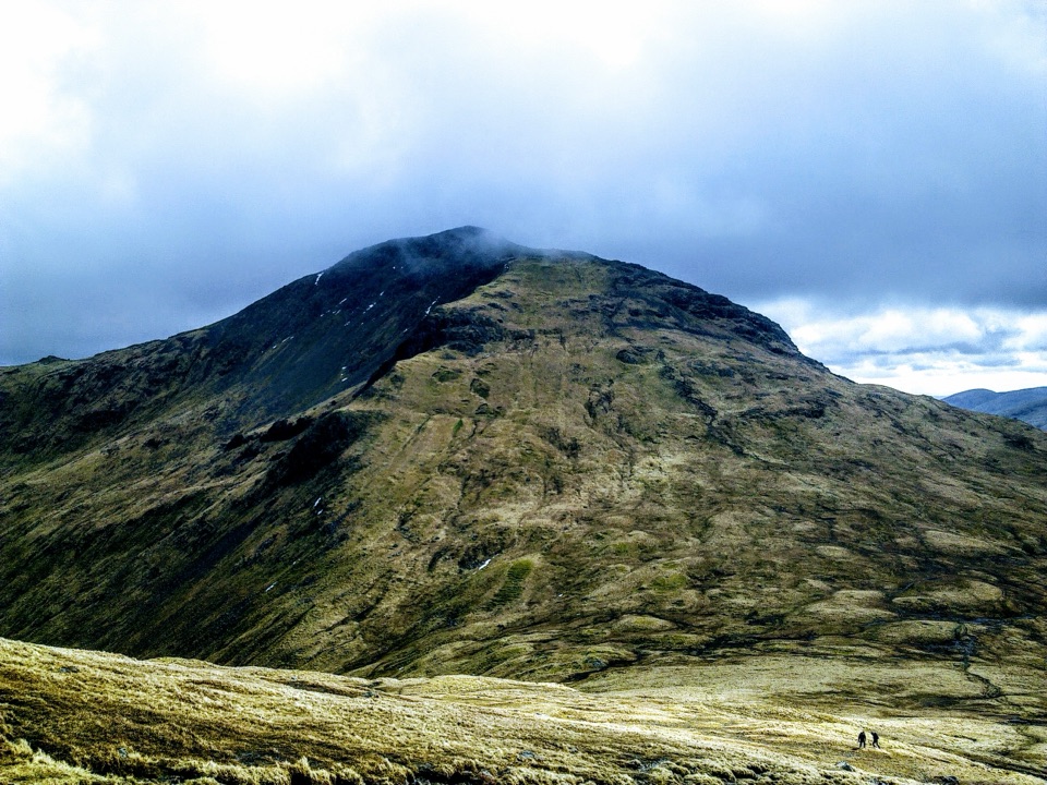
A mountain with three rocky topsThe Cobbler is a mountain of three jagged summits above Loch Long, near Arrochar.

The Cobbler is a mountain of three jagged summits above Loch Long, near Arrochar. Also called Ben Arthur, it's one of the most recognizable shapes in the Arrochar Alps: a cluster of rock towers above a bowl of rough hillside. It falls below Scotland's Munro height threshold, but this is still a substantial mountain day. Allow four to six hours for the usual 11 km walk from Succoth, with about 920 m of ascent.

Choose it for the changing views and the close-up encounter with those summit rocks. You don't have to climb onto the highest pinnacle to enjoy the mountain. That last move is a separate, exposed scramble, and deciding to leave it alone is perfectly sensible. If you only want a short roadside stop, look at the skyline from Arrochar instead of starting the ascent expecting a quick viewpoint.

From forest to the summit bowlThe walk starts opposite the Succoth car park on the A83, just west of Arrochar.

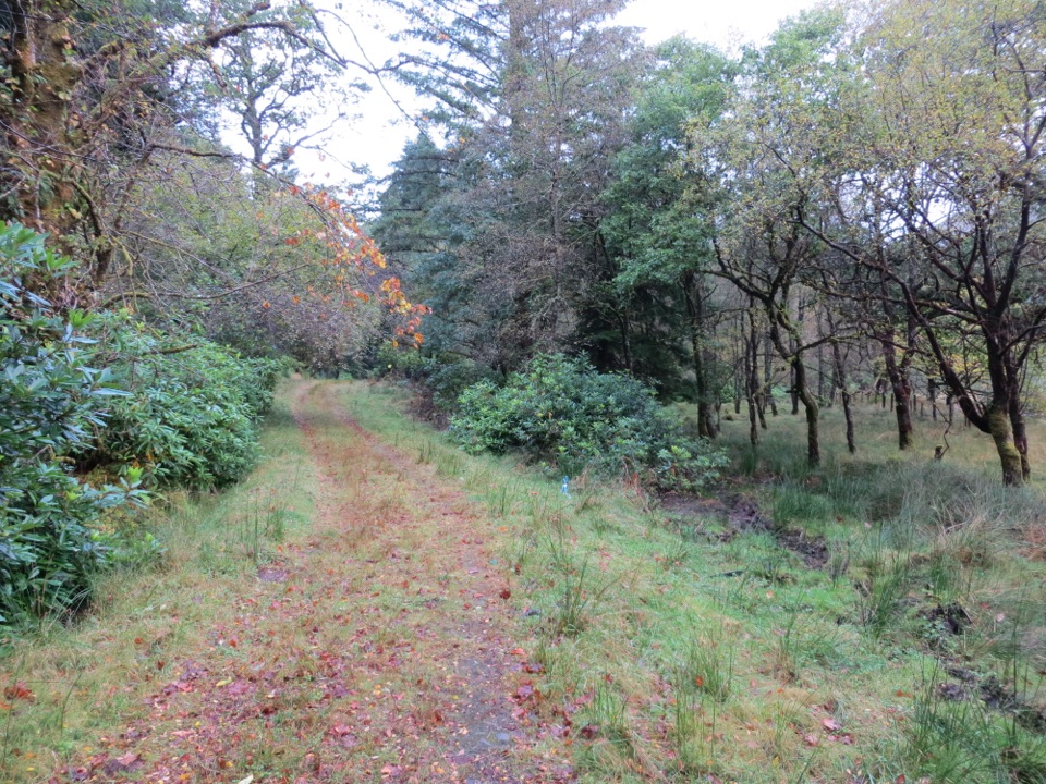
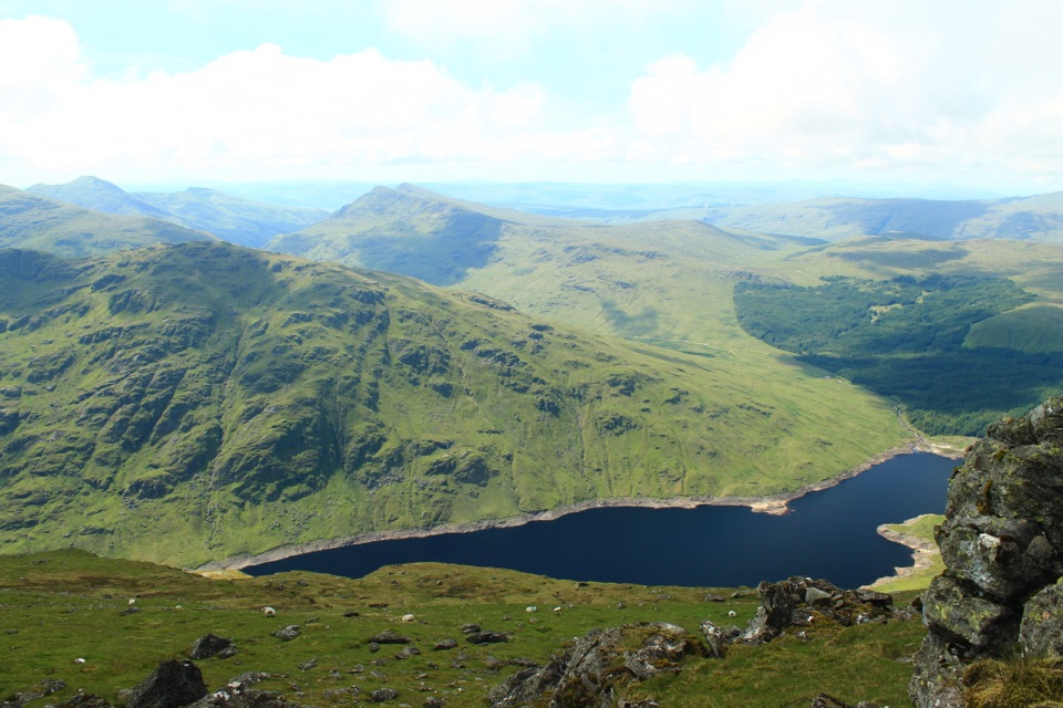
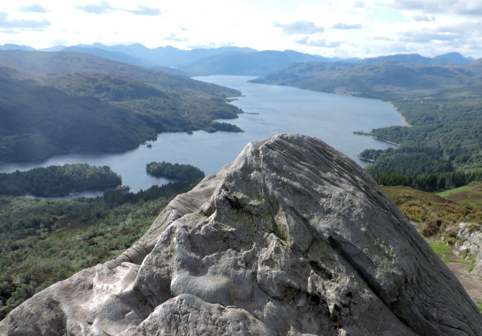
The walk starts opposite the Succoth car park on the A83, just west of Arrochar. The path climbs through forest before emerging onto open hillside. As you gain height, Loch Long opens out behind you; farther up, the views extend down the loch and across toward Ben Lomond when the weather is clear.

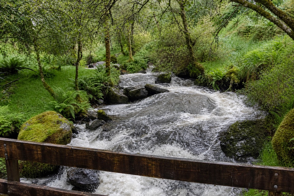
The approach follows the burn past a small hydro dam and the huge Narnain boulders. This is a good place to pause and look ahead: the three rocky tops have become much easier to make out. Keep a boulder or a stretch of the path in your photograph to show the scale of the peaks above it, without needing to stand near an edge.

Higher up, stone steps climb toward the ridge between the summits. The ground becomes steep and rocky, and the mountain feels very different from the forest path below. Keep enough energy for the descent as well as the climb. A shorter day can end on the approach, but you still have to walk back down everything you've climbed.

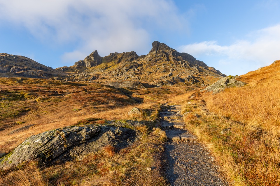
The rock that gives it its nameThe name refers to a crouching shoemaker, a shape people have seen in the summit rock.

The name refers to a crouching shoemaker, a shape people have seen in the summit rock. These crags also belong to the early story of Scottish climbing. Arrochar's Cobbler Club was active in the late nineteenth century, and climbers from Glasgow's shipyards and factories later came here to develop their skills.

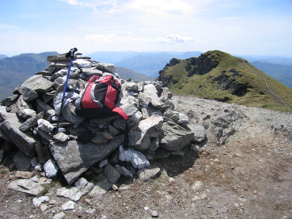
Near the central summit is the famous hole through the rock known as the eye of the needle. Reaching the pinnacle involves passing through it onto an exposed ledge and scrambling beyond. This needs scrambling ability and a head for heights. The surrounding summit area provides plenty to look at without attempting it; don't treat the final rock as a compulsory finish or a photo platform.

Plan a proper hill dayUse the Succoth car park for the standard walk and take care crossing the A83 to the path.

Use the Succoth car park for the standard walk and take care crossing the A83 to the path. Clear weather makes a real difference to the views, while snow and ice turn the upper mountain into a different undertaking. Carry food, water, waterproofs and navigation suitable for a full hill day.

The direct descent between the peaks includes loose, rocky ground and a gully scramble. If that doesn't suit you, return by the stepped approach. There are buses to Arrochar and Succoth, but check the return journey before setting off and leave room for a slower descent.

Wildlife

Wildlife in Loch Lomond & The Trossachs

All Loch Lomond & The Trossachs wildlife maps

Sighting maps show where each species has been reported across Loch Lomond & The Trossachs. Wildlife moves, so no sighting is guaranteed.

Keep exploring

Near The Cobbler (Ben Arthur)

See it all on the map

Trails nearby

More stops nearby

Parkwolf’s Loch Lomond & The Trossachs ranking

Top sights in Loch Lomond & The Trossachs

All 73 places
  1. 1Ben LomondSight
  2. 2Trossachs PierSight
  3. 3Conic HillSight
  4. 4Falls of DochartSight
  5. 5Ben A’anSight
  6. 6Bracklinn FallsSight

Take Parkwolf to Loch Lomond & The Trossachs.

The audio tour guide for the drive, plus offline maps, trails, and wildlife heatmaps for when the signal drops.

4.7 from 8,600+ ratings

Download Parkwolf on the App StoreGet Parkwolf on Google Play