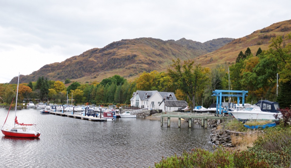
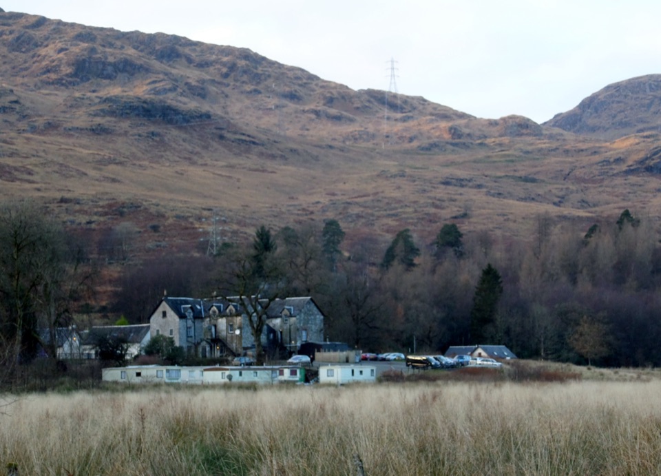
Beinn an Lochain in Loch Lomond & The Trossachs National Park

Loch Lomond & The Trossachs National Park, SC

Beinn an Lochain

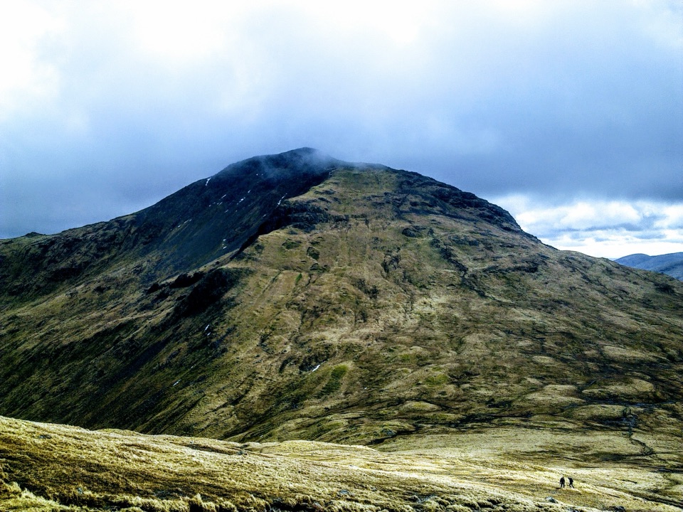
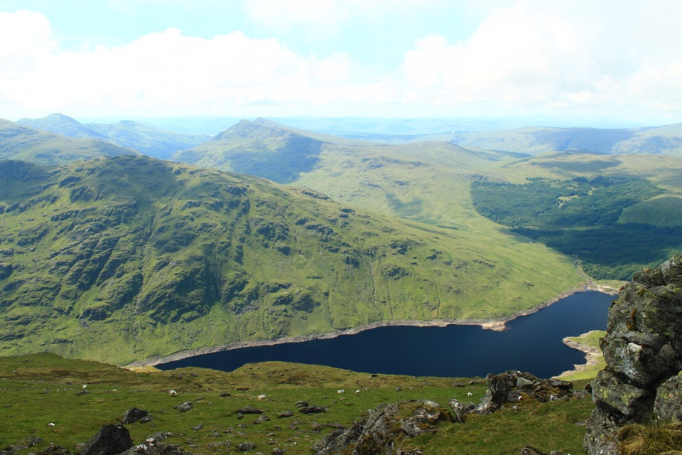
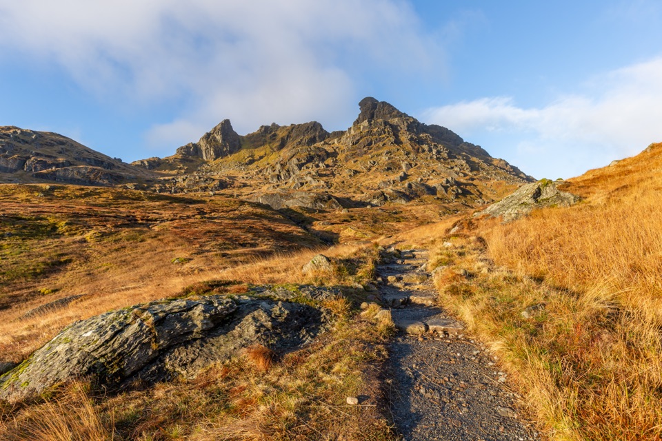
A steep rock staircase with Loch Fyne opening at the summit

Photo: Wikimedia Commons
Length
5.6km
Time
4hr
Elev. change
641m
Difficulty
Challenging
  • Dogs allowed
  • High point 882 m
  • #35 of 93 in Loch Lomond & The Trossachs

Hear the audio tour

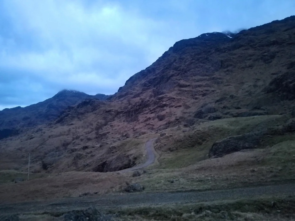
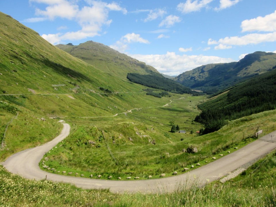
Beinn an Lochain from the A83

Overview

About Beinn an Lochain

Why go

  • Long, rocky ridge with a clear summit payoff
  • Loch Fyne opens up from the summit cairn

Heads up

  • Steep, eroded ascent with mild scrambling
  • Boggy, faint approach from the layby

Map & elevation

The route

Loading the Loch Lomond & The Trossachs map
Full map
Elevation241–882 m
TrailheadA83 layby between Loch Restil and Butterbridge56.23910, -4.85120
Keep this map with you offline in the Parkwolf app

Plan your hike

Before you go

Parking

Use the layby on the west side of the A83, north of Rest and Be Thankful, between Loch Restil and Butterbridge. Do not start from the larger Butter Bridge parking area; its path reaches swamp before the northeast ridge. Capacity and fees were not found; there is no public transport to the start.

Safety

Steep, eroded rocky ridge with mild scrambling and exposed upper ground. The faint approach is boggy and easy to misread; the optional grassy-terrace shortcut below the summit is hard to find.

4 active Loch Lomond & The Trossachs alerts

  • CautionA82 restriction near Kings House HotelThe A82 is restricted in both directions near Kings House Hotel, Glencoe, because of planned roadworks. - Temporary traffic lights are in place; follow the traffic management.Official details
  • ClosureDaytime A827 closure at KillinThe A827 at Killin is closed during the day for roadworks from 28 September through 9 October 2026. - Closure hours: 9:30am to 3:30pm; avoid the route during those hours.Official details
See all 4 alerts
A park ranger sits on a dash-mounted phone, talking, as Parkwolf’s Tour Guide plays “Army Cutworm Moths: A Grizzly Bear Buffet” on Grand Loop Road below Dunraven Pass in Yellowstone
Parkwolf Tour GuideThe highest, rockiest slopes around here are a summer buffet for grizzly bears.

Loch Lomond & The Trossachs Tour Guide

Your drive to Beinn an Lochain, narrated.

Parkwolf is a GPS audio tour guide for Loch Lomond & The Trossachs National Park. As you drive, it chimes in with what’s ahead: hidden gems, upcoming stops, history, geology, and wildlife, right through your car’s speakers.

Recorded for this trailhead

Beinn an Lochain from the A83
0:00 / 0:29
“You're approaching the A83 layby for Beinn an Lochain, between Loch Restil and Butterbridge.”

Plays as you drive up to this trailhead in the Parkwolf Loch Lomond & The Trossachs Tour Guide.

More stories near here in the app

  • Rest and Be Thankful above Glen Croe
  • Keats and the Missing Inn
  • Why Soldiers Built This Road
  • Why the Cobbler Has Three Peaks
  • 196 audio storiesacross Loch Lomond & The Trossachs’s roads, triggered by GPS as you drive
  • Wildlife heatmapsfor Golden Eagle, Red Deer, Mute Swan, and 13 more
  • Works offlinemaps, 93 trails, 73 places, and audio download before you lose signal
  • CarPlay readysimple controls built for the drive
★★★★★
“Fantastic app with many points of information… It’s great to just turn on while you’re driving and it gives you an audio tour of the national Park. We love it!!!!”
JMJamesApp Store review
Download Parkwolf on the App StoreGet Parkwolf on Google Play

4.7 from 8,600+ ratings

Trail guide

Hiking Beinn an Lochain

The ridge climbThis is a 3.

This is a 3.5-mile out-and-back from an A83 layby to the summit cairn of Beinn an Lochain, with the same route back. The short distance hides a hard climb: allow 3–5 hours for about 720 metres of ascent. You come for the long, rocky northeast ridge and the sudden southwest view along Loch Fyne. Beinn an Lochain was once listed as a Munro; later surveys put it below 3,000 feet, making it a Corbett.

Find the ridgeUse the layby on the west side of the A83, north of Rest and Be Thankful, between Loch Restil…

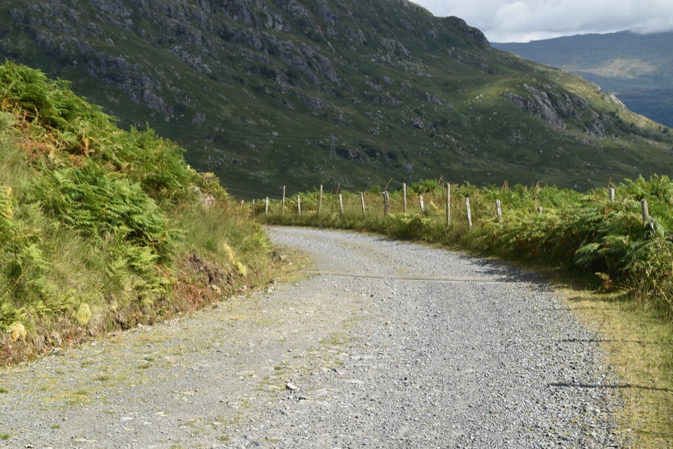
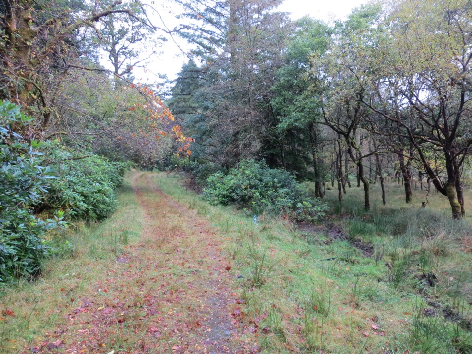
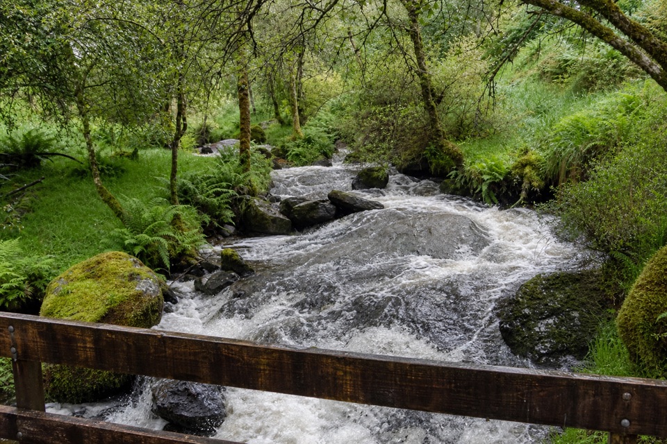
Use the layby on the west side of the A83, north of Rest and Be Thankful, between Loch Restil and Butterbridge. The larger Butter Bridge parking area is the wrong start: its path runs into swamp. From the layby, a faint path crosses the stream above Easan Dubh Falls, then crosses boggy ground northwest to the ridge above the forestry. This opening stretch is less obvious than the climb and can be very wet. There is no public transport to the start. No toilets, water or food are documented at the layby or along the route.

The climbOnce on the ridge, the path is easier to follow but steep and eroded.

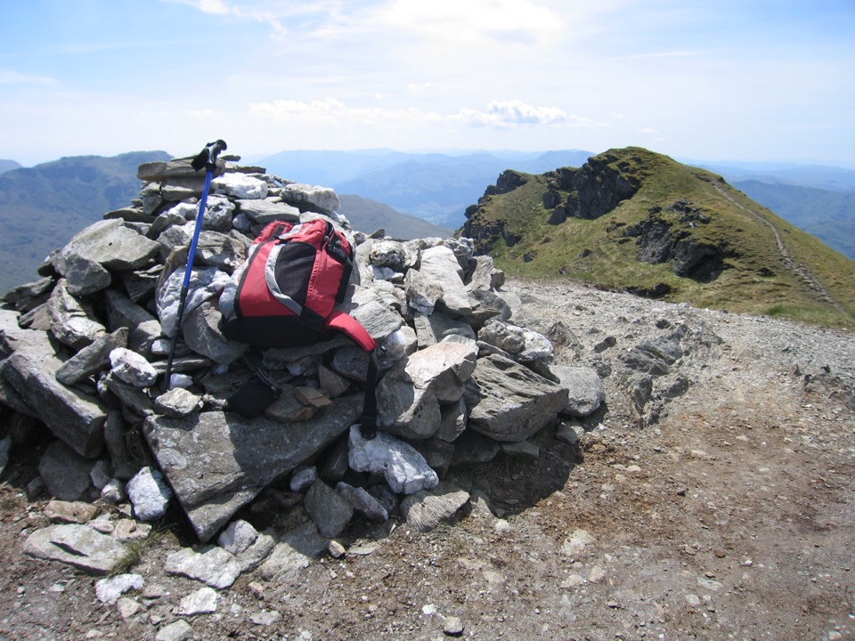
Once on the ridge, the path is easier to follow but steep and eroded. It climbs like a rough rock staircase, with short flatter, boggy breaks. At the 637-metre top, the summit comes into view; look back toward Butterbridge and Beinn Ìme. After a short descent, the ridge steepens again. The path climbs a grassy slope, swings right of rocky buttresses and then regains the crest. It gives views over Inveraray and down Loch Fyne before easing briefly toward the final rocky summit pyramid. A path skirts the cliffs on the left to the cairn on a grassy knoll. A second, cairnless top lies farther along the ridge; the mapped route turns at the main cairn.

Return and footingThe normal return retraces the ascent, so the rocky steps are steep downhill too.

The normal return retraces the ascent, so the rocky steps are steep downhill too. A faint grassy-terrace variation crosses below the summit and is easy to miss; the simpler return is to stay on the ascent line. The upper ridge has mild scrambling and exposed ground, and the first boggy approach is easy to misread. Dogs can accompany you under Scotland’s responsible access rules; keep them under control. For a summit photo, set the cairn against the ridge and frame Loch Fyne to the southwest.

Wildlife

Wildlife in Loch Lomond & The Trossachs

All Loch Lomond & The Trossachs wildlife maps

Sighting maps show where each species has been reported across Loch Lomond & The Trossachs. Wildlife moves, so no sighting is guaranteed.

Keep exploring

Near Beinn an Lochain

See it all on the map

Trails that start nearby

Places near the trailhead

Parkwolf’s Loch Lomond & The Trossachs ranking

Top-rated trails in Loch Lomond & The Trossachs

All 93 trails
  1. 1West Highland WayChallenging · 154.5 km
  2. 2Ben Lomond from RowardennanChallenging · 12.9 km
  3. 3Ben A’anModerate · 3.7 km
  4. 4Conic HillModerate · 4 km
  5. 5The CobblerChallenging · 10.5 km
  6. 6The Great Trossachs PathModerate · 48.3 km

Take Parkwolf to Loch Lomond & The Trossachs.

The audio tour guide for the drive, plus offline maps, trails, and wildlife heatmaps for when the signal drops.

4.7 from 8,600+ ratings

Download Parkwolf on the App StoreGet Parkwolf on Google Play