Parking
The path starts at Lochgoilhead Community Park and Gardens. No dedicated trail parking arrangement was verified.
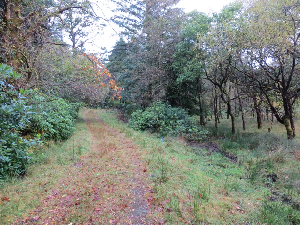
Loch Lomond & The Trossachs National Park, SC
An easy riverside walk through woodland to views of the Goil glen.
Overview
Map & elevation
Plan your hike

The highest, rockiest slopes around here are a summer buffet for grizzly bears.
Loch Lomond & The Trossachs Tour Guide
Parkwolf is a GPS audio tour guide for Loch Lomond & The Trossachs National Park. As you drive, it chimes in with what’s ahead: hidden gems, upcoming stops, history, geology, and wildlife, right through your car’s speakers.
Recorded for this trailhead
Lochgoilhead and Glen Donich“You're approaching Lochgoilhead, where the Glen Donich Trail follows an old Argyll road into a wooded glen.”
Plays as you drive up to this trailhead in the Parkwolf Loch Lomond & The Trossachs Tour Guide.
More stories near here in the app
“Fantastic app with many points of information… It’s great to just turn on while you’re driving and it gives you an audio tour of the national Park. We love it!!!!”


Trail guide
The River Goil Pathway is a 3.8-mile out-and-back from Lochgoilhead Community Park and Gardens to the northern end of the mapped River Walk. Allow about 1¾ hours for the full return. The low-level route follows the river rather than climbing a hill; the first riverside and beech-wood section is a natural shorter turnaround before the longer second phase.
In season, bluebells line the first stretch beside the River Goil, with picnic stops and places to paddle before the path enters beech woodland. Phase 2 begins on a forestry access road, narrows to a footpath through managed forest and native Atlantic oak, then opens by farmland to views across the river glen. Benches offer places to pause. The path’s northern end is described at the foot of Hell’s Glen by the B839; turn back there. Red squirrels and dippers are among the wildlife to look for; water voles, otters and kingfishers have also been recorded along the path.
Start at Lochgoilhead Community Park and Gardens. The first section is described as easy access, but the later route narrows to a footpath, so check that the whole walk suits your mobility needs. Keep dogs on a lead through the livestock field and alongside livestock. Dedicated parking details for the trail were not verified.
Wildlife
 14 sightingsGolden EagleMost seen around 6 PMSighting map
 37 sightingsRed DeerMost seen around 7 PMSighting map
 100 sightingsMute SwanMost seen around 11 AMSighting map
 48 sightingsOspreyMost seen around 6 PMSighting map
 24 sightingsEurasian BeaverMost seen around 8 PMSighting map
 37 sightingsEurasian Pine MartenMost seen around 7 PMSighting map
Sighting maps show where each species has been reported across Loch Lomond & The Trossachs. Wildlife moves, so no sighting is guaranteed.
Keep exploring
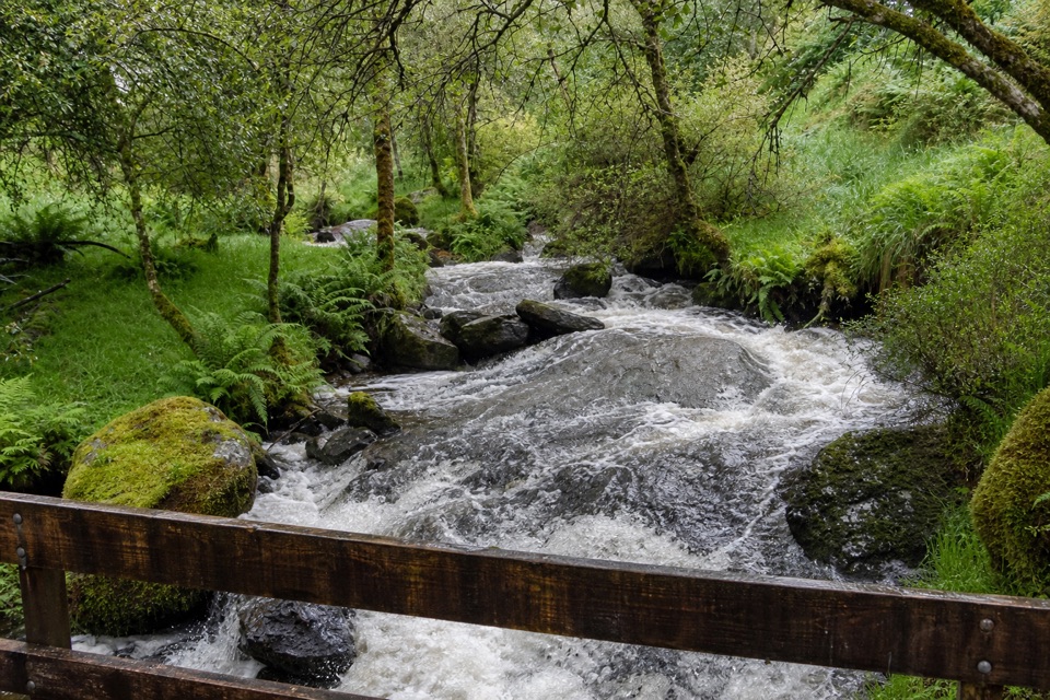 ChallengingGlen Donich Trail4 km · 1.5 hr · 0.3 km awayAn old Argyll road climbs to waterfalls beneath the trees
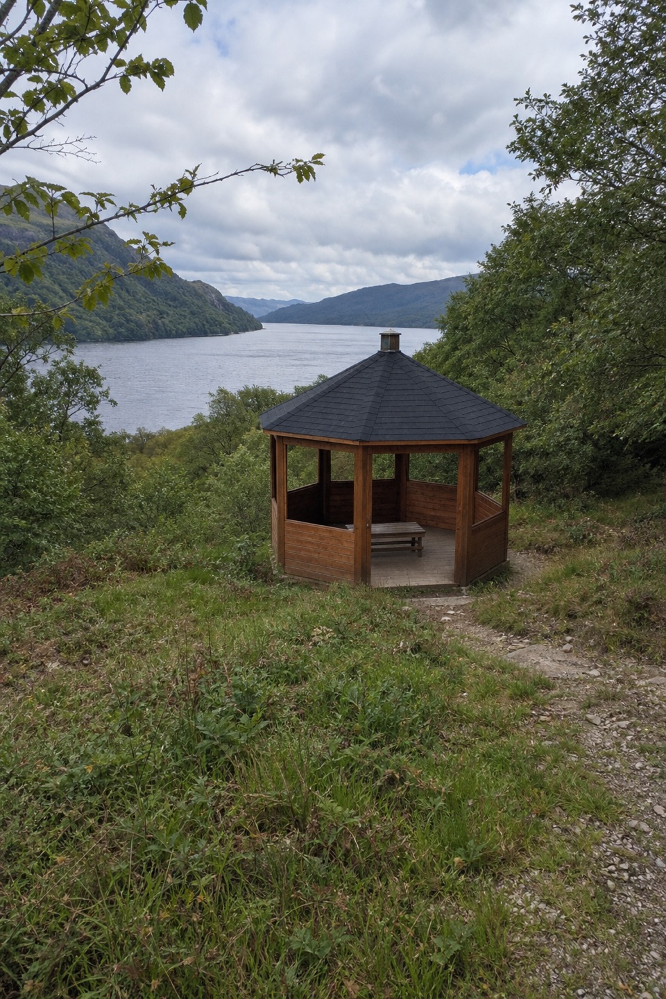 EasyCormonachan Blue Circular Walk2.5 km · 1 hr · 4.2 km awayA blue woodland loop to an ancient oak and Loch Goil views
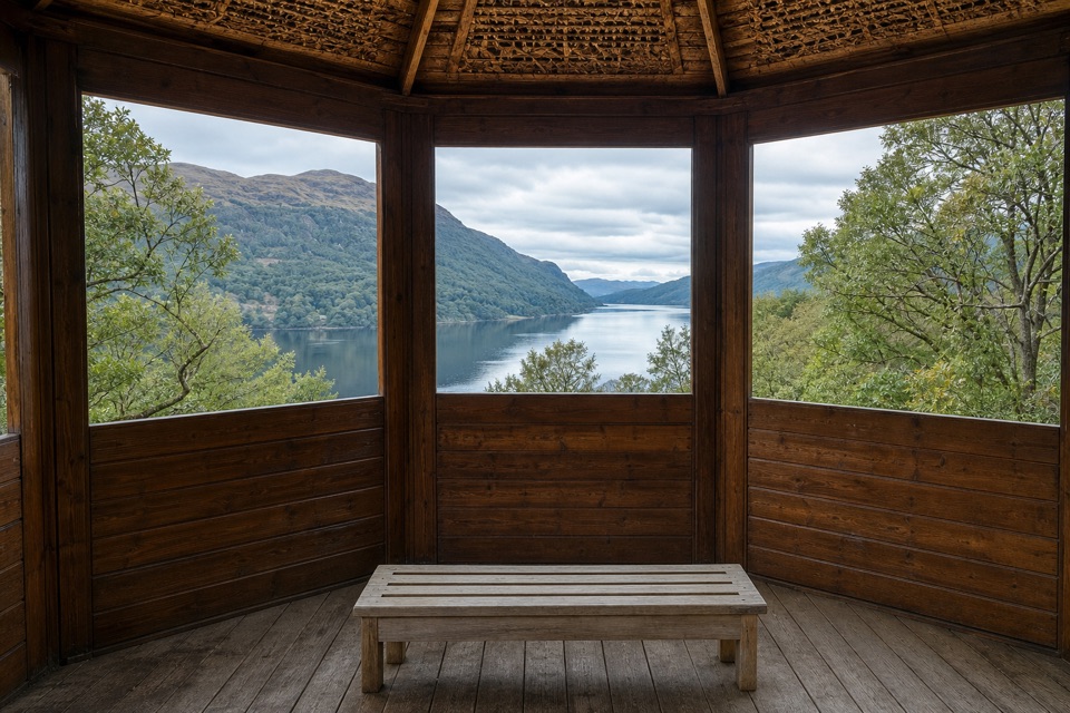 EasySquirrel Trail, Cormonachan1 km · 30 min · 4.2 km awayA squirrel hide and a Loch Goil lookout in one short loop
 ChallengingThe Brack from Ardgartan7.2 km · 4.5 hr · 7.3 km awayA steep Corbett climb that earns its views over Loch Long.
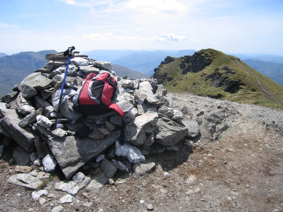 ChallengingBeinn an Lochain5.6 km · 4 hr · 7.8 km awayA steep rock staircase with Loch Fyne opening at the summit
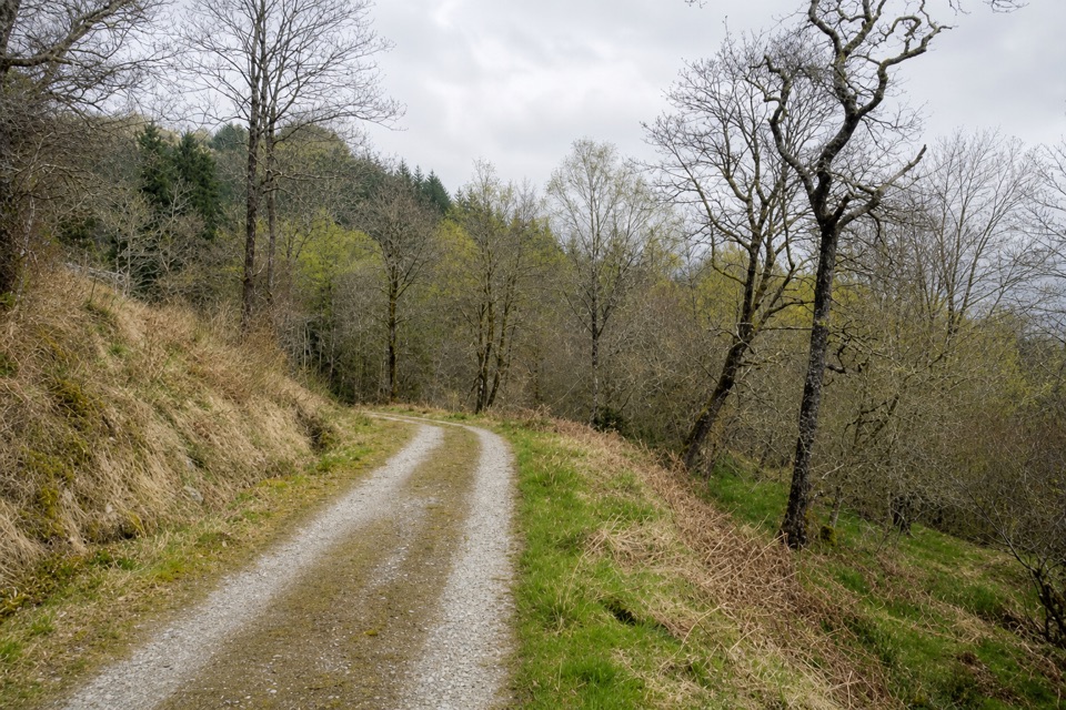 ChallengingGlen Eck Trail2.7 km · 1.5 hr · 9.7 km awayShort, steep walking that earns its Loch Eck views.
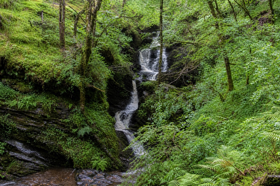 ChallengingWaterfall Trail, Glenbranter3.6 km · 1.5 hr · 9.7 km awayA steep forest climb to a stepped waterfall in a wooded gorge.
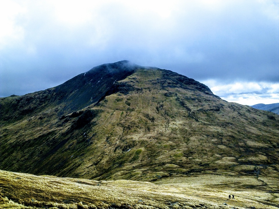 ChallengingBeinn Narnain and Beinn Ìme13.8 km · 6.5 hr · 10 km awayA rough 13.8 km loop over two Arrochar Munros.
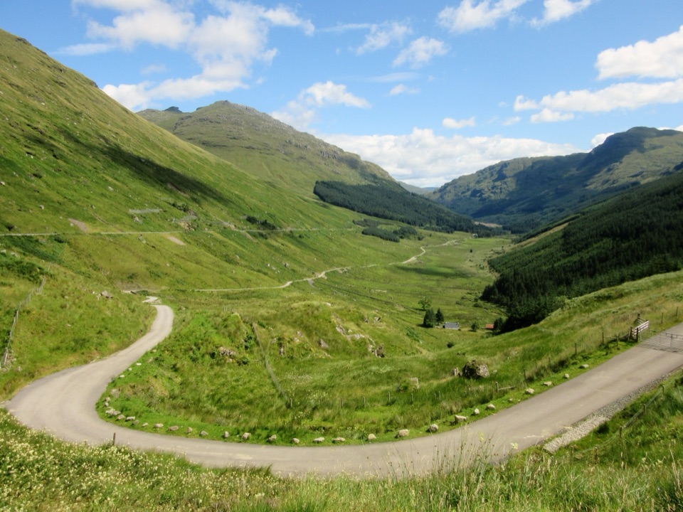 Sight · 6.3 km awayRest and Be Thankful ViewpointThe famous top-of-the-pass view, a soldiers' stone and a burger van
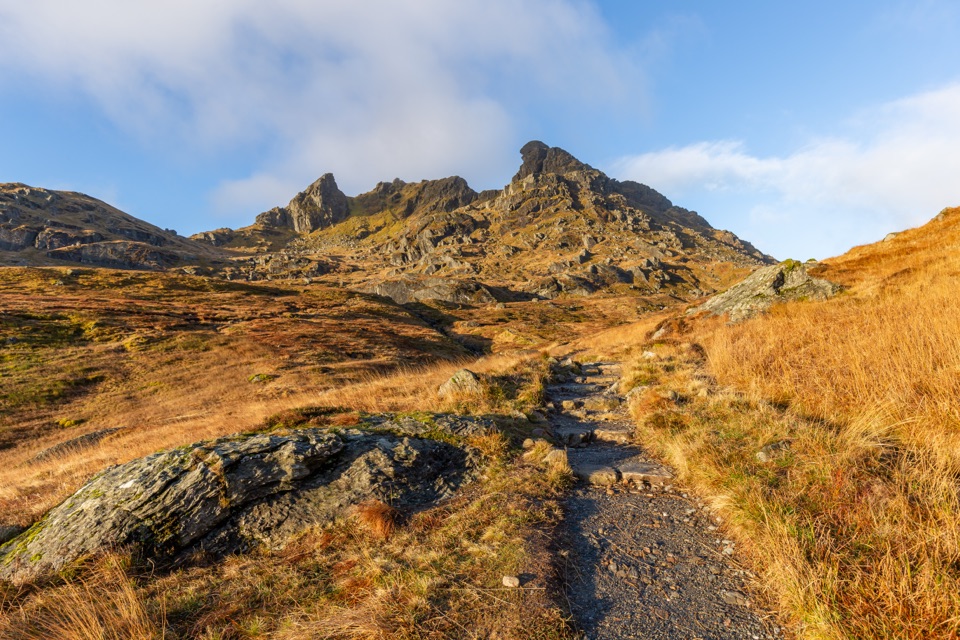 Sight · 7.2 km awayThe Cobbler (Ben Arthur)Three rocky summits, with an optional scramble through the needle.
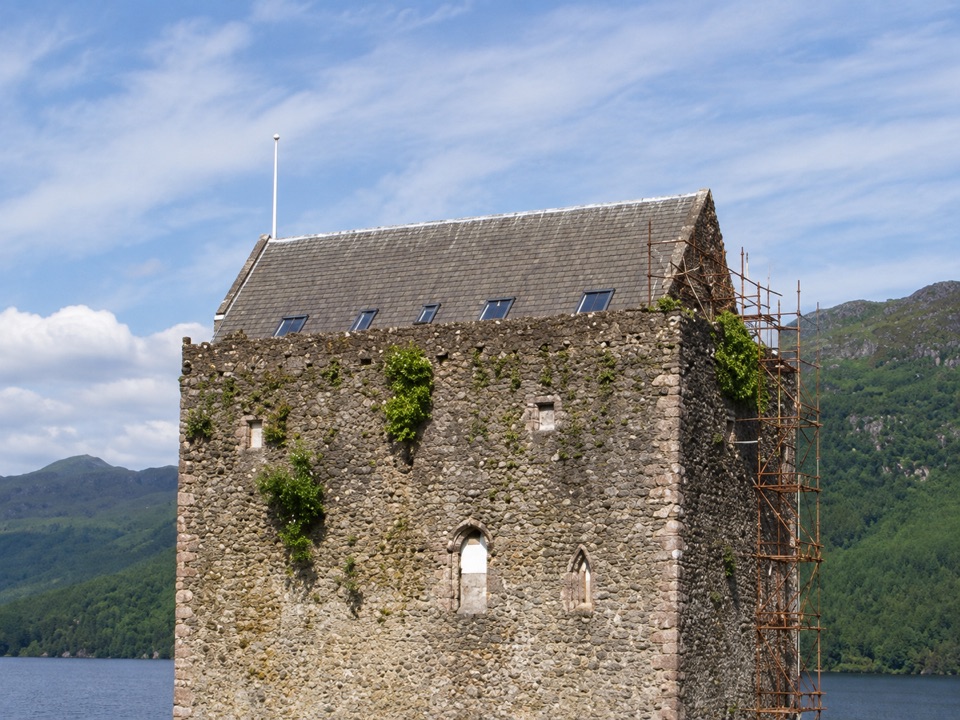 Sight · 7.5 km awayCarrick Castle Shore ViewA medieval tower on the loch shore, best enjoyed from outside.
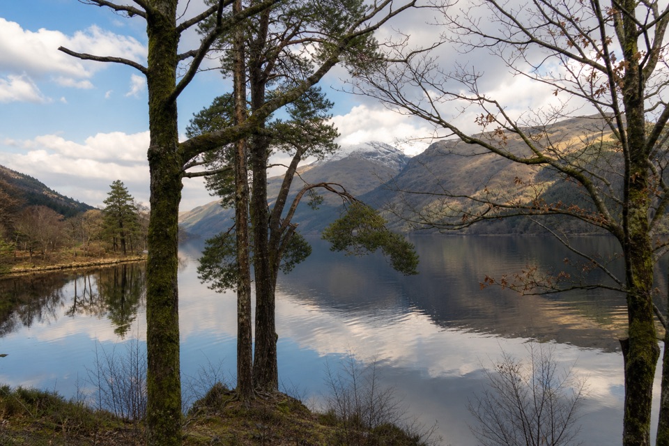 Picnic area · 10.5 km awayJubilee PointA quiet lochside picnic with room to launch a kayak.
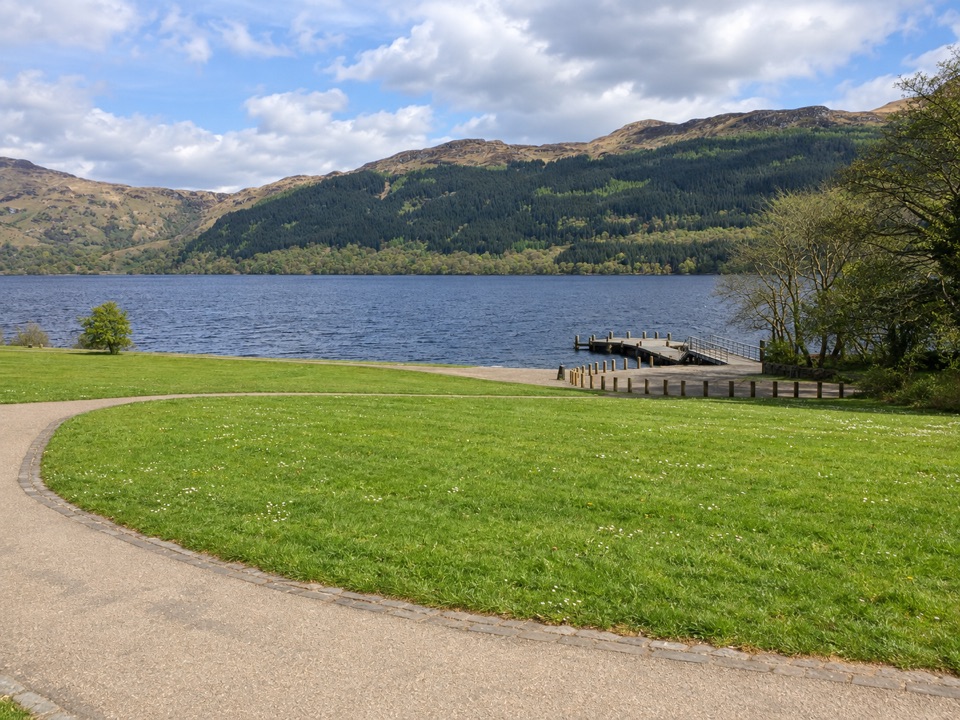 Sight · 12.4 km awayTarbet Pier and Picnic AreaBoard a circular cruise, or just take a short lochside break
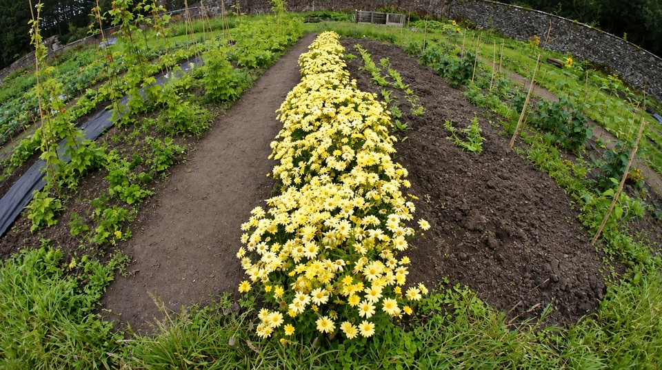 Sight · 13.4 km awayGlenfinart Walled GardenA volunteer-run garden with Victorian walls and room for a picnic.
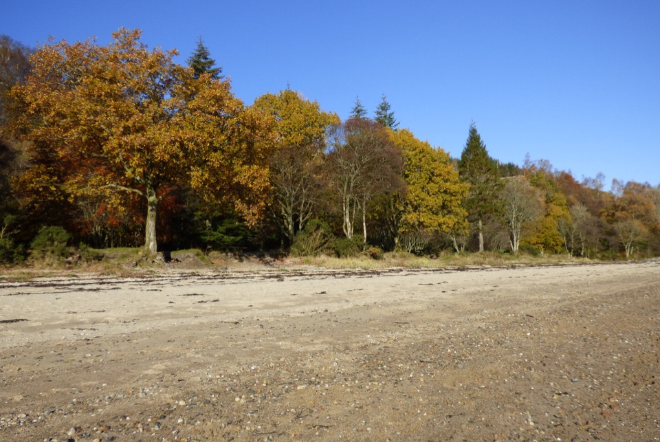 Beach · 13.4 km awayArdentinny BeachA long lochside beach with rock pools and woodland walks.
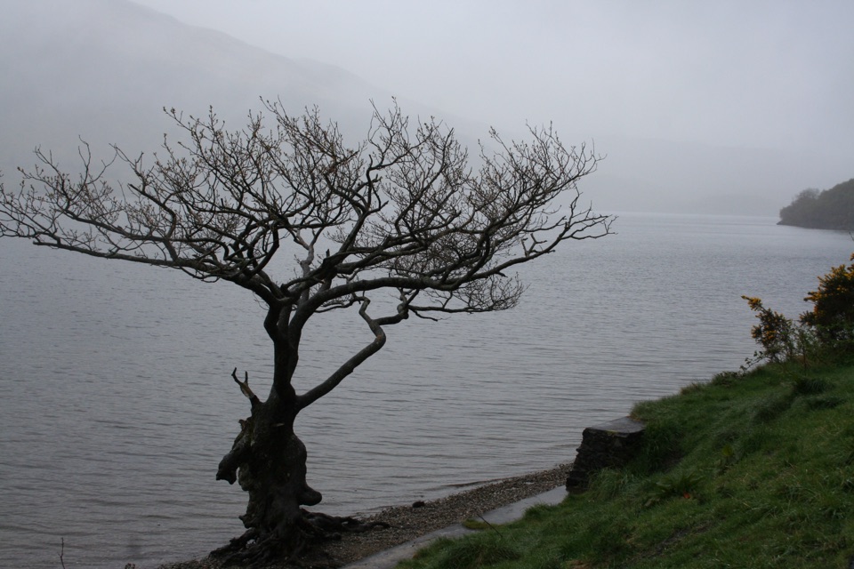 Sight · 14 km awayFirkin PointA lochside stop with Ben Lomond views and a long flat path.
Parkwolf’s Loch Lomond & The Trossachs ranking

The audio tour guide for the drive, plus offline maps, trails, and wildlife heatmaps for when the signal drops.





