Parking
Puck's Glen car park (PA23 8QT), on the east side of the A815 about 5 miles north of Dunoon and 1 mile south of Benmore Botanic Garden. The trail starts at the car park; a picnic area is there.
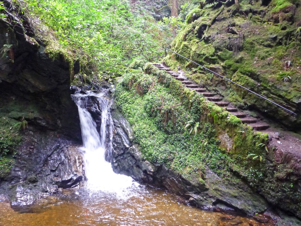
#7 of 93 trails in Loch Lomond & The Trossachs
Loch Lomond & The Trossachs National Park, SC
Waterfalls and a Victorian path packed into a short, steep gorge walk.
Overview
Map & elevation
Plan your hike

The highest, rockiest slopes around here are a summer buffet for grizzly bears.
Loch Lomond & The Trossachs Tour Guide
Parkwolf is a GPS audio tour guide for Loch Lomond & The Trossachs National Park. As you drive, it chimes in with what’s ahead: hidden gems, upcoming stops, history, geology, and wildlife, right through your car’s speakers.
Recorded for this trailhead
Puck’s Glen“Up ahead is Puck's Glen, where a short walk takes you into a mossy gorge crossed by footbridges and threaded with small waterfalls.”
Plays as you drive up to this trailhead in the Parkwolf Loch Lomond & The Trossachs Tour Guide.
More stories near here in the app
“Fantastic app with many points of information… It’s great to just turn on while you’re driving and it gives you an audio tour of the national Park. We love it!!!!”


Trail guide
Puck's Glen Gorge Trail is a 1¾-mile (2.8 km) loop from Puck's Glen car park, up a Victorian walkway through a narrow, steep-sided gorge and back through the forest. It follows a tumbling burn beneath towering Douglas firs, crossing arched wooden bridges and passing several waterfalls. The payoff is close-up: mossy walls, ferns, rock and moving water. This is a short walk with a surprisingly physical middle, not a long ridge stroll.
Allow about 1 to 1½ hours. With the A815 behind you, follow the old road north, passing behind a large complex of wooden chalets. Just before half a kilometre, turn right at an old milepost onto the gorge path. The trail starts up the right side of the burn, then crosses it repeatedly on footbridges. In the Lower Glen, short, steep flights of rough stone steps alternate with narrow, rocky path and wetter stretches. Some edges above the water are unprotected, so keep children close and watch where you put your feet.
At the sign for the Lower and Upper Glen, continue ahead into the Upper Glen. A path off to the right heads back to the car park early; it is a useful shorter choice if you only want the lower section. The full loop dips briefly in the Upper Glen, then crosses more bridges past several more waterfalls, with less climbing than the lower gorge.
The narrow ravine eventually gives way to a forestry track. Turn right at first, then take the rightmost of the two paths branching right at the next junction. The broad return path gives a short look across the strath before it drops into tall pines. At the seat junction, turn left downhill; the shortcut from the gorge joins from the right. A hump-backed wooden footbridge brings you back to the same car park.
The walkway has a little theatrical history: the Younger brewing family built the original path, and it was restored in 1986. Puck's Hut, once placed in the glen to heighten the drama, has since been moved to Benmore Botanic Garden. After rain the waterfalls are especially lively, but the stone steps and wet sections can be slick. For a photo, include a bridge or the stairway beside a fall; it gives the rushing water a sense of scale without edging closer to the drops.
The car park has a picnic area. Benmore Botanic Garden, about a mile south, is a separate stop for a cafe and public toilets; it is not part of the gorge loop. Expect firm but uneven gravel, rough rocky and narrow sections, steep slopes, long flights of rough steps and several bridges. This is a strenuous-feeling walk for its length, especially if you are unsteady on wet steps or uneasy beside an unprotected edge. The waymarks make the route easy to follow, but stay on the marked path rather than branching onto the connecting forest tracks.
Wildlife
 14 sightingsGolden EagleMost seen around 6 PMSighting map
 37 sightingsRed DeerMost seen around 7 PMSighting map
 100 sightingsMute SwanMost seen around 11 AMSighting map
 48 sightingsOspreyMost seen around 6 PMSighting map
 24 sightingsEurasian BeaverMost seen around 8 PMSighting map
 37 sightingsEurasian Pine MartenMost seen around 7 PMSighting map
Sighting maps show where each species has been reported across Loch Lomond & The Trossachs. Wildlife moves, so no sighting is guaranteed.
Keep exploring
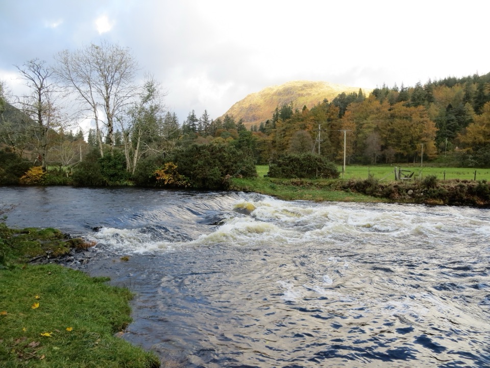 ModerateRiver Eachaig & Massan Circuit5 km · 1.8 hr · 1.6 km awayA mostly level loop beside the Eachaig and Massan, with several bridges.
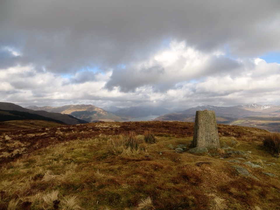 ChallengingStrone Hill5.6 km · 3 hr · 3.8 km awayA steep climb to the trig point and wide Clyde views.
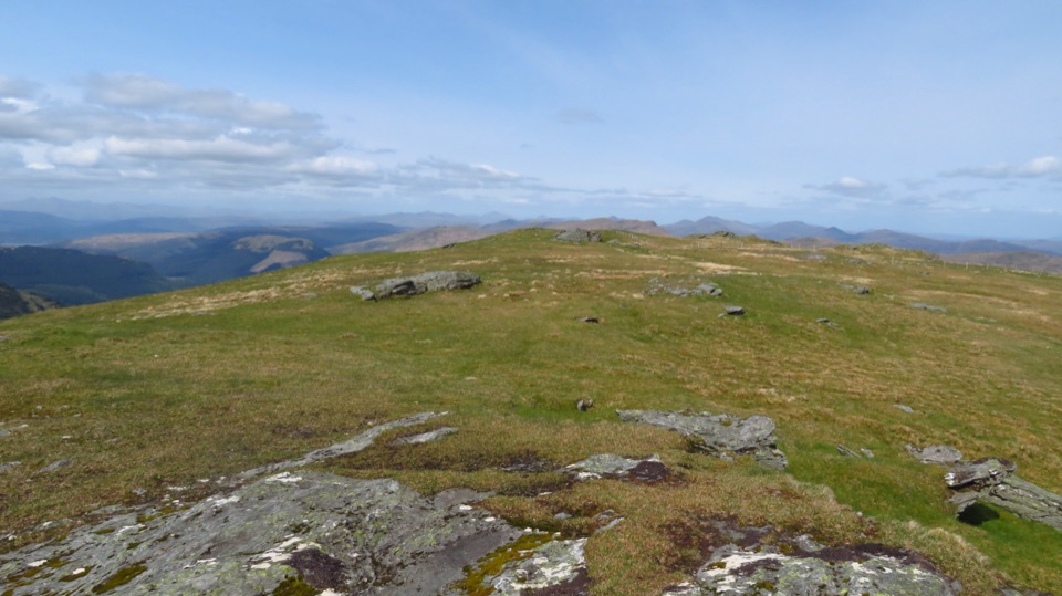 ChallengingBeinn Mhòr from Glen Massan12.9 km · 5 hr · 4.2 km awayA long Glen Massan approach leads to Cowal’s highest summit.
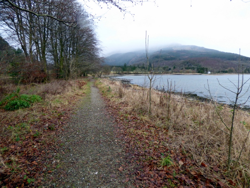 ModerateLaird’s Trail3.2 km · 1 hr · 6.3 km awayA forest loop to an 1860 grave with Loch Long views.
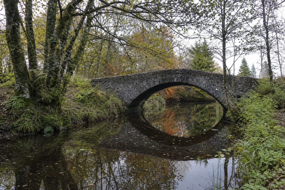 EasyRiverside Trail, Ardentinny1.3 km · 30 min · 6.3 km awayA short burnside loop to a stone arch and spring flowers.
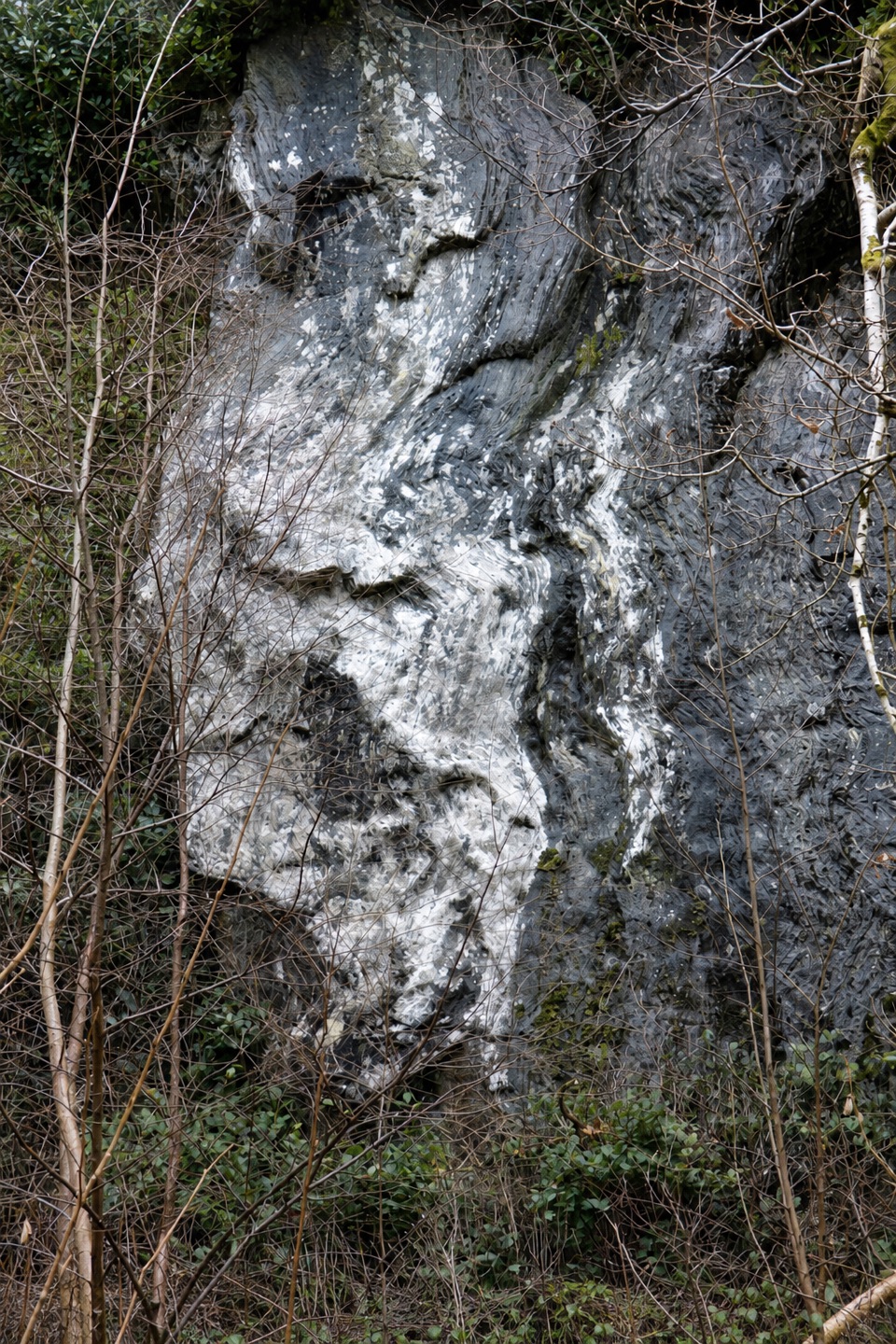 ModerateBirchwood Trail, Ardentinny1.6 km · 45 min · 6.3 km awayA steep woodland loop above Lover’s Leap, back by Grotto Burn.
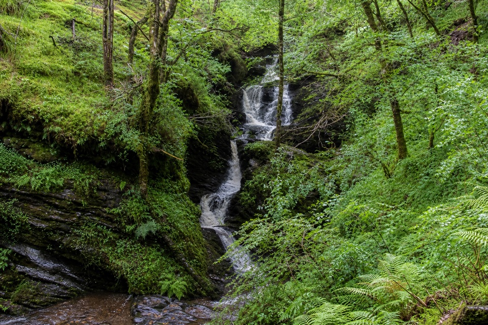 ChallengingWaterfall Trail, Glenbranter3.6 km · 1.5 hr · 14.1 km awayA steep forest climb to a stepped waterfall in a wooded gorge.
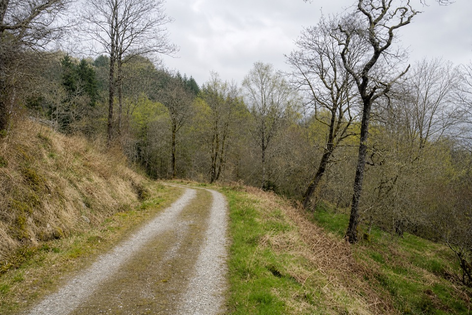 ChallengingGlen Eck Trail2.7 km · 1.5 hr · 14.3 km awayShort, steep walking that earns its Loch Eck views.
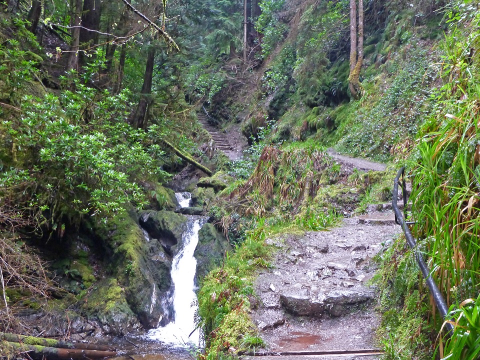 Sight · At the trailheadPuck’s GlenA mossy gorge walk threaded with waterfalls, bridges and ferns.
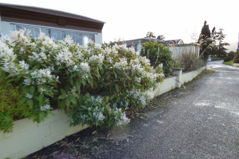 Campground · 1.2 km awayCot House Caravan ParkA practical Cowal base with touring pitches and a handy shop.
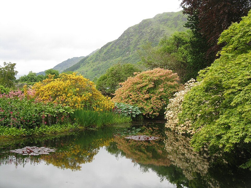 Sight · 1.7 km awayBenmore Botanic GardenGiant redwoods below a hillside of plants from around the world.
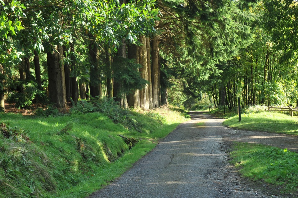 Sight · 2.3 km awayKilmun ArboretumA 1930s tree collection with Holy Loch views and steep trails.
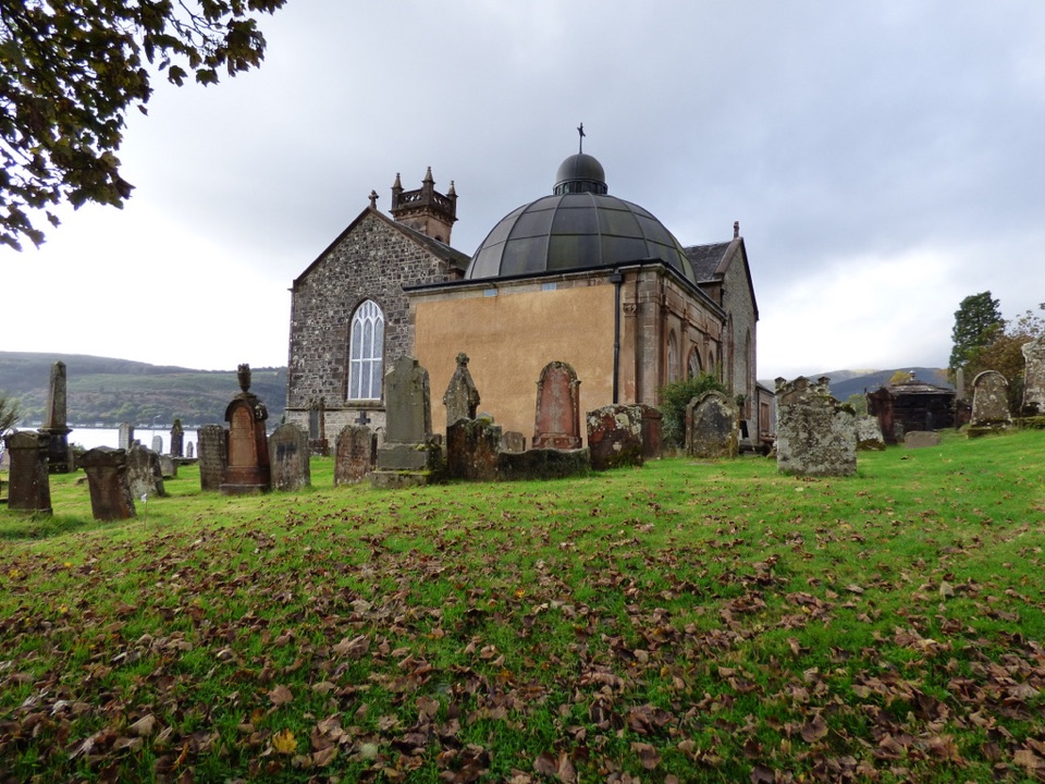 Sight · 2.7 km awayHistoric Kilmun and Argyll MausoleumA lochside church with a mausoleum, stained glass, and a rare organ.
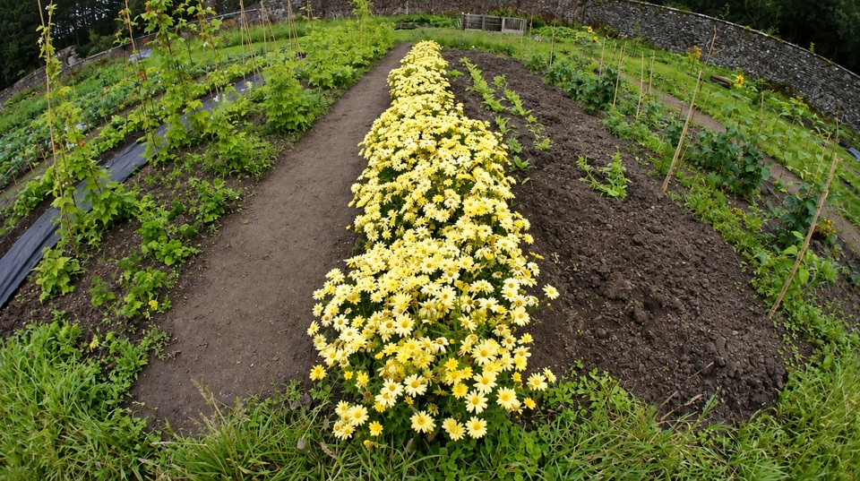 Sight · 6.2 km awayGlenfinart Walled GardenA volunteer-run garden with Victorian walls and room for a picnic.
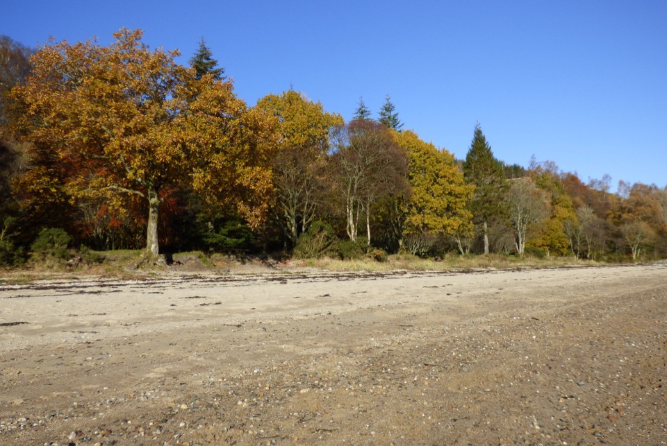 Beach · 6.3 km awayArdentinny BeachA long lochside beach with rock pools and woodland walks.
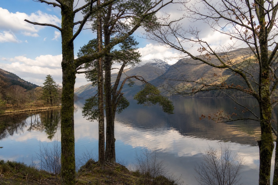 Picnic area · 9.2 km awayJubilee PointA quiet lochside picnic with room to launch a kayak.
Parkwolf’s Loch Lomond & The Trossachs ranking

The audio tour guide for the drive, plus offline maps, trails, and wildlife heatmaps for when the signal drops.





